

- Schwierigkeit
-
mittel
- Bewertung
-
- Wegverlauf
-
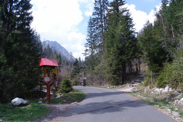
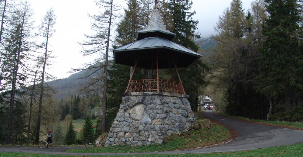
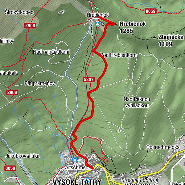
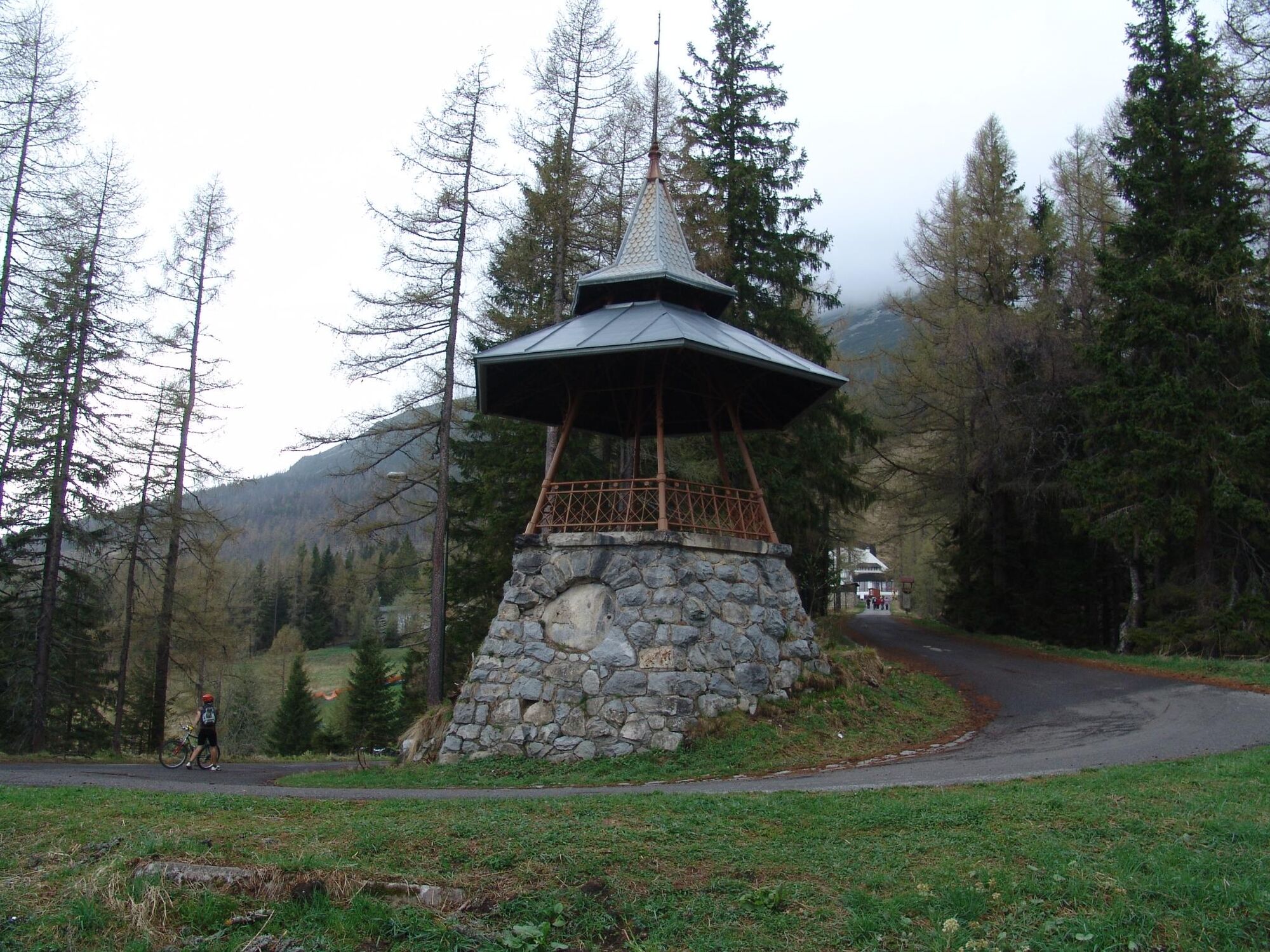
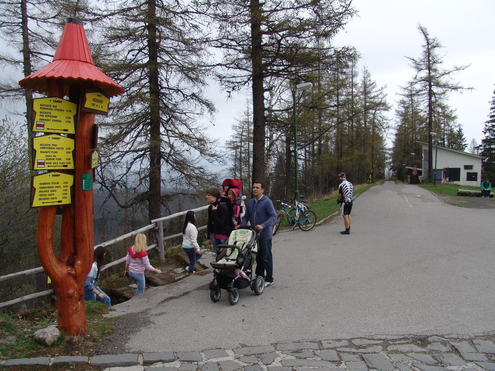
Kaplnka Lurdskej Panny Márie0,1 kmHohe Tatra (853 m)0,1 kmAltschmecks0,1 kmKämmchen (1.285 m)2,6 kmHrebienok2,7 km
- Beschreibung
-
A TRAINING TO HREBIENOK
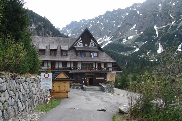
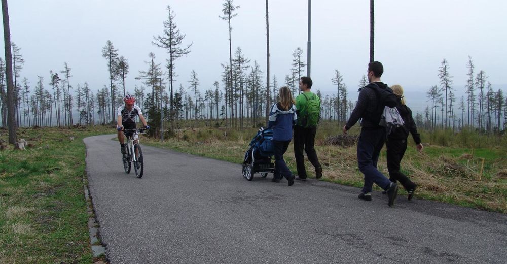
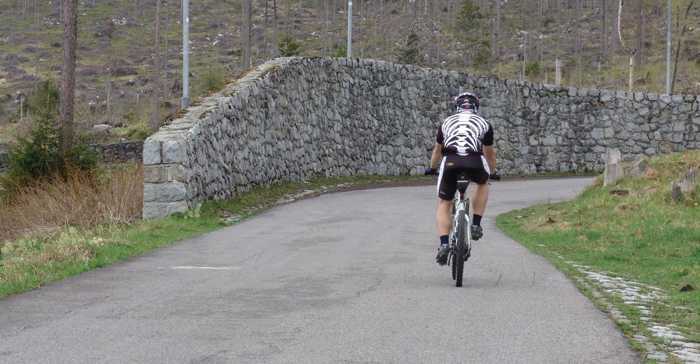
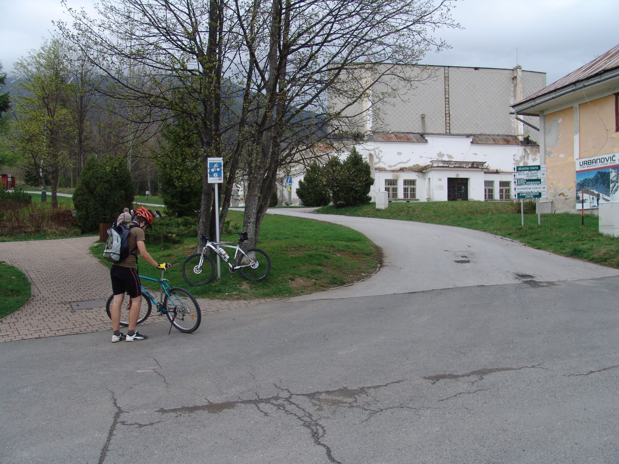
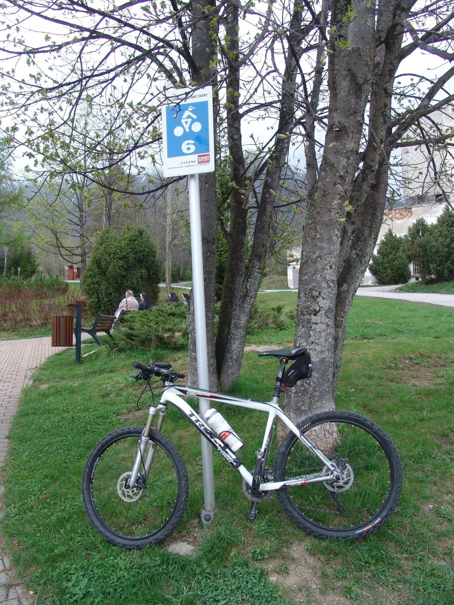
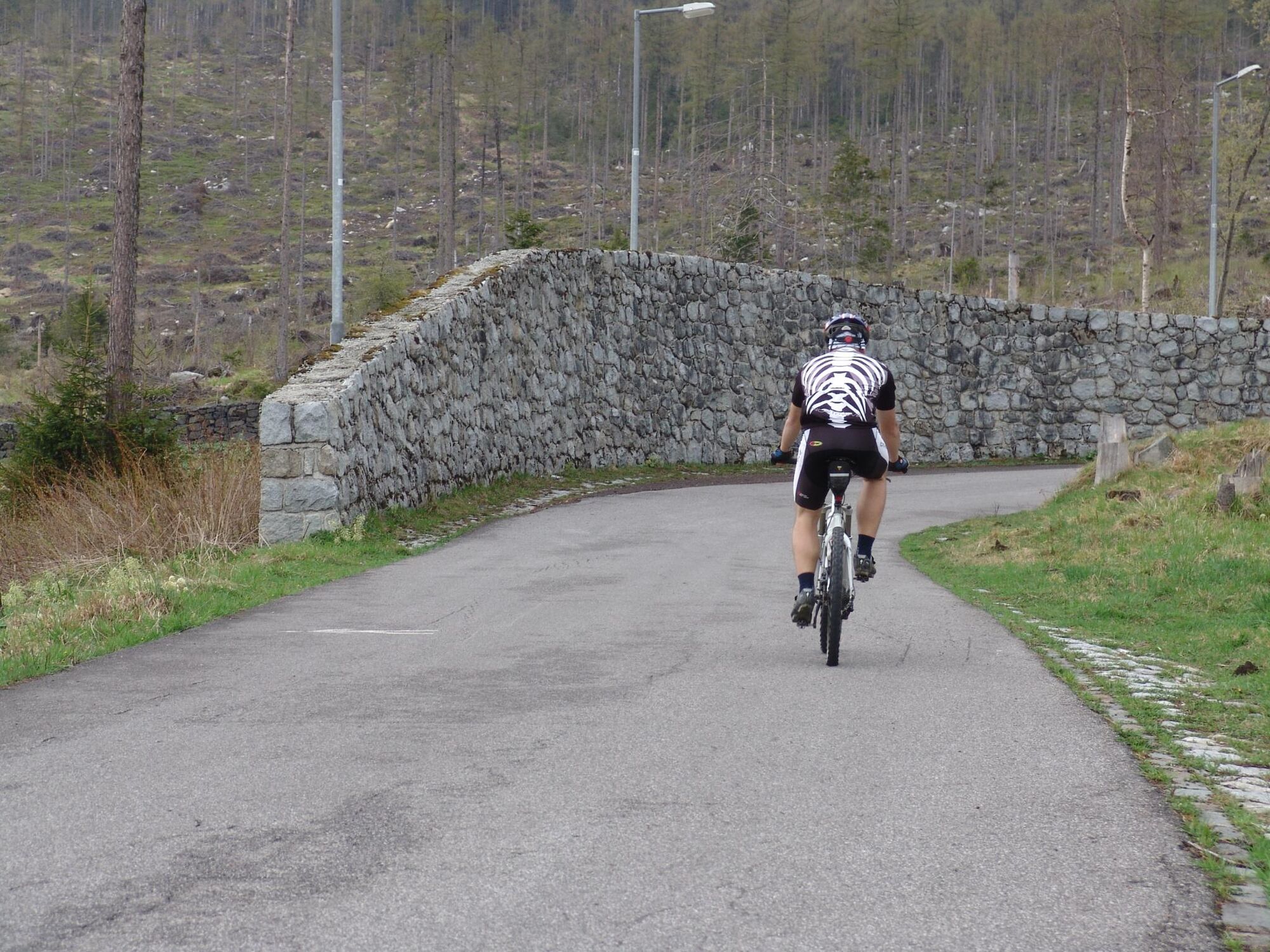
The well-known cycle route in the Tatras begins at the municipality office of the Town of Vysoké Tatry. It is attractive mainly for speed lovers. The ascent is constant and quite easy to manage. In the second third of the track, there are some tens of metres where you can recover your strength before the final part. The ascent gets steepest before the last turn but the finish is almost flat. The cycle route ends at Hrebienok, a popular starting point for hiking trips to the valleys of Malá Studená dolina and Veľká Studená dolina. There are enough refreshment opportunities at nearby chalets. And after a tasty reward, you can enjoy a fast downhill down to Starý Smokovec and reach a speed of up to 70 km/h on a track with a good view of all corners.
- Höchster Punkt
- 1.269 m
- Zielpunkt
-
Hrebienok
- Höhenprofil
-
 © outdooractive.com

- Autor
-
Die Tour 2864 - Starý Smokovec - Hrebienok wird von outdooractive.com bereitgestellt.


-
Poprad
17