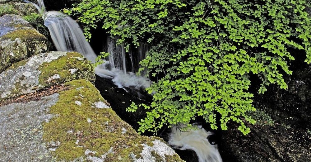
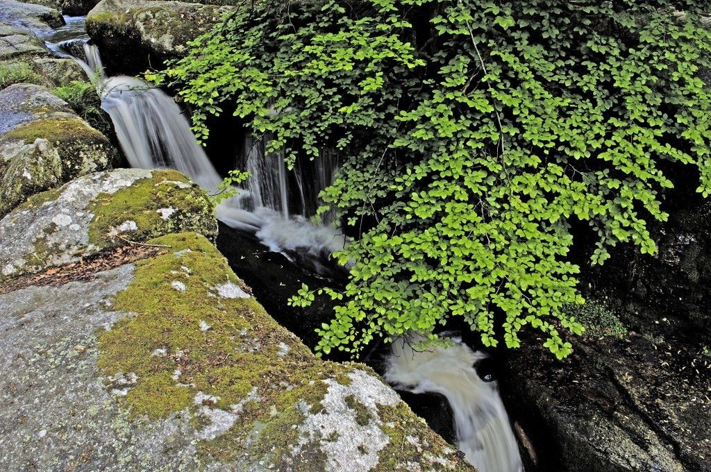
« GR de Pays » waterfalls, moors and peat bogs

Mountainbike

© Unbekannt - JDamase
© Unbekannt - JDamase

© TourismeCreuse

- Kurzbeschreibung
-
The « GR de Pays » of moors, waterfalls and peat bogs invites you to discover some of the richness of the territory of the community of commues of Bourganeuf – Royère de Vassivière on foot, by mountin bike or on horseback
- Schwierigkeit
-
mittel
- Bewertung
-
- Wegverlauf
-
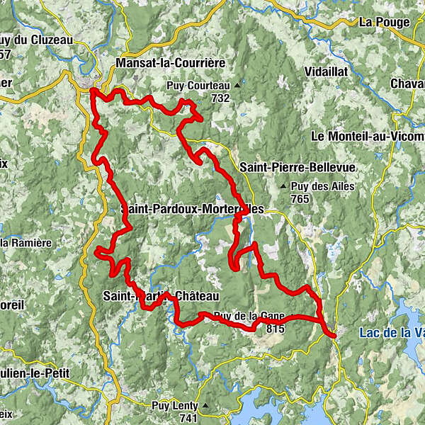
L'Atelier0,0 kmRoyère-de-Vassivière0,0 kmÉglise Saint-Germain0,0 kmLe Pic6,2 kmLe Picq6,2 kmBeaubier7,0 kmLe Mas7,7 kmLa Chaise9,1 kmPuy la Chaise (746 m)12,0 kmVue sur la lande d'Augerolles12,2 kmAugerolles13,5 kmFreisseix16,2 kmMorterolles19,8 kmÉglise Sainte-Anne-Saint-Sébastien19,9 kmChignat25,5 kmFaux-Mazuras29,5 kmÉglise Saint-Pierre-et-Saint-Paul29,6 kmBourganeuf32,8 kmLes Planèzes33,9 kmChapelle Saint-Blaise38,5 kmPuy de Chabanne (643 m)40,7 kmSaint-Junien-la-Bregère44,8 kmMontayaud48,3 kmSaint-Martin-Château53,9 kmÉglise Saint-Martin53,9 kmLe Puy du Coucou61,7 kmPuy de la Gane (815 m)63,9 kmRoyère-de-Vassivière66,3 kmÉglise Saint-Germain66,3 kmL'Atelier66,4 km
- Beste Jahreszeit
-
JanFebMärAprMaiJunJulAugSepOktNovDez
- Höchster Punkt
- 809 m
- Höhenprofil
-
 © outdooractive.com

-

-
AutorDie Tour « GR de Pays » waterfalls, moors and peat bogs wird von outdooractive.com bereitgestellt.
GPS Downloads


Allgemeine Infos
Einkehrmöglichkeit
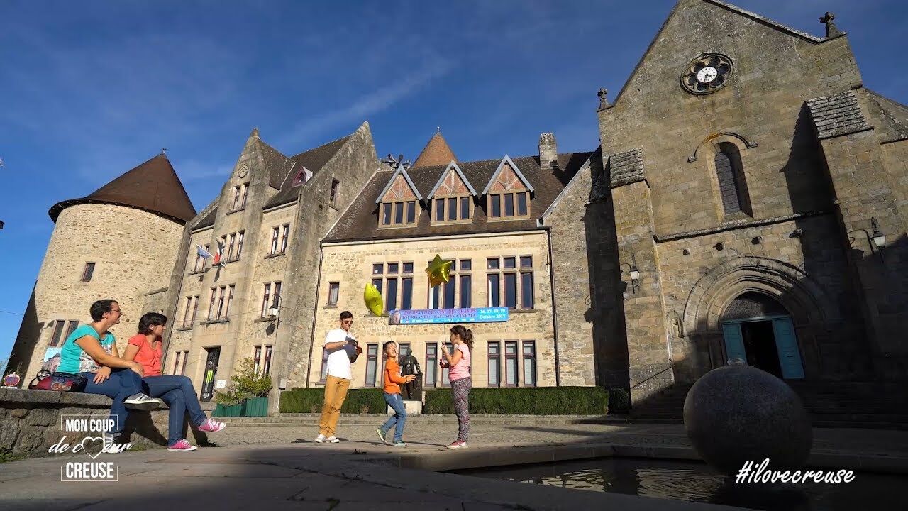
Kulturell/Historisch