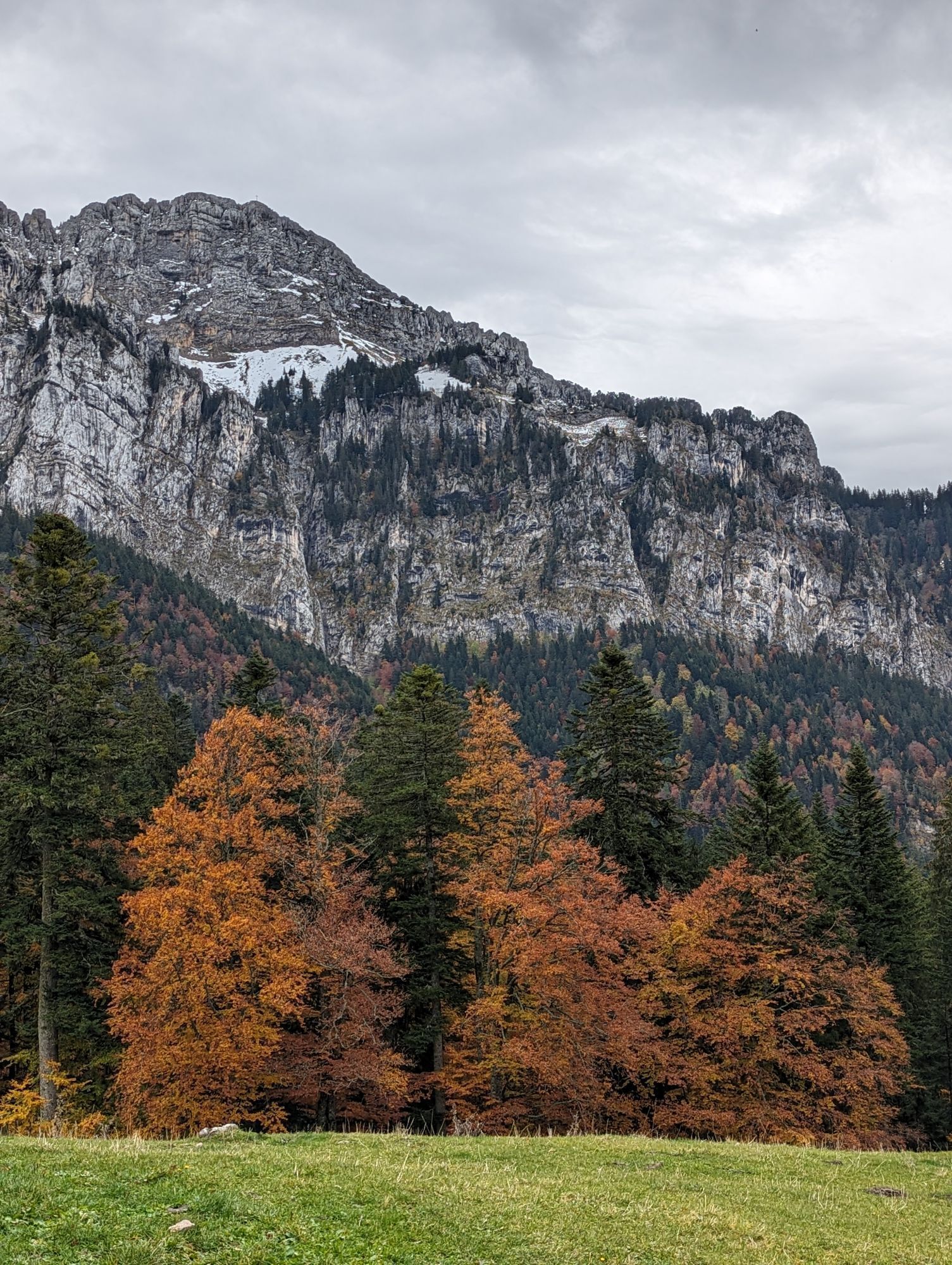
Faubourg Reclus - Église Notre-Dame-d'Épernay - Chapelle Notre-Dame-du-Rosaire - Basilique du Sacré-Cœur
Mountainbike
Navigieren
Navigieren
Hol diese Tour auf dein Handy
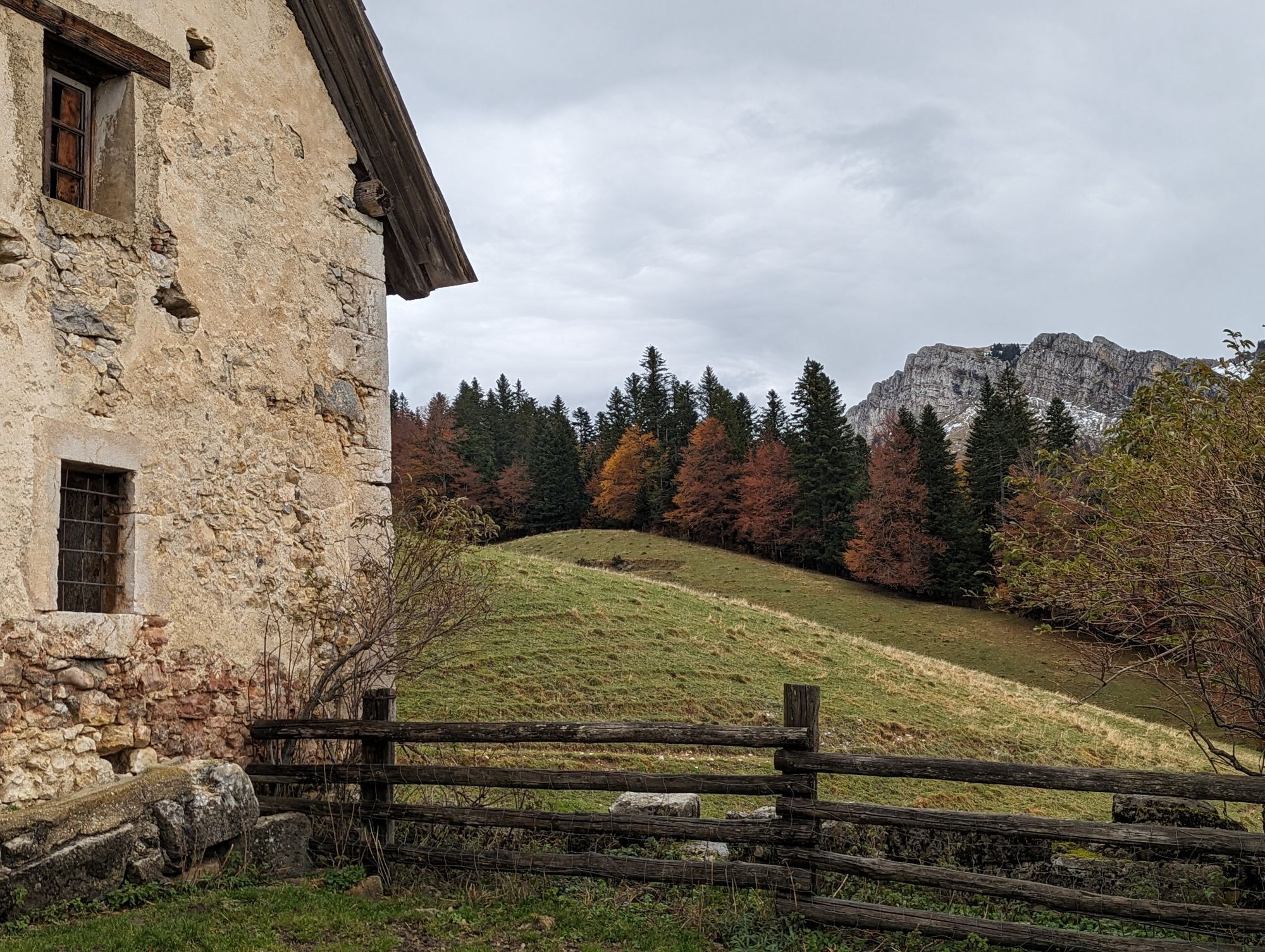
Faubourg Reclus - Église Notre-Dame-d'Épernay - Chapelle Notre-Dame-du-Rosaire - Basilique du Sacré-Cœur
Mountainbike
87,31
km
QR-Code scannen und Navigation in der bergfex App beginnen

Wandern & Tracking


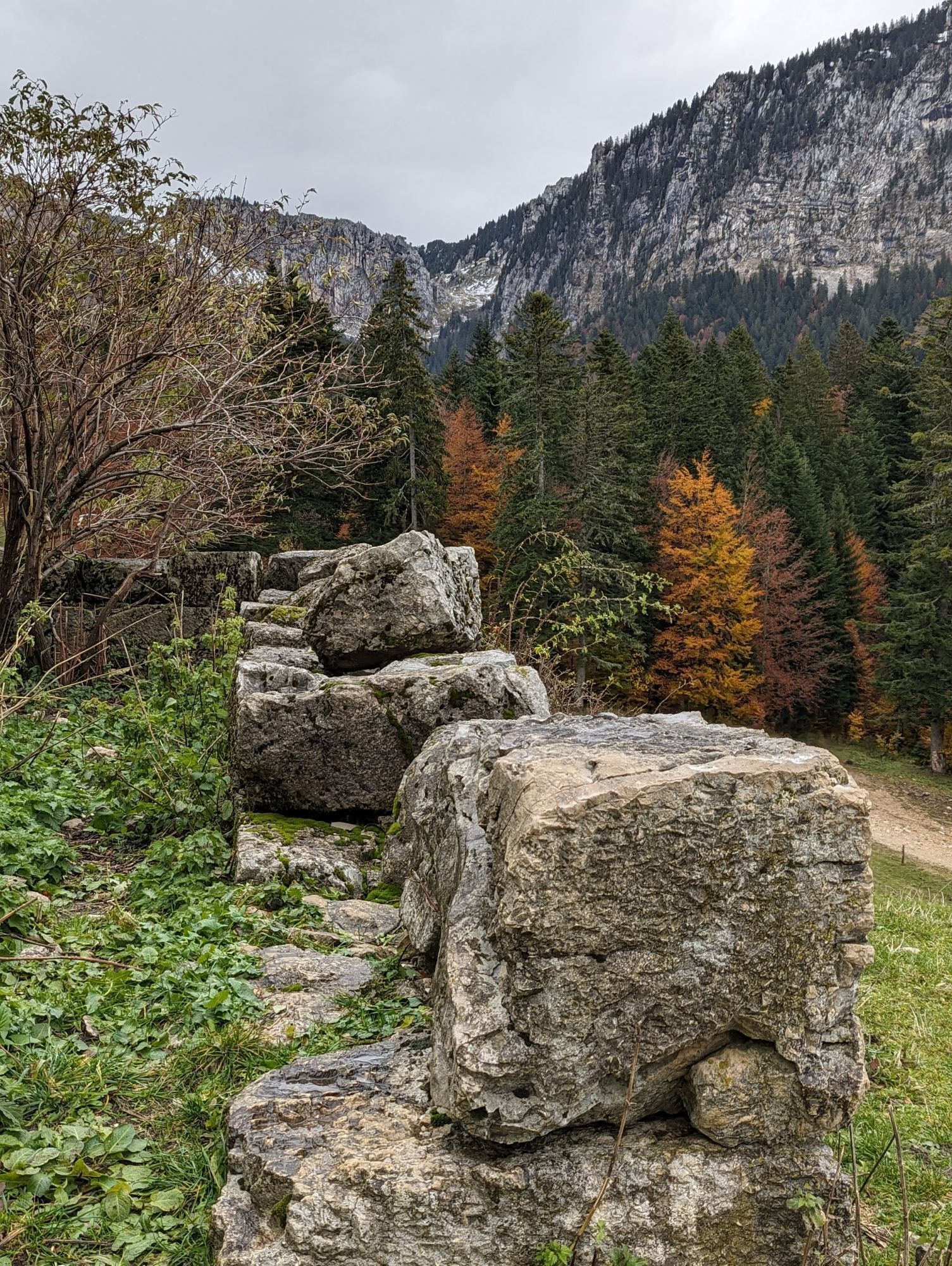
Faubourg Reclus - Église Notre-Dame-d'Épernay - Chapelle Notre-Dame-du-Rosaire - Basilique du Sacré-Cœur
Mountainbike
Distanz
87,31
km
Dauer
12:18
h
Aufstieg
1.958
hm
Seehöhe
205 -
1.328
m
Track-Download
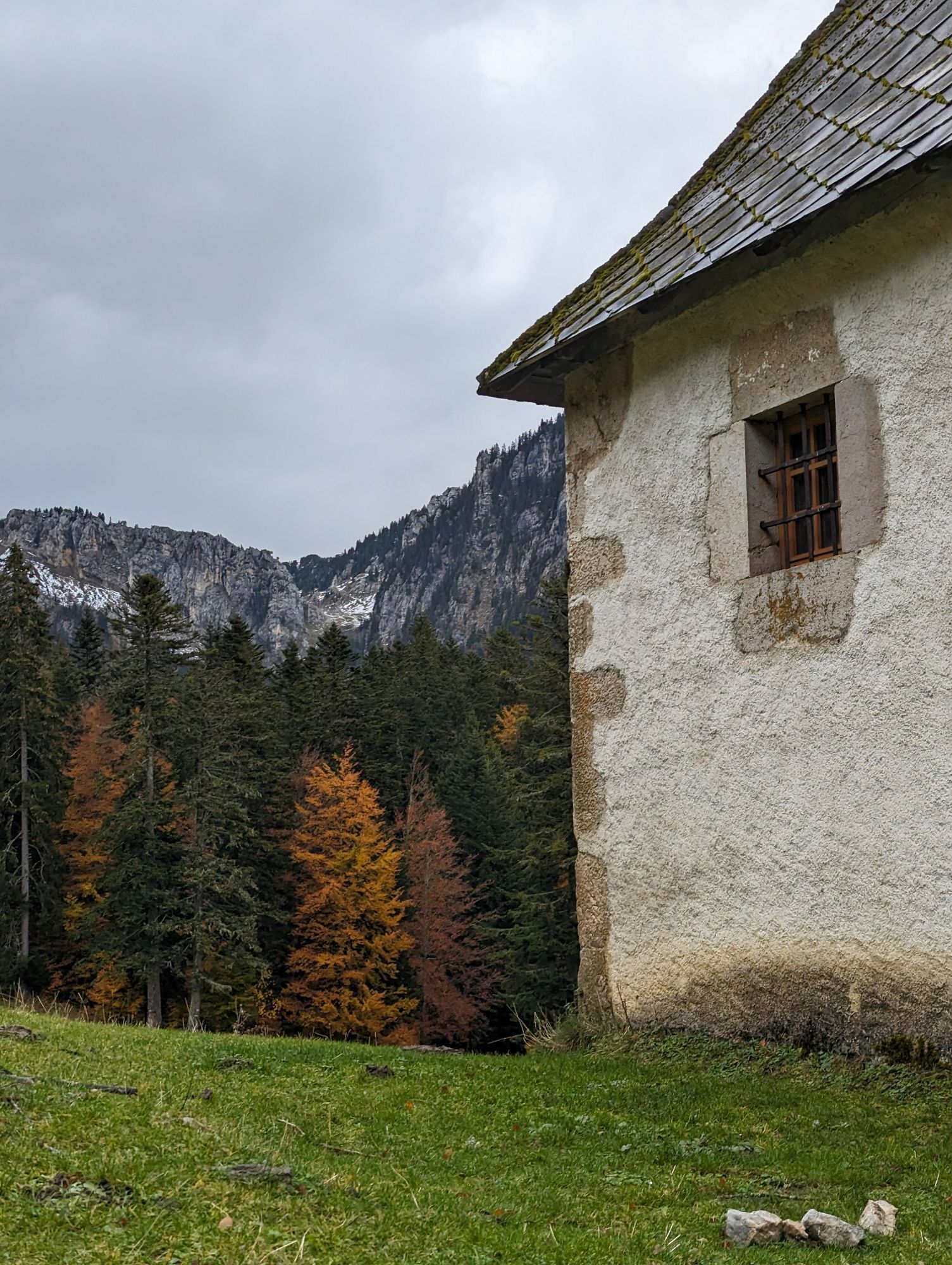
Faubourg Reclus - Église Notre-Dame-d'Épernay - Chapelle Notre-Dame-du-Rosaire - Basilique du Sacré-Cœur
Mountainbike
87,31
km


Wegverlauf
Église de Jésus-Christ des saints des derniers jours
(270 m)
Andachtsstätte
0,2 km
Les Carrés des Clarines
(316 m)
Stadtviertel
3,4 km
Église Saint-Alexis
(641 m)
Andachtsstätte
32,9 km
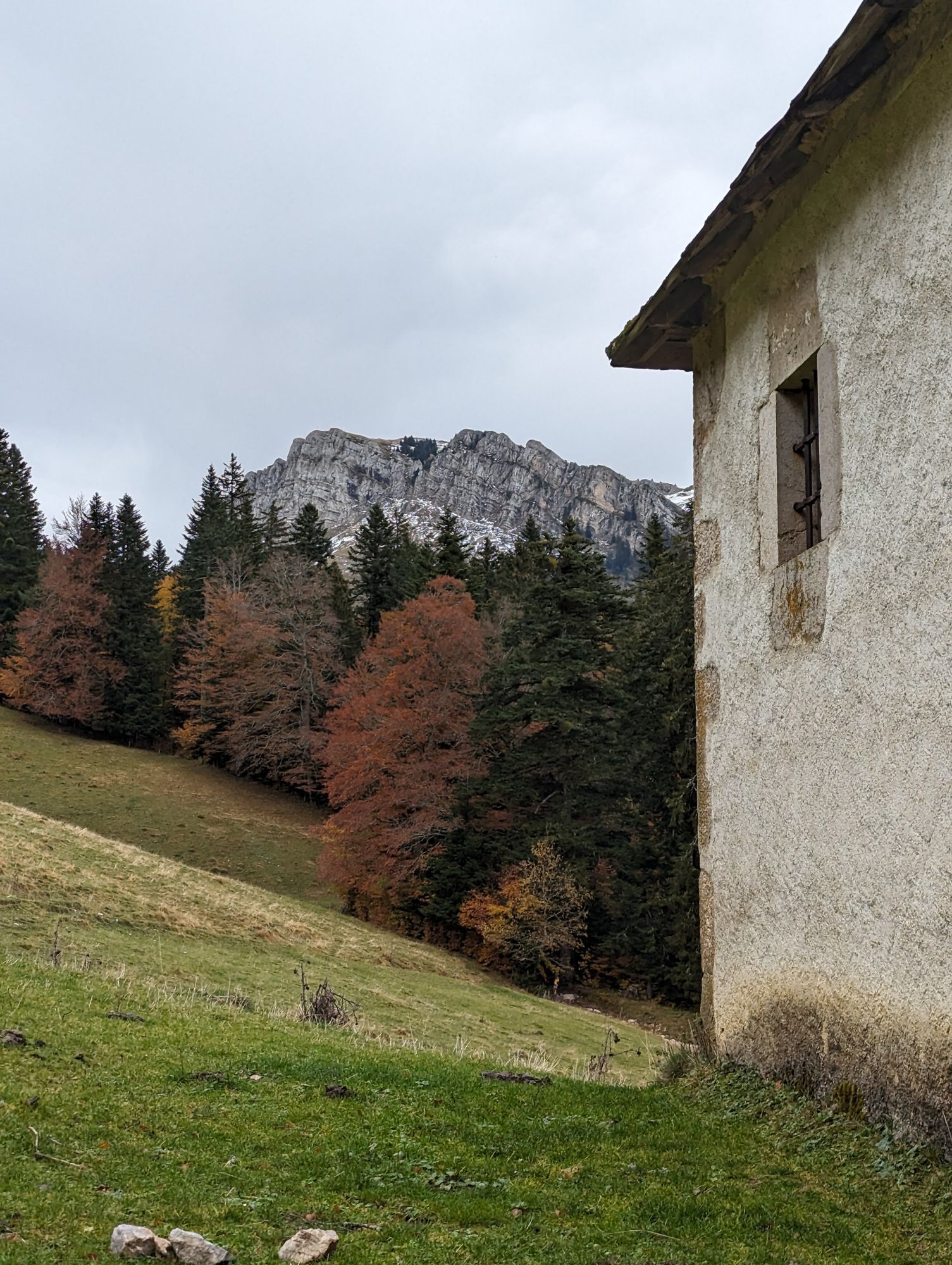
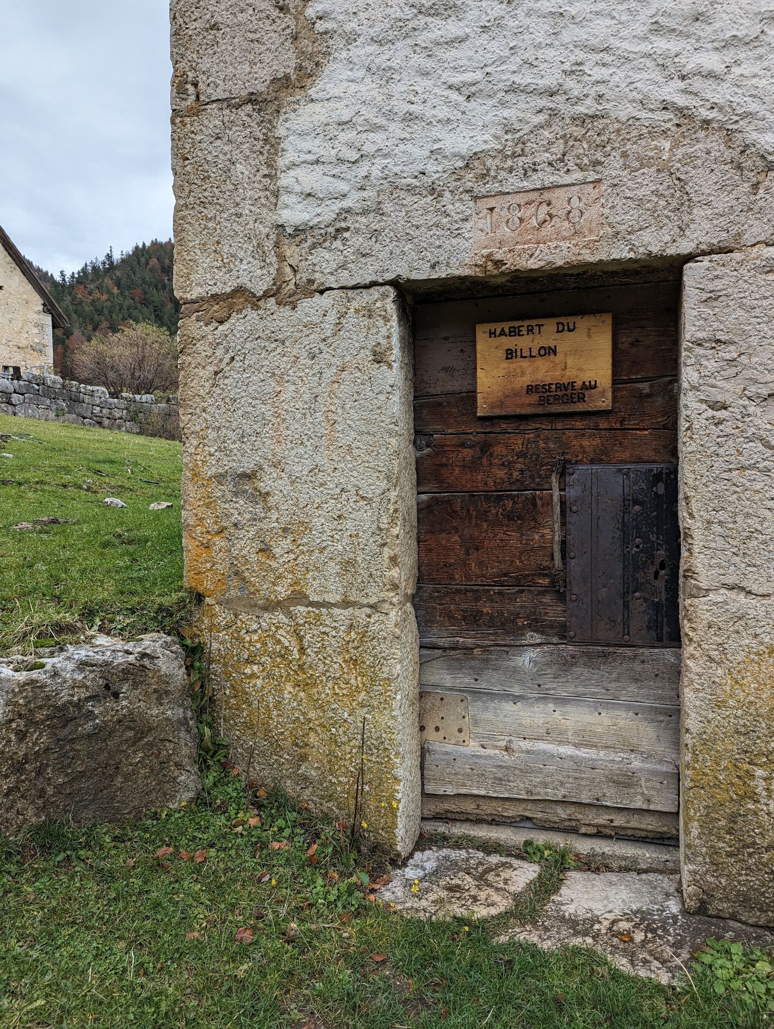
Chapelle Notre-Dame-du-Rosaire
(1.002 m)
Andachtsstätte
44,7 km
Mollard-Bellet
(931 m)
Siedlung
47,7 km
Le Croz
(1.099 m)
Siedlung
63,4 km
Église Saint-Pierre
(509 m)
Andachtsstätte
74,9 km
Wegverlauf
Faubourg Reclus - Église Notre-Dame-d'Épernay - Chapelle Notre-Dame-du-Rosaire - Basilique du Sacré-Cœur
Mountainbike
87,31
km
Faubourg Reclus
(289 m)
Stadtviertel
0,0 km
Église de Jésus-Christ des saints des derniers jours
(270 m)
Andachtsstätte
0,2 km
La Gare
(270 m)
Stadtviertel
0,3 km
Bon Pasteur
(267 m)
Stadtviertel
0,6 km
Les Syndicats
(266 m)
Stadtviertel
0,9 km
Covet
(267 m)
Stadtviertel
1,0 km
La Grenette
(269 m)
Stadtviertel
1,1 km
Chambéry
(271 m)
Stadt
1,2 km
Faubourg Maché
(281 m)
Stadtviertel
1,4 km
Église Saint-Pierre de Maché
(280 m)
Andachtsstätte
1,4 km
Le Chaney
(283 m)
Stadtviertel
2,2 km
La Souris
(305 m)
Stadtviertel
3,0 km
Les Carrés des Clarines
(316 m)
Stadtviertel
3,4 km
Villeneuve
(372 m)
Stadtviertel
3,9 km
Les Alberges
(390 m)
Siedlung
4,8 km
La Thiolière
(353 m)
Stadtviertel
6,0 km
La Thuilière
(349 m)
Siedlung
6,1 km
Roche Fougère Dessous
(392 m)
Siedlung
6,3 km
La Vieille Thiolière
(403 m)
Stadtviertel
6,4 km
Roche Fougère
(446 m)
Siedlung
7,0 km
La Combe
(624 m)
Siedlung
9,3 km
La Réduire
(973 m)
Siedlung
24,3 km
Les Martenons
(938 m)
Siedlung
25,0 km
Plan Martin
(888 m)
Siedlung
26,1 km
Epernay
(842 m)
Siedlung
27,1 km
Auberge des Entremonts
(838 m)
Restaurant
27,1 km
Entremont-le-Vieux
(838 m)
Dorf
27,2 km
Les Perrets
(827 m)
Siedlung
27,7 km
Derbetemps
(826 m)
Siedlung
28,2 km
Les Courriers
(765 m)
Siedlung
30,4 km
La Fracette
(709 m)
Siedlung
31,5 km
Saint-Pierre-d'Entremont (Savoie)
(640 m)
Dorf
32,9 km
Pré du Comte
(670 m)
Stadtviertel
32,9 km
Église Saint-Alexis
(641 m)
Andachtsstätte
32,9 km
Saint-Pierre-d'Entremont (Isère)
(642 m)
Dorf
33,2 km
Préversin
(743 m)
Siedlung
34,5 km
Les Bas
(846 m)
Siedlung
35,1 km
Le Villard
(887 m)
Siedlung
36,0 km
Les Reys
(944 m)
Siedlung
37,1 km
Saint-Philibert
(919 m)
Siedlung
38,2 km
La Charelle
(961 m)
Flur/Gelände
38,7 km
Le Planolet
(1.087 m)
Siedlung
40,0 km
La Piche
(1.145 m)
Siedlung
40,4 km
Champ Massot
(1.102 m)
Siedlung
41,1 km
Le Battour
(1.110 m)
Siedlung
43,3 km
Chapelle Notre-Dame-du-Rosaire
(1.002 m)
Andachtsstätte
44,7 km
Saint-Pierre-de-Chartreuse
(882 m)
Dorf
45,3 km
Les Antonins
(941 m)
Siedlung
47,3 km
Mollard-Bellet
(931 m)
Siedlung
47,7 km
Gontière
(911 m)
Siedlung
48,3 km
Mollarière
(889 m)
Siedlung
49,2 km
Majeure
(905 m)
Siedlung
49,7 km
Marchandière
(886 m)
Siedlung
50,2 km
Saint-Hugues-de-Chartreuse
(884 m)
Siedlung
50,7 km
Les Michallets
(877 m)
Siedlung
51,9 km
Cherlieu
(947 m)
Siedlung
52,4 km
Crêt de la Scia
(968 m)
Flur/Gelände
52,8 km
Hôtel
(1.310 m)
Gondelstation
57,5 km
Le Cartusia
(1.315 m)
Restaurant
57,9 km
Les 3 Sommets
(1.327 m)
Restaurant
60,8 km
Le Croz
(1.099 m)
Siedlung
63,4 km
Sarcenas
(1.087 m)
Dorf
64,1 km
Le Crêt
(1.074 m)
Stadtviertel
64,4 km
Guilletière
(1.086 m)
Flur/Gelände
64,6 km
Gervais
(1.138 m)
Flur/Gelände
65,1 km
Les Guillets
(1.094 m)
Siedlung
65,6 km
La Guille
(1.062 m)
Siedlung
66,3 km
La Méarie
(709 m)
Siedlung
68,2 km
La Sonnarie
(662 m)
Siedlung
69,6 km
La Jars
(630 m)
Siedlung
70,9 km
Quaix-en-Chartreuse
(538 m)
Dorf
71,9 km
Petesset
(559 m)
Siedlung
72,7 km
Le Barbet
(529 m)
Siedlung
73,2 km
Église Saint-Pierre
(509 m)
Andachtsstätte
74,9 km
Proveysieux
(508 m)
Dorf
75,0 km
Le Mollard
(486 m)
Siedlung
75,5 km
Moretière
(446 m)
Siedlung
76,0 km
Rigaudière
(443 m)
Siedlung
76,6 km
Bellevue
(352 m)
Siedlung
77,5 km
Saint-Martin-le-Vinoux
(210 m)
Dorf
82,9 km
Jean Macé
(210 m)
Stadtviertel
85,3 km
Arago
(210 m)
Stadtviertel
86,0 km
Grenoble
(212 m)
Stadt
87,2 km
Noch keine Bewertungen
Beliebte Touren in der Nähe
-
Saint-Pierre-d'Entremont (Isère) - Chapelle Notre-Dame-du-Rosaire - Église Saint-Pierre - Grenoble
mittelMountainbike 52,5 km -
Saint-Pierre-d'Entremont (Isère) - Église Saint-Pierre - Église Saint-Barthélemy - Grenoble
mittelRennrad 43,3 km -
4,0
Saint-Laurent-du-Pont - Crête de la Charmille - Belvédère de None
mittelWanderung 10,2 km -
Saint-Pierre-de-Chartreuse - Pas de la Suiffière - Le Grand Som - Patassière
schwerWanderung 18,6 km -
Entremont-le-Vieux - Mont Granier - Balme à Collomb - La Plagne
schwerWanderung 13,7 km -
Saint-Pierre-de-Chartreuse - Col de Bellefont - Dôme de Bellefont - Le Bourg
schwerWanderung 22,3 km -
Entremont-le-Vieux - Mont Granier - Pas du Pré Ours - La Plagne
schwerWanderung 14,1 km -
Entremont-le-Vieux - Mont Granier - Granier, sommet Sud - La Plagne
schwerWanderung 12,8 km -
Patassière - Bec de la Scia - Chapelle Notre-Dame-du-Rosaire - Essarts
schwerWanderung 11,7 km -
Saint-Pierre-de-Chartreuse - Bec de la Scia - Église Saint-Pierre
mittelWanderung 9,72 km

Wandern & Tracking

Über 550.000 Tourenvorschläge, detailliertes Kartenmaterial und ein intuitiver Routenplaner machen die App zum Must-have für alle Naturbegeisterten.

Verpasse keine Angebote und Inspirationen für deinen nächsten Urlaub
Zum Newsletter anmelden
Fehler
Ein Fehler ist aufgetreten. Bitte versuche es erneut.
Vielen Dank für deine Anmeldung
Deine E-Mail-Adresse wurde in den Verteiler eingetragen.
Touren in ganz Europa
Österreich
Schweiz
Deutschland
Italien
Slowenien
Frankreich
Niederlande
Belgien
Polen
Liechtenstein
Tschechien
Slowakei
Spanien
Kroatien
Bosnien und Herzegowina
Luxemburg
Andorra
Portugal
Island
Vereinigtes Königreich
Irland
Griechenland
Albanien
Nordmazedonien
Malta
Norwegen
Montenegro
Moldau
Kosovo
Ungarn
San Marino
Rumänien
Estland
Lettland
Belarus
Zypern
Litauen
Serbien
Bulgarien
Monaco
Dänemark
Schweden
Finnland