Stage 19 GTMC MTB: Saint-Alyre-ès-Montagne / Chalinargues

Mountainbike

Tourdaten
39,94km
954
- 1.456m
674hm
732hm
04:15h

- Kurzbeschreibung
-
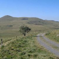
Leaving Jassy, the GTMC leads you up to the Col du Mont Chamaroux pass, then this pastoral track takes you to the summit of a plateau perched at 1,450m above sea level. From on high, admire the vast views of the Sancy Range and the volcanic French county of Cantal.
- Schwierigkeit
-
schwer
- Bewertung
-
- Wegverlauf
-
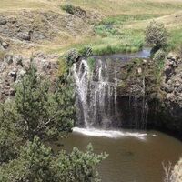
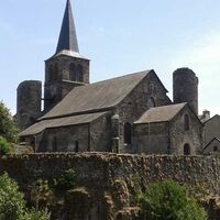
JassyEspirette0,7 kmBoutaresse2,2 kmPradiers16,0 kmÉglise Saint-Jean-Baptiste16,0 kmRomaniargues19,3 kmCascade des Veyrines21,4 kmLe Bac25,0 kmÉglise Saint-Jean-Baptiste26,4 kmAllanche26,5 kmNuis33,1 kmNuits33,1 kmChalinargues39,8 km
- Beste Jahreszeit
-
JanFebMärAprMaiJunJulAugSepOktNovDez
- Höchster Punkt
- 1.456 m
- Zielpunkt
-
Chalinargues
- Höhenprofil
-
© outdooractive.com
-

-
AutorDie Tour Stage 19 GTMC MTB: Saint-Alyre-ès-Montagne / Chalinargues wird von outdooractive.com bereitgestellt.
GPS Downloads
Allgemeine Infos
Einkehrmöglichkeit
Kulturell/Historisch
Flora
Aussichtsreich
Weitere Touren in den Regionen


