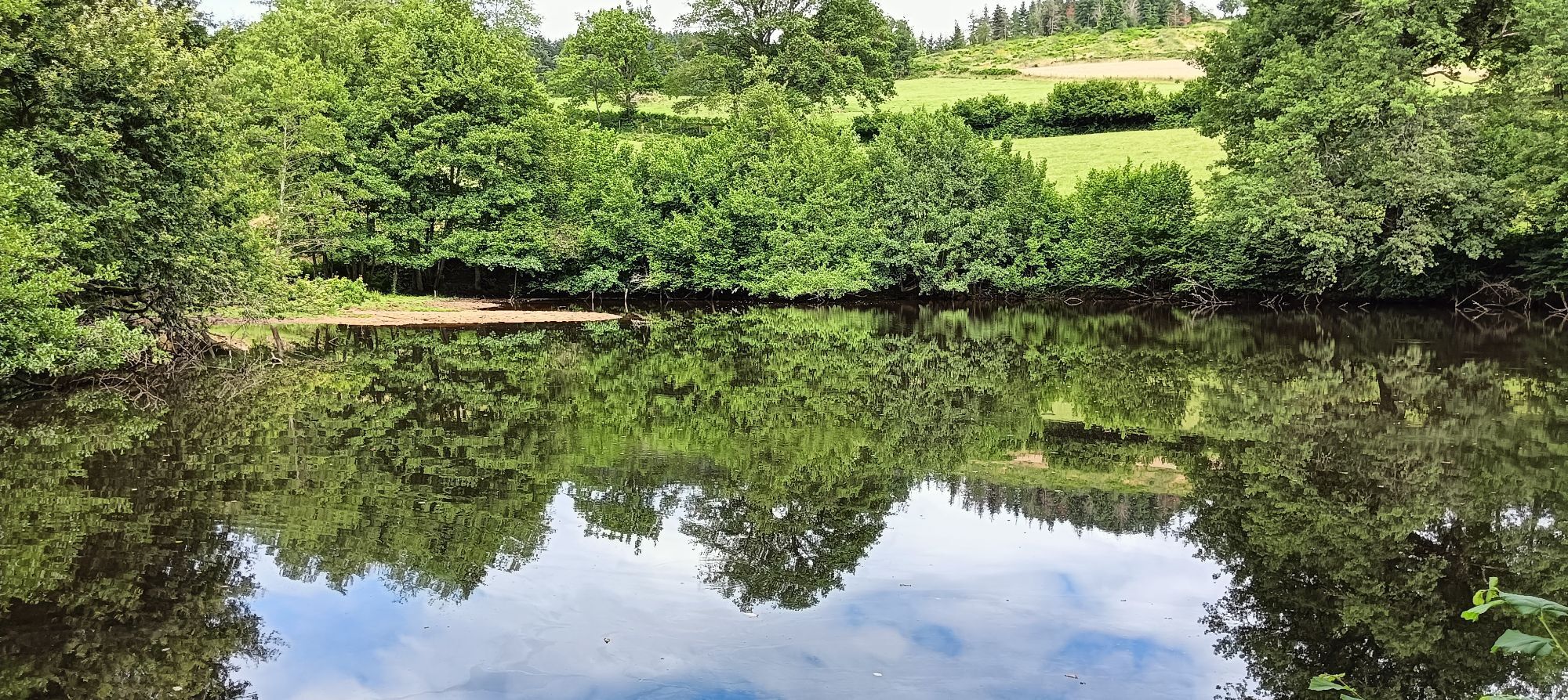
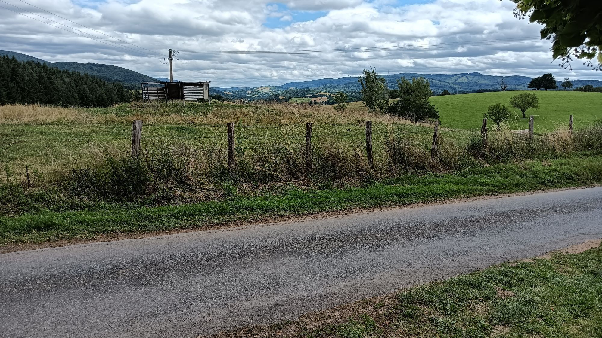
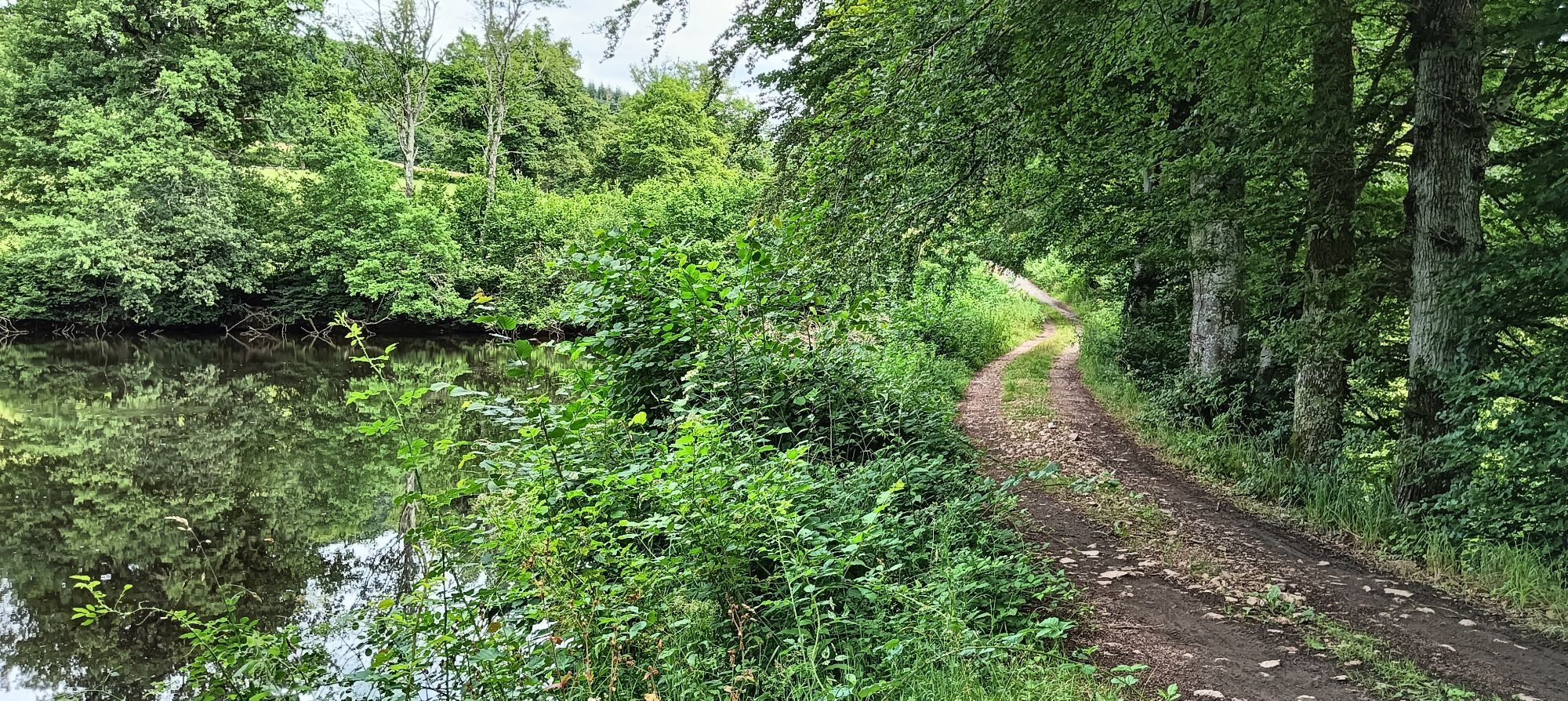
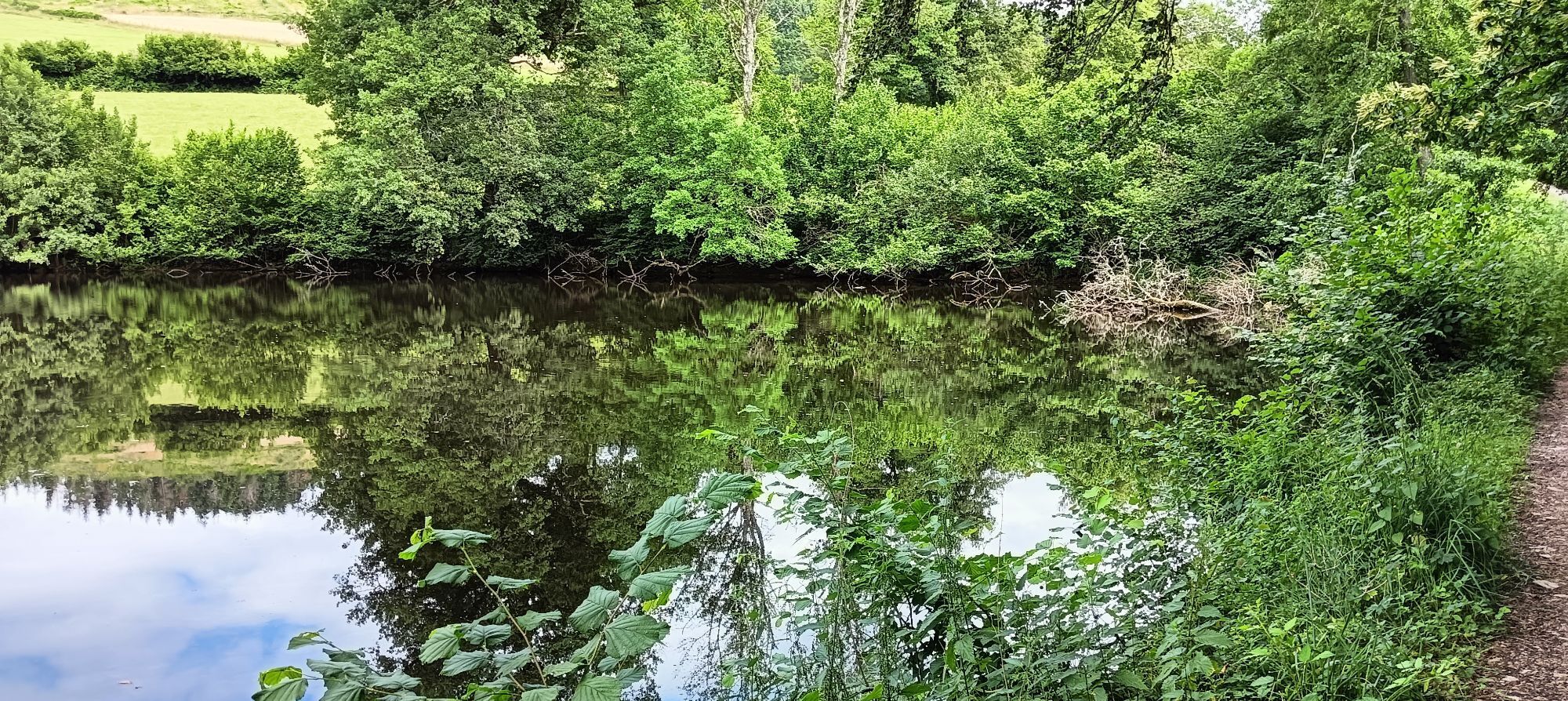
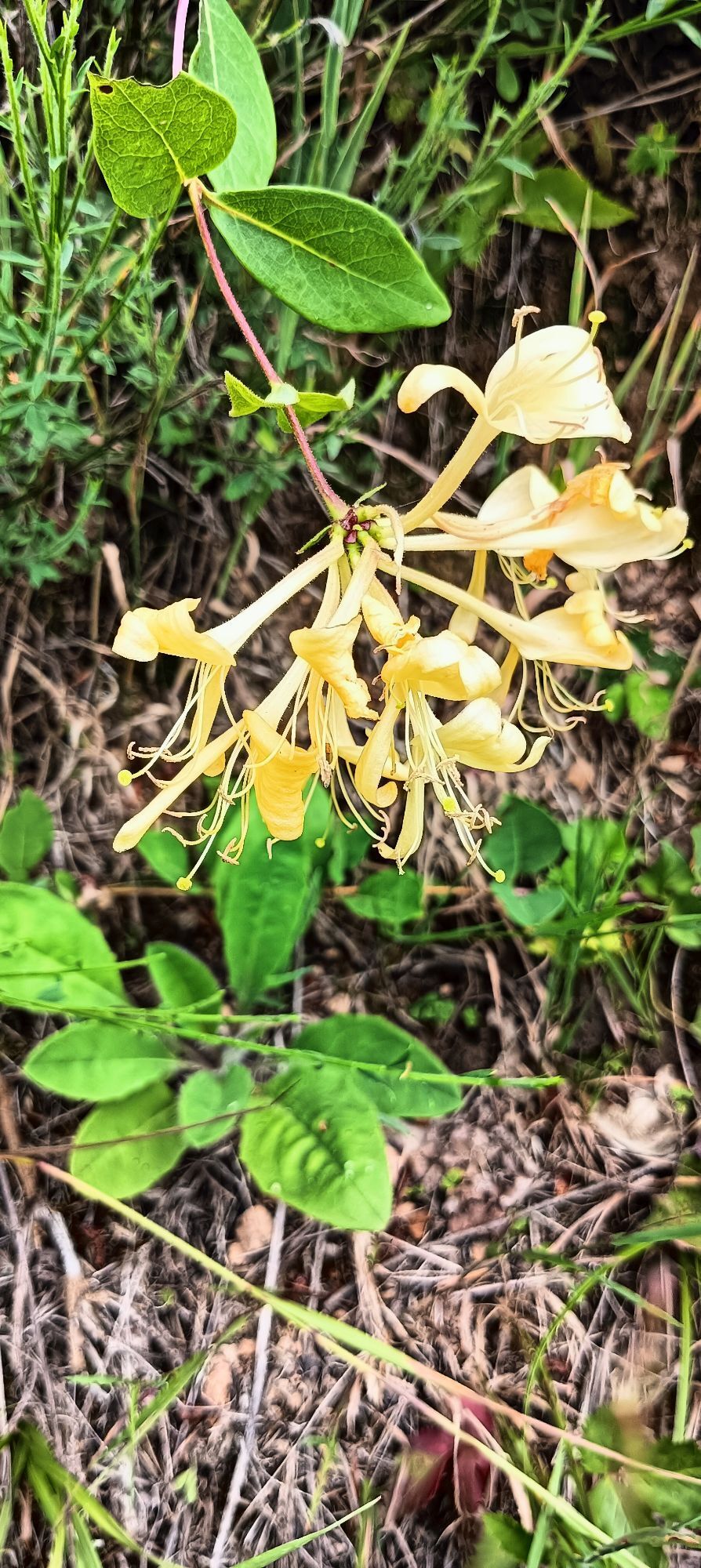
Église Notre-Dame - Châtel-Montagne - Bayon - Ray Gratteau
mittel
Navigieren
Navigieren
Hol diese Tour auf dein Handy
Église Notre-Dame - Châtel-Montagne - Bayon - Ray Gratteau
mittel
Wanderung
14,61
km
QR-Code scannen und Navigation in der bergfex App beginnen

Wandern & Tracking


Église Notre-Dame - Châtel-Montagne - Bayon - Ray Gratteau
mittel
Distanz
14,61
km
Dauer
03:55
h
Aufstieg
469
hm
Seehöhe
430 -
688
m
Track-Download
Église Notre-Dame - Châtel-Montagne - Bayon - Ray Gratteau
mittel
Wanderung
14,61
km


Wegverlauf
Église Notre-Dame
(518 m)
Andachtsstätte
0,0 km
Goutté Pion
(447 m)
Flur/Gelände
0,5 km
Bayon
(644 m)
Siedlung
4,1 km
Ray Gratteau
(677 m)
Gipfel
5,0 km
Le Mas
(514 m)
Siedlung
11,7 km
Puy du Roc
(538 m)
Siedlung
14,2 km
Église Notre-Dame
(518 m)
Andachtsstätte
14,6 km
Wegverlauf
Église Notre-Dame - Châtel-Montagne - Bayon - Ray Gratteau
mittel
Wanderung
14,61
km
Église Notre-Dame
(518 m)
Andachtsstätte
0,0 km
Le 16 arts
(516 m)
Restaurant
0,0 km
Châtel-Montagne
(517 m)
Dorf
0,0 km
Goutté Pion
(447 m)
Flur/Gelände
0,5 km
Vivarot
(456 m)
Flur/Gelände
0,8 km
La Valette
(574 m)
Flur/Gelände
3,1 km
Bayon
(644 m)
Siedlung
4,1 km
La Croix de l'Orme
(648 m)
Siedlung
4,2 km
Étang Pidoux
(646 m)
Flur/Gelände
4,5 km
Ray Gratteau
(677 m)
Gipfel
5,0 km
Brodière
(515 m)
Siedlung
7,9 km
Le Mas
(514 m)
Siedlung
11,7 km
Bassinet
(552 m)
Siedlung
12,7 km
Puy du Roc
(538 m)
Siedlung
14,2 km
Châtel-Montagne
(517 m)
Dorf
14,5 km
Le 16 arts
(516 m)
Restaurant
14,6 km
Église Notre-Dame
(518 m)
Andachtsstätte
14,6 km
Noch keine Bewertungen
Beliebte Touren in der Nähe
-
Le Breuil - Église Saint-Germain - Chapelle Saint-Jacques - Église Saint-Denis
schwerRennrad 85,8 km -
La Verrerie - Église Saint-Nicolas - Église Saint-Denis - Saint-Rirand
schwerRennrad 55,6 km -
Lapalisse - Basilique Notre-Dame - Église Saint-Louis - Église Saint-Jean-Baptiste
schwerRennrad 92,7 km -
Église Notre-Dame - Le 16 arts - Église Saint-Denis - Église Saint-Jean-Baptiste
mittelGravelbike 49,4 km -
Le Mayet-de-Montagne - Église Saint-Jean-Baptiste - Magnet - Fanière
mittelRadfahren 19,2 km -
Saint-Clément - Coindre - Brodière - Église Saint-Jean-Baptiste
mittelRadfahren 17,6 km -
Châtel-Montagne - Église Saint-Jean-Baptiste - Église Saint-Prix - Puy du Roc
schwerRennrad 64,6 km -
Auberge du Sichon - Église Saint-Jean-Baptiste - Église Saint-Denis - Ferrières-sur-Sichon
mittelRennrad 48,9 km -
La Perrière - Église Saint-Pierre - Église Saint-Désiré - Le Breuil
schwerRennrad 88,7 km -
Église Saint-Louis - Vichy - Église Sainte-Bernadette - Église Saint-Jean-Baptiste
schwerRennrad 91,7 km

Wandern & Tracking

Über 550.000 Tourenvorschläge, detailliertes Kartenmaterial und ein intuitiver Routenplaner machen die App zum Must-have für alle Naturbegeisterten.

Verpasse keine Angebote und Inspirationen für deinen nächsten Urlaub
Zum Newsletter anmelden
Fehler
Ein Fehler ist aufgetreten. Bitte versuche es erneut.
Vielen Dank für deine Anmeldung
Deine E-Mail-Adresse wurde in den Verteiler eingetragen.
Touren in ganz Europa
Österreich
Schweiz
Deutschland
Italien
Slowenien
Frankreich
Niederlande
Belgien
Polen
Liechtenstein
Tschechien
Slowakei
Spanien
Kroatien
Bosnien und Herzegowina
Luxemburg
Andorra
Portugal
Island
Vereinigtes Königreich
Irland
Griechenland
Albanien
Nordmazedonien
Malta
Norwegen
Montenegro
Moldau
Kosovo
Ungarn
San Marino
Rumänien
Estland
Lettland
Belarus
Zypern
Litauen
Serbien
Bulgarien
Monaco
Dänemark
Schweden
Finnland