© Terra Dinarica - planinarenje .ba

© Terra Dinarica - planinarenje .ba

© Terra Dinarica - planinarenje .ba

© Terra Dinarica - planinarenje .ba

© Terra Dinarica - planinarenje .ba

- Kurzbeschreibung
-
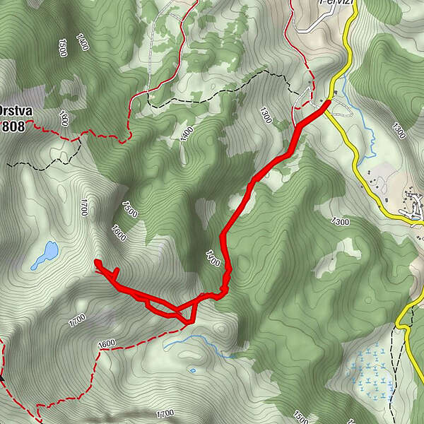
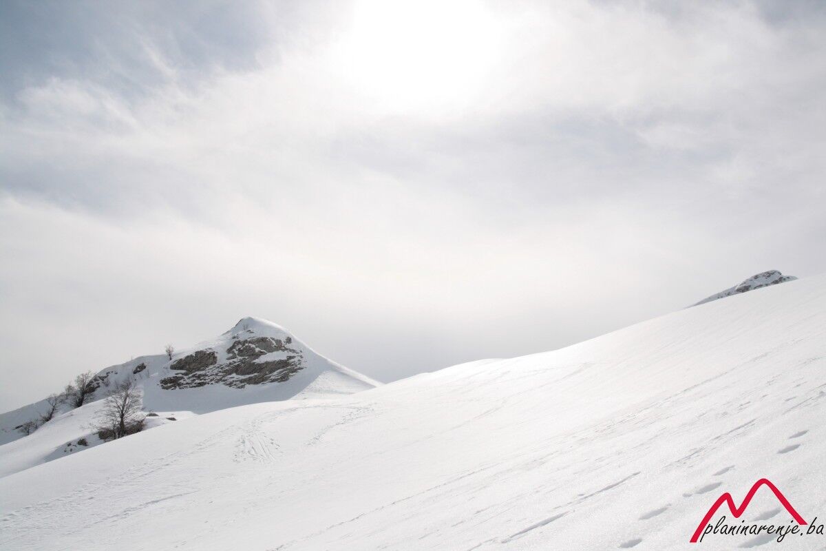
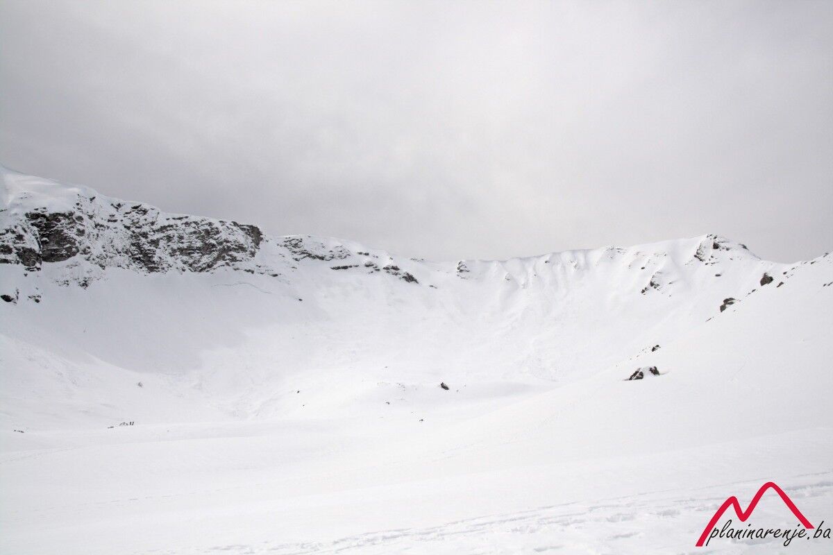
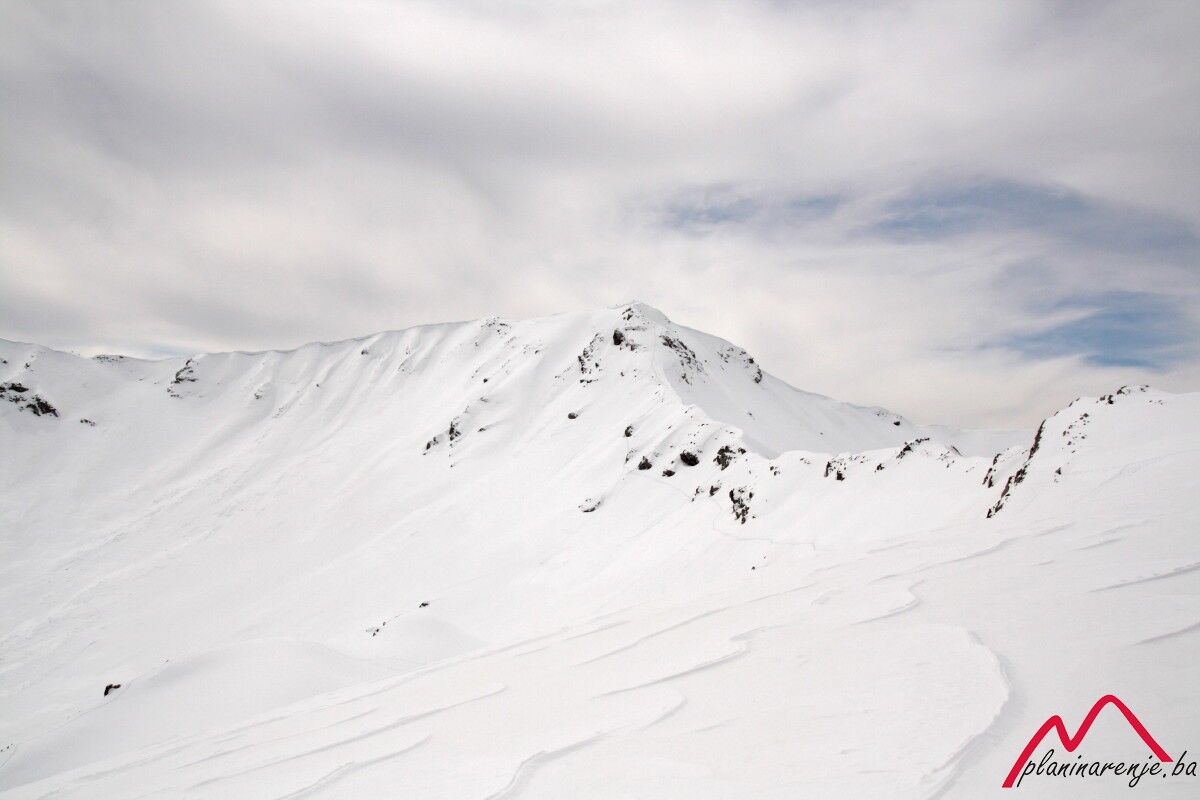
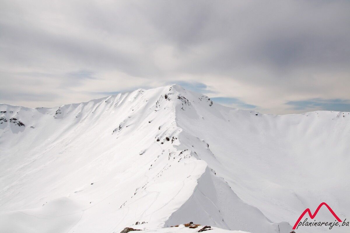
This is a very nice walk offering a great view of the Vito-Drstva ridge, as well as the mountains Treskavica and Bjelašnica.
- Wegverlauf
-
TušilaRestoran Visočica0,0 kmSubar (1.820 m)2,8 kmRestoran Visočica5,4 kmTušila5,4 km
- Höchster Punkt
- 1.780 m
- Zielpunkt
-
Subar peak
- Höhenprofil
-
 © outdooractive.com

-

-
AutorDie Tour Subar wird von outdooractive.com bereitgestellt.