Tourdaten
19,43km
1.483
- 2.051m
758hm
805hm
06:27h
- Kurzbeschreibung
-
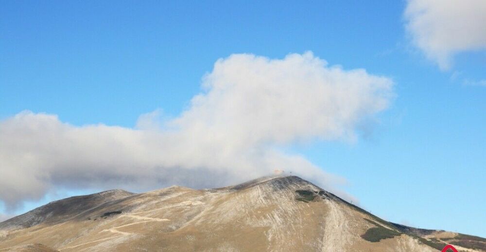
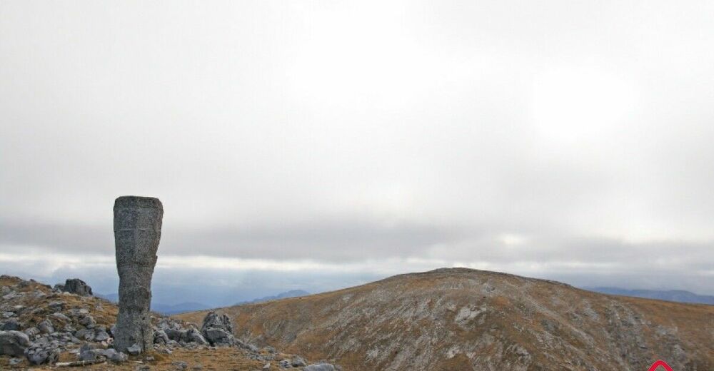
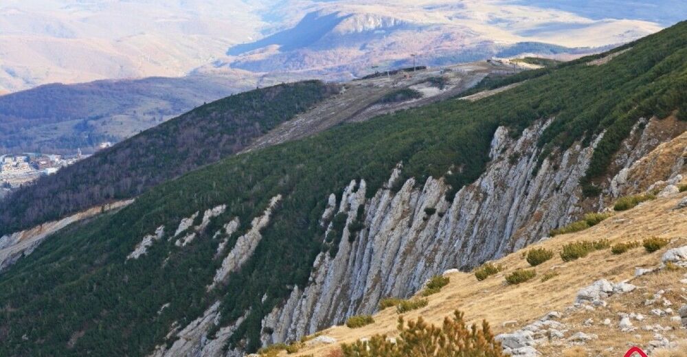
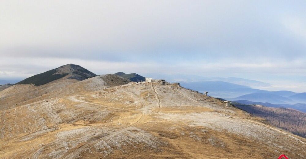
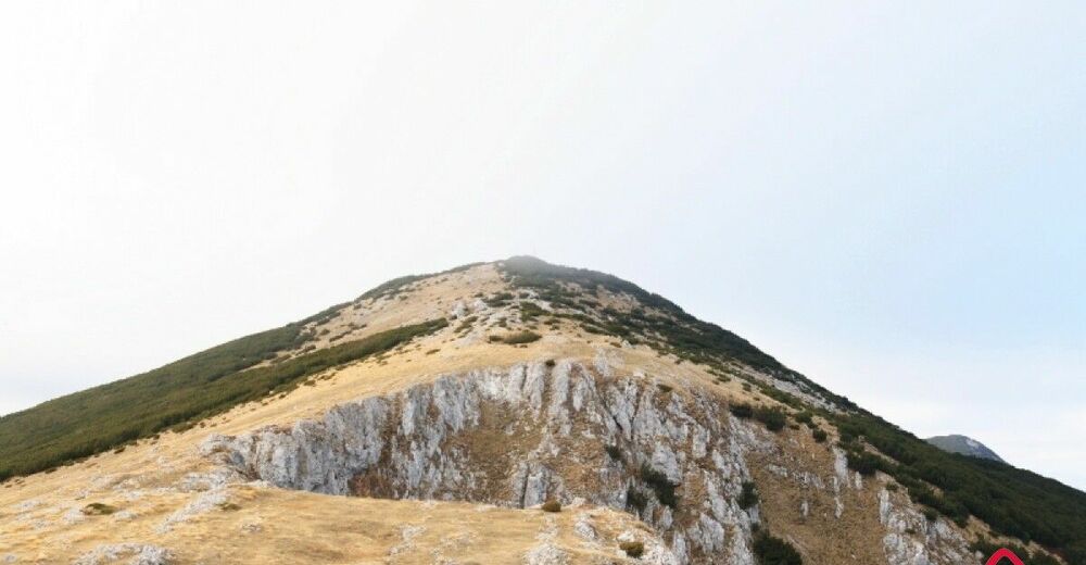
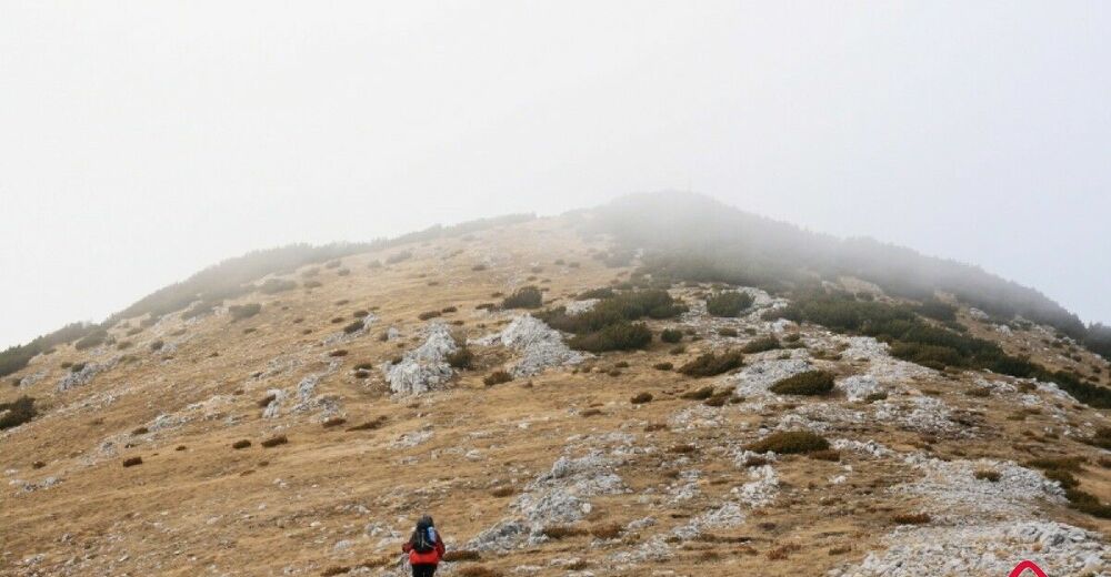
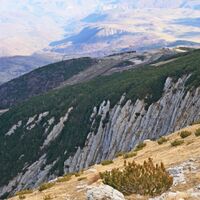
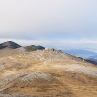
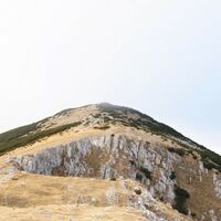
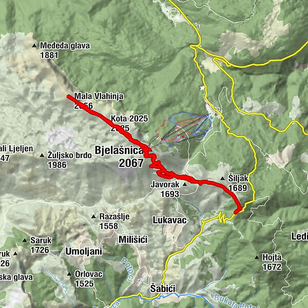
It's a beautiful walk which includes visiting the highest summit of Mt Bjelašnica. The road to the Observatory is the most strenuous part of the walk, as the rest of the route, the walk to Mala Vlahinja, is almost flat. Unfortunately, this area is almost always very windy.
- Wegverlauf
-
Bjelašnica (2.067 m)6,9 kmKota (2.056 m)7,5 kmKota 2025 (2.025 m)8,9 kmMala Vlahinja (2.056 m)10,5 kmKota 2025 (2.025 m)11,9 kmKota (2.056 m)13,3 km
- Höchster Punkt
- 2.051 m
- Zielpunkt
-
Mala Vlahinja
- Höhenprofil
-
© outdooractive.com
-

-
AutorDie Tour Bijele vode - Mala Vlahinja wird von outdooractive.com bereitgestellt.

