© Terra Dinarica - Olja Latinović

© Terra Dinarica - Olja Latinovic

© Terra Dinarica - Olja Latinovic

© Terra Dinarica - Olja Latinovic

© Terra Dinarica - Olja Latinović

- Kurzbeschreibung
-
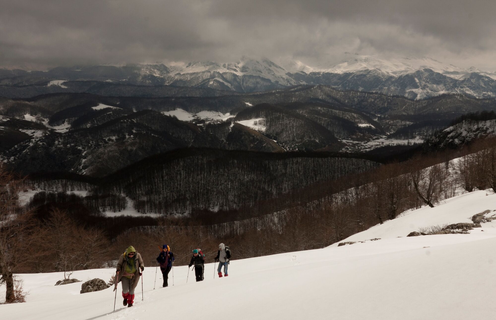
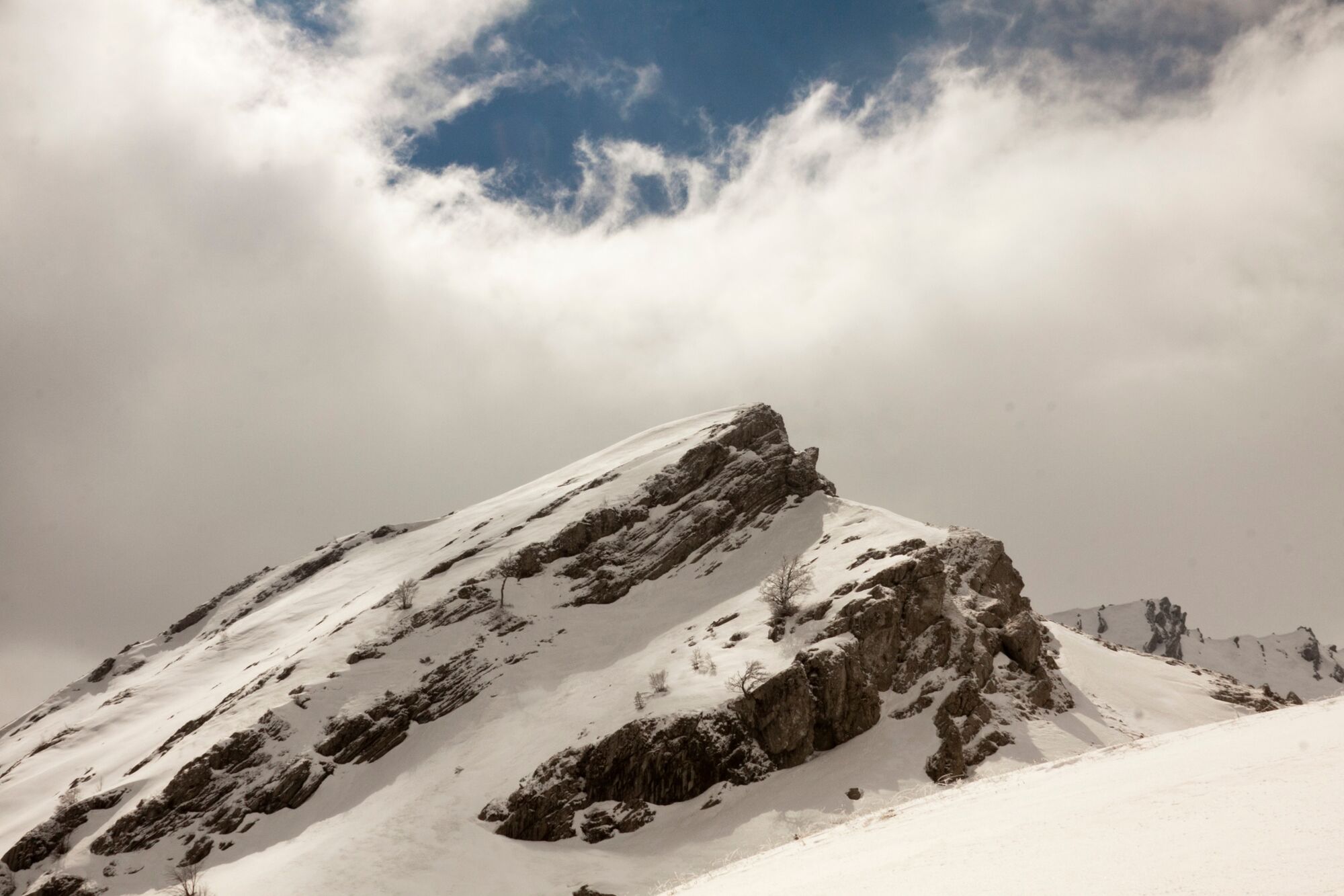
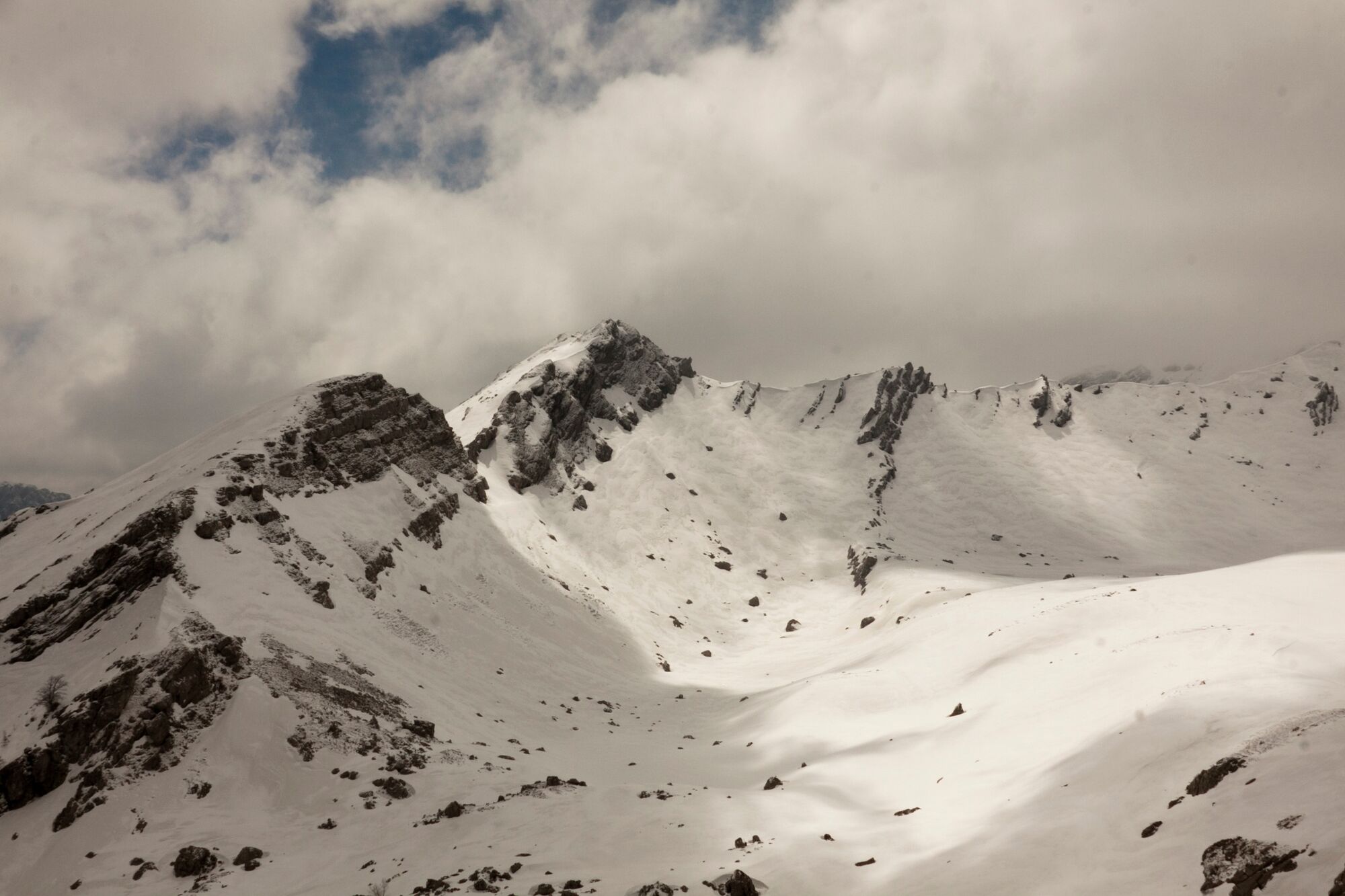
Very nice walk, offering a view of one of the most beautiful ridges in Bosnia and Herzegovina (Vito-Drstva ridge), as well as the mountains Treskavica and Bjelašnica, and the canyon of the Rakitnica.
- Schwierigkeit
-
mittel
- Bewertung
-
- Wegverlauf
-
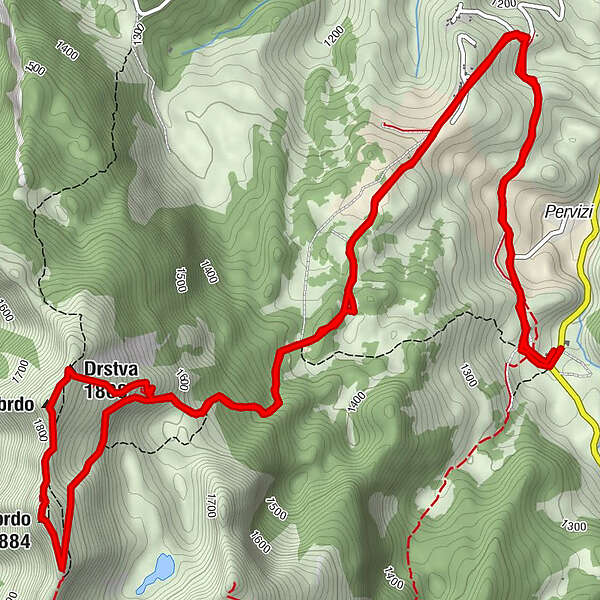
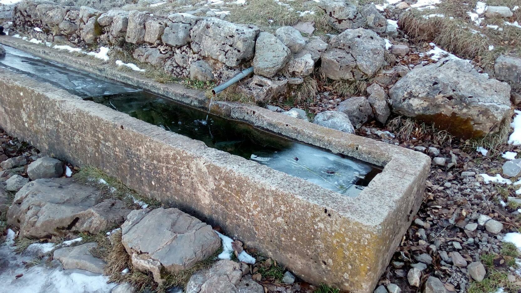
TušilaRestoran Visočica0,1 kmOčkovica spring4,5 kmDrstva (1.808 m)5,4 kmMalo brdo5,7 kmVeliko brdo (1.884 m)6,2 kmTušila12,2 kmRestoran Visočica12,2 km
- Beste Jahreszeit
-
AugSepOktNovDezJanFebMärAprMaiJunJul
- Höchster Punkt
- 1.855 m
- Zielpunkt
-
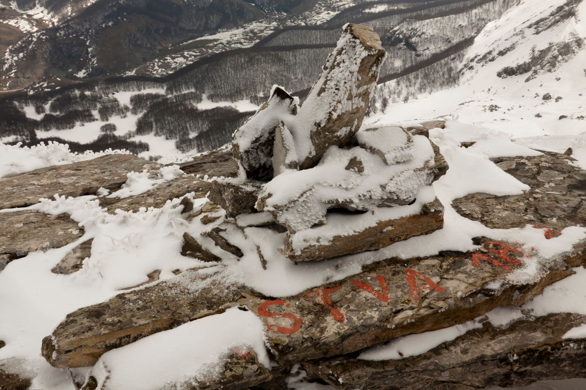
Drstva peak
- Höhenprofil
-
 © outdooractive.com
-

-
AutorDie Tour Drstva wird von outdooractive.com bereitgestellt.