
© EVAdinarica Project - EVA dinarica


- Kurzbeschreibung
- Wegverlauf
-
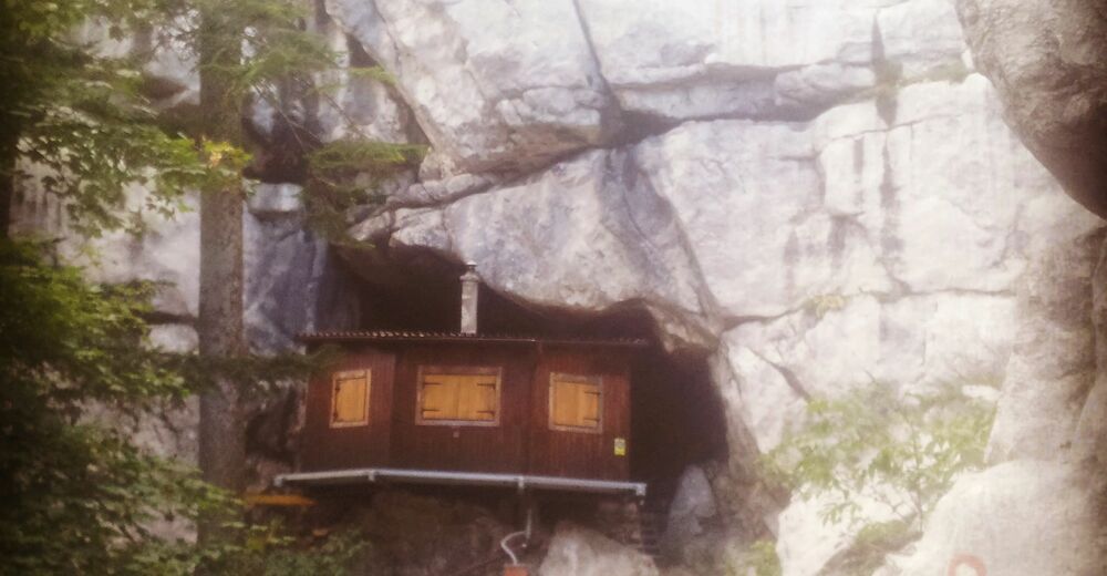
Ratkovo sklonište (1.200 m)0,5 kmMlečikov lug3,5 kmDom Bijele Stijene16,1 kmTuk Vojni16,3 kmTuk Mrkopaljski17,1 kmMercopaglio19,4 kmSungari22,2 kmLučice29,6 kmDelnice32,5 km
- Höchster Punkt
- 1.279 m
- Höhenprofil
-
 © outdooractive.com

-

-
AutorDie Tour Ratkovo - Delnice (Via Dinarica day 67) wird von outdooractive.com bereitgestellt.
GPS Downloads


Weitere Touren in den Regionen
-
Gorski kotar
28
-
Mrkopalj
7