

- Bewertung
-
- Ausgangspunkt
-
Hochtor
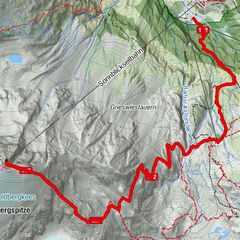
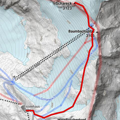
- Wegverlauf
-
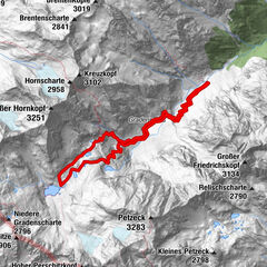
Hochtor (2.504 m)0,0 kmHochtor (2.576 m)0,3 kmTauernkopf (2.627 m)0,6 kmSchareck (2.606 m)3,1 kmPanoramarestaurant Schareck3,6 kmSeppenalm5,2 kmKasereck (1.914 m)8,2 kmSankt Anna Kapelle8,3 kmHeiligenblut11,3 kmHof11,3 kmRupertihaus11,4 kmHadergasse11,4 km
- Beschreibung
-
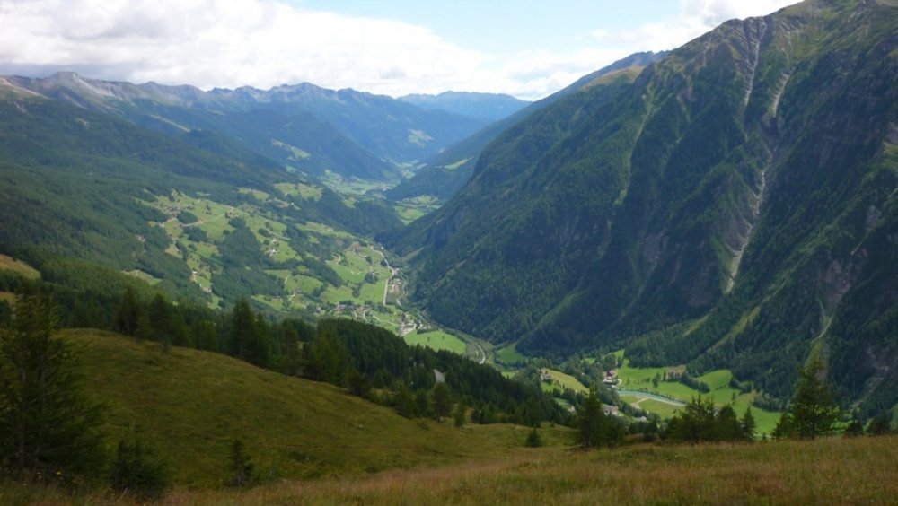
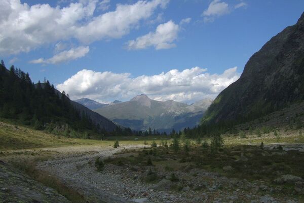
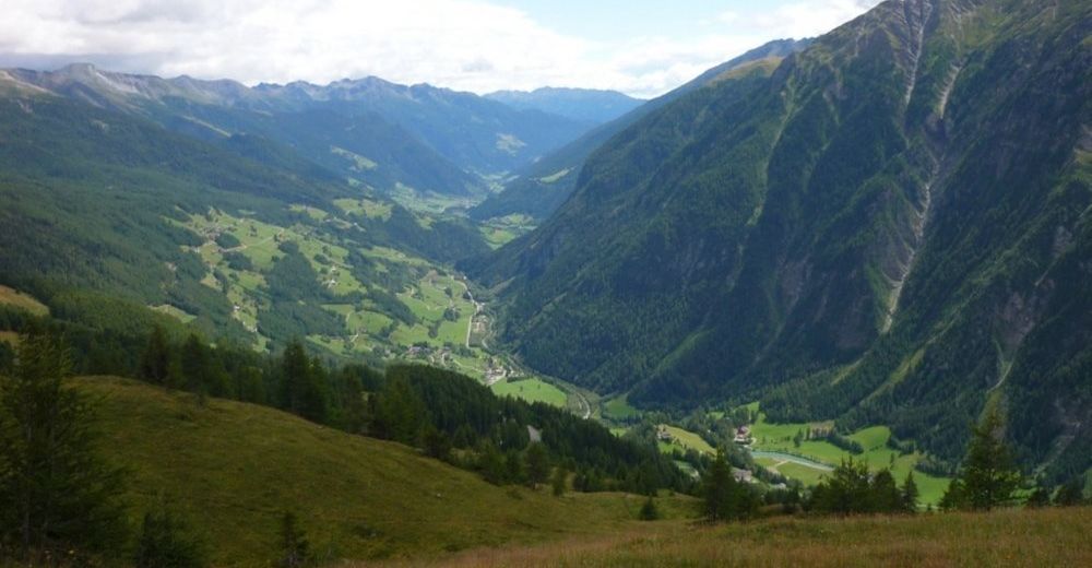
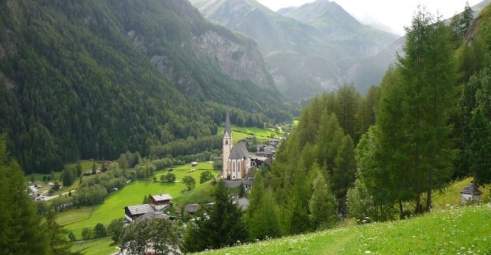
A full day of walking with amazing views of the mountain ranges around Heiligenblut, and of course the Grossglockner.
Highest point: 2625 m (Tauernkopf), 2610 m (Schareck)
Lowest point: 1304 mTotal ascent: 223 m
Total descent: 1423 mPlaces where you can eat and drink:
Hochtor
Schareck cable car mountain station (when the cable car is in operation: Sunday-Thursday)
KasereckRoute:
1. park you car in Heiligenblut, take the bus to Hochtor, it leaves at 9:00 AM)
2. at Hochtor, cross the street (careful!!) then walk up, follow the signs towards Tauernkopf/Schareck
3. walk on the Geo Trail to Schareck
4. at the Schareck cable car mountain station, find the signs that point towards Heiligenblut, start walking down
5. follow signs towards Heiligenblut/Kasereck
6. when you reach the paved road (Hochalpenstrasse), you will find Kasereck Restaurant
7. follow signs towards HeiligenblutVideos:
Hochtor: www.youtube.com/watch?v=rH7-0G_11C4
Schareck: www.youtube.com/watch?v=-HPpyEyV-hABecause of the 1423 m descent, walking sticks are highly recommended to keep your knees in good condition!!!
- Höchster Punkt
- 2.625 m
- Rast/Einkehr
-
Hochtor, Schareck cable car mountain station, Kasereck
- Anreise
-
Heiligenblut - Hochtor: PostBus