Tourdaten
8,88km
426
- 720m
314hm
311hm
02:40h

- Kurzbeschreibung
-
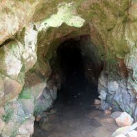
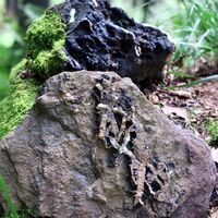
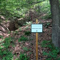
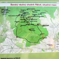
For centuries, copper, iron, gold, silver and mercury ores have been mined in Rožňava. The nature trail was designed to show tourists as many mining works and traces of mining activity as possible. The trail is one-way (for now), leads along the southern side of Rákoš Hill (800 m) and is a complete circuit with a length of about 10 km with five information panels. The most important mining works are equipped with boards stating the name of the work.
- Schwierigkeit
-
leicht
- Bewertung
-
- Wegverlauf
-
Rosenau (385 m)1,0 kmGombáš8,1 kmRosenau (385 m)8,8 km
- Beste Jahreszeit
-
JanFebMärAprMaiJunJulAugSepOktNovDez
- Höchster Punkt
- 720 m
- Zielpunkt
-
Podrákoš
- Höhenprofil
-
© outdooractive.com
- Autor
-
Die Tour The Rákoš Mining Nature Trail wird von outdooractive.com bereitgestellt.
GPS Downloads
Allgemeine Infos
Kulturell/Historisch
Aussichtsreich


