
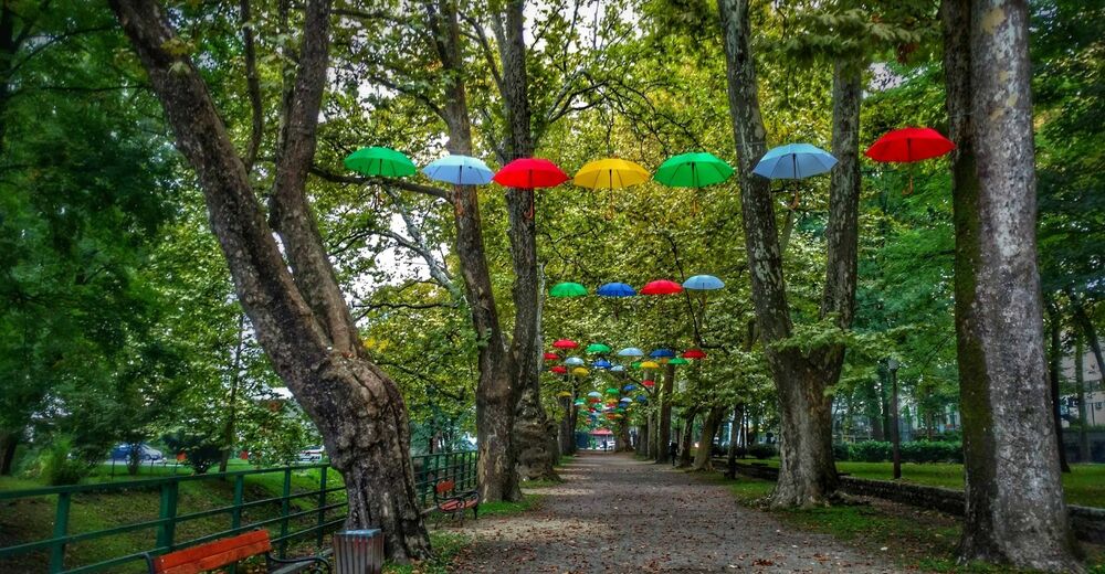
© EVAdinarica Project - EVA dinarica
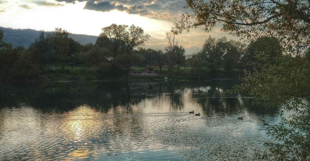
© EVAdinarica Project - EVA dinarica
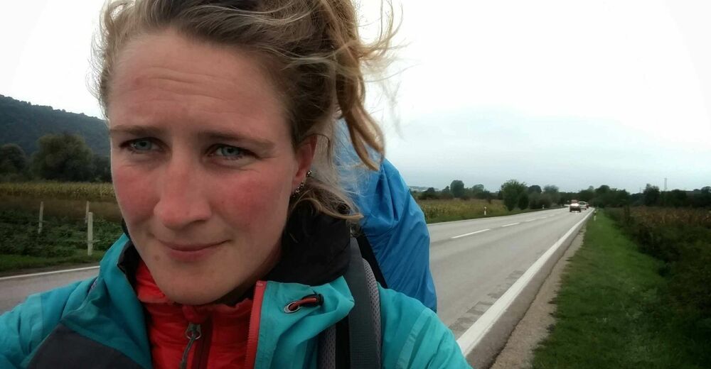
© EVAdinarica Project - EVA dinarica
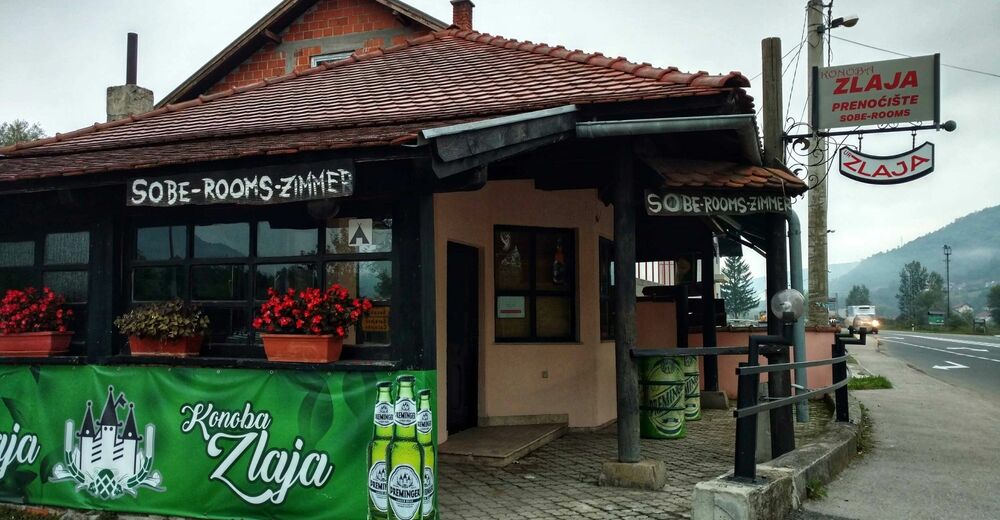
© EVAdinarica Project - EVA dinarica

- Kurzbeschreibung
- Schwierigkeit
-
leicht
- Bewertung
-
- Wegverlauf
-
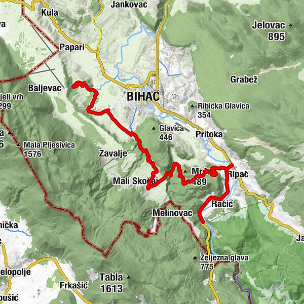
Pecikovići2,3 kmVedro Polje5,9 kmŽegar8,9 kmBihać (222 m)9,2 kmVeliki Skočaj14,8 kmLohovska Brda31,2 kmNeron32,2 kmGornje Lohovo32,9 km
- Beste Jahreszeit
-
JanFebMärAprMaiJunJulAugSepOktNovDez
- Höchster Punkt
- 458 m
- Höhenprofil
-
 © outdooractive.com


-

-
AutorDie Tour Bihać - Ripač (Via Dinarica day 99) wird von outdooractive.com bereitgestellt.
GPS Downloads


Allgemeine Infos
Einkehrmöglichkeit
Kulturell/Historisch
Aussichtsreich