
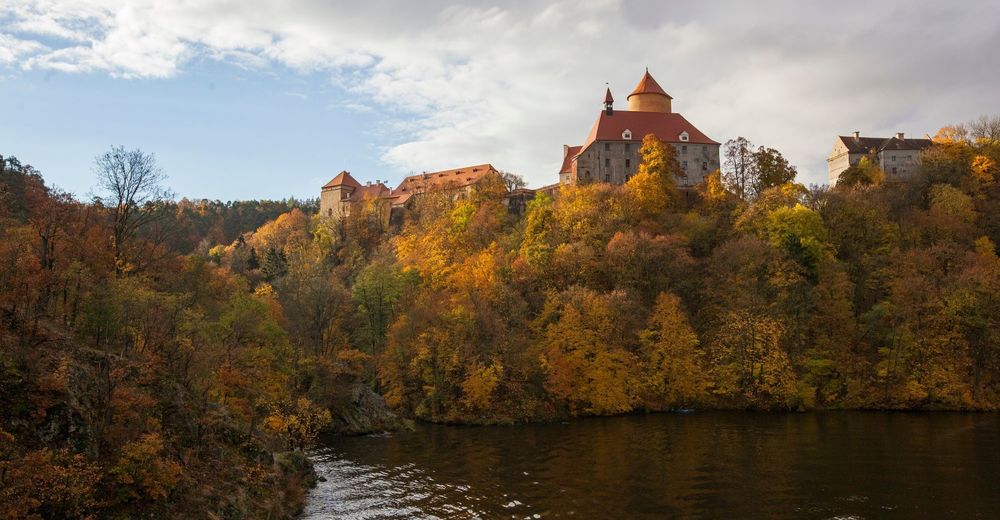
© Tourismuszentrale Südmähren - Tomáš Hájek
© Tourismuszentrale Südmähren - Tomáš Hájek
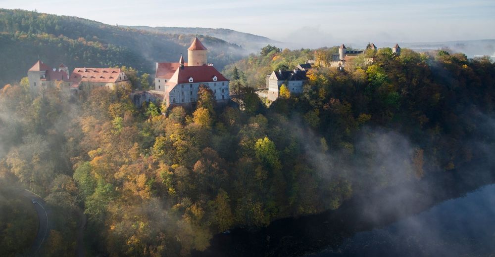
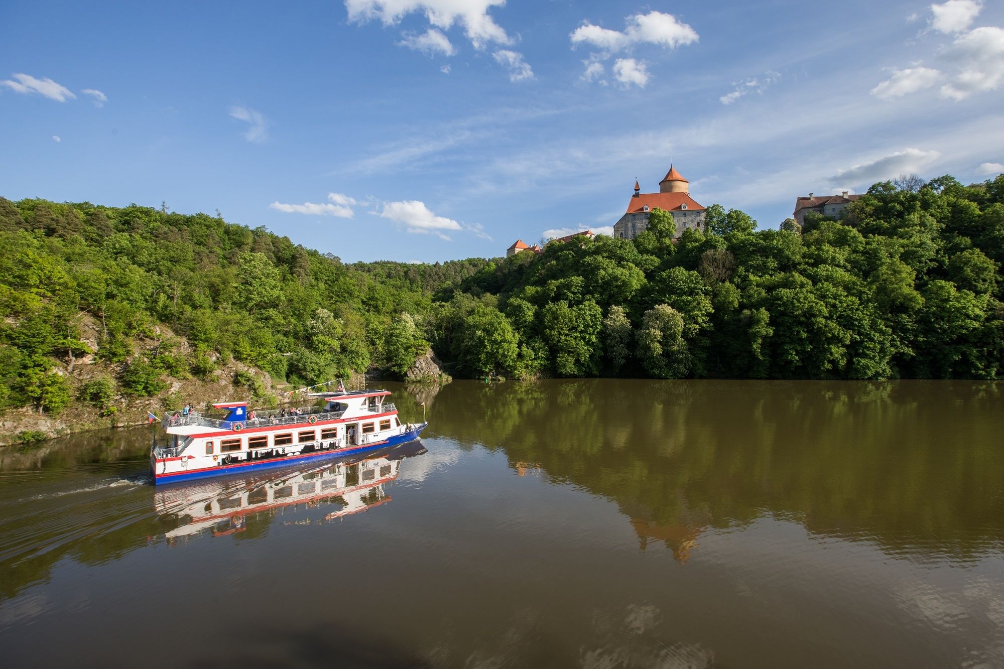
© Tourismuszentrale Südmähren - Ondřej Driml

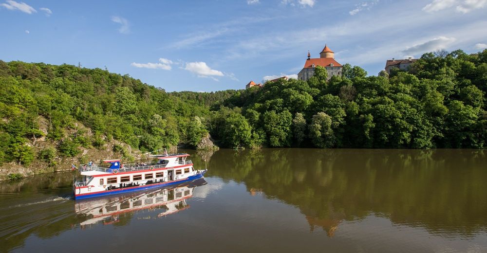
© Tourismuszentrale Südmähren - Igor Zehl
- Schwierigkeit
-
mittel
- Bewertung
-
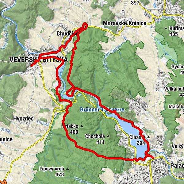
- Wegverlauf
-
Sokolské koupaliště2,5 kmPod Trnůvkou5,5 kmChudčice13,8 kmRestaurace U Pavlíčků14,7 kmEichhorn Bittischka16,5 kmRestaurace Na Městečku17,6 kmStará prádelna23,3 kmRíšova studánka25,8 kmKočičí žleb27,2 km
- Beste Jahreszeit
-
JanFebMärAprMaiJunJulAugSepOktNovDez
- Höchster Punkt
- 401 m
- Höhenprofil
-
 © outdooractive.com


- Autor
-
Die Tour A circular route around the dam in Brno wird von outdooractive.com bereitgestellt.
GPS Downloads


Allgemeine Infos
Einkehrmöglichkeit
Kulturell/Historisch
Aussichtsreich
Weitere Touren in den Regionen