


- Kurzbeschreibung
-
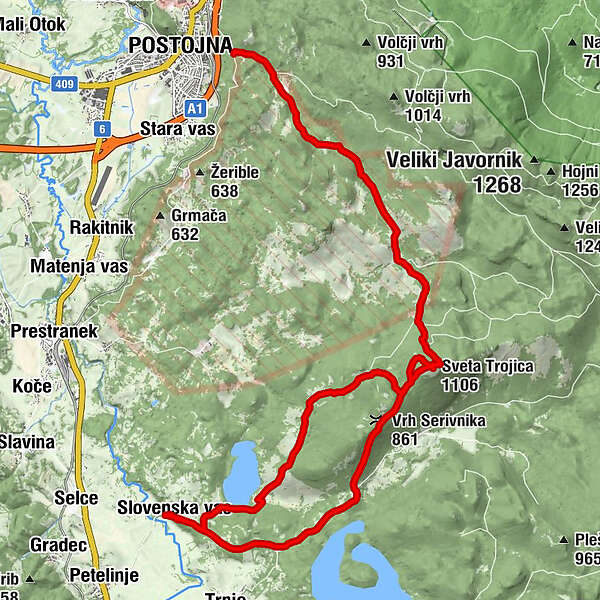
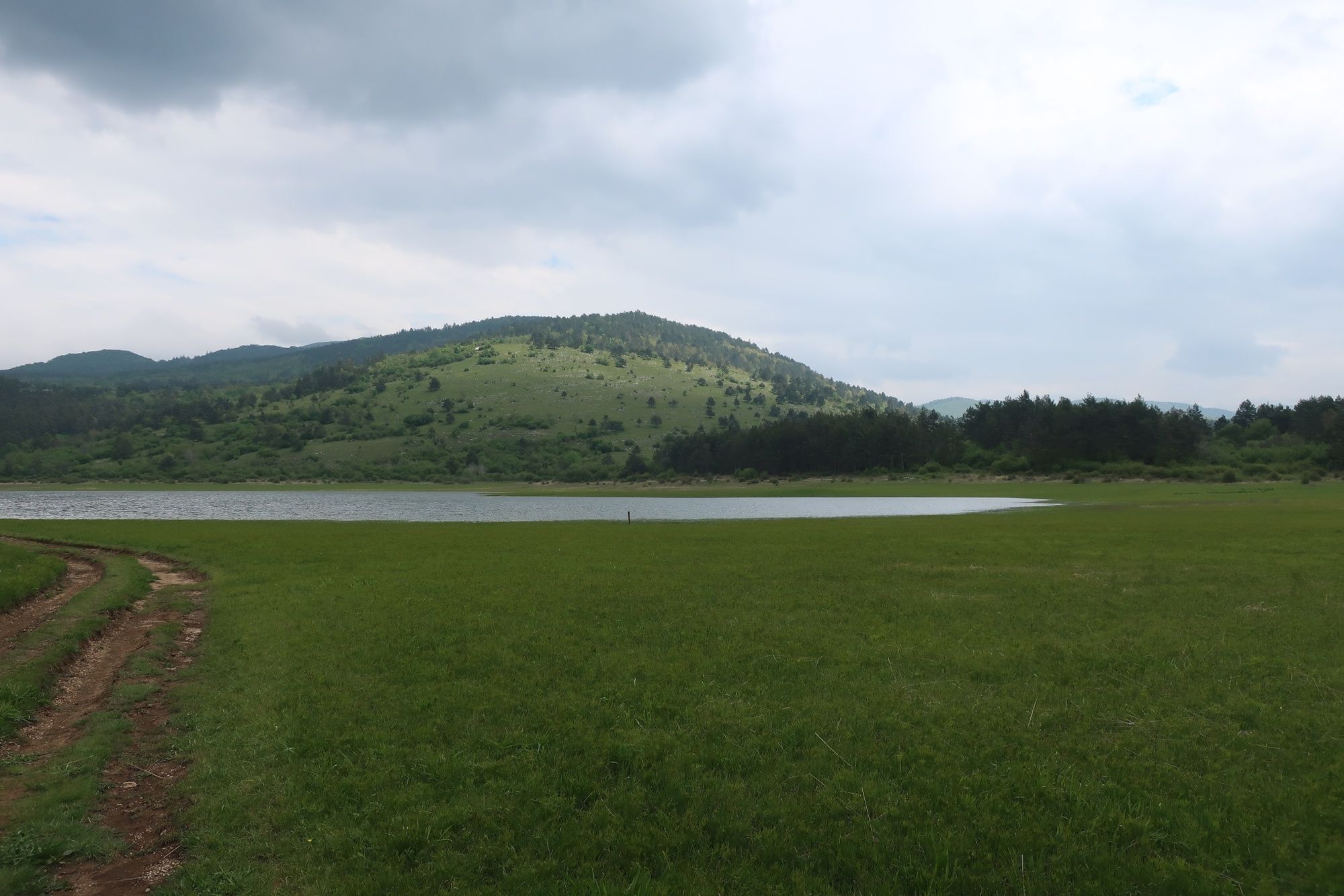
The Sv. Trojica (Holy Trinity) Hill with its 1123 m proudly towers over the Pivka Basin. Hiking to the top is worth the effort as you are treated to a beautiful view across the entire Pivka Basin and the nearby peaks of Snežnik, Nanos, Vremščica and Planinska gora. On a clear day, it is possible to see all the way to the Adriatic Sea. You can access the hill from many different directions, but the most popular starting points are the villages of Petelinje and Trnje, which take you past the Seasonal Lakes of Pivka. The hike itself is not strenuous, it is well marked and takes you through the shade of the pine and beech forest almost all the way to the top. The top of the hill features the Pilgrimage Church of the Holy Trinity, which was already mentioned by Valvasor in the 17th century. The church burned down sometime between 1786 and 1811 and has been restored in 2009.
- Wegverlauf
-
Sveta Trojica0,1 kmVrh Serivnika (861 m)1,5 kmSlovenska vas6,6 kmSveta Trojica (1.106 m)14,7 kmAdelsberg22,7 km
- Höchster Punkt
- 1.093 m
- Höhenprofil
-
 © outdooractive.com
-

-
AutorDie Tour Hiking to Sveta Trojica church & view point wird von outdooractive.com bereitgestellt.


-
Notranjsko-Kraška
67
-
Postojna
24


