

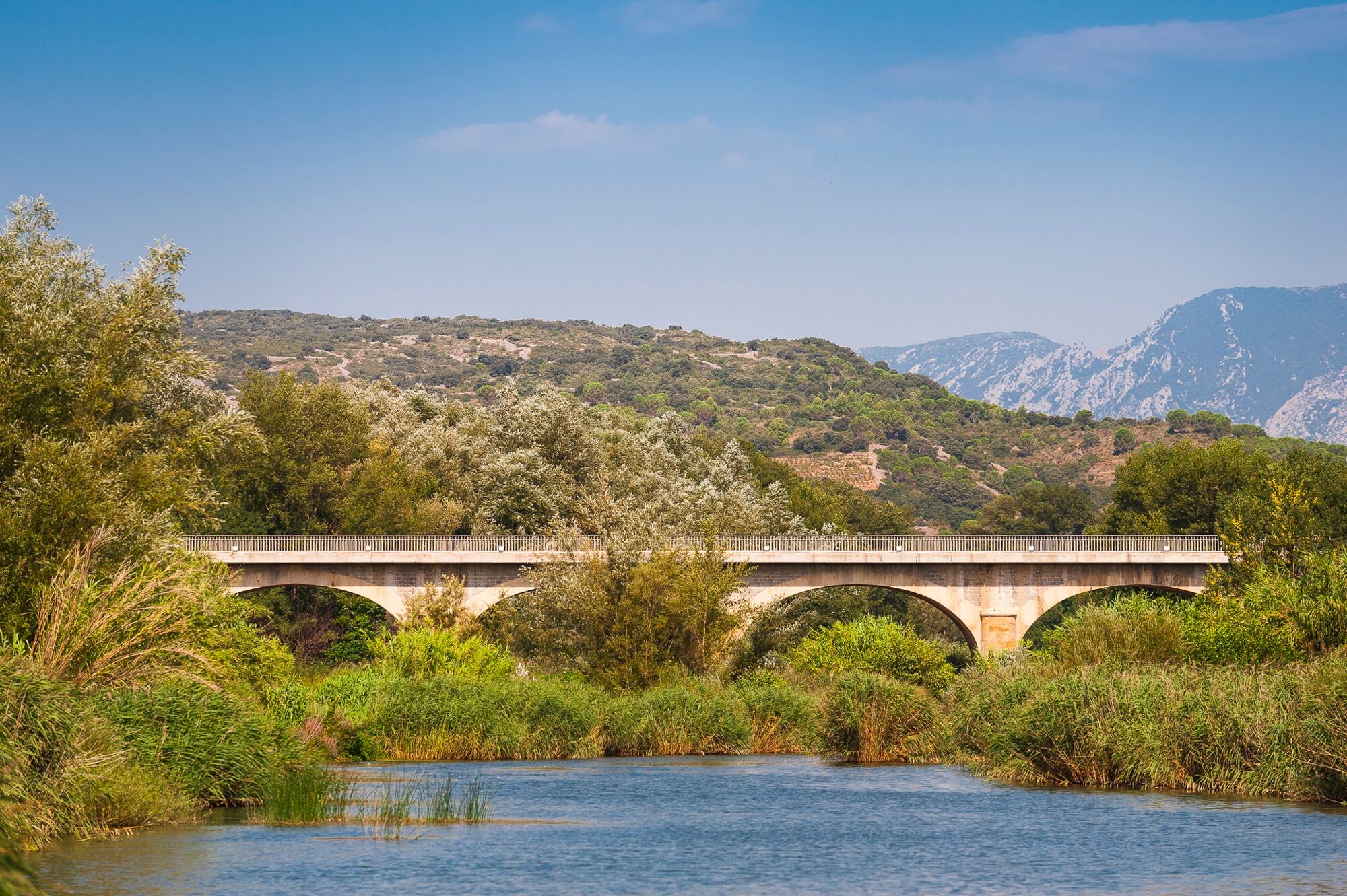
© Perpignan Méditerranée Tourisme - ©Lionel MOOGIN - Agly-Verdouble

© Perpignan Méditerranée Tourisme - ©Lionel Moogin - Agly-Verdouble

© Perpignan Méditerranée Tourisme - ©Lionel MOOGIN - Agly-Verdouble

© Perpignan Méditerranée Tourisme - ©Lionel Moogin - Agly-Verdouble

© Perpignan Méditerranée Tourisme - ©Lionel Moogin - Agly-Verdouble

© Perpignan Méditerranée Tourisme - ©GOR

© Perpignan Méditerranée Tourisme - ©Lionel Moogin - Agly-Verdouble
- Kurzbeschreibung
-
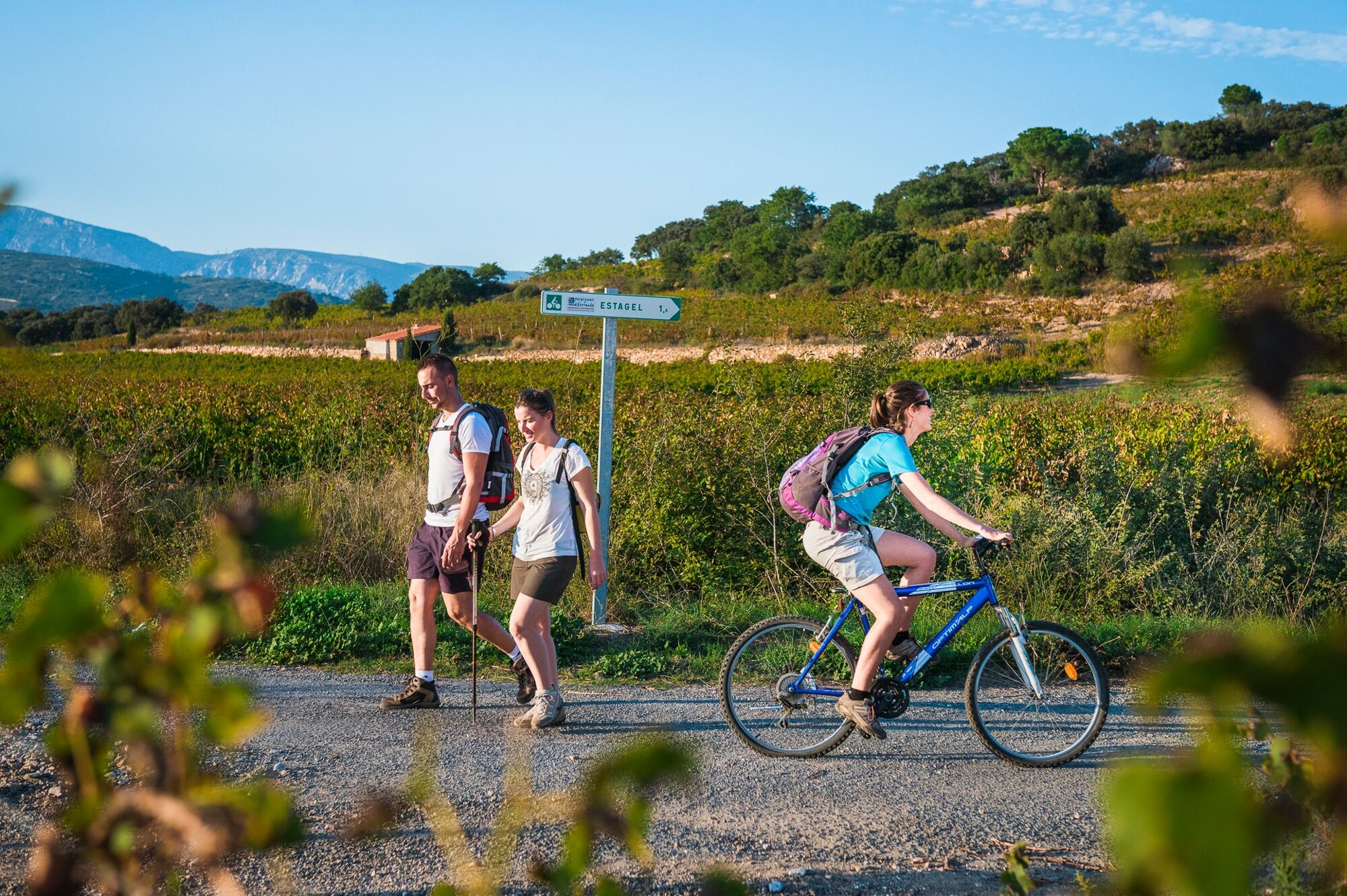
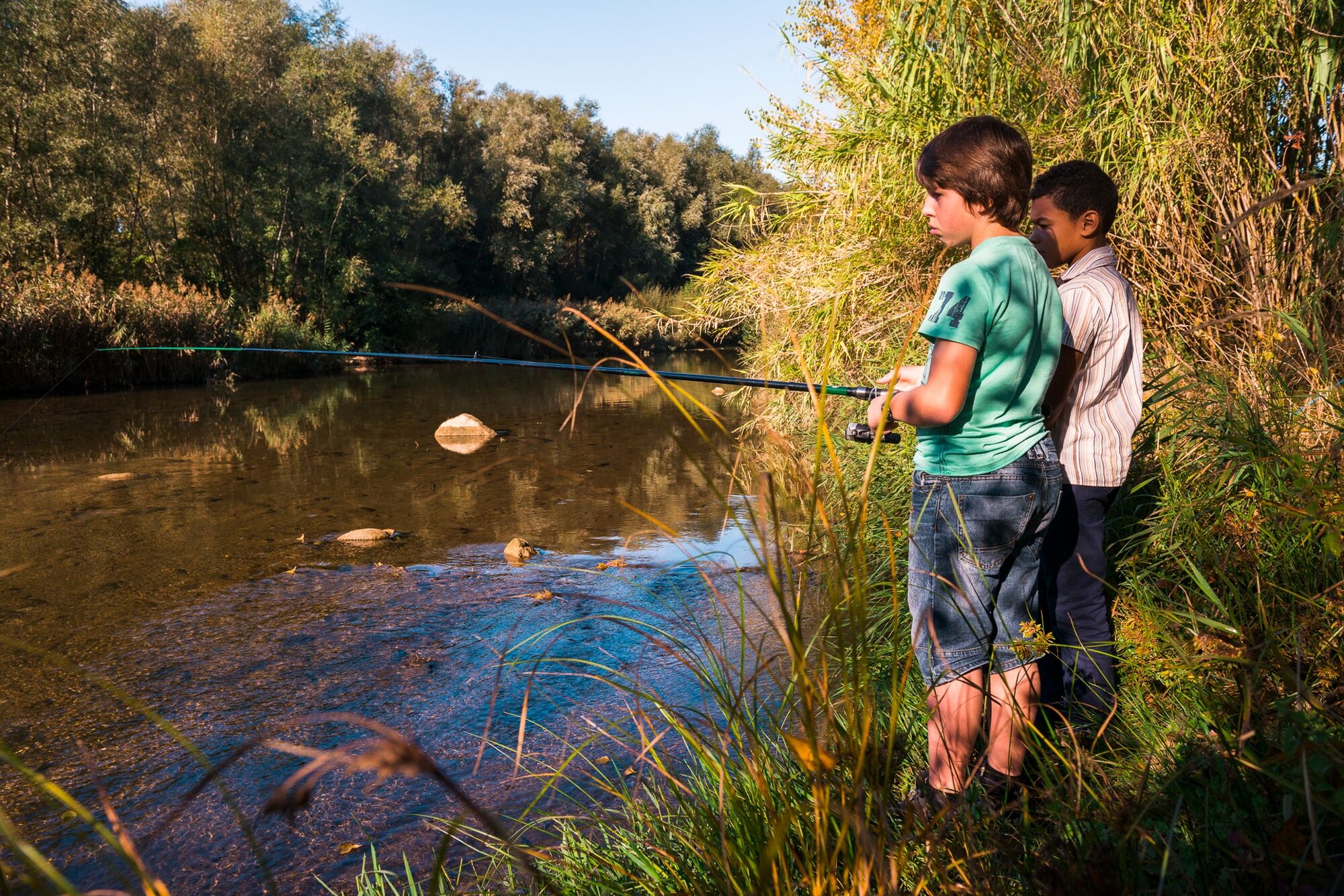
The locals say that the river Agly is difficult to see. Nestled away in its lush sanctuary and protective vegetation, it hides from all except those who venture to meet it at its bed. Very easy family hike, mostly shady. This trail can also be done on foot.
- Schwierigkeit
-
leicht
- Bewertung
-
- Wegverlauf
-
Estagel0,0 kmLatour-de-France4,0 kmEstagel8,3 km
- Beste Jahreszeit
-
JanFebMärAprMaiJunJulAugSepOktNovDez
- Höchster Punkt
- 94 m
- Höhenprofil
-
 © outdooractive.com


-

-
AutorDie Tour Circuit VTT : Bords d’Agly - ESTAGEL wird von outdooractive.com bereitgestellt.
GPS Downloads


Allgemeine Infos
Einkehrmöglichkeit
Geheimtipp
Flora
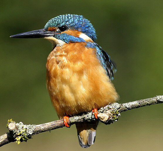
Fauna
Weitere Touren in den Regionen