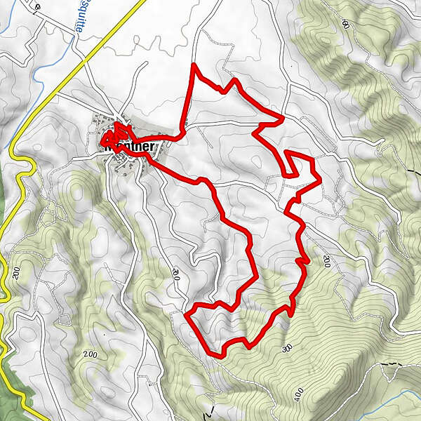
Circuit randonnée : Chemin de Véronique - MONTNER

Wanderung

© Perpignan Méditerranée Tourisme - ©Lionel Moogin - Agly-Verdouble

© Perpignan Méditerranée Tourisme - Michel Castillo

© Perpignan Méditerranée Tourisme - ©Lionel Moogin - Agly-Verdouble

© Perpignan Méditerranée Tourisme - ©MGC - Agly-Verdouble

© Perpignan Méditerranée Tourisme - ©MGCox

© Perpignan Méditerranée Tourisme - ©Thierry Rocque

© Perpignan Méditerranée Tourisme - ©Maurice Séguié

© Perpignan Méditerranée Tourisme - ©Lionel Moogin - Agly-Verdouble
- Kurzbeschreibung
-
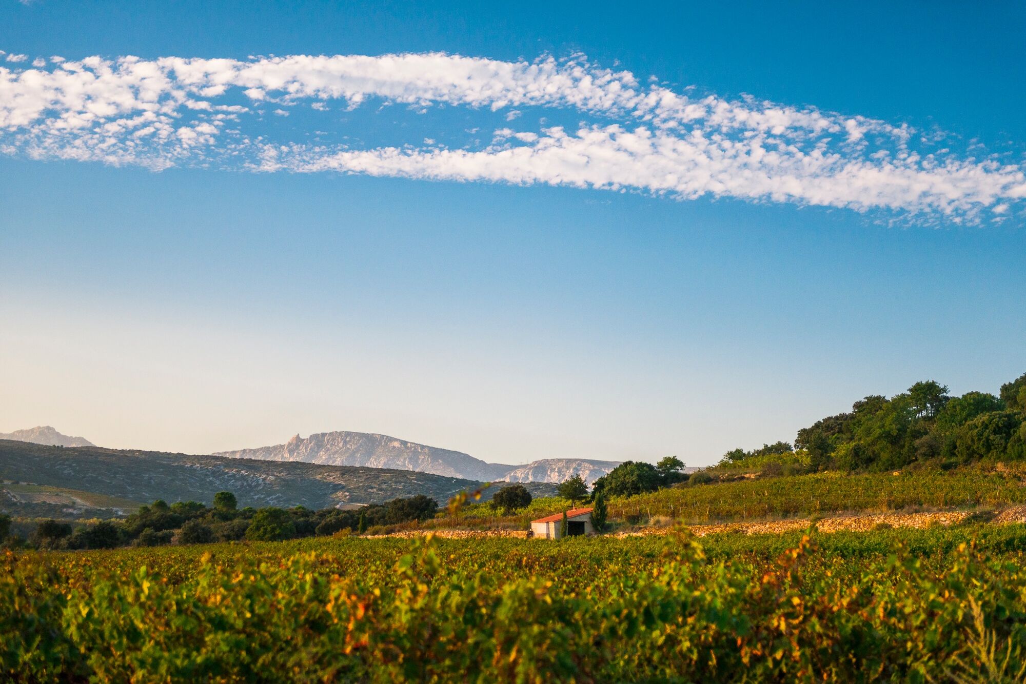
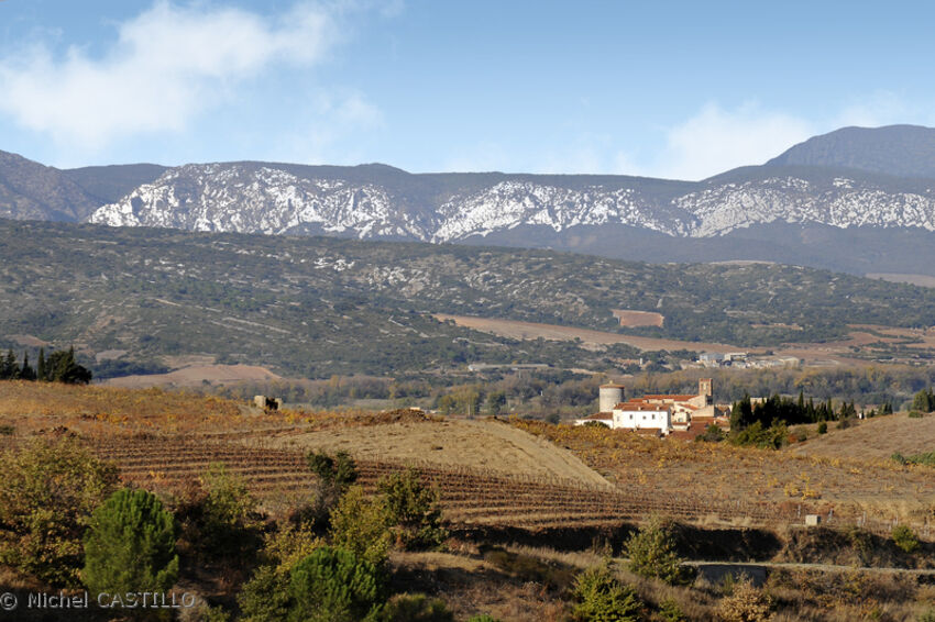
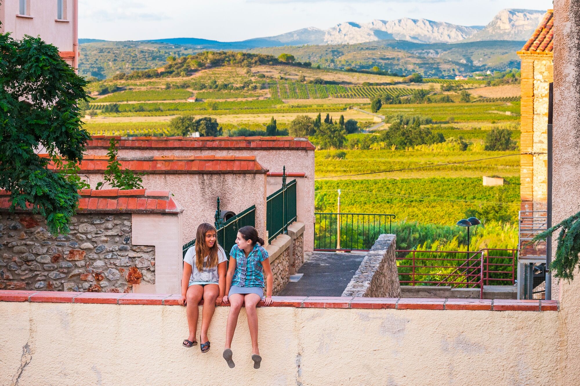
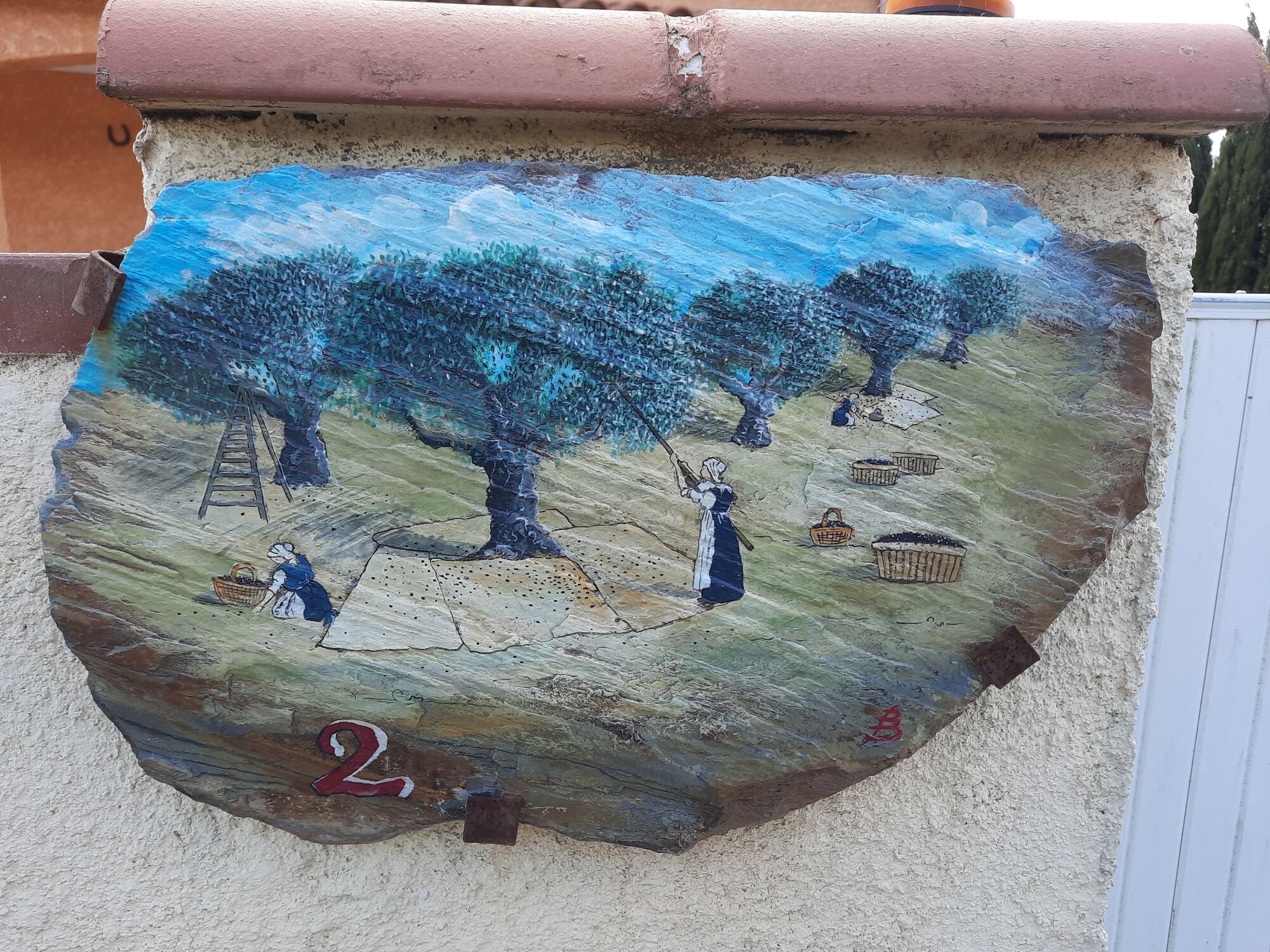
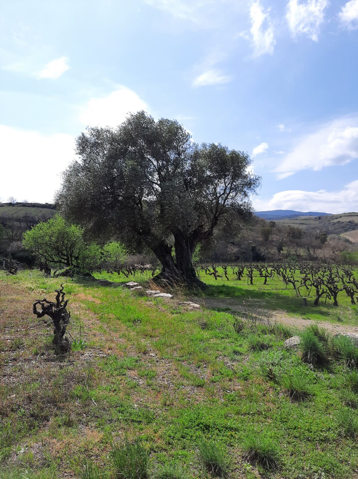
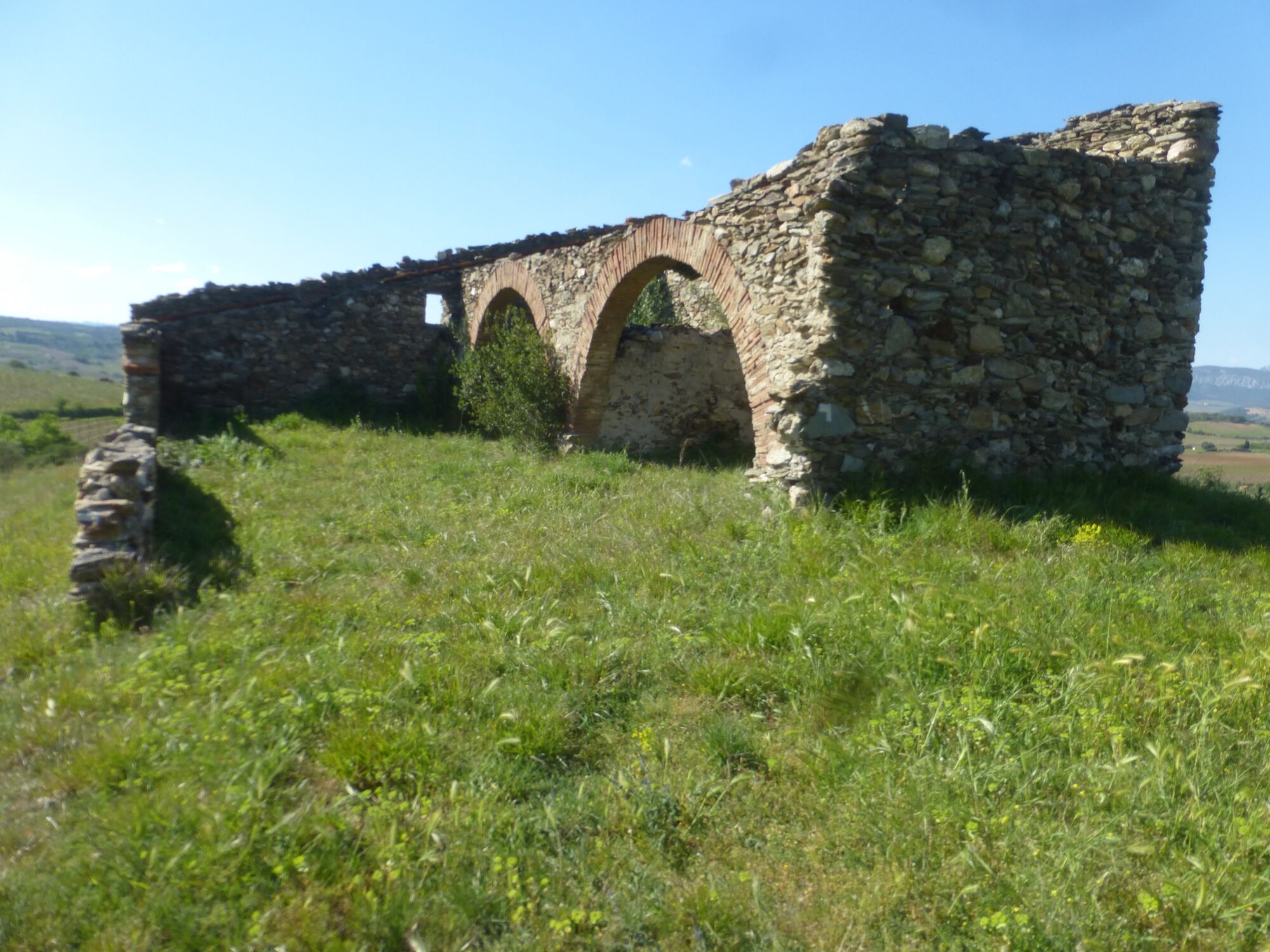
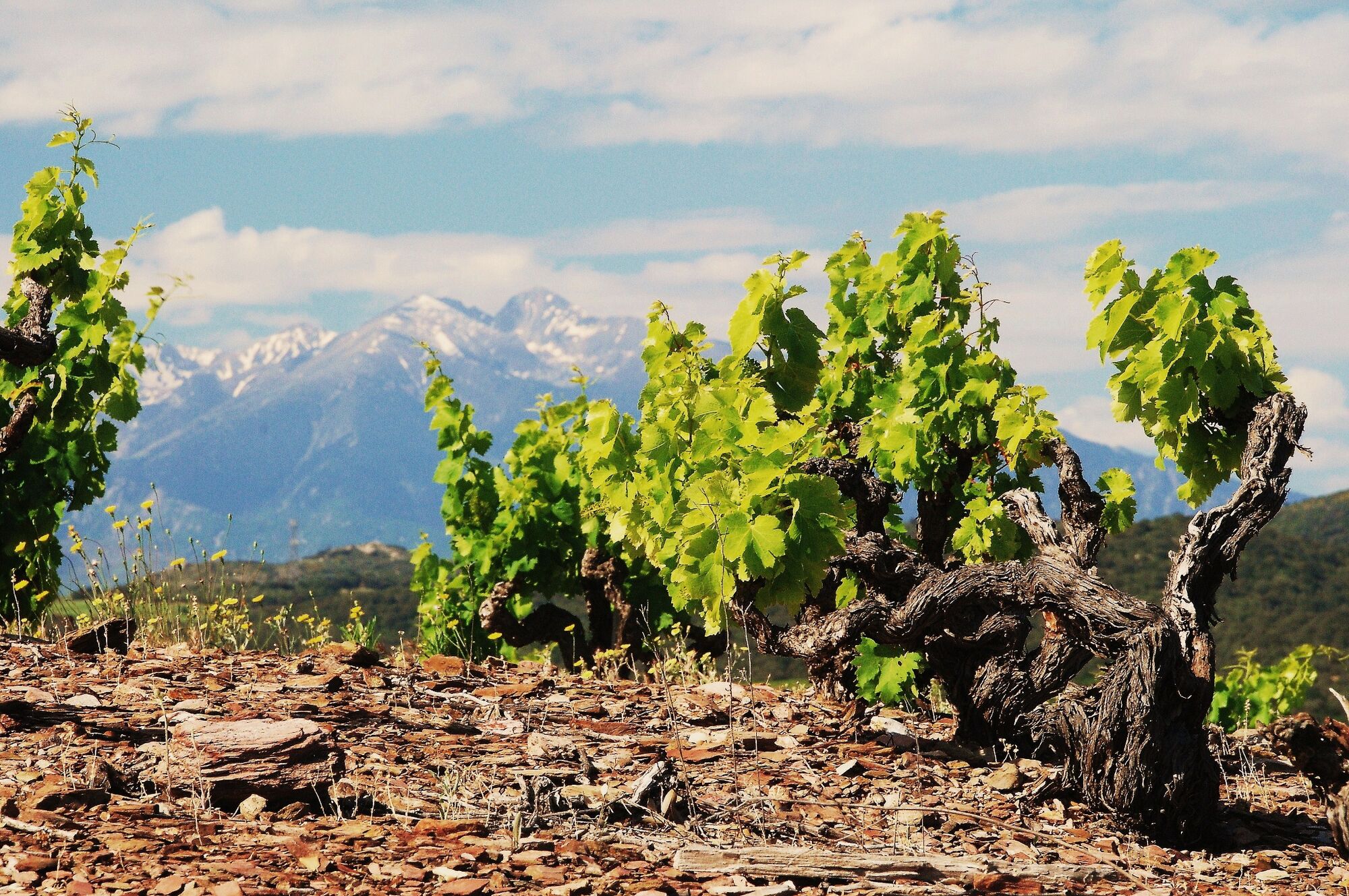
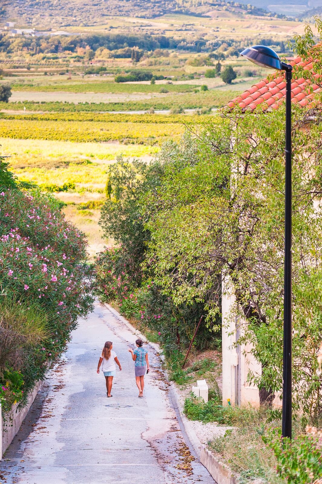
A panoramic hike around Montner on easy tracks and paths surrounded by vineyards. Vineyard huts and old ruined farmhouses line the route and remind us that these lands have been inhabited and worked for several generations.
- Schwierigkeit
-
leicht
- Bewertung
-
- Wegverlauf
-
Église Saint-Jacques0,4 kmMontner0,8 kmAuberge du Cellier8,0 kmMontner8,1 km
- Beste Jahreszeit
-
JanFebMärAprMaiJunJulAugSepOktNovDez
- Höchster Punkt
- 249 m
- Höhenprofil
-
 © outdooractive.com
-

-
AutorDie Tour Circuit randonnée : Chemin de Véronique - MONTNER wird von outdooractive.com bereitgestellt.
GPS Downloads


Allgemeine Infos
Einkehrmöglichkeit
Kulturell/Historisch
Geheimtipp
Aussichtsreich
Weitere Touren in den Regionen