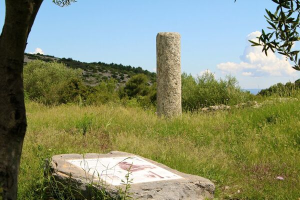
© Perpignan Méditerranée Tourisme - ©Commune de Vingrau

© Perpignan Méditerranée Tourisme - © Lionel Moogin-www.pholio-m.com/Agly-Verdouble

© Perpignan Méditerranée Tourisme - Serge Rumeau

© Perpignan Méditerranée Tourisme - ©Thierry ROCQUE

© Perpignan Méditerranée Tourisme - ©Commune de Vingrau

© Perpignan Méditerranée Tourisme - ©Lionel MOOGIN - Agly-Verdouble

© Wikimedia Commons - Jcb-caz-11

© Perpignan Méditerranée Tourisme - ©Thierry Rocque

© Perpignan Méditerranée Tourisme - ©Adeline Brissaud

© Perpignan Méditerranée Tourisme - ©Lionel Moogin - Agly-Verdouble
- Kurzbeschreibung
-
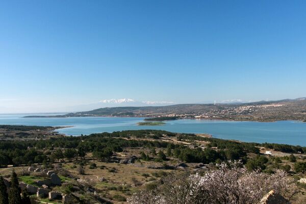
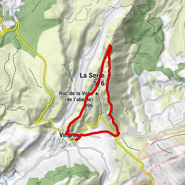
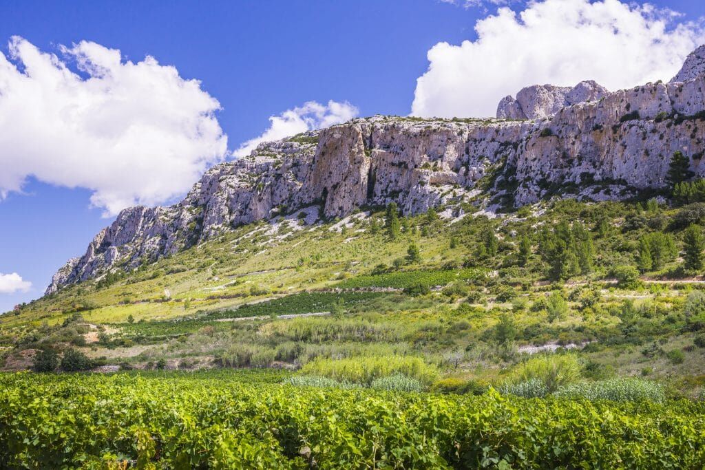
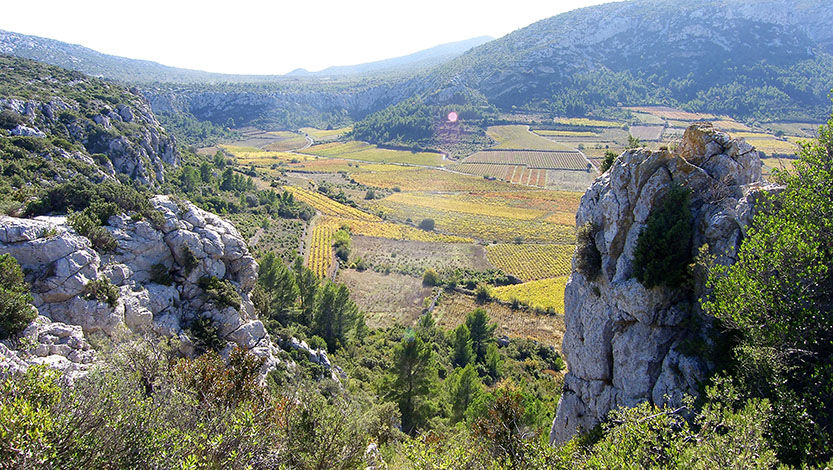
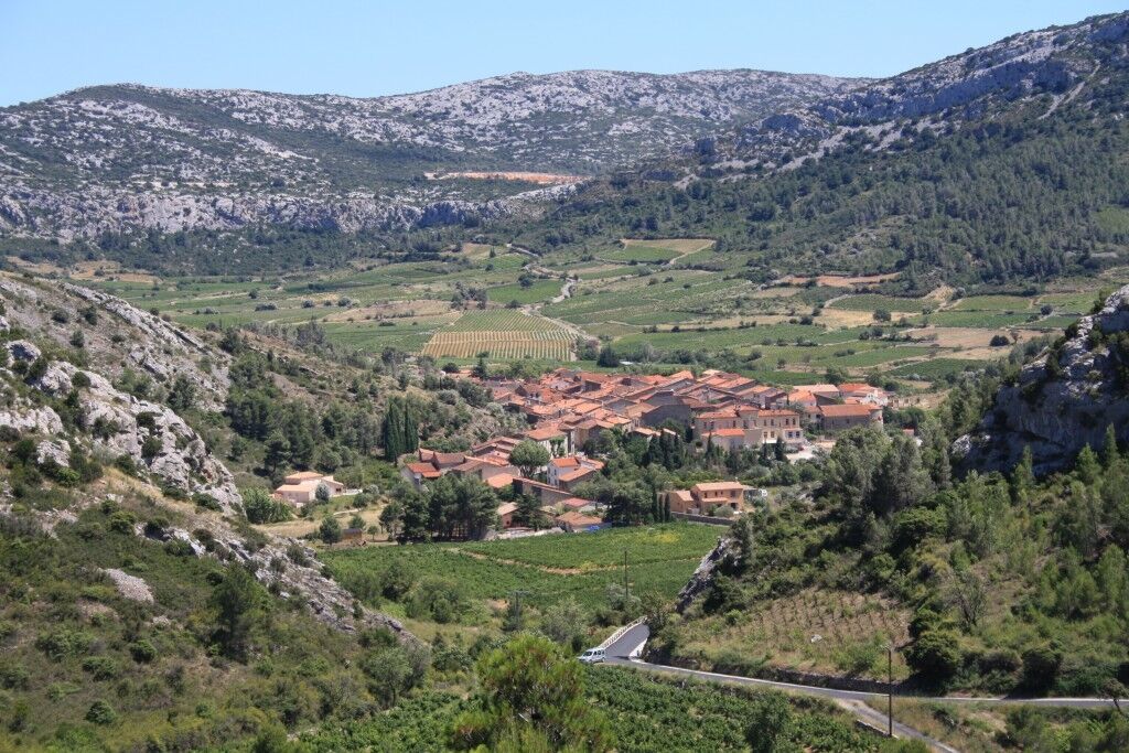
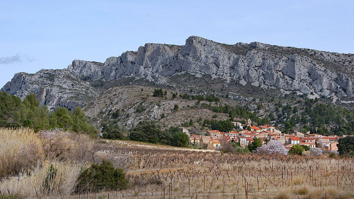
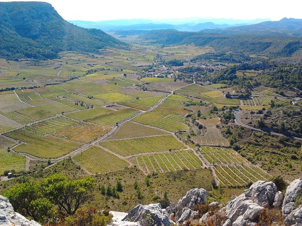
This beautiful itinerary will give you the opportunity to appreciate the "wildness" of the Corbières. The return journey follows the ridges of the Serra, offering a superb 360° view of the landscape: the sea, the Roussillon, the Albères, the Canigou, the Agly Valley. The trail winds along the ridge above the cliffs.
- Schwierigkeit
-
mittel
- Bewertung
-
- Wegverlauf
-
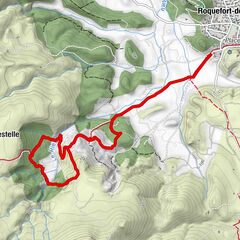
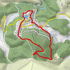
Vingrau0,6 kmGrotte Casquet0,7 kmLa Serre (576 m)4,8 kmVingrau8,3 km
- Beste Jahreszeit
-
JanFebMärAprMaiJunJulAugSepOktNovDez
- Höchster Punkt
- 554 m
- Höhenprofil
-
 © outdooractive.com


-

-
AutorDie Tour Circuit randonnée : Pas de l'Escale - VINGRAU wird von outdooractive.com bereitgestellt.
GPS Downloads


Allgemeine Infos
Einkehrmöglichkeit
Geheimtipp
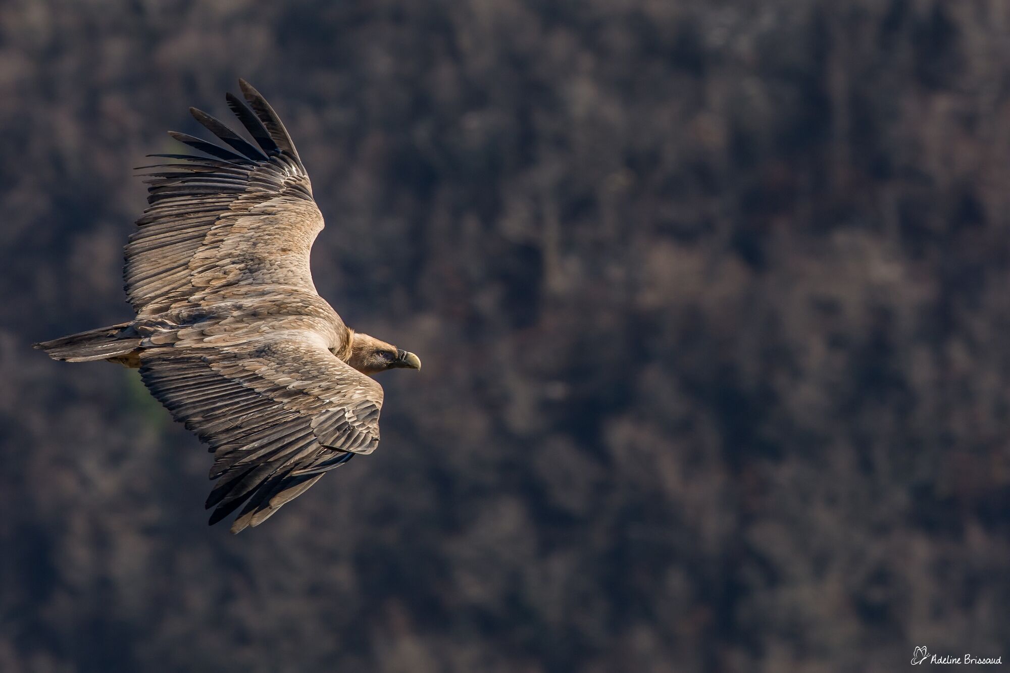
Fauna
Aussichtsreich
Weitere Touren in den Regionen