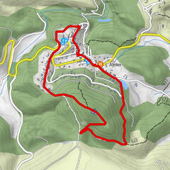
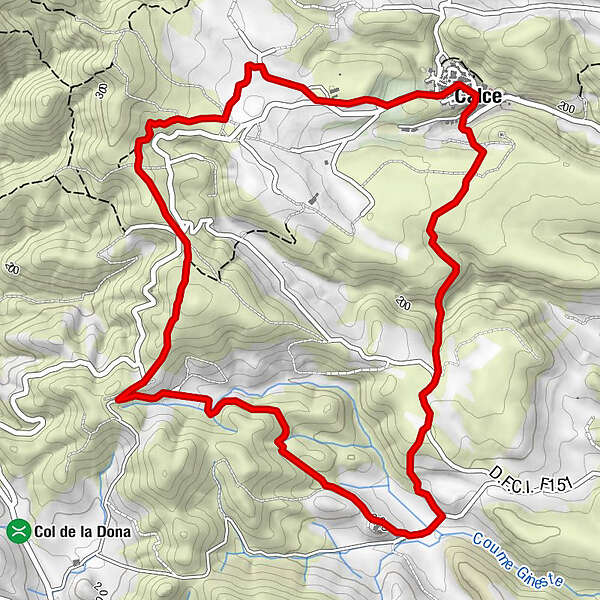
Circuit randonnée : Chemin de Calce à Les Founts - CALCE

Wanderung

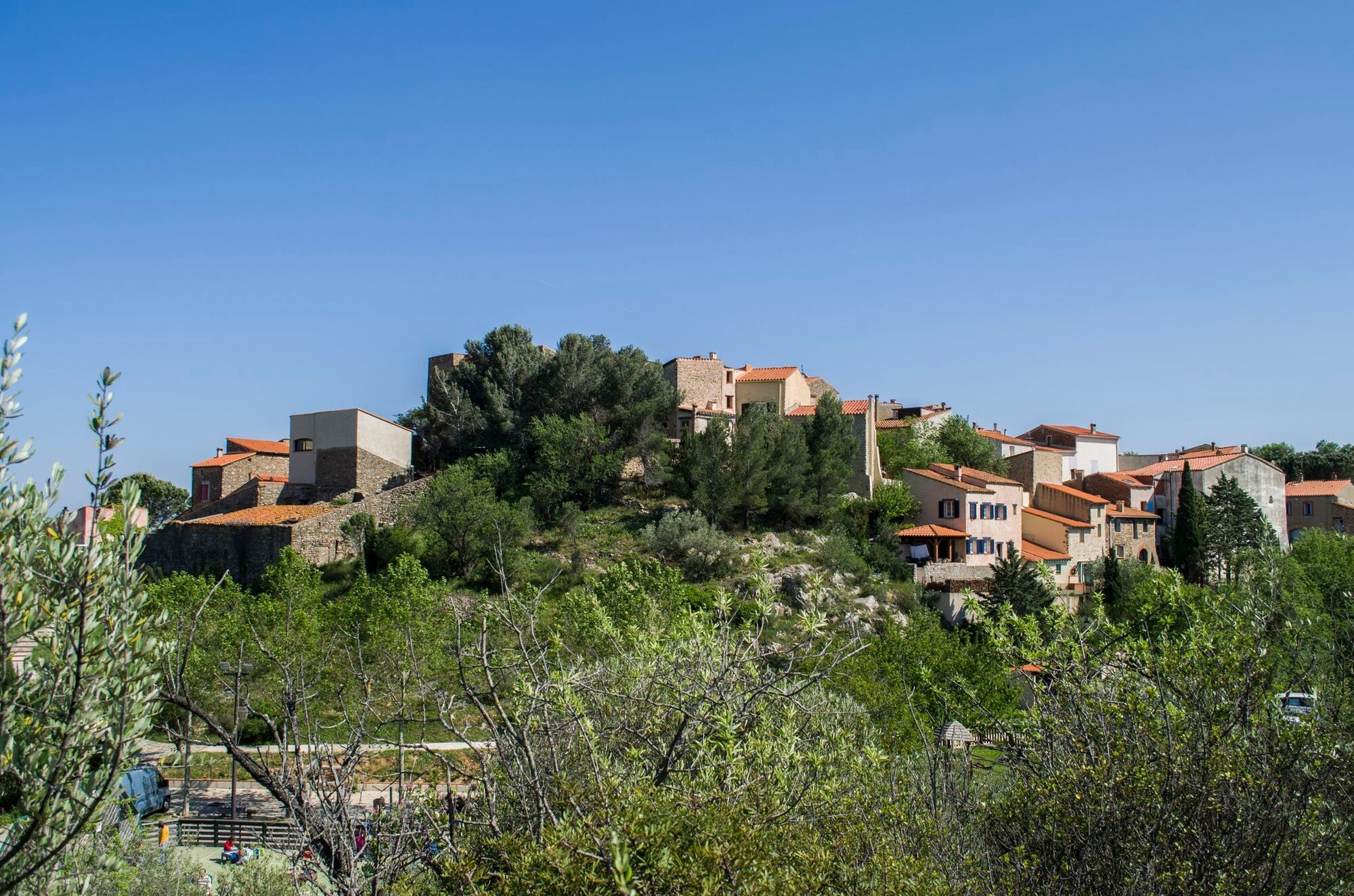
© Perpignan Méditerranée Tourisme - Commune de Calce

© Unbekannt - Commune de Calce

© Perpignan Méditerranée Tourisme - ©Yohan Perez

© Perpignan Méditerranée Tourisme - ©Yohan Perez

© Perpignan Méditerranée Tourisme - ©Perpignan Méditerranée Métropole

© Perpignan Méditerranée Tourisme - ©Commune de Calce

© Perpignan Méditerranée Tourisme - ©Commune de Calce

© Perpignan Méditerranée Tourisme - ©Commune de Calce

© Perpignan Méditerranée Tourisme - ©Guy-François Banyuls
- Kurzbeschreibung
-
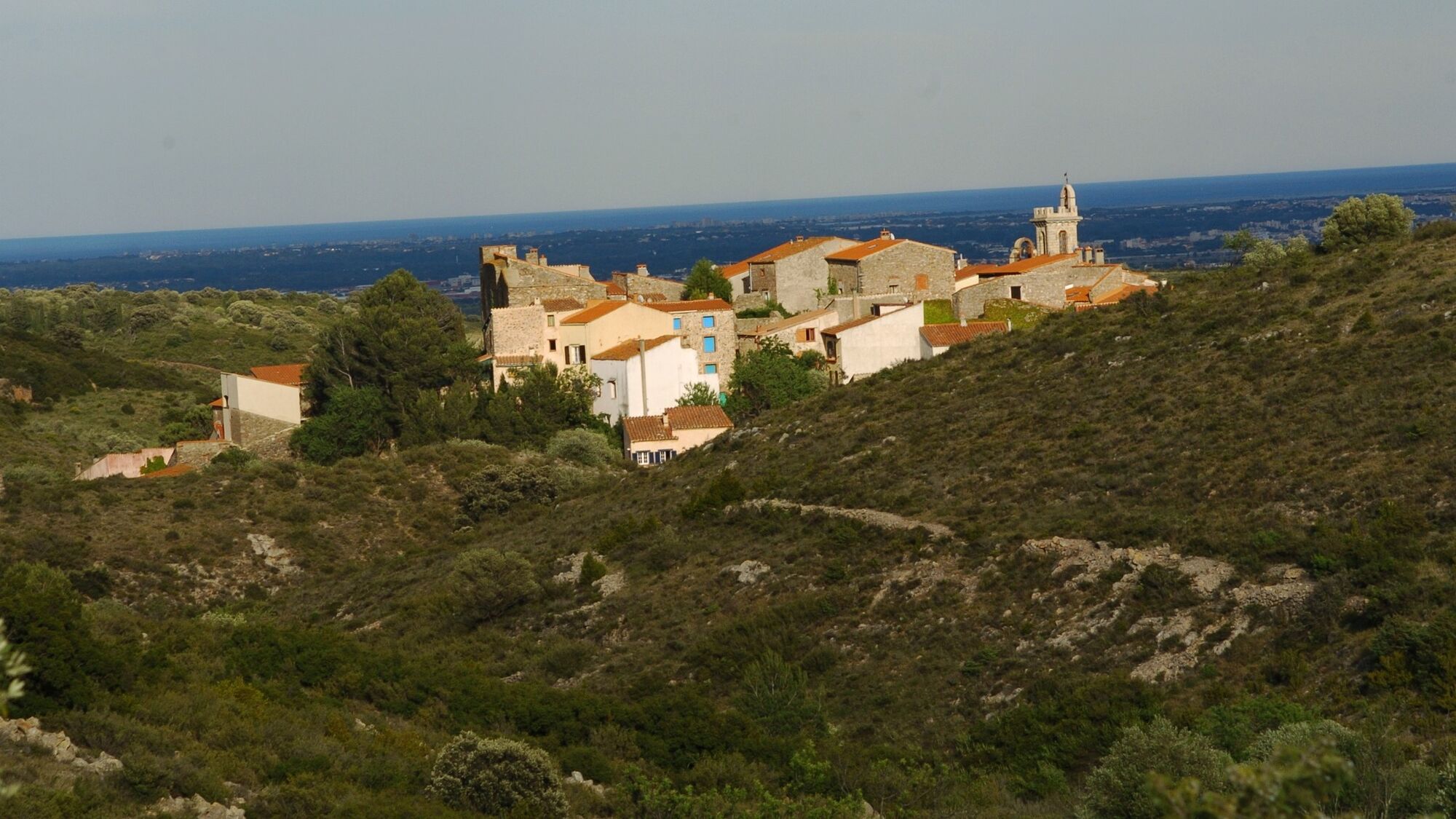
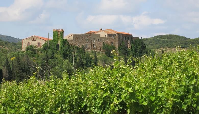
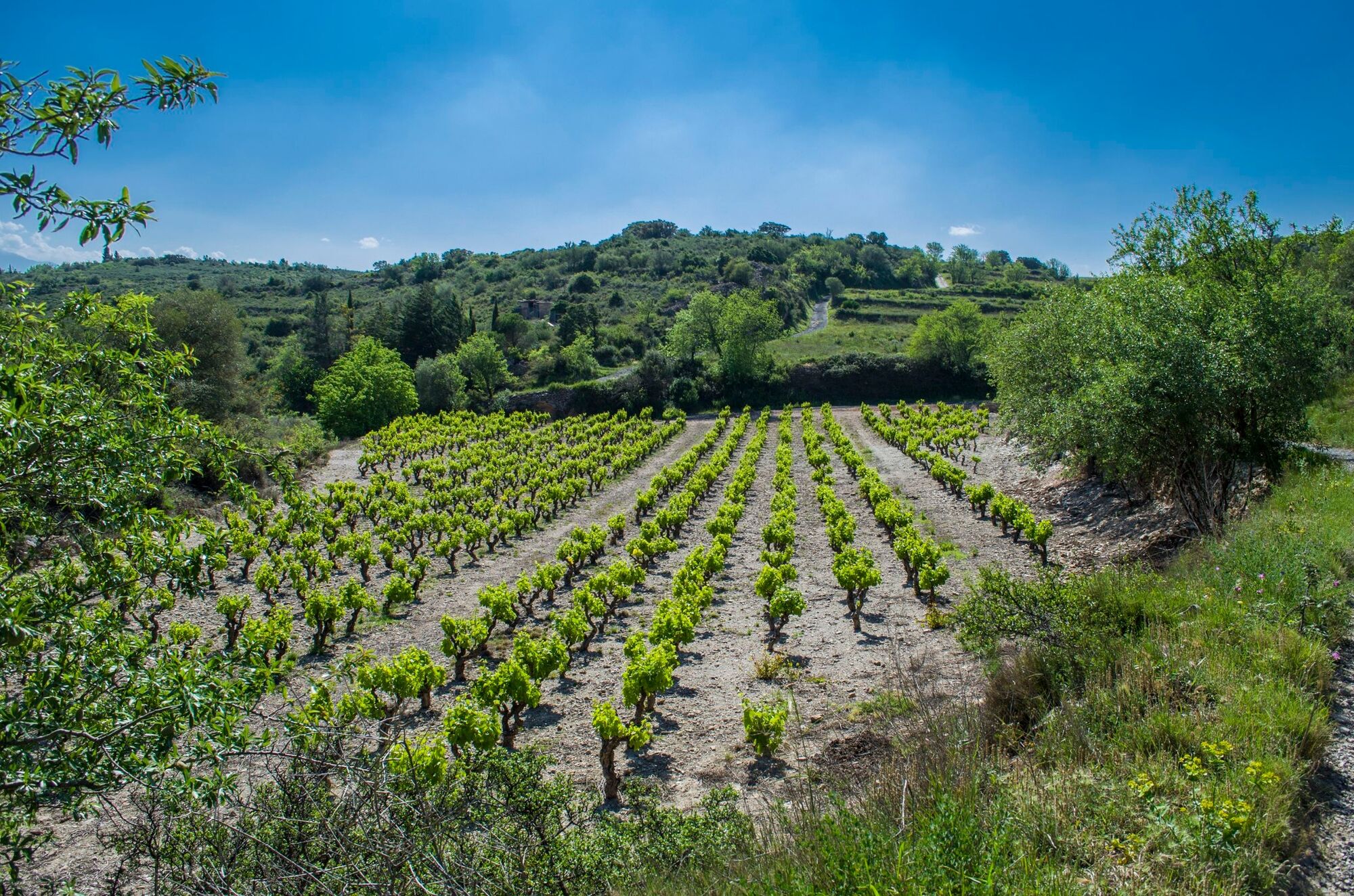
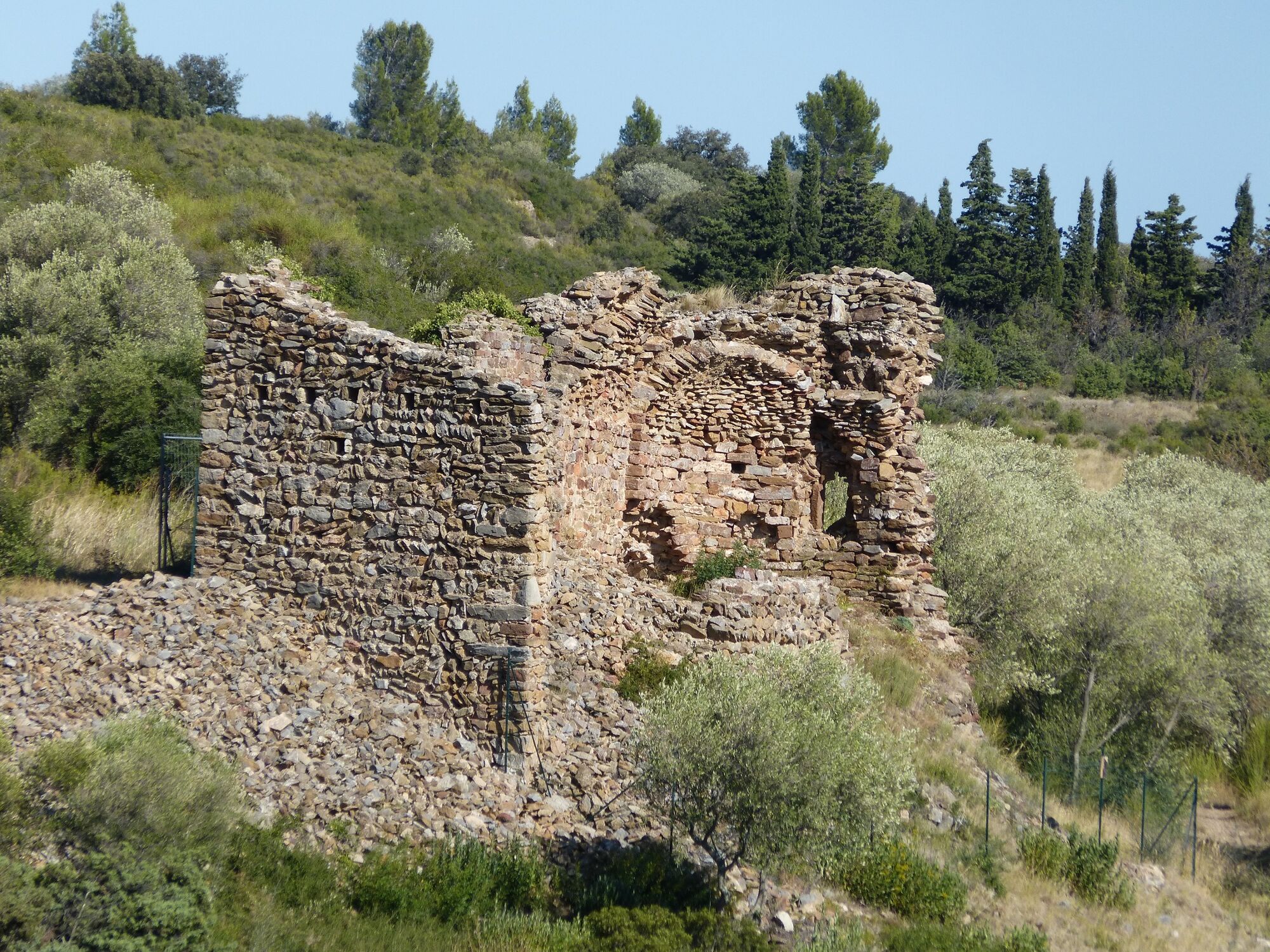
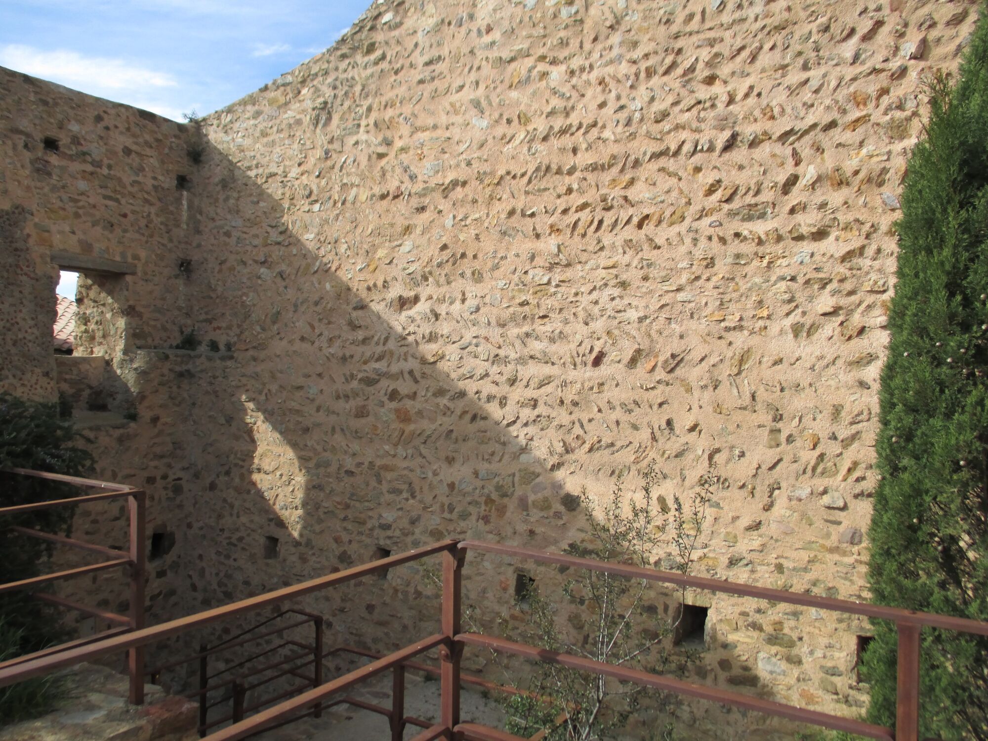
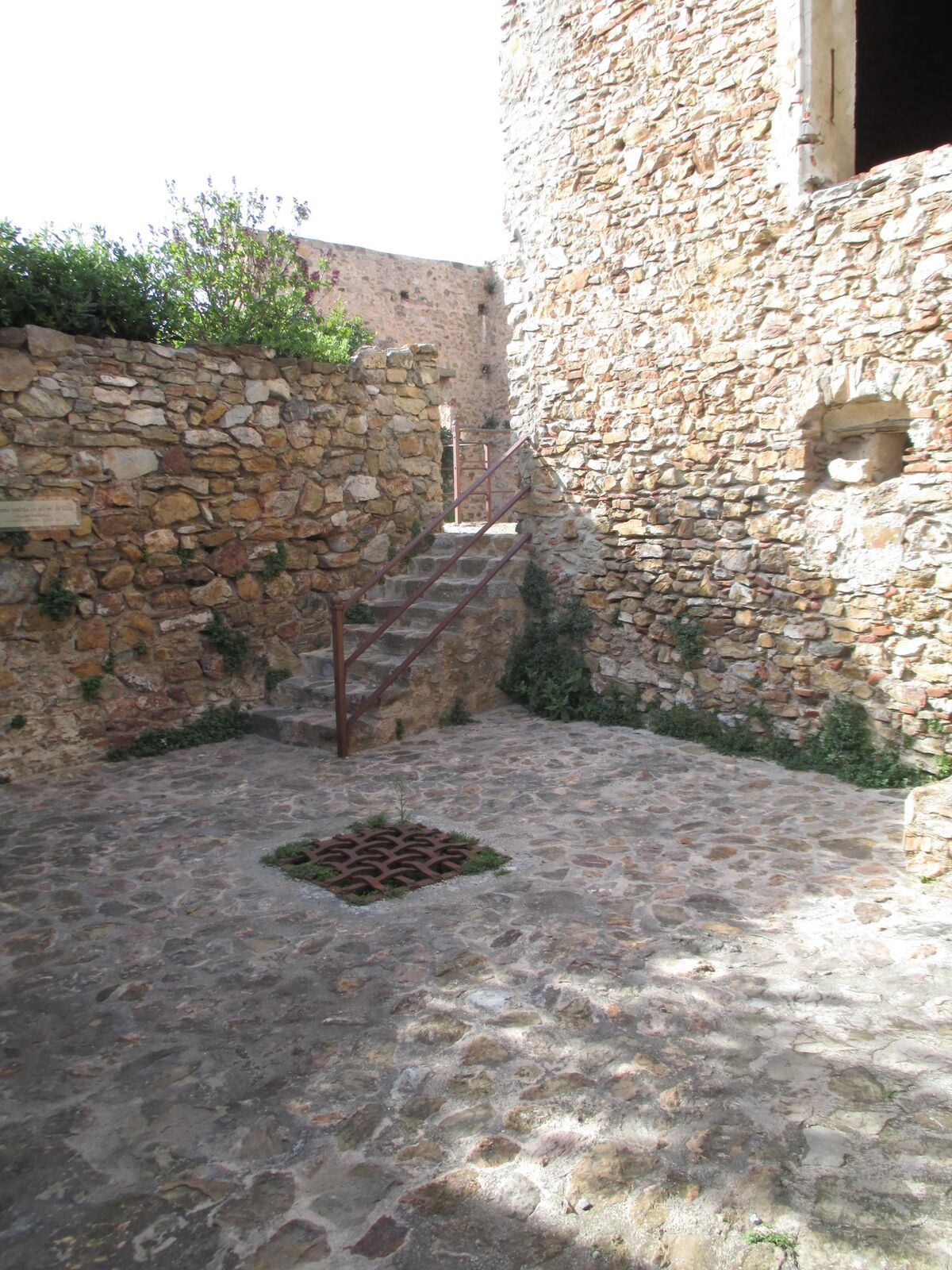
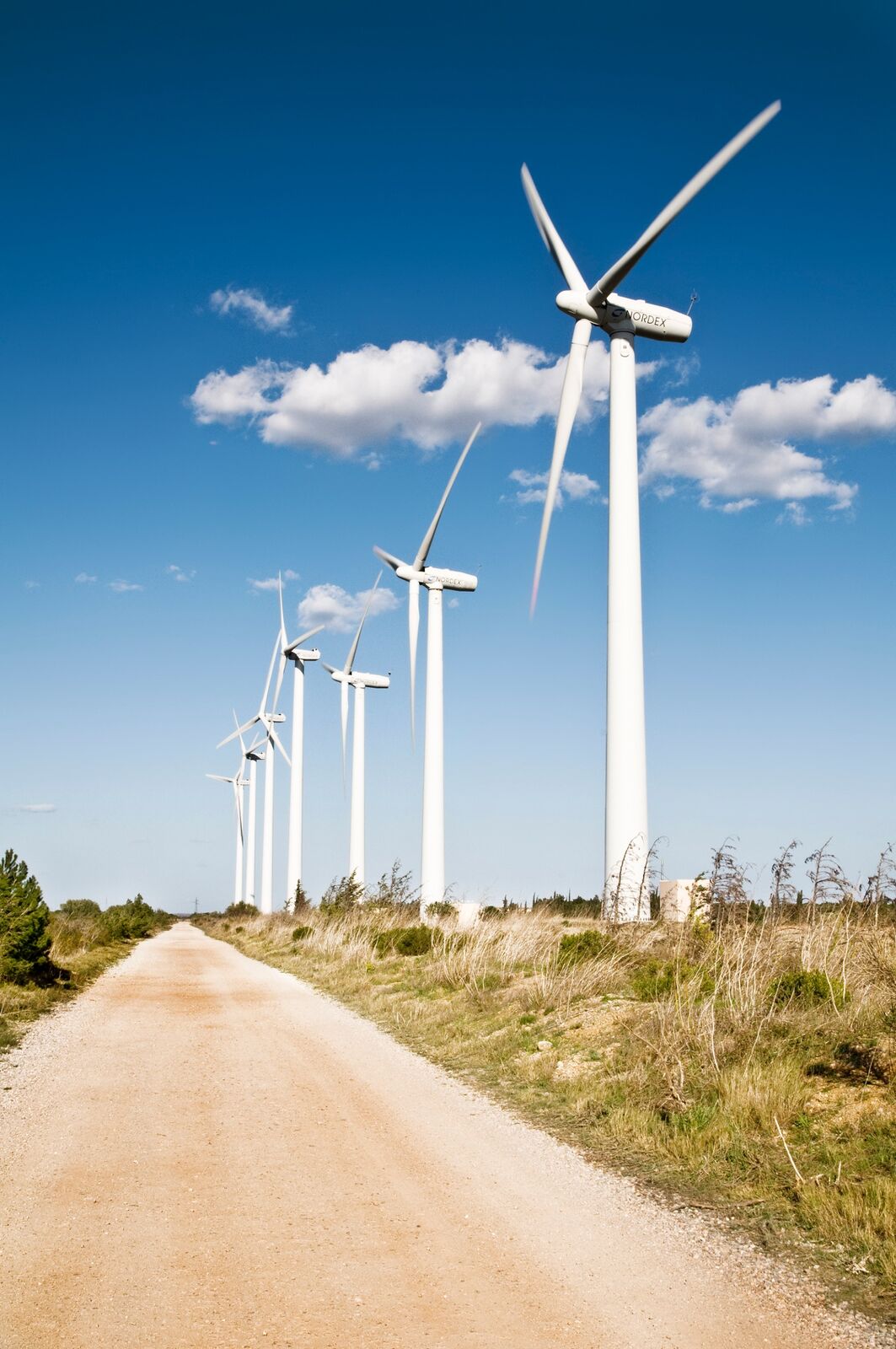
This is a varied trail, through hills and valleys. You will alternate between agricultural landscapes of crops, vineyards, pastures, and natural areas of garrigue and scrubland. The trail follows tracks, paths and small roads, offering you beautiful panoramic views of the Canigou, Roussillon, Força-Real and the Agly valley. It includes a stop at the old Mas de les Founts, a medieval farmhouse overlooking the vineyard.
- Schwierigkeit
-
leicht
- Bewertung
-
- Wegverlauf
-
Église Saint-PaulCalceMulti-Services Le Presbytère0,0 kmCalce7,5 kmMulti-Services Le Presbytère7,7 kmÉglise Saint-Paul7,7 km
- Beste Jahreszeit
-
JanFebMärAprMaiJunJulAugSepOktNovDez
- Höchster Punkt
- 287 m
- Höhenprofil
-
 © outdooractive.com
-

-
AutorDie Tour Circuit randonnée : Chemin de Calce à Les Founts - CALCE wird von outdooractive.com bereitgestellt.
GPS Downloads


Allgemeine Infos
Einkehrmöglichkeit
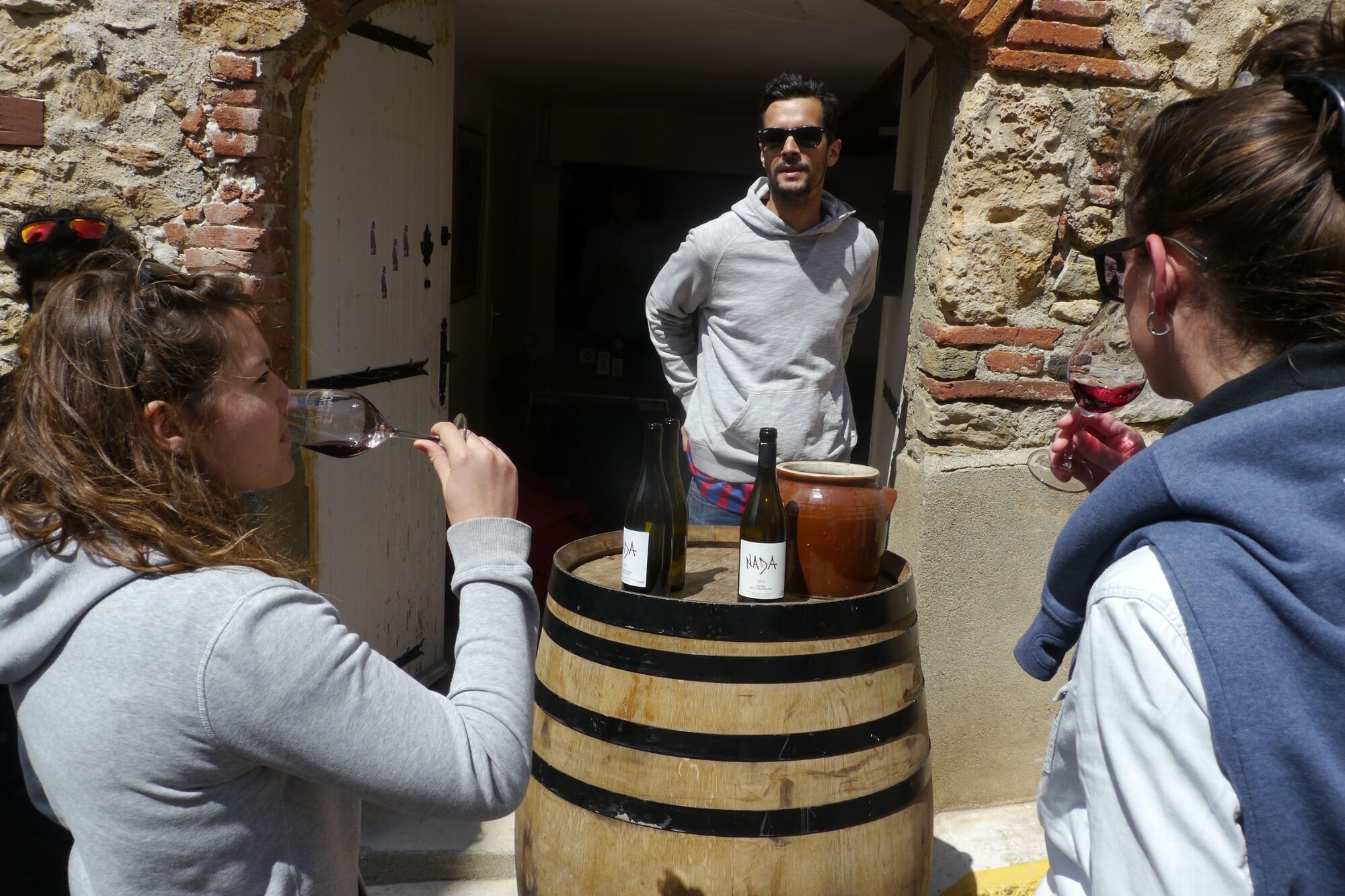
Kulturell/Historisch
Geheimtipp
Fauna
Aussichtsreich
Weitere Touren in den Regionen