

© KUT - KOzara Ultra Trail
© KUT - Kozara Ultra Trail

- Kurzbeschreibung
-
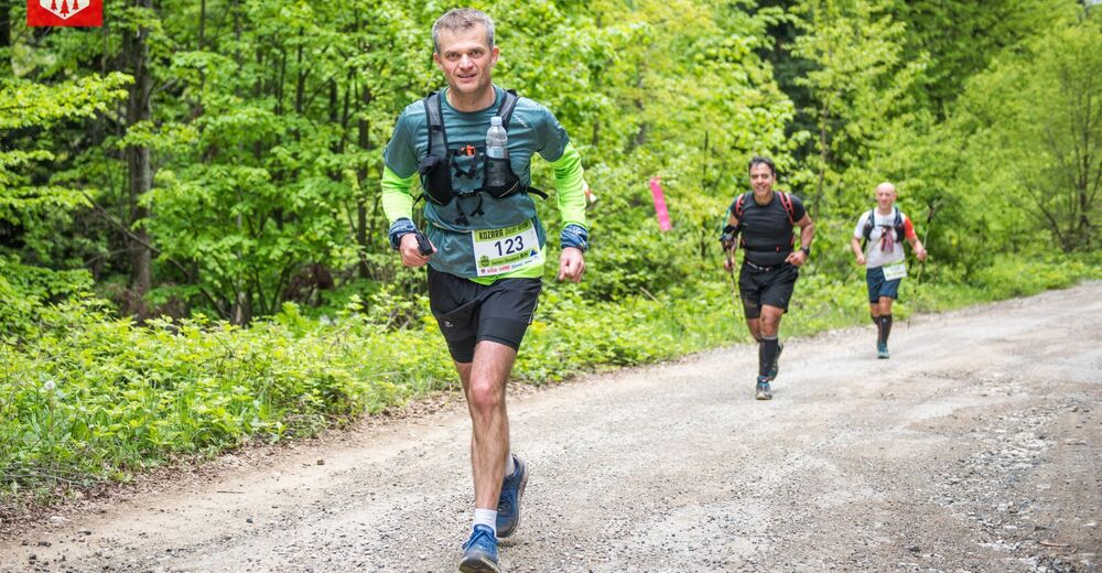
The hardest race we offer. What distinguishes Kozara is the shade of high coniferous trees and places it in the ranks of rare mountains where racers, on over 80% of the length of the track, will be protected from the direct impact of the sun's rays. Pine needles, as they are spread down on tracks, create a completely natural trim track ideal for racers.
- Schwierigkeit
-
schwer
- Bewertung
-
- Wegverlauf
-
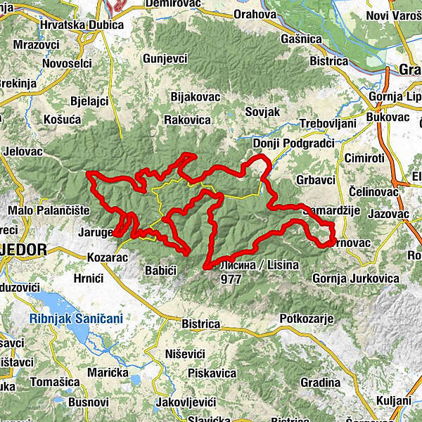
Mrakovica0,3 kmТодин точак / Todin točak12,4 kmЛисина / Lisina (977 m)18,3 kmKozara29,7 kmCrkva sv. Ante Padovanskog33,1 kmMičije34,8 kmSaša49,6 kmGornji Podgradci49,6 kmBiffe Piksi50,0 kmTalavića poljana (780 m)88,6 kmБешића пољана (714 m)89,9 kmJasik (714 m)91,0 kmKozarski kamen (658 m)92,2 kmKotlovača97,9 kmZečji kamen99,9 kmGumline103,9 kmMrakovica112,0 kmLane112,4 km
- Beste Jahreszeit
-
JanFebMärAprMaiJunJulAugSepOktNovDez
- Höchster Punkt
- 958 m
- Zielpunkt
-
Kozara - Mrakovica
- Höhenprofil
-
 © outdooractive.com


-
-
AutorDie Tour Kozara Ultra Trail wird von outdooractive.com bereitgestellt.
GPS Downloads


Allgemeine Infos
Einkehrmöglichkeit
Kulturell/Historisch
Flora
Fauna
Weitere Touren in den Regionen
-
Srpska
10