© Terra Dinarica - planinarenje .ba

© Terra Dinarica - planinarenje .ba

© Terra Dinarica - planinarenje .ba

© Terra Dinarica - planinarenje .ba

© Terra Dinarica - planinarenje .ba

- Kurzbeschreibung
-
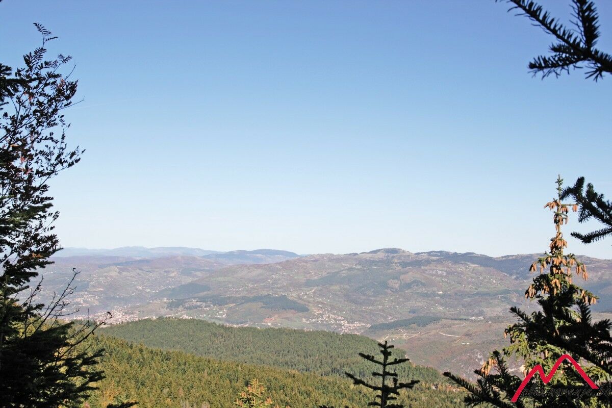
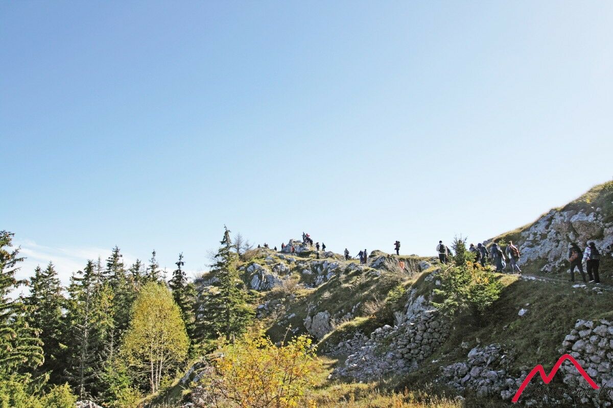
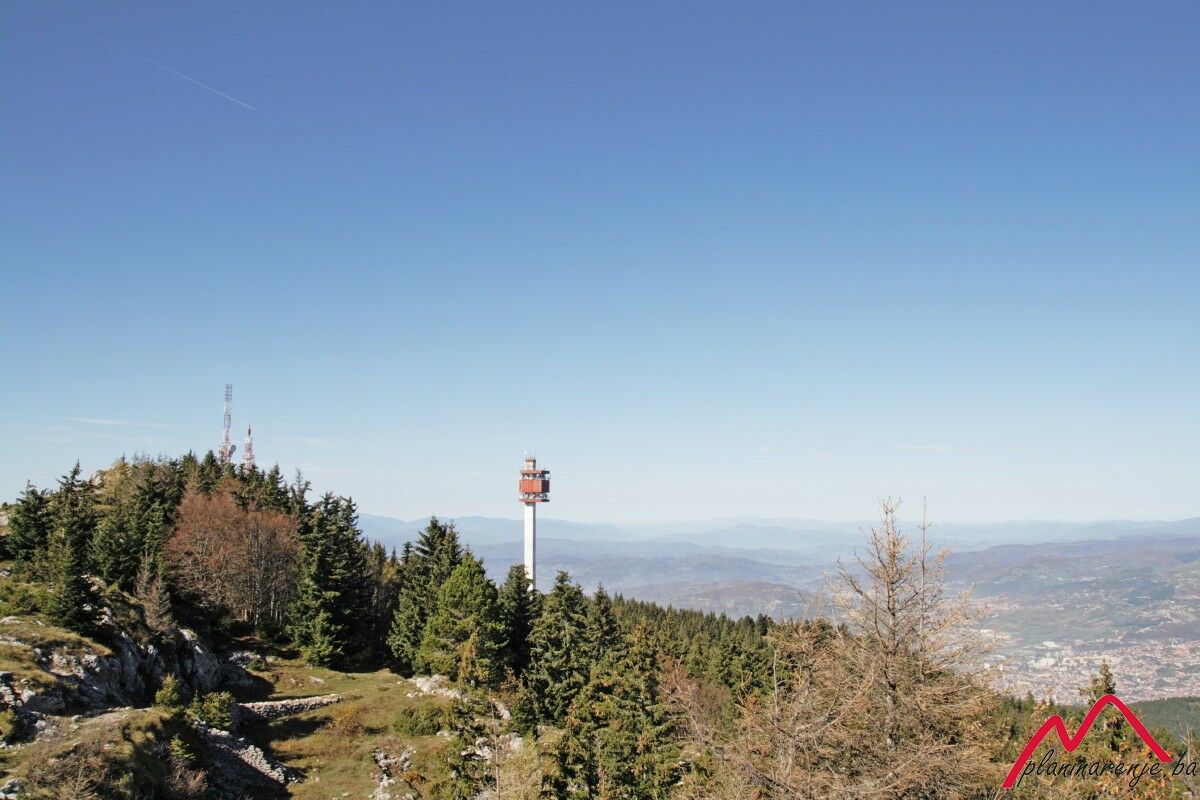
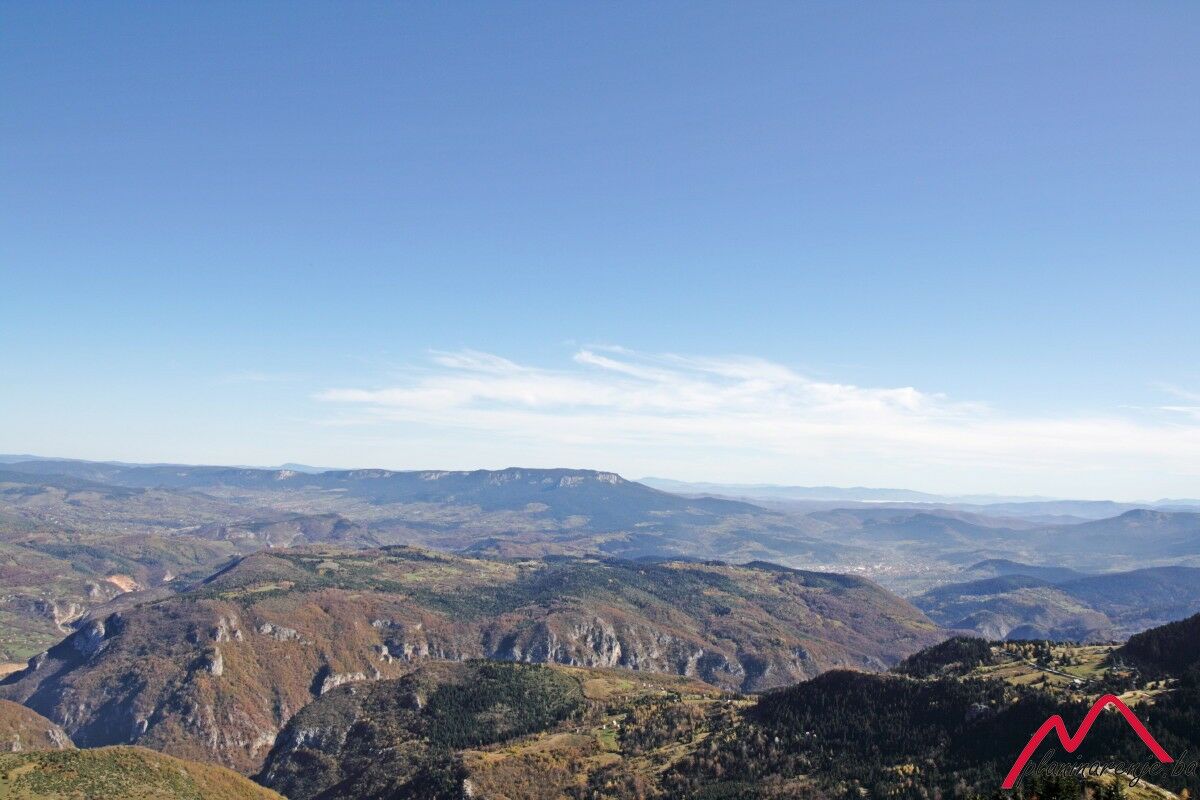
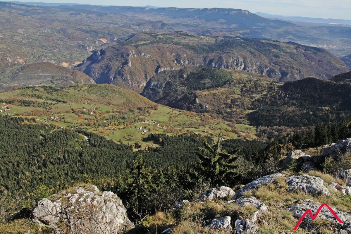
It is a pleasant walk on an easily traversable trail which goes through evergreen forest and allows you to conquer a moderate altitude via a gradual ascend up the long meandering trails. The pay-off comes in the form of an attractive ridge on the summit of Sofe, offering a view of most of the area of Bosnia and Herzegovina.
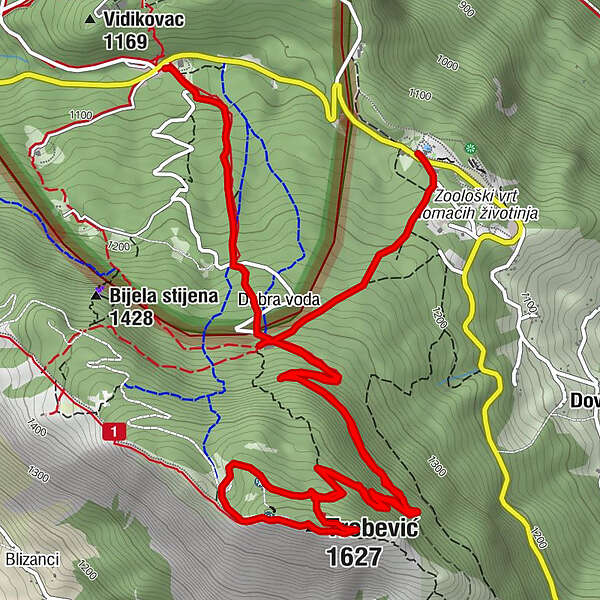
- Wegverlauf
-
Brus0,1 kmTrebević-Sofe (1.627 m)4,6 kmPD Dobre vode8,4 kmPrvi Šumar10,0 km
- Höchster Punkt
- 1.599 m
- Zielpunkt
-
summit of Trebević Sofe
- Höhenprofil
-
 © outdooractive.com
-

-
AutorDie Tour Trebević via Brus wird von outdooractive.com bereitgestellt.