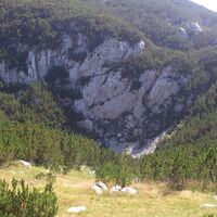
Explore Mt Lelija from Obalj via Drhtar and Javić peaks

Wanderung

Tourdaten
21,04km
1.116
- 1.956m
1.094hm
577hm
08:21h

- Kurzbeschreibung
-
Demanding hike with breathataking views over Lelija and Zelengora mountains.
- Schwierigkeit
-
mittel
- Bewertung
-
- Wegverlauf
-
Drhtar (1.970 m)14,9 kmJavić (1.902 m)18,3 km
- Beste Jahreszeit
-
JanFebMärAprMaiJunJulAugSepOktNovDez
- Höchster Punkt
- 1.956 m
- Zielpunkt
-
Štirinsko lake
- Höhenprofil
-
© outdooractive.com
-

-
AutorDie Tour Explore Mt Lelija from Obalj via Drhtar and Javić peaks wird von outdooractive.com bereitgestellt.


