
- Schwierigkeit
-
schwer
- Bewertung
-
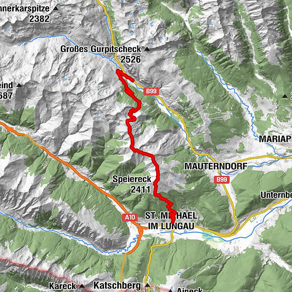
- Ausgangspunkt
-
Tweng
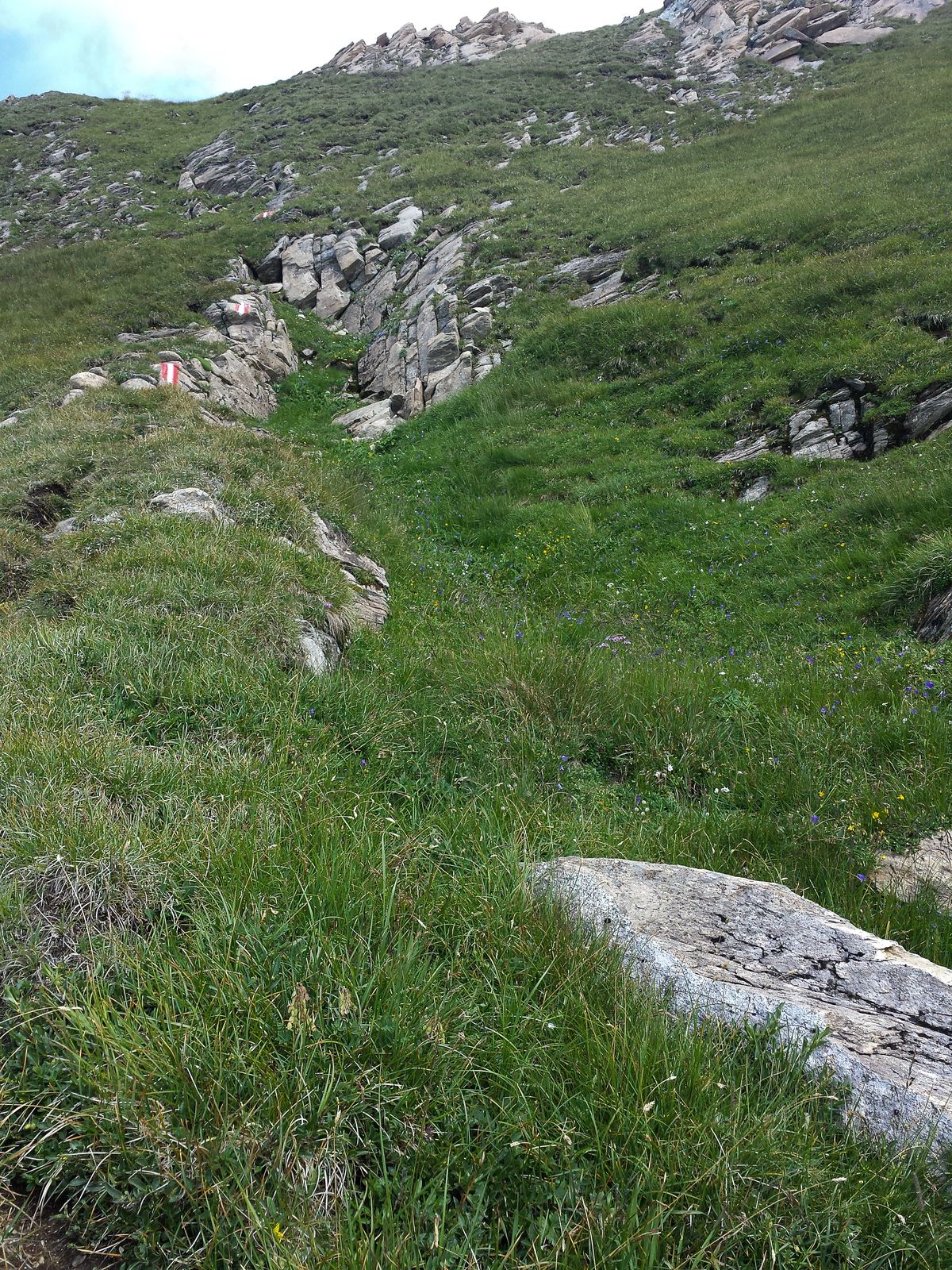
- Wegverlauf
-
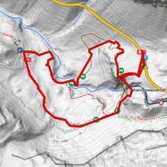
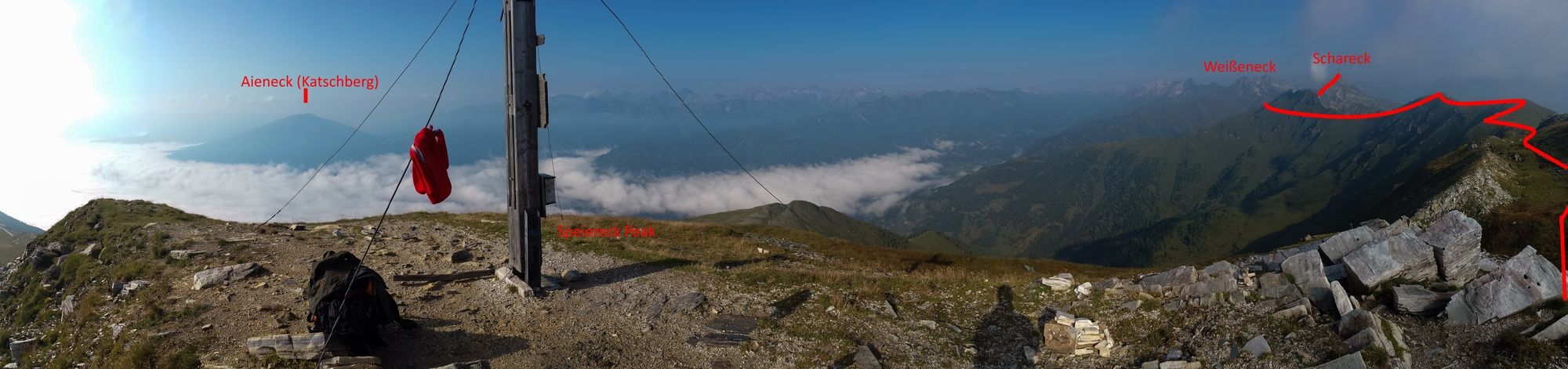
St. Michael im LungauSpeiereck Halterhütte4,2 kmSpeiereck (2.411 m)5,5 kmKleiner Lanschütz (2.355 m)6,3 kmGroßer Lanschütz (2.347 m)7,1 kmPasseggertörl (2.218 m)7,8 kmKämpenköpfln (2.366 m)8,2 kmSchareck (2.466 m)10,6 kmPfarrkirche Heiliges Kreuz19,3 kmTweng19,3 km
- Beste Jahreszeit
-
JanFebMärAprMaiJunJulAugSepOktNovDez
- Beschreibung
-
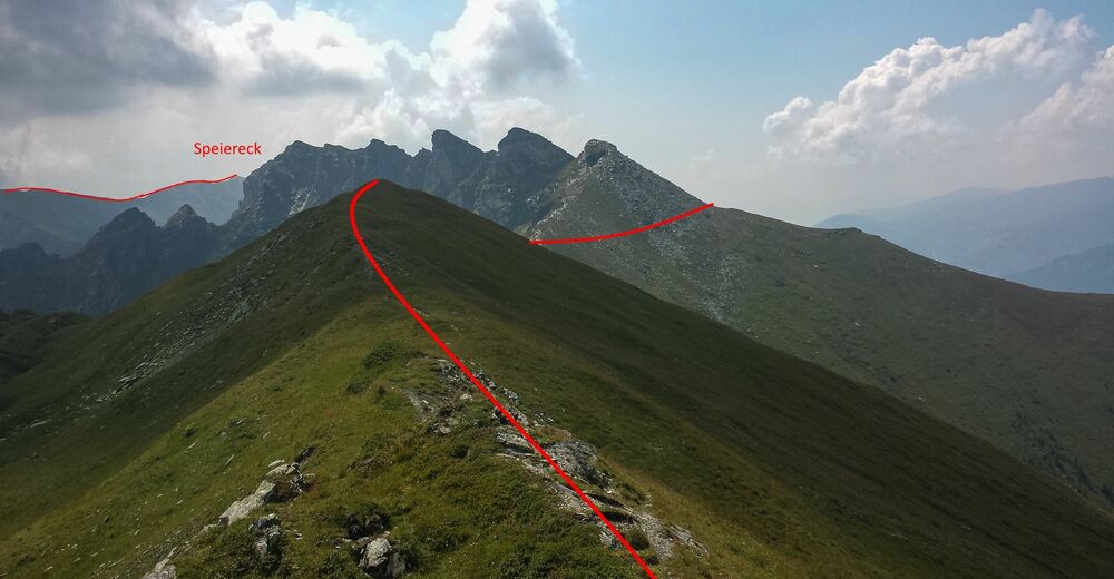
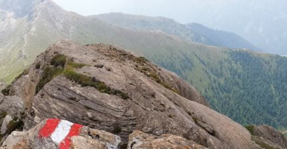
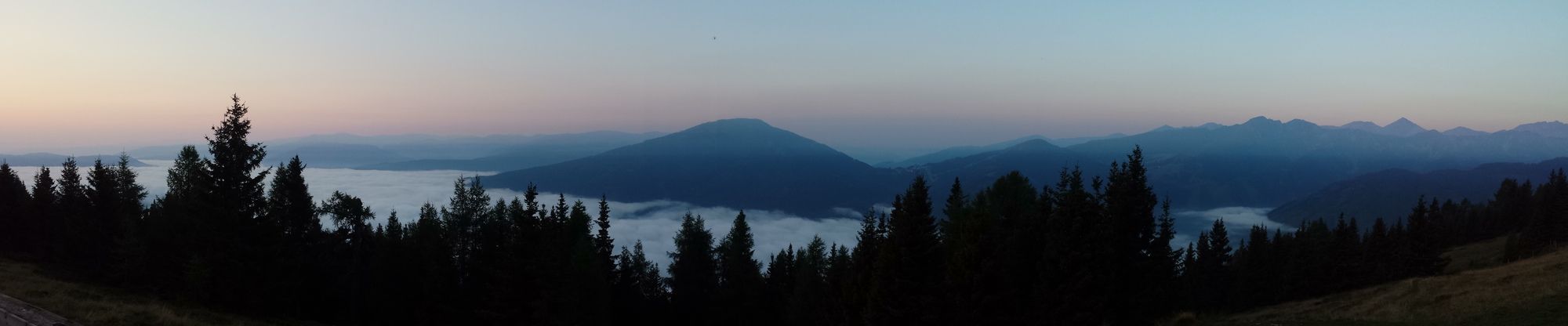
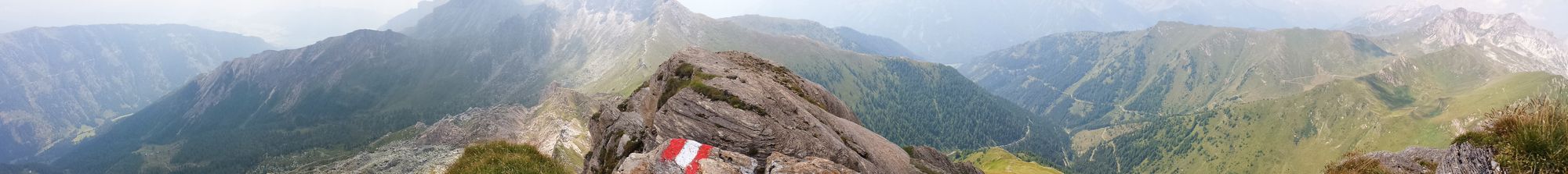
Superb hike on mountain ridges and peaks, with wonderful views of katschberg and the Western high peaks.
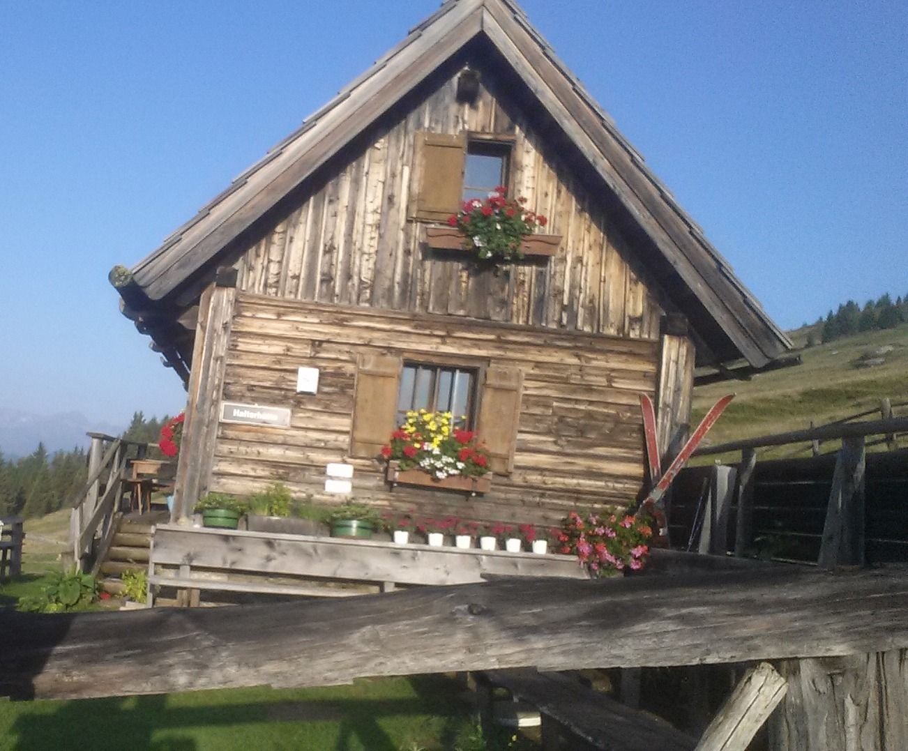
First step for me: 2h45 from parking lot (Sankt-Michael) to Halterhut, then sleep there (the hut was unattended, so I slept in my tent!).
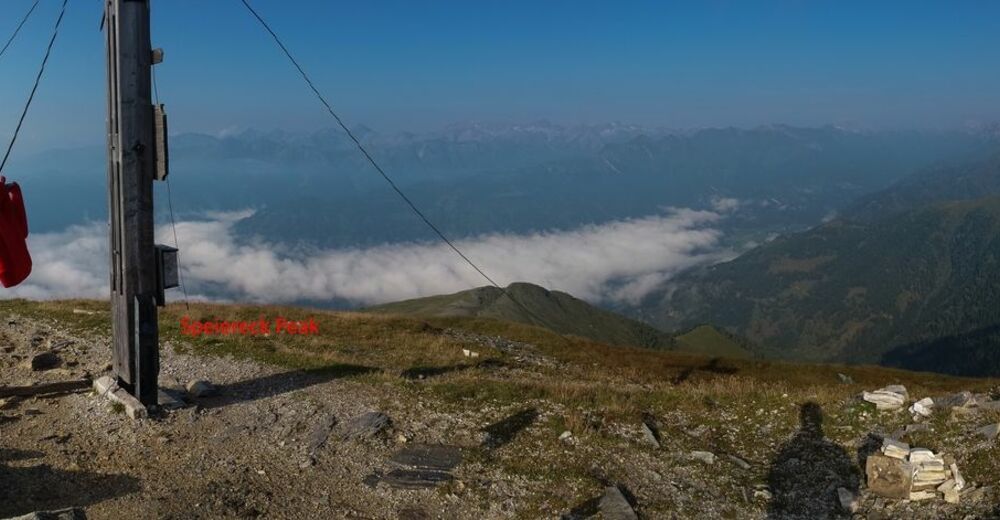
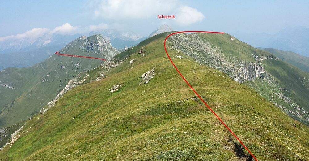
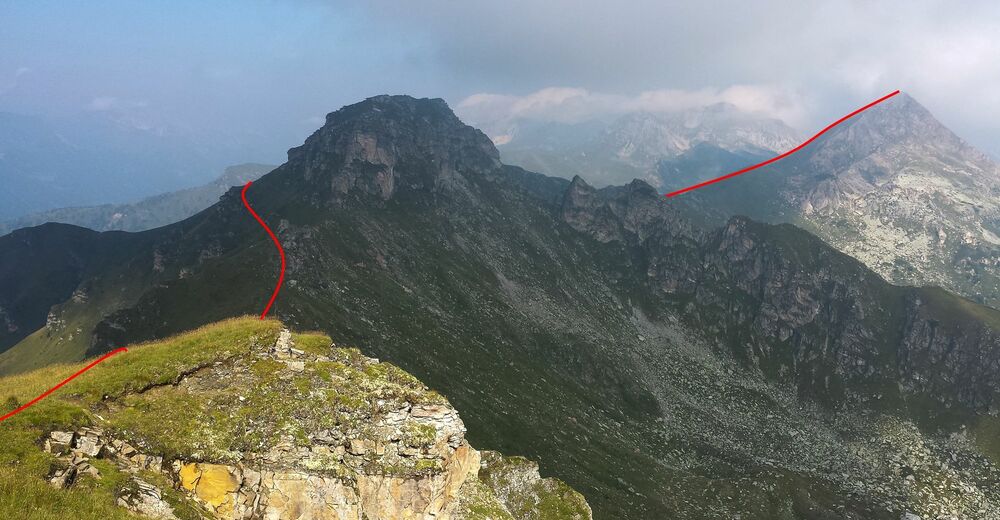
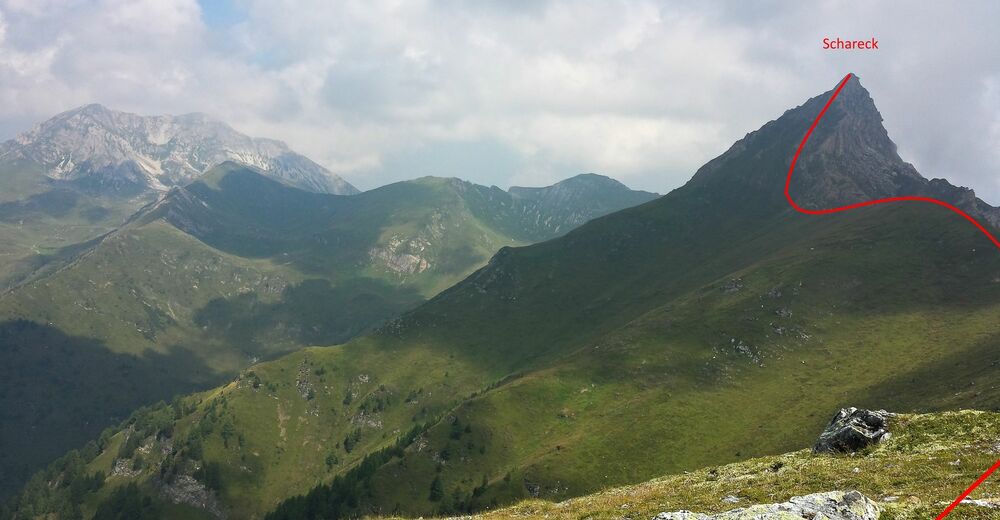
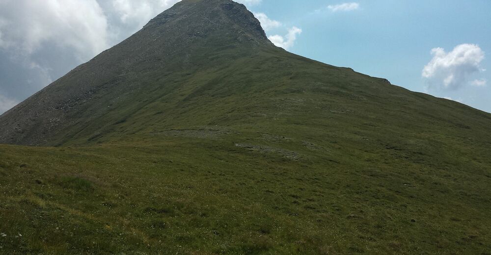
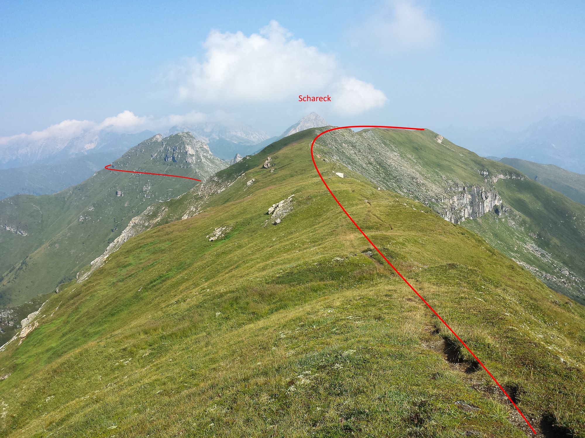
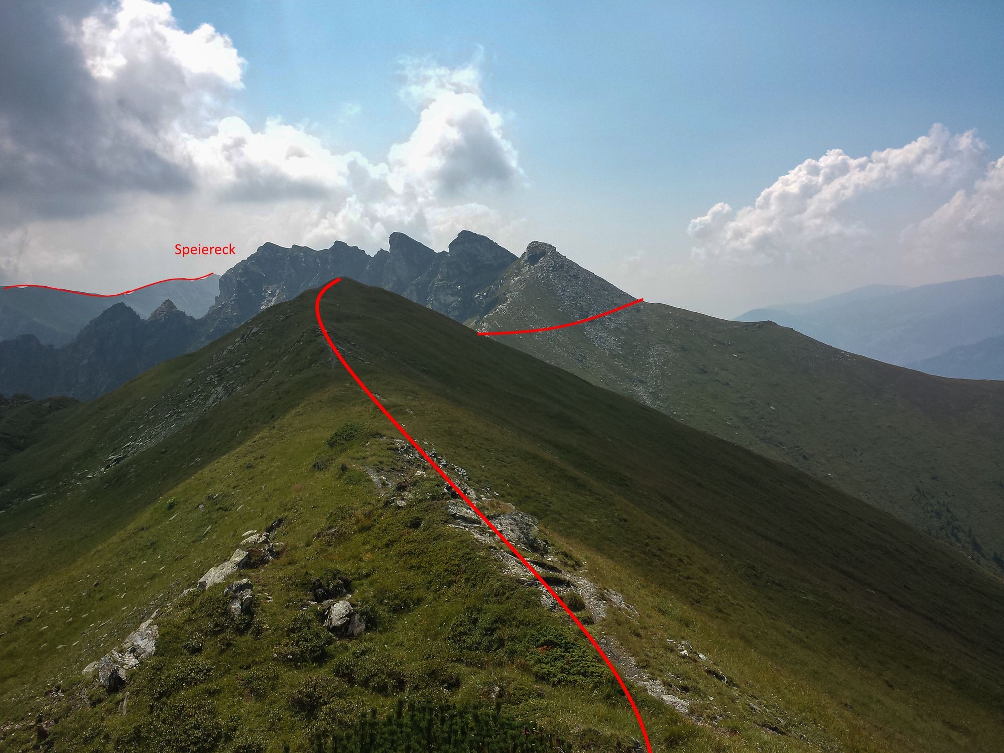
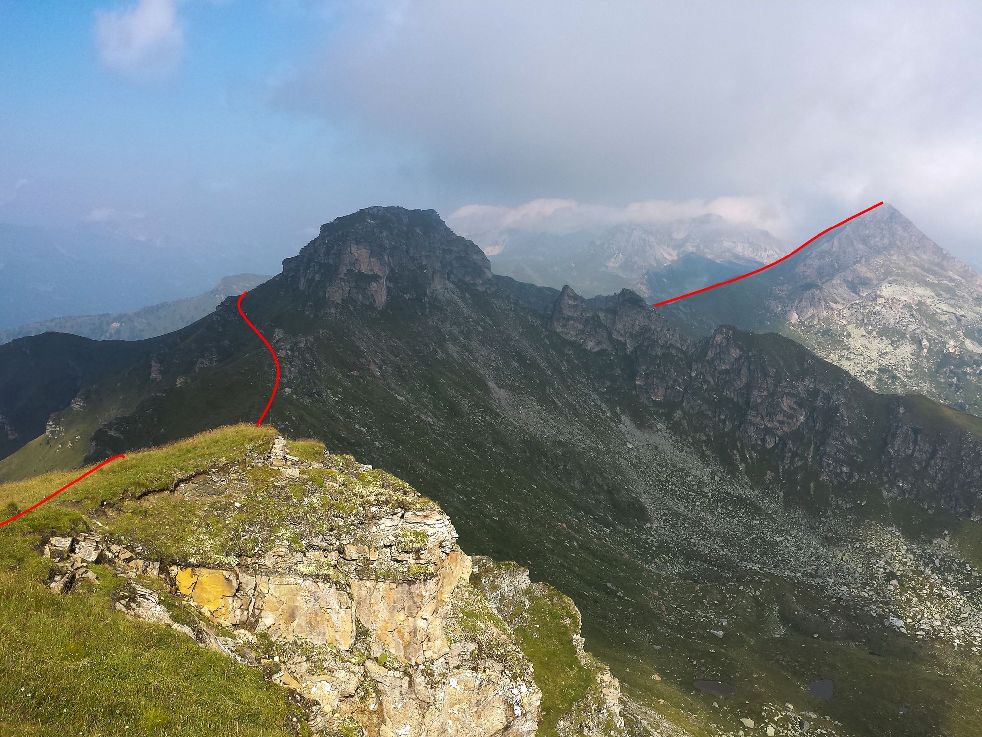
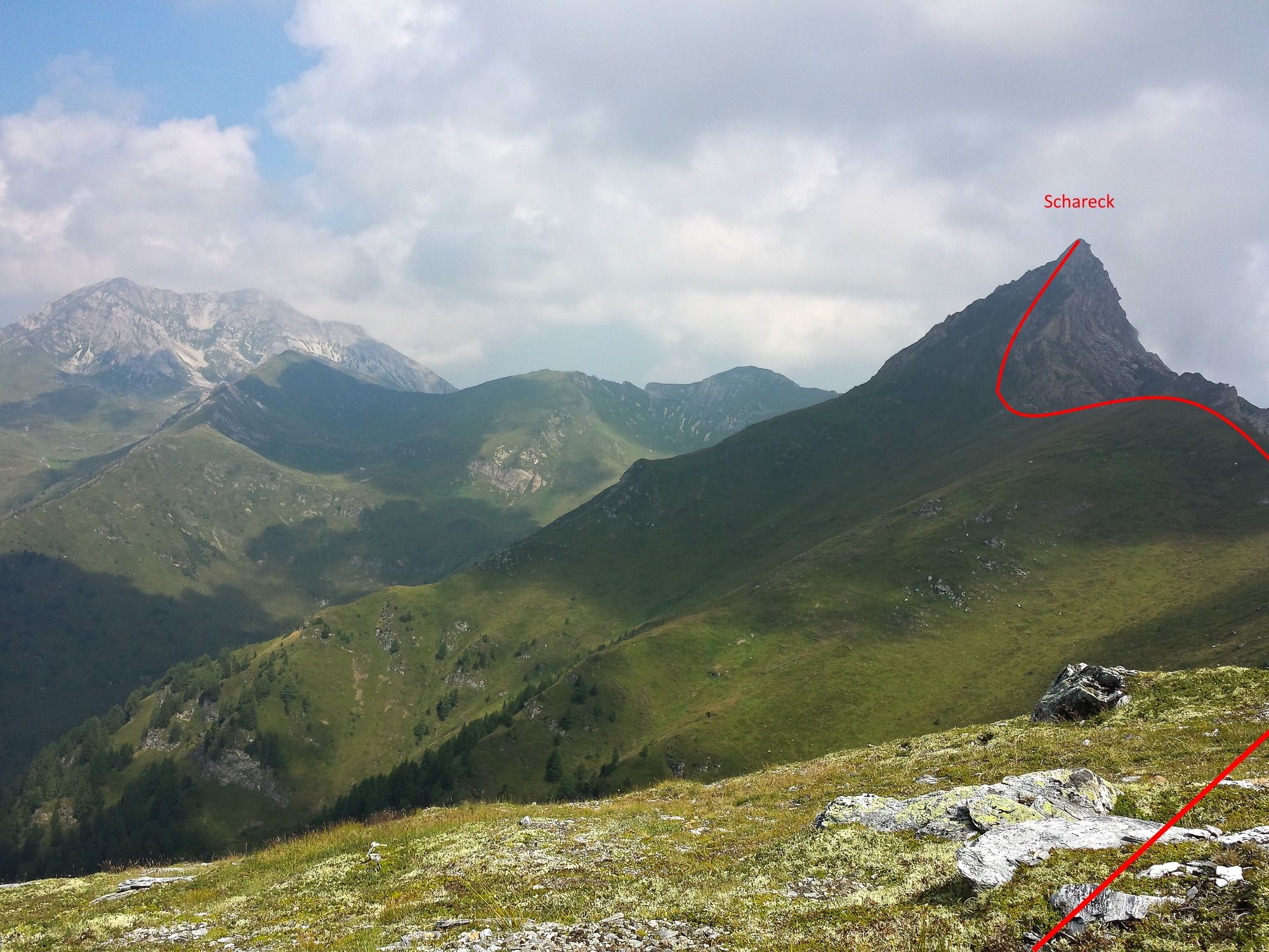
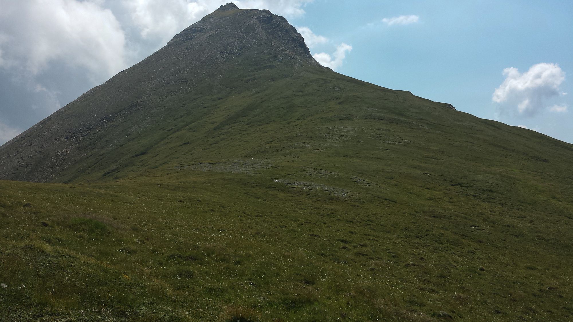
The next day, start up 1.5h to the speiereck peak, then down-up-down-up... towards the bottom of the Scharek, which looks quite scary (very steep).
But as you get closer to the Schareck, it is not as difficult as imagined. Pretty steep, yes, but pathway is OK. A few times you will need to use your hands and get close to the rock, but nothing dramatic for a moderate hiker. I am a moderate hiker and did it with a 26kg backpack.
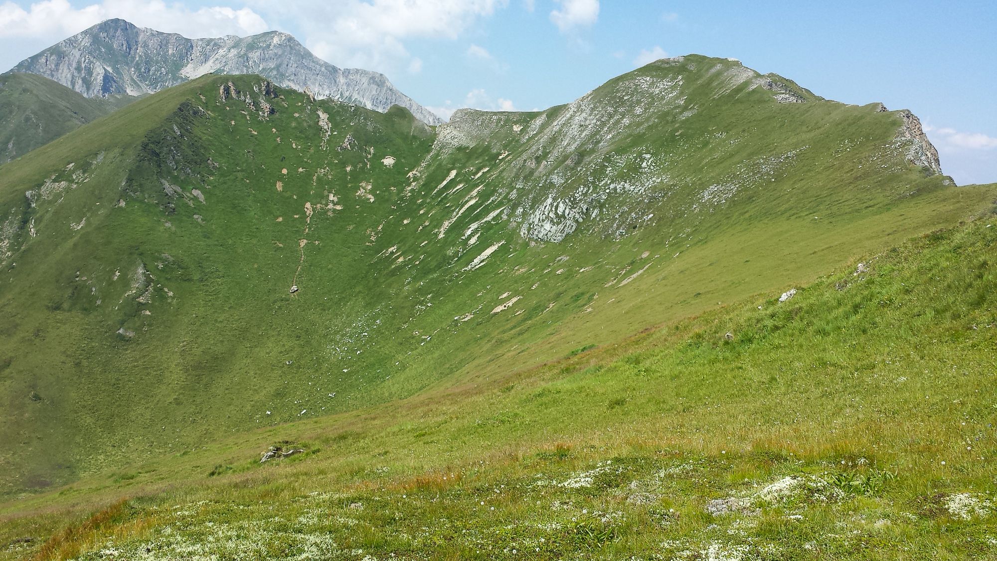
The way down from Schareck is much easier with a more gentle slope, not dangerous. At the bottom of the Schareck on its other side, you'll have the choice to continue to the Weisseneck (approx 1.5h in the distance, looks even more dramatic) or take the right turn down in the bowl towards Tweng. Down to Tweng takes approximately 2.5h non-stop, but it is a very steep path going down that will make sure that your feet are hurting all the way down.
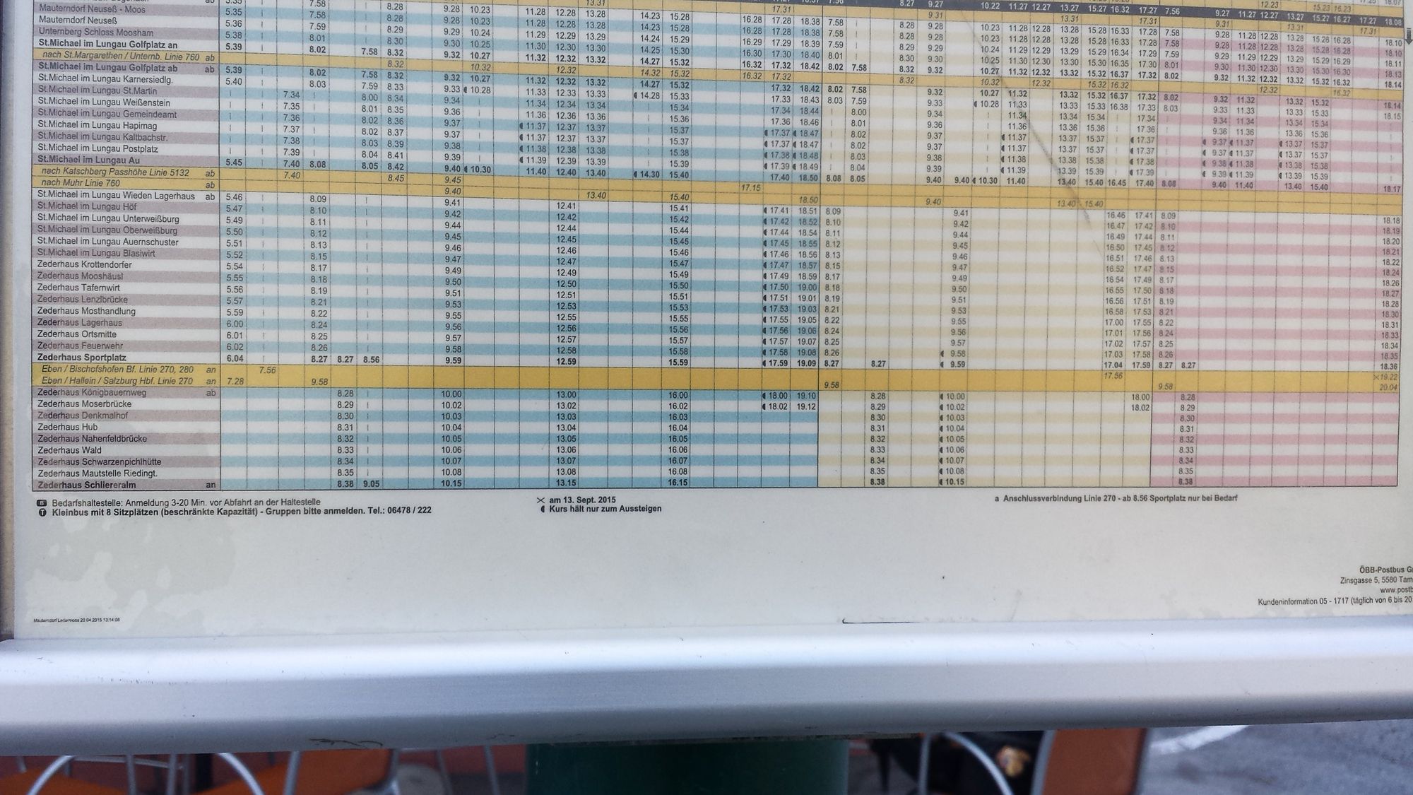
From Tweng gas station, take a bus back to sankt-michael (website: oebb.at)
No attended Huts on this path at all. - Höchster Punkt
- 2.410 m
- Literatur
-
WK202
- Öffentliche Verkehrsmittel
-
Bus 270 and 280 from Tweng to Sankt-Michael AU
- Quelle
- Jeff Dufour


Wegbeschaffenheit
-
Katschberg Lieser-Maltatal
2572
-
Obertauern
1646
-
Großeck - Speiereck
193