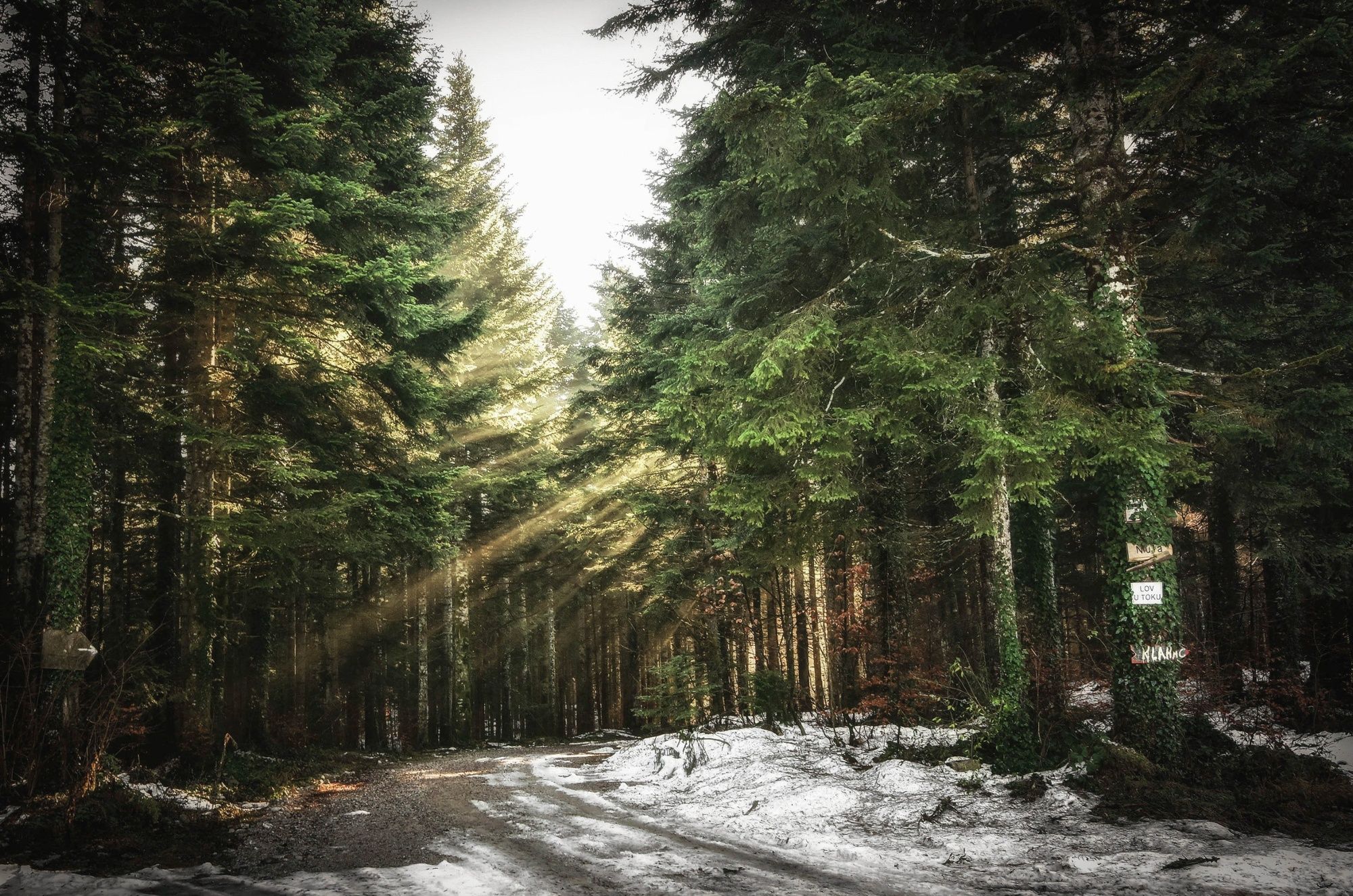
© EKO-SPORT Ključ - Vanja Hadžiavdić

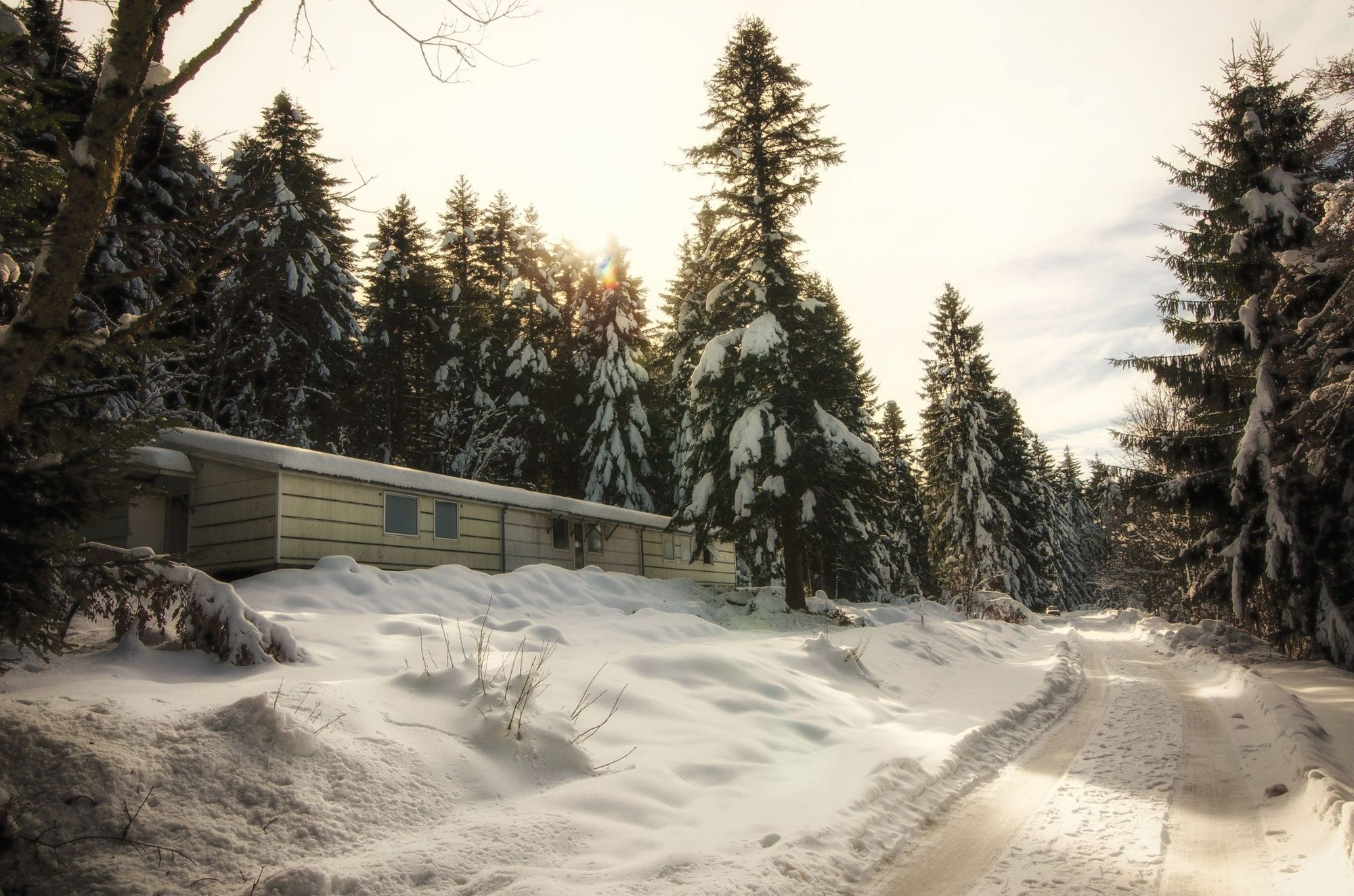
© EKO-SPORT Ključ - Vanja Hadžiavdić

- Kurzbeschreibung
-
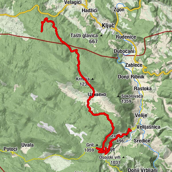
Easy and short walk connecting Ključ, mt.lodge Lanište and Ribnik.
- Schwierigkeit
-
mittel
- Bewertung
-
- Wegverlauf
-
Vučija Poljana27,8 kmBusije32,1 kmGornji Ribnik38,3 km
- Beste Jahreszeit
-
JanFebMärAprMaiJunJulAugSepOktNovDez
- Höchster Punkt
- 963 m
- Höhenprofil
-
 © outdooractive.com
-
-
AutorDie Tour BH-G Lanište - Ribnik wird von outdooractive.com bereitgestellt.