


- Kurzbeschreibung
-
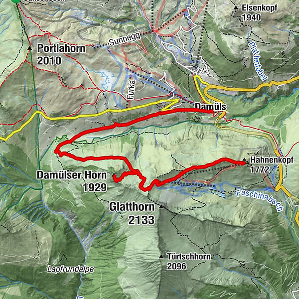
Parkplatz Stafelalpbahn - Mittelstation - Bergstation - (Damülser Horn) - Alpe Unterdamüls - Damüls
- Schwierigkeit
-
mittel
- Bewertung
-
- Ausgangspunkt
-
Parkplatz Stafelalpbahn
- Wegverlauf
-
Stafelalpe1,2 kmGlatthorn1,7 kmDamülser Horn (1.929 m)3,2 kmAlpe Unterdamüls5,5 kmDamüls (1.423 m)8,5 km
- Beste Jahreszeit
-
JanFebMärAprMaiJunJulAugSepOktNovDez
- Höchster Punkt
- 1.981 m
- Zielpunkt
-
Damüls
- Höhenprofil
-

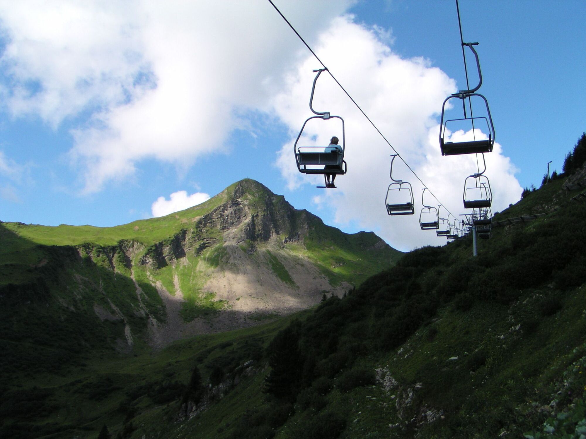
- Ausrüstung
-
Gutes Schuhwerk erforderlich!
- Sicherheitshinweise
- Zusatzinfos
- Anreise
- Öffentliche Verkehrsmittel
- Parken
-
Bei der Stafelalpbahn in Faschina
-

-
AutorDie Tour Damüls Faschina | Von Faschina nach Damüls wird von outdooractive.com bereitgestellt.
GPS Downloads


Allgemeine Infos
Einkehrmöglichkeit
Flora
Fauna
Aussichtsreich
Weitere Touren in den Regionen
-
St. Gallen - Bodensee
2066
-
Biosphärenpark Großes Walsertal
2006
-
Damüls
576


