© http://www.jasna.sk/bike-world-jasna/trate/

- Kurzbeschreibung
-
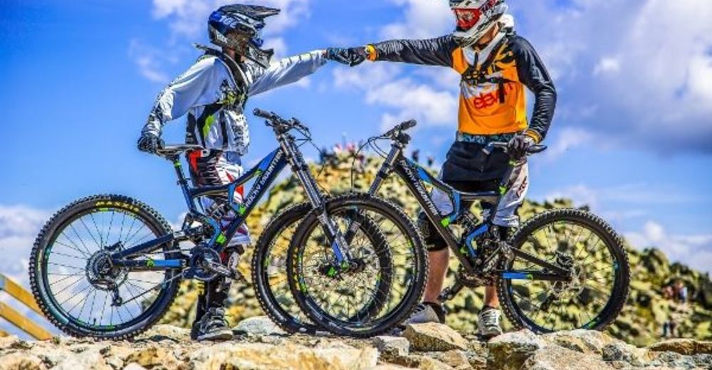
FROM EASY TO MEDIUM DIFFICULT TRAVERSE TRAIL
- Schwierigkeit
-
mittel
- Wegverlauf
-
Reštaurácia RotundaVon Roll Luková1,7 kmRovná Hoľa (1.491 m)2,5 km
- Beste Jahreszeit
-
JanFebMärAprMaiJunJulAugSepOktNovDez
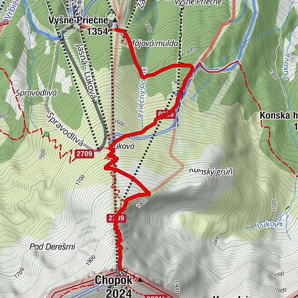
- Höchster Punkt
- 1.981 m
- Zielpunkt
-
Priehyba or it's possible to continue along the trail BOTTOM FLATLINE towards Záhradky (the 6-seater chair lift bottom station)
- Höhenprofil
-
 © outdooractive.com
-
-
AutorDie Tour Bike World Jasná - SUMMIT FLATLINE wird von outdooractive.com bereitgestellt.