Aosta - Chiesa parrocchiale di Santo Stefano - Grotta "Je te salue"
schwer
Navigieren
Navigieren
Hol diese Tour auf dein Handy
Aosta - Chiesa parrocchiale di Santo Stefano - Grotta "Je te salue"
schwer
Mountainbike
56,25
km
QR-Code scannen und Navigation in der bergfex App beginnen

Wandern & Tracking


Aosta - Chiesa parrocchiale di Santo Stefano - Grotta "Je te salue"
schwer
Distanz
56,25
km
Dauer
04:48
h
Aufstieg
1.341
hm
Seehöhe
574 -
1.334
m
Track-Download
Aosta - Chiesa parrocchiale di Santo Stefano - Grotta "Je te salue"
schwer
Mountainbike
56,25
km
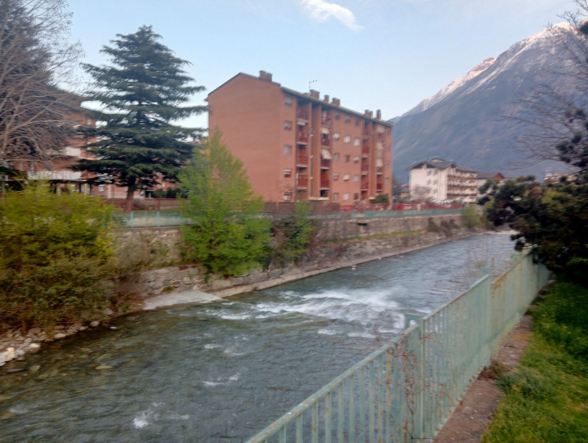
Fotos unserer User
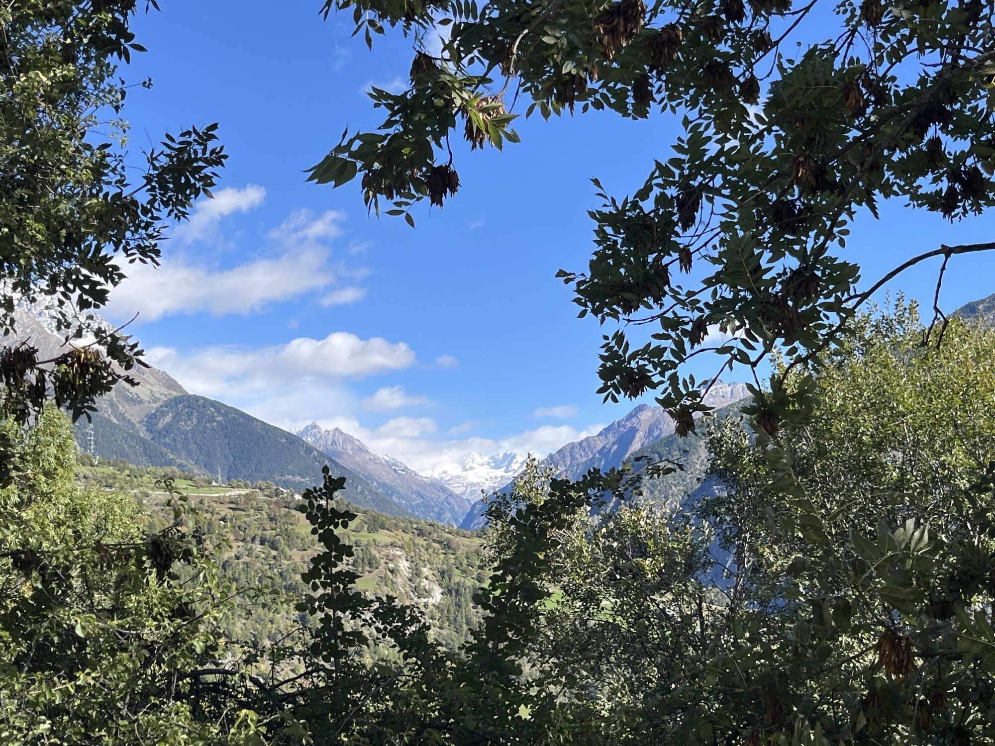
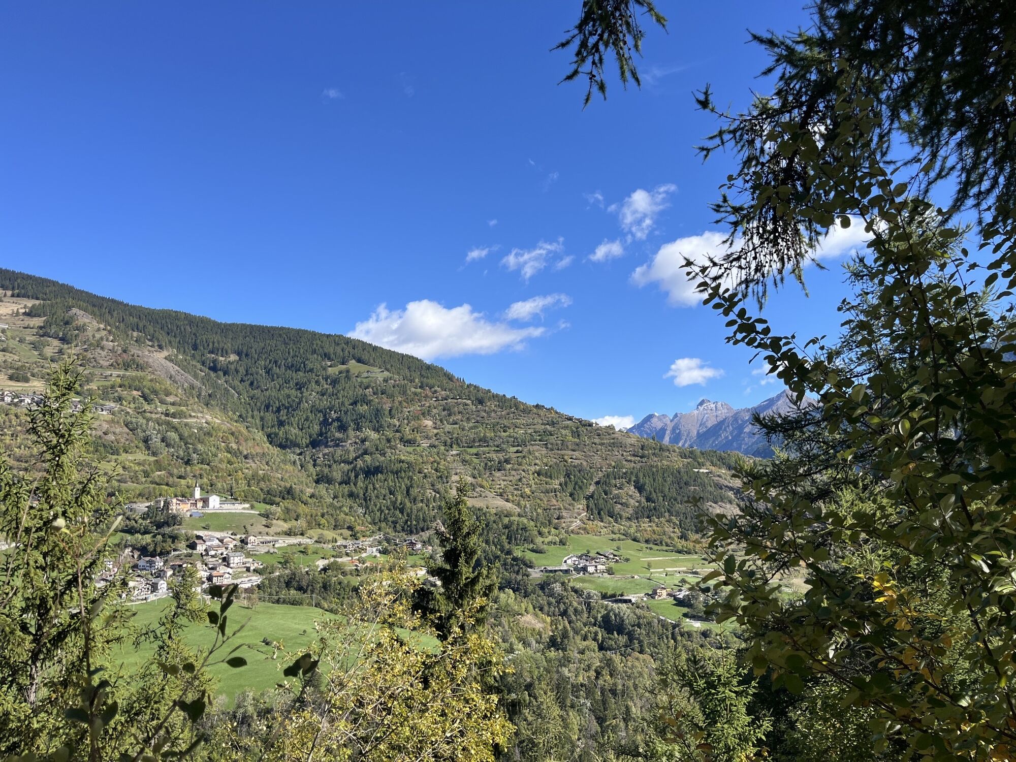
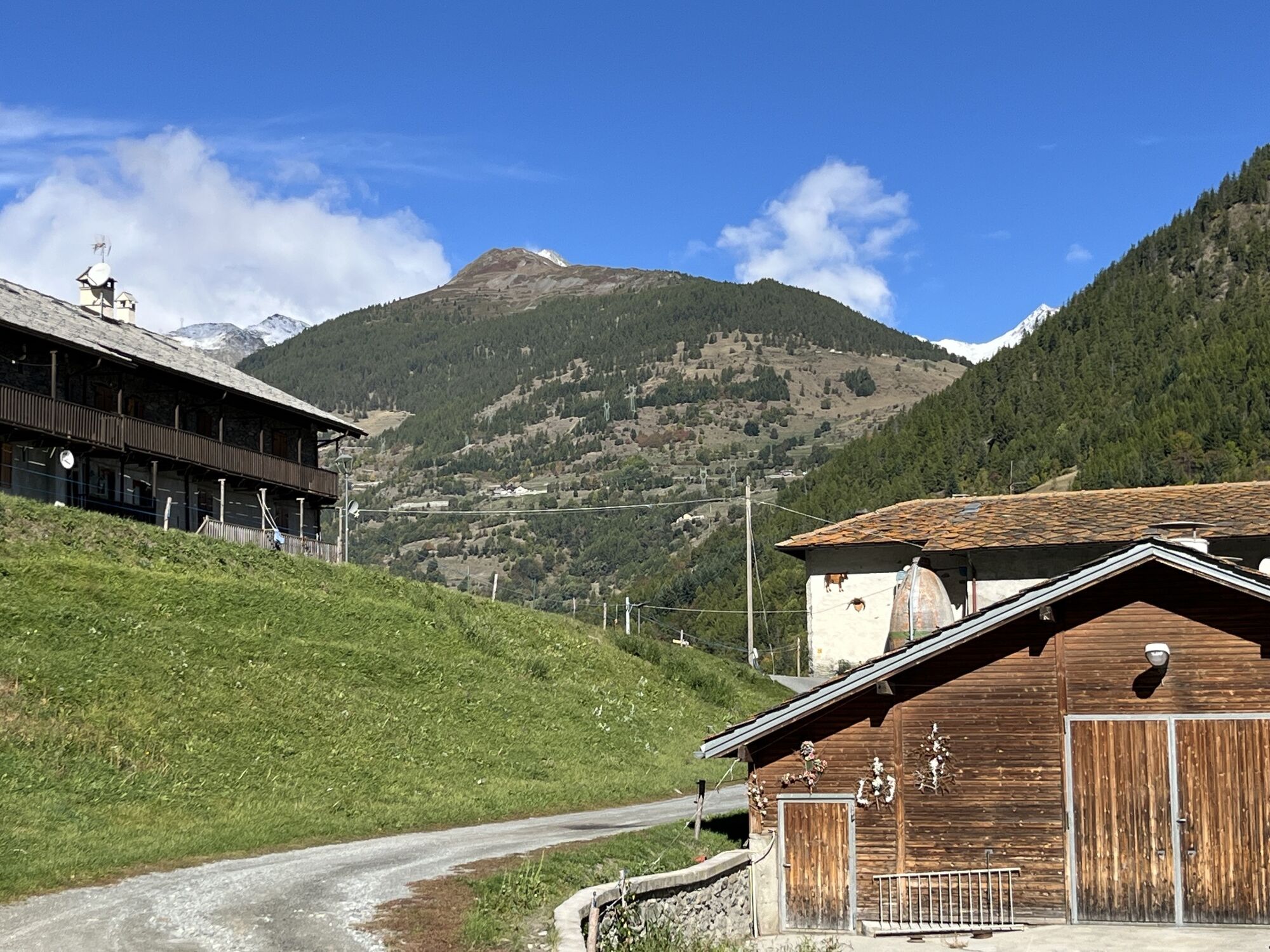
 © Alistair LippErstellt am 05.10.2025
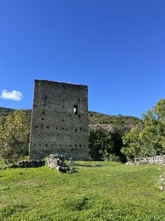 © Alistair LippErstellt am 05.10.2025
 © Alistair LippErstellt am 05.10.2025
 © Alistair LippErstellt am 05.10.2025
 © Alistair LippErstellt am 05.10.2025
 © Alistair LippErstellt am 05.10.2025
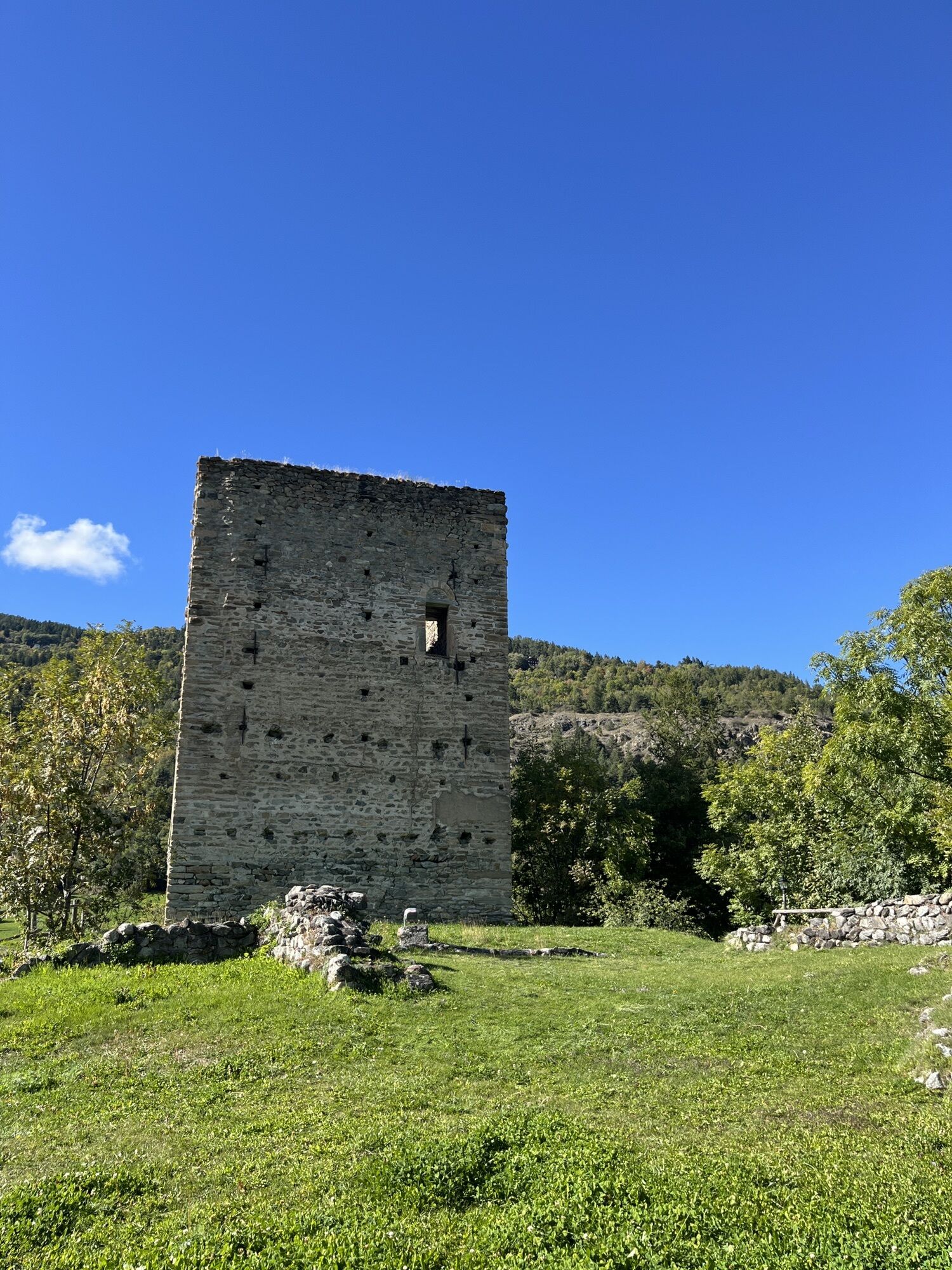
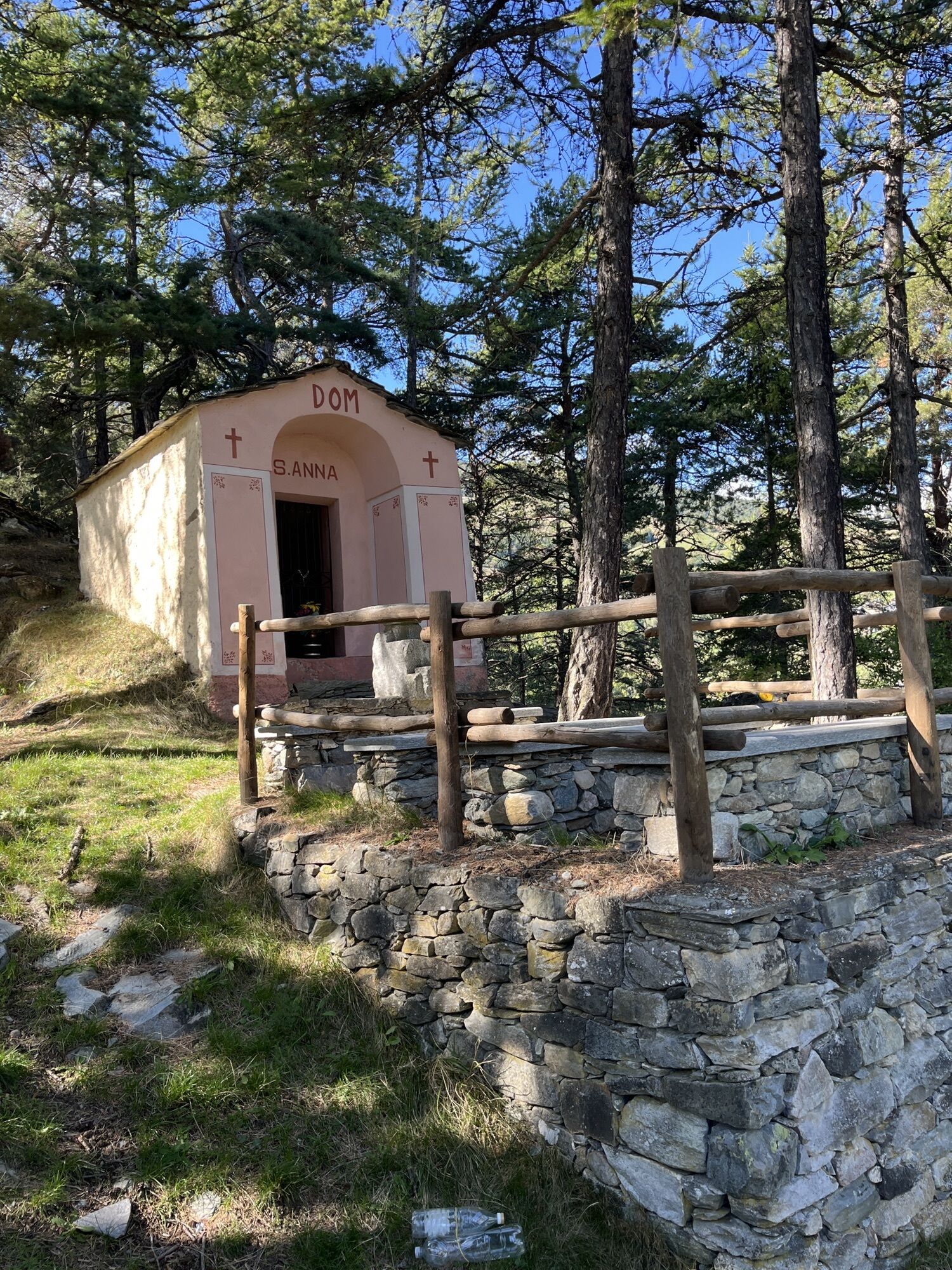
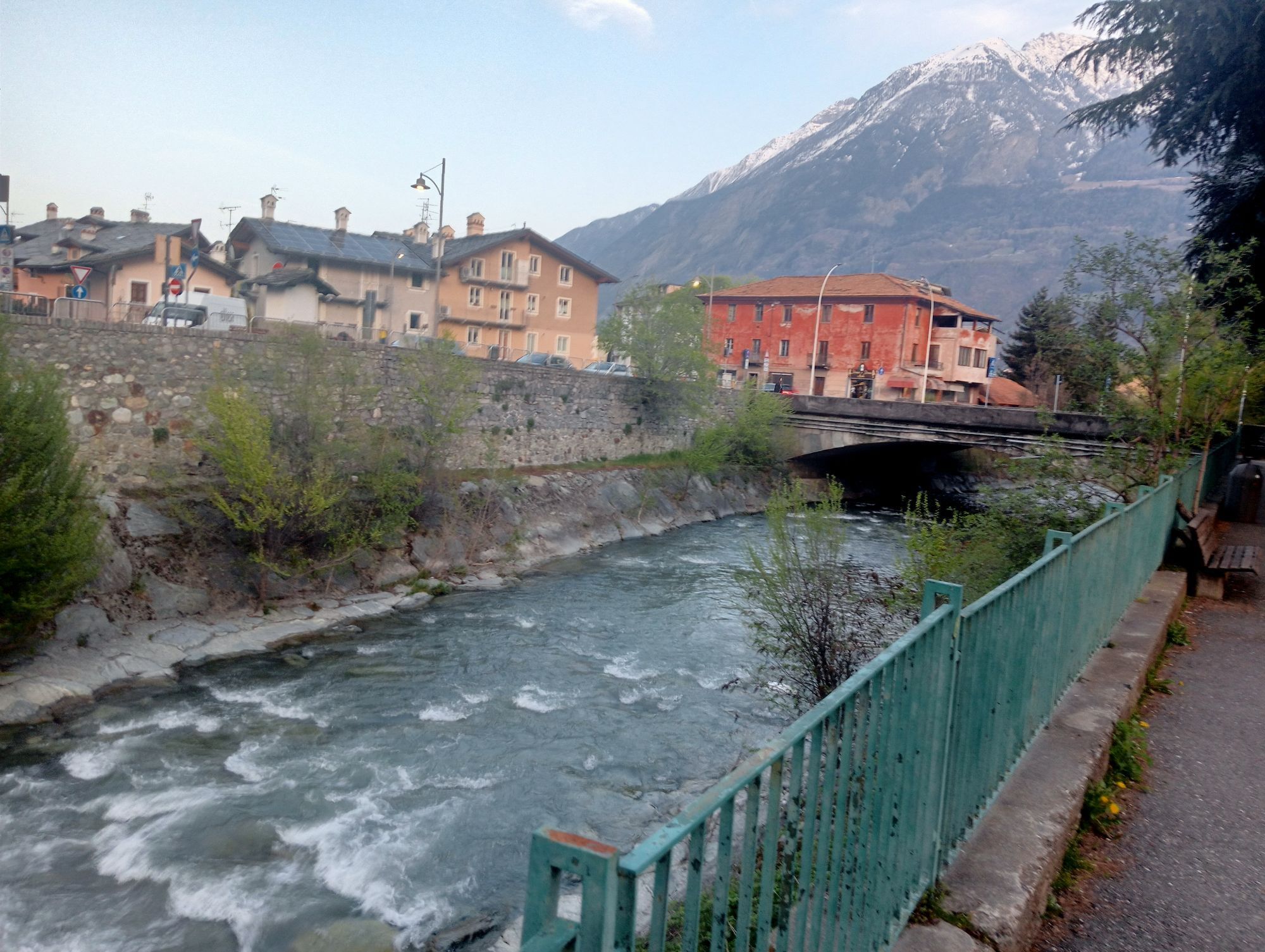
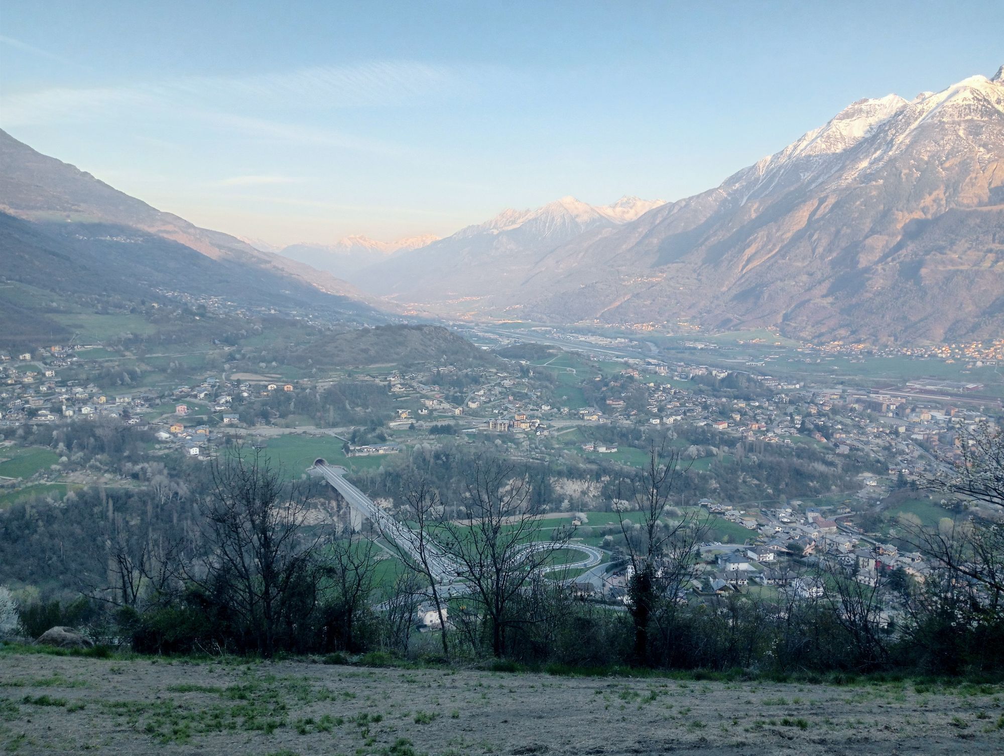
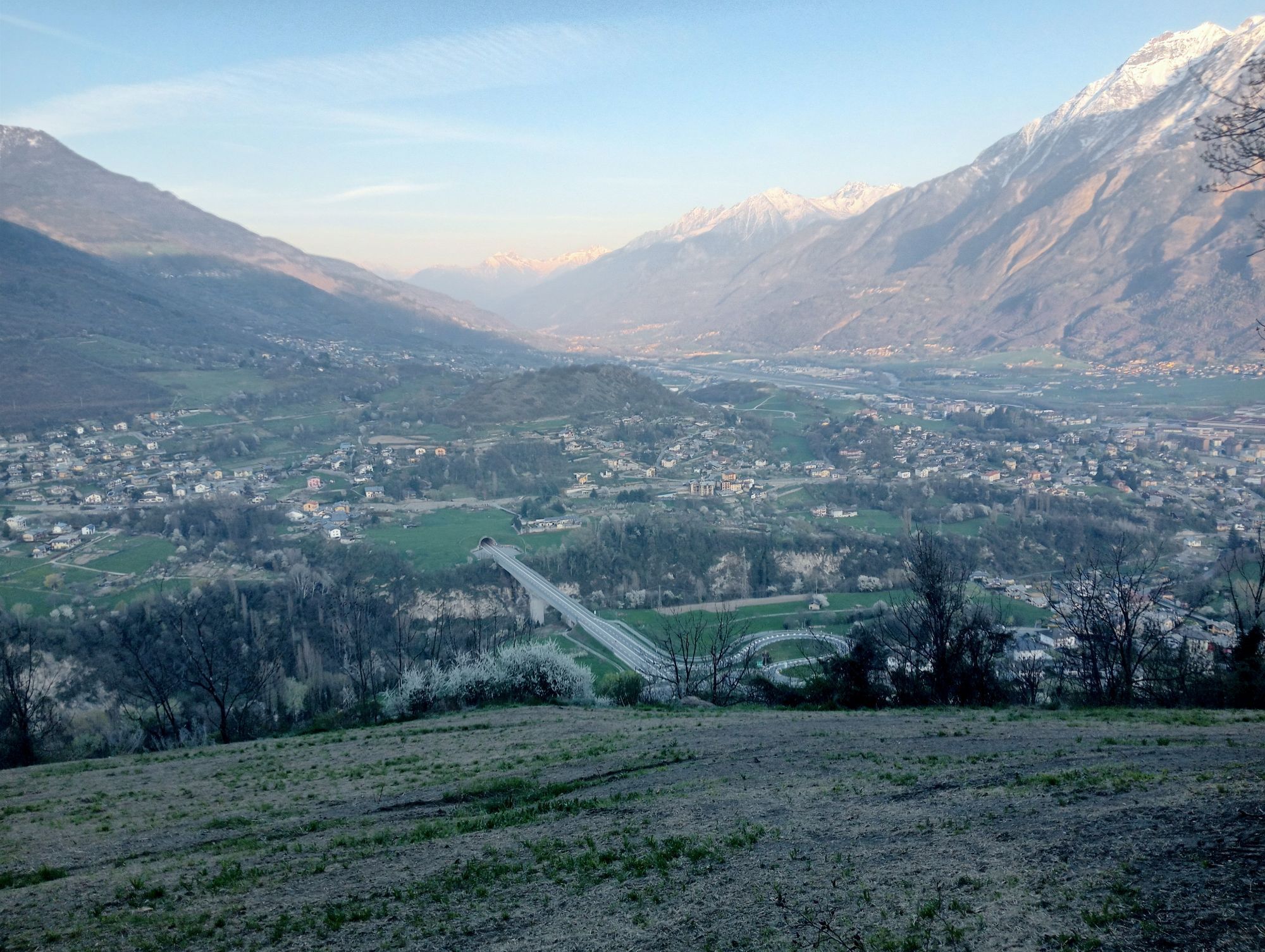
 © simone ravasiErstellt am 08.04.2025
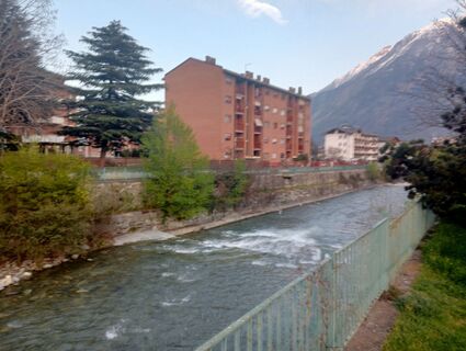 © simone ravasiErstellt am 08.04.2025
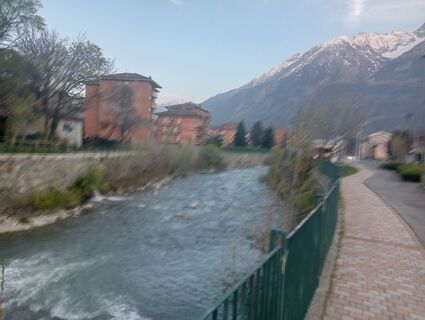 © simone ravasiErstellt am 08.04.2025
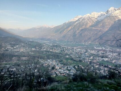 © simone ravasiErstellt am 08.04.2025
 © simone ravasiErstellt am 08.04.2025
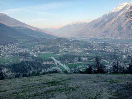 © simone ravasiErstellt am 08.04.2025


Wegverlauf
Aosta
(583 m)
Stadt
0,6 km
Le Moulin
(774 m)
Siedlung
8,6 km
Chiesa parrocchiale di Santo Stefano
(1.250 m)
Andachtsstätte
21,6 km
Cappella di Echevennoz
(1.230 m)
Andachtsstätte
28,4 km
Grotta "Je te salue"
(1.222 m)
Andachtsstätte
33,2 km
Aosta
(583 m)
Stadt
41,0 km
Cré
(901 m)
Siedlung
44,6 km
Wegverlauf
Aosta - Chiesa parrocchiale di Santo Stefano - Grotta "Je te salue"
schwer
Mountainbike
56,25
km
Aosta
(574 m)
Bahnhof
0,0 km
Aosta
(574 m)
Bahnhof
0,2 km
Aosta
(583 m)
Stadt
0,6 km
Porossan-La Combaz
(631 m)
Siedlung
2,4 km
Porossan-Les Arsins
(655 m)
Siedlung
2,8 km
Porossan-Le Papet
(682 m)
Siedlung
3,3 km
Porossan-La Chapelle
(713 m)
Siedlung
3,4 km
Porossan-Les Neyves
(733 m)
Siedlung
3,8 km
Porossan-Cache
(761 m)
Siedlung
4,3 km
Closellinaz Inferiore
(727 m)
Siedlung
5,4 km
Closellinaz Superiore
(789 m)
Siedlung
5,6 km
Massinod
(777 m)
Siedlung
7,5 km
Roisan
(870 m)
Dorf
8,0 km
Champapon
(771 m)
Siedlung
8,2 km
Pista
(751 m)
Flur/Gelände
8,3 km
Le Moulin
(774 m)
Siedlung
8,6 km
Clavallaz
(786 m)
Siedlung
8,7 km
Rhins
(785 m)
Siedlung
9,1 km
Collin
(785 m)
Siedlung
9,2 km
Chaviller
(793 m)
Siedlung
9,4 km
Fabbrica - La Fabrique
(898 m)
Siedlung
12,4 km
Liarey
(903 m)
Siedlung
12,4 km
Chez le Chuc
(920 m)
Siedlung
12,7 km
Valpelline
(960 m)
Dorf
12,9 km
Vignettes
(994 m)
Siedlung
13,3 km
Souverou
(1.019 m)
Siedlung
13,3 km
Moulaz
(971 m)
Siedlung
13,3 km
Le Cumet
(947 m)
Siedlung
13,5 km
Chez-Les-Bovet
(940 m)
Siedlung
13,6 km
Arliod
(965 m)
Siedlung
13,8 km
Javiod
(1.134 m)
Siedlung
16,2 km
Doues
(1.176 m)
Dorf
16,8 km
Le Relais de la Grandze
(1.177 m)
Restaurant
16,9 km
Crête
(1.196 m)
Siedlung
17,8 km
Le Martinet
(1.298 m)
Siedlung
19,3 km
Frein
(1.191 m)
Siedlung
21,6 km
Allein
(1.190 m)
Dorf
21,6 km
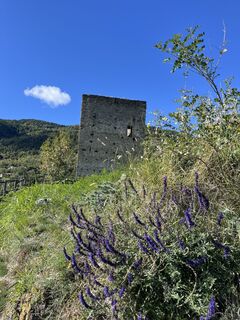
Chiesa parrocchiale di Santo Stefano
(1.250 m)
Andachtsstätte
21,6 km
Le Plan-de-Clavel (chef-lieu)
(1.252 m)
Siedlung
21,7 km
Clavel
(1.214 m)
Siedlung
21,7 km
Chez-Norat
(1.186 m)
Siedlung
21,7 km
La Vallettaz
(1.252 m)
Siedlung
21,9 km
Cerisey
(1.404 m)
Siedlung
25,0 km
Vachéry
(1.333 m)
Siedlung
25,5 km
Le Créton
(1.318 m)
Siedlung
25,6 km
Étroubles
(1.264 m)
Dorf
26,5 km
Trattoria Marietty
(1.231 m)
Restaurant
28,4 km
Échevennoz-Dessus
(1.233 m)
Siedlung
28,4 km
Cappella di Echevennoz
(1.230 m)
Andachtsstätte
28,4 km
Échevennoz-Dessous
(1.208 m)
Siedlung
28,5 km
Chez-les-Blanc-Dessous
(1.211 m)
Siedlung
28,8 km
Chez-les-Blanc-Dessus
(1.245 m)
Siedlung
29,0 km
Clusaz
(1.200 m)
Siedlung
30,2 km
La Clusaz
(1.203 m)
Restaurant
30,2 km
Pre de Bois Desot
(1.248 m)
Siedlung
30,5 km
Pre De Bois Damon
(1.277 m)
Siedlung
31,2 km
Grotta "Je te salue"
(1.222 m)
Andachtsstätte
33,2 km
La Colière
(1.239 m)
Siedlung
34,2 km
Pierre-Besse
(1.178 m)
Siedlung
34,2 km
Champorcher
(1.135 m)
Siedlung
34,5 km
Peroulaz Desot
(1.244 m)
Siedlung
35,2 km
Peroulaz Damon
(1.279 m)
Siedlung
35,4 km
Roisod
(1.186 m)
Siedlung
36,5 km
Flèod Desot
(1.250 m)
Siedlung
37,6 km
Avie damon
(1.222 m)
Siedlung
38,3 km
Avie dèsot
(1.147 m)
Siedlung
39,0 km
Arpuilles
(1.013 m)
Dorf
40,9 km
Aosta
(583 m)
Stadt
41,0 km
Entrebin
(996 m)
Siedlung
42,1 km
Les Maisonnettes
(986 m)
Siedlung
43,4 km
Cré
(901 m)
Siedlung
44,6 km
Ristorante Pizzeria Bellevue
(926 m)
Restaurant
44,8 km
Caravex
(928 m)
Siedlung
44,8 km
Gignod
(988 m)
Dorf
45,2 km
Chez-Courtil
(880 m)
Siedlung
45,8 km
Le Gorrey
(861 m)
Siedlung
45,9 km
Chez-Roux
(815 m)
Siedlung
46,7 km
Roven
(826 m)
Siedlung
47,1 km
Clavallaz
(786 m)
Siedlung
47,5 km
Le Moulin
(774 m)
Siedlung
47,6 km
Pista
(751 m)
Flur/Gelände
47,9 km
Champapon
(771 m)
Siedlung
48,0 km
Roisan
(870 m)
Dorf
48,2 km
Martinet
(826 m)
Siedlung
48,7 km
Massinod
(777 m)
Siedlung
48,7 km
Closellinaz Superiore
(789 m)
Siedlung
50,6 km
Closellinaz Inferiore
(727 m)
Siedlung
50,8 km
Porossan-Cache
(761 m)
Siedlung
51,9 km
Porossan-Les Neyves
(733 m)
Siedlung
52,4 km
Porossan-Le Papet
(682 m)
Siedlung
52,8 km
Porossan-La Chapelle
(713 m)
Siedlung
52,8 km
Porossan-Les Arsins
(655 m)
Siedlung
53,3 km
Porossan-Le Movisod
(675 m)
Siedlung
53,6 km
Porossan-La Combaz
(631 m)
Siedlung
53,7 km
Porossan-Roppoz
(642 m)
Siedlung
54,1 km
Aosta
(583 m)
Stadt
55,7 km
Aosta
(574 m)
Bahnhof
56,0 km
Aosta
(574 m)
Bahnhof
56,2 km
Noch keine Bewertungen
Beliebte Touren in der Nähe
- 4,7
Monte Flassin
leichtSkitour 14,6 km - 5,0
Via Francigena - vom grossen Sankt Bernhard nach Rom
mittelWanderung 23,6 km - 5,0
Grand Chenalette, Pointe de Drone Rundwanderung
schwerWanderung 6,01 km Pila mit Wanderung Chamolé und Trailpark
mittelE-MTB 29,8 km- 5,0
Goldtoni - Alpenbogen A064 Col du Grand Saint Bernard-Cerellaz
schwerFernwanderweg 33,2 km Bourg-Saint-Pierre - Hôtel de l'Hospice - Hospice du Grand Saint-Bernard - Mont Fourchon
mittelSkitour 8,59 kmEntlang der Wasserrinne zur Senke von By und Mont Gelé
schwerE-MTB 28,2 kmVurvian - Brissogne - Fauve - Vurvian
leichtWanderung 12 kmCanale delle Sirene ??
schwerSkitour 9,95 kmVia Francigena Etappe 2
mittelWanderung 26,2 km
Wandern & Tracking

Über 550.000 Tourenvorschläge, detailliertes Kartenmaterial und ein intuitiver Routenplaner machen die App zum Must-have für alle Naturbegeisterten.

Verpasse keine Angebote und Inspirationen für deinen nächsten Urlaub
Zum Newsletter anmelden
Fehler
Ein Fehler ist aufgetreten. Bitte versuche es erneut.Vielen Dank für deine Anmeldung
Deine E-Mail-Adresse wurde in den Verteiler eingetragen.
Touren in ganz Europa
Österreich Schweiz Deutschland Italien Slowenien Frankreich Niederlande Belgien Polen Liechtenstein Tschechien Slowakei Spanien Kroatien Bosnien und Herzegowina Luxemburg Andorra Portugal Island Vereinigtes Königreich Irland Griechenland Albanien Nordmazedonien Malta Norwegen Montenegro Moldau Kosovo Ungarn San Marino Rumänien Estland Lettland Belarus Zypern Litauen Serbien Bulgarien Monaco Dänemark Schweden Finnland