
Aosta - Aoste - Chiesa parrocchiale di San Lorenzo - Chapelle Jean Paul II - Bourg-Saint-Maurice
schwer
Hol diese Tour auf dein Handy
Aosta - Aoste - Chiesa parrocchiale di San Lorenzo - Chapelle Jean Paul II - Bourg-Saint-Maurice
schwer
Rennrad
79,70
km
QR-Code scannen und Navigation in der bergfex App beginnen


Wandern & Tracking





Aosta - Aoste - Chiesa parrocchiale di San Lorenzo - Chapelle Jean Paul II - Bourg-Saint-Maurice
schwer
Distanz
79,7
km
Dauer
04:35
h
Aufstieg
1.879
hm
Seehöhe
572 -
2.191
m

Navigiere deine Tour in der App
Installiere die App kostenlos und behalte die Strecke im Blick, mit GPS-Navigation und Tracking.
Nutze bergfex jetzt in der App
Scanne den QR-Code mit deiner Kamera
Ist die App installiert, öffnet sich der Inhalt direkt. Hast du die App noch nicht, gelangst du zum kostenlosen Download.
Track-Download
Aosta - Aoste - Chiesa parrocchiale di San Lorenzo - Chapelle Jean Paul II - Bourg-Saint-Maurice
schwer
Rennrad
79,70
km
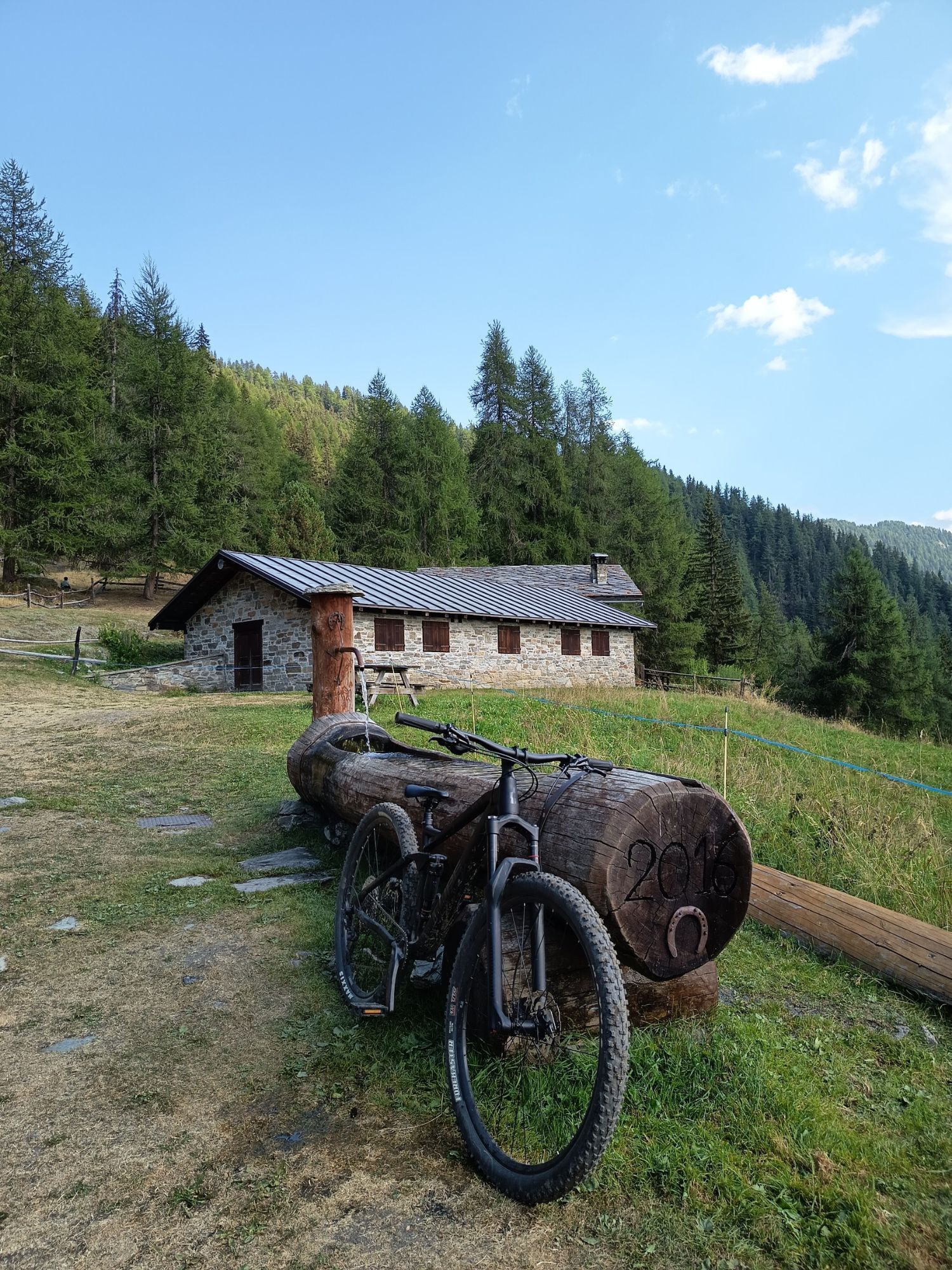
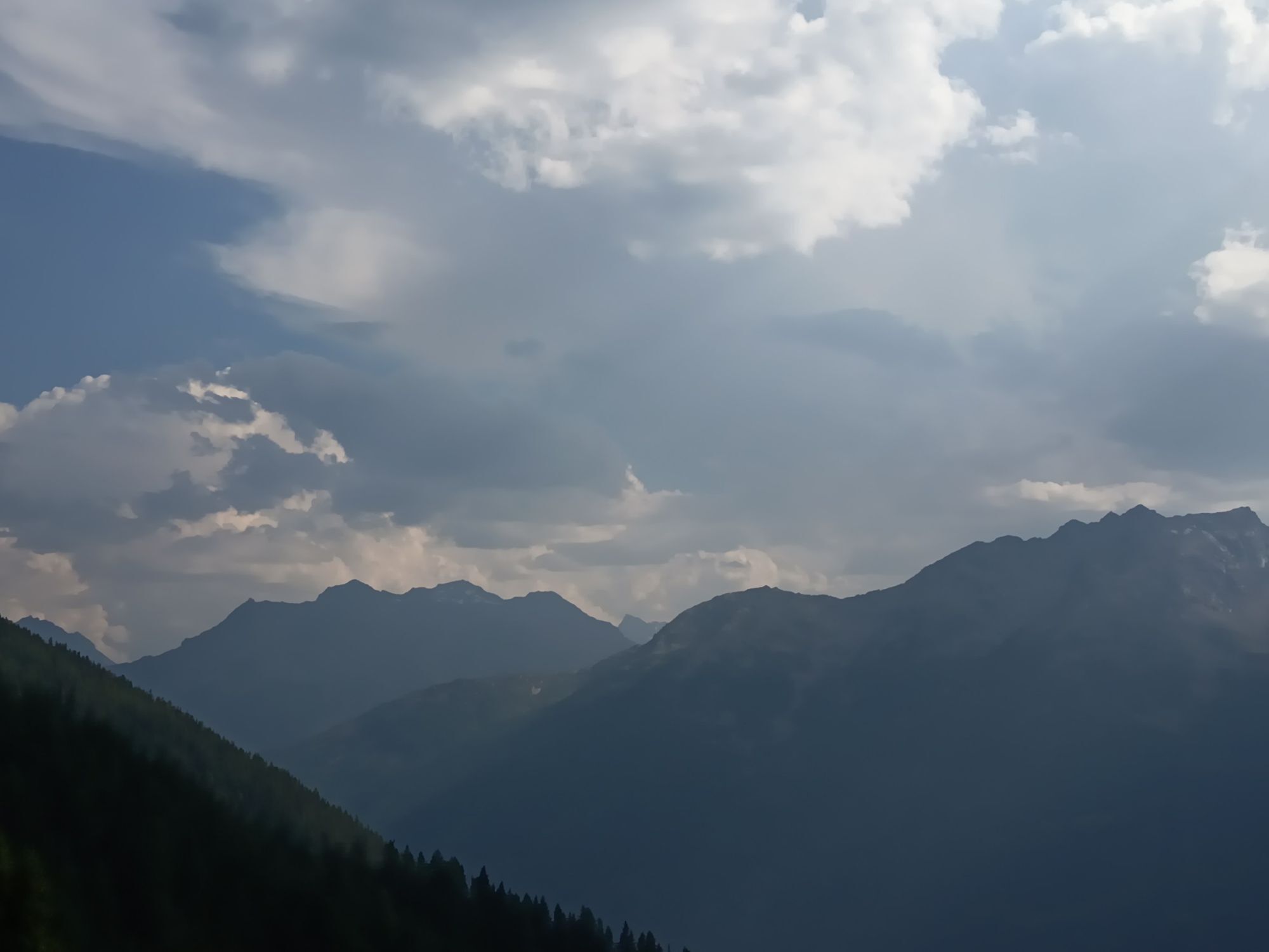
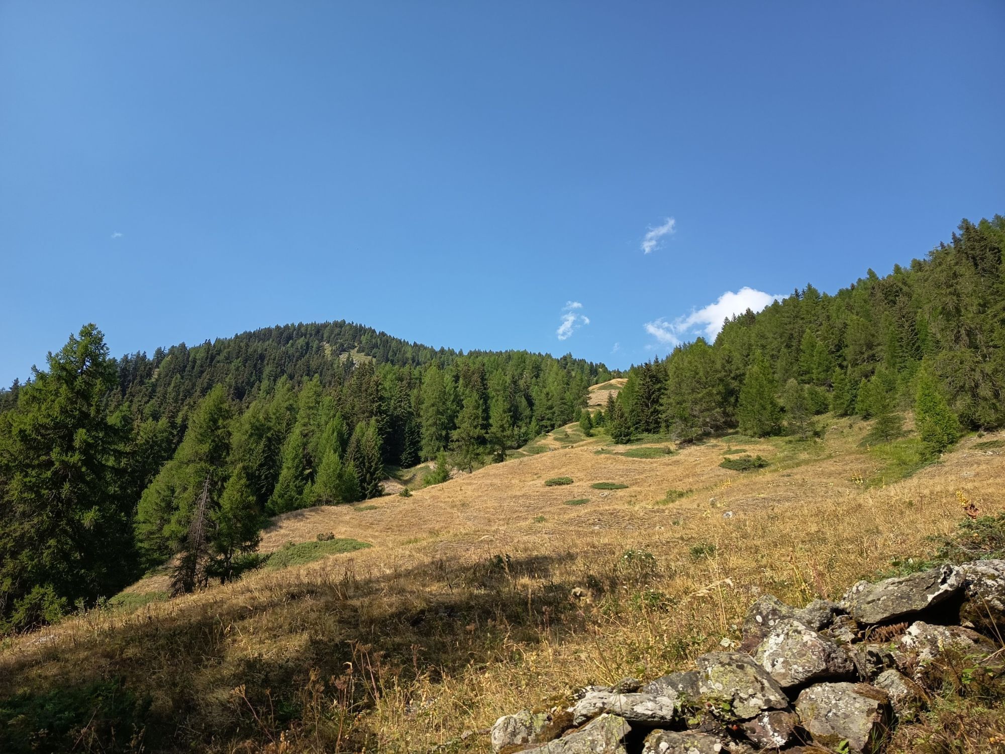
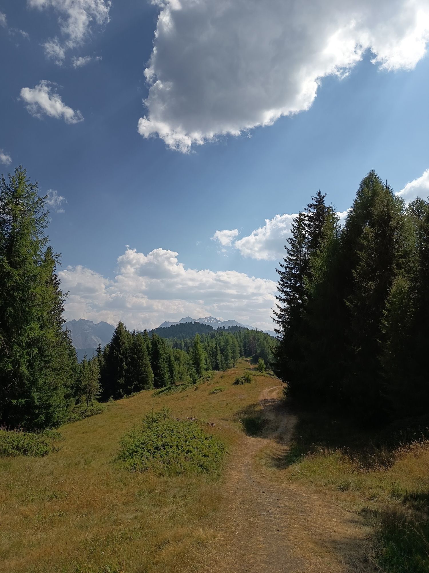
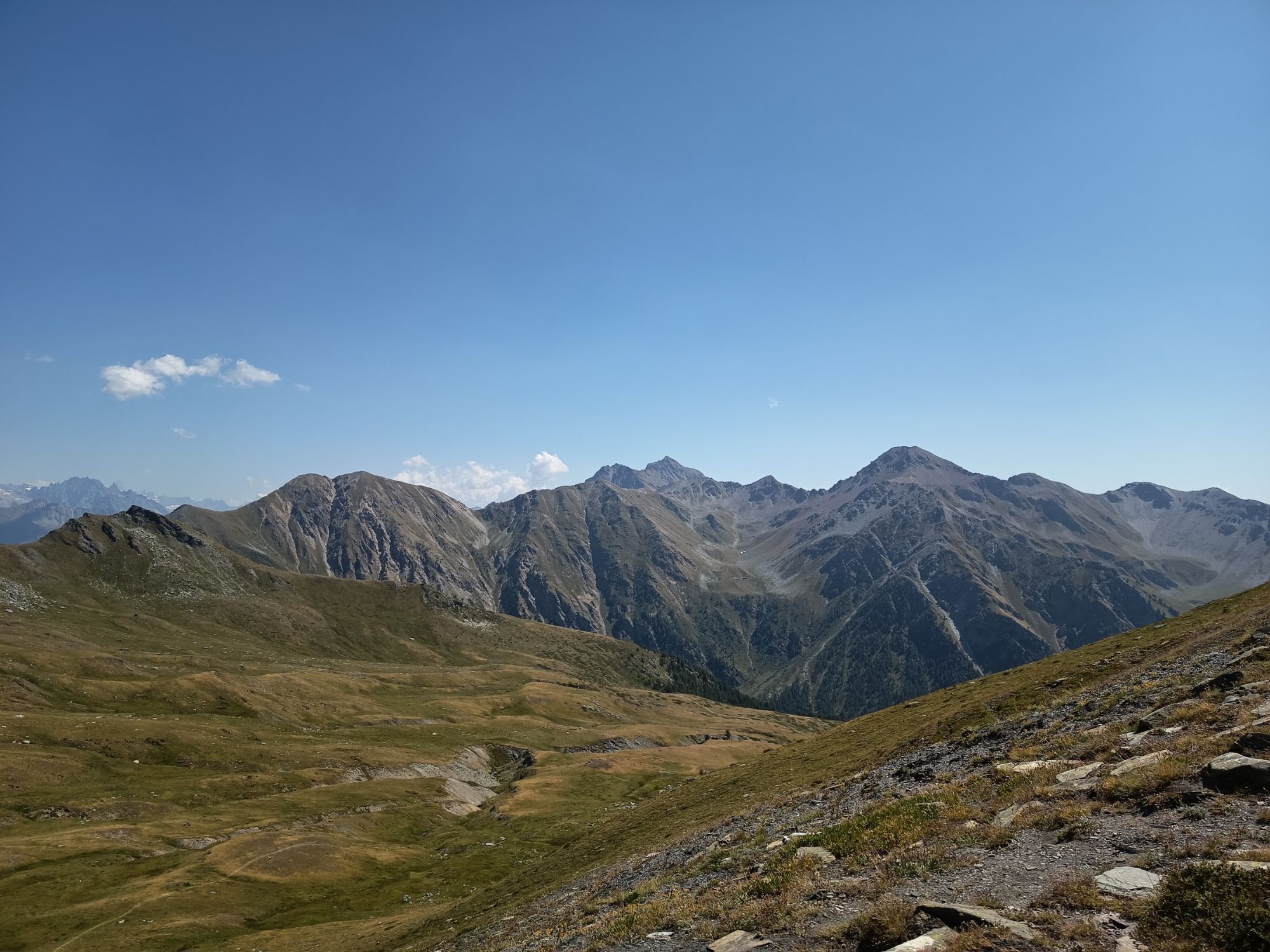
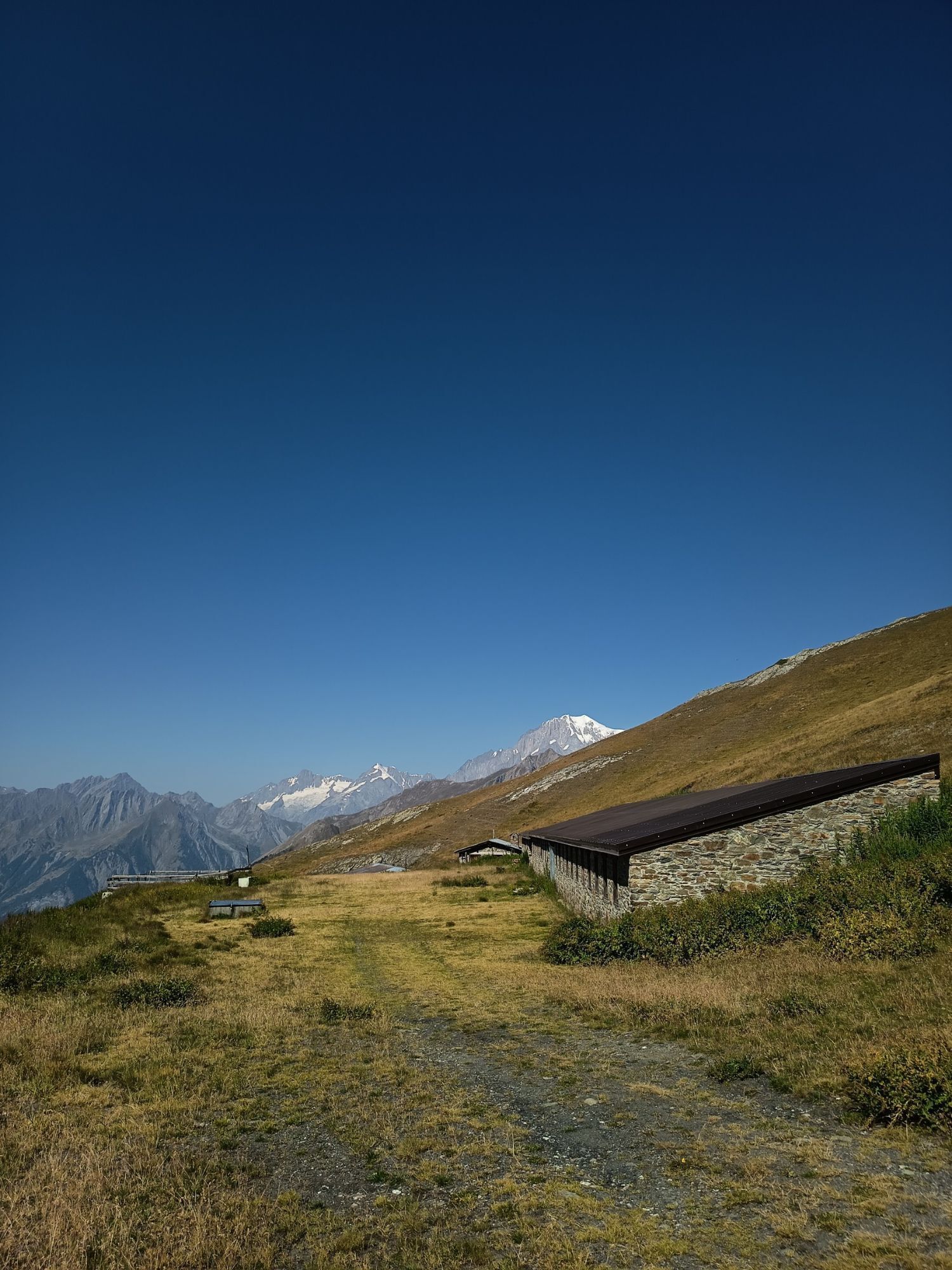
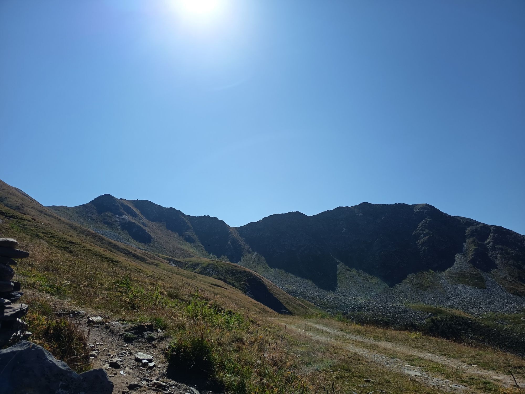
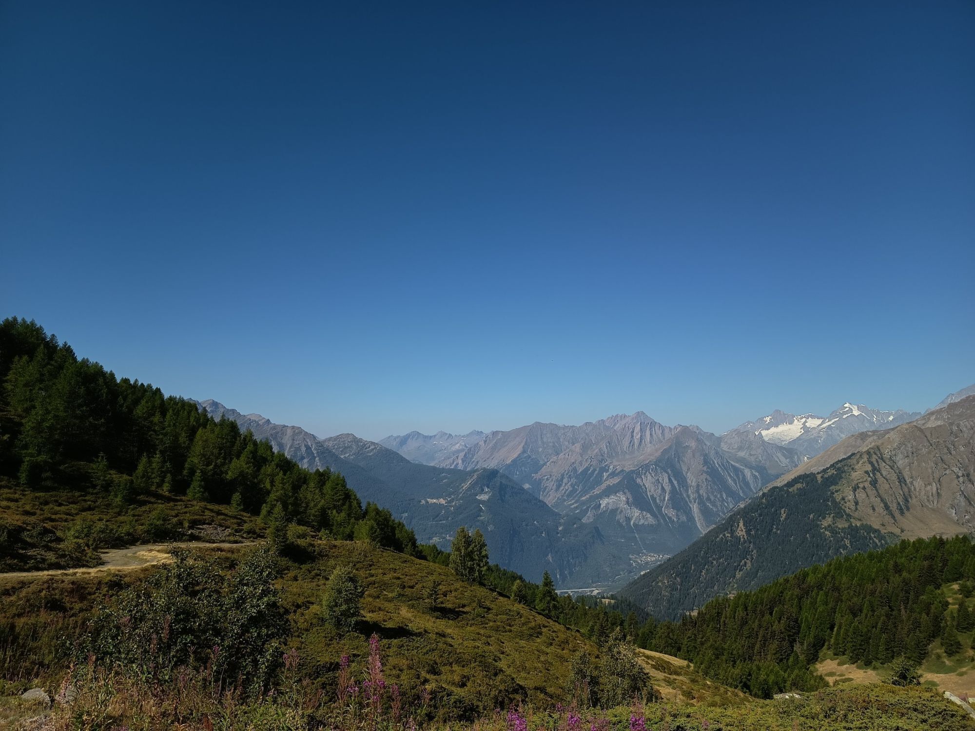
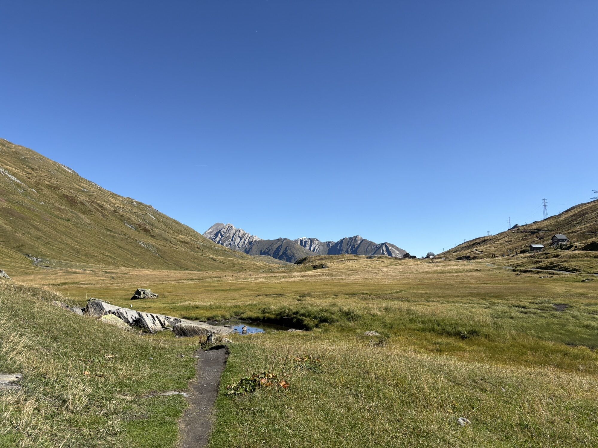
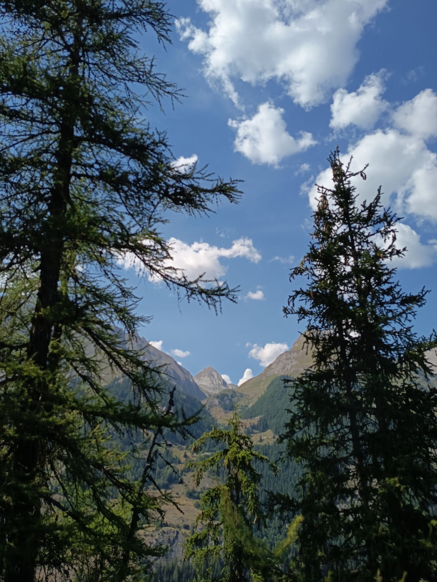
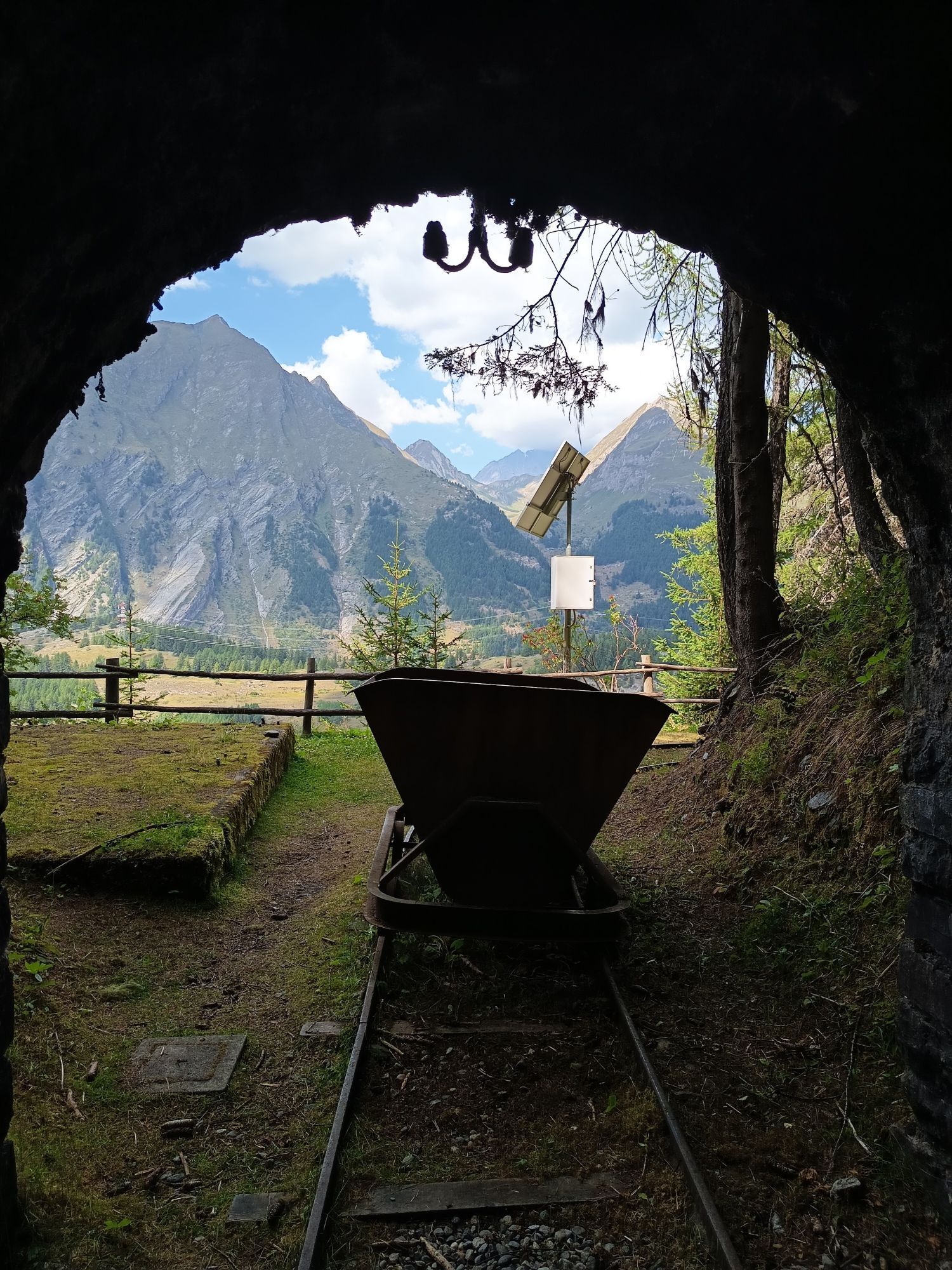
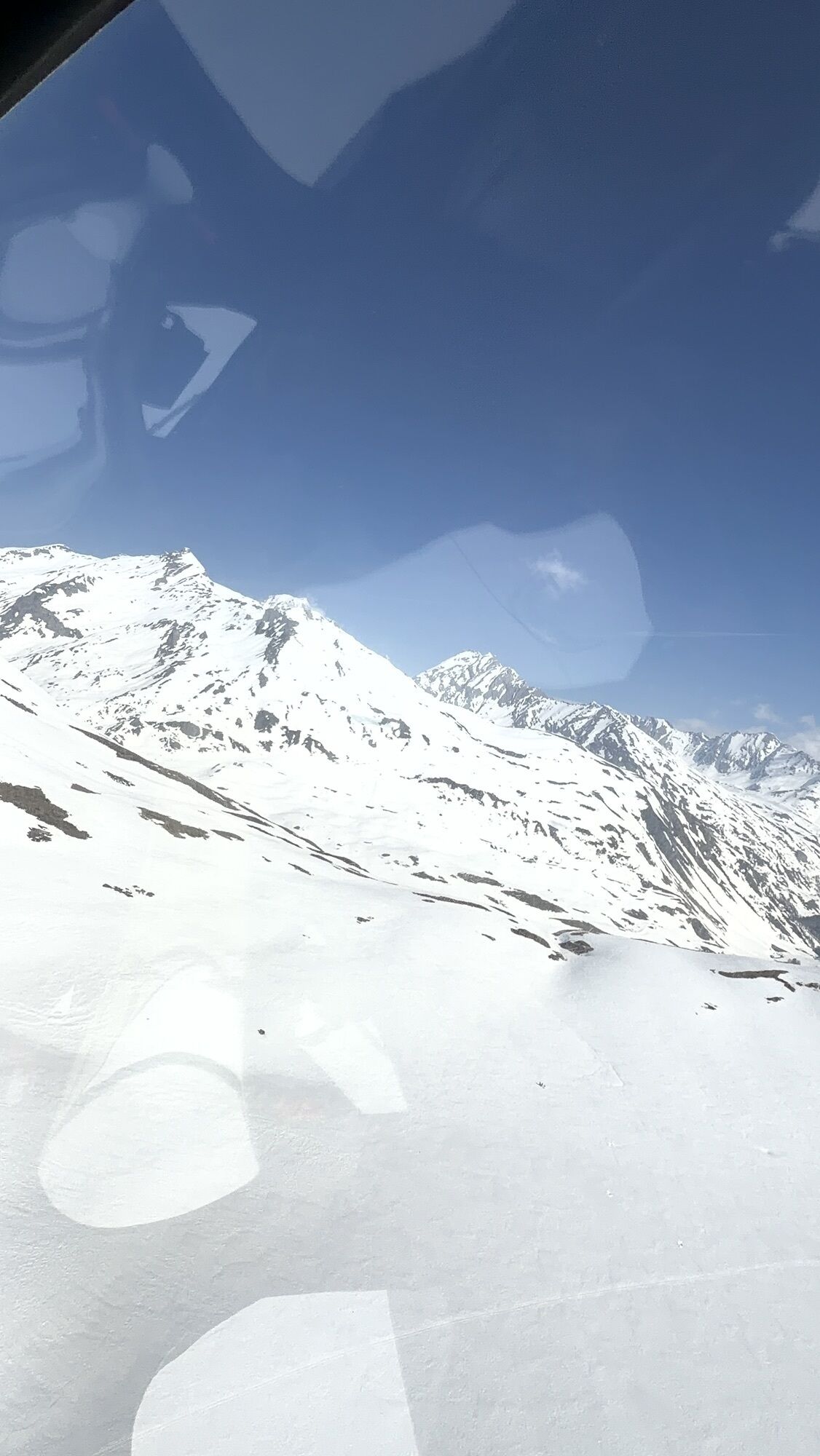
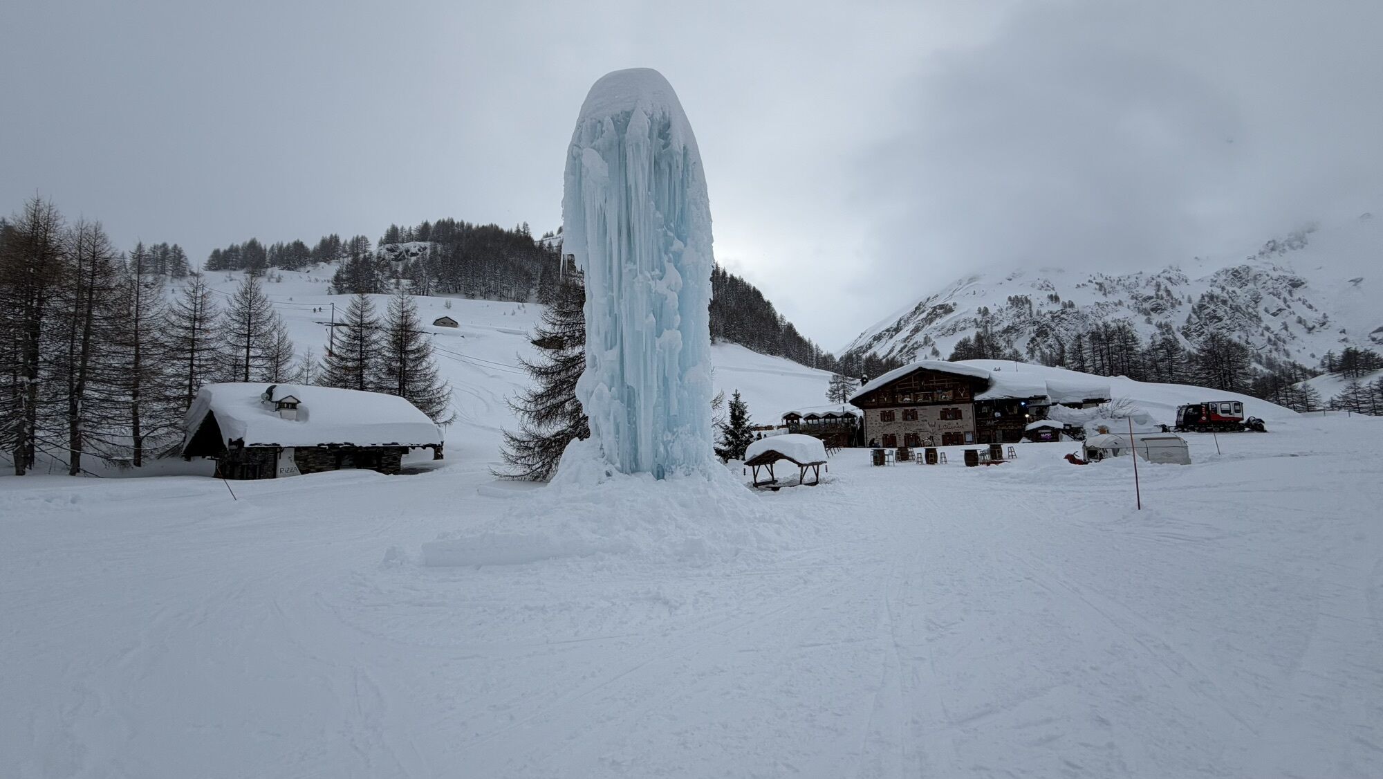
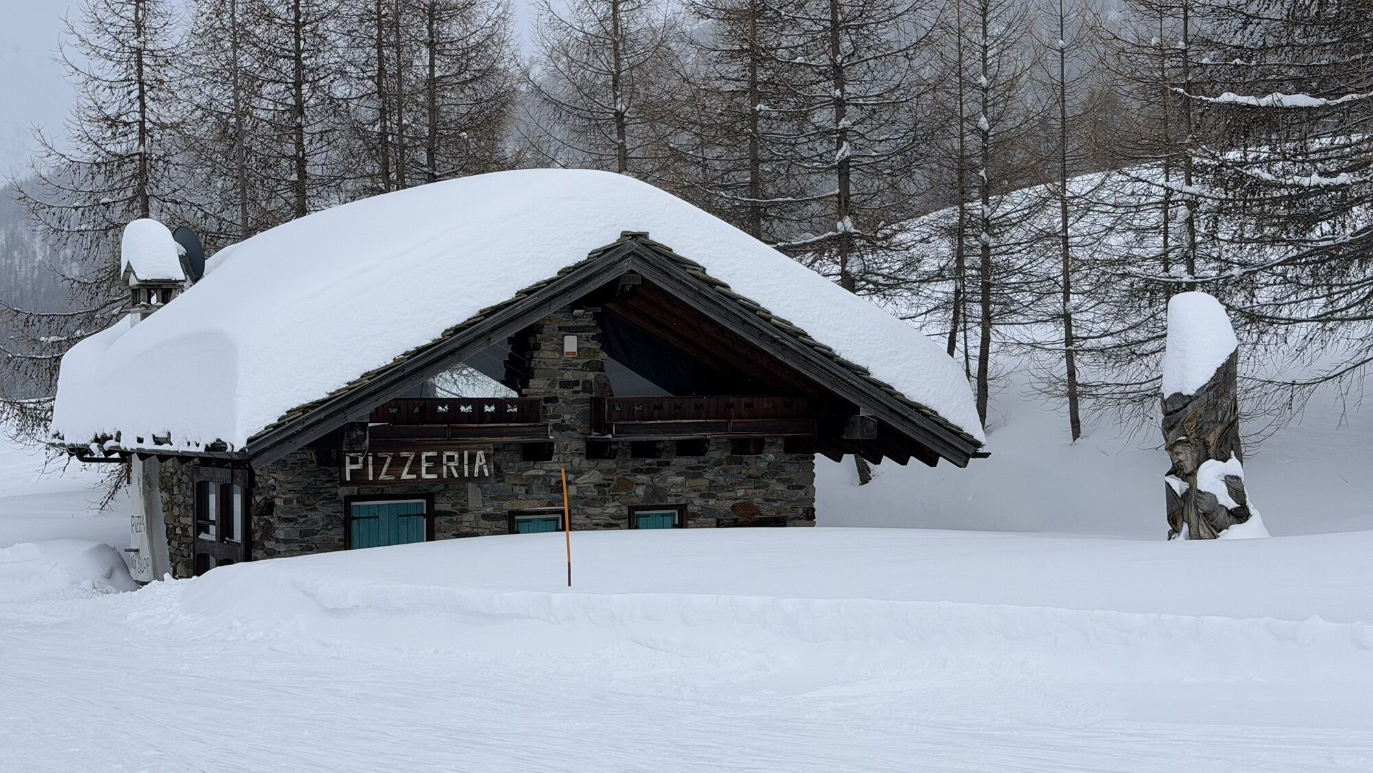
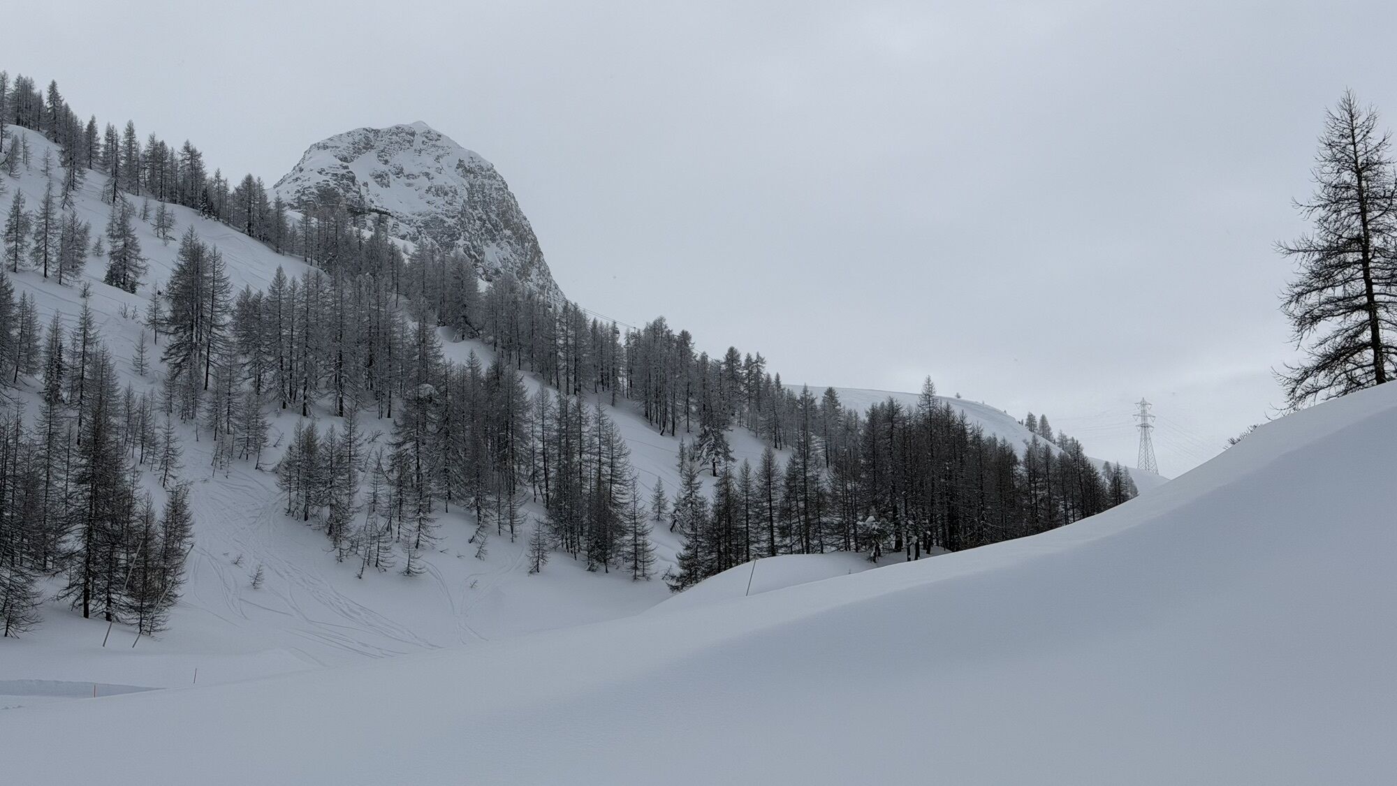
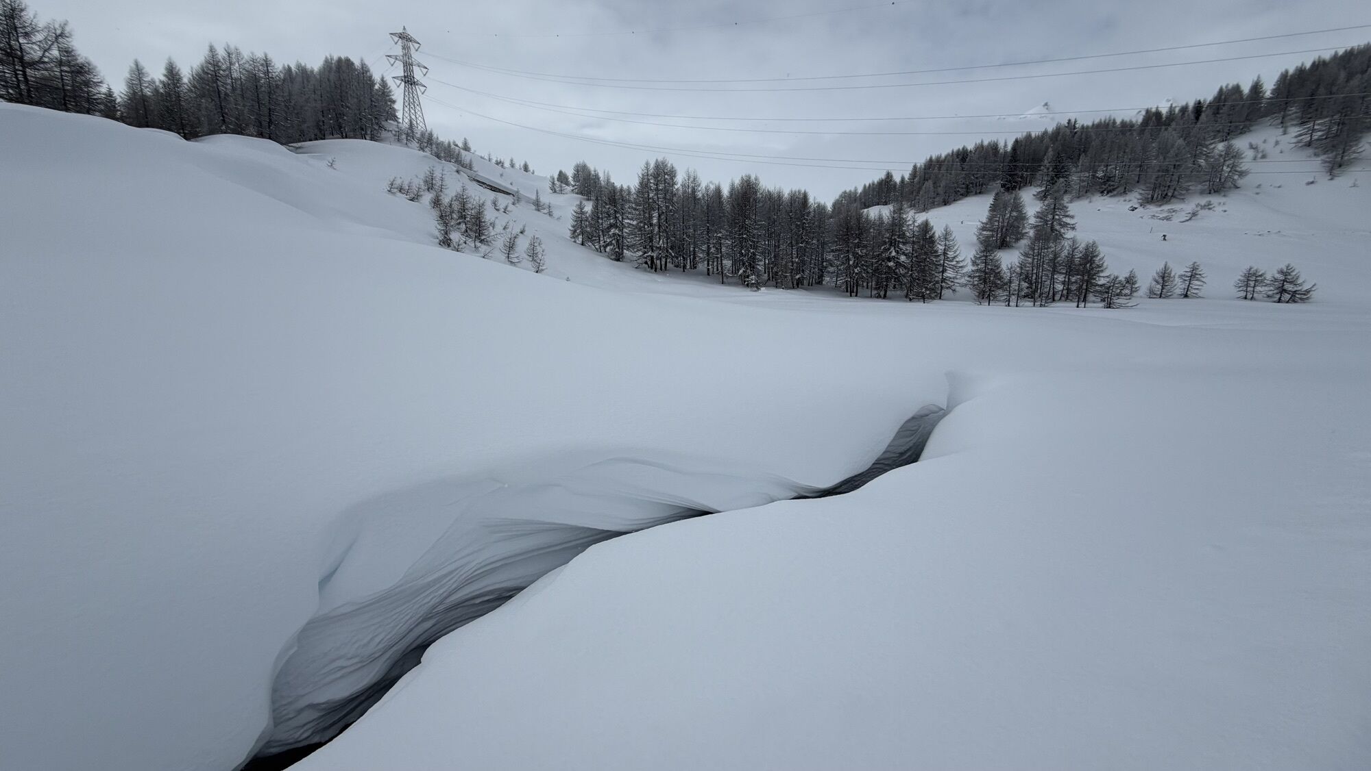
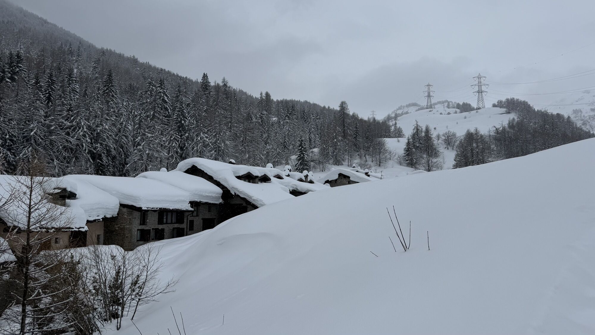
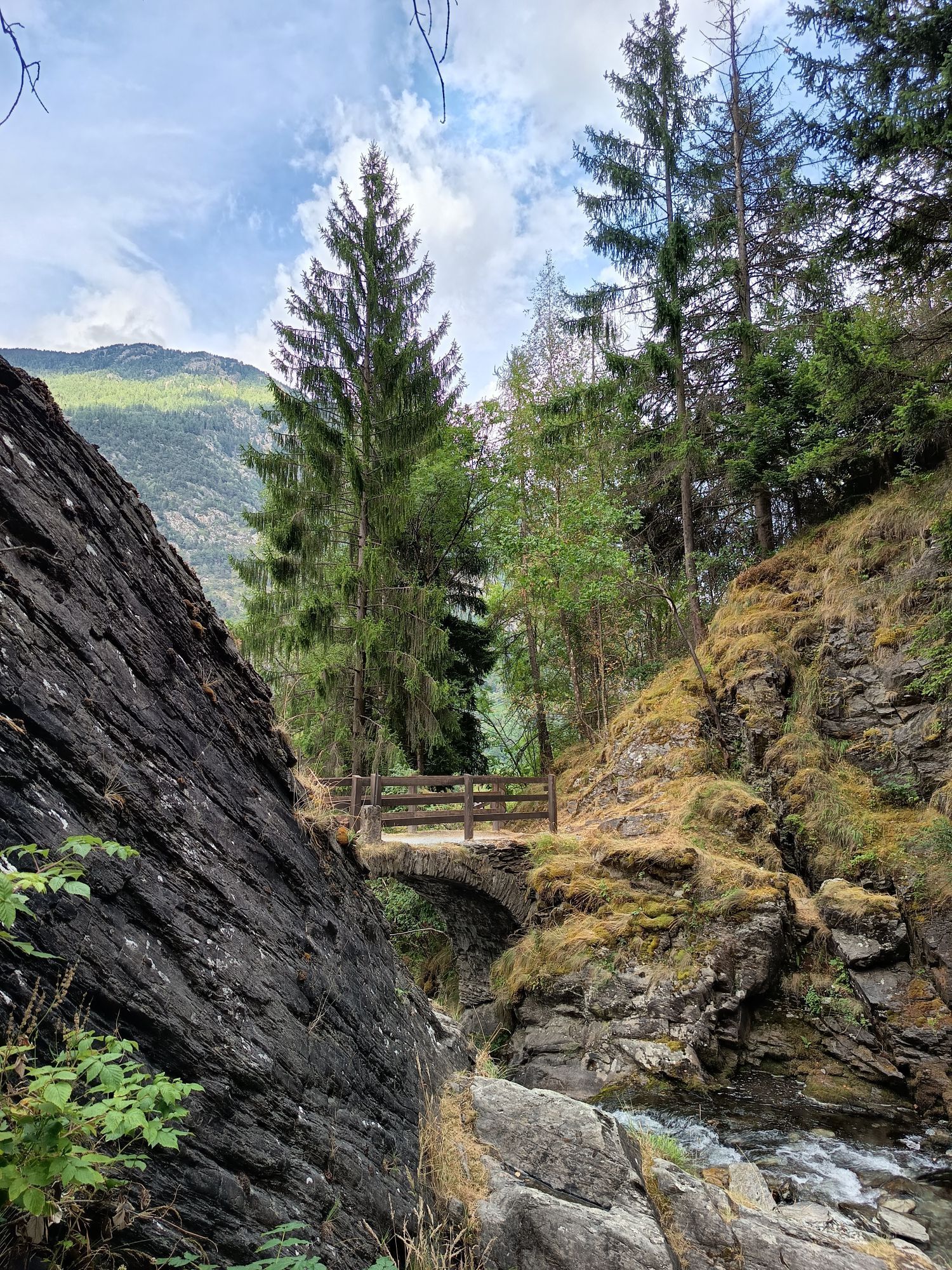
Wegverlauf
Aosta
(583 m)
Stadt
0,1 km
La Crête
(671 m)
Siedlung
9,8 km
Chiesa parrocchiale di San Lorenzo
(1.017 m)
Andachtsstätte
31,1 km
La Balme
(1.314 m)
Siedlung
37,6 km
Chapelle Jean Paul II
(1.852 m)
Andachtsstätte
61,4 km
Chapelle Saint-Michel
(1.061 m)
Andachtsstätte
74,3 km
Église Saint-Pierre
(893 m)
Andachtsstätte
76,8 km
Wegverlauf
Aosta - Aoste - Chiesa parrocchiale di San Lorenzo - Chapelle Jean Paul II - Bourg-Saint-Maurice
schwer
Rennrad
79,70
km
Aosta
(583 m)
Stadt
0,1 km
La Grenade
(583 m)
Siedlung
2,9 km
Poinsod
(594 m)
Siedlung
3,1 km
Les Condémines
(613 m)
Siedlung
3,5 km
La Remise
(604 m)
Siedlung
3,8 km
Arensod
(621 m)
Siedlung
4,4 km
Sarre
(614 m)
Dorf
5,4 km
Trattoria di Campagna
(611 m)
Restaurant
5,5 km
Sainte-Hélène
(609 m)
Siedlung
5,6 km
Plan de Sarre
(611 m)
Siedlung
6,4 km
Chevreyron
(676 m)
Siedlung
8,1 km
Saint-Pierre
(677 m)
Dorf
8,4 km
Dal Fornaro del Castello
(681 m)
Restaurant
8,5 km
Luboz
(687 m)
Siedlung
8,5 km
Cognein
(685 m)
Siedlung
8,9 km
La Locanda dei Sognatori
(674 m)
Restaurant
9,3 km
Osteria Due Passo
(672 m)
Restaurant
9,5 km
La Crête
(671 m)
Siedlung
9,8 km
Villeneuve
(664 m)
Dorf
10,4 km
L'Outre-Pont
(672 m)
Siedlung
10,8 km
Champrotard
(668 m)
Siedlung
12,1 km
Mecosse
(685 m)
Siedlung
12,9 km
Arvier
(760 m)
Dorf
14,0 km
Leverogne
(742 m)
Siedlung
15,0 km
Avise
(775 m)
Dorf
16,4 km
La Condémine
(787 m)
Siedlung
16,8 km
Runaz
(811 m)
Siedlung
17,4 km
Les Champs
(803 m)
Siedlung
20,4 km
Derby
(818 m)
Dorf
21,0 km
Le Villaret
(845 m)
Siedlung
21,7 km
Le Cré
(872 m)
Siedlung
22,0 km
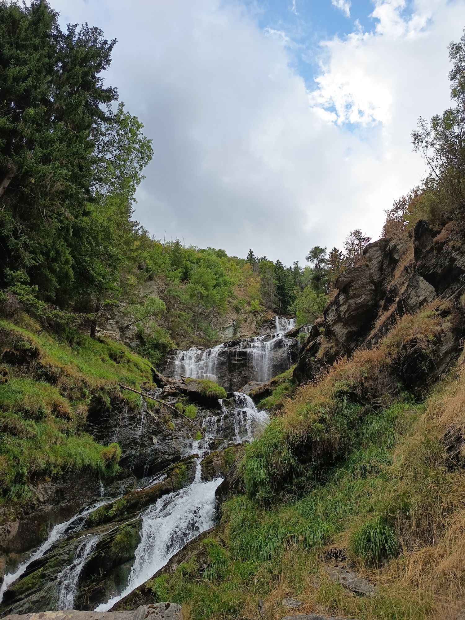
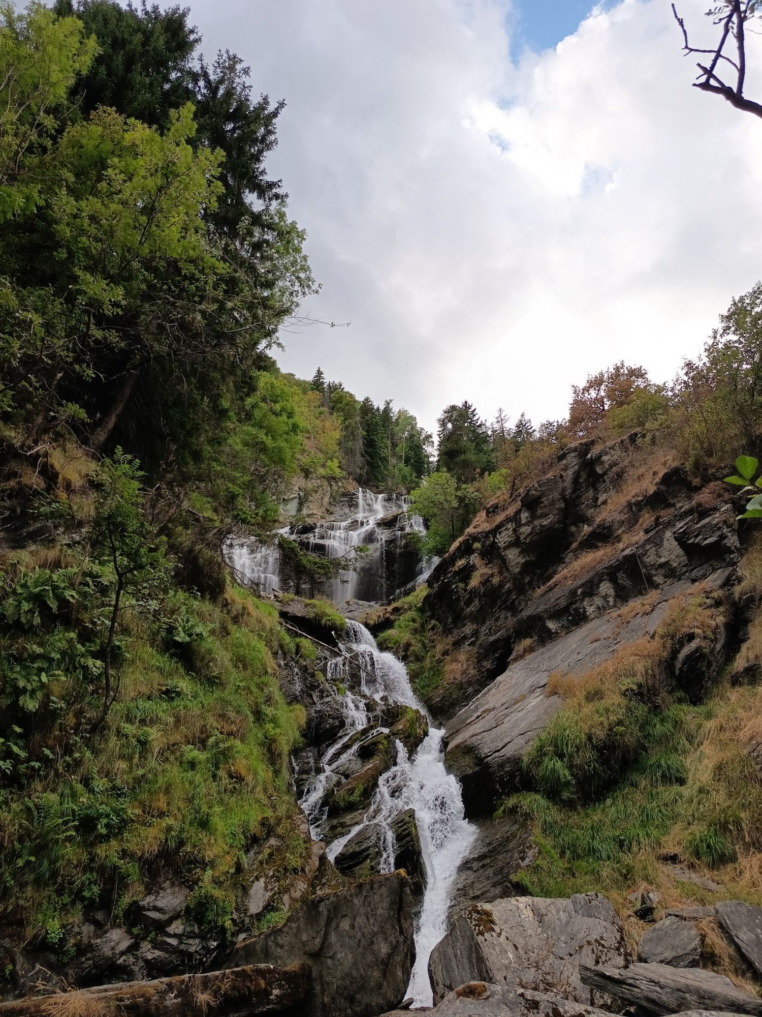
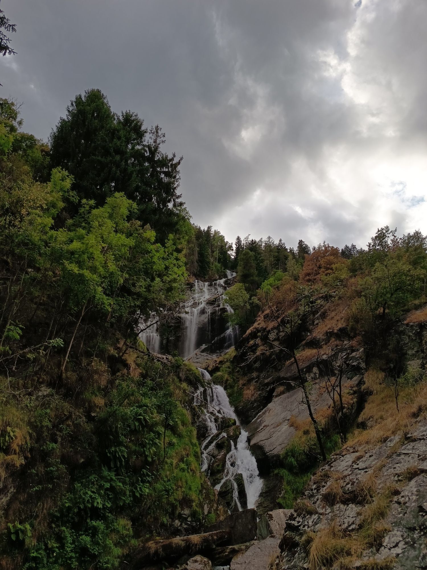
Cascata di Lenteney
(869 m)
Wasserfall
22,4 km
Santa Barbara
(849 m)
Siedlung
23,0 km
Le Pont
(909 m)
Siedlung
24,3 km
La Salle
(898 m)
Bahnhof
24,4 km
Chez-Borgne
(906 m)
Siedlung
24,6 km
Pautex
(918 m)
Siedlung
26,3 km
Morgex
(924 m)
Dorf
27,0 km
Gare
(1.011 m)
Siedlung
30,5 km
Lord Byron
(995 m)
Restaurant
30,6 km
Fernandell Brasserie Raclette
(1.016 m)
Restaurant
31,1 km
Chiesa parrocchiale di San Lorenzo
(1.017 m)
Andachtsstätte
31,1 km
Pré-Saint-Didier
(1.022 m)
Dorf
31,1 km
Fiabé
(1.033 m)
Stadtviertel
31,3 km
Élevaz
(1.300 m)
Siedlung
36,6 km
La Balme
(1.314 m)
Siedlung
37,6 km
Revers
(1.348 m)
Siedlung
38,2 km
Capoluogo
(1.443 m)
Siedlung
40,4 km
Faubourg
(1.453 m)
Siedlung
40,5 km
La Thuile
(1.444 m)
Dorf
40,7 km
Frazione Entrèves
(1.465 m)
Siedlung
41,1 km
Grande Golette
(1.473 m)
Siedlung
41,3 km
Petite Golette
(1.497 m)
Siedlung
41,4 km
Pont Serrand
(1.615 m)
Siedlung
43,9 km
Lo Riondet
(1.848 m)
Restaurant
47,4 km
Roxy Bar
(2.009 m)
Restaurant
50,3 km
Bar du Lac
(2.188 m)
Restaurant
53,2 km
Bar S. Bernardo
(2.182 m)
Restaurant
53,3 km
Bar Restaurant du Lancebranlette
(2.187 m)
Restaurant
53,8 km
Les Arcades
(1.920 m)
Flur/Gelände
59,6 km
Virage des Arcades
(1.926 m)
Aussichtspunkt
59,7 km
Manessier
(1.859 m)
Gondelstation
61,2 km
Clarines
(1.860 m)
Gondelstation
61,2 km
Dameuse
(1.856 m)
Spielplatz
61,3 km
Chapelle Jean Paul II
(1.852 m)
Andachtsstätte
61,4 km
La Rosière
(1.852 m)
Siedlung
61,4 km
Hauteville
(1.560 m)
Siedlung
66,8 km
Le Remonte Pente
(1.515 m)
Restaurant
67,6 km
Le Châtelard
(1.495 m)
Siedlung
67,6 km
La Combaz
(1.507 m)
Siedlung
68,1 km
Les Etaves
(1.376 m)
Siedlung
68,5 km
Le Pré du Four
(1.508 m)
Siedlung
68,5 km
Le Chabloz
(1.424 m)
Siedlung
68,8 km
Le Villaret
(1.357 m)
Siedlung
69,6 km
Le Cret
(1.294 m)
Siedlung
70,0 km
Les Champaix
(1.266 m)
Siedlung
70,6 km
Les Perrières
(1.246 m)
Siedlung
70,8 km
Montvalezan
(1.152 m)
Dorf
71,9 km
Chapelle Notre-Dame de Fourvières
(1.137 m)
Andachtsstätte
72,6 km
Chapelle Saint-Michel
(1.061 m)
Andachtsstätte
74,3 km
Le Noyeraie
(1.050 m)
Siedlung
74,4 km
Villard-Dessus
(1.016 m)
Siedlung
75,4 km
Villard Dessous
(966 m)
Siedlung
75,7 km
Chapelle Saint-Maurice
(971 m)
Andachtsstätte
75,8 km
Les Perrières
(943 m)
Stadtviertel
76,2 km
La Perrière
(917 m)
Stadtviertel
76,2 km
Les Étralles
(927 m)
Stadtviertel
76,4 km
Le Bertluret
(909 m)
Stadtviertel
76,5 km
Séez
(896 m)
Dorf
76,6 km
Église Saint-Pierre
(893 m)
Andachtsstätte
76,8 km
Les Contamines
(848 m)
Stadtviertel
77,0 km
Les Rives
(875 m)
Stadtviertel
77,2 km
Trèves
(830 m)
Stadtviertel
77,7 km
La Fabrique
(832 m)
Stadtviertel
77,8 km
L'Ilaz
(830 m)
Siedlung
78,1 km
La Grange
(887 m)
Siedlung
78,3 km
Le Mollard
(817 m)
Siedlung
78,3 km
Les Olympiades
(818 m)
Stadtviertel
78,8 km
Le Stade
(807 m)
Stadtviertel
79,0 km
Rochefort
(811 m)
Stadtviertel
79,1 km
La Bourgeat
(820 m)
Stadtviertel
79,4 km
Bourg-Saint-Maurice
(840 m)
Stadt
79,6 km


Noch keine Bewertungen
Webcams der Tour
Les Suches - Espace San Bernardo
La Rosière Fort
La Rosière - Chalet Le Planica
Maison du Ski - La Rosière
Valgrisenche
Aosta - Piazza Chanoux
Aosta - Arco d´Augusto
Arc 1950 - Clocher
Mont Blanc
Chalet le Montana - La Rosière
La Thuile - Lo Riondet
La Thuile - Chaz Dura
Pra Neyron
Pra Neyron
Chamolé Valle
Mont Valaisan - La Rosière
Col de La Traversette - Le Fort
Front de Neige - La Rosière
Golf - La Rosière
Sainte Foy Tarentaise - Front de neige
Passo del Piccolo San Bernardo - La Thuile
La Thuile - Lo Riondet
LIVE Olympique - Arc 2000
LIVE Vagère - Arc 1800
Arc 2000
Plan du Repos - La Rosière
Introd
Aosta - Sant'Orso
Charvensod
Jardin d'enfants - Chalet le Planica
LIVE Snowpark
LIVE Mont-Blanc
Introd - Castello

Alle Webcams auf einer Karte
Installiere die App kostenlos und vergleiche die Live-Bilder mehrerer Orte, bevor du losgehst.
Nutze bergfex jetzt in der App
Scanne den QR-Code mit deiner Kamera
Ist die App installiert, öffnet sich der Inhalt direkt. Hast du die App noch nicht, gelangst du zum kostenlosen Download.
Beliebte Touren in der Nähe
- 5,0
Mont Blanc
schwerHochtour 19 km - 4,8
Colle San Carlo, lago di Arpy e tentativo lago di Pietra Rossa
Wanderung 12,0 km - 5,0
Goldtoni - Alpenbogen A065-4 Refuge Cosmique-Refuge Tete Rousse
schwerFernwanderweg 13,4 km - 5,0
Lago del Miage da Pra Neiron
Wanderung 9,67 km - 4,5
Morgex - Plan de Buillet - Punta della Croce
mittelWanderung 12,6 km - 5,0
Courmayeur - Rifugio Walter Bonatti - Malatrà Desot - Giué Desot
mittelWanderung 5,45 km - 4,0
Colle della Croce und Lago d'Arpy
mittelE-MTB 12,3 km - 5,0
Goldtoni - Alpenbogen A065-3 Refugio Torino-Refuge Cosmiques
mittelFernwanderweg 5,73 km Mont Blanc
mittelWanderung 13,9 km- 5,0
Lago d'Arpy e Lago di Pietra Rossa
Wanderung 14,3 km
Wandern & Tracking

Über 550.000 Tourenvorschläge, detailliertes Kartenmaterial und ein intuitiver Routenplaner machen die App zum Must-have für alle Naturbegeisterten.

Verpasse keine Angebote und Inspirationen für deinen nächsten Urlaub
Zum Newsletter anmelden
Fehler
Ein Fehler ist aufgetreten. Bitte versuche es erneut.Vielen Dank für deine Anmeldung
Deine E-Mail-Adresse wurde in den Verteiler eingetragen.
Touren in ganz Europa
Österreich Schweiz Deutschland Italien Slowenien Frankreich Niederlande Belgien Polen Liechtenstein Tschechien Slowakei Spanien Kroatien Bosnien und Herzegowina Luxemburg Andorra Portugal Island Vereinigtes Königreich Irland Griechenland Albanien Nordmazedonien Malta Norwegen Montenegro Moldau Kosovo Ungarn San Marino Rumänien Estland Lettland Belarus Zypern Litauen Serbien Bulgarien Monaco Dänemark Schweden Finnland





