


An animal tour from SeaLife to Hellabrunn Zoo
Fotos unserer User
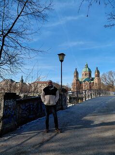
 © SupertschännErstellt am 01.01.2026
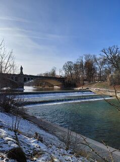 © SupertschännErstellt am 01.01.2026
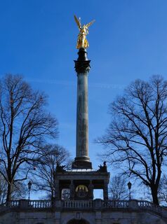 © SupertschännErstellt am 01.01.2026
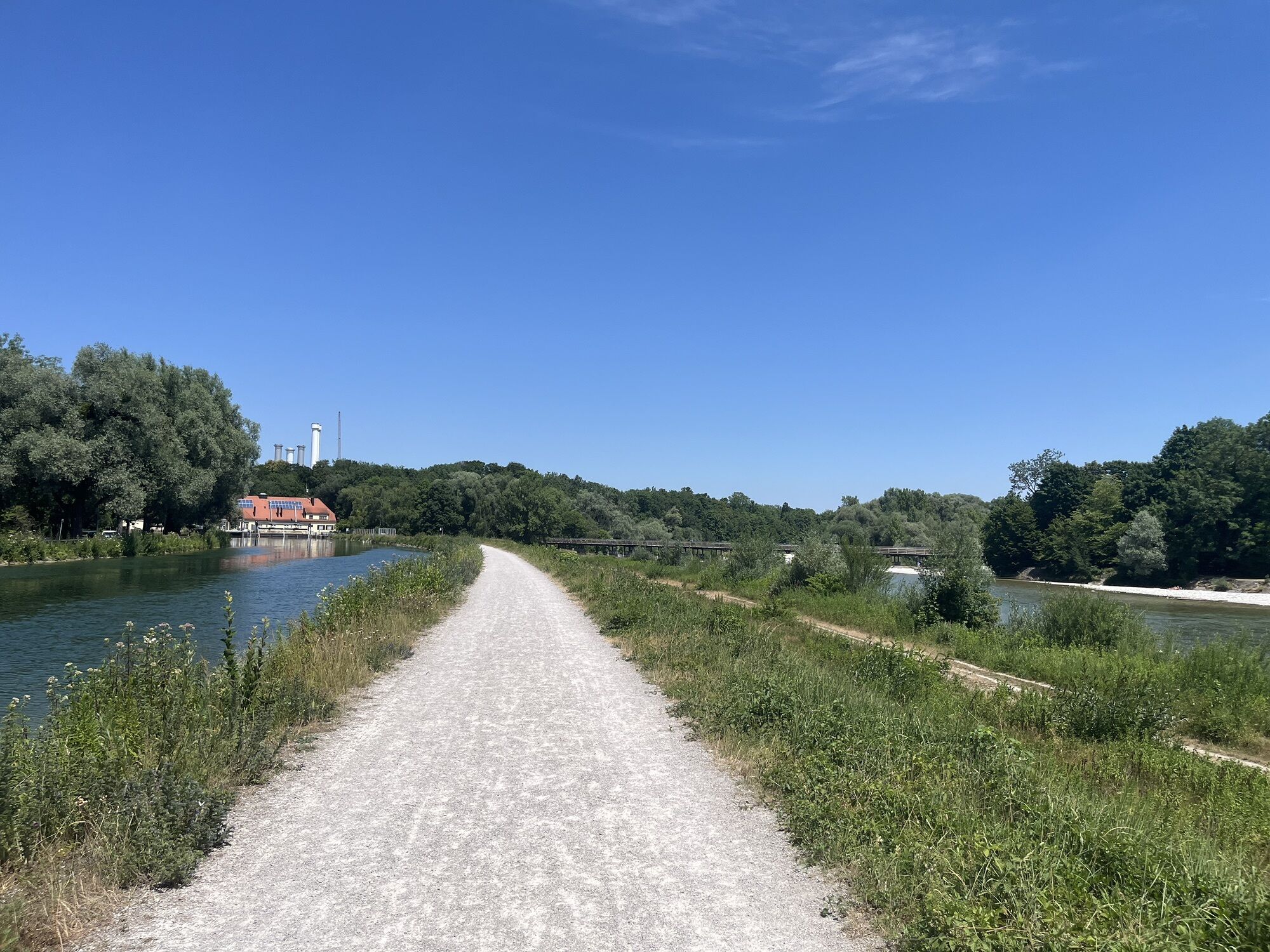
 © Stefan OttoErstellt am 01.07.2025
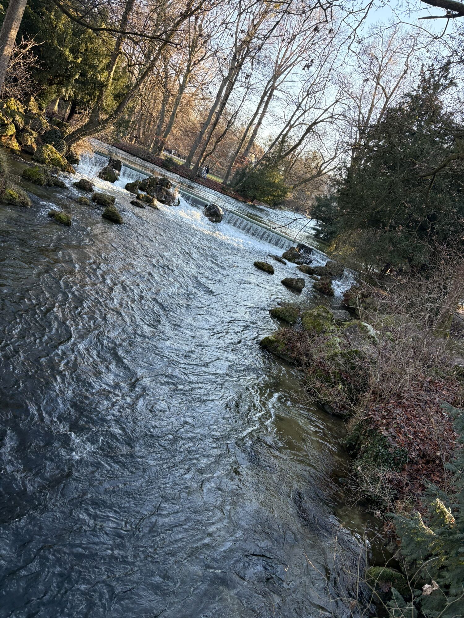
 © Thomas JankErstellt am 29.12.2024
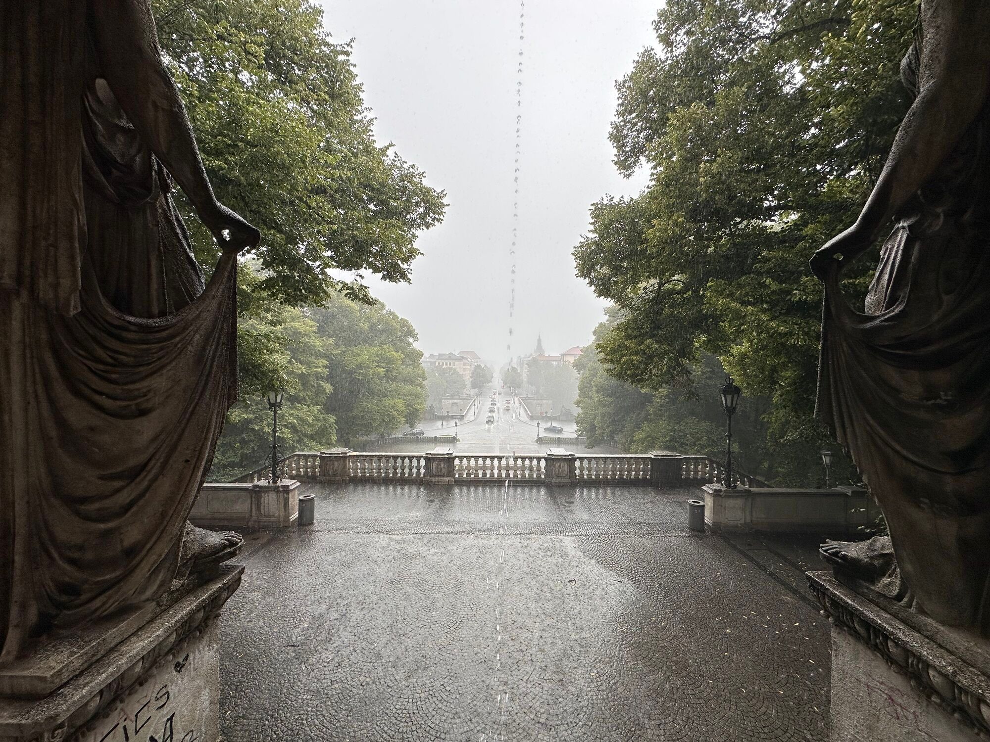
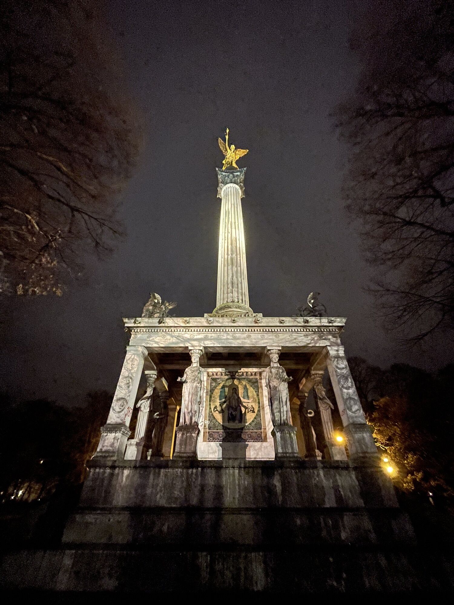
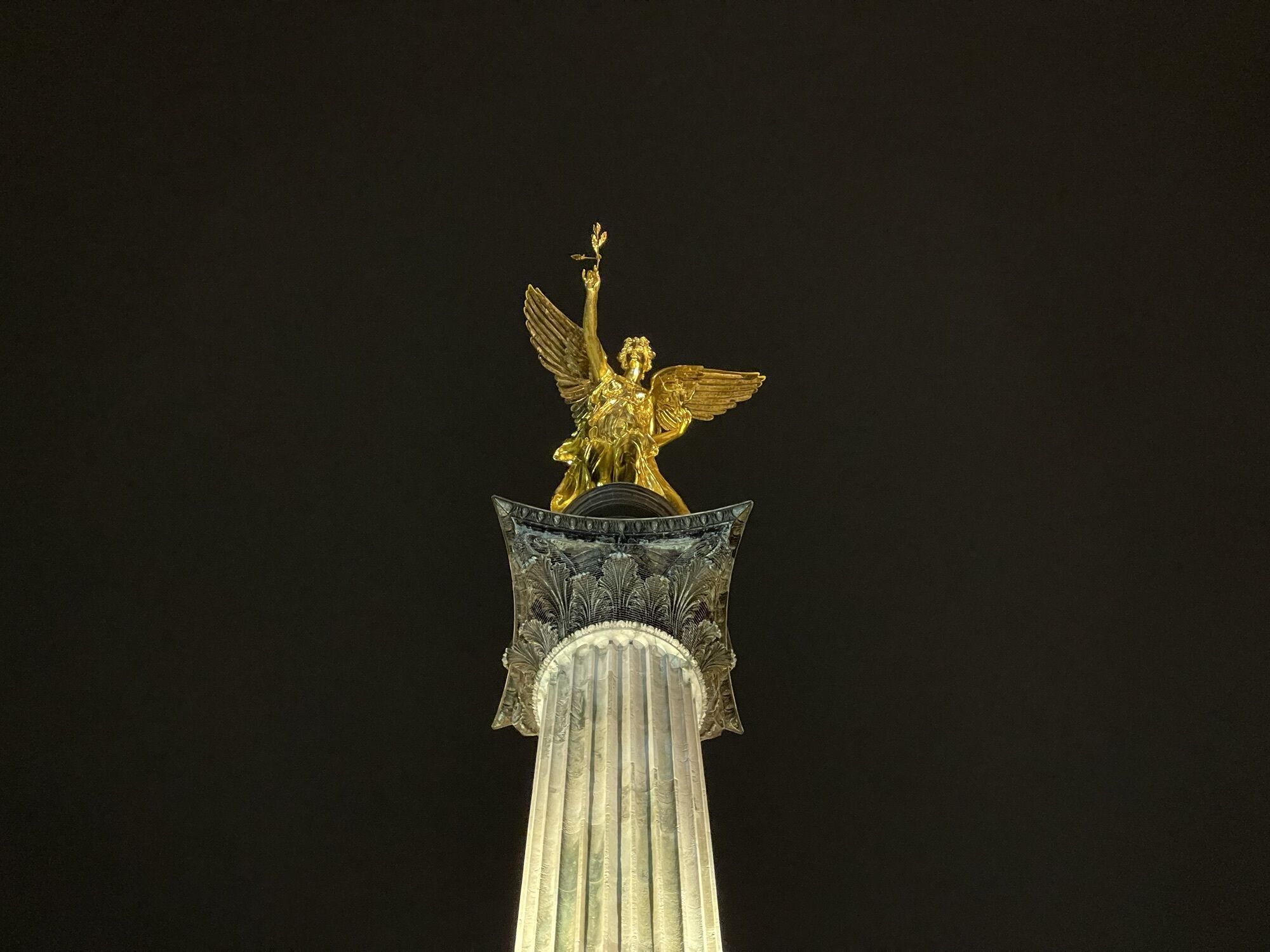
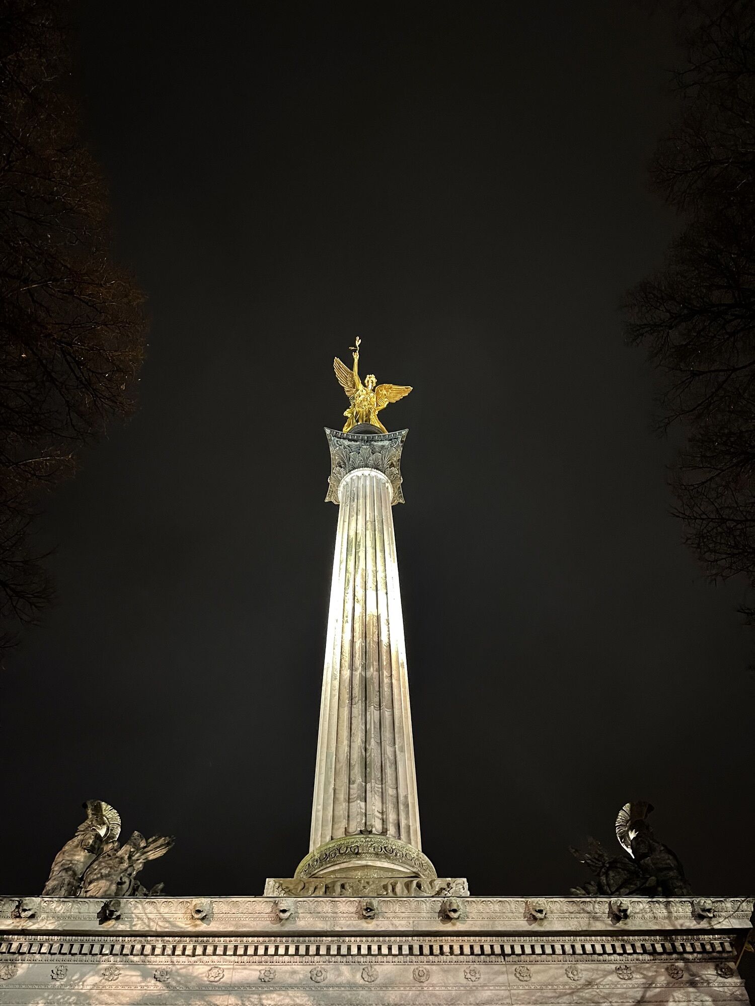
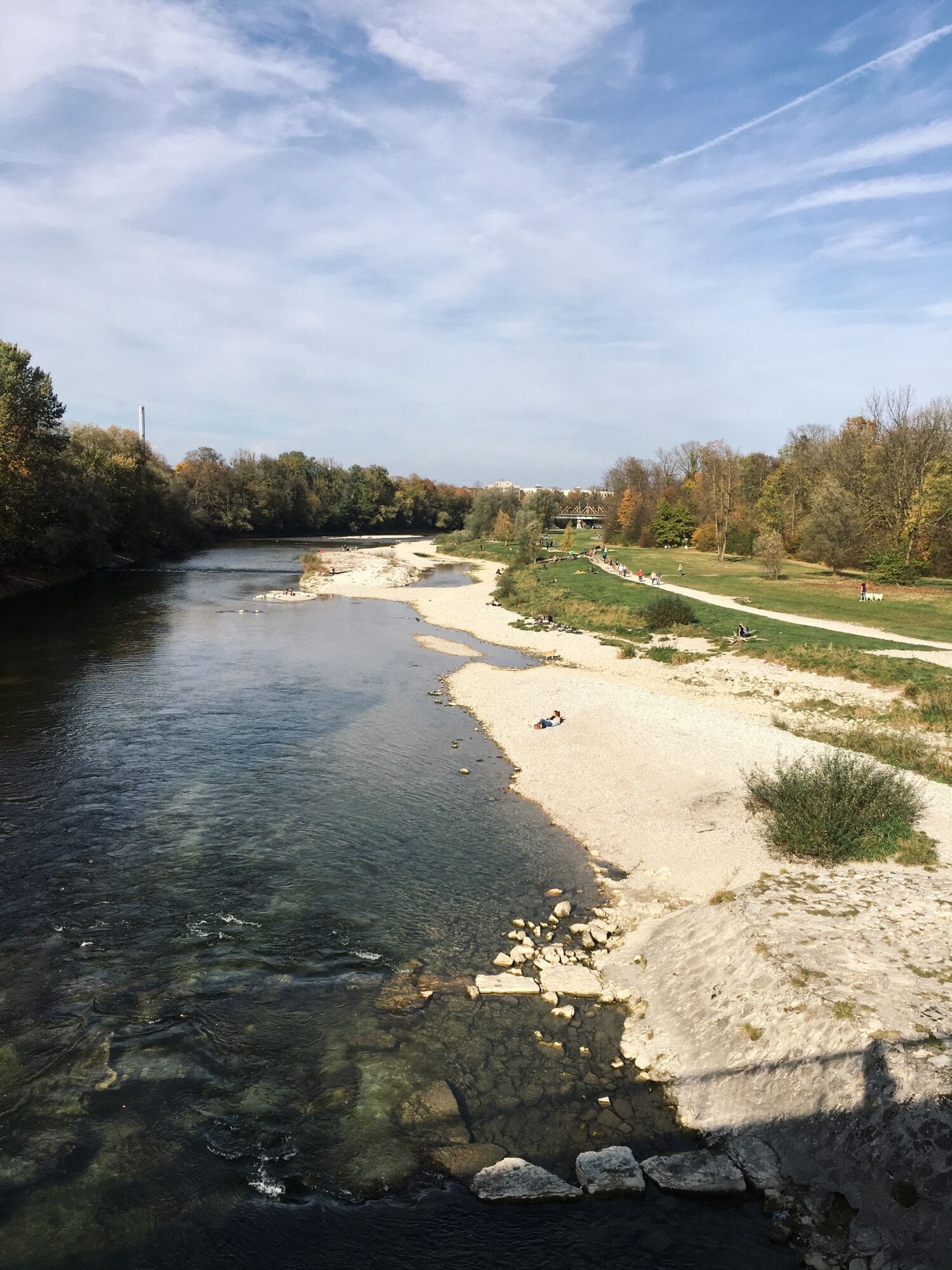
 © Norbert HerbigErstellt am 05.08.2023
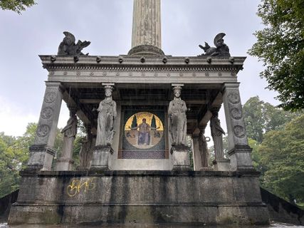 © Norbert HerbigErstellt am 05.08.2023
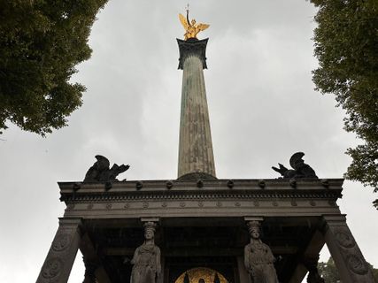 © Norbert HerbigErstellt am 05.08.2023
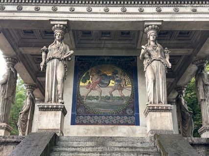 © Norbert HerbigErstellt am 05.08.2023
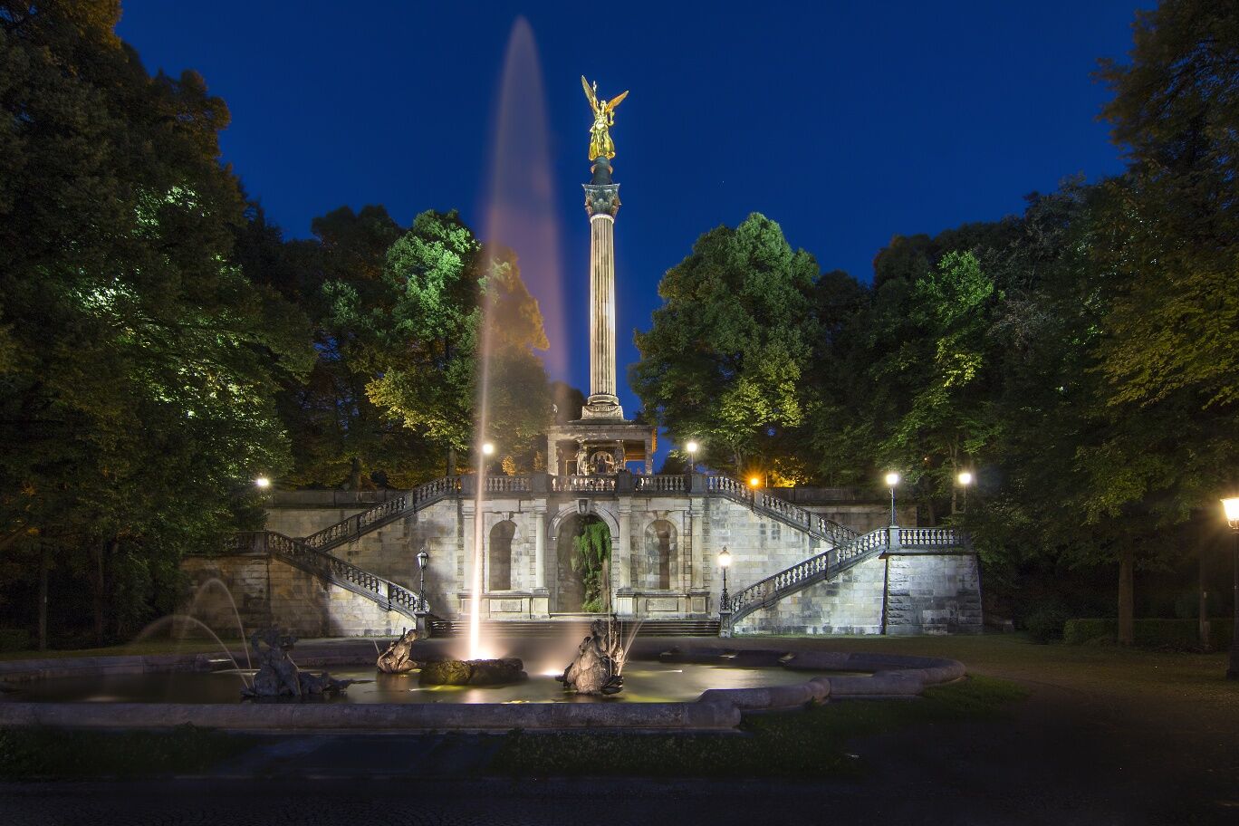
 © Remco FrühaufErstellt am 08.03.2024
 © Remco FrühaufErstellt am 08.03.2024
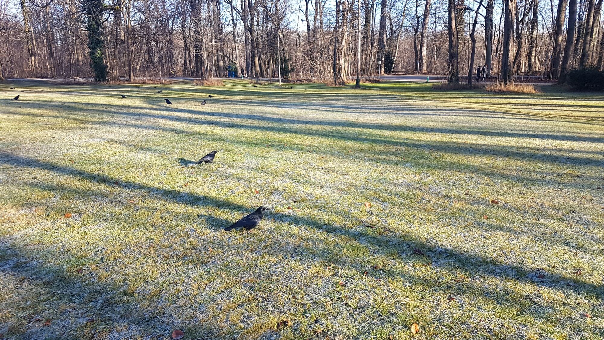
 © filbroErstellt am 27.04.2022
 © filbroErstellt am 27.04.2022
 © filbroErstellt am 27.04.2022
 © filbroErstellt am 27.04.2022
 © filbroErstellt am 27.04.2022
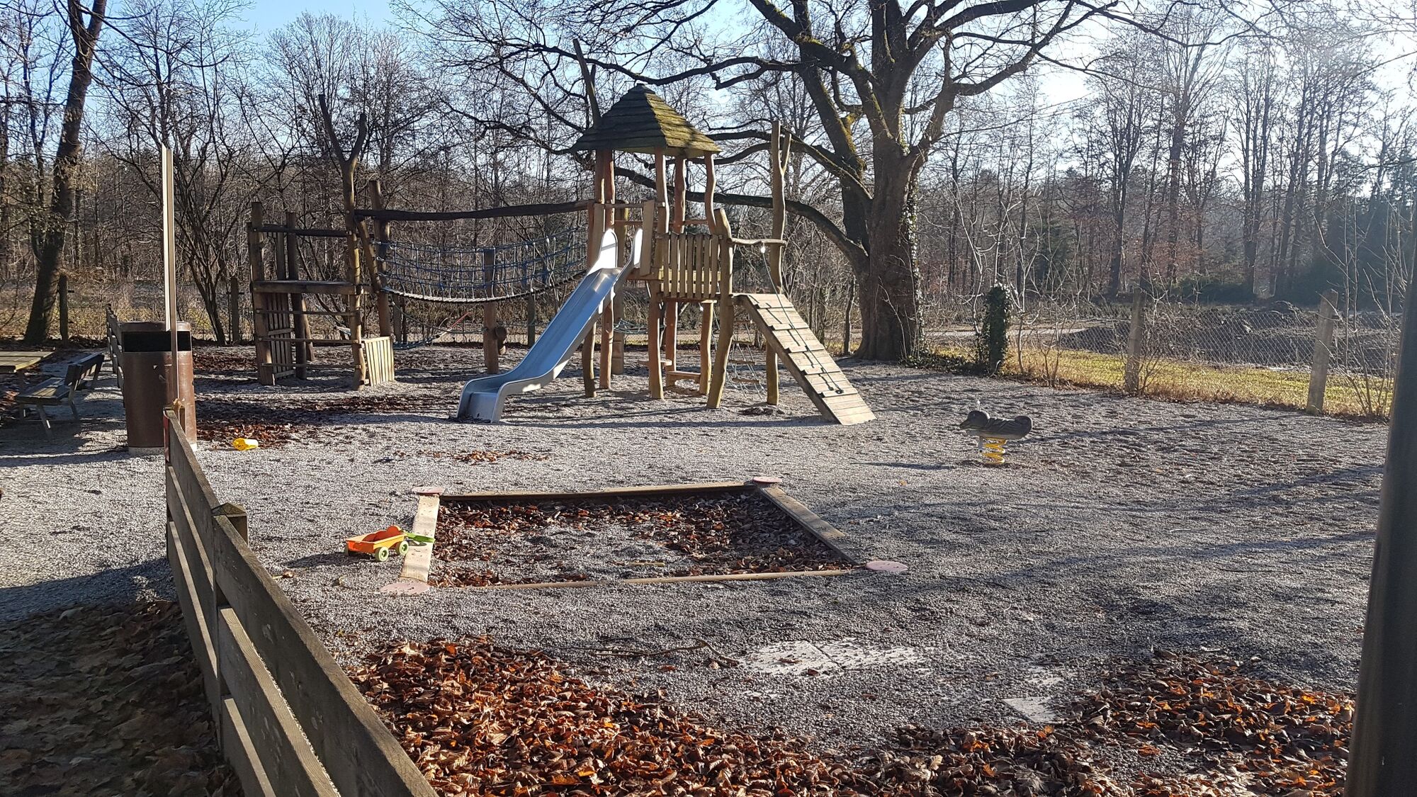
 © filbroErstellt am 30.11.2021
 © filbroErstellt am 30.11.2021
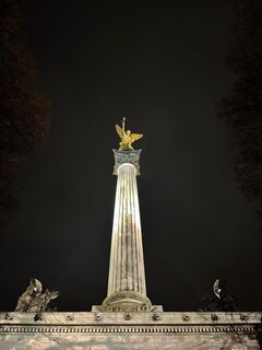 © filbroErstellt am 30.11.2021


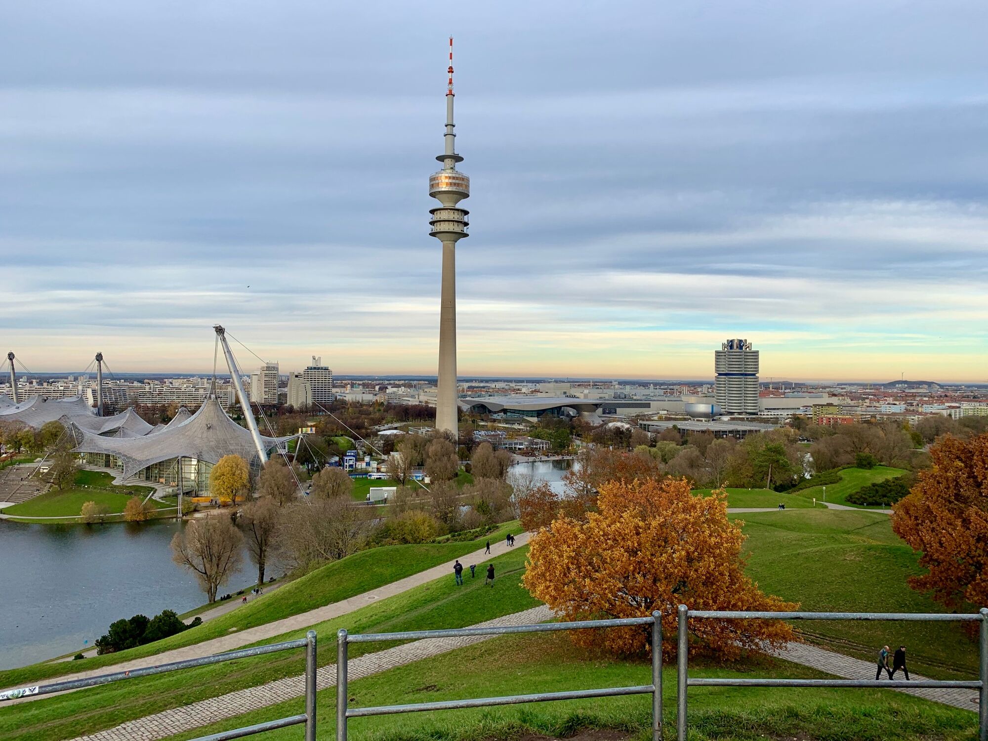
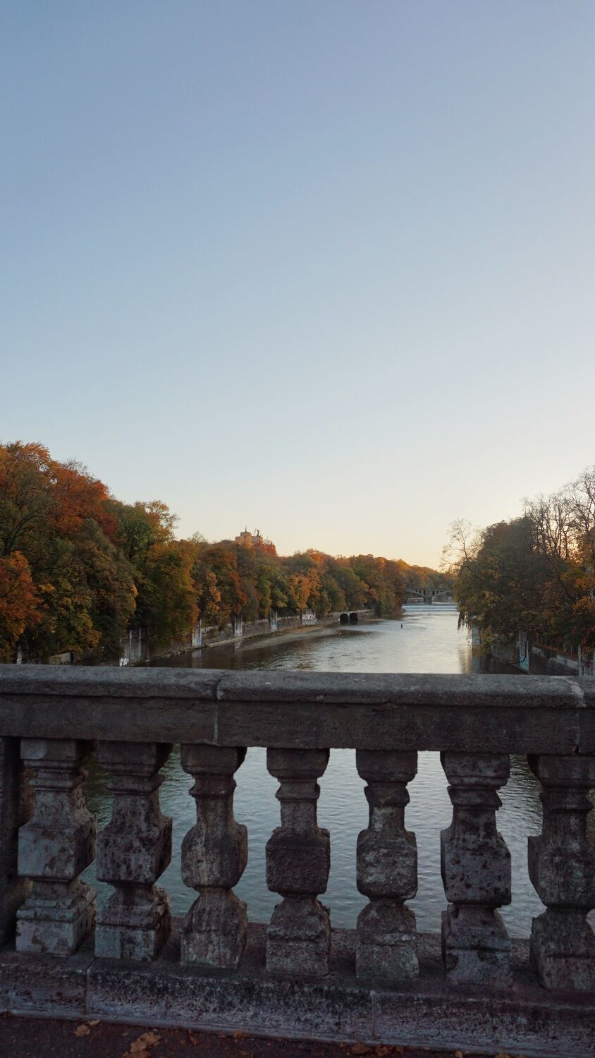
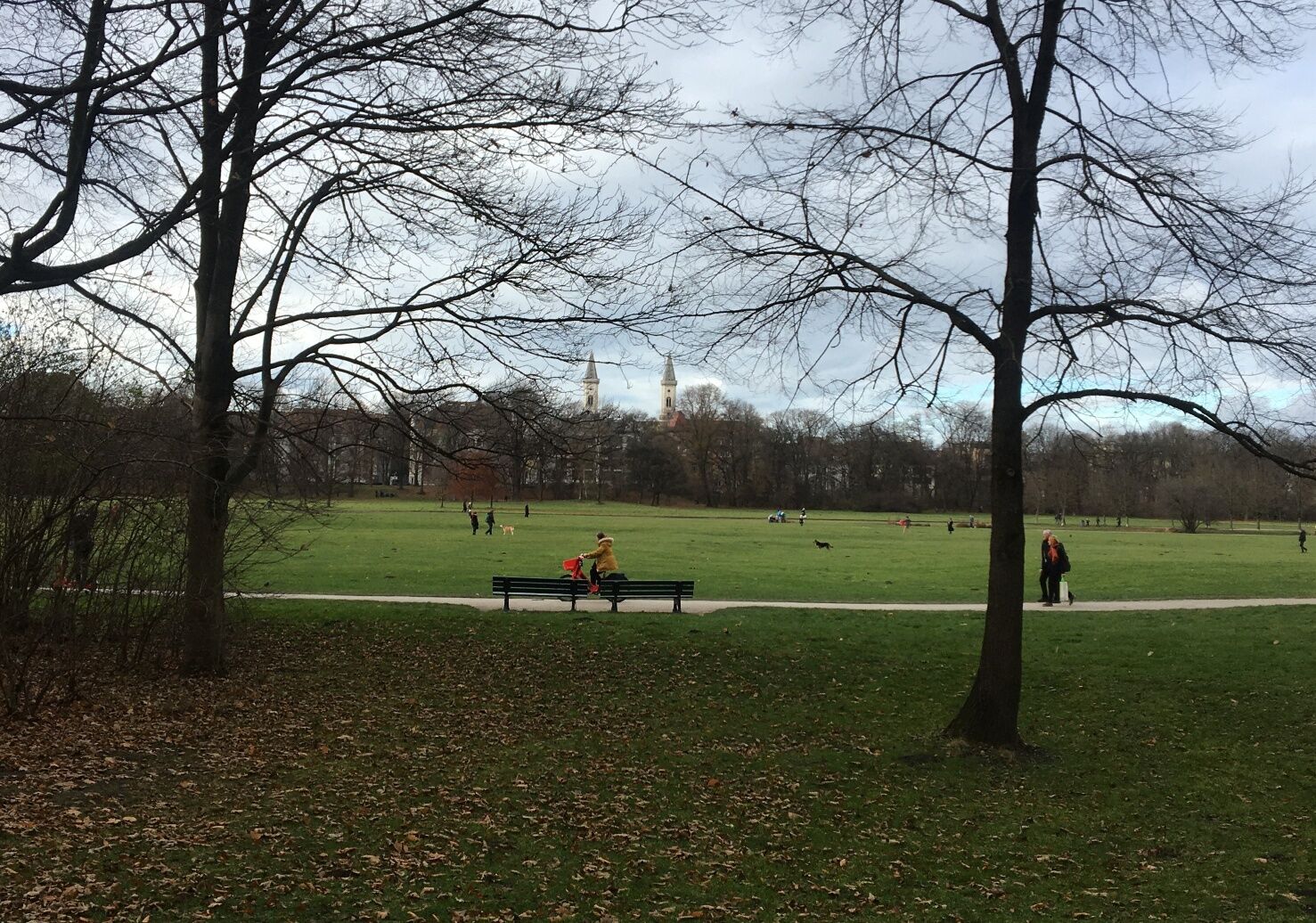
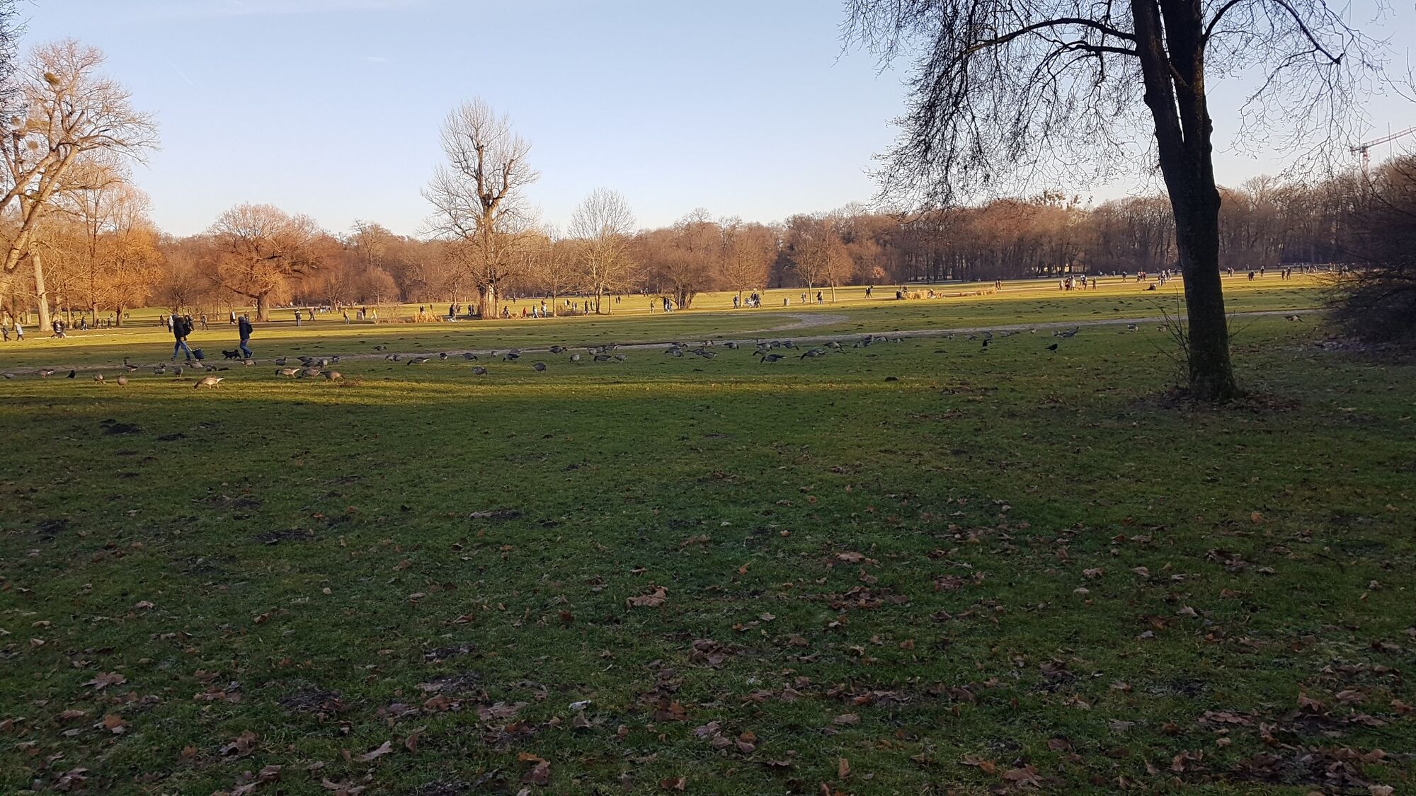
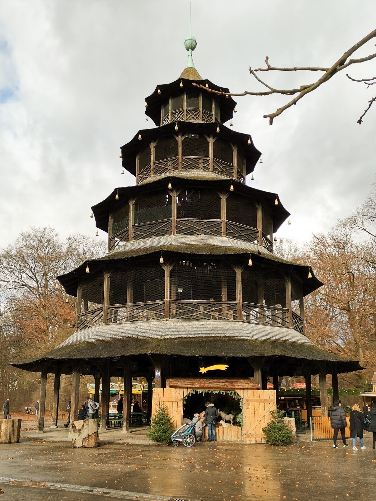
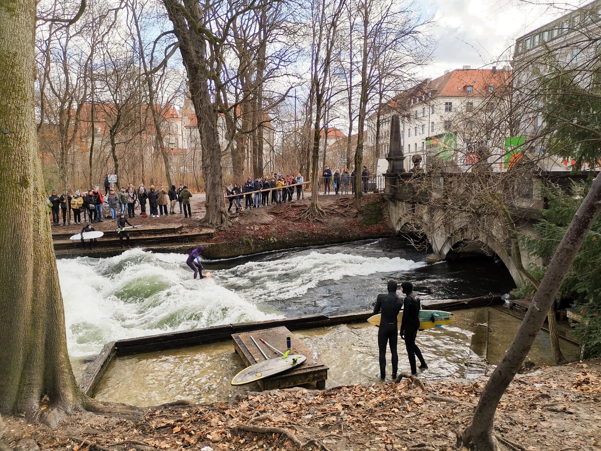
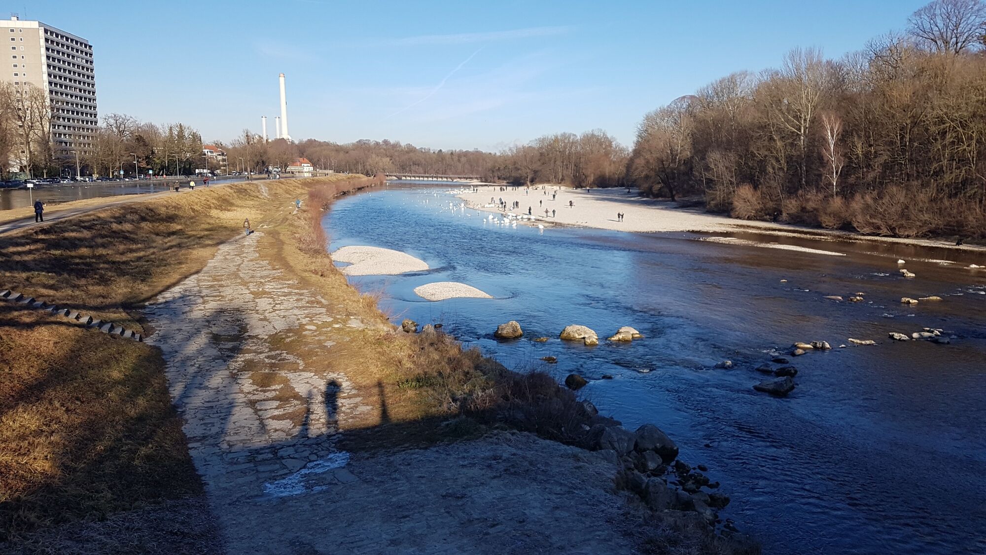
This easy route takes us into the animal world of the urban bustle of Munich. We experience a day full of animals in the urban jungle. On about 16km you can discover all kinds of animals in the parks and...
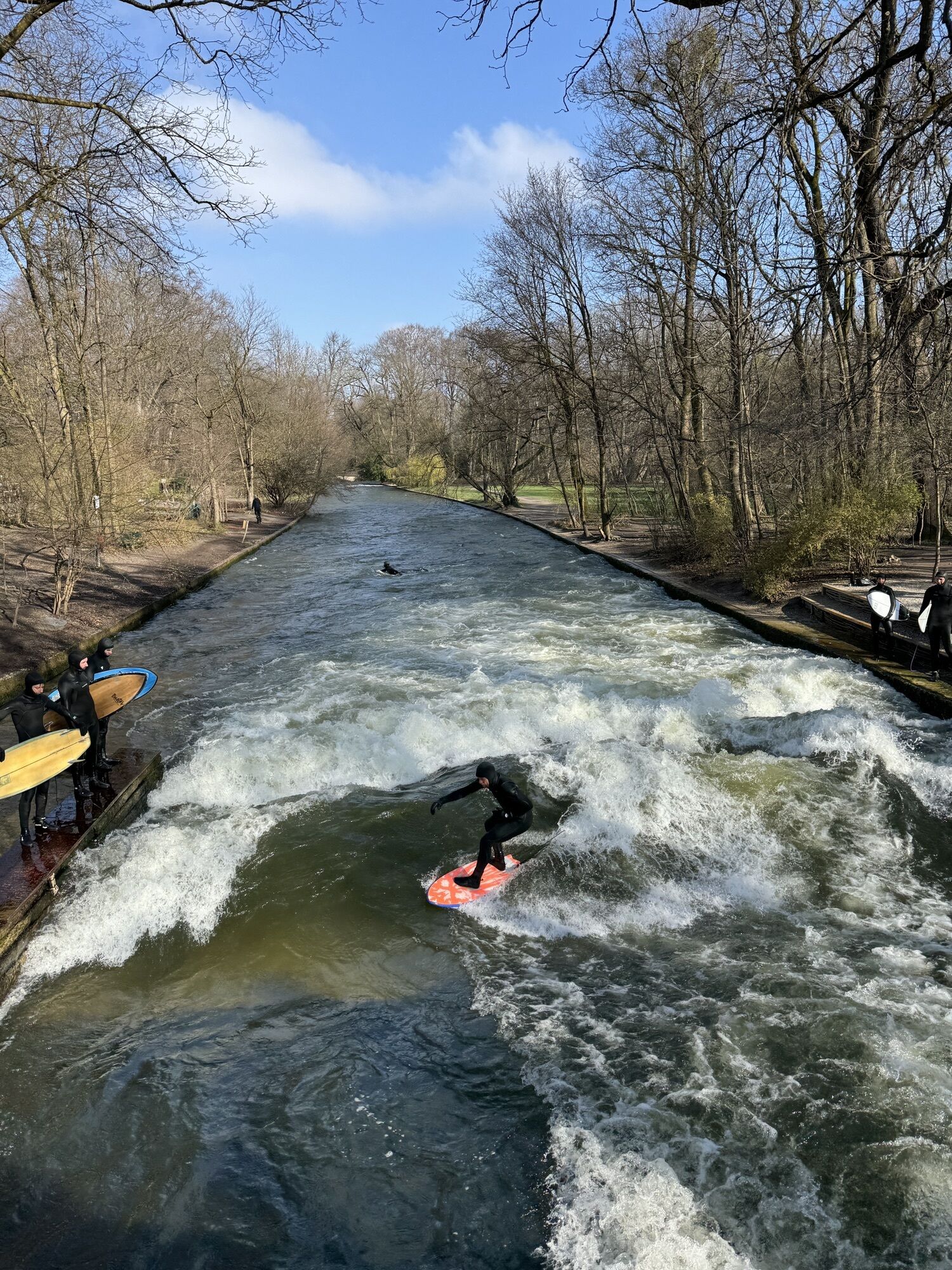
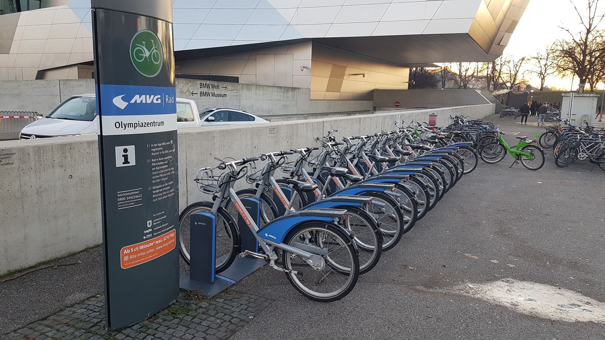
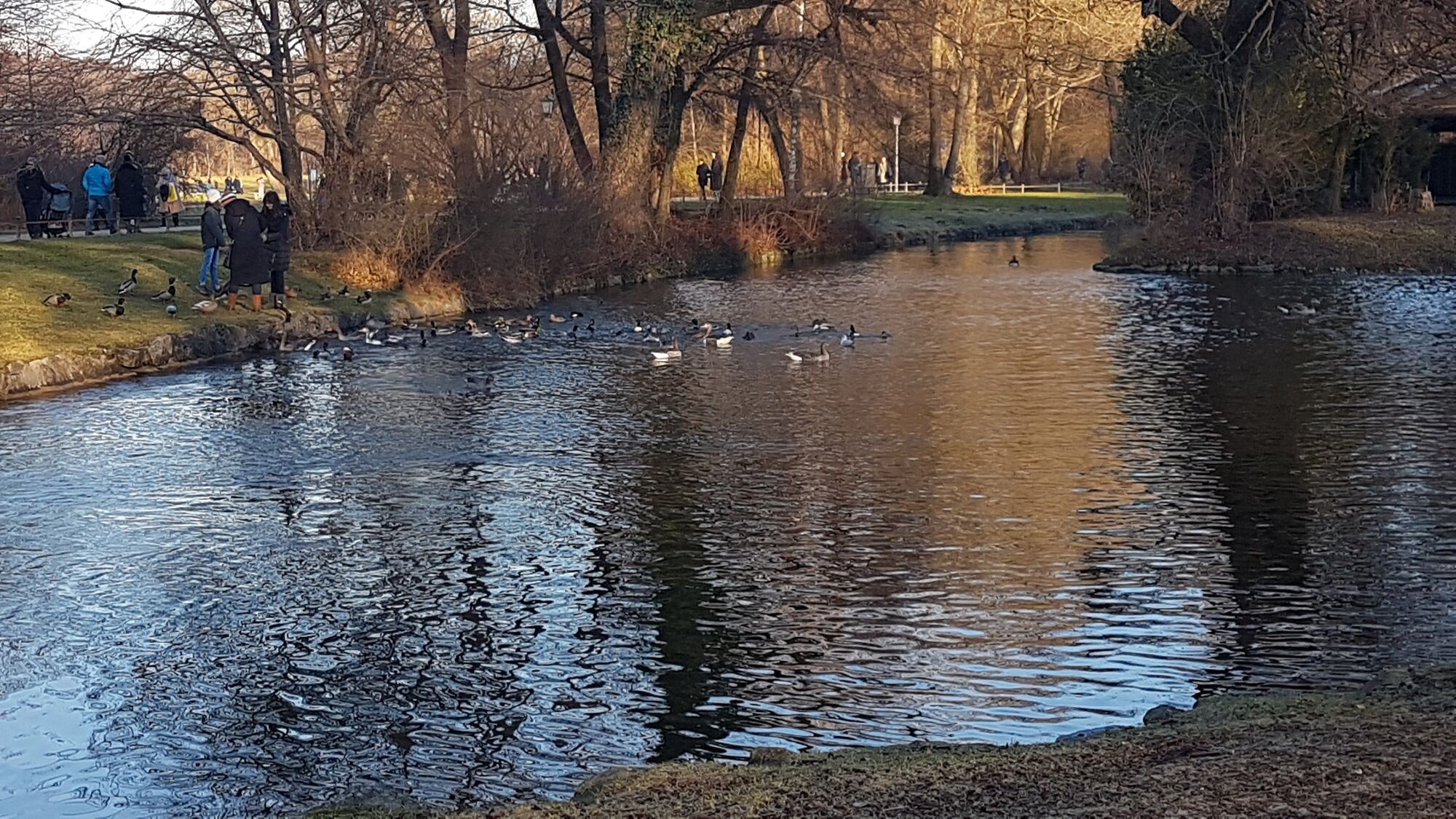
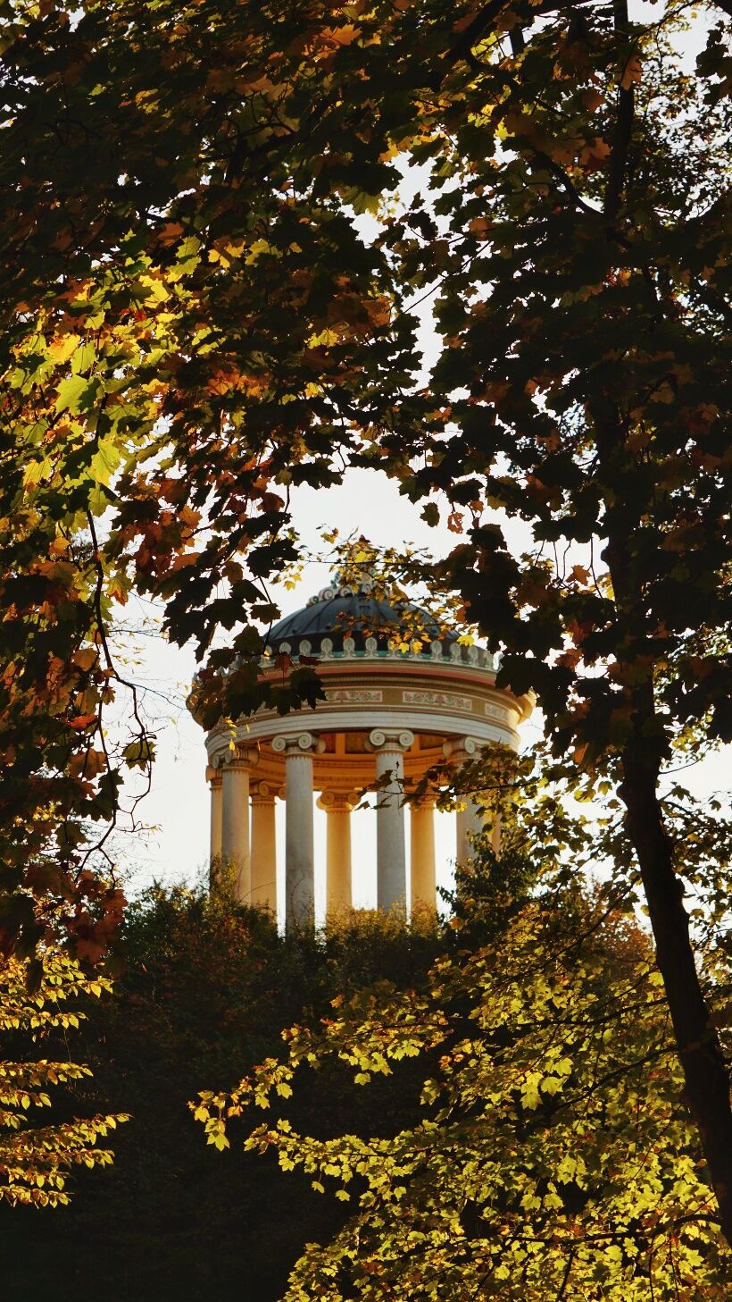
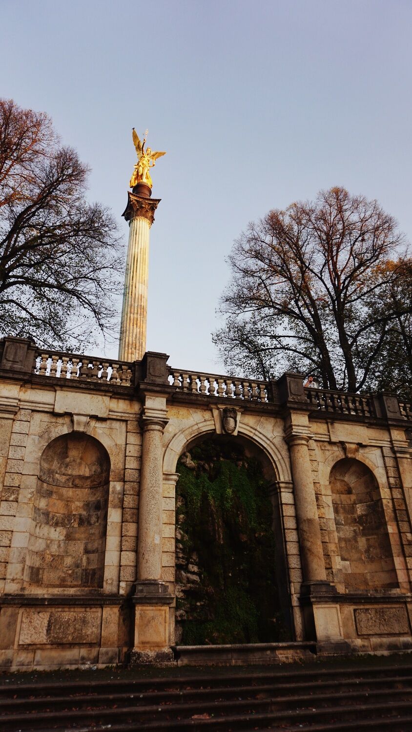
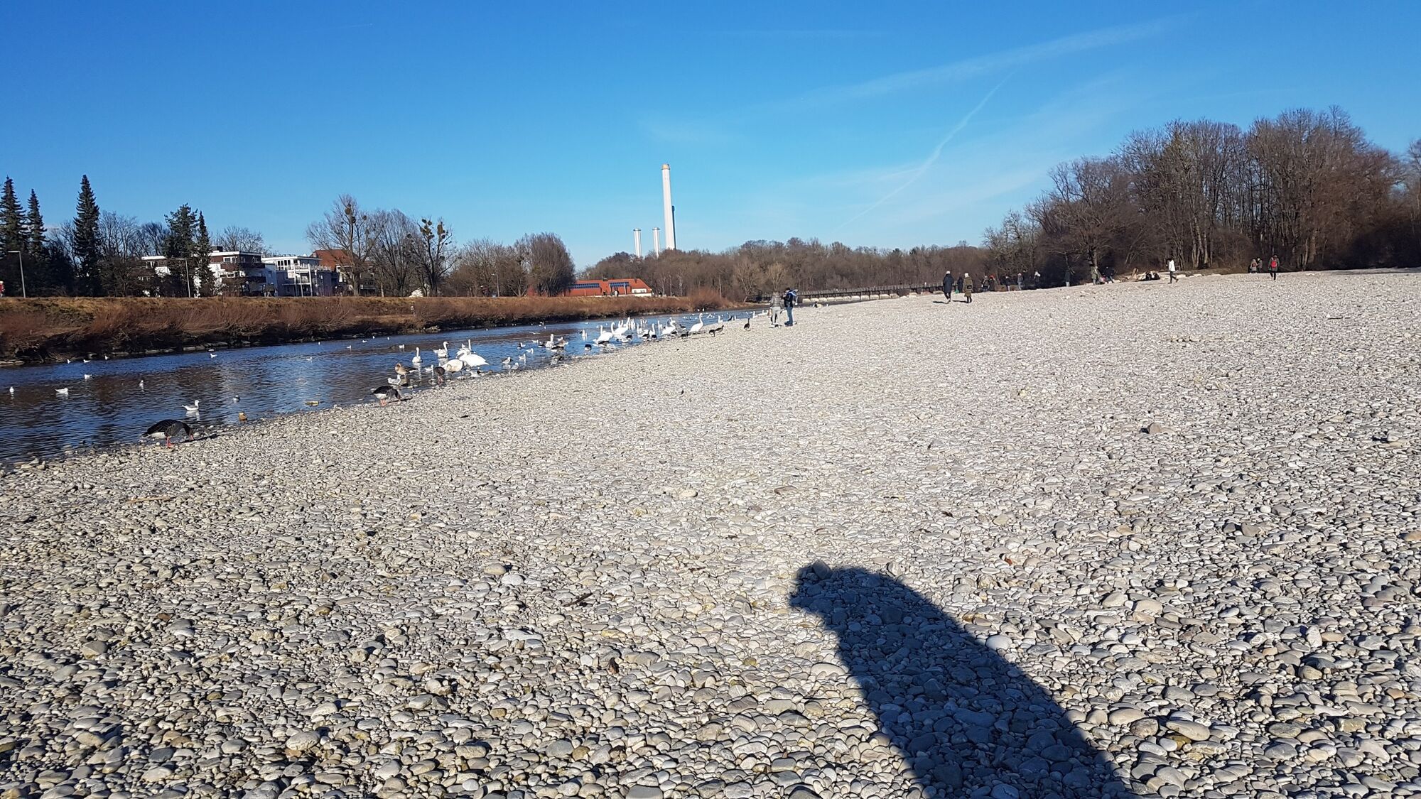
This easy route takes us into the animal world of the urban bustle of Munich. We experience a day full of animals in the urban jungle. On about 16km you can discover all kinds of animals in the parks and along the Isar river. Starting with the underwater world of the Sealife, the hike winds through the English Garden along the Isar to the zoo Hellabrunn. Accompanied by cackling geese, swans, squirrels and with a little luck even deer we experience a day of animal pleasure. This tour shows that even in the urban environment of the big city, numerous animals in Munich. MVG bikes can be rented along the tour. Through the selected route, urban aspects such as rental bikes can be ideally combined with the Munich nature experience. Stroll through "Munich in a different way" and enjoy the animal aspects of a big city.
Translated with www.DeepL.com/Translator (free version)
City Map Munich - Free of charge available at the Rathhaus
Smartphonedrinking bottlesmall Backpacksolid shoesMVG-More App
partly no winter service
Follow the signs to Olympiapark München and use the designated paid parking spaces. In the Olympic Park the five to ten minute walk is signposted.
Address visitor parking for your navigation system: Willi-Daume-Platz 1, 80809 Munich
By public transport:Take the underground line 3 to the stop Olympiazentrum. From there the footpath (about ten minutes) is signposted with SEA LIFE Munich posters.
You live a little further away? Travel by train, save on parking and protect the environment. - Tickets are available here.
(Source: Website Sealife)
Translated with www.DeepL.com/Translator (free version)
The connections can easily be called up at www.mvg.de .All prices can be viewed here. It is recommended to buy the day ticket.
Parking deck at the Olympic Tower - directly next to the SeaLifeTip: Parking is free under the high-rise buildings in Connelystrasse
This tour is a part of the project "Munich in a different way" and is especially for students with children.
MVG bikes can be rented along the entire route to shorten the distances.
Beliebte Touren in der Nähe
- 4,5
Grünwald - Georgenstein
leichtWanderung 8,50 km - 3,0
Idyllischer Rundweg Lehel - Isarauen - Englischer Garten
mittelWanderung 10,4 km - 5,0
Die Isar entlang
leichtWanderung 16,1 km Isartal Pullach
leichtWanderung 10,6 km- 5,0
Isarrunde rund um den Flaucher by Wilson Holz
leichtWanderung 10,1 km Isar(Kanal)Wanderung | Rundweg von Thalkirchen nach Grünwald und zurück
leichtWanderung 17,0 kmSightseeing mit dem Rad durch München
mittelRadfahren 24,8 kmAuenstrasse - Grünwald 14 km
mittelLaufen 13,9 kmIsar West durch den Englischen Garten by Wilson Holz
leichtWanderung 13,0 kmVon Thalkirchen entlang der Isar nach Buchenhain über den Georgenstein
leichtWanderung 12,8 km

Wandern & Tracking


Verpasse keine Angebote und Inspirationen für deinen nächsten Urlaub
Deine E-Mail-Adresse wurde in den Verteiler eingetragen.