




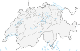


Tüürli Interlaken – Tasting walk
Hike under your own steam through the breathtaking scenery of the Holiday Region Interlaken and discover the untamed side of Switzerland. At five different stopping points, enjoy exclusive beers and wines...
Hike under your own steam through the breathtaking scenery of the Holiday Region Interlaken and discover the untamed side of Switzerland. At five different stopping points, enjoy exclusive beers and wines from around the region. Another culinary highlight awaits as a lunch at the "Oberländerhof" restaurant in Bönigen. The stunning views of turquoise Lake Brienz combined with the delicious drinks are sure to delight.
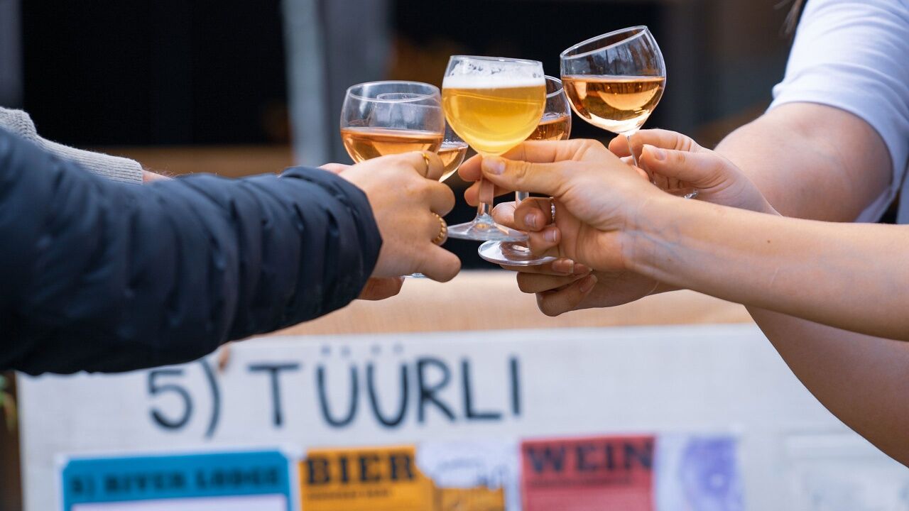
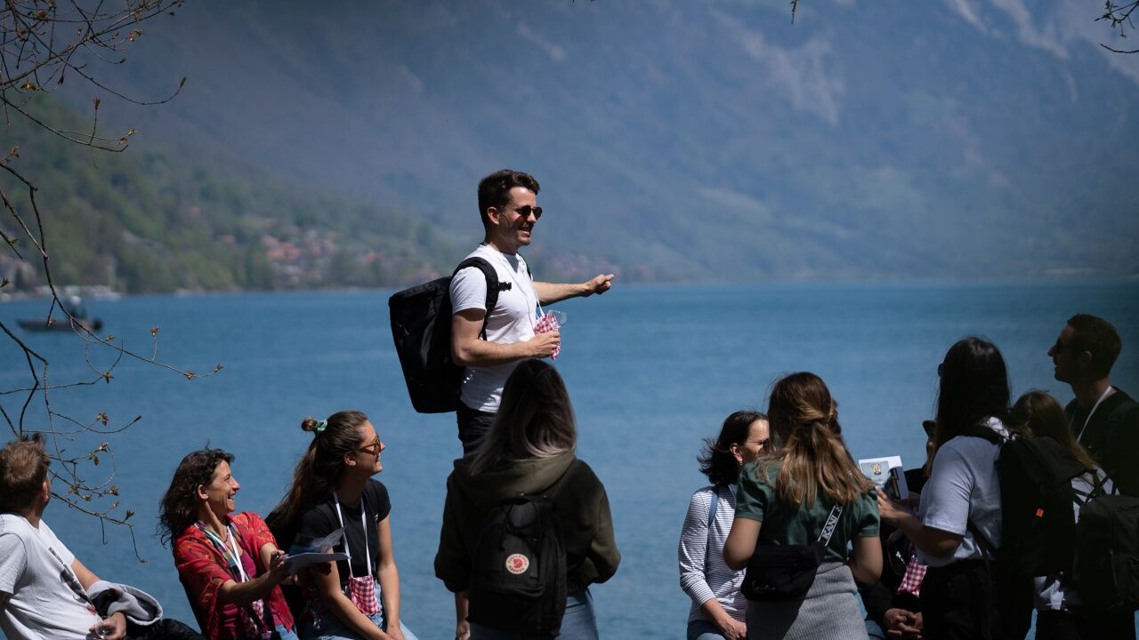
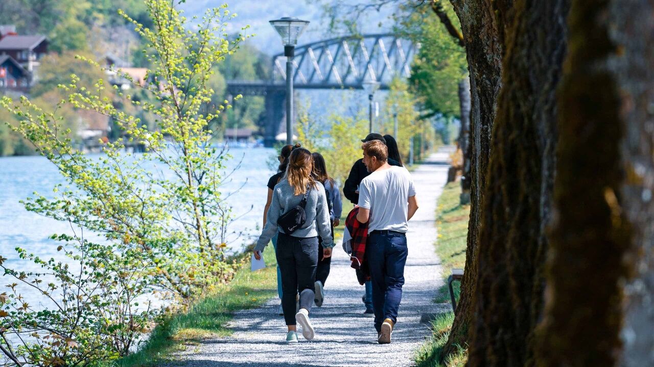
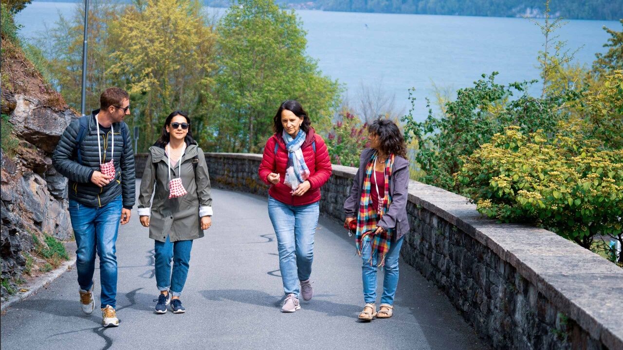
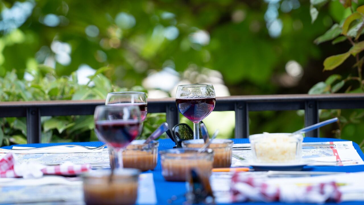
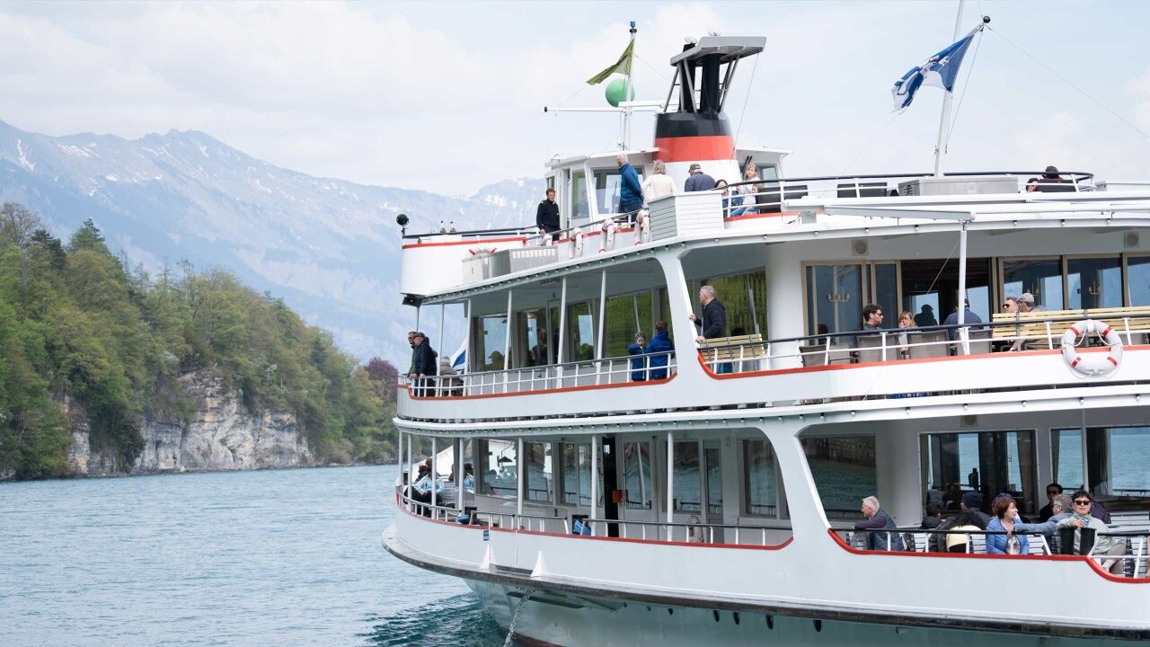
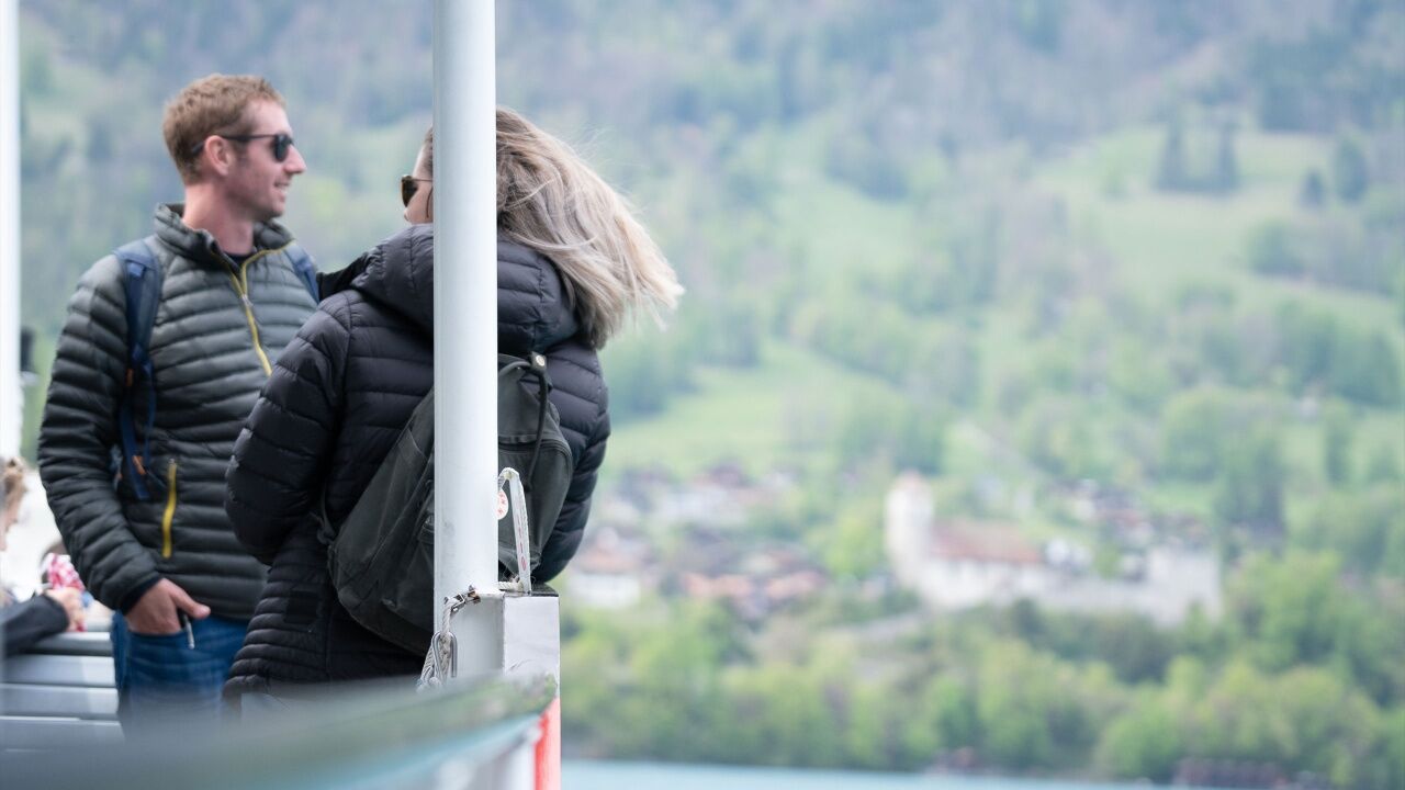
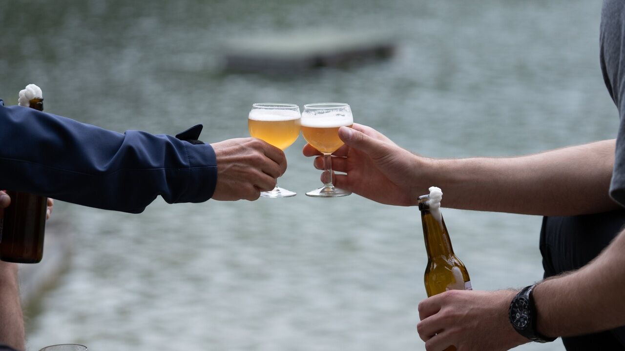

The walk starts at the Youth Hostel near Interlaken Ost station, where you pick up your starter package and enjoy a welcome drink. You then proceed along the turquoise river Aare to Lake Brienz and the Bönigen Lido (station 2). Here you degust a second drink. A nourishing "Tüürli z’Mittag" lunch awaits you at the Oberländerhof restaurant in Bönigen (station 3). After this sustenance, you board a cruise to Ringgenberg before heading up to the fourth station the idyllic Burgseeli Lido. Depending on the weather, you can also take a refreshing swim in the lake here. You then follow the right-hand bank of the Aare to the Riverlodge (station 5), where you enjoy your last drink to the fullest and round off the day in comfortable surroundings.
Wear sturdy footwear and suitable clothing for the weather.
We recommend arriving by public transport. The starting point is right next to Interlaken Ost station.
The Youth Hostel is a five-minute walk from Interlaken Ost station.
If the weather is fine, bring your swimming things for a refreshing dip in the Bönigen Lido or Burgseeli Lido.
Hol dir den Einblick Immer live vor Ort mit über 9.500 Webcams. In der Touren App von bergfex siehst du als Pro-User jetzt zu vielen Touren die passenden Webcams. So kannst du dir direkt die aktuellen Bedingungen ansehen.Beliebte Touren in der Nähe
- 4,3
Schnitzlerweg Axalp - extended
mittelWanderung 11,2 km - 4,8
Augstmatthorn
leichtWanderung 10,9 km - 5,0
Jägerstübli - Lombachalp - Augstmatthorn - Suggiturm
mittelWanderung 6,55 km - 3,7
Sieben Hengste
schwerWanderung 13,7 km - 3,8
Öpfelchüechliweg
leichtWanderung 4,70 km - 5,0
Schynige Platte - Faulhorn - First
schwerWanderung 16,8 km - 4,0
Niederhorn-Burgfeldstand-Gemmenalphorn-Justistal-Beatenberg
mittelWanderung 18,1 km - 5,0
Rundweg Interlaken-Harder Kulm
leichtWanderung 10,9 km - 3,8
Lobhornhütte / Sulseewli
mittelWanderung 7,14 km - 4,7
Schynige Platte - Daube - Gumihorn
leichtWanderung 5,86 km
Wandern & Tracking


Verpasse keine Angebote und Inspirationen für deinen nächsten Urlaub
Deine E-Mail-Adresse wurde in den Verteiler eingetragen.





