






Lahnradweg 3rd stage Marburg - Gießen
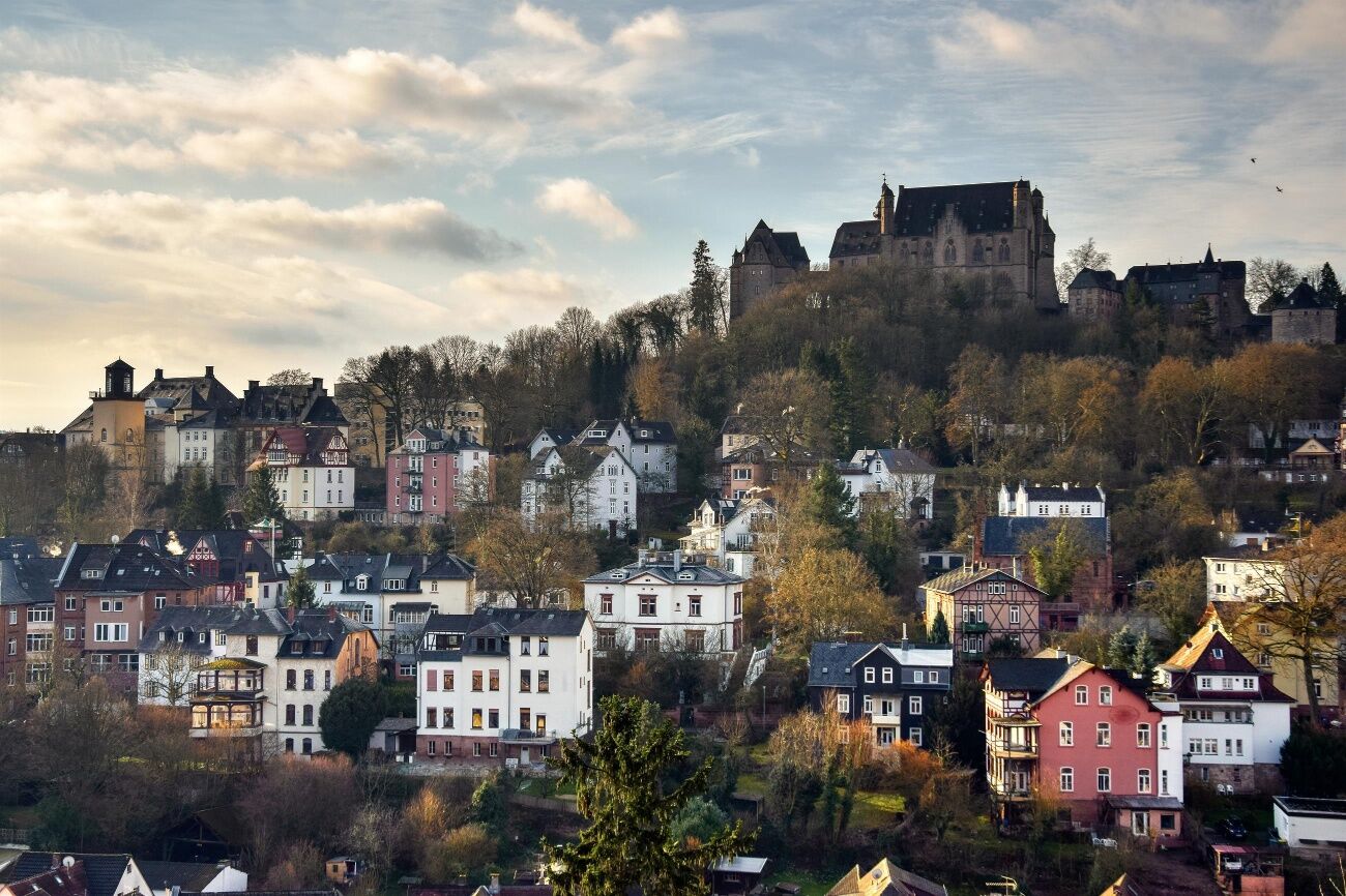
"So let's be happy!" - this is how the Latin title of the world-famous student song "Gaudeamus igitur" is translated into English. Both, Marburgand Giessen are university towns. And life in the two half-timbered...
"So let's be happy!" - this is how the Latin title of the world-famous student song "Gaudeamus igitur" is translated into English. Both, Marburgand Giessen are university towns. And life in the two half-timbered towns on the River Lahn is correspondingly lively.
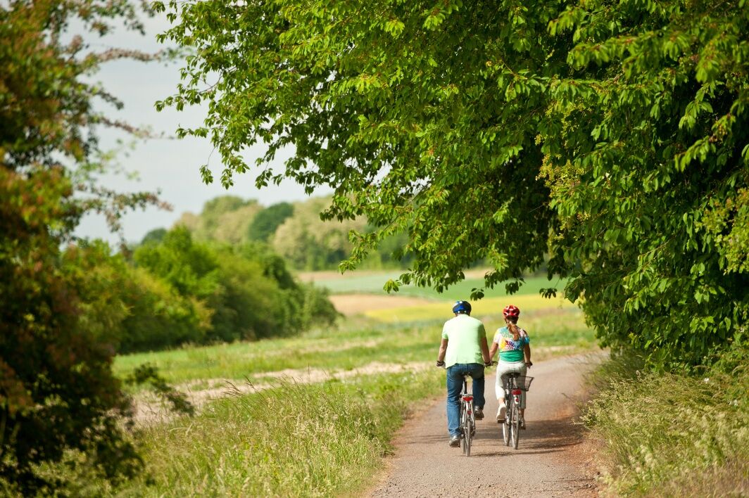
From Marburg, the Lahnradweg takes you happily past bathing lakes into Gleiberger Land, which is characterised by its striking castle ruins of Gleiberg and Vetzberg.
Near Wettenberg-Wißmar, the Wood + Technology Museum invites you to an informative and exciting visit. Also in Giessenthere is a lot to experience. Highlights such as the Lahnfenster Hessen, through which the underwater world of the Lahn can be explored, as well as the new castle, the armoury and the botanical garden are all waiting to be discovered. You can join in and experiment at the Mathematikum Museum. Numerous places to stay and eat as well as the good railway connections make Giessen a popular stage stop on the Lahnradweg.
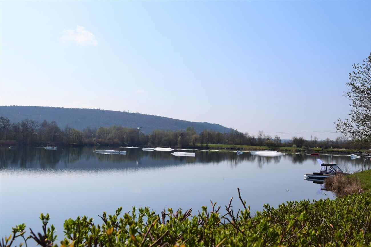
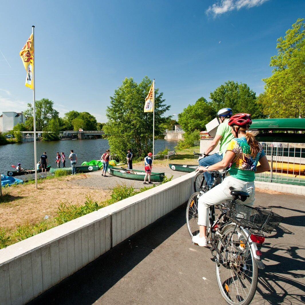

The next villages on the Lahnradweg are Fronhausen, Bellnhausen and Sichertshausen. At Salzböden, it is worth taking a detour into the romantic Salzbödetal valley. Passing Odenhausen and Ruttershausen, you now come to Lollar. The forest swimming pool at Lollarer Kopf promises a refreshing dip. There is another bathing opportunity at Wißmarer See. If you are curious, you can visit the wood and technology museum in Wißmar. The route continues over the motorway and then along the right and left banks of the Lahn to Giessen. Shortly before Giessen, a short stop at the Giessen Weststadt nature observation platform is recommended.
The lively university town of Giessen is an ideal stage stop with its good railway connections and many places to stay and eat. And there is also plenty to explore here. Whether it's the Lahnfenster, Mathematikum, castle, watering can museum, armoury or botanical garden... variety is guaranteed!
ADFC regional map Lahntal scale 1:75,000 - BVA BikeMedia GmbH - 4th edition 2021 ISBN 978-3-96990-027-7 - 9,95 €
Trekking or touring bike (e-bike or conventional), spare inner tube and tools, water bottle and clothing suitable for the weather.
The Lahnradweg runs mainly on cycle paths, quiet side roads and country lanes. However, please observe the road traffic regulations and show consideration for other cyclists, agricultural vehicles and pedestrians.
Via the B3 to Marburg
Via the B3 or the B49 to Gießen
The railway stations of Marburg, Weimar, Fronhausen, Lollar and Giessen are located on the third stage.
The railway connections in Hesse are part of the Rhine-Main transport network.
All information about travelling by public transport can be found on the railway website.
There are several car parks in Marburg, but most of them charge a fee.
In Giessen you can park free of charge "an der Hessenhalle 2, 35398 Giessen". There are also several paid car parks.
Pack your swimming trunks! Lakes aren't the only places to swim on the way. The forest swimming pool in Lollar is one of the largest and most beautiful in the region.
Hol dir den Einblick Immer live vor Ort mit über 9.500 Webcams. In der Touren App von bergfex siehst du als Pro-User jetzt zu vielen Touren die passenden Webcams. So kannst du dir direkt die aktuellen Bedingungen ansehen.Beliebte Touren in der Nähe
- 4,5
Lahnradweg 3. Etappe flussaufwärts Gießen - Marburg
mittelRadfahren 37,2 km Lahnwanderweg 09. Etappe Lollar – Rodheim-Bieber
mittelWanderung 21,4 kmBiebertaler Entschleunigungsweg
leichtThemenweg 2,81 kmWieseck-Radweg: Grünberg - Gießen
leichtRadfahren 24,9 kmLahnwanderweg 07. Etappe Marburg – Fronhausen
mittelWanderung 24,5 kmLumda–Radweg: Lollar - Grünberg
leichtRadfahren 28,3 kmLahnwanderweg 08. Etappe flussaufwärts Lollar - Fronhausen
leichtWanderung 11,9 kmRote-Rinder-Rundweg im Gleiberger Land
leichtThemenweg 1,30 kmFilmerlebnistour Marburg
mittelThemenweg 1,93 kmKelten-Römer-Pfad
mittelWanderung 30,9 km
Wandern & Tracking


Verpasse keine Angebote und Inspirationen für deinen nächsten Urlaub
Deine E-Mail-Adresse wurde in den Verteiler eingetragen.





