


Paddeltour um die Insel Rehja 10km, Kajaani Finnland


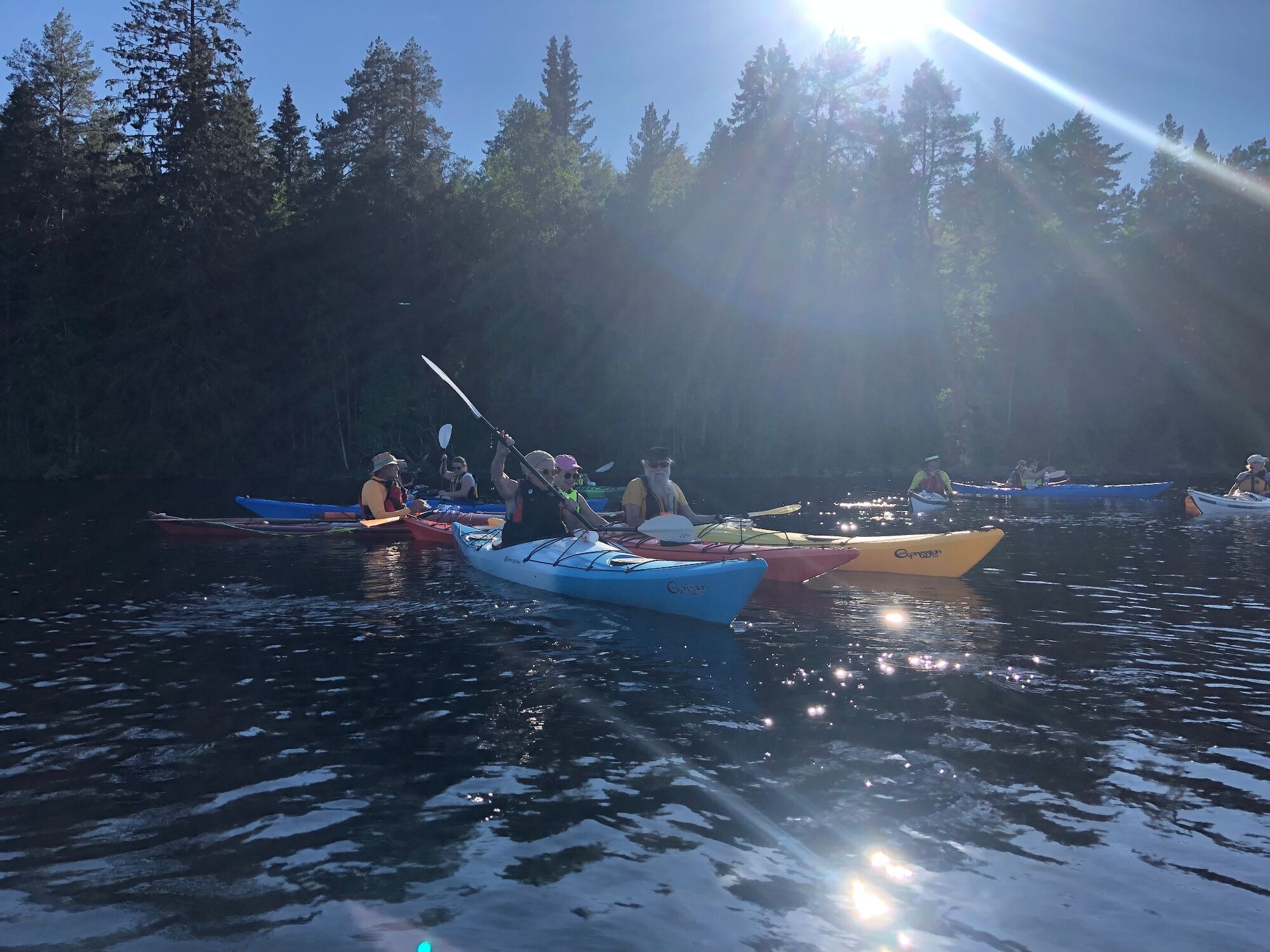
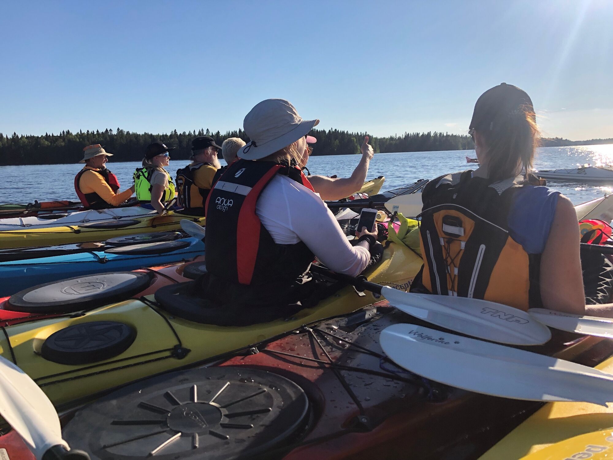
You can start your kayaking trip from Kajaani's city borough Kuurna. Here also the local kayaking club boat house is situated. A recently built kayak pier guarantees an easy start.
You paddle past the...
You can start your kayaking trip from Kajaani's city borough Kuurna. Here also the local kayaking club boat house is situated. A recently built kayak pier guarantees an easy start.
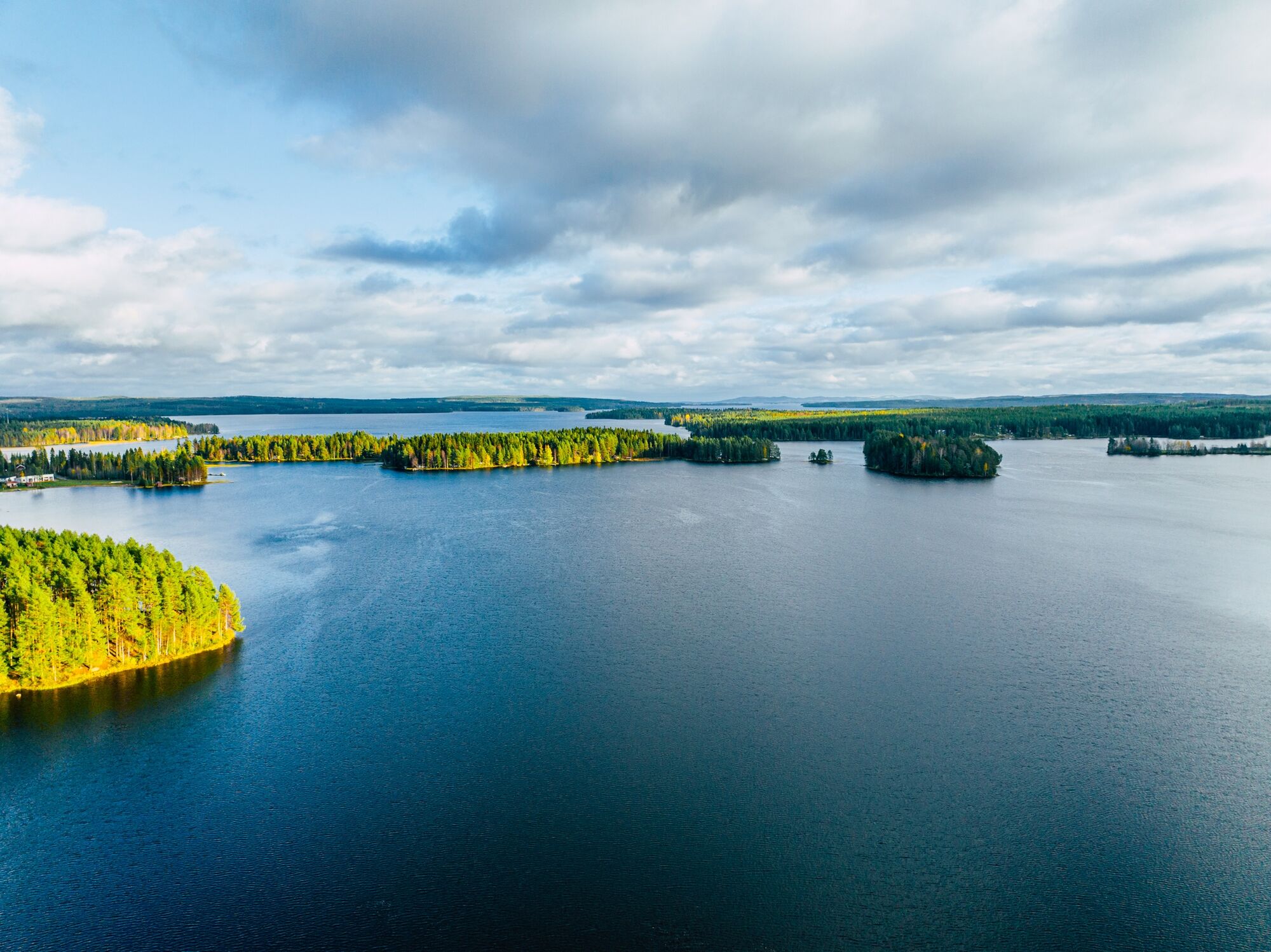
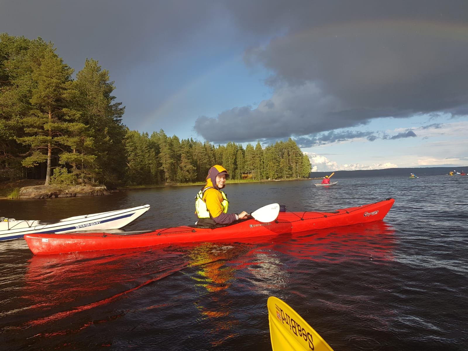
You paddle past the island Pukkisaari and follow along the shore of Purnuniemi until you see the island Rehja. You can circle the island in both directions – base your decision on the wind direction and speed.
After you have paddled around Rehja you follow the same shore back towards your starting point. The highlight of this tour is the shallow pass way between two islands that form this one island Pukkisaari. Be aware of rocks under the water surface. The water body forms a little pond between those islands - a very idyllic and photogenic spot.
From here you follow the shoreline back to your starting point.

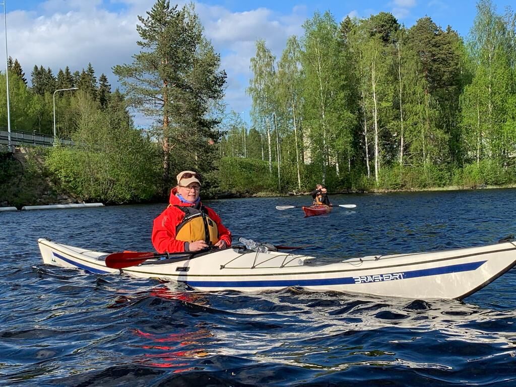
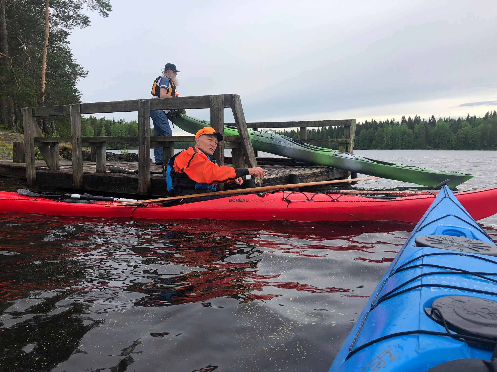
Start at the boat house. There is a kayak pier for an easy start.
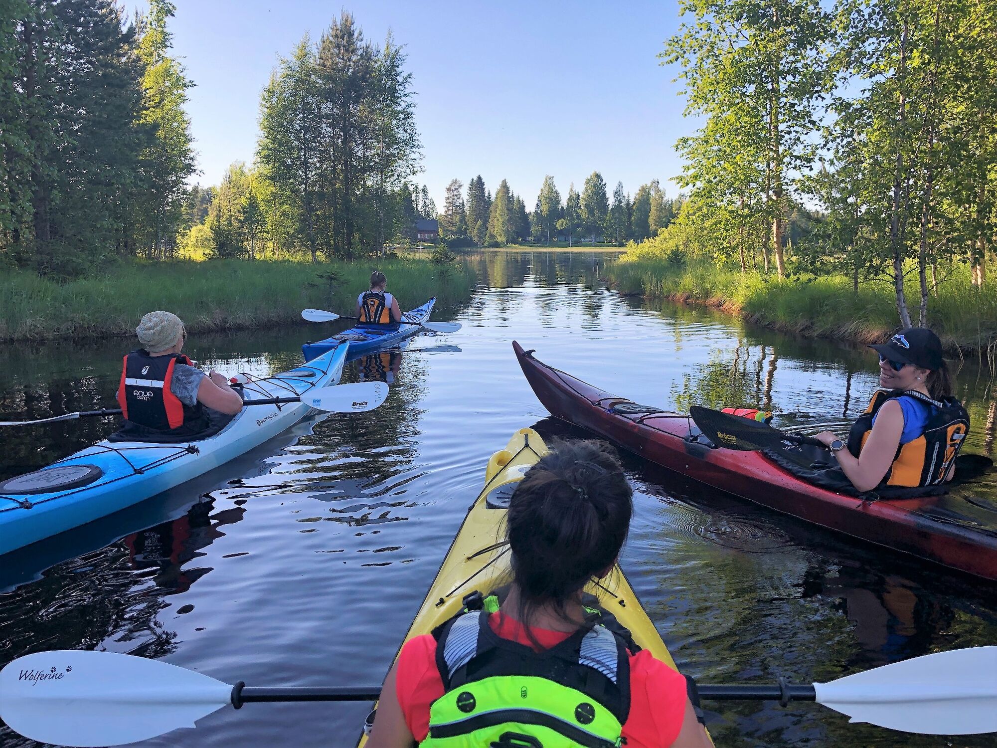
Paddle between the islands Linnasaari and Pukkisaari towards Purnuniemi peninsula. Follow the shore line until you see the island of Rehja.
Circle the island and return the same way. This time finde the pathway between the two islands that form Pukkisaari.
Paddle through the natual canal in order to get to the North side of Pukkisaari island. Follow the opposite shoreline back to the boat house, your starting place.
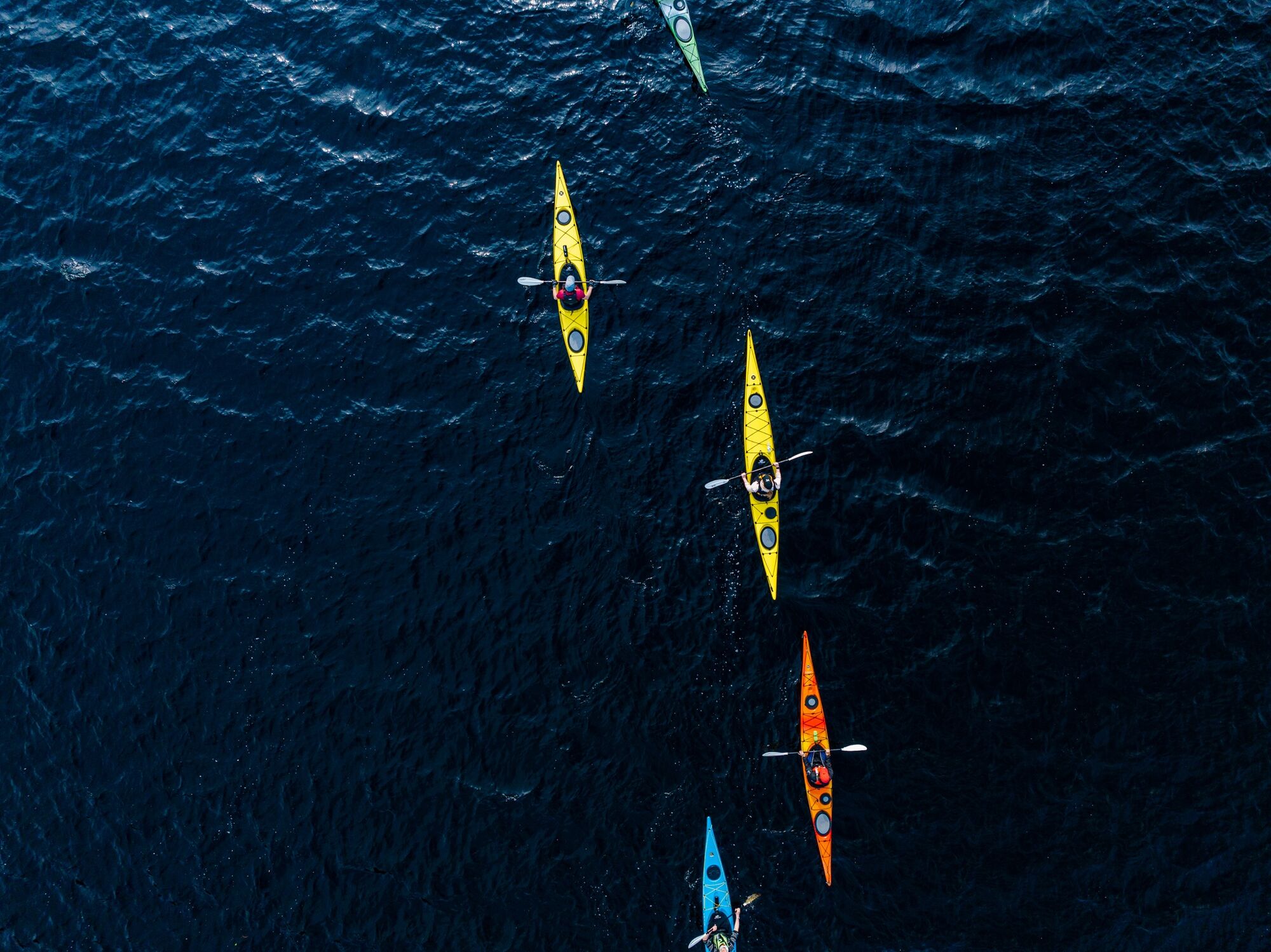
Suitable for kayaks and canoes.
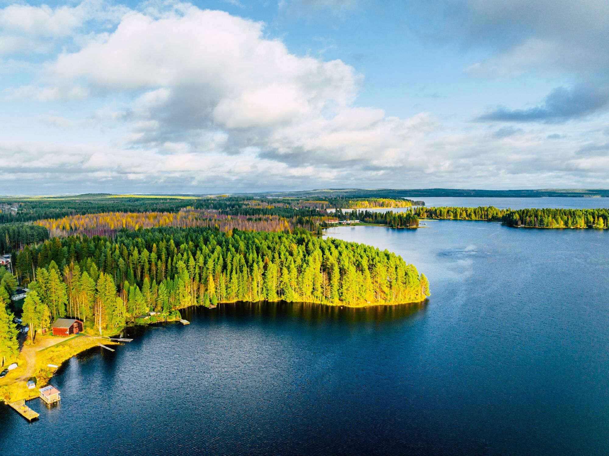
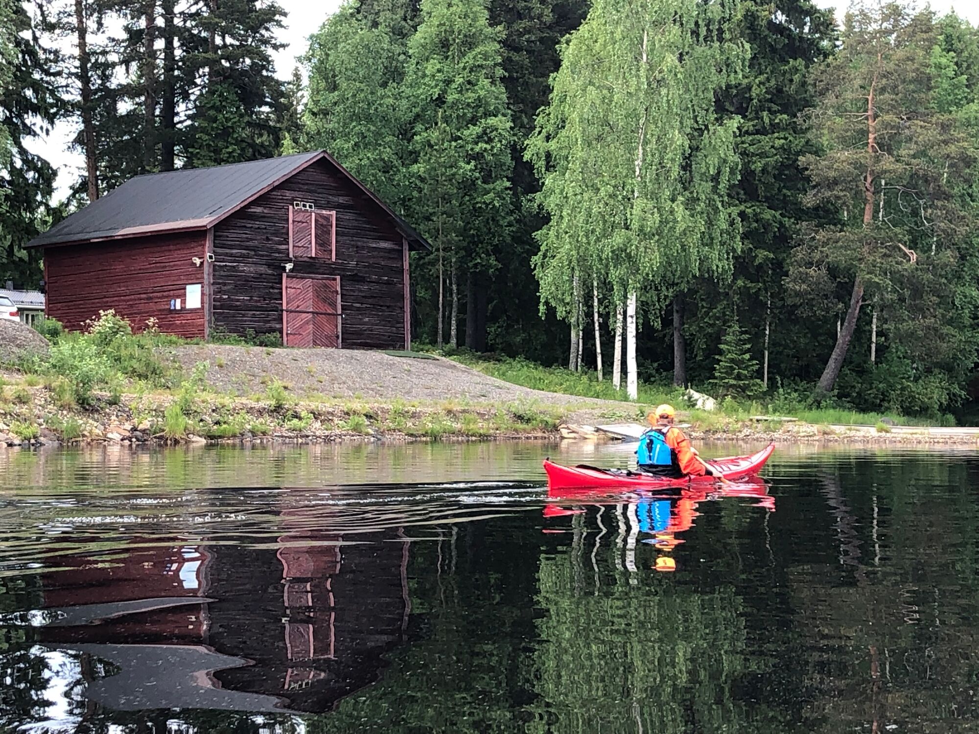
The route is suitable for both beginners and experienced paddlers. There are no streams or rapids along the way. The route mainly follows narrow water areas along peninsulas and islands, no open water areas to be crossed. In summer, there may be some motorboat traffic at the start in the marina area. Remember that many of the shores are inhabited and therefore respect privacy - so don’t paddle too close to the shore.
Before the excursion, it is advisable to acquire the necessary maps and guides and check the weather forecast.
The address of the starting point is Kuurnantie 97-99, 87250 Kajaani.
Here is the google maps link.
No public transport to the starting point.
There are free parking places at the end of the gravel road, next to the boat house.
Find more information from Metsähallitus, Parks and Wildlife Finland here: Canoeing and Kayaking in Finland.
You can start this tour also from Petäisenniska. There you find a boat slipway and a fireplace.
There are several fireplaces on the island Rehja - choose the one most protected from the wind today.
You can start also here: Petäisenniska google link.
Beliebte Touren in der Nähe
-
Kainuu-Teerroute Etappe 3: Sotkamo - Kajaani 36 km
schwerKajak / Kanu 36,0 km -
Kuluntalahti - Rehjansaari melontareitti 8/16 km, Kajaani
mittelKajak / Kanu 7,18 km -
Katzen-, Ziegen- und Schlossinseltour 6 km, Kajaani Finnland
mittelKajak / Kanu 5,73 km -
Einfache Inselumrundung Pukkisaari 4km, Kajaani Finnland
leichtKajak / Kanu 4,15 km -
Tour de Nuas 85 km, Vuokatti Finnland
schwerFernradweg 84,6 km -
Sotkamo - Kajaani Kreuz und Quer 220 km, Vuokatti Finnland
schwerFernradweg 218,9 km -
Arppen metsä Waldrundweg 2,2 km, Kajaani Finnland
leichtWanderung 2,06 km -
Kuurnan melontatallilta kauppatorille 6 km, Kajaani
mittelKajak / Kanu 5,97 km -
Trip to the island of Rehja by paddling, 7 km, Kajaani
mittelKajak / Kanu 7,23 km -
Pirunvaara - Kirkokallio, Kajaani Finland 13 km
mittelMountainbike 11,9 km
Wandern & Tracking


Verpasse keine Angebote und Inspirationen für deinen nächsten Urlaub
Deine E-Mail-Adresse wurde in den Verteiler eingetragen.