







Stoos - village cross country ski trail
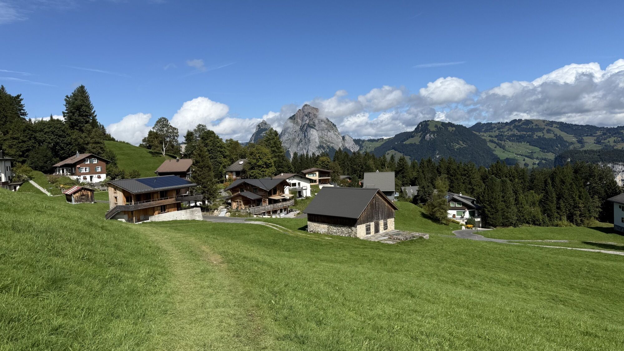

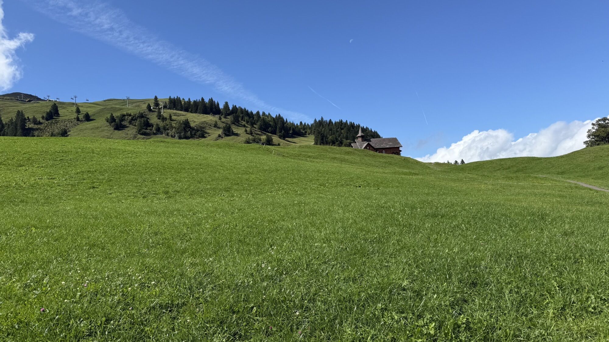
Located at 1300 meters, the cross-country ski trail Stoos village is mostly above the fog line in the sunshine. The entrance is at the mountain school Stoos. There are only a few meters of altitude to...
Located at 1300 meters, the cross-country ski trail Stoos village is mostly above the fog line in the sunshine. The entrance is at the mountain school Stoos. There are only a few meters of altitude to cover. On the way you have a beautiful view of the Grossen Mythen. The trail is groomed for classic and skating. The steepest funicular in the world takes cross-country skiers from Schwyz-Schlattli up to the mountain village of Stoos.

Then follow the signs for the cross-country ski trail.
Verleih:
Odermatt Sport Stoos
Suter Sport Stoos
Stoos Shop
Langlaufski Service:
Odermatt Sport Stoos
Suter Sport Stoos
Stoos Shop
The cross-country ski trail is open only during daylight hours, there is no last trail check after closing time.
By car on the A4 to the Schwyz exit, then in the direction of Muotathal to the valley station of the large funicular Schwyz-Stoos or by car on Morschacherstrasse (at Wolfsprung), then follow the signs to Morschach and continue to the valley station of the small cable car Morschach-Stoos.
By train to Schwyz-Seewen station, then by bus to the valley station of the large funicular Schwyz-Stoos (line 501 Schwyz - Muotathal) or by train to SBB Brunnen station, then by bus to the valley station of the small cable car Morschach-Stoos.
Parking is available at the valley station of the Schwyz-Stoos funicular and the cable car Morschach-Stoos.
Stop at a cozy restaurant on the Stoos.
Hol dir den Einblick Immer live vor Ort mit über 9.500 Webcams. In der Touren App von bergfex siehst du als Pro-User jetzt zu vielen Touren die passenden Webcams. So kannst du dir direkt die aktuellen Bedingungen ansehen.Beliebte Touren in der Nähe
- 4,8
Gratwanderung Klingenstock
leichtWanderung 9,36 km - 4,6
Rundwanderung
leichtBergwandern 12,9 km - 4,3
Mythenweg - Bergwanderung auf den Grossen Mythen
schwerWanderung 3,40 km - 4,4
Kleiner Mythen
mittelWanderung 6,31 km - 4,5
Brunni-Feuerstellen-Rundwanderung
leichtWanderung 11,5 km - 4,7
Mythen via Ibergeregg
mittelWanderung 9,73 km - 3,9
Gnipen - ab Goldau - Rundwanderung
mittelWanderung 10,6 km - 5,0
Wanderung entlang der Mythen, Alp "Zwüschet-Mythen"
mittelWanderung 10,5 km - 4,8
Holzegg - Grosser Mythen - Restaurant Grosser Mythen - Alpwirtschaft Brunnialp
mittelWanderung 5,66 km - 4,7
Rundwanderung: Alplersee - Rophaien - Spilauersee - Lidernenhütte
schwerWanderung 15,5 km
Wandern & Tracking


Verpasse keine Angebote und Inspirationen für deinen nächsten Urlaub
Deine E-Mail-Adresse wurde in den Verteiler eingetragen.





