







Glatten (2504 m.a.s.l.)
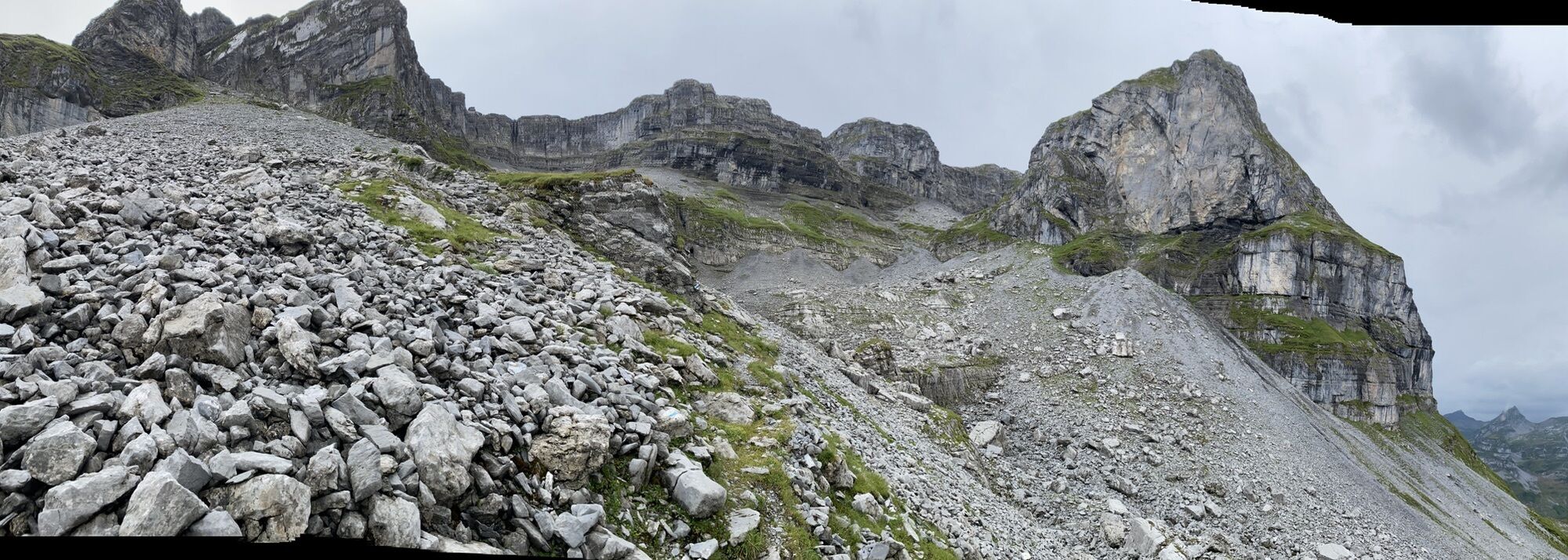
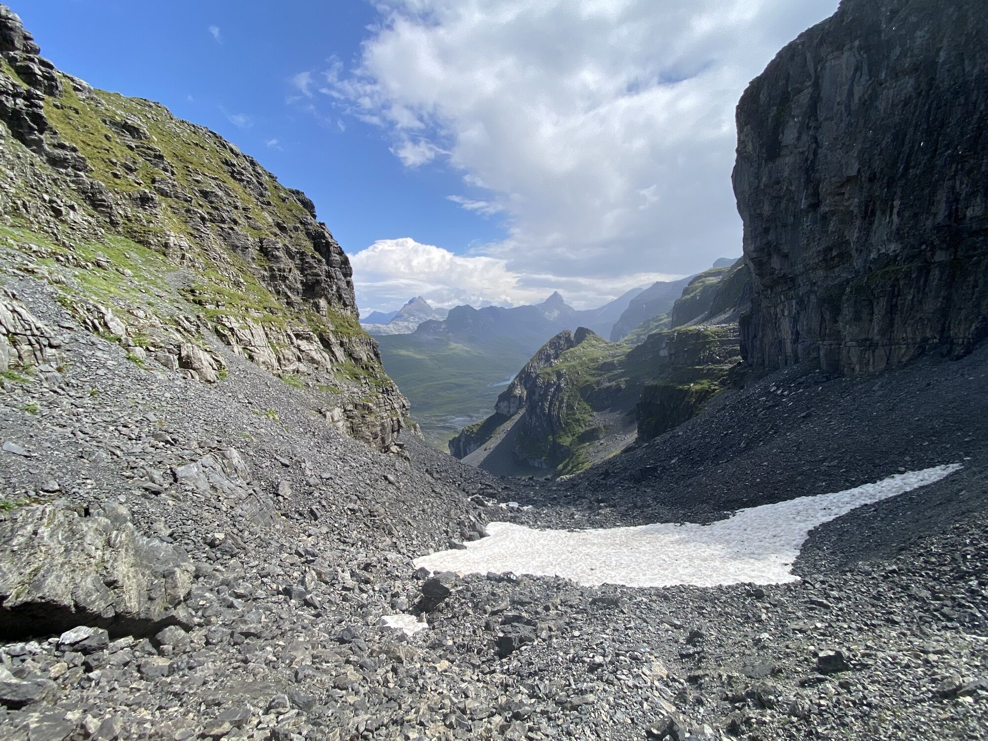
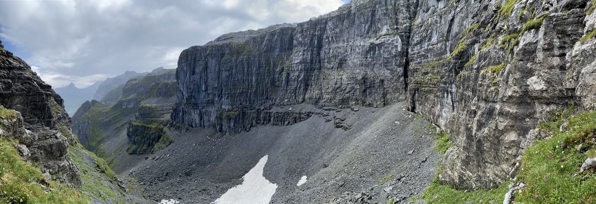
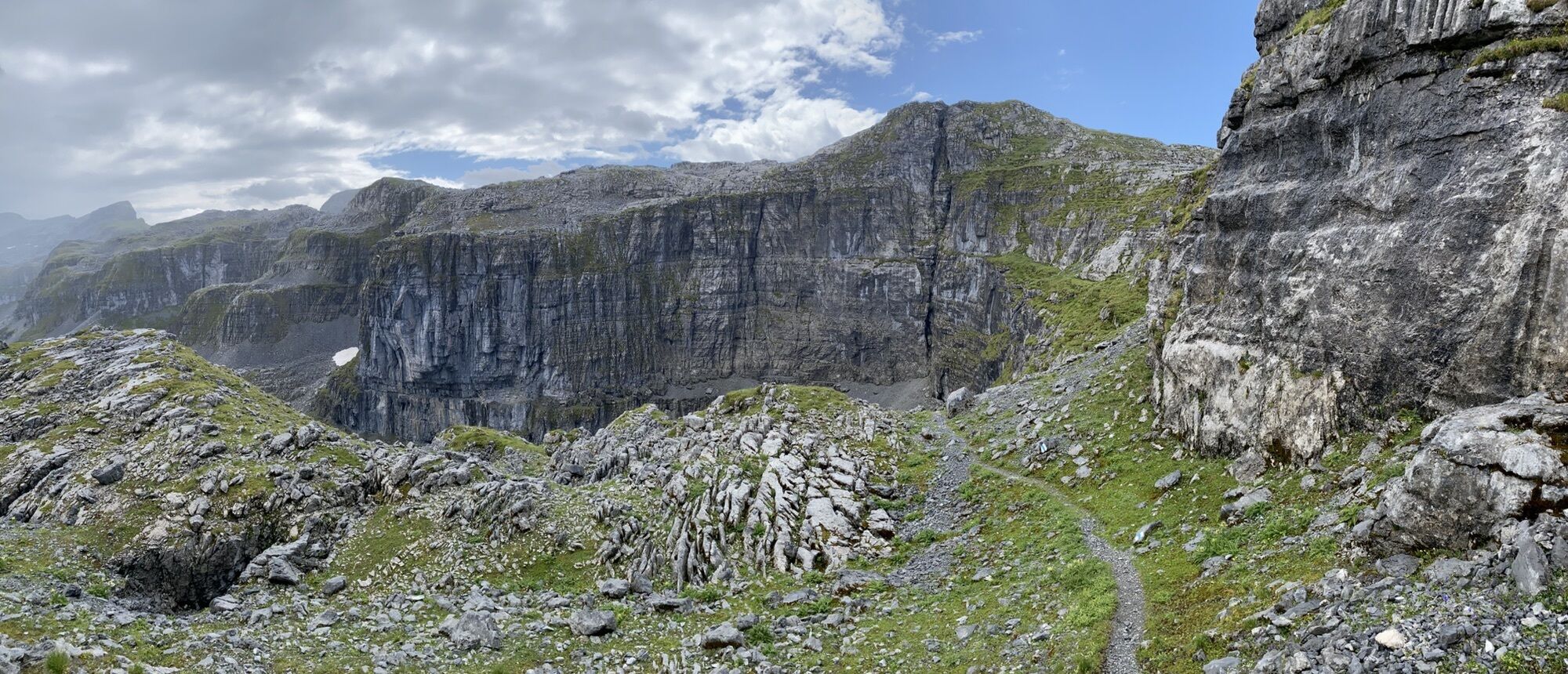
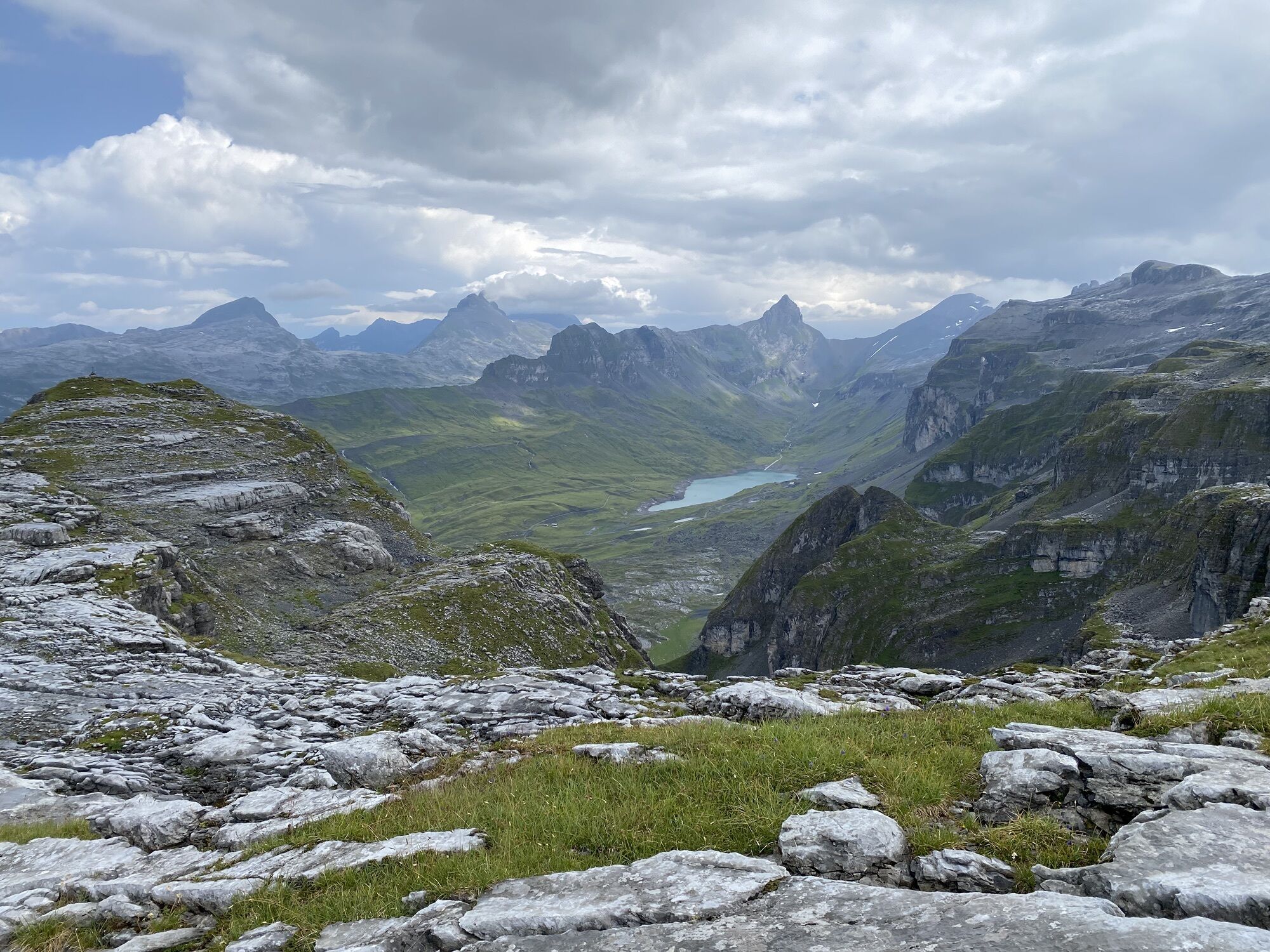
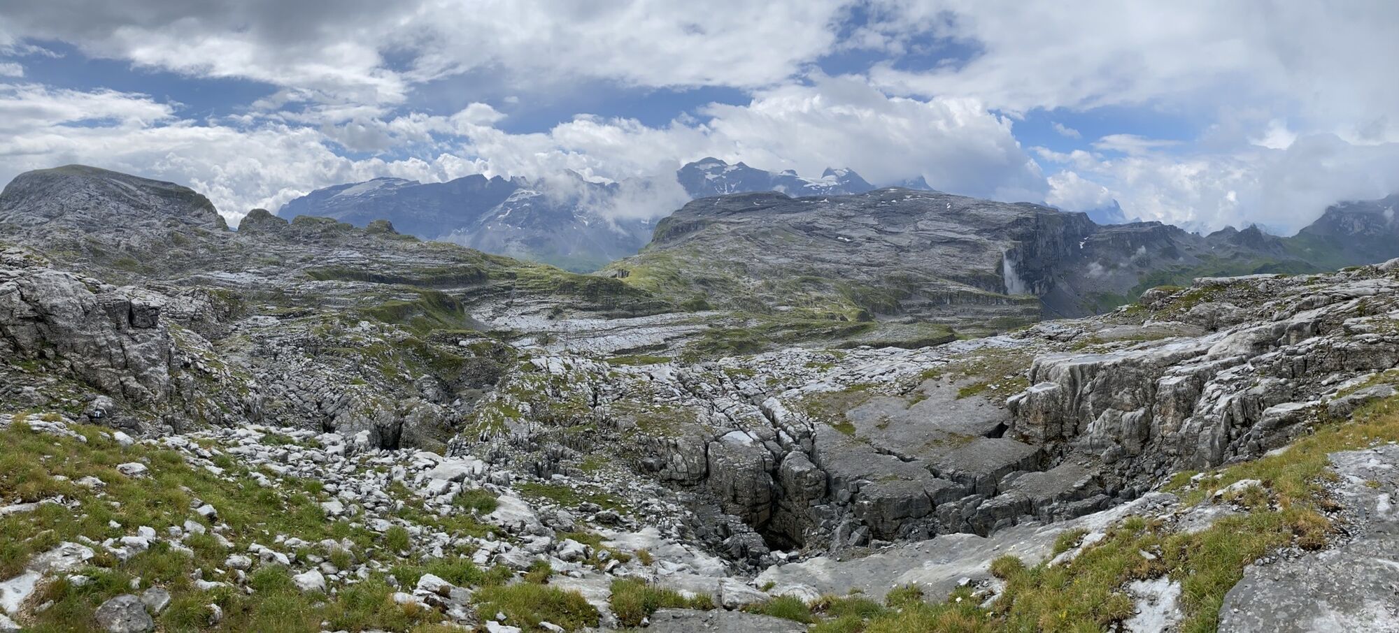
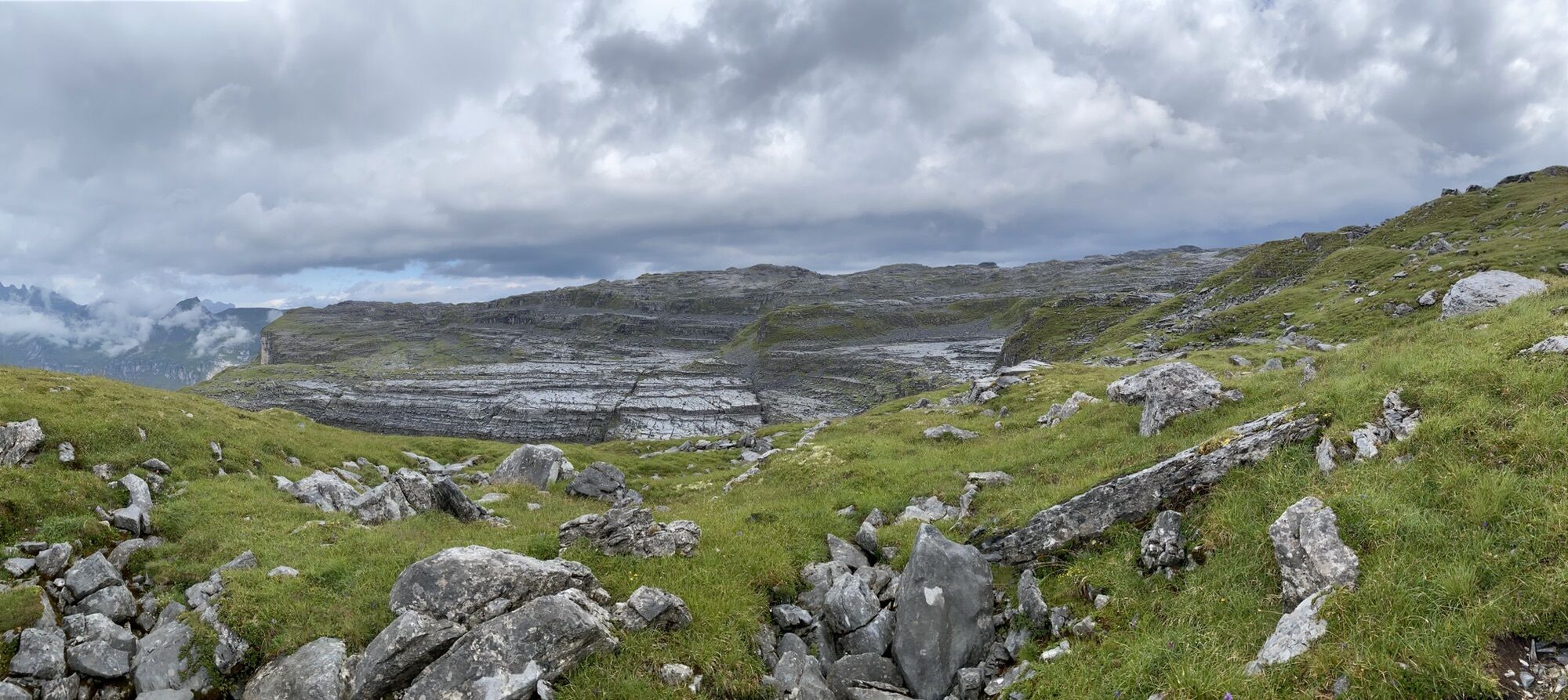
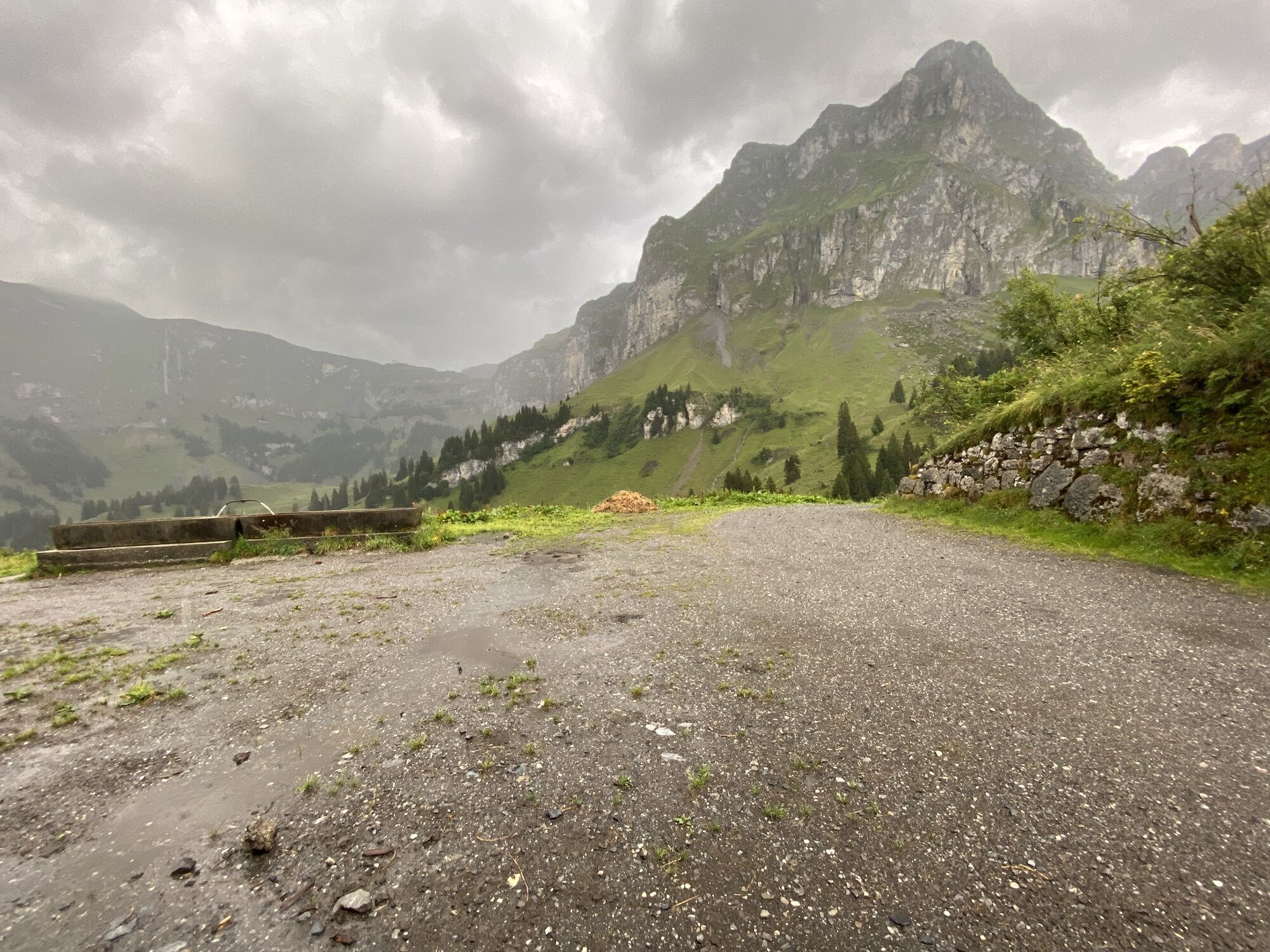
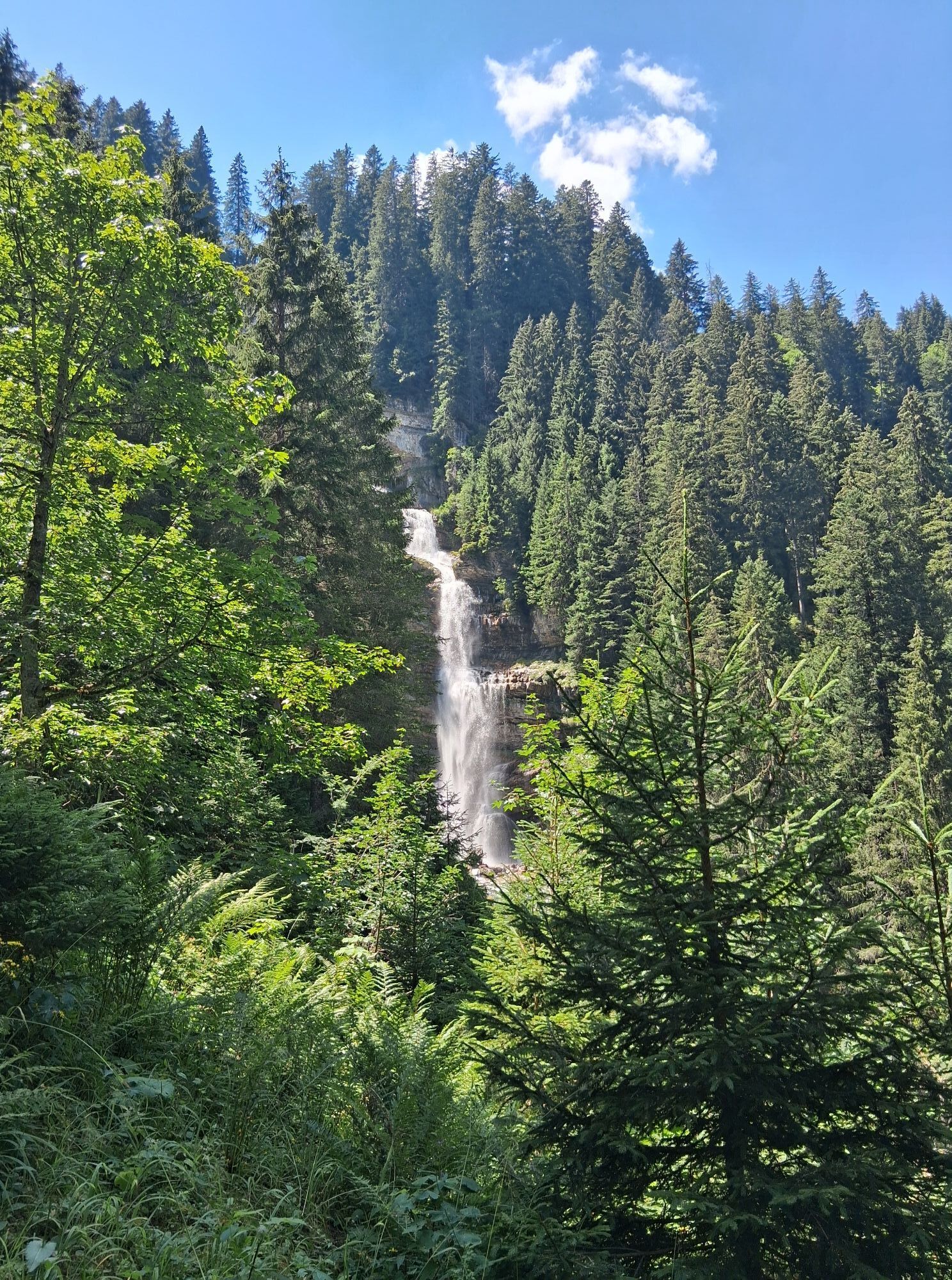
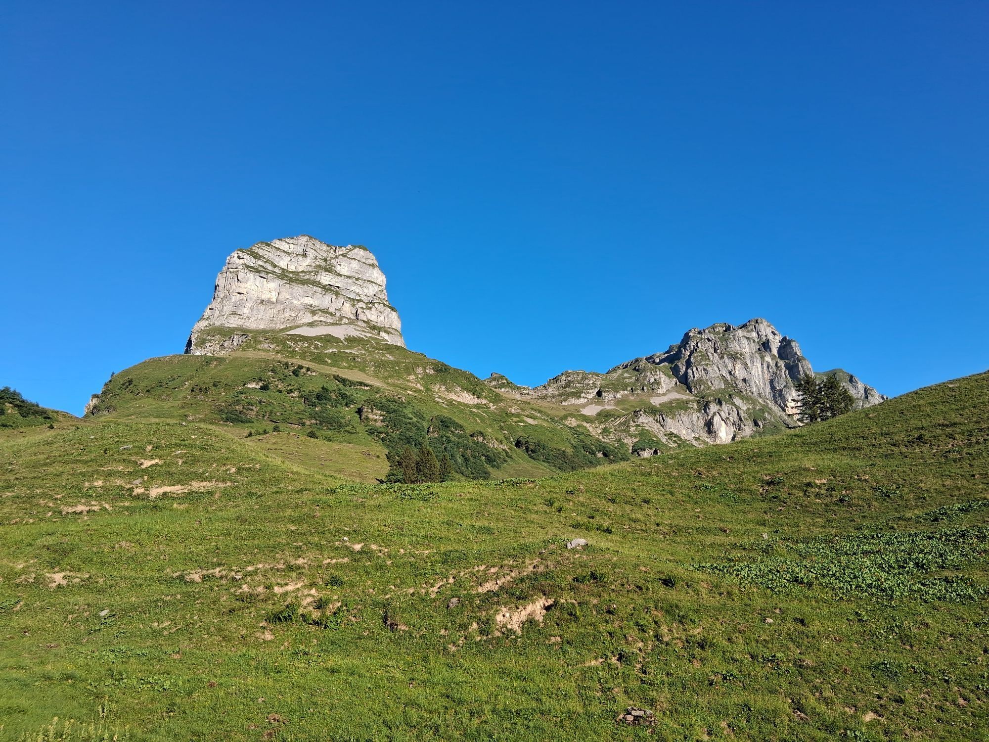
The Glatten is a very popular touring destination due to its beautiful northern slopes. The panoramic view of the Uri, Glarus and Schwyz Alps is also worthwhile.
Approach / Departure
A) Normal route from...
The Glatten is a very popular touring destination due to its beautiful northern slopes. The panoramic view of the Uri, Glarus and Schwyz Alps is also worthwhile.
Approach / Departure
A) Normal route from Sali. Difficulty WS
Ascent / descent: 1349m | counter ascent on descent: 0m
Start altitude: 1155 m.a.s.l. | Finish altitude: 2504 m.a.s.l.
Time required ascent: 4¼ h | Distance: 6 km
Places along the route: Gross Gade - Eggen (Unterschächen - UR) - Wächters Butzen.
Approach / Departure
B) from Glattalphütte. Difficulty ZS
Ascent / descent: 753m | counter ascent on descent: 143m
Start altitude: 1894 m.a.s.l. | Finish altitude: 2504 m.a.s.l.
Time required ascent: 3¼ h | Distance: 5.5 km

Gross Gade - Eggen (Unterschächen - UR) - Wächters Butzen
Enough food and condition
Healthy and fit in the mountains
Good fitness through regular endurance and weight training. Make sure you have reserves of strength for the descent.
Careful tour planning
Pay special attention to the weather forecast, as cold, wind and poor visibility increase the risk of accidents considerably. Plan alternative routes and checkpoints.
Complete equipment
Standard emergency equipment includes avalanche transceiver, shovel and probe, first aid kit, bivy sack, cell phone (Euro emergency 112) and an airbag system.
Avalanche situation report
Inform yourself in detail about the avalanche danger before the tour! What is the danger level, where are the danger spots, what are the current avalanche problems.
Weigh the avalanche risk
Base your decisions therefore on strategic methods of risk assessment (reduction methods) and pay attention to danger signs in the terrain.
Orientation and rest
It is important to master the use of map, altimeter, compass, app or GPS. Drinking, eating, and taking breaks are necessary to maintain performance and concentration.
Keep clearances
Clearances serve to relieve the snowpack and limit damage. Relief distances of 10 m when ascending steep slopes also increase comfort when making hairpin turns. When skiing downhill, always keep distances of at least 30 m and ski very steep slopes individually.
Avoid falls
Falls on the descent are the most frequent cause of accidents on ski tours. For the snow surface they mean a large additional load.
Small groups
Small groups (up to 6 people) increase safety. Communication with other winter sports enthusiasts and mutual consideration prevent dangerous situations.
Respect for nature and environment
Be considerate of wildlife, respect protected areas and do not enter reforested areas. To get there, carpool or use public transportation.
By car on the A4 to the Schwyz exit, then in the direction of Muotathal to the Sahli Glattalpbahn.
By train to Schwyz-Seewen station, then by bus to Muotathal Post. From there take the bus in the direction of Sahli.
Parking is available at the Glattalpbahn.
The Prageltaxi (PragelgarageTel. +41 41830 11 81) is available to guests for transportation.
Hol dir den Einblick Immer live vor Ort mit über 9.500 Webcams. In der Touren App von bergfex siehst du als Pro-User jetzt zu vielen Touren die passenden Webcams. So kannst du dir direkt die aktuellen Bedingungen ansehen.Beliebte Touren in der Nähe
- 5,0
Kalktrittli - Nüschentäli - Muttsee - Obersee - Muttenchopf - Mörtel - Limmerensee - Kalktrittli (durch Stollen)
mittelWanderung 14,8 km - 3,7
Braunwald
mittelKlettersteig 11,4 km - 4,7
Chämistube - Grotzenbühl - Berggasthaus Gumen - Ortstockhaus
leichtWanderung 9,25 km - 5,0
Chaiserstock Wanderung, einmaliges Panorama
mittelWanderung 8,67 km - 4,2
Bergwirtschaft Sali-Alp - Glattalphütte - Berggasthaus Glattalp - Sahli (Luftseilbahn Glattalp)
mittelWanderung 13,4 km - 4,7
Die Puntegliashütte am Fusse des Tödimassivs
schwerWanderung 13,5 km - 3,0
Wanderung Hoch Ybrig
mittelWanderung 10,6 km Braunwald - Klöntal
Wanderung 10,3 kmLidernenhütte - Rossstock - Spilauer See - Hagelstock - Chäppeliberg
mittelSkitour 12,5 km- 5,0
Wasserbergfirst
mittelWanderung 13,4 km
Wandern & Tracking


Verpasse keine Angebote und Inspirationen für deinen nächsten Urlaub
Deine E-Mail-Adresse wurde in den Verteiler eingetragen.





