


Roundtour Schwyz - Rickenbach - Tschütschi
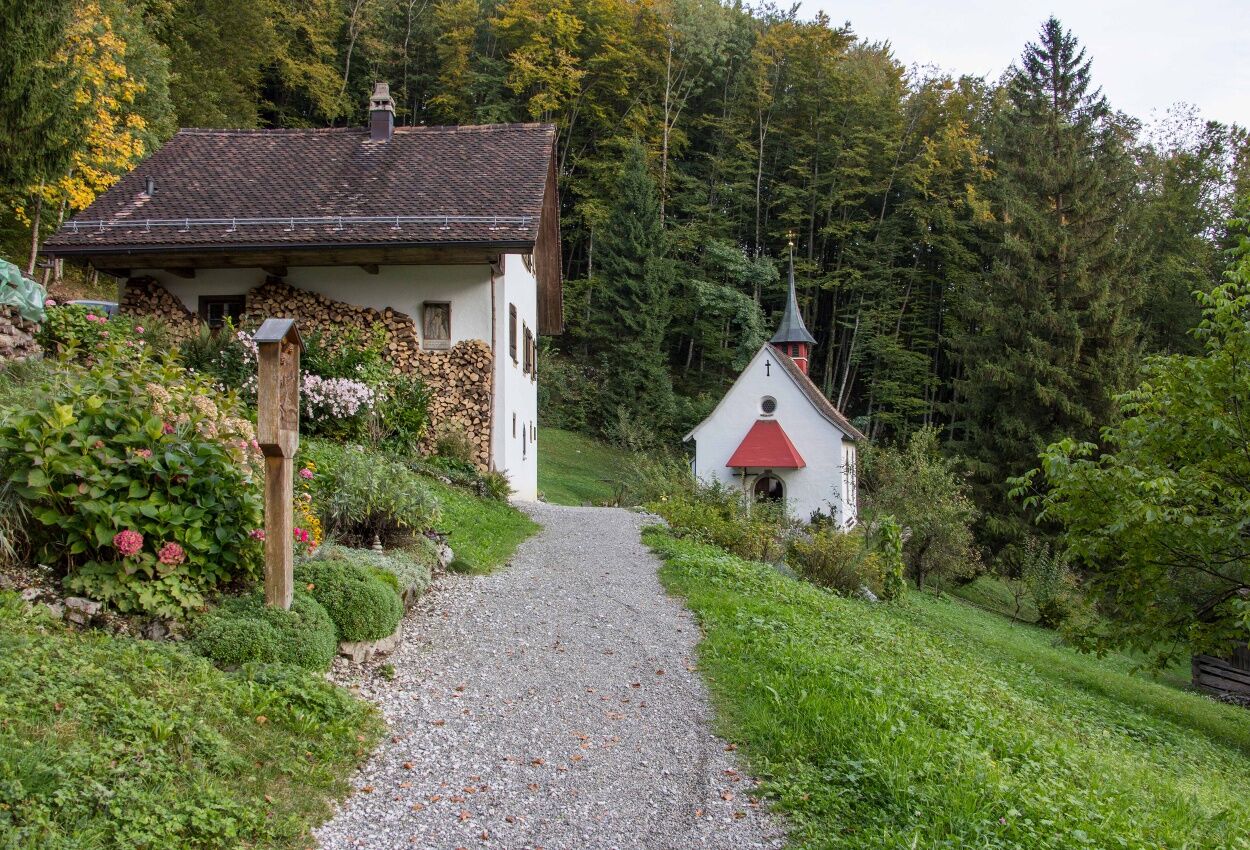
First walk along the pilgrims' path towards Dorfbach SZ, then continue towards Tschütschi. On the way, you will pass the Klösterli St. Josef. You then walk all the way downhill towards Rickebach SZ. You...
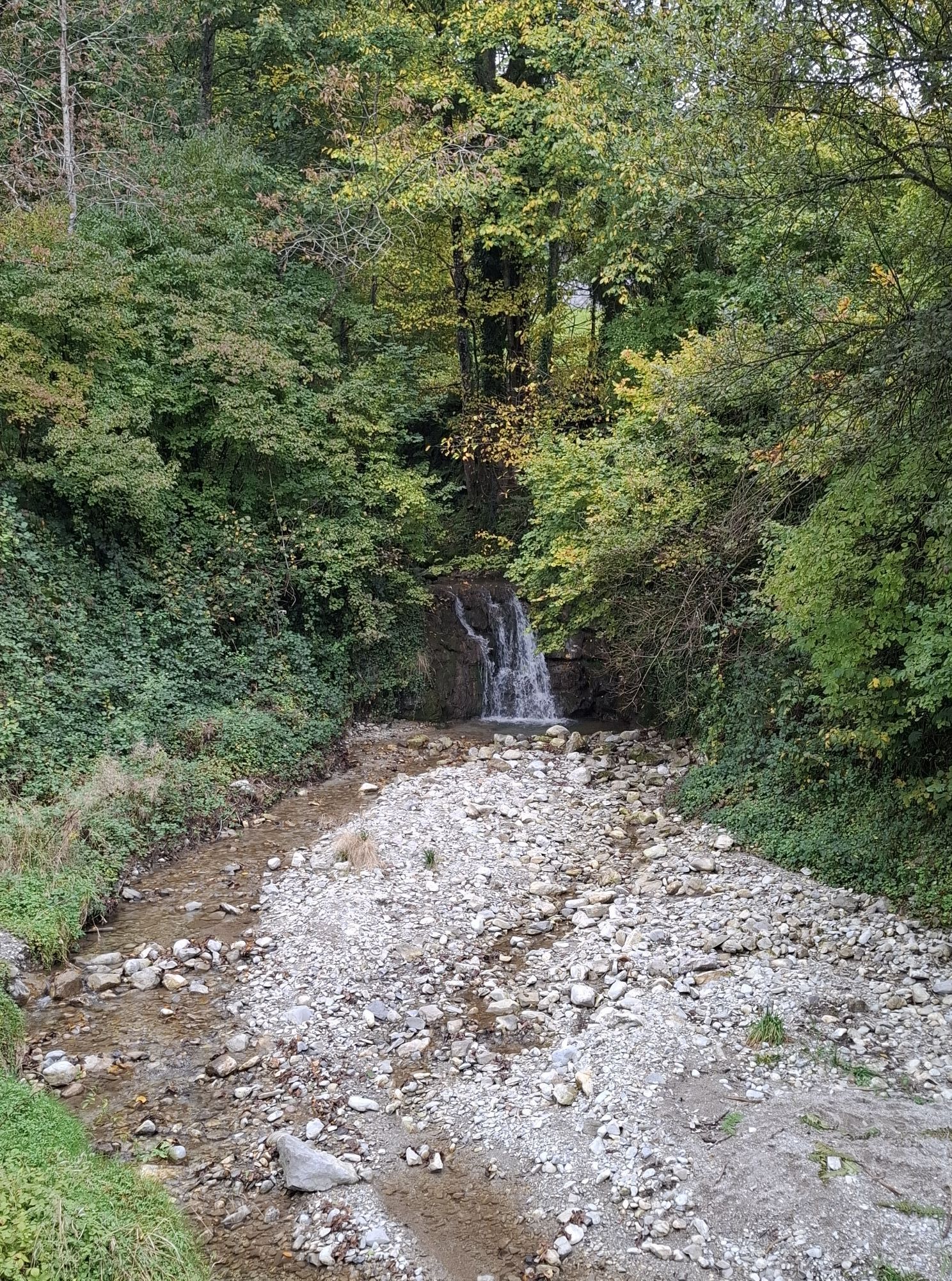
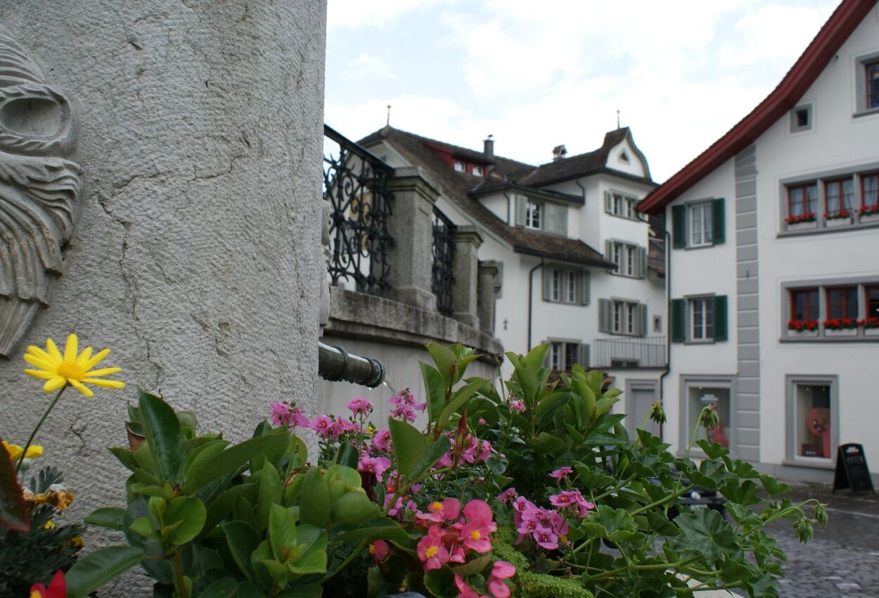
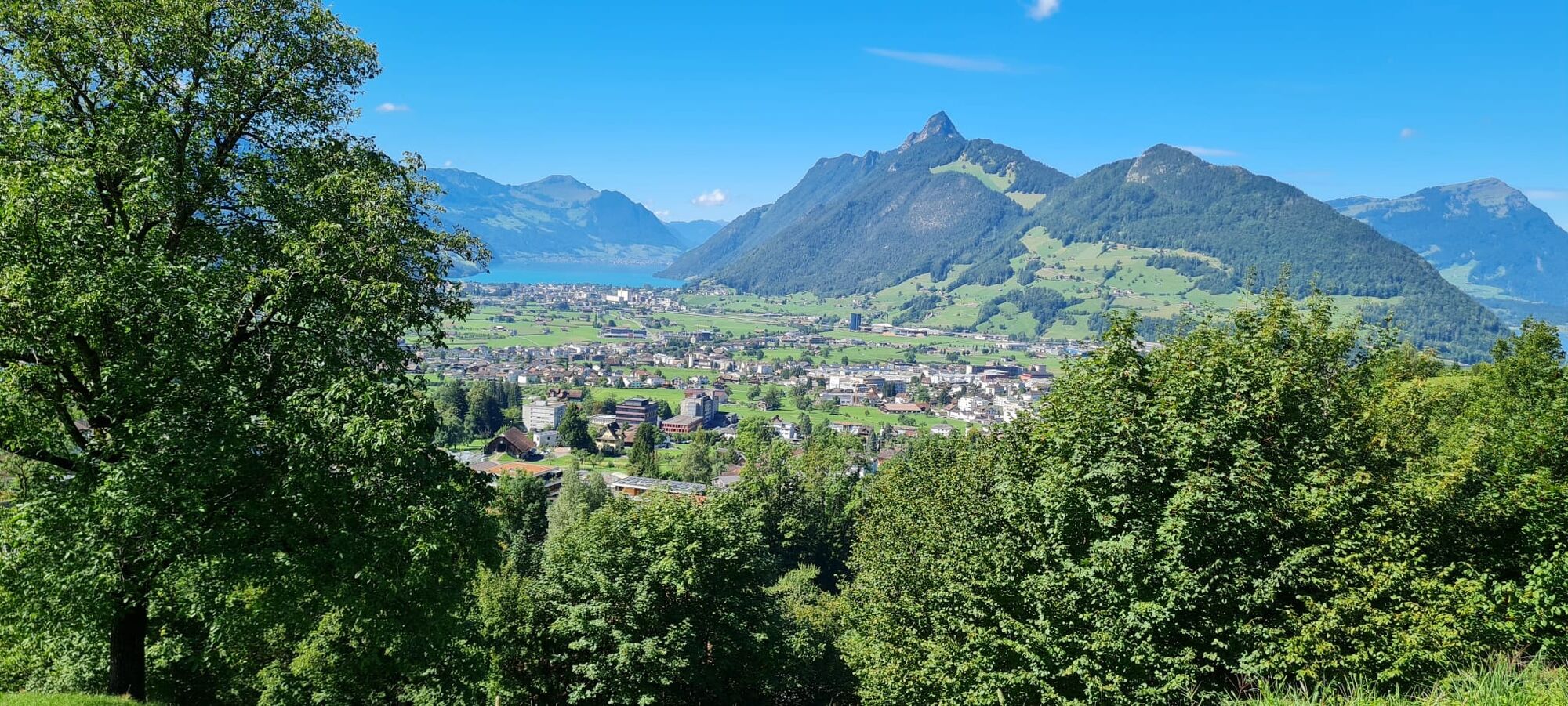
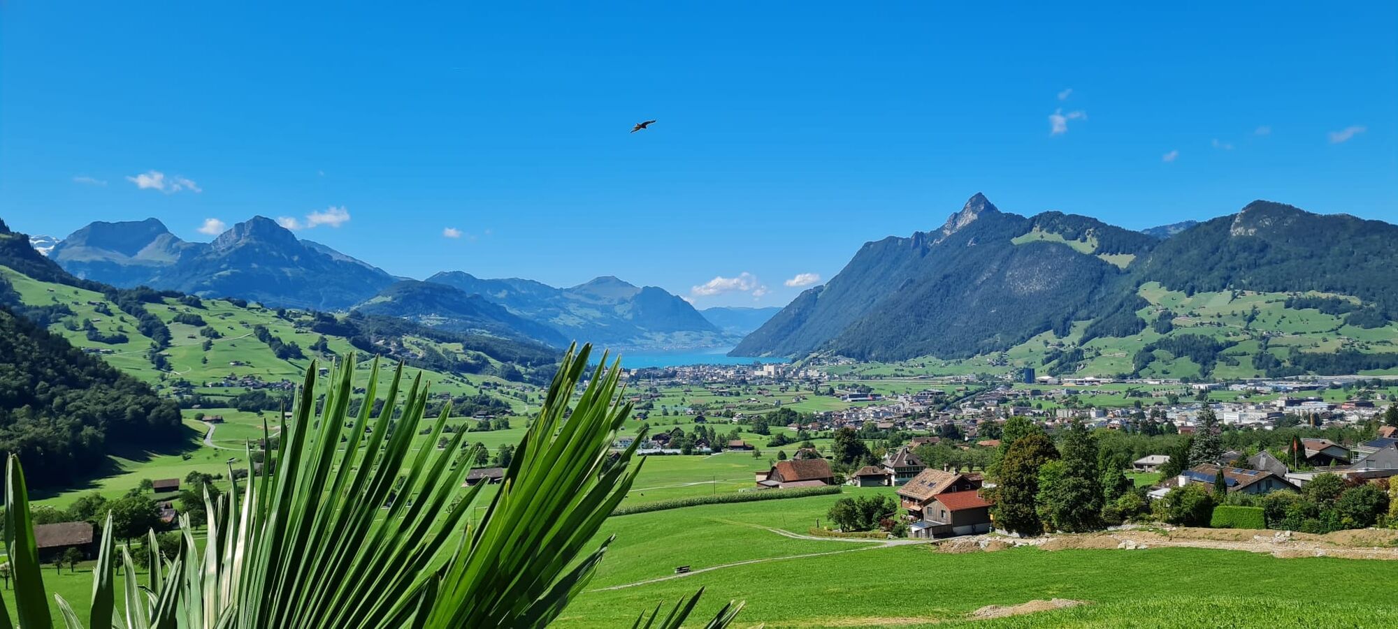
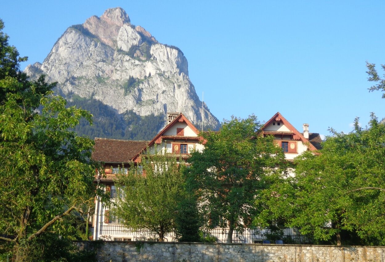
First walk along the pilgrims' path towards Dorfbach SZ, then continue towards Tschütschi. On the way, you will pass the Klösterli St. Josef. You then walk all the way downhill towards Rickebach SZ. You will enjoy a beautiful view of the Schwyz valley basin. However, a little above the Rotenfluebahn, a path leads you towards Stalden. You then turn into the main road and walk towards Rickenbach SZ. Then walk in the direction of Perfiden and follow the path. You are surrounded by many green meadows and may see one or two paragliders landing. In between, a narrow meadow path then goes down to the Grundstrasse. A little below, the path continues across the meadow where the Pragelpass path passes through. After that, just keep walking until you reach the main square in Schwyz again.
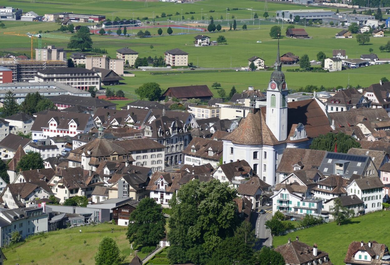


Schwyz main square 516 m.ü.M - Dorfbach SZ 540 m.ü.M - Tschütschi 711 m.ü.M - Stalden 647 m.ü.M - Perfiden 611 m.ü.M - Grundstrasse 509 m.ü.M - Schwyz main square 516 m.ü.M
Hiking shoes or trainers, rain jacket, drink, food, possibly poles.
Drive by car in the direction of Schwyz.
There are various parking options, e.g. the "Hofmatt" multi-storey car park, for which a fee is charged.
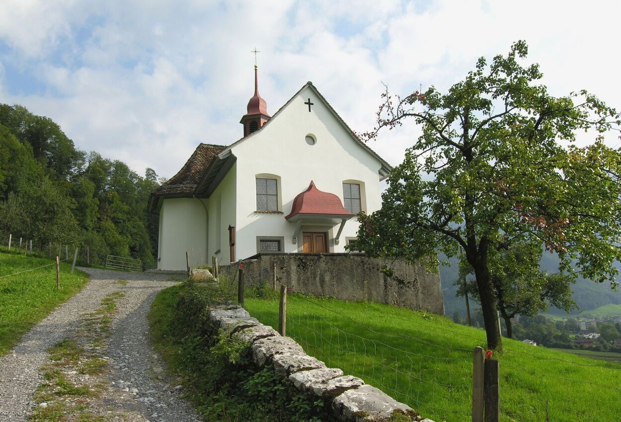
A visit to the chapel of the Tschütschi hermitage.
Webcams der Tour
Bergstation Brunni-Haggenegg
Skilifte Brunni-Haggenegg, Alpthal
Handgruobi Talstation
Passhöhe Ibergeregg
Talstation Skilift Brunni
Passhöhe Ibergeregg
Mittelstation Grossenboden
Bergstation Brünnelistock
Bergstation Stägleren/Rotenflue
Talstation Skilift Brunni
Stoos Dorf
Stoos Dorf
Stoos Dorf
Stoos Dorf
Stoos Dorf
Stoos Dorf
Stoos Dorf
Stoos Dorf
Brunnen am Vierwaldstättersee
Rotenflue
Schwyz
Morschach
Muotathal
Holzegg Bergstation
Beliebte Touren in der Nähe
- 4,8
Gratwanderung Klingenstock
leichtWanderung 9,36 km - 4,4
Rundwanderung
leichtBergwandern 12,9 km - 4,3
Mythenweg - Bergwanderung auf den Grossen Mythen
schwerWanderung 3,40 km - 4,3
Brunni-Feuerstellen-Rundwanderung
leichtWanderung 11,5 km - 4,2
Kleiner Mythen
mittelWanderung 6,31 km Wanderung entlang der Mythen, Alp "Zwüschet-Mythen"
mittelWanderung 10,5 km- 4,7
Mythen via Ibergeregg
mittelWanderung 9,73 km - 3,7
Gnipen - ab Goldau - Rundwanderung
mittelWanderung 10,6 km - 2,5
Rundwanderung Furggelenstock
mittelWanderung 10 km - 4,8
Rigi Kulm von Vitznau aus
mittelWanderung 17,6 km

Wandern & Tracking


Verpasse keine Angebote und Inspirationen für deinen nächsten Urlaub
Deine E-Mail-Adresse wurde in den Verteiler eingetragen.