







Bürgenstock Resort to the Hammetschwand Lift

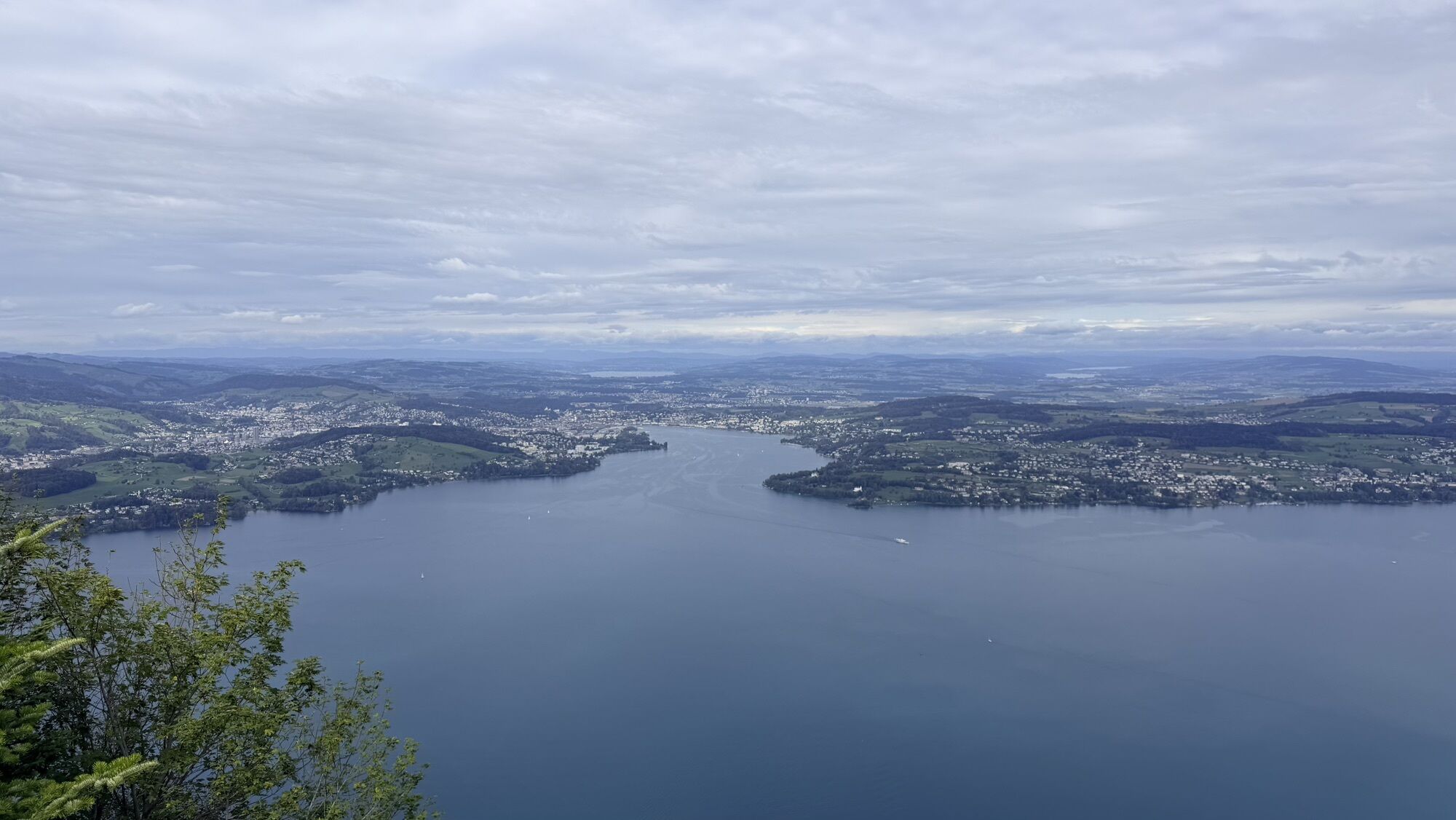
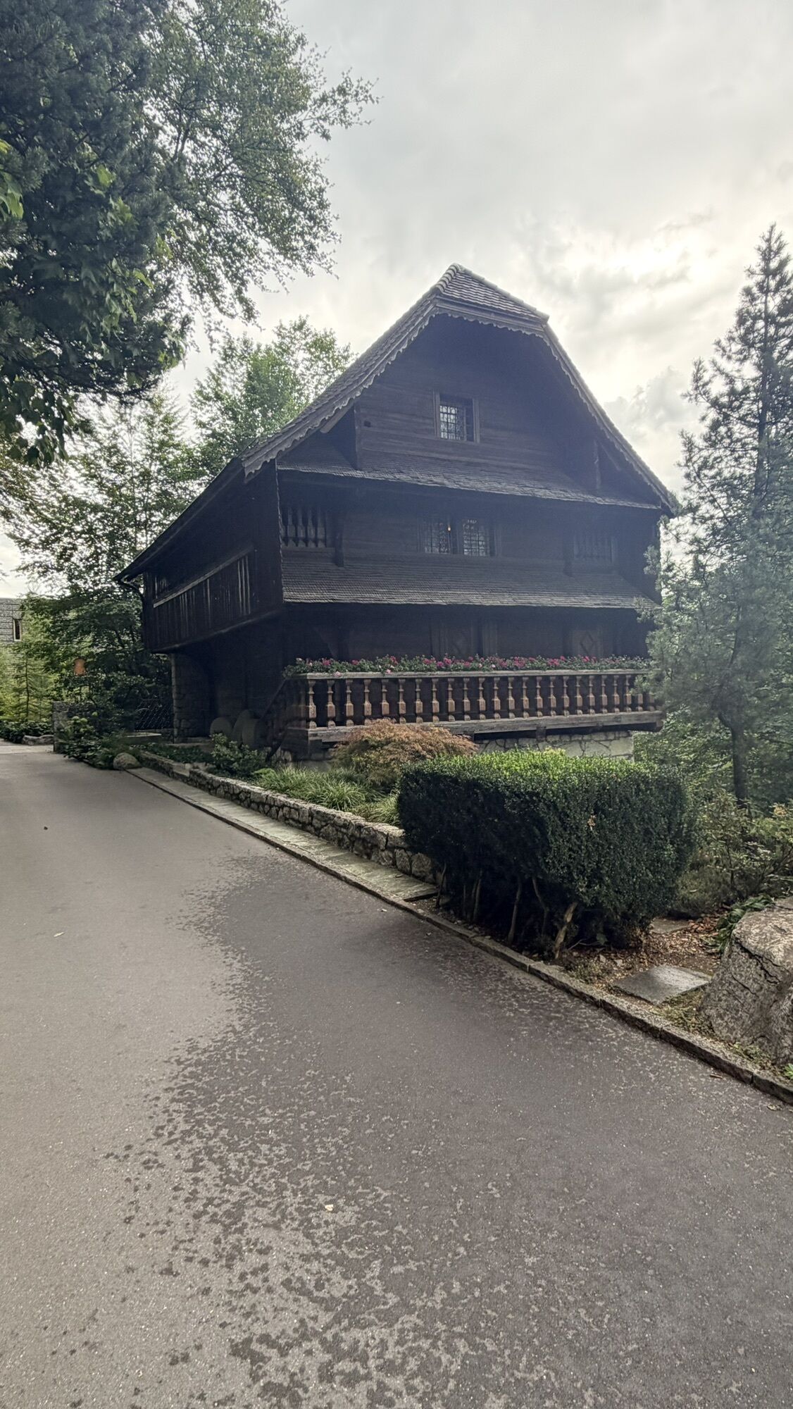
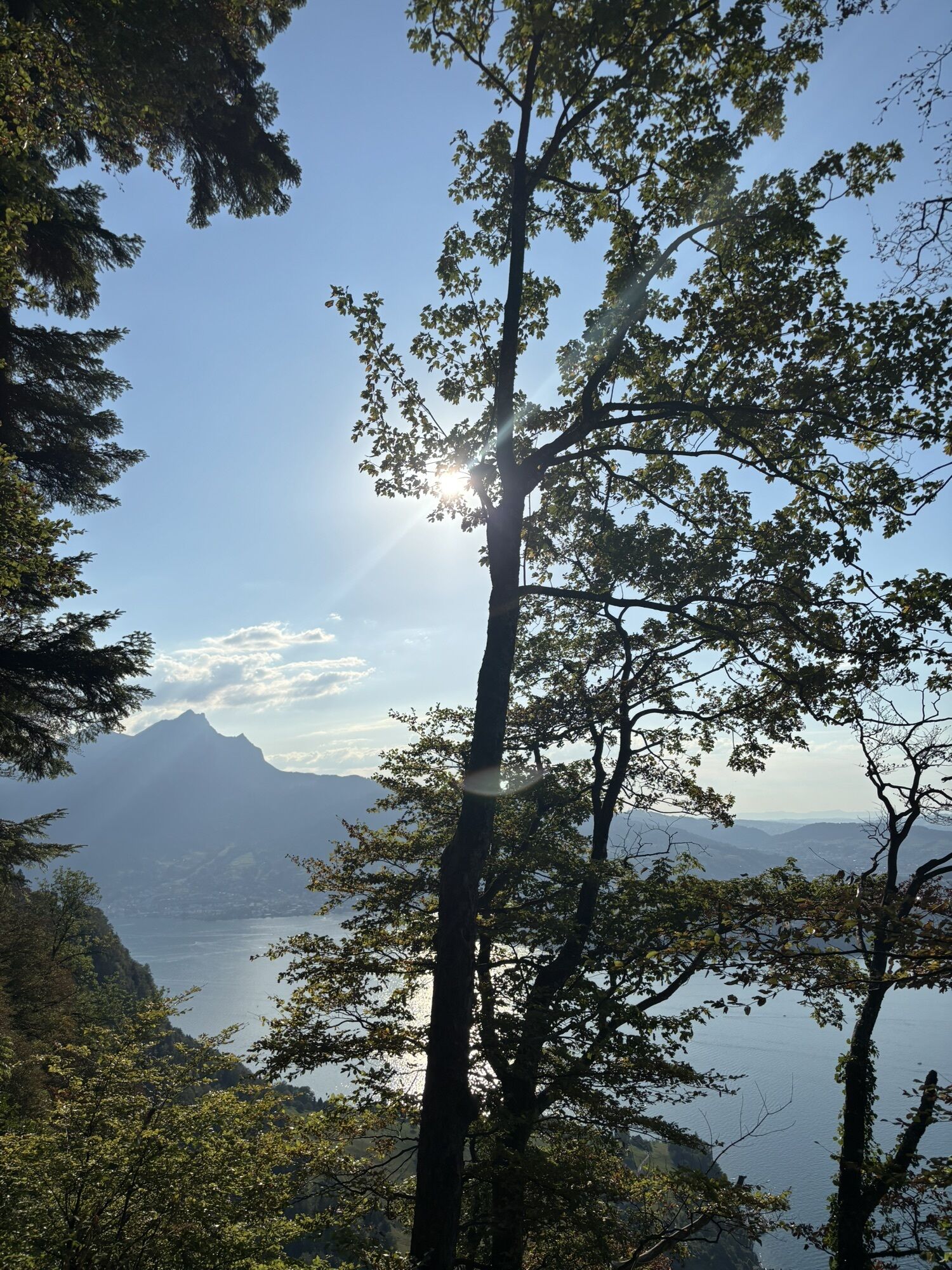
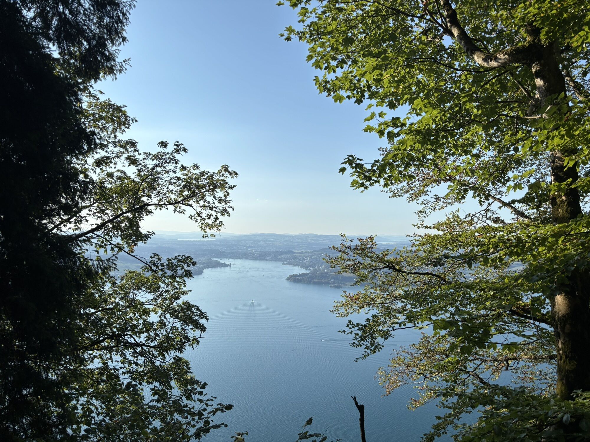
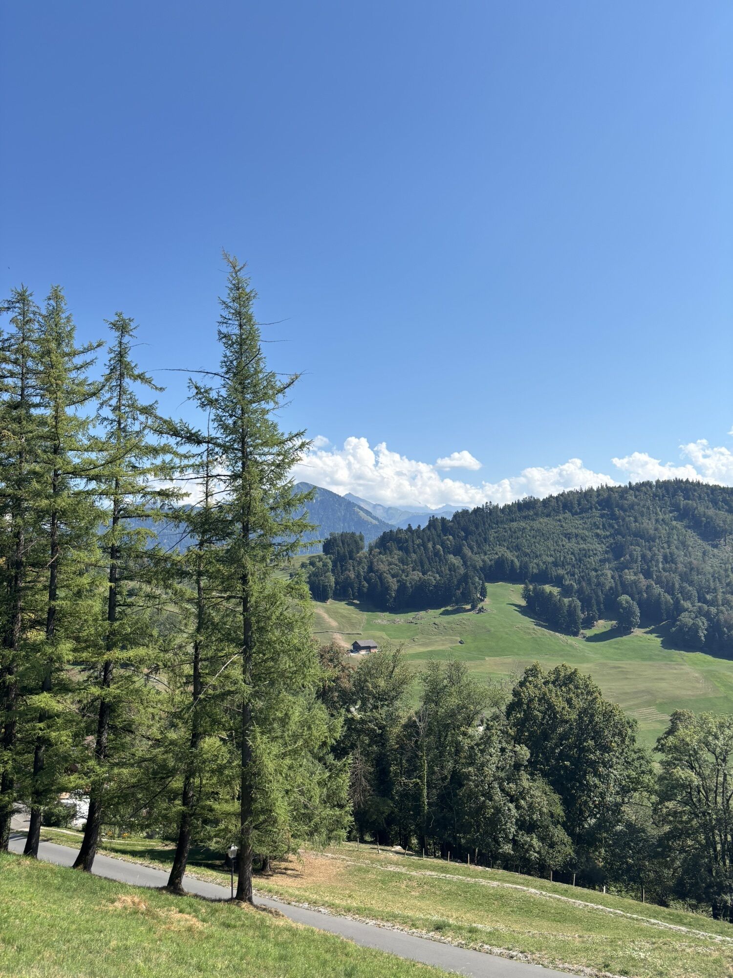
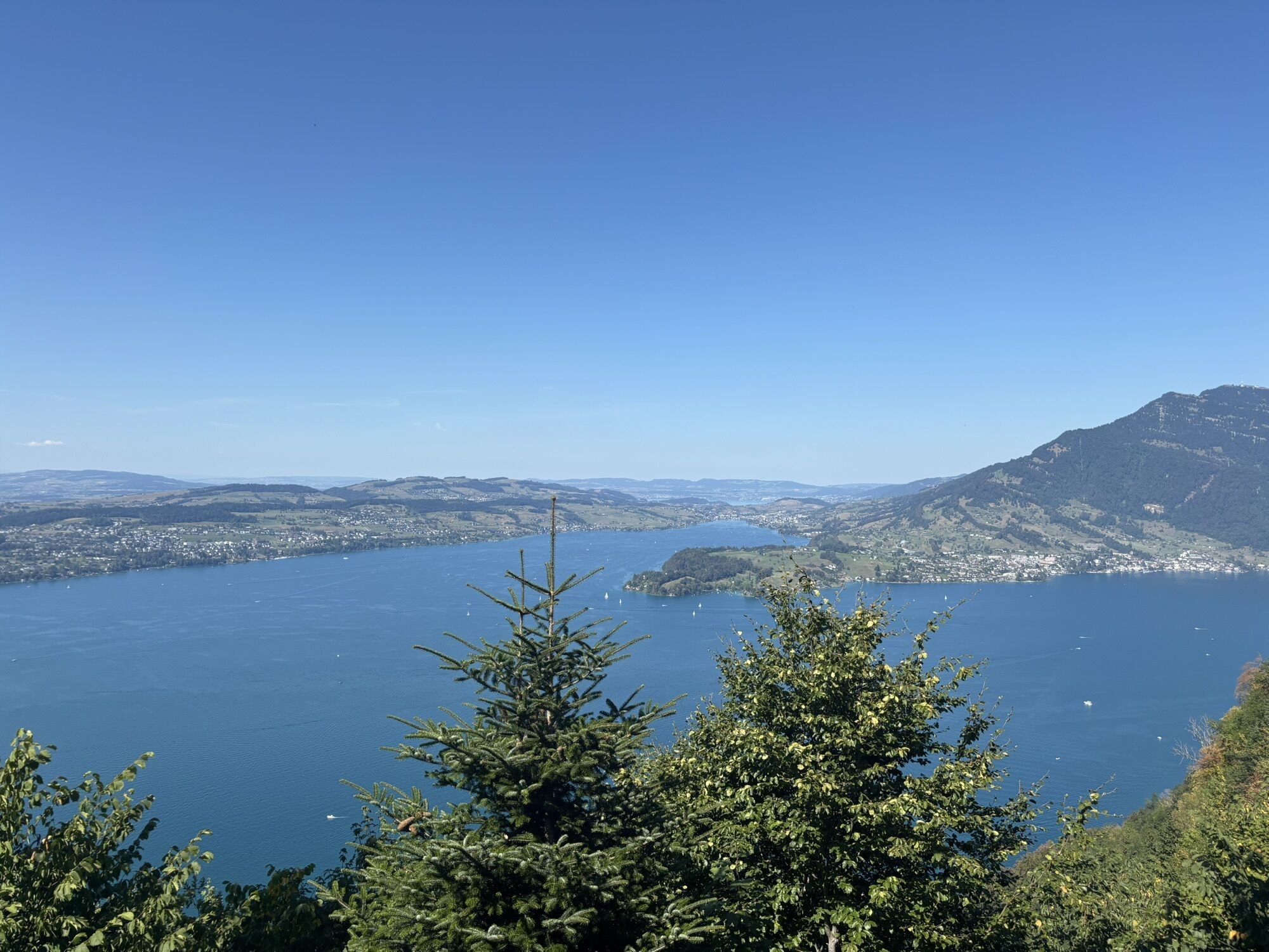
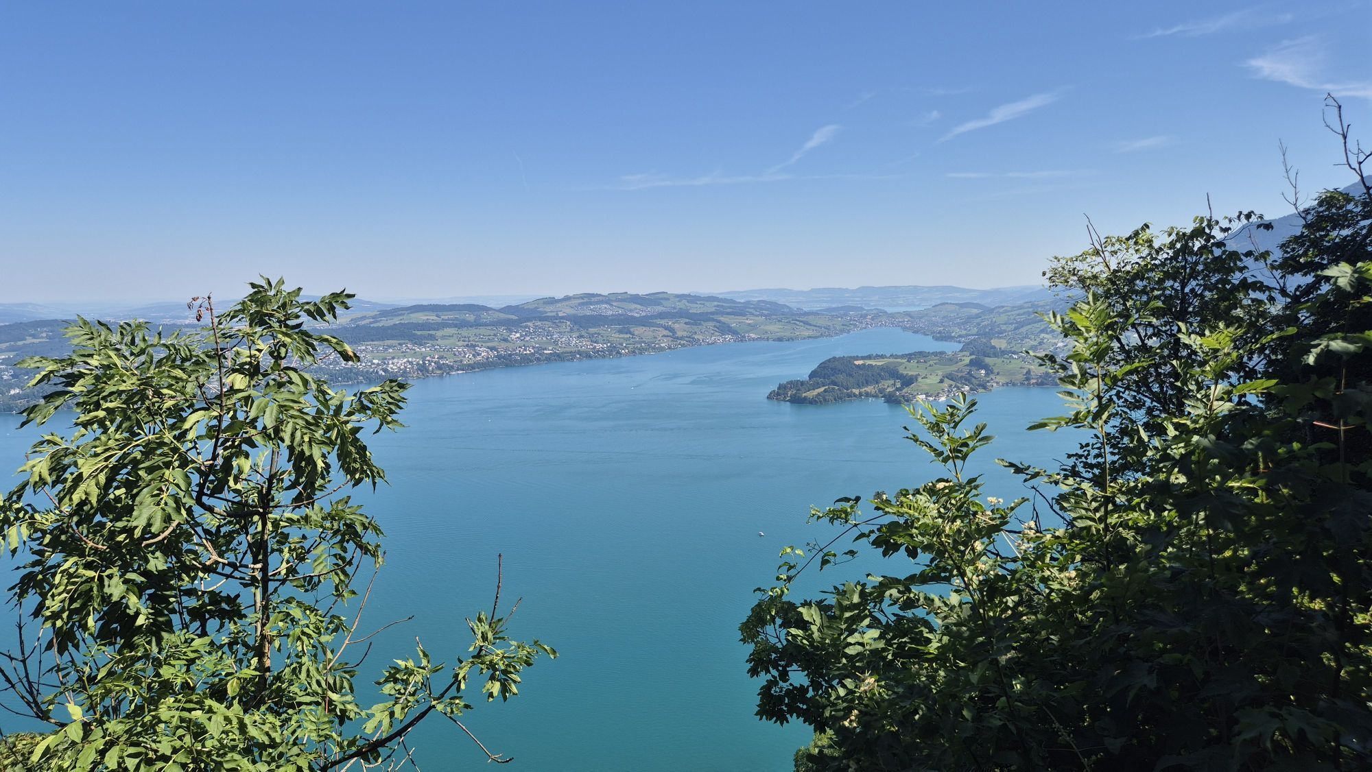
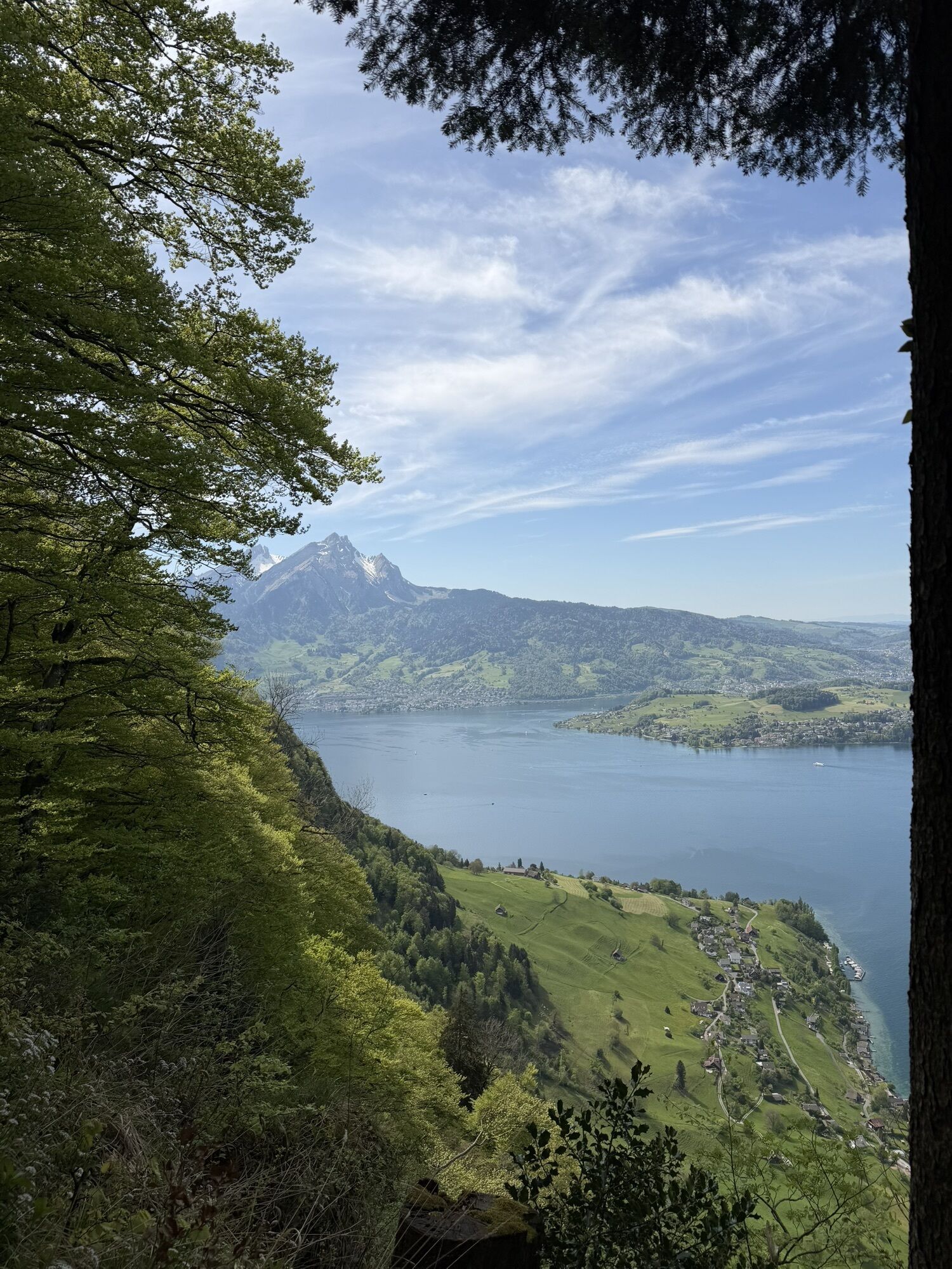

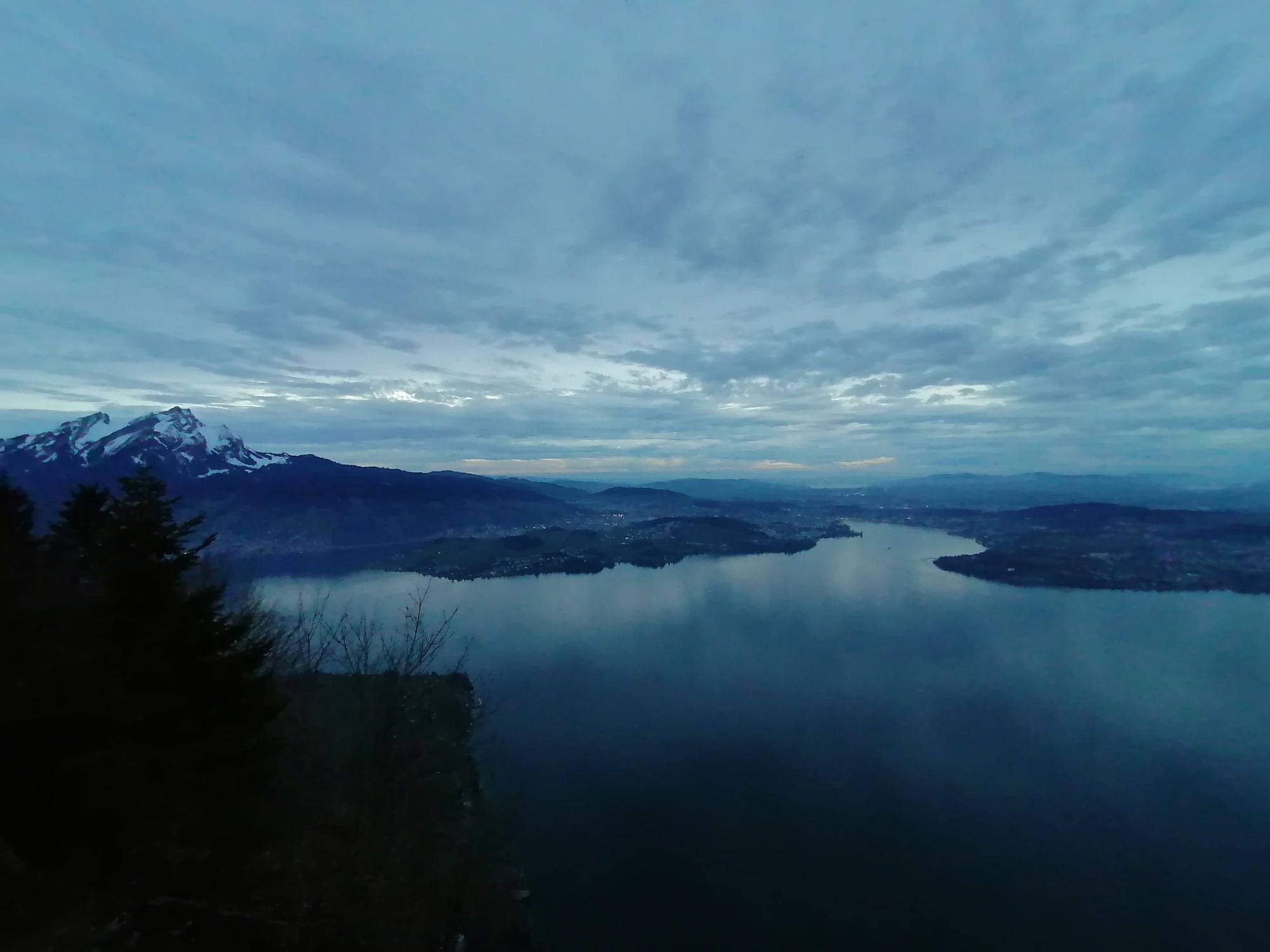
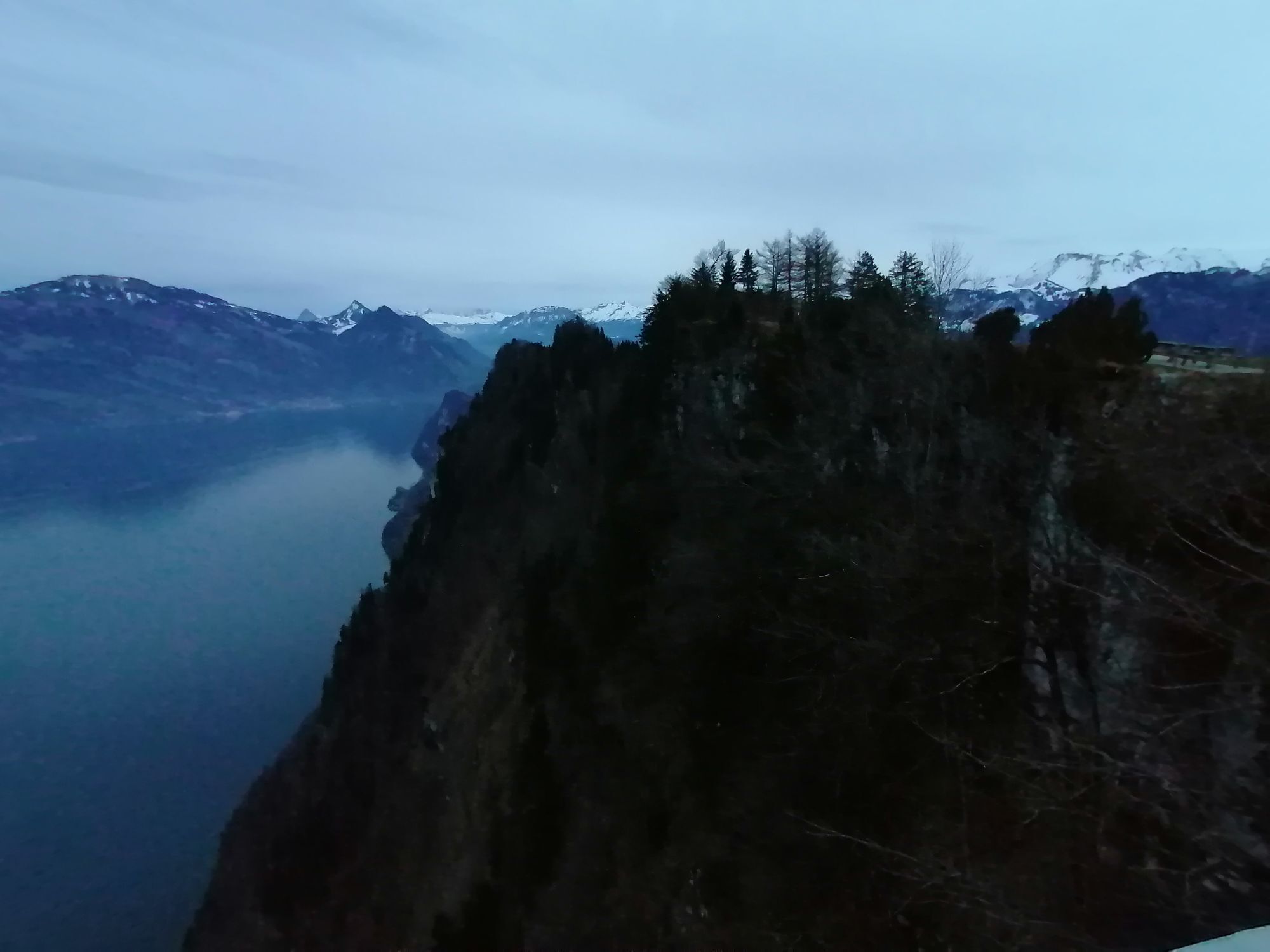
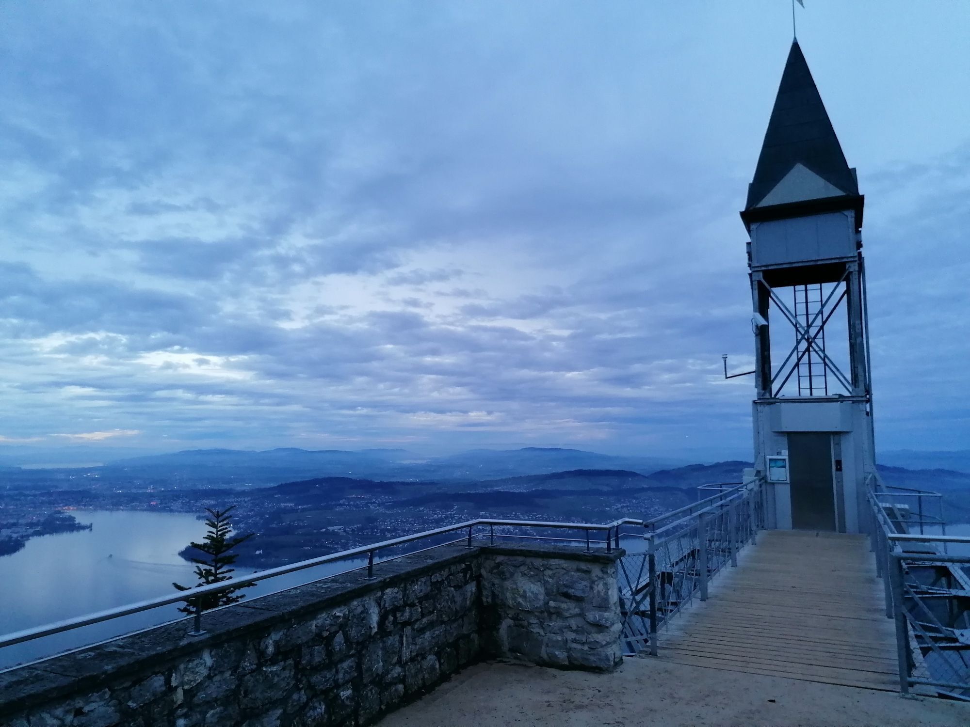
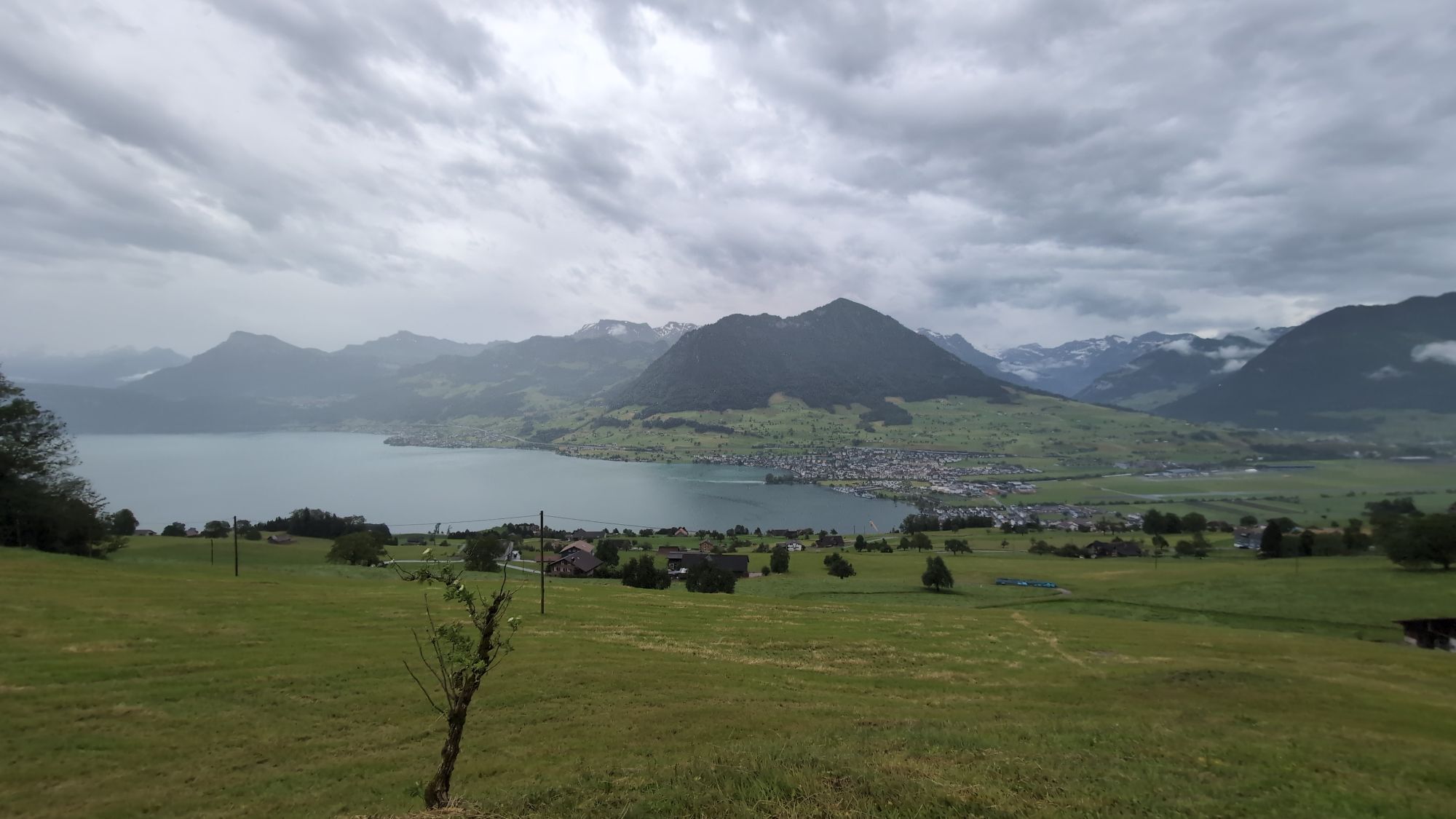
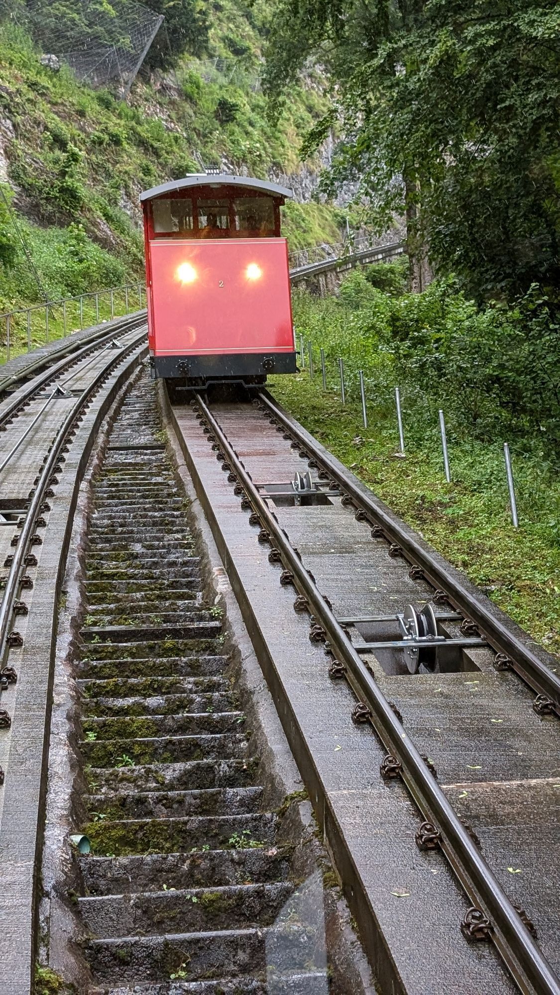
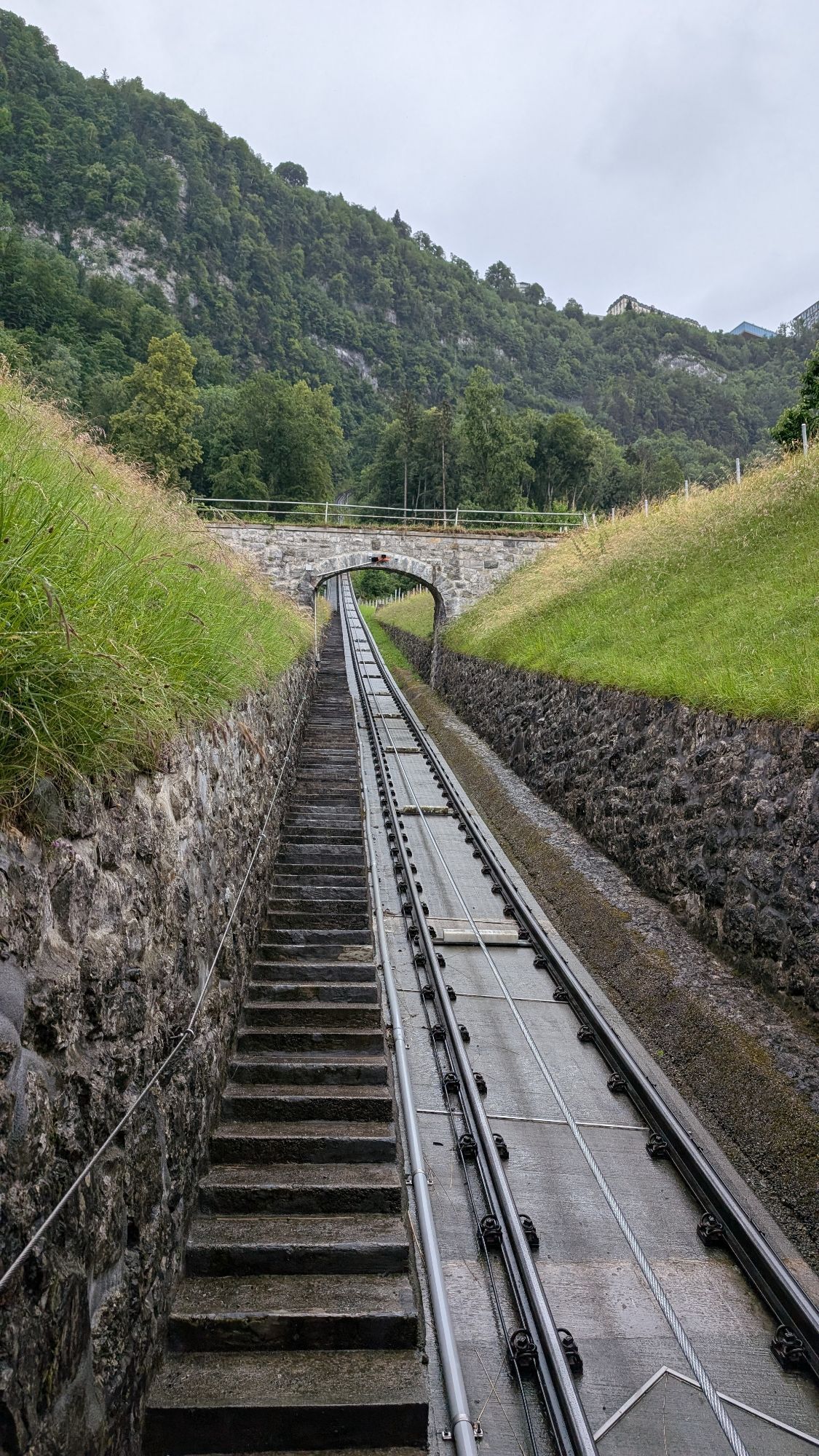
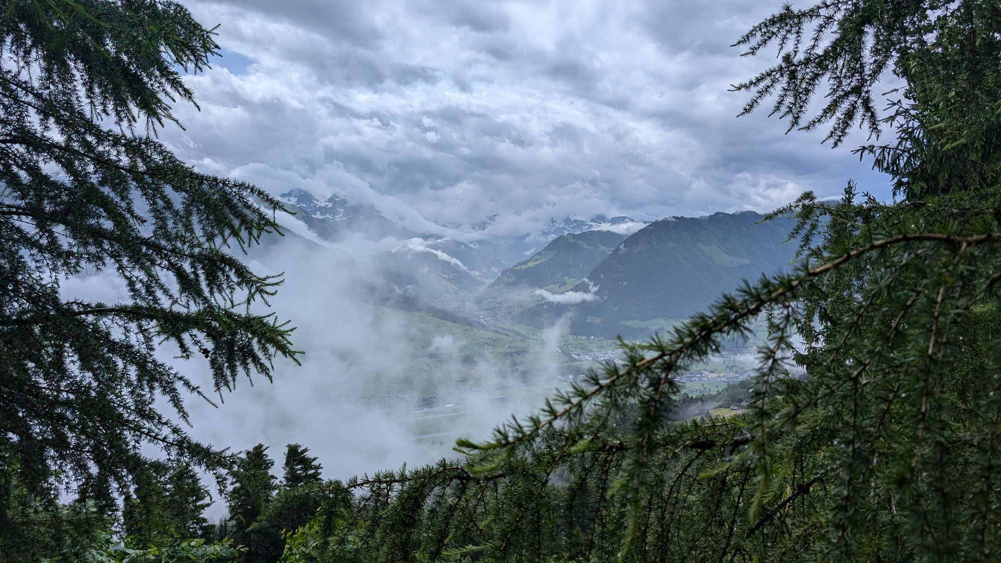
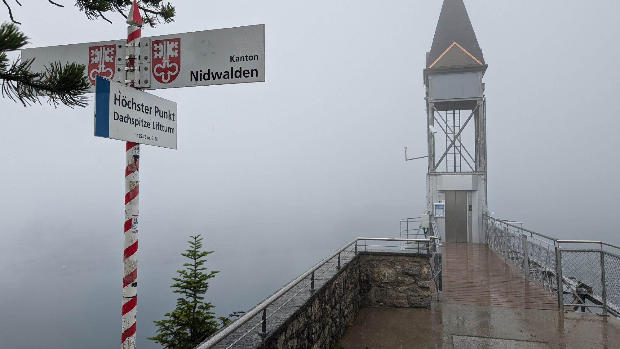
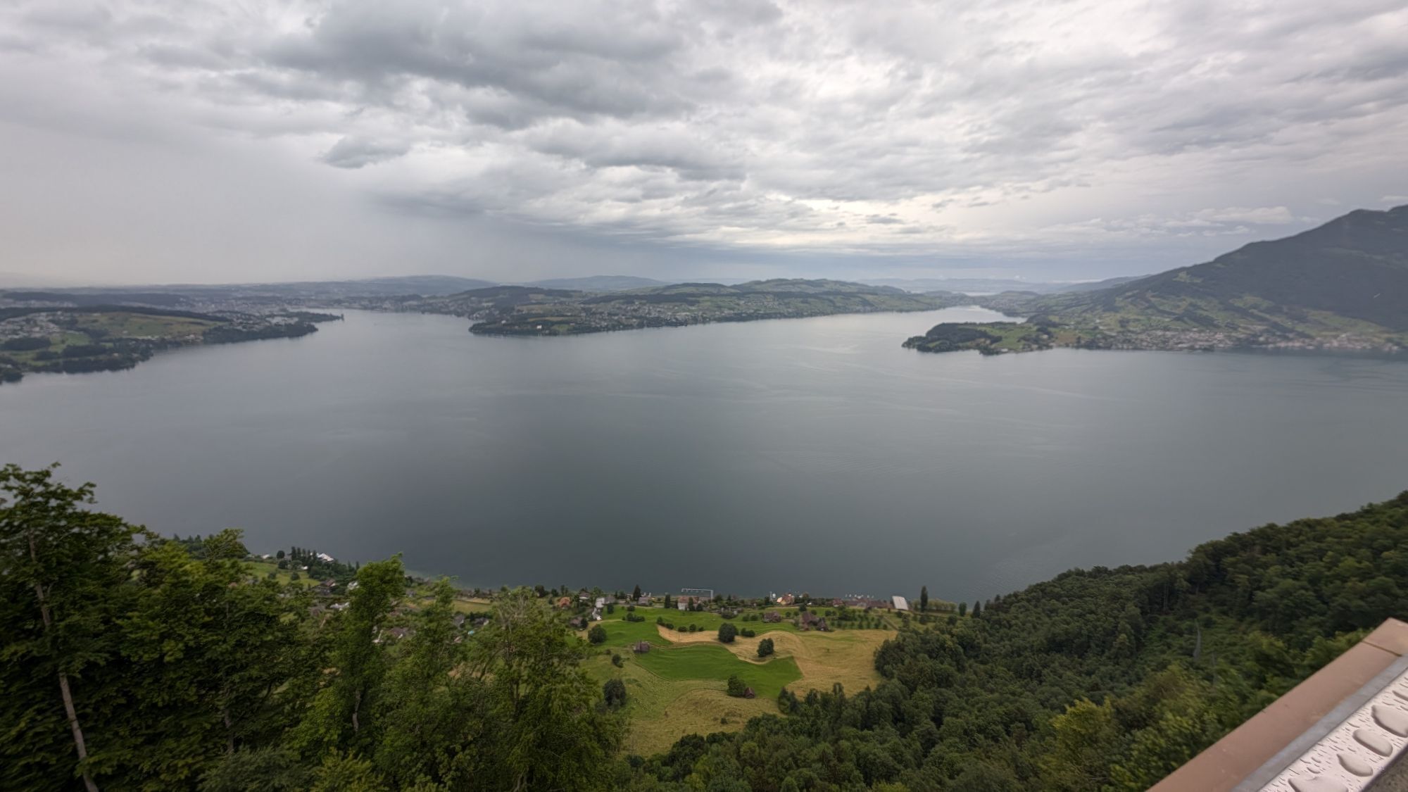

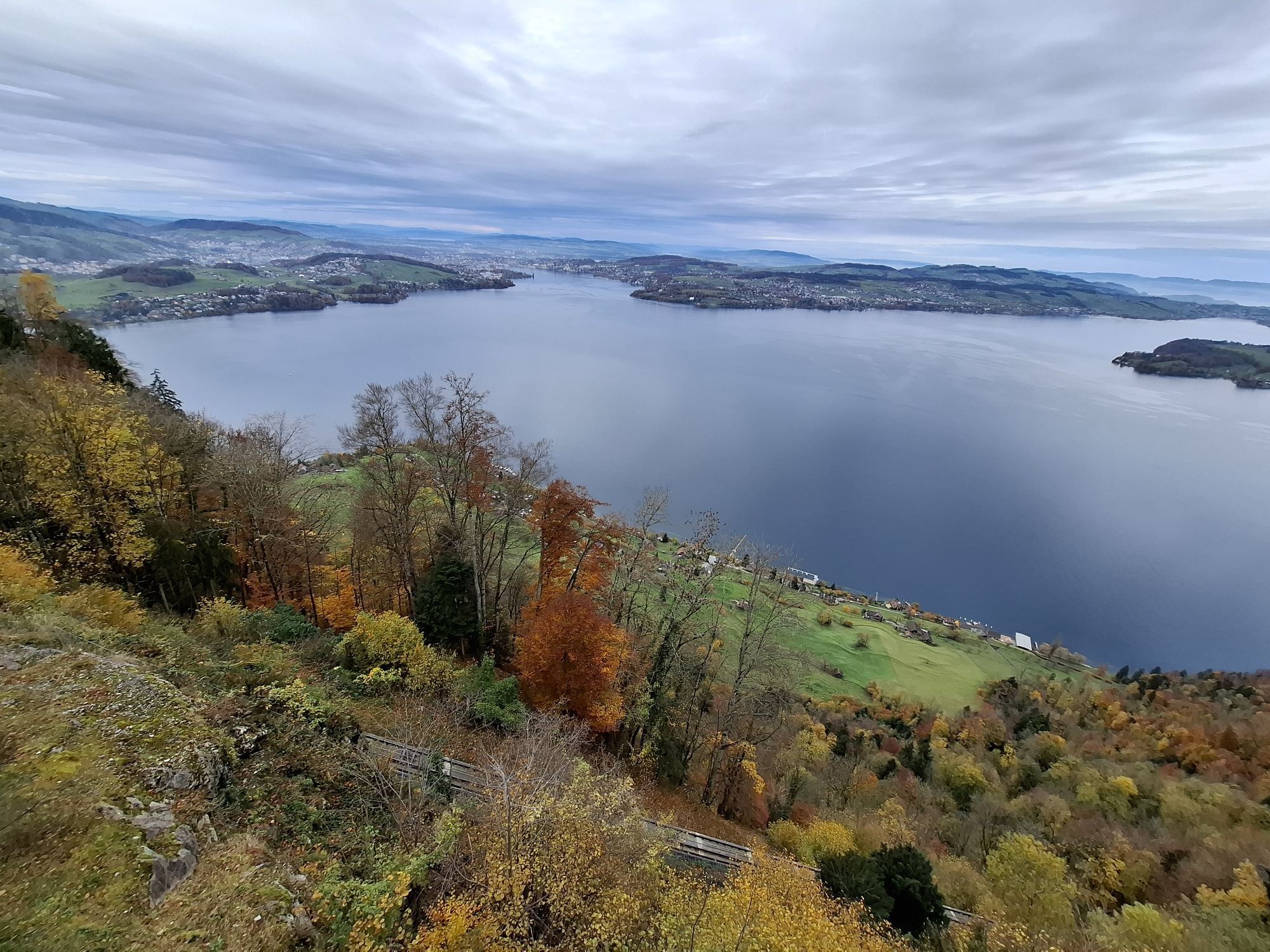

At the Bürgenstock Resort you walk along the first section of the rock path "Felsenweg Bürgenstock". After about 45 minutes of hiking, you reach the valley station of the Hammetschwand lift.
The Felsenweg...
At the Bürgenstock Resort you walk along the first section of the rock path "Felsenweg Bürgenstock". After about 45 minutes of hiking, you reach the valley station of the Hammetschwand lift.
The Felsenweg is accessible during the summer season from around May to October. The opening of the Felsenweg and Hammetschwand lift is communicated on felsenweg.ch.

Route planner to Stansstad, P+Rail Stansstad, then by Postbus from Stansstad to Bürgenstock Zentrum (Resort)Route planner to Bürgenstock Resort, limited number of parking spaces.Route planner to Ennetbürgen, Honegg car park. Limited number of parking spaces.
P+Rail StansstadBürgenstock Resort, limited number of parking spaces.Ennetbürgen, Parkplatz Honegg

Beliebte Touren in der Nähe
- 4,7
Stanserhorn
leichtWanderung 17,9 km - 3,9
Rundweg Seebodenalp Küssnacht am Rigi, Schweiz
mittelWanderung 9,56 km - 5,0
Walenpfad
mittelWanderung 12,2 km - 4,4
Seebodenalp Panoramaweg
leichtWanderung 5,25 km - 4,8
Home-Rigi Kulm-Home
mittelWanderung 18,6 km - 4,8
Rigi Kulm von Vitznau aus
mittelWanderung 17,6 km - 5,0
Rigi Klösterli - Kaltbach - Kulm - Klösterli
mittelWanderung 10,3 km - 4,5
Eigenthal --Pilatus
mittelWanderung 13,6 km - 4,8
Pilatus Châlet - Esel - Oberhaupt - Hergiswil NW
schwerWanderung 17,2 km - 5,0
Kleine Rigi Runde🥾🏔
mittelWanderung 14,0 km

Wandern & Tracking


Verpasse keine Angebote und Inspirationen für deinen nächsten Urlaub
Deine E-Mail-Adresse wurde in den Verteiler eingetragen.





