





At Wurm and Broichbach
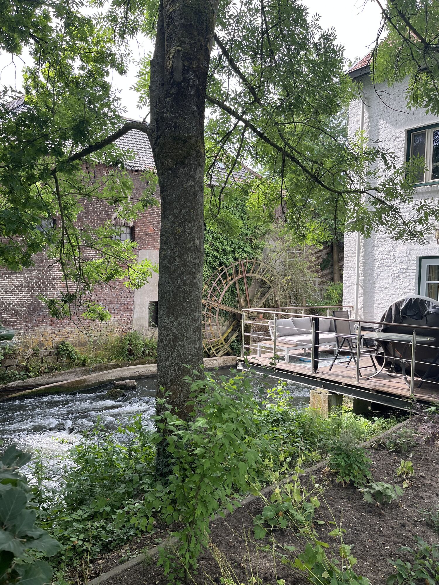
On this route you can get to know the idyllic forest, field and meadow landscapes along the Wurm and Broichbach valleys. The worm's largely natural course of the river has an impressive flow dynamics that...
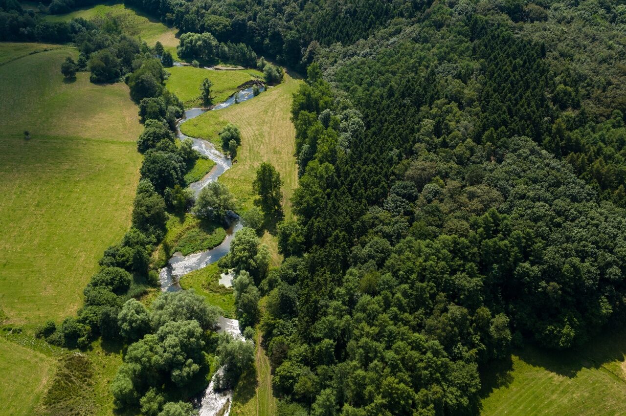
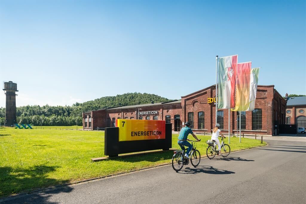
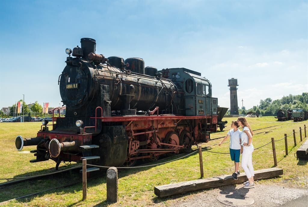
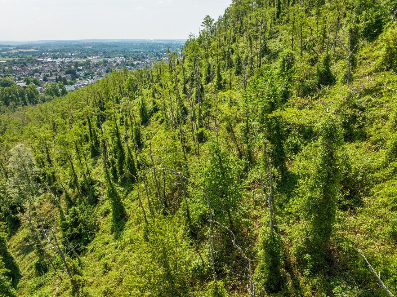
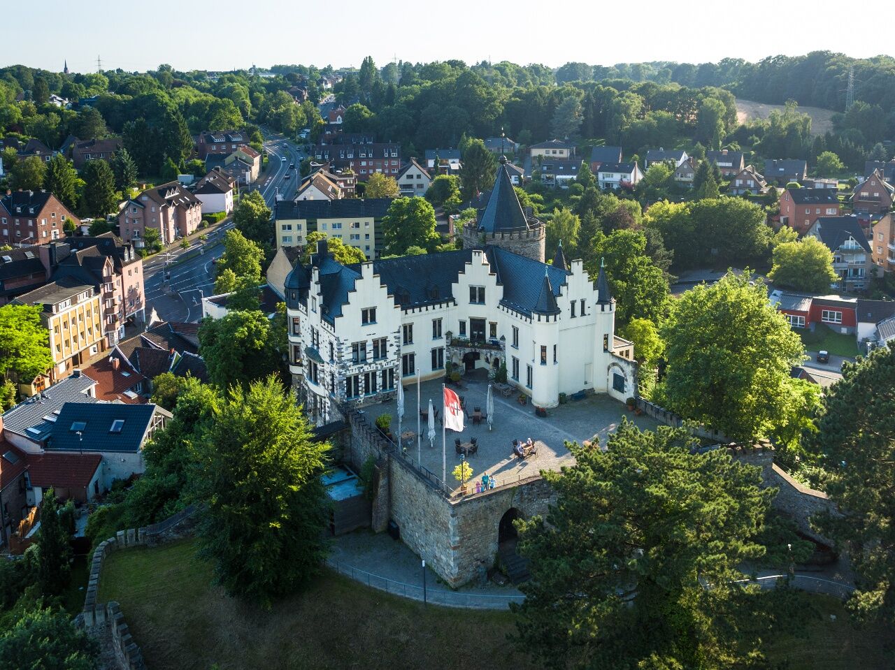
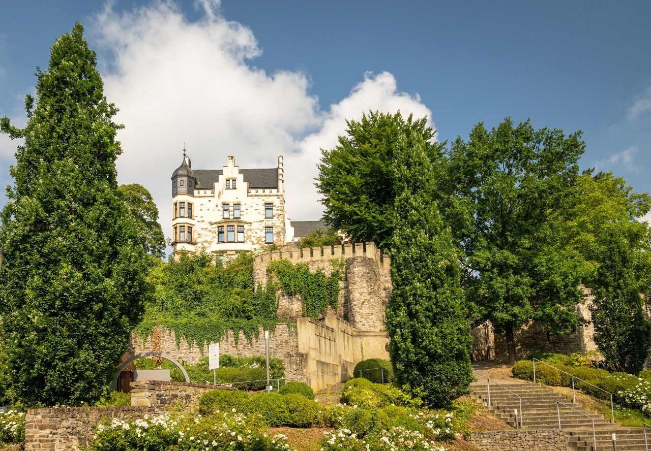
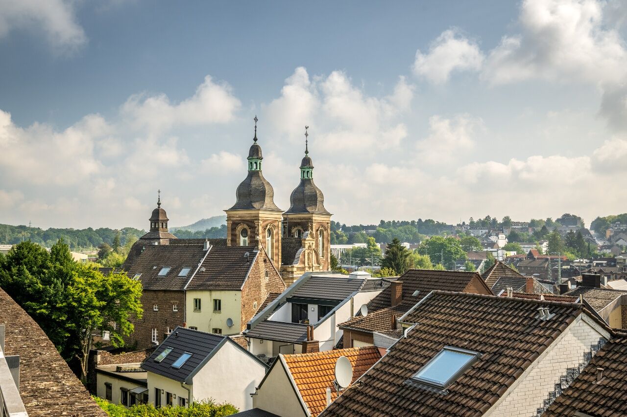
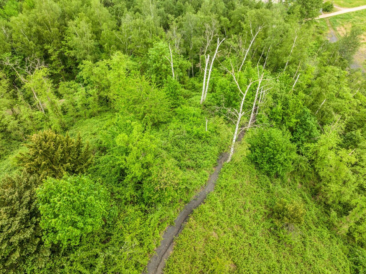
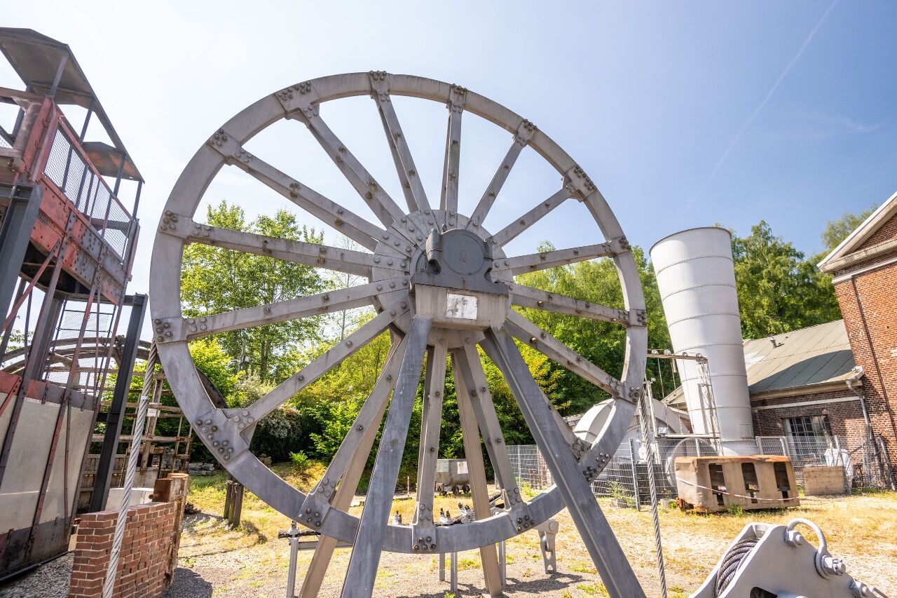
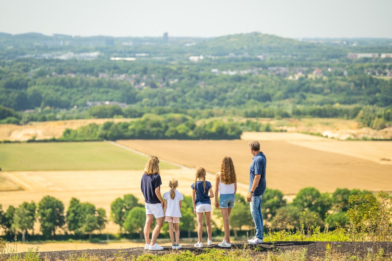
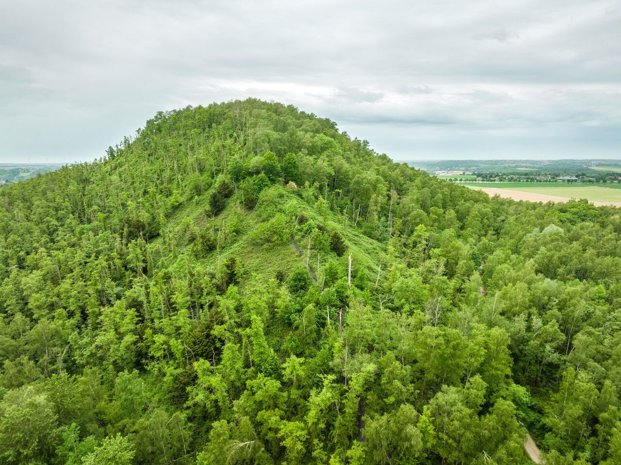
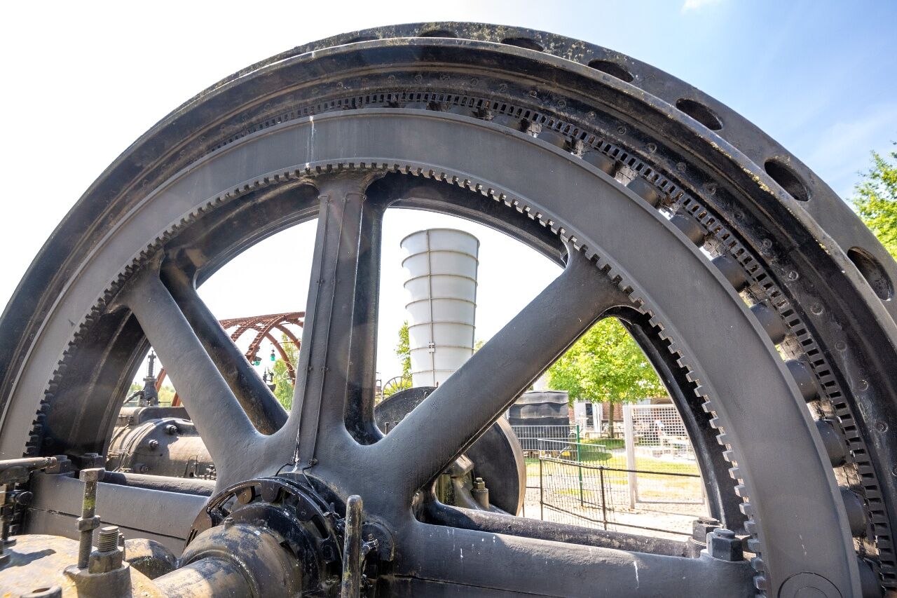
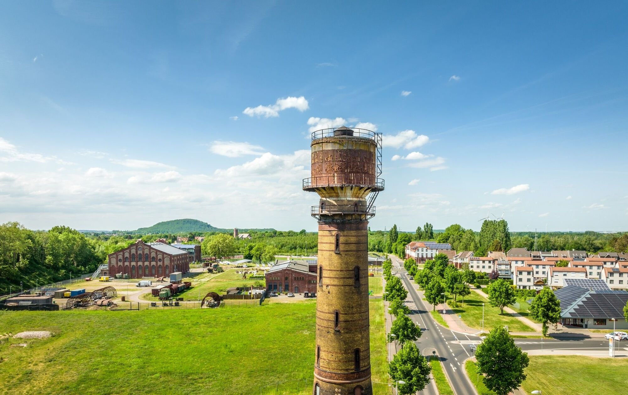
On this route you can get to know the idyllic forest, field and meadow landscapes along the Wurm and Broichbach valleys. The worm's largely natural course of the river has an impressive flow dynamics that is unparalleled in the whole country. The course of the water changes constantly due to the power of the flowing water, new channels, gravel banks, crumbling steep banks, abandoned river beds and new alluvial forests are constantly being created. The Broichbach valley also inspires with its wonderful flora and fauna. But not only nature lovers get their money's worth at Wurm and Broichbach. Numerous castles and palaces such as Burg Rode, the landmark of Herzogenrath, Schloss Rimburg, Schloss Zweibrüggen or Schloss Ottenfeld line the path and remind you of days long forgotten. Industrial cultural testimonies can also be found along the route, e.g. the Adolfpark mine with its numerous leisure and sports facilities and a viewing platform on the top of the slagheap. After the recultivation of the colliery and slagheap in the 1970s, the area was left to its own devices for decades. Nature has developed here in its natural state and has developed a wild beauty. The winding machine house at the foot of the slag heap is the last remaining building of the Adolf colliery, where hard coal was mined from 1913 to 1972. It has been restored in accordance with the preservation order and houses a well-preserved hoisting machine from the Gutehoffnungshütte Sterkrade from 1913.
highlights along the road:
Burg Rode
Wurmtal S
chloss Rimburg
Schloss Zweibruggen
Willy-Dohmen-Park
Broichbach Valley
Pit Adolf-Park

With the exception of a steeper climb behind junction 63, the track is extremely flat. The route mainly leads via car-free roads and low-traffic side roads. The partly asphalted, partly water-bound forest, economic and cycle paths are well paved.
track layout
The cycle path is signposted throughout via the junction system of the StädteRegion Aachen. From Herzogenrath railway station via junctions 20, 22, 42, 35, 36, 61, 62, 63, 37, 32, 33, 30, 29, 28, 27, 25, 18, back to Herzogenrath railway station. If you want to shorten the route, you can cycle directly to junction 33 at junction 35, so that the route is 9 km shorter.
Unterwegs mit Pittchen Pedale, Radwandern in der Städteregion Aachen, Radwegekarte 1:50.000 mit Begleitheft, 7,50 €, ISBN 978-3-89899-529-0, Meyer & Meyer Verlag
With the weather adapted clothing, enough water and a little food you are well equipped for the tour.
Behind junction 35, immediately before crossing the railway line, there is a speed limit, which forces caution at low speeds and even with a blunt approach angle.
For individual planning of your journey by car, use our route planner and enter "Herzogenrath Bahnhof" as your destination.
How to get to the starting point Herzogenrath train station
The nearest bus stop to the starting point is "Herzogenrath Bahnhof" and is served by DB local transport as well as by various bus lines.
You can obtain your personal connection information with tariff information and the conditions for taking bicycles with you when travelling by public transport at: www.avv.de
Park your car in the parking lot of the Herzogenrath railway station, which is also the starting point of the tour. Optionally, the car can also be parked on the Bergerstraße parking lot.
Refreshment stops:
Various possibilities in the city centres of Herzogenrath and Übach-Palenberg.
Hol dir den Einblick Immer live vor Ort mit über 9.500 Webcams. In der Touren App von bergfex siehst du als Pro-User jetzt zu vielen Touren die passenden Webcams. So kannst du dir direkt die aktuellen Bedingungen ansehen.Beliebte Touren in der Nähe
- 5,0
Burg Wilhelmstein - Aachener Dom (Bardenberg) #LL2ROM V14 (Erkelenz - Aachen Prt. 4 von 4)
leichtWanderung 11,5 km - 5,0
Von Heinsberg Kirchhoven entlang der Wurm nach Geilenkirchen #LL2ROM V08 (Erkelenz-Aachen 2 von 4)
leichtWanderung 24,5 km - 5,0
Geilenkirchen- Burg Wilhelmstein (Bardenberg) #LL2ROM V10 (Erkelenz - Aachen Prt. 3 von 4)
mittelWanderung 21,0 km The North of the CitiesRegion Aachen
mittelRadfahren 48,4 kmToskana im Mergelland
mittelRadfahren 38,0 kmDinotour Würselen
mittelWanderung 6,43 kmWasserburgen-Route
Radfahren 381,4 kmHöhenflug und Täler
leichtRadfahren 40,9 kmPaulinentour - Würselen-Adamsmühle
mittelWanderung 7,31 kmHöhenflugtour Herzogenrath-Streiffelt
mittelWanderung 8,96 km
Wandern & Tracking


Verpasse keine Angebote und Inspirationen für deinen nächsten Urlaub
Deine E-Mail-Adresse wurde in den Verteiler eingetragen.





