





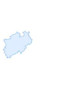

Wittgensteiner Schieferpfad (Wittgenstein slate trail) - An exciting Adventure
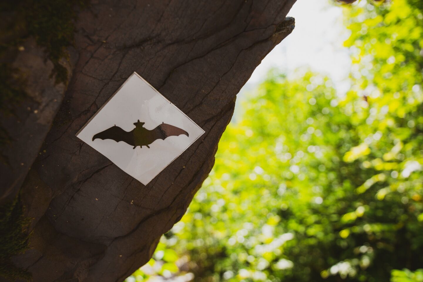
On the 15 kilometre long Wittgensteiner Schieferpfad (Wittgenstein slate trail), the bat marking shows you where to go.
As the first premium hiking route in the region, the Schieferpfad (Slate Trail) was...
On the 15 kilometre long Wittgensteiner Schieferpfad (Wittgenstein slate trail), the bat marking shows you where to go.
As the first premium hiking route in the region, the Schieferpfad (Slate Trail) was awarded the Deutsches Wanderziegen (German hikers seal) in 2005 and has been delighting visitors ever since.
The tour runs through four nature conservation areas and numerous biotopes. There is even a real bat cave along the way. Along the trail, nature runs free and reveals its full beauty - for a wilderness in the best sense.
You will come across fascinating forest scenes, impressive cliff landscapes, winding paths, giant slate heaps and quarries as well as fantastic views of the Edertal valley, the old town of Berleburg and the slate village of Raumland.
The landscape is optimally set centre stage; some sections of the trail are adventurous and alpine in nature. Discover majestic, ancient trees, idyllic waters and historic traces of slate mining.
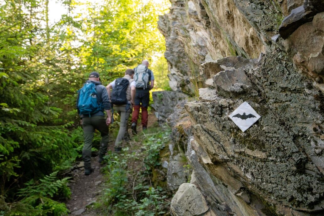
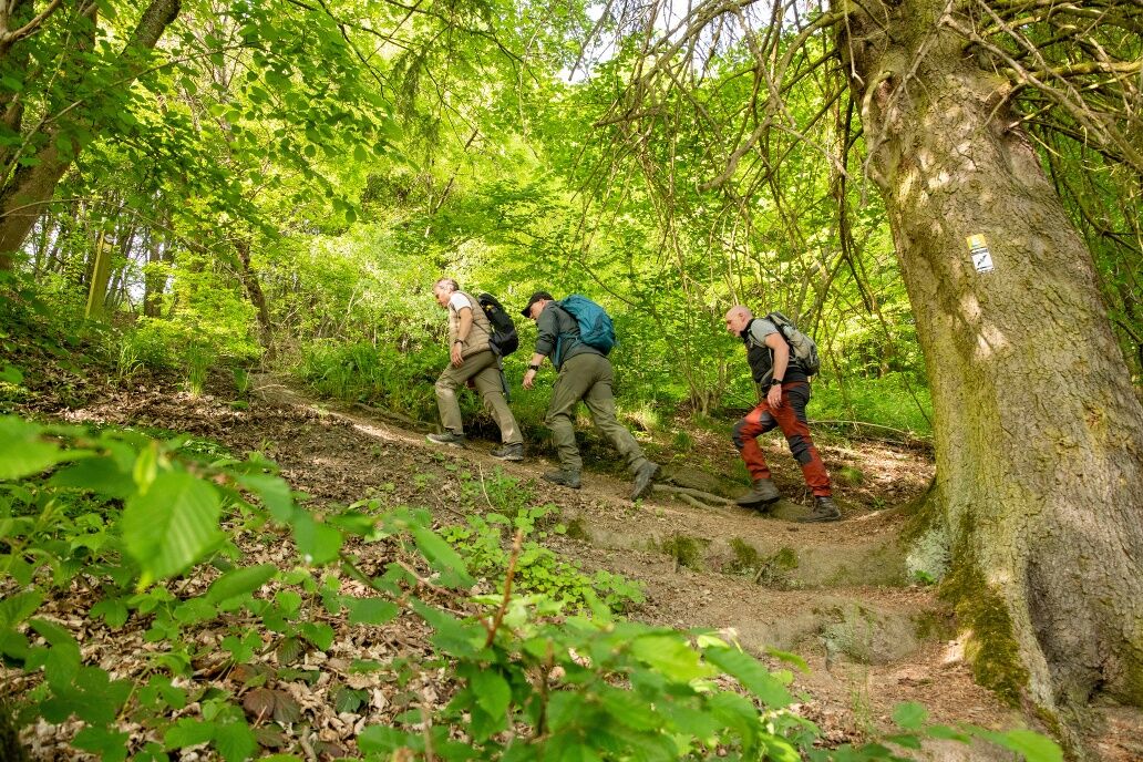
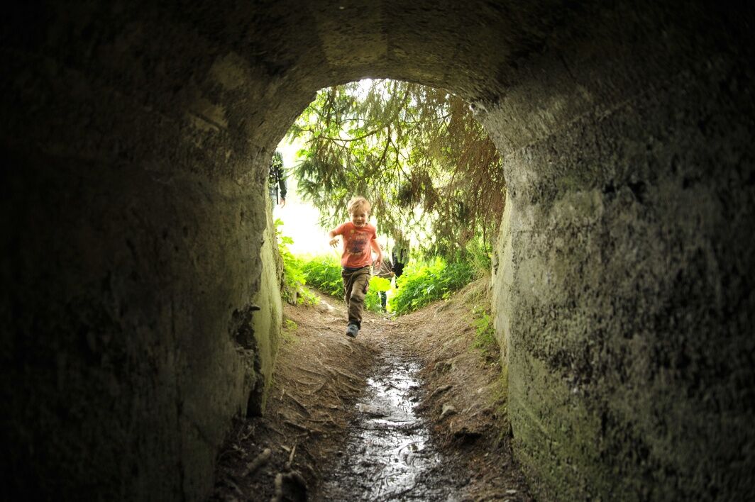
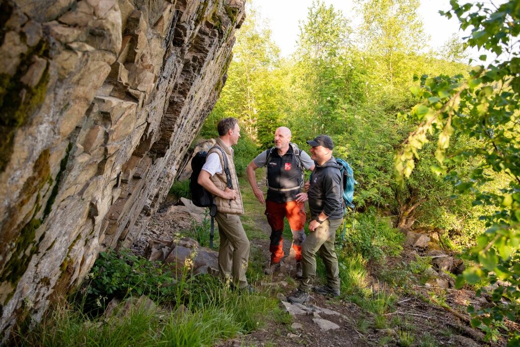

The trail starts at the “Reisegarten” Raumland car park. From there, we cross the Eder over stepping stones and then reach a picnic spot. Afterwards we pass under the old railway embankment and reach the Honert nature reserve via the “Heiligholz” escarpment. After a steep ascent, we walk through a mystical oak forest, punctuated with numerous rock faces. The descent takes us to the valley of the Meckhäuser Bach stream. Then we pass the Fredlar nature reserve with its enormous slate heaps and a stone quarry that looks like an amphitheatre. After a steep ascent, we reach more imposing rock faces and then the ridge of the Fredlar hill. During the descent to the Steinbachtal valley, we can discover track ruts, the relics of a former road that led to Marburg. Cross the L 718 to reach the “Auf der Lenne” hikers’ car park. Shortly afterwards, there is a beautiful view onto the old town centre of Bad Berleburg. Walk through a deadwood forest to reach the extensive “Grubengelände Hörre” nature reserve. The slate village of Raumland lies at our feet, with its important church dating back to the early Christian era. The circular route ends at the exit of the nature reserve.
Hiking map WaldReich Wittgenstein, 1: 25,000, Zweckverband Region Wittgenstein, 2nd edition 2008, ISBN 3-00-010140-3, 9,50 €
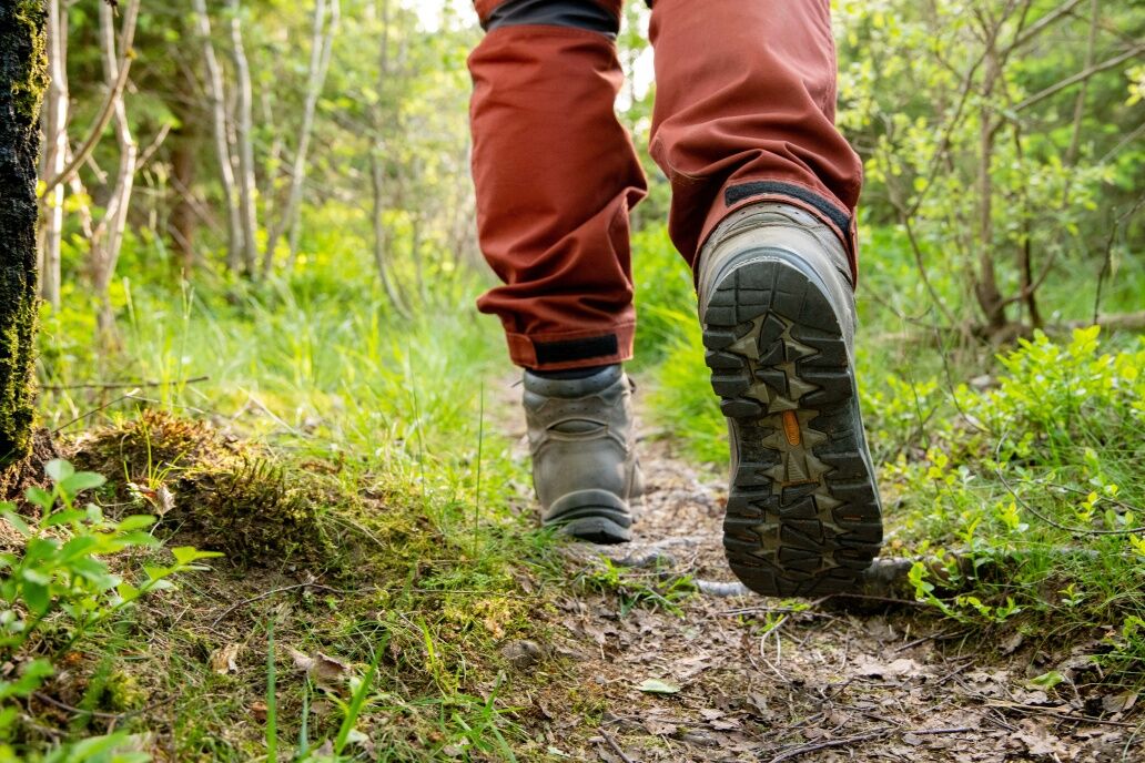
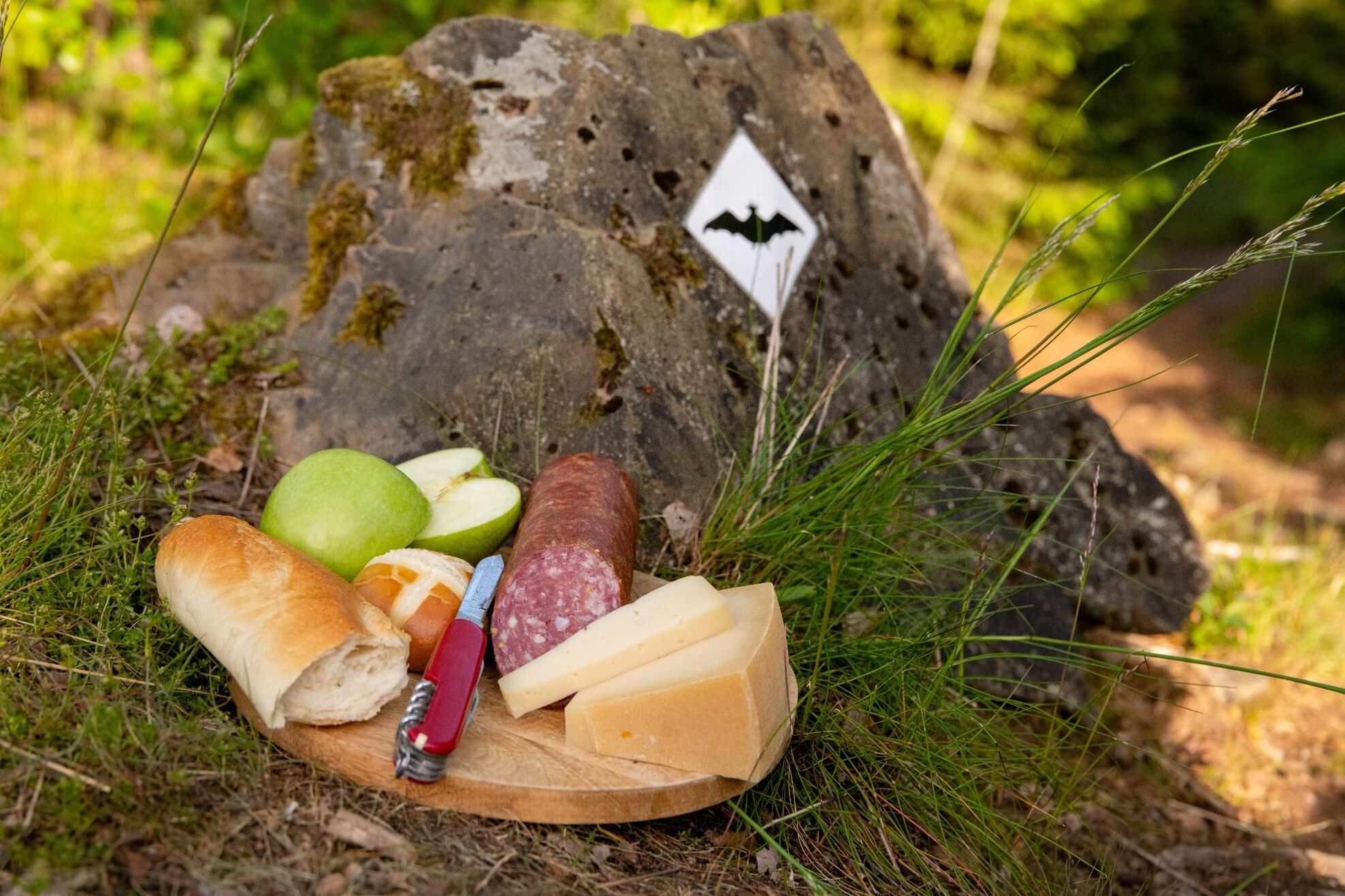
A daypack with food and enough to drink, sturdy shoes are recommended; surefootedness is needed in some places; the hike requires a good level of fitness.
Risk of slipping on slate paths and tree roots in wet weather.
Take the B480 from Bad Berleburg in the direction of Erndtebrück. After crossing the Eder bridge in Raumland, turn off onto the L553 in the direction of Frankenberg. Past the church to the slate show mine at the end of the town. The hiking carpark can be found in the valley opposite the show mine.
Free parking: Reisegarten Raumländer Straße 57319 Bad Berleburg
The Wittgenstein slate trail is among the top ranked trails on the hit list of the best premium trails in North Rhine-Westphalia, with 64 points.
Worth seeing: The Raumland slate mine.

Beliebte Touren in der Nähe
- 5,0
Rothaarsteig
mittelFernwanderweg 152 km - 5,0
Von Schanze über den Rothaarsteig nach Jagdhaus (ÖPNV-Tour)
mittelWanderung 14,3 km - 4,0
Golddorf-Route Fleckenberg
mittelWanderung 10,8 km - 5,0
Rundweg um Fleckenberg (F2)
mittelWanderung 13,9 km Lahnwanderweg 02. Etappe Feudingen – Bad Laasphe
mittelWanderung 16,8 km- 4,0
Sauerland-Höhenflug: Von Altastenberg nach Hallenberg
schwerWanderung 24,6 km - 4,0
Rothaarsteig-Spur - Zinser Grenzpfad
mittelWanderung 14,4 km Rothaarsteig-Spur Sorper Panoramapfad
mittelWanderung 12,7 kmWisent-Pfad - Rothaarsteig-Spur - Tierisches Wandervergnügen
schwerWanderung 13,2 kmLahnradweg 1. Etappe flussaufwärts Biedenkopf - Feudingen/Lahnquelle
schwerRadfahren 30,7 km
Wandern & Tracking


Verpasse keine Angebote und Inspirationen für deinen nächsten Urlaub
Deine E-Mail-Adresse wurde in den Verteiler eingetragen.





