







Oenorando® Vallon de la Caude

Along the way
La Caude is the stream that winds its way along the bottom of this pleasant little valley, which you can walk around along a trail offering beautiful scenery and a heritage typical of the...
La Caude is the stream that winds its way along the bottom of this pleasant little valley, which you can walk around along a trail offering beautiful scenery and a heritage typical of the Gaillac wine region. If you feel like it, don't hesitate to make a detour to the charming little village of Cestayrols, with its medieval houses and snail-shaped layout.
The nearby estates are also open to visitors throughout the year: Château Lacroux, Château Les Vignals, Domaines de Labarthe and de Larroque.

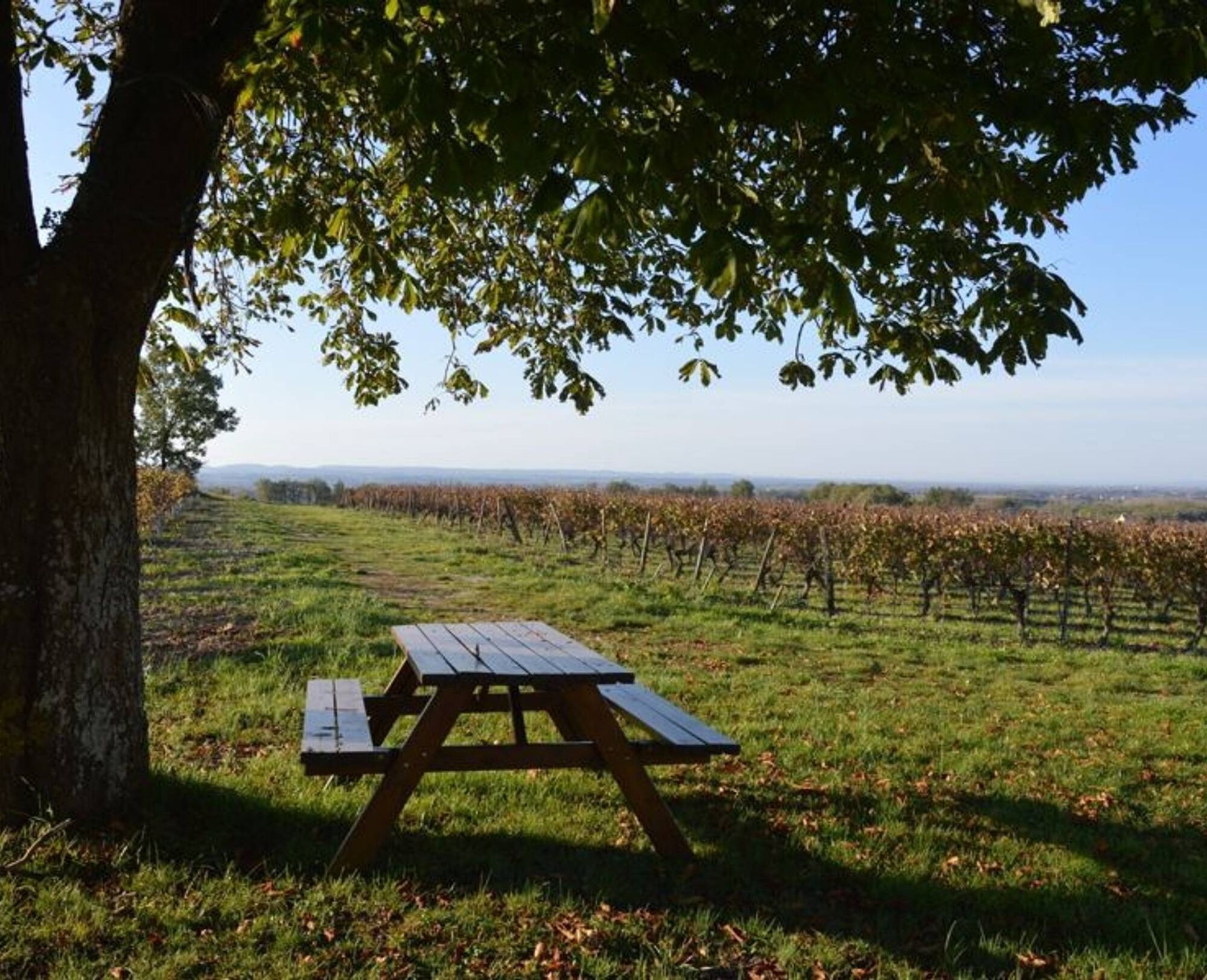
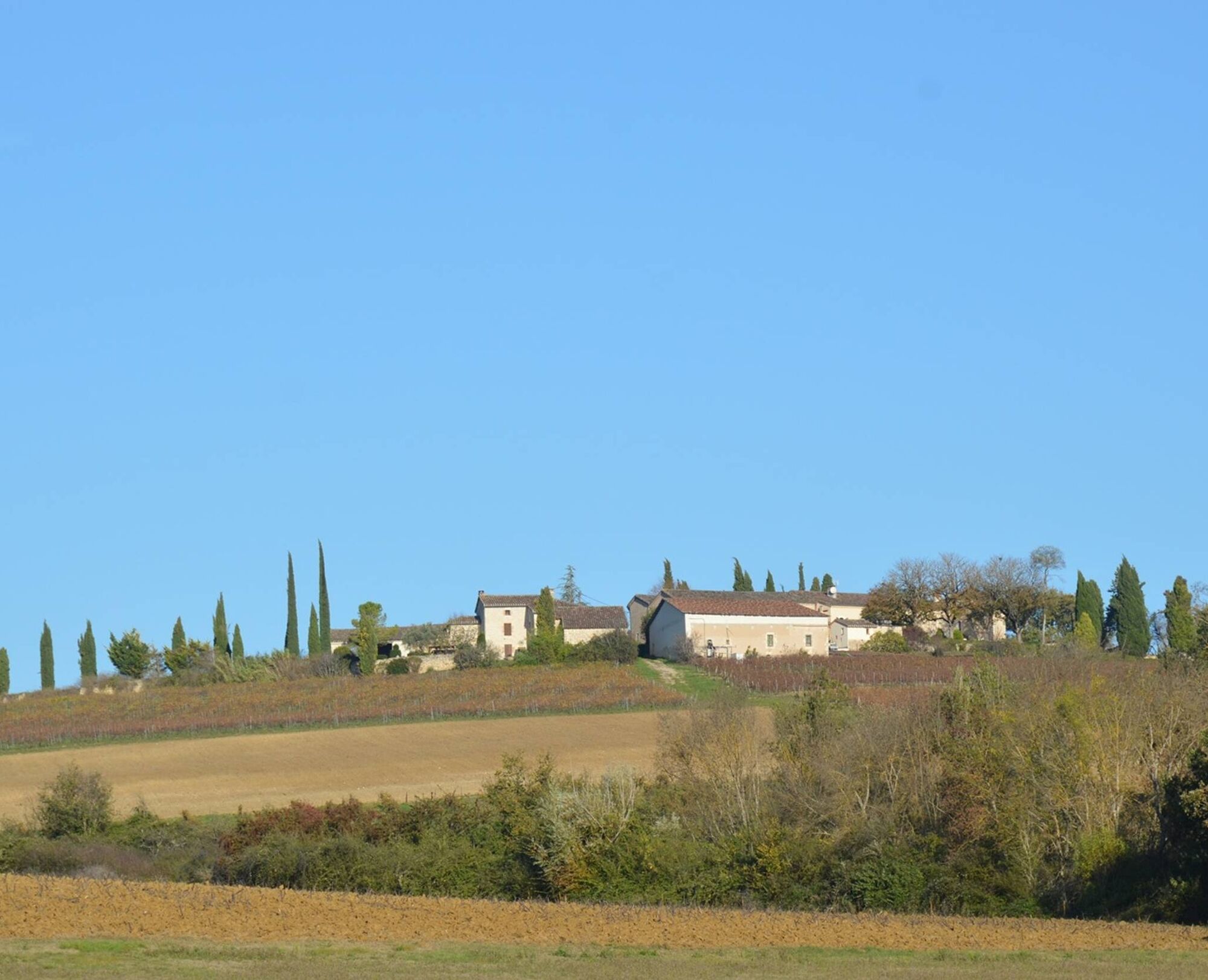
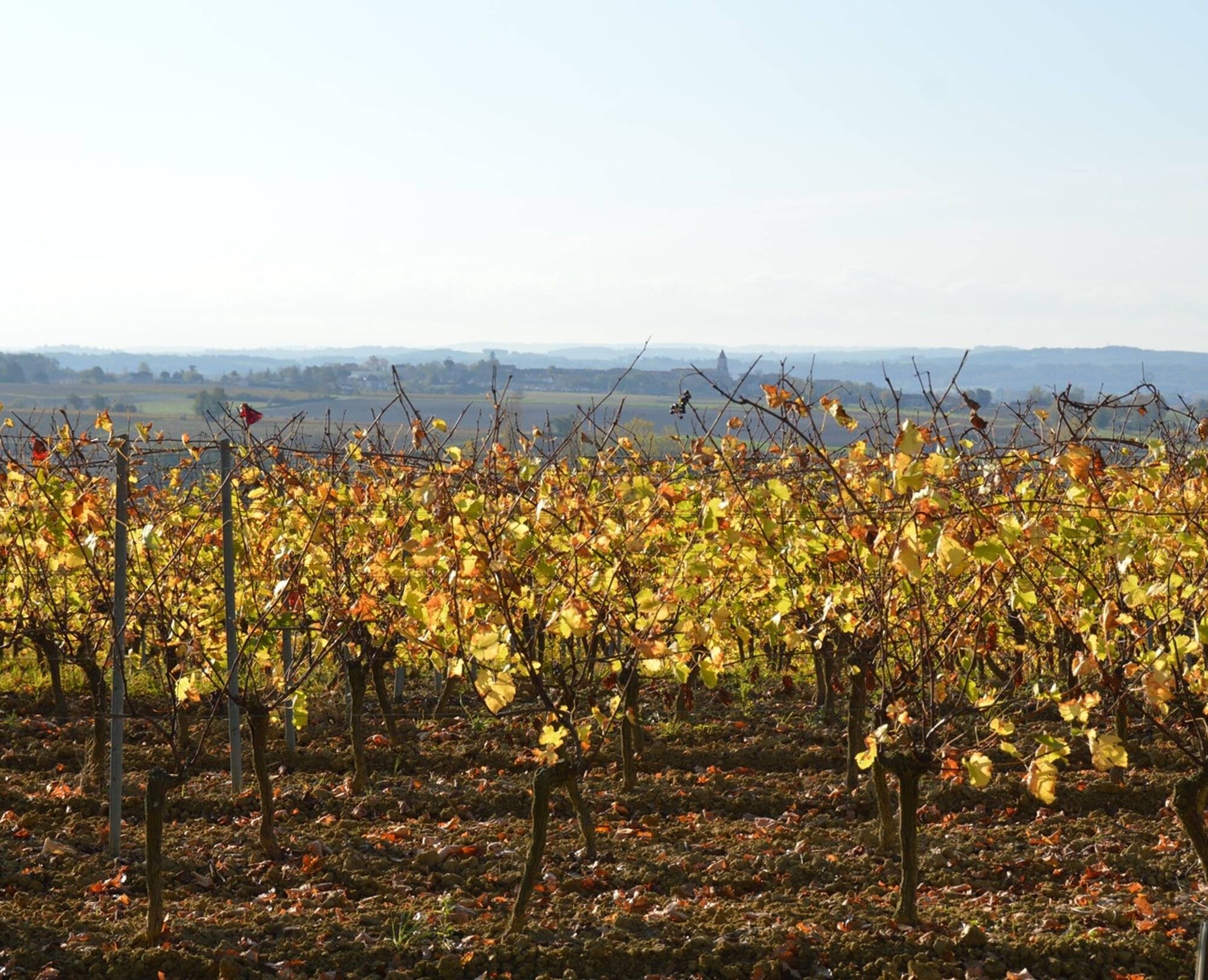

1. From the car park, take the path between the cypress trees to the departmental road. When you reach the road, turn left onto the path along the vineyard and descend to the bottom of the valley. Cross the Caude stream, then the Castanet road and join the other small road. Turn left and, 200m further on, go back up towards Plancas.
2. Cross the hamlet and take the ridge path, which offers a lovely view over the valley and the hamlet of Lincarque. Ignore the various junctions and continue to the Domaine des Vignals.
3. At the entrance to the Domaine, head down to the left through the vineyards and rejoin the Castanet road. Turn right.
4. Here, there is the option of a short variant (5.50 km). Turn left, cross the bridge over the Caude stream and go back up through the vineyards to the Lacroux estate. Continue along the Castanet road until you reach the RD n°1. Take it carefully to the left, cross the bridge over the stream and then turn right towards Moussens.
5. Cross the hamlet. On leaving, turn right onto the path running alongside the vineyard. At the road, take the path leading to Le Pouget via a right/left turn.
6. On leaving the hamlet, turn left at the crossroads and continue straight ahead along the path until you reach the RD n°1, at the entrance to Lincarque.
7. Cross the road, take the end of the path and then turn left until you reach the roundabout. Cross it and take the path opposite, which runs along the old wall. After about 300 metres, turn right and go up through the vineyards to return to the starting point.
Beliebte Touren in der Nähe
-
5,0
Weg von La Vère nach Saint-Hussou
mittelWanderung 14,2 km -
Fahrradroute - C3 Rundkurs Sainte Cécile im Weinbaugebiet Gaillacois
leichtRennrad 38,6 km -
Oenorando® Die Runde der Winzer
leichtWanderung 7,84 km -
Maraval-Weg
mittelWanderung 8,57 km -
Entdeckungspfad "Auf den Spuren der Bauherren".
leichtWanderung 2,63 km -
Strecke Conques Toulouse - Von Saint-Martin-Laguépie nach Saint-Sulpice-la-Pointe
mittelWanderung 84,2 km -
Rundreise durch Lacapelle Sainte-Lucie
mittelWanderung 11,5 km -
Weinberge und Schlösser
schwerWanderung 17,4 km -
GR46 ® - Die Albigenser Bastiden
schwerWanderung 114,2 km -
Folgen Sie dem Hahn
leichtWanderung 4,89 km
Wandern & Tracking


Verpasse keine Angebote und Inspirationen für deinen nächsten Urlaub
Deine E-Mail-Adresse wurde in den Verteiler eingetragen.





