






Moselsteig Trail Stage 13: Traben-Trarbach – Reil
Fotos unserer User
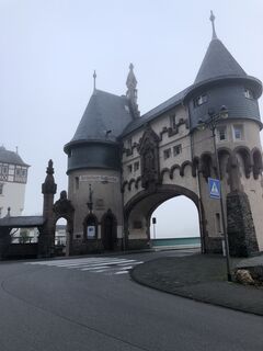
 © Ruud OligschlagerErstellt am 27.10.2022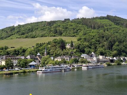
 © MayerErstellt am 21.05.2026
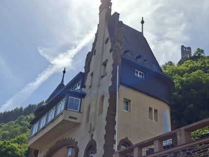 © MayerErstellt am 21.05.2026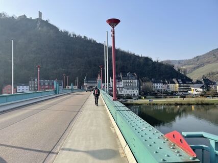
 © Michael KreutzErstellt am 09.03.2026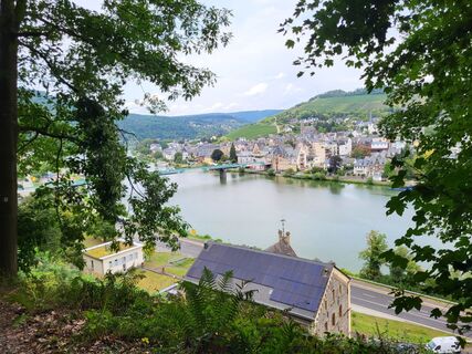
 © yolanda beckErstellt am 27.08.2025
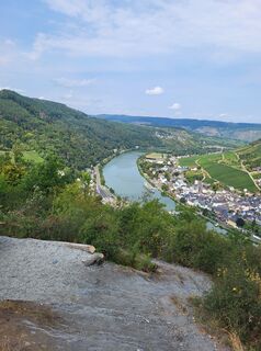 © yolanda beckErstellt am 27.08.2025
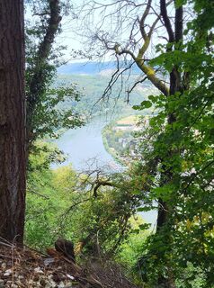 © yolanda beckErstellt am 27.08.2025
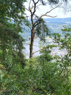 © yolanda beckErstellt am 27.08.2025
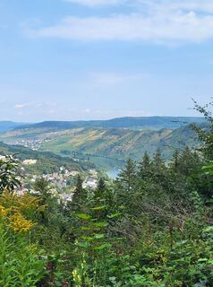 © yolanda beckErstellt am 27.08.2025
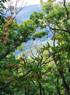 © yolanda beckErstellt am 27.08.2025
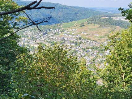 © yolanda beckErstellt am 27.08.2025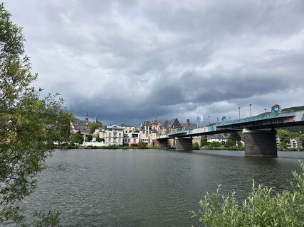
 © Noreen (NoKe)Erstellt am 05.06.2025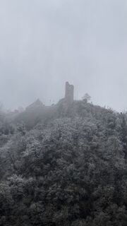
 © SandraErstellt am 29.12.2024
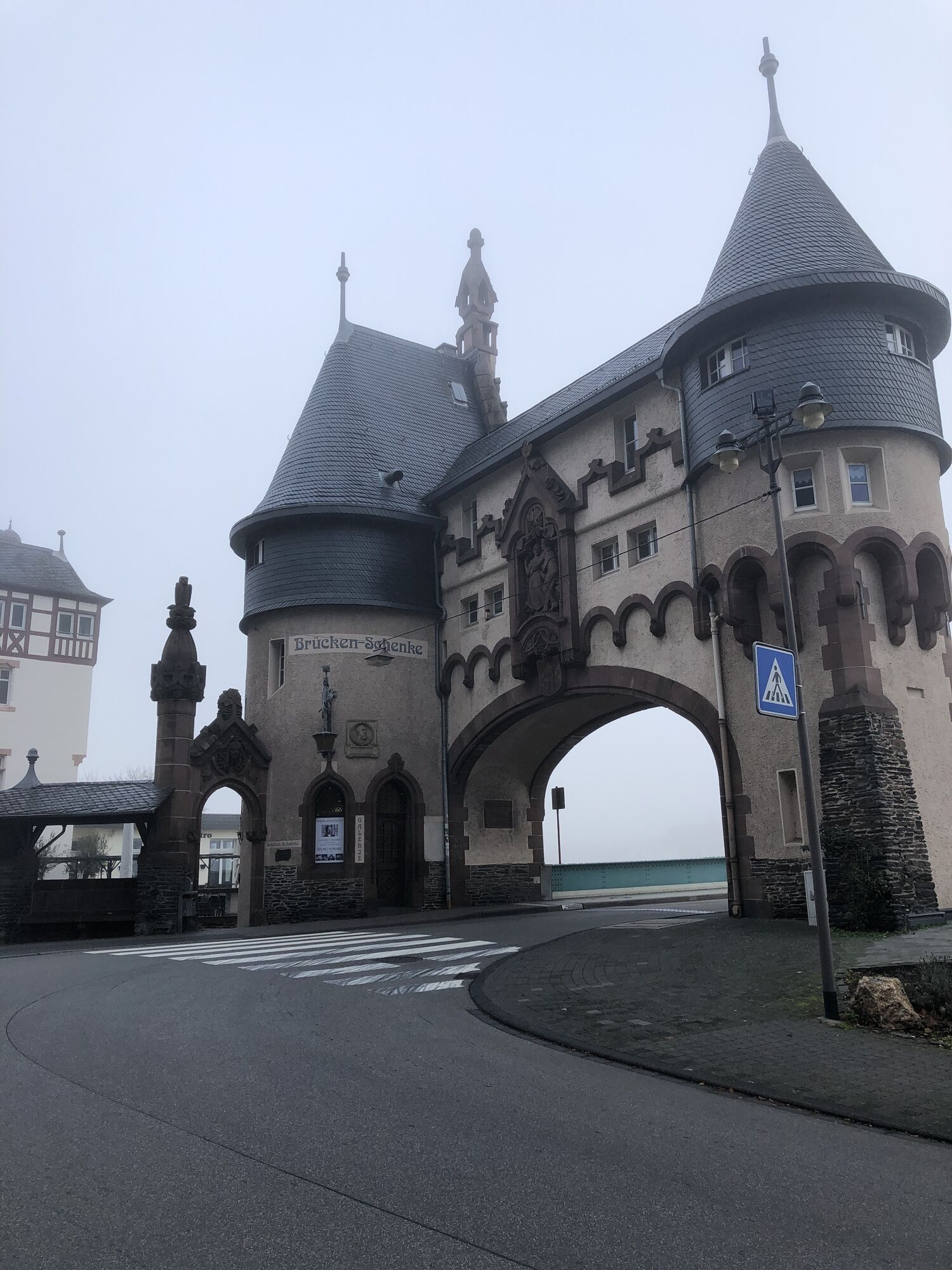
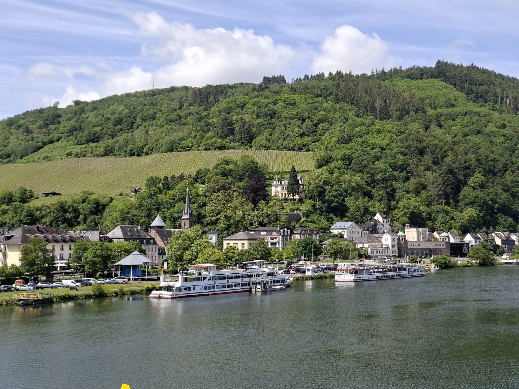
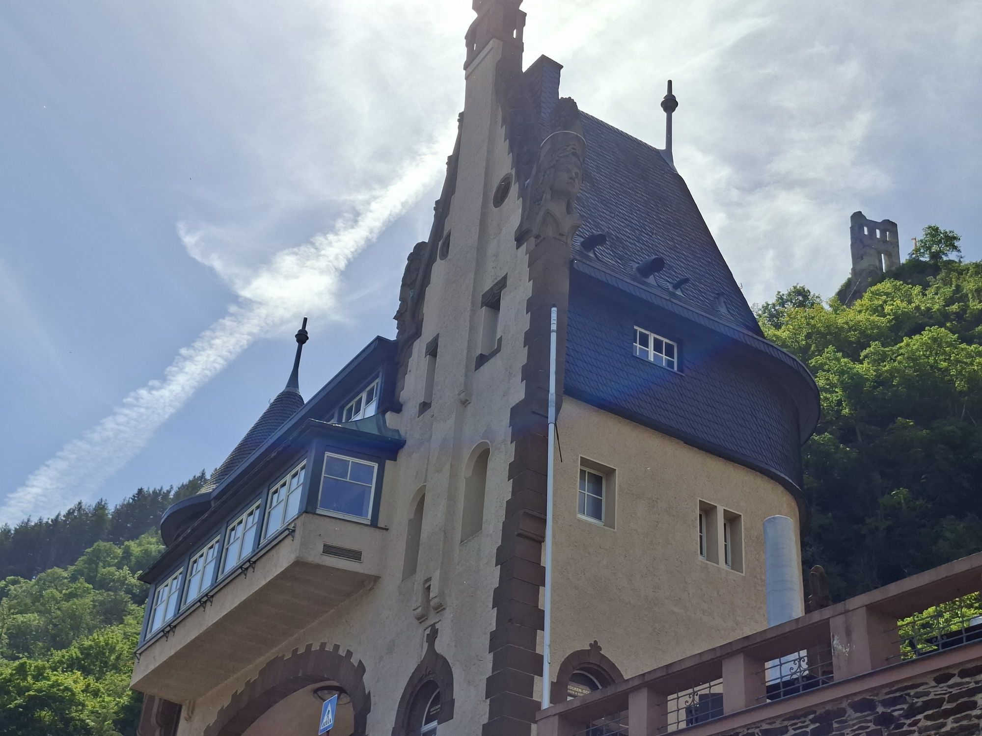
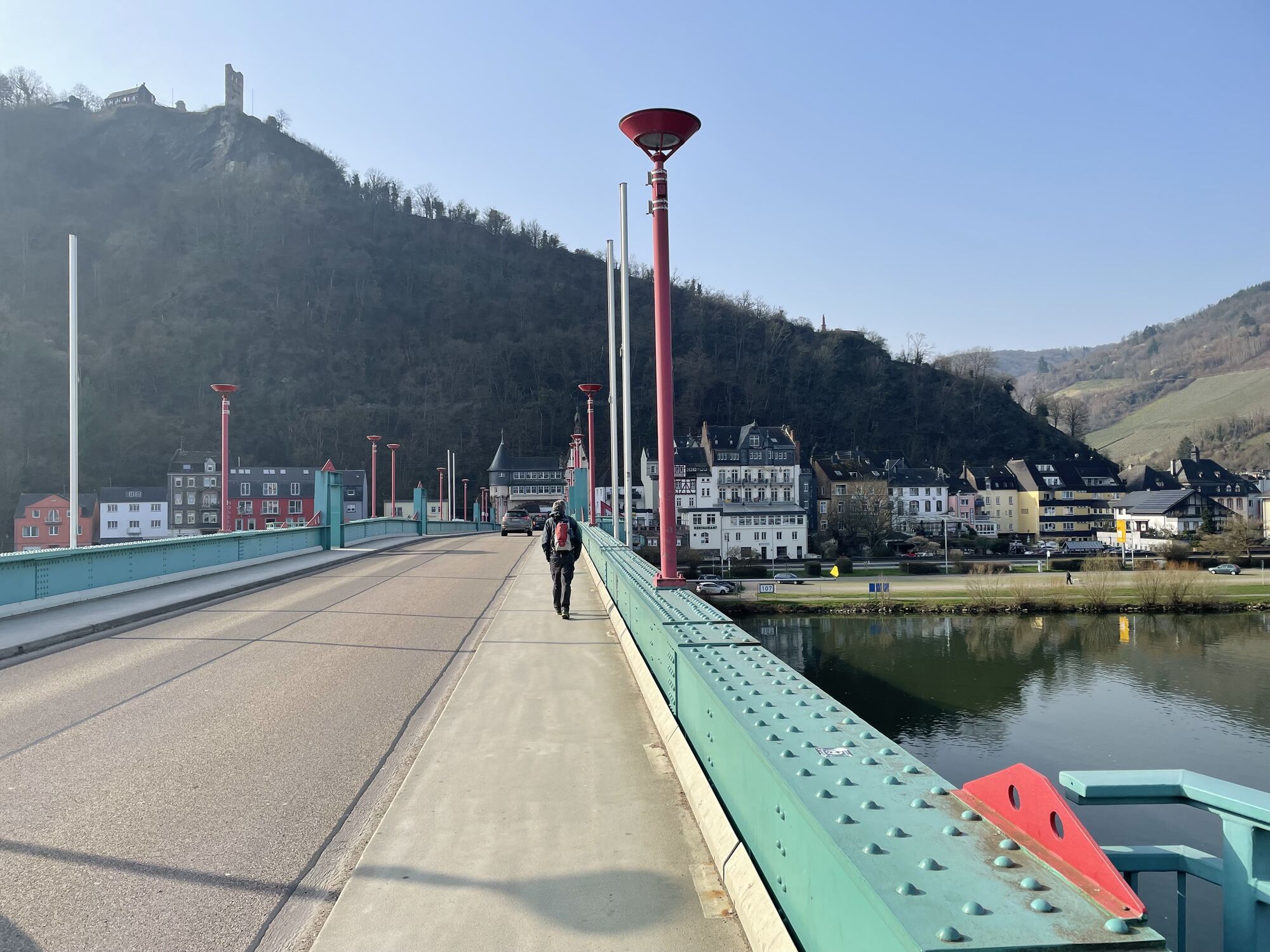
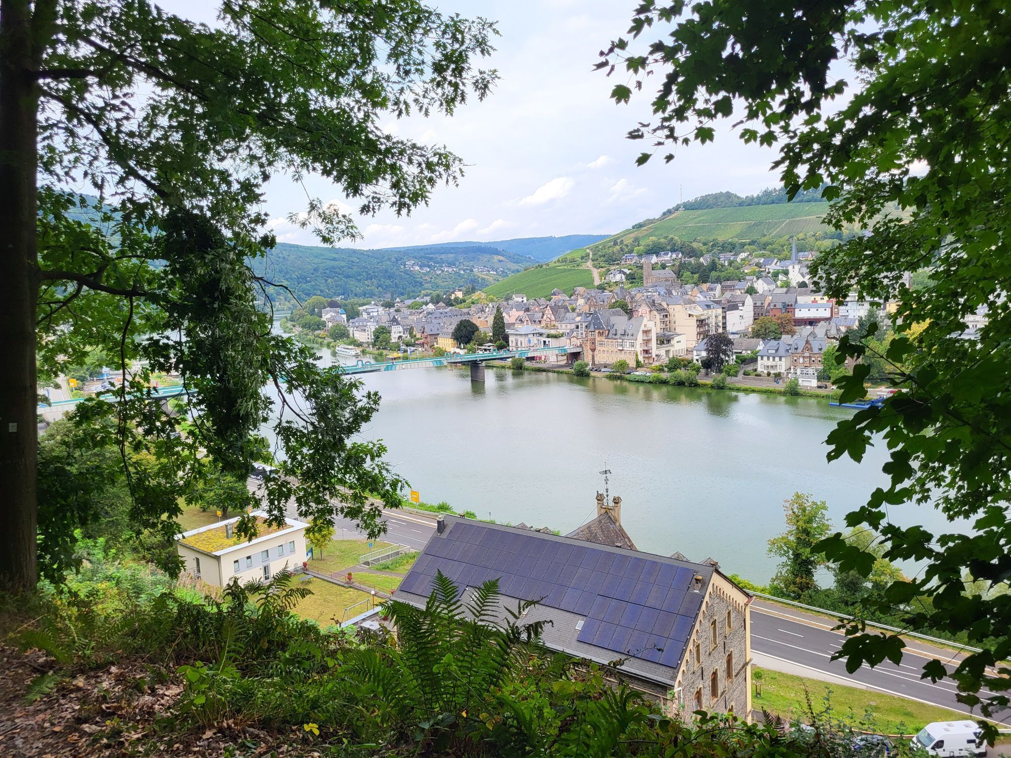
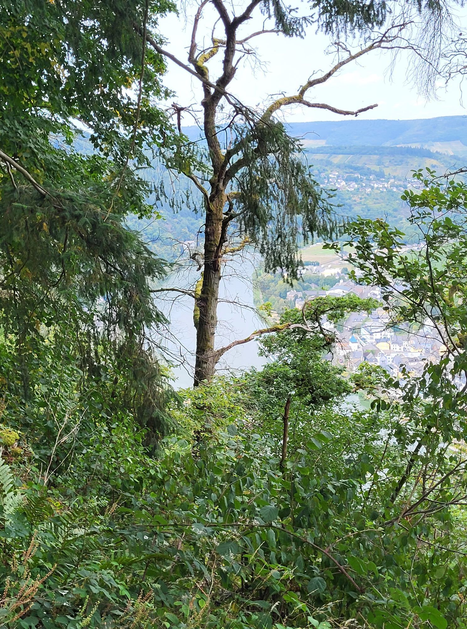
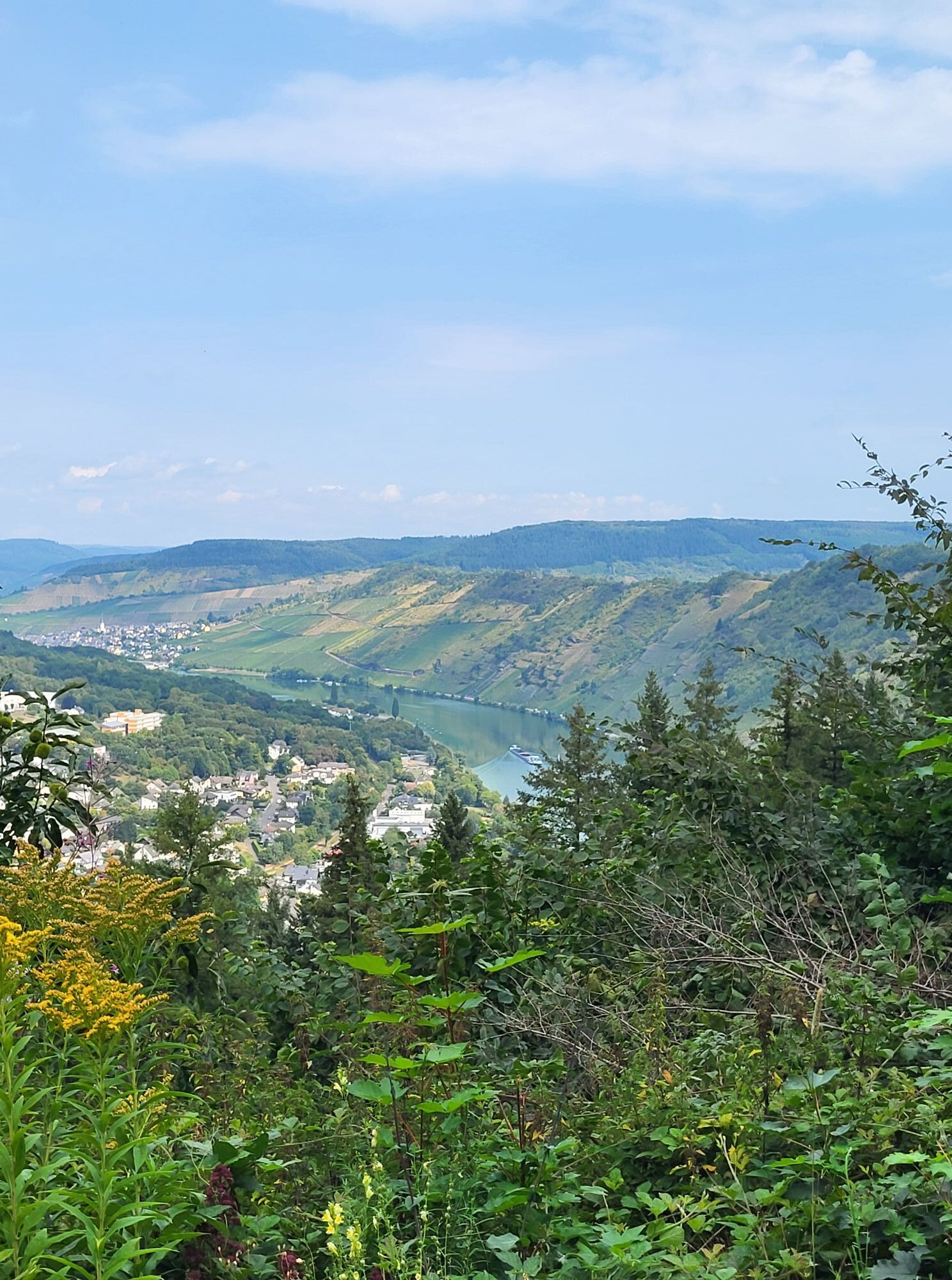
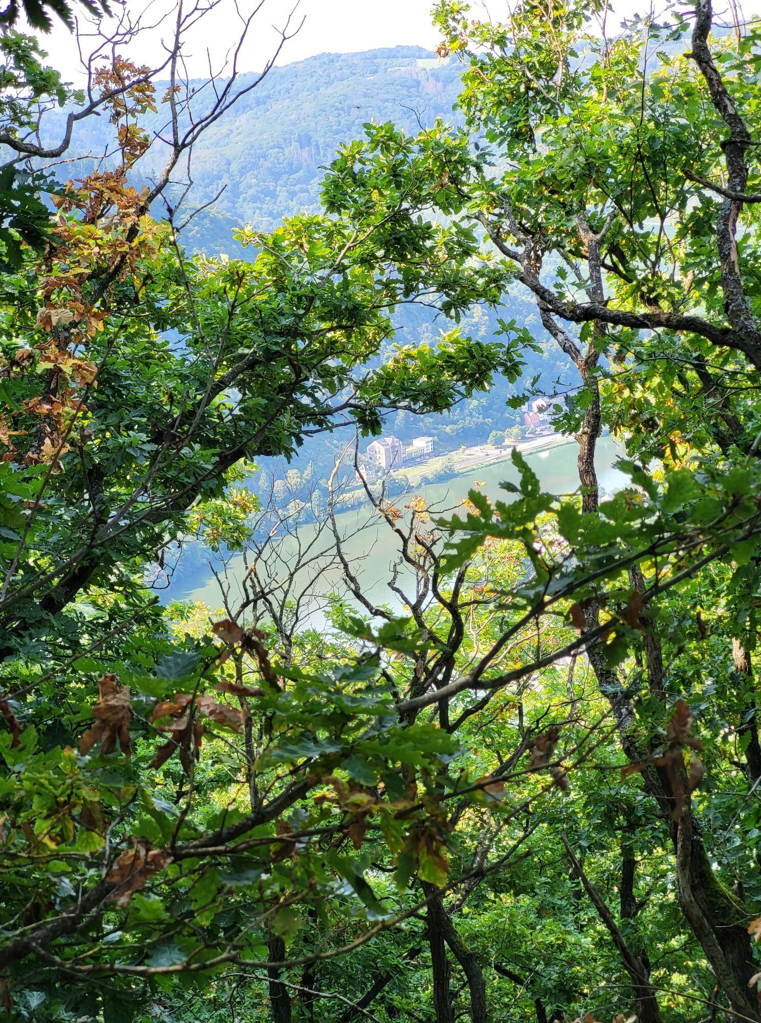
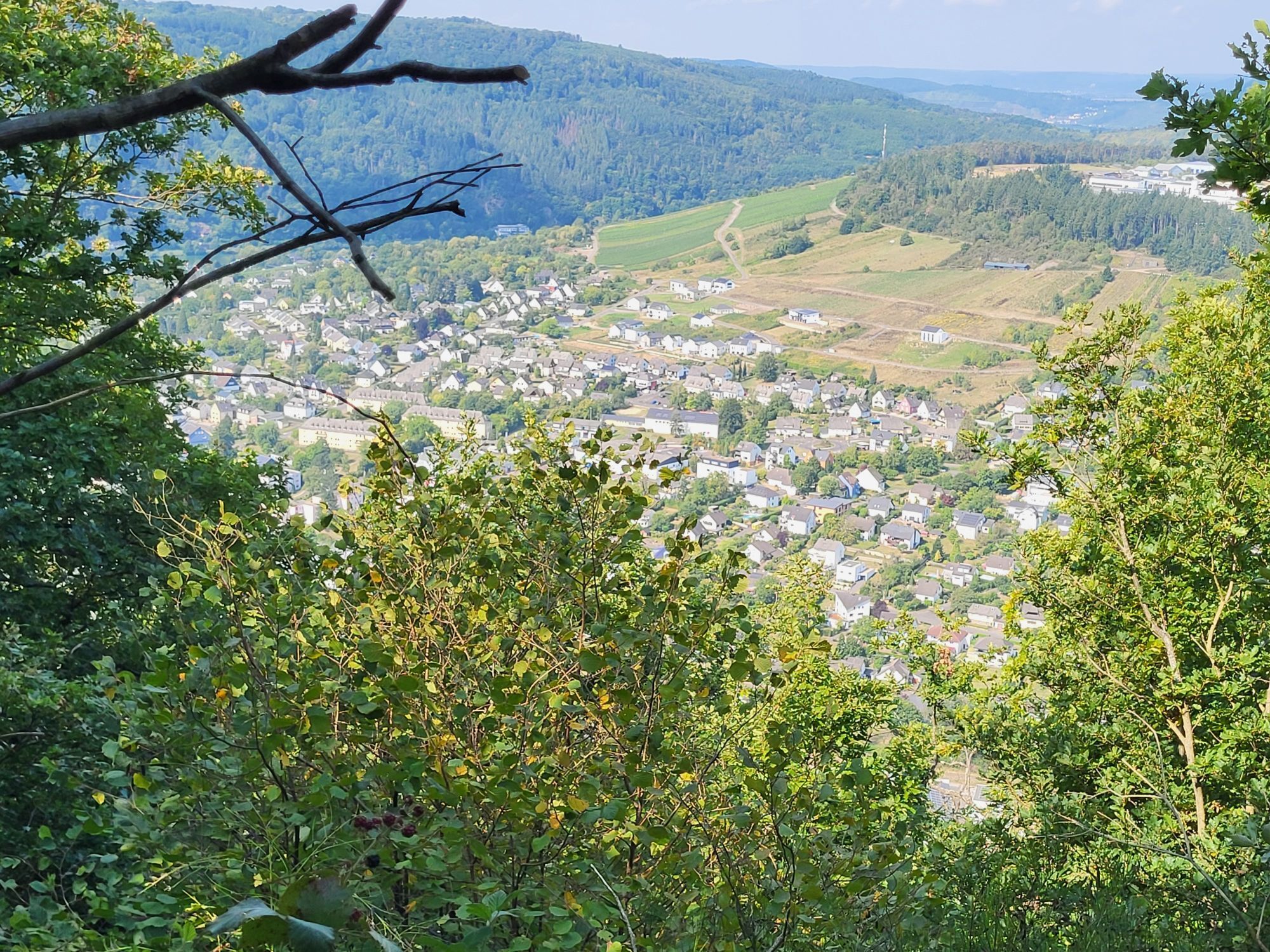
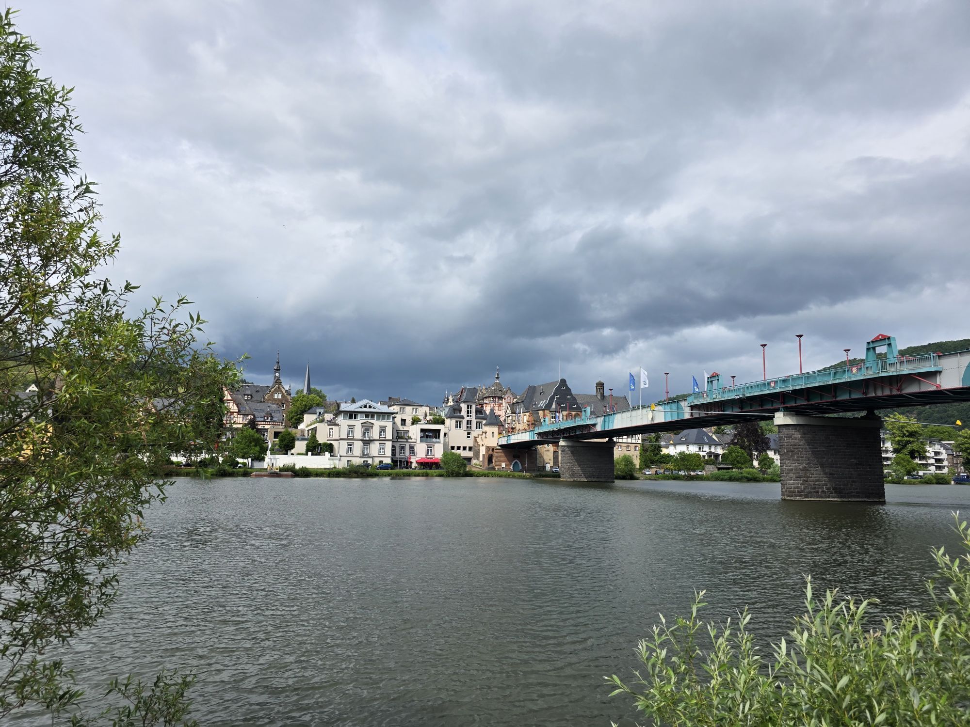
Even from the start of this stage in Traben-Trarbach, the Moselsteig Trail elates with its unusually charming views: the path follows steep hairpin bends up to the romantic ruins of Grevenburg Castle and...
Even from the start of this stage in Traben-Trarbach, the Moselsteig Trail elates with its unusually charming views: the path follows steep hairpin bends up to the romantic ruins of Grevenburg Castle and once again reveals an enchanting view of the traditional Art Nouveau town. A further climb is rewarded by spectacular viewpoints and unforgettable views over the Moselle Valley. The wine-making village of Enkirch, with its many half-timbered houses, exudes pure, unadulterated Moselle charm and romance. From there, the trail heads downstream through vineyards to Reil where you can bring the day's hiking to a very pleasant end in the village's many ancient cellars and old wine gardens.
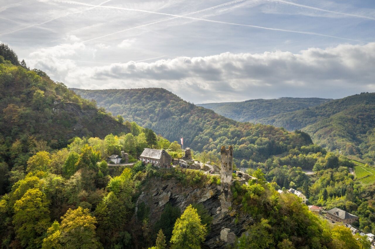
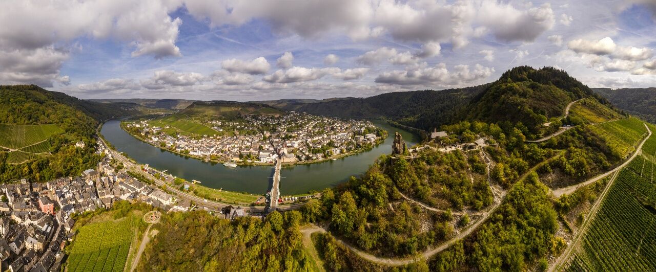

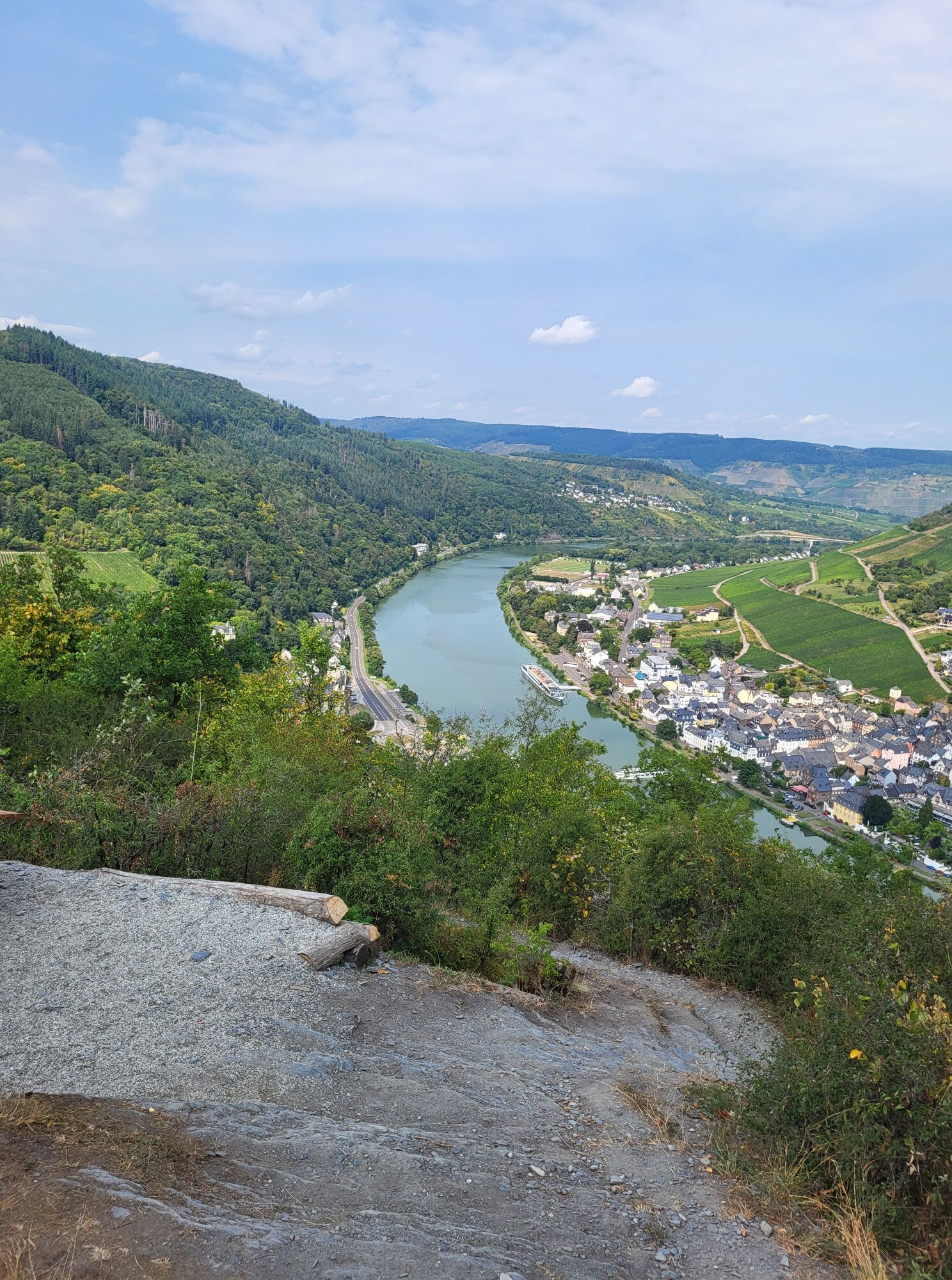
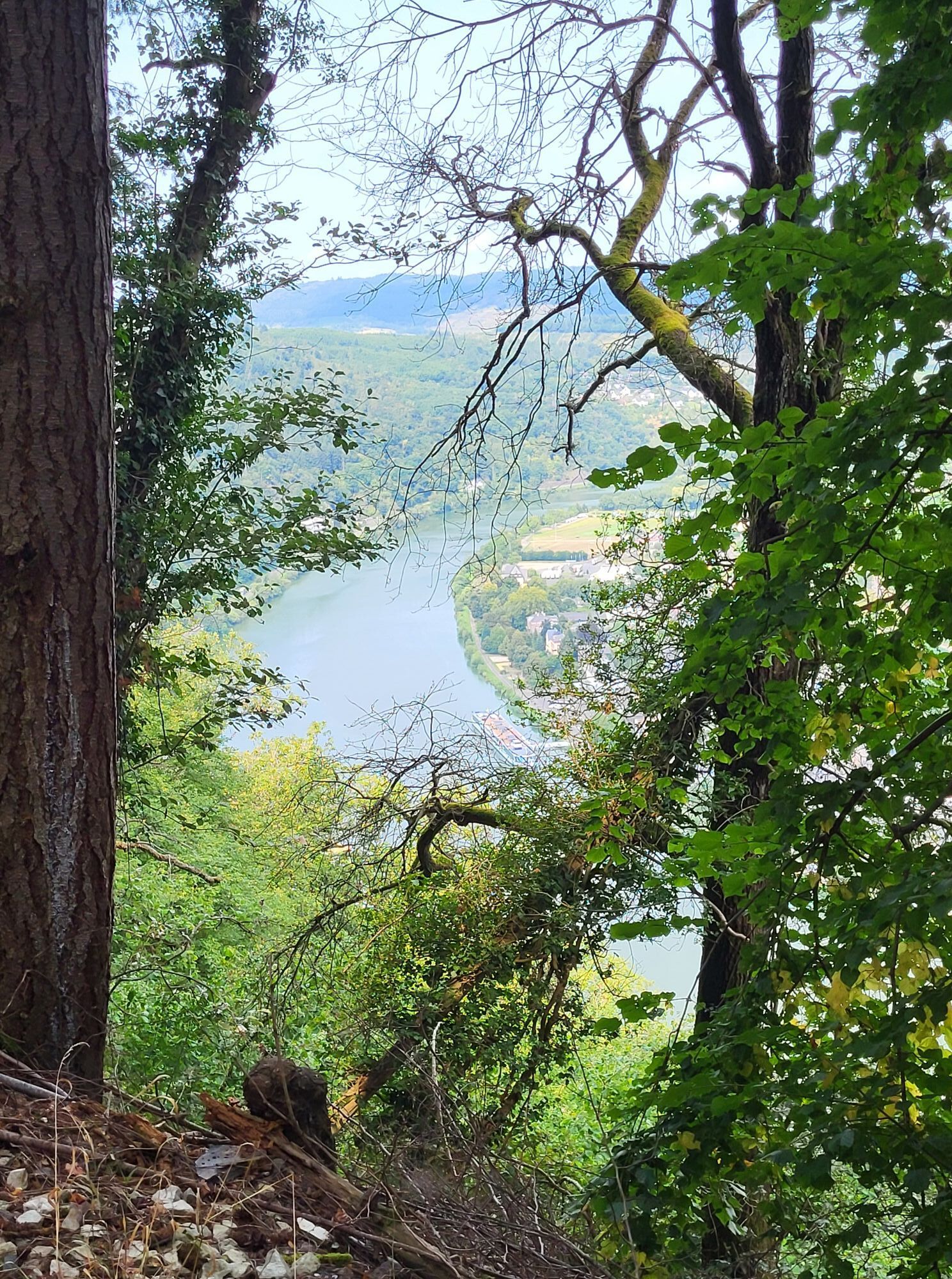
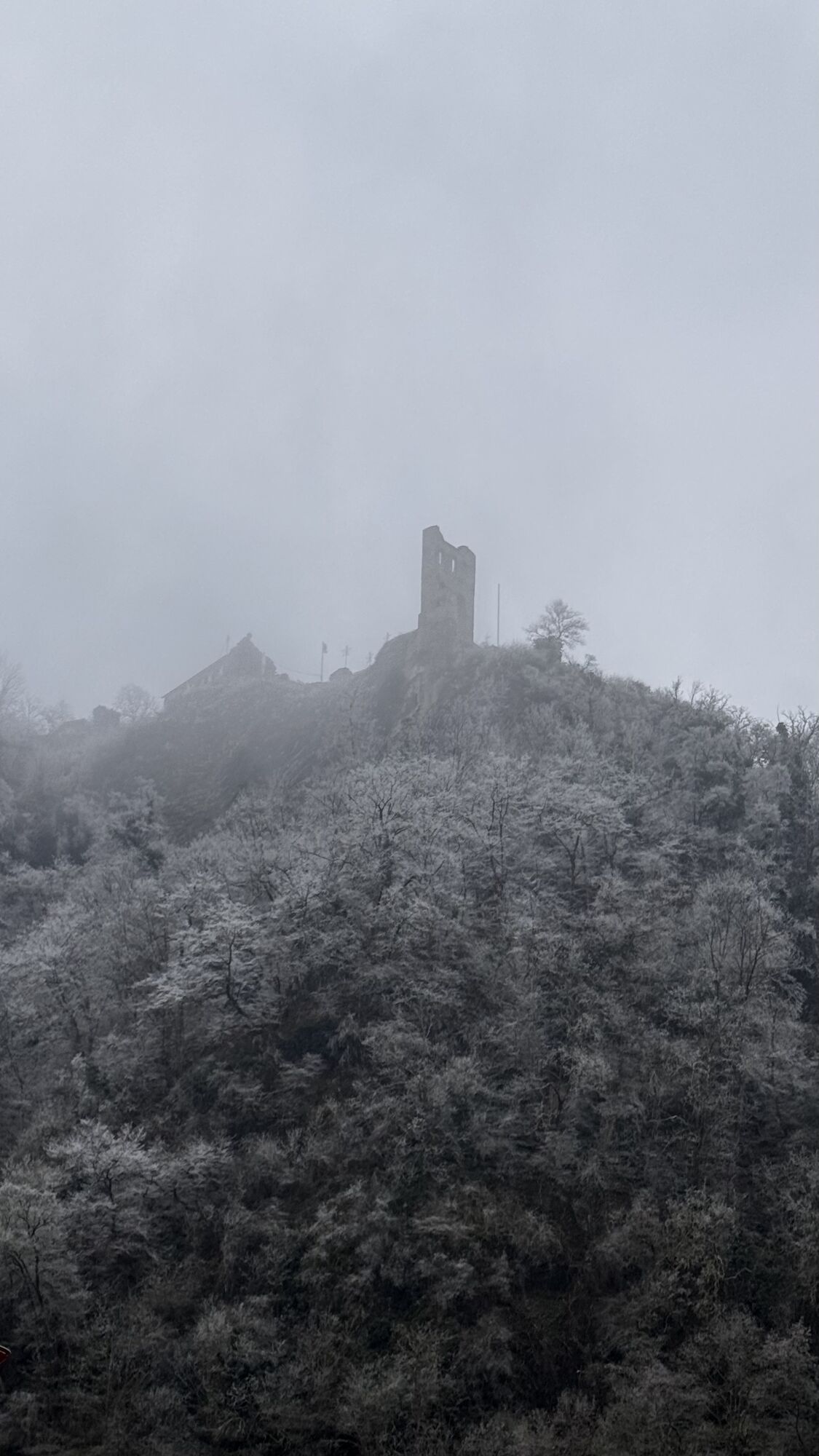
After a section on the castle access route, the trail now follows a steep, narrow slate path. The view from the “Heaven’s Gate” (Himmelspforte) invites to a short stop or even a longer break, and there is a bench for you to sit on. The ascent is not done yet, but the incline on the forest path to the Bismarkhöhe is child’s play compared to what you have already managed. At the top, the view invites to a longer break: You have a view of the entire Traben-Trabach river loop and in the middle, of the loop of the plateau with the ruins of the Mont Royal fortress and the small airfield site.
From the viewing point the Moselsteig Trail continues on a path through the forest. After a few steps, the lowest point is reached. A short distance on, the trail ascends again on a path. The slope becomes steeper and the narrow path keeps closely to it. You now hike on a gorgeous section through the forest which is dominated by low oak trees. A short distance further you arrive at the Auf’m Rach viewing point, which awaits complete with mountain hut, resting area and a fascinating view of the Moselle landscape. The Moselsteig Trail continues a little further on the path through the slope and reaches the former school gym grounds of Starkenburg. Here, you simply must take a moment to enjoy the view! Climbing some steps, you continue to the main road of the small town, which lies on the ridge like an eagle’s nest, between the Moselle and Ahringsbach Valley. The trail changes the side of the mountain and leads though the slope, which descends steeply to the Ahringsbach.
After a road crossing, you quickly reach the ridge again. The Moselsteig Trail again changes in the ridge facing the Moselle, and starts with a path that impresses with rugged slate cliffs and fantastic views of the Moselle. On the next 1.5 km the Moselsteig Trail closely follows the ridge, which leads to the Moselle Valley, in some sections as a narrow free rocky ridge - a path with rocky underground, leading up and down with varying views, a truly gorgeous section! Along the way there are also several huts and benches. The Kirster Grat ends at the Rottenblick resting area. From here you can already see Enkirch, the next stopover.
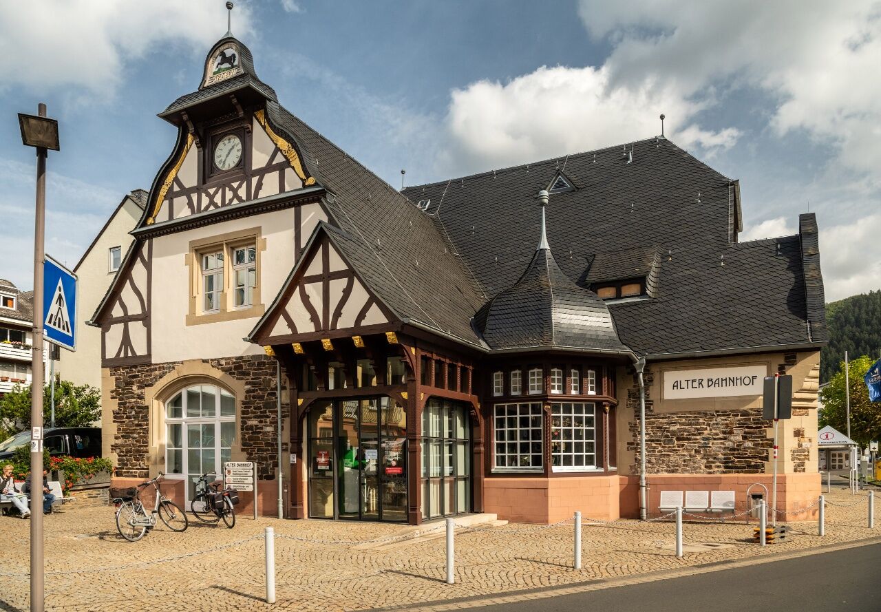
The trail now descends to Enkirch. After a short section through the narrow alleyways you will reach a path that will take you downhill from the higher village to the lower village. Once you arrive at the lower village, you will cross the Großbach on a footbridge. At the Brunnenplatz, you have now arrived at the town centre of Enkirch. Follow a side street and you will reach the outskirts of the town again. After crossing a small side valley, the trail continues through the vineyards. First the path leads steeply uphill through rows of vines and then reaches the forest on a path parallel to the slope. The path now remains on more or less the same altitude. On a trail loop you can visit the wine growing village Burg. Through the vineyards, you arrive at a chapel. Here, the Moselsteig Trail meets a wine educational trail, which you continue on until the next resting area. There is also an access route to the castle. The trail now mainly runs through the fallow areas of former vineyards, which does not detract from the hiking experience as the view of the Moselle Valley is even better! The “comfortable” section on the grassy path ends suddenly at a crossing. On a path, the Moselsteig Trail crosses through a fallow area and reaches the lower slope path. Continue a short distance on this vineyard path with a beautiful view of Reil, the end of this leg. Then a steep descent is next. (At this point there is also an access route to Pünderich). The Reiler bridge is quickly reached following this steep vineyard path, and you will cross this bridge for the second time today to change to the other side of the Moselle. Continuing along the Kaiserstraße you arrive at the railway station, the final destination of this leg.
Leisure Map Moselsteig Trail – Map 2: Trier - Zell (Mosel) (Stages 5 - 14), ISBN: 978-3-89637-420-2
Sturdy hiking footwearAppropriate weatherproof hiking gearPicnic lunch
Starting point: Traben-Trarbach, B 53 between Bernkastel-Kues and Zell
Destination: Reil, branch off the B 53 between Traben-Trarbach and Zell, cross the bridge, branch off the B 49 between Wittlich and Cochem then follow the L 105 to Reil
Please note that during the school holidays in Rheinland-Pfalz / Saarland, on weekends and on public holidays, there may be restrictions on the frequency! Please refer to the updated daily travel times in the timetable information on the website of the Trier Region Transport Association (VRT): www.vrt-info.de
Traben-Trarbach: car parks on both sides of the River Moselle (pay car parks at certain times)
Reil: there is only limited parking at the railway station but plenty of parking spaces along the riverbank
This stage can also be split into two sections, as there is a bus stop (Zell – Traben-Trarbach) only 200 metres way from the main trail in Enkirch (signposted link road). The two sections are then 8 km (to Traben-Trarbach) and 7 km (to Reil). The bus stops in Traben-Trarbach and Reil are both on the Hunsrück side on the B 53.
 Hol dir den Einblick Immer live vor Ort mit über 9.500 Webcams. In der Touren App von bergfex siehst du als Pro-User jetzt zu vielen Touren die passenden Webcams. So kannst du dir direkt die aktuellen Bedingungen ansehen.
Beliebte Touren in der Nähe
- 5,0
Calmonter Felsensteig
mittelWanderung 6,31 km - 5,0
Moselsteig Etappe 11: Bernkastel-Kues - Ürzig
mittelFernwanderweg 17,1 km - 4,2
Moselsteig Etappe 14: Reil – Zell (Mosel)
leichtFernwanderweg 12,4 km Moselsteig (Gesamtstrecke). Dein Weg, mehr zu erleben.
mittelFernwanderweg 348,8 km- 5,0
Moselsteig Seitensprung Graf Georg Johannes Weg
mittelWanderung 14,1 km - 4,5
Moselsteig Etappe 12: Ürzig – Traben-Trarbach
mittelFernwanderweg 15,1 km - 4,0
Moselsteig Seitensprung Leiermannspfad
mittelWanderung 10,9 km - 5,0
Moselsteig Etappe 13: Traben-Trarbach – Reil
mittelFernwanderweg 15,3 km - 4,0
Mosel-Radweg (Gesamtstrecke): Von Perl bis Koblenz
schwerFernradweg 247,9 km - 5,0
Moselsteig Etappe 16: Neef – Ediger-Eller
mittelFernwanderweg 11,5 km

Wandern & Tracking


Verpasse keine Angebote und Inspirationen für deinen nächsten Urlaub
Deine E-Mail-Adresse wurde in den Verteiler eingetragen.





