





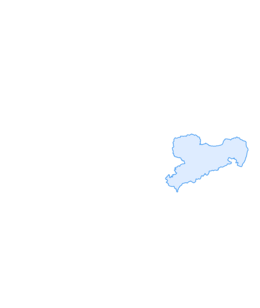

Leupoldishain Nikolsdorfer walls: Napoleonstein - Felsenlabyrinth - Spanghorn
Haltestelle Dorfplatz Leupoldishain (Markierung Gelber Strich nach der Straßenquerung auf den Wegweiser Napolionsteig achten und dem unmarkierten Weg folgen) - Napoleonstein - Felsenlabyrinth (Markierung ...
Haltestelle Dorfplatz Leupoldishain (Markierung Gelber Strich nach der Straßenquerung auf den Wegweiser Napolionsteig achten und dem unmarkierten Weg folgen) - Napoleonstein - Felsenlabyrinth (Markierung Grüner Punkt) - Panoramablick - (Markierung Blauer Punkt) Walderlebniszentrum - Stelzchen - Lantzschenweg - Hirschstange - Spanghorn - Kiefernleite

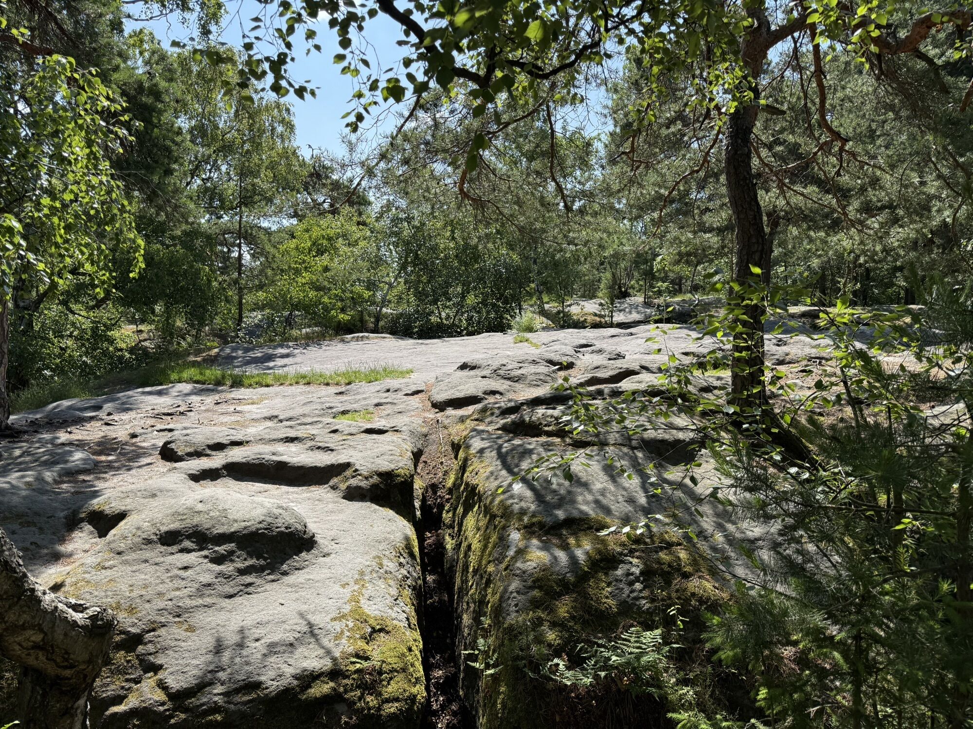
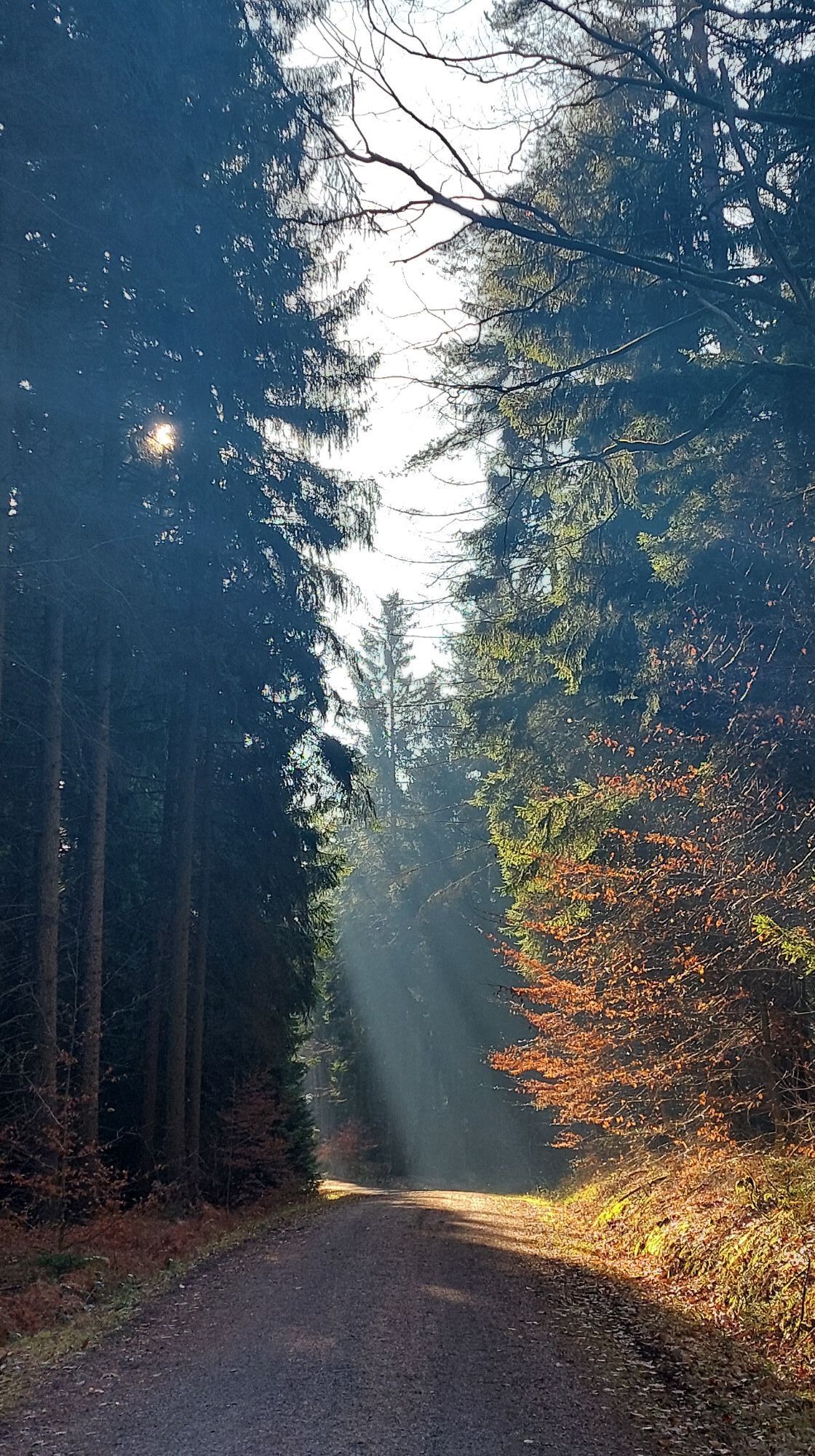
Rock-hungry hikers can make a detour to the Little Labyrinth here. The yellow line markings lead comfortably through the forest to a road. Continue on the opposite side, leave the marked path after a few minutes and follow the signpost Napoleonstein.
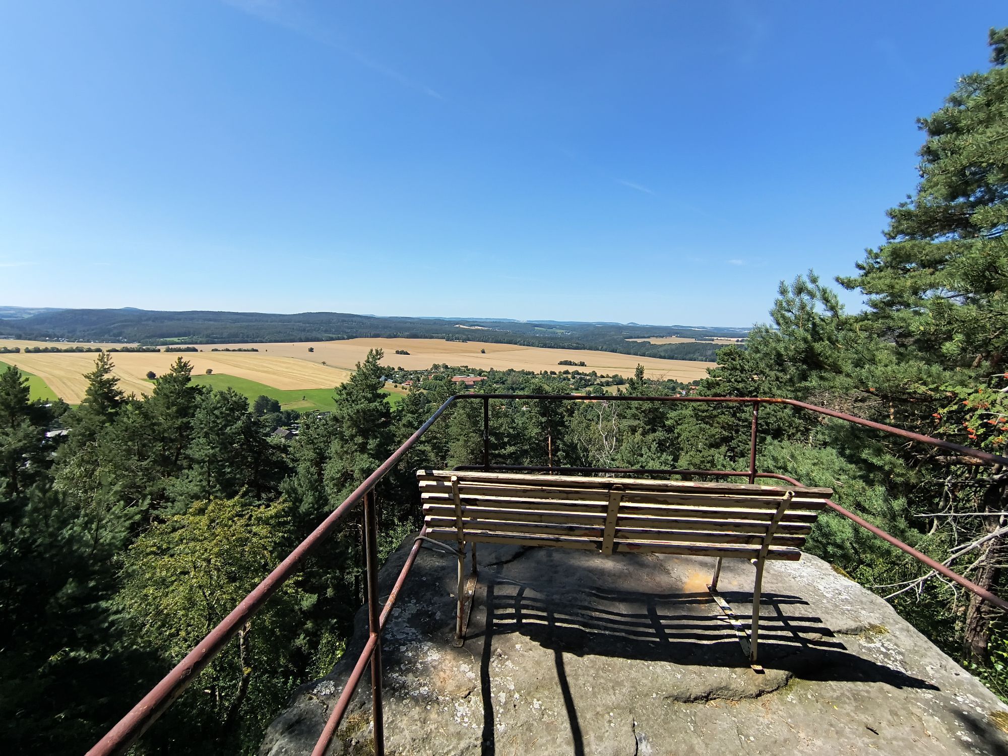
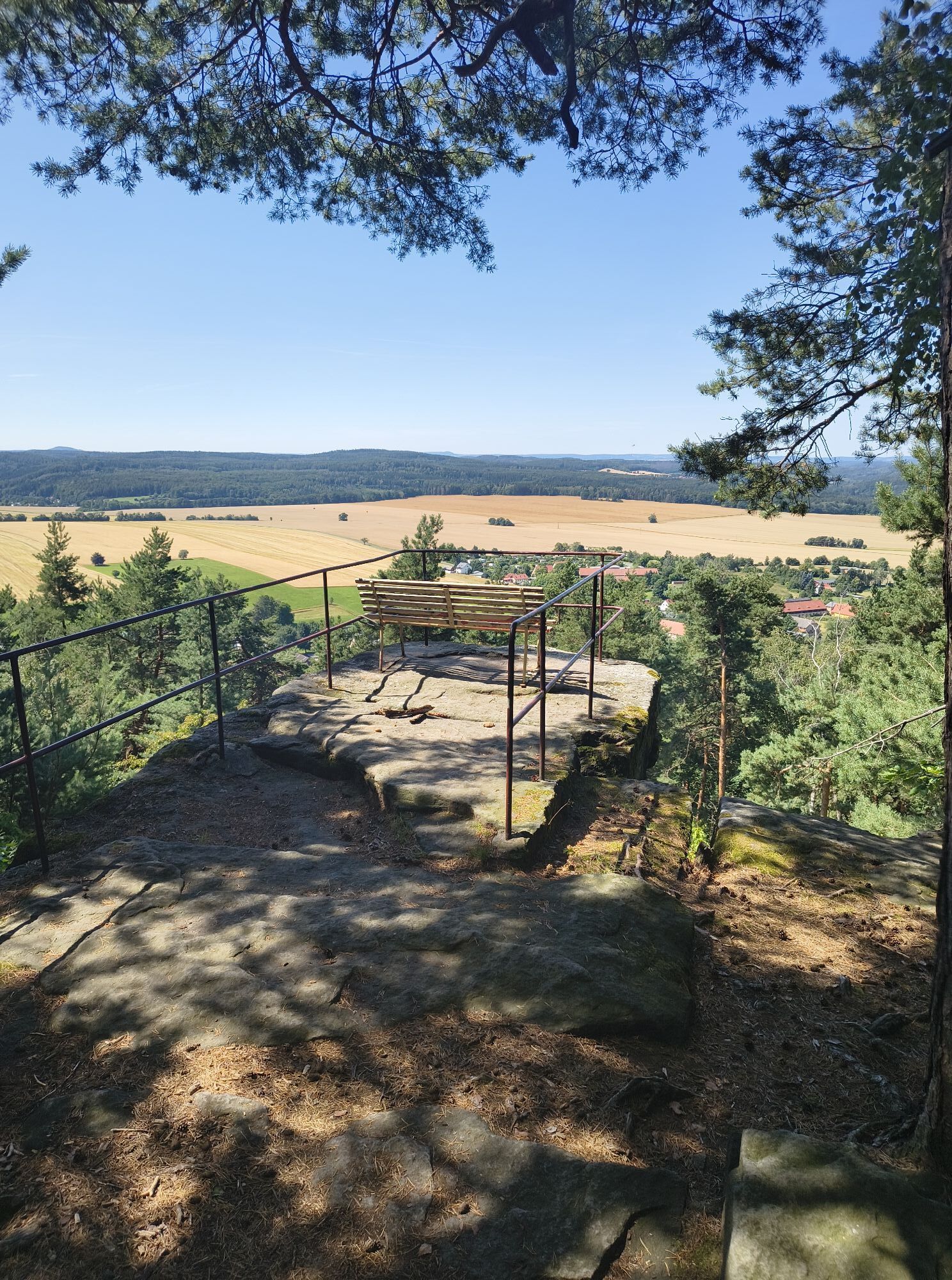
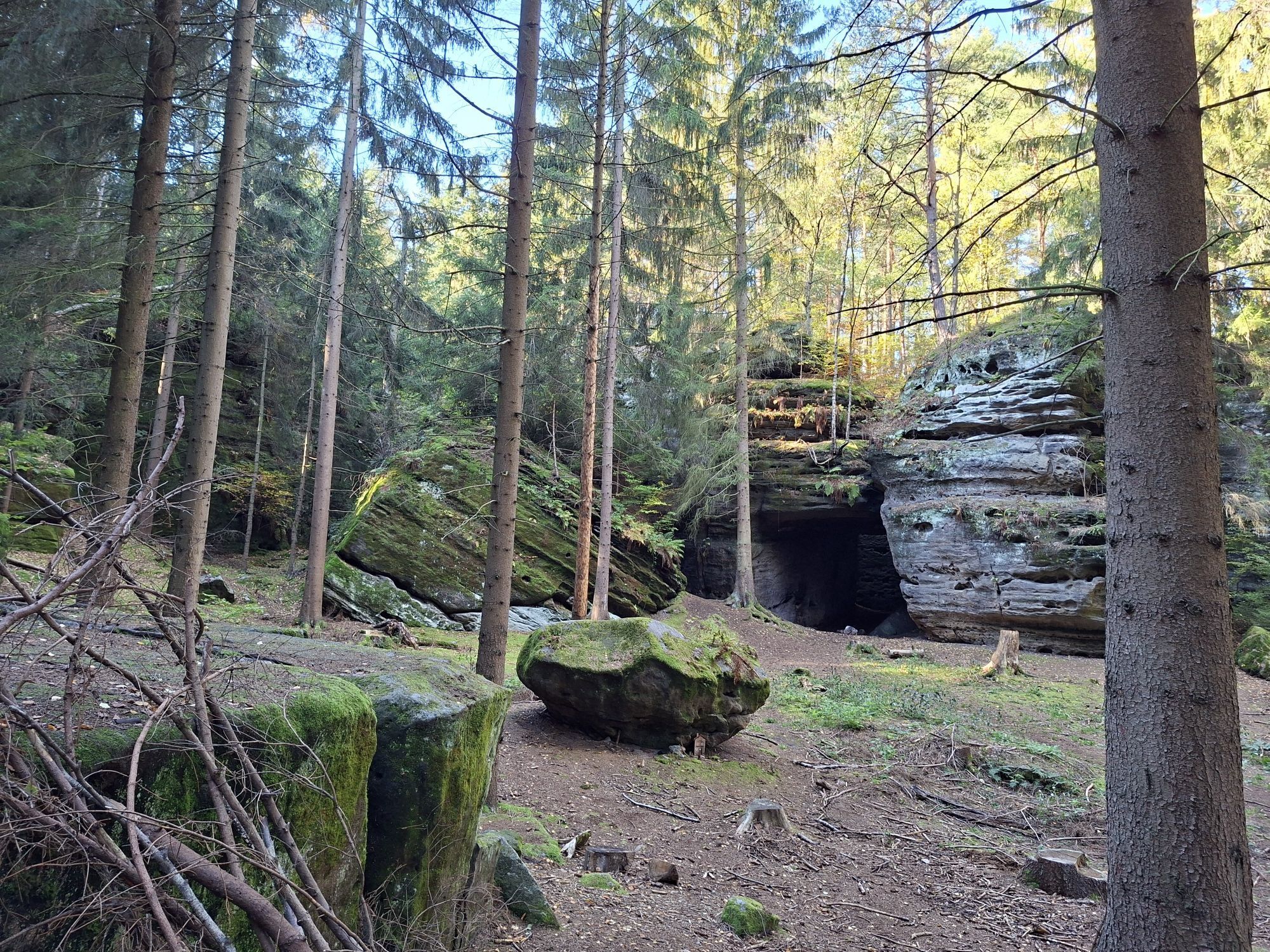
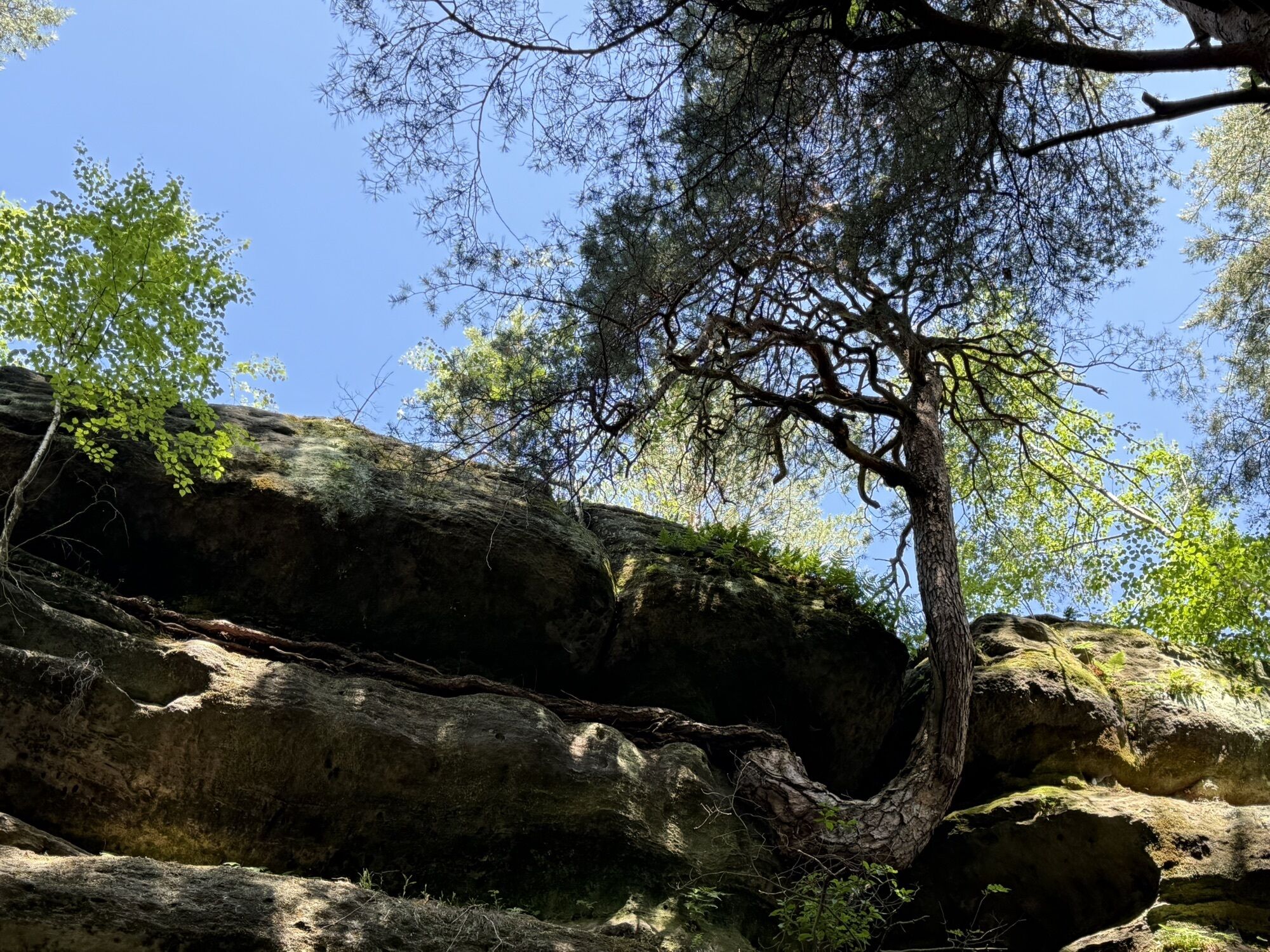
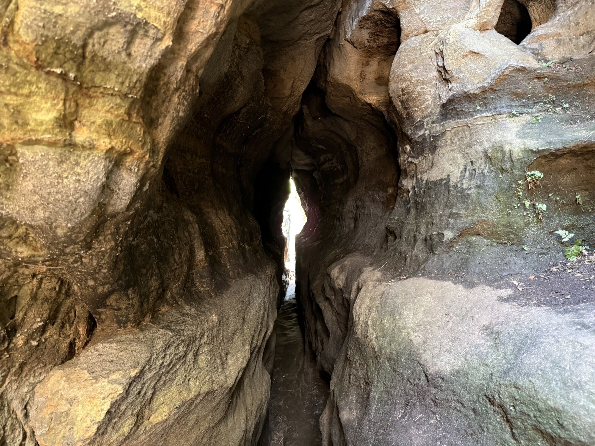
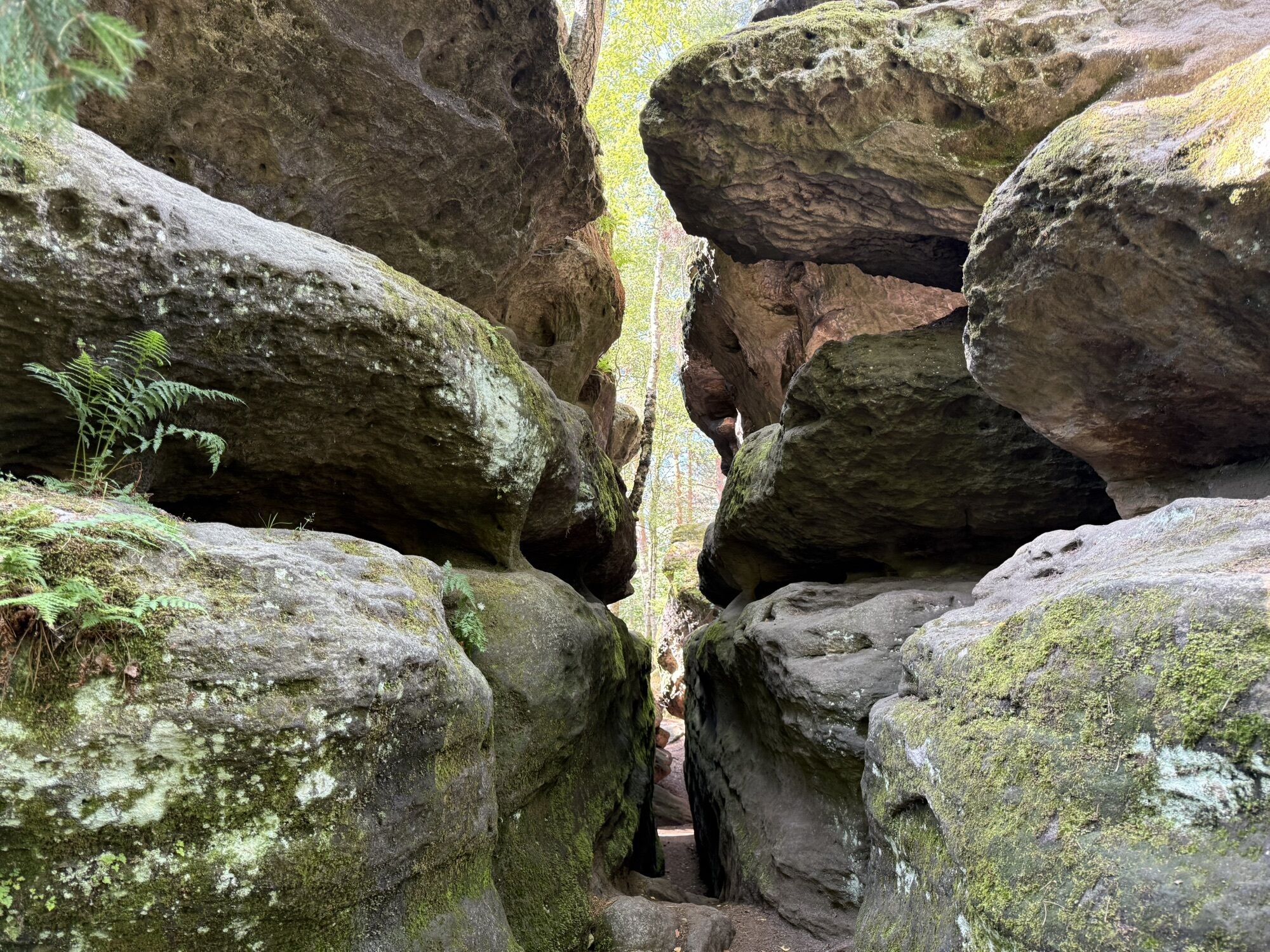
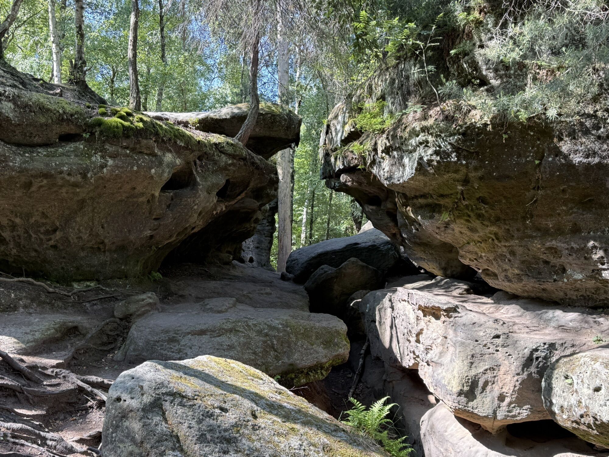
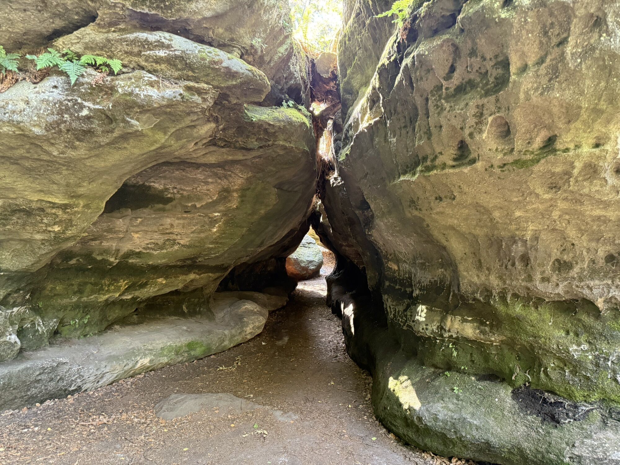
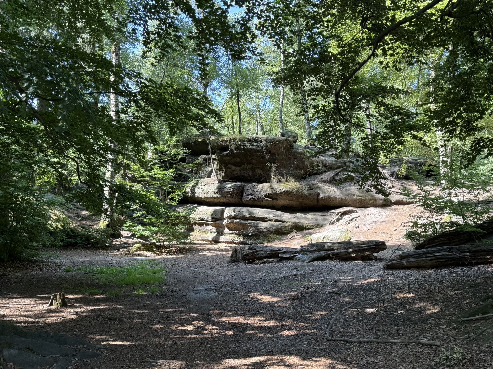
From this rock pulpit you have a good distant view of the Osterzgebirge mountains on a clear day. Napoleon probably commanded the advance of his troops to Bohemia from this stone on September 15, 1813. If you search a little bit, you will find not only Napoleon, but also a golden ball! For, it is said, emperors and kings may only be shot at with a silver or golden bullet. Whoever finds the bullet should touch it delicately, because it is said to bring good luck - after all, it also spared Napoleon. Continue along the cliff edge comfortably. After crossing the road, keep to the right and follow the signs to the labyrinth from the parking lot. If you like, you can squeeze through narrow crevices, caves and holes here - which especially children master with pleasure. The further tour leads through the rock scenery of various well-known film productions (e.g. Hänsel & Gretel: Witch Hunters, Cloudatlas, The Cold Heart, etc.).
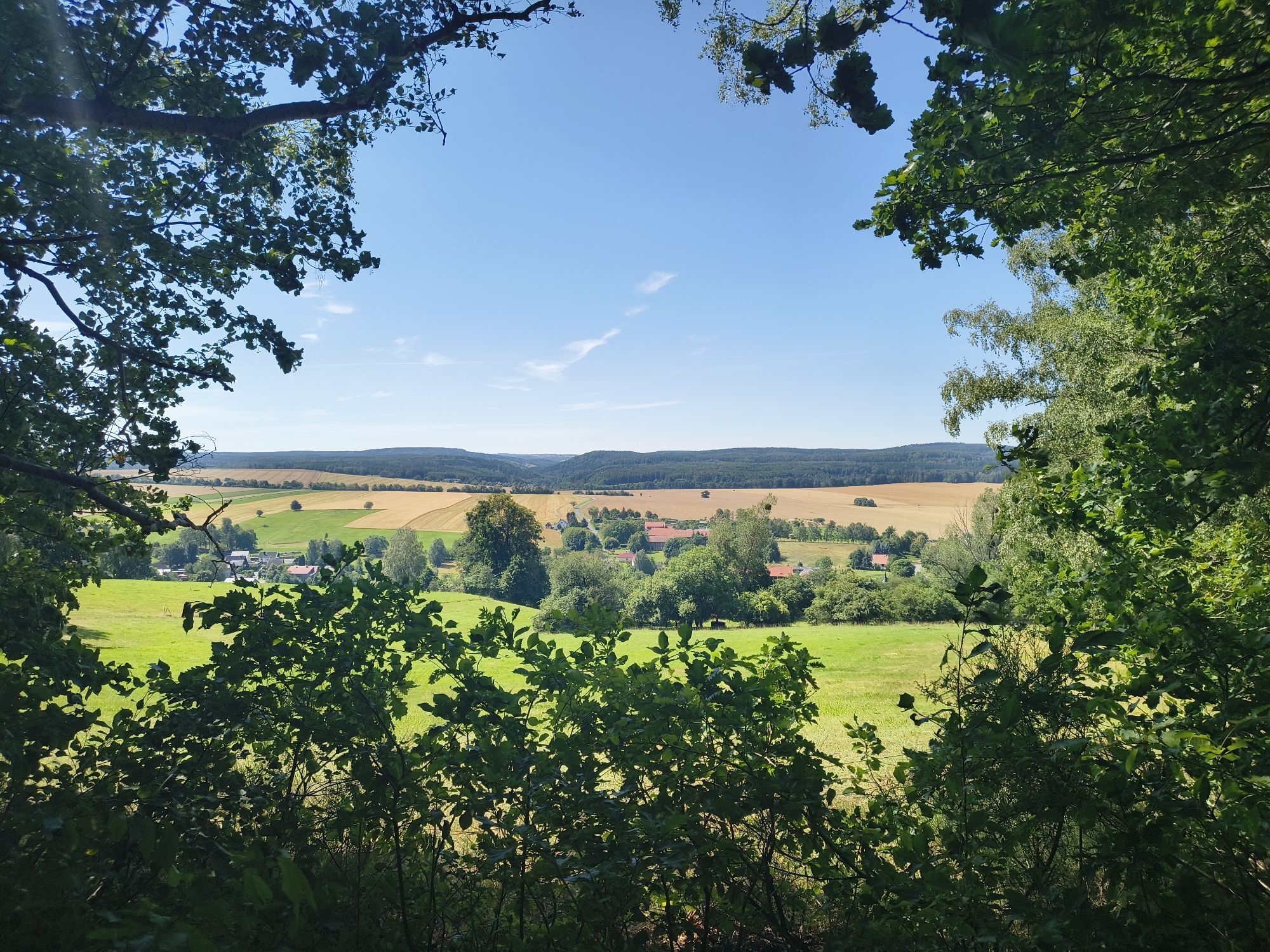
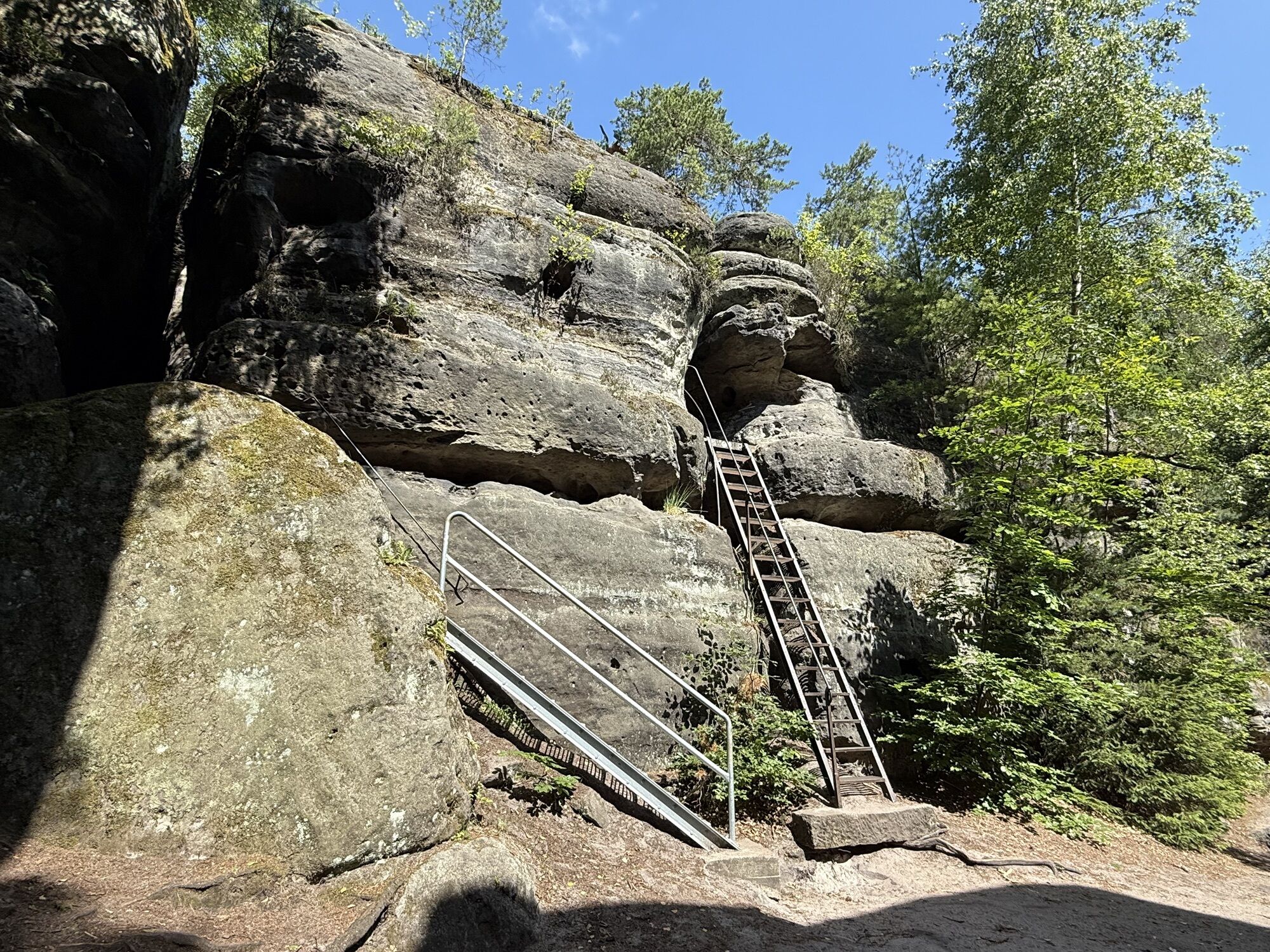
Soon you reach a panoramic view and walk from there to the Nikolsdorf Forest Adventure Center. Barefoot snail, low rope course, swing, touch boxes and much more can be tried here. The place is also suitable for a snack break. The tour continues with a short climb up the Stelzchen. A lookout rock with a view of the village of Nikolsdorf.
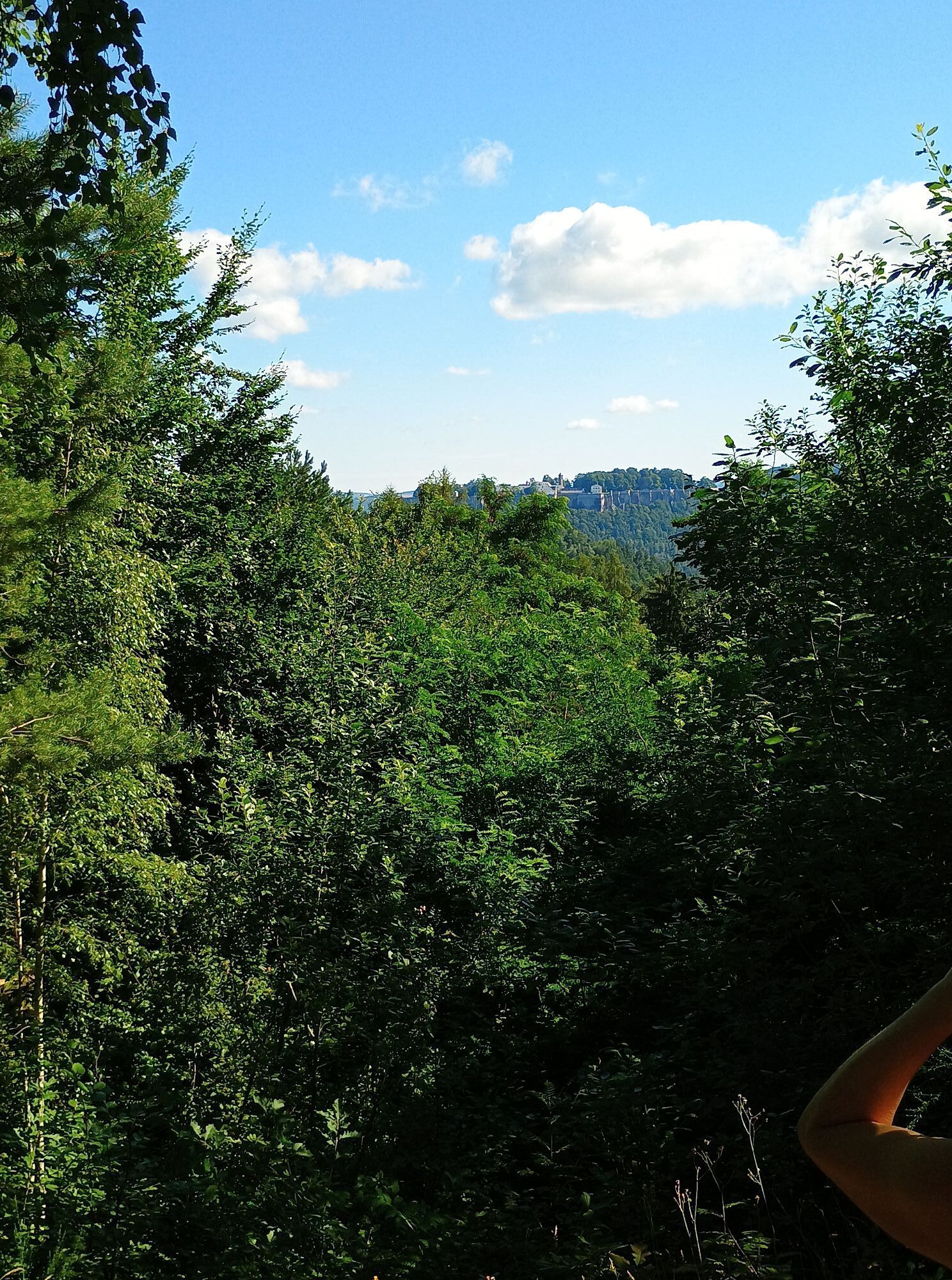
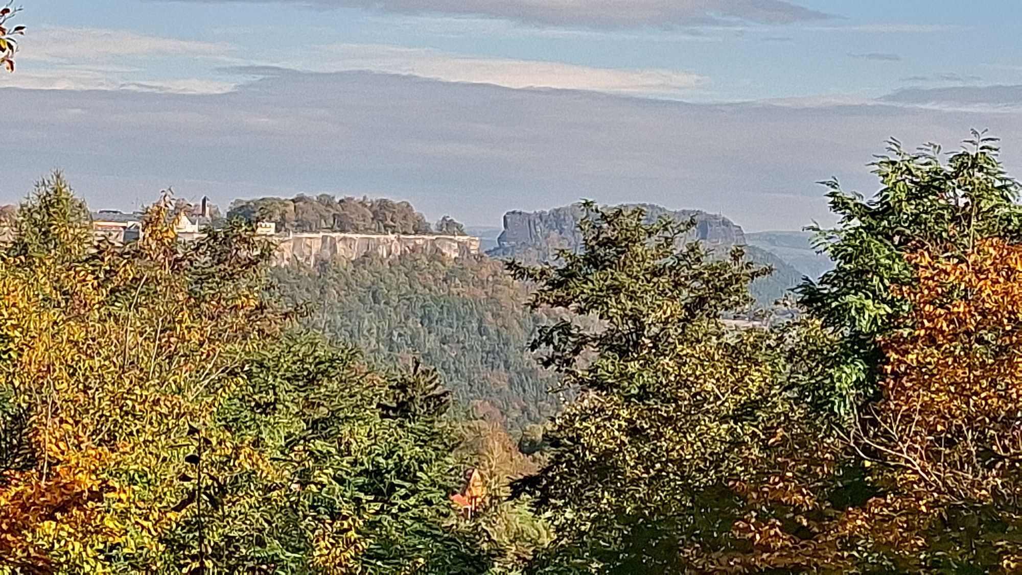
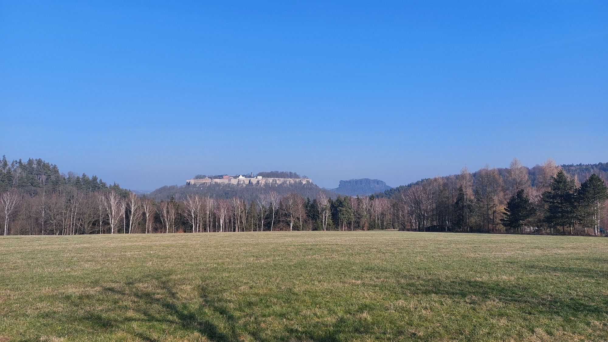
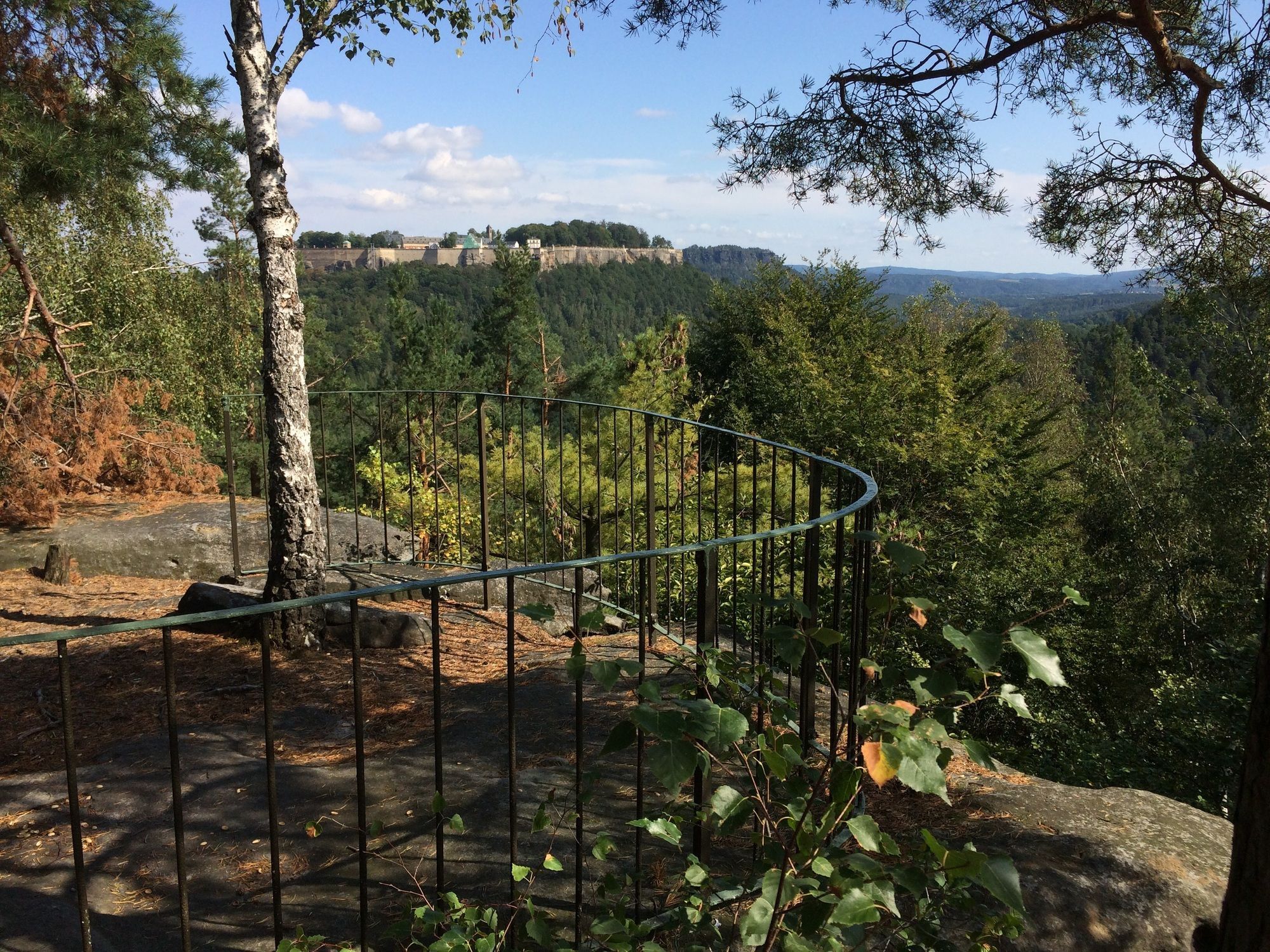
The tour then leads across fields along the Lantzschweg. Wonderful panoramic views into the wide landscape and to the fortress Königstein can be enjoyed here without effort and altitude difference. Over the Hirschstange it goes downhill and after crossing the road uphill again. Steps lead up to the last vantage point of the round - the Spanghorn. From up here, follow the blue dot over the Kiefernleite into the village of Leupoldishain back to the starting point.
*Shortcut possible from here via the yellow line back to the parking lot / bus stop.
GPS DATA updated 2022
Order here: Dr.-Ing. Rolf Böhm: Nikolsdorfer Wände
Hiking boots recommended, Take food with you, as there is no stopover
Parents with lively children should be careful, as a path leads along a cliff edge (no belays); in summer unmarked path quite overgrown
Take the B172 to the traffic circle after Struppen. Turn right to Leupoldishain.
Parking lot Leupoldishain at the village square or at the local natural swimming pool (closed)
Beliebte Touren in der Nähe
- 4,7
Rathen / Hockstein / Bastei / Rathen
mittelWanderung 14,4 km - 4,6
Von Rathewalde zur Bastei
Wanderung 12,8 km - 4,7
Rundwanderung Bastei Schwendenlöcher -Amselsee
leichtWanderung 6,21 km - 4,7
Pfaffenstein Sachsen/Deutschland
mittelWanderung 3,89 km - 5,0
Basteibrücke
leichtWanderung 2,31 km - 4,9
entlang der Schrammsteine, Breite Kluft, Affenwand
mittelWanderung 11,6 km - 5,0
Lilienstein
leichtWanderung 3,75 km - 4,4
Kurort Rathen: Große Bastei-Runde
mittelWinterwandern 4,75 km - 4,8
Bad Schandau, Schrammsteinrunde
mittelWanderung 11,0 km - 4,6
Caspar-David-Friedrich-Weg
mittelWanderung 15,1 km
Wandern & Tracking


Verpasse keine Angebote und Inspirationen für deinen nächsten Urlaub
Deine E-Mail-Adresse wurde in den Verteiler eingetragen.





