
Passo Tre Croci - Lago di Sorapiss
schwer
Hol diese Tour auf dein Handy
Passo Tre Croci - Lago di Sorapiss
schwer
Wanderung
7,73
km
QR-Code scannen und Navigation in der bergfex App beginnen


Wandern & Tracking



Passo Tre Croci - Lago di Sorapiss
schwer
Distanz
7,73
km
Dauer
03:11
h
Aufstieg
604
hm
Seehöhe
1.776 -
2.294
m

Navigiere deine Tour in der App
Installiere die App kostenlos und behalte die Strecke im Blick, mit GPS-Navigation und Tracking.
Nutze bergfex jetzt in der App
Scanne den QR-Code mit deiner Kamera
Ist die App installiert, öffnet sich der Inhalt direkt. Hast du die App noch nicht, gelangst du zum kostenlosen Download.
Track-Download
Passo Tre Croci - Lago di Sorapiss
schwer
Wanderung
7,73
km
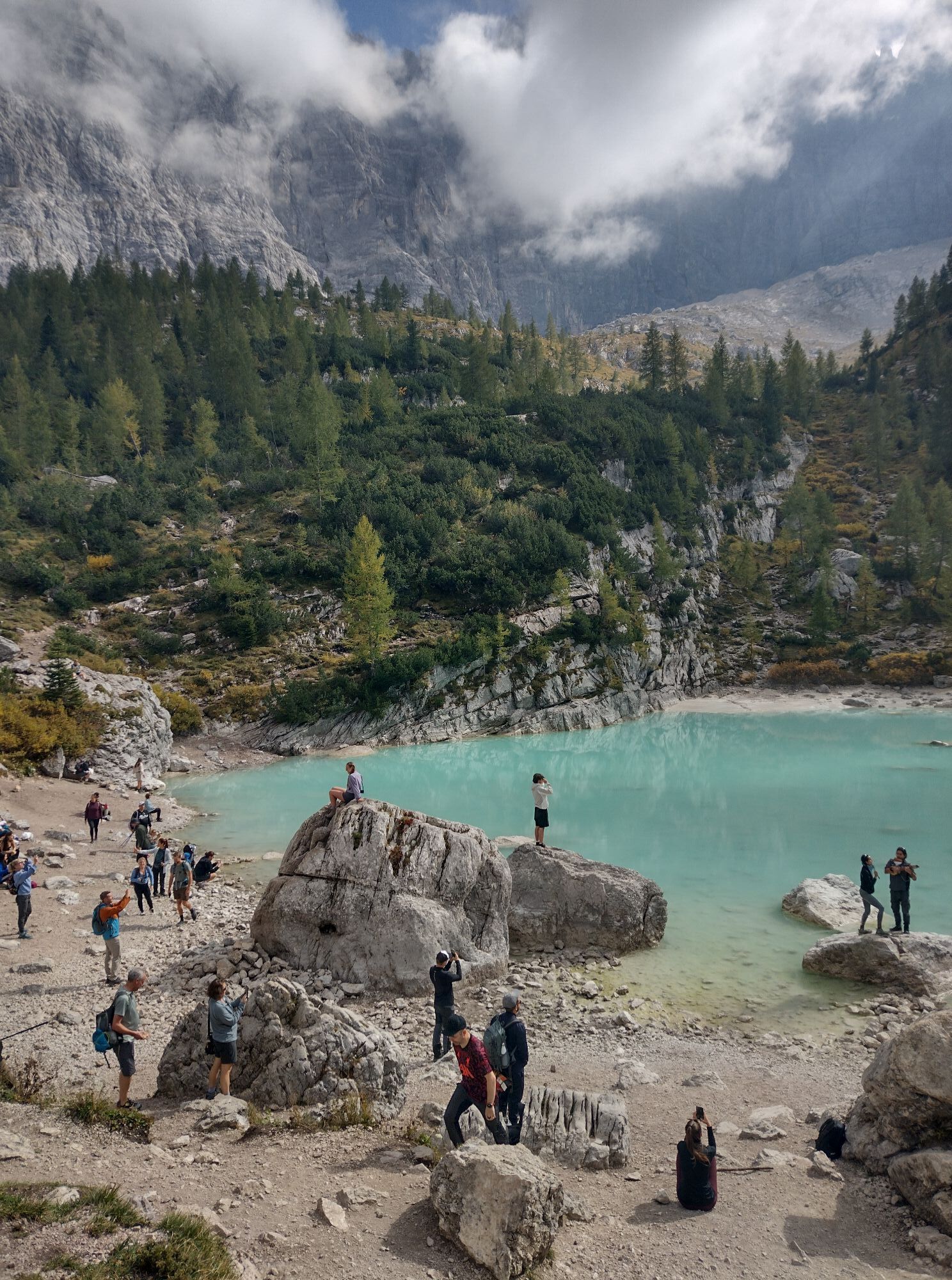
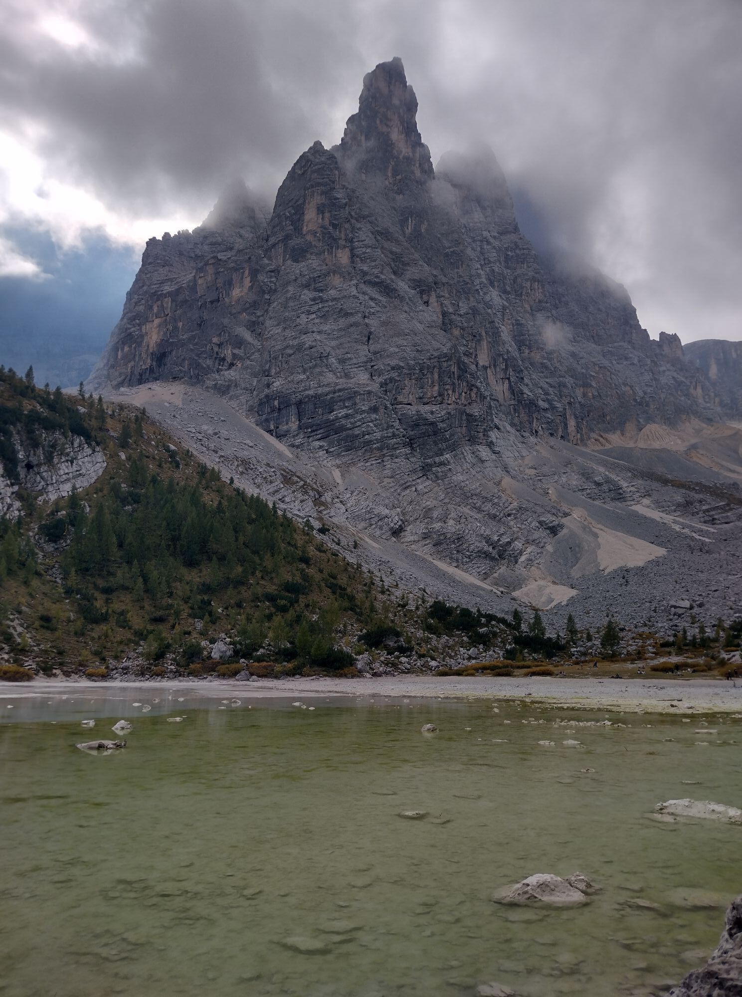
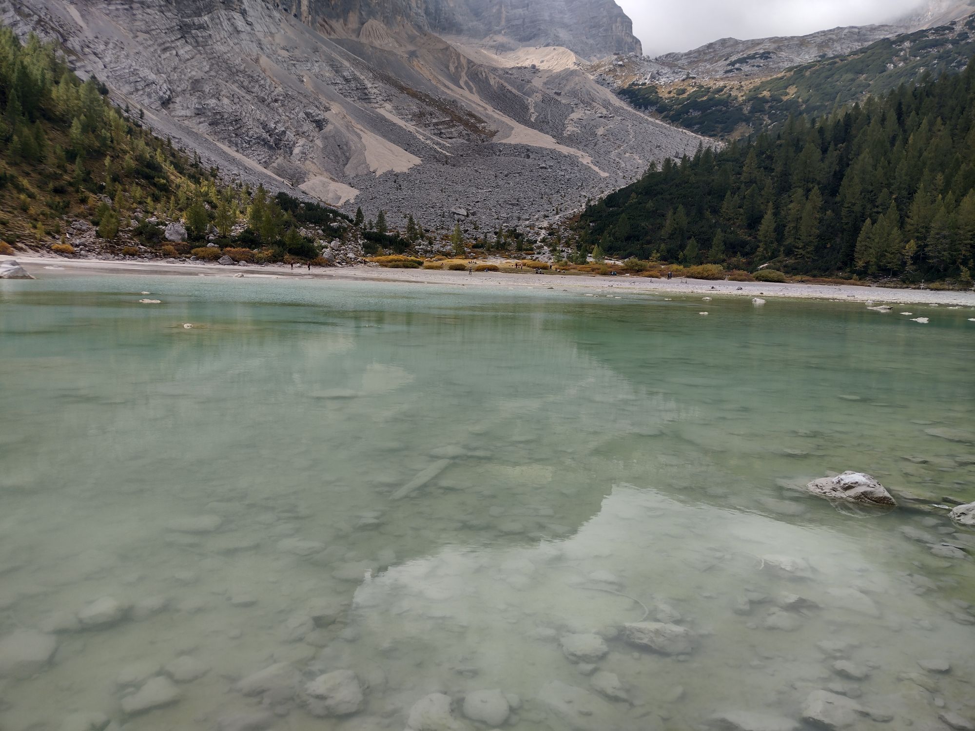
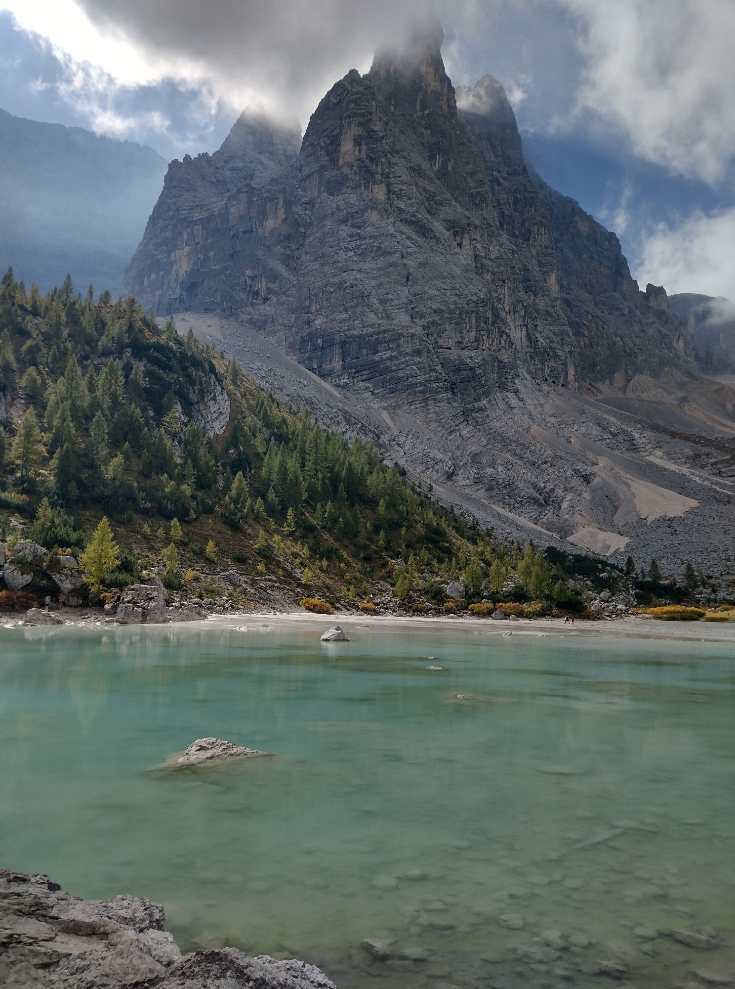
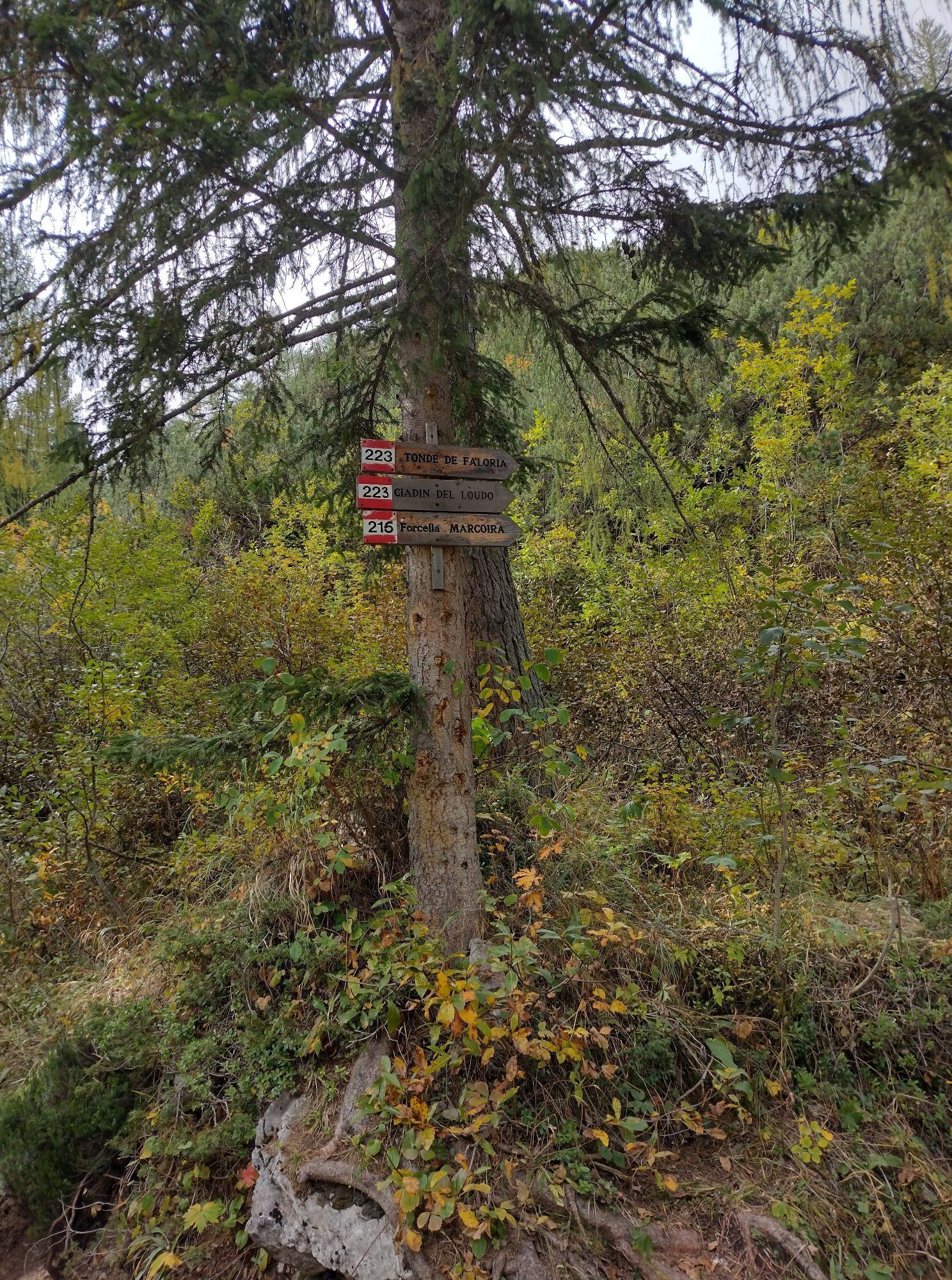
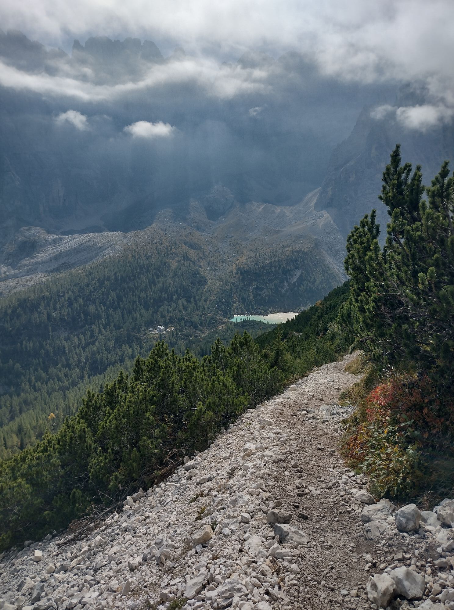
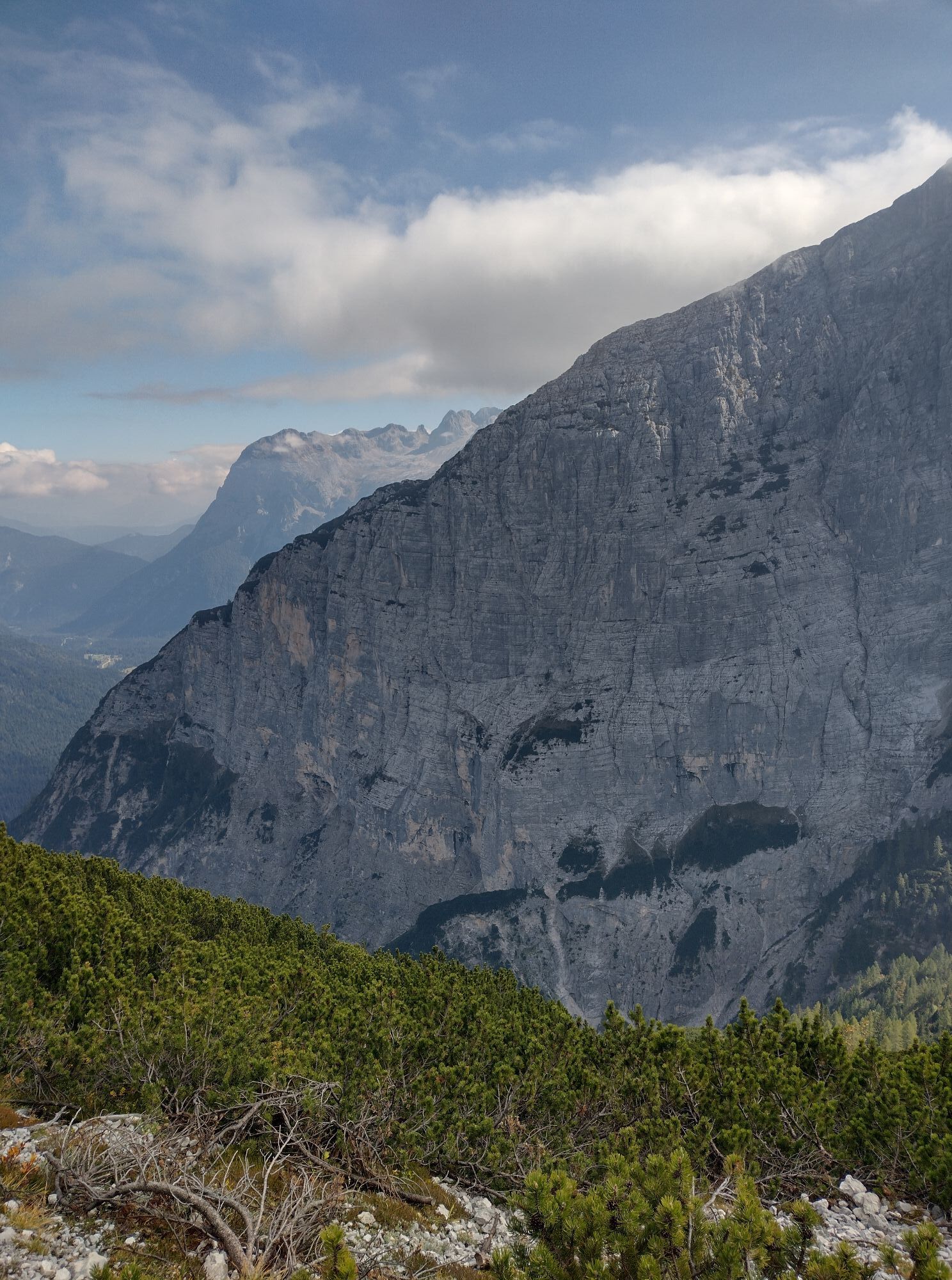
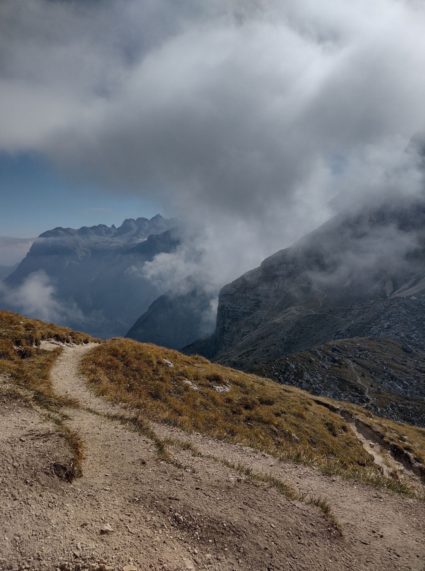
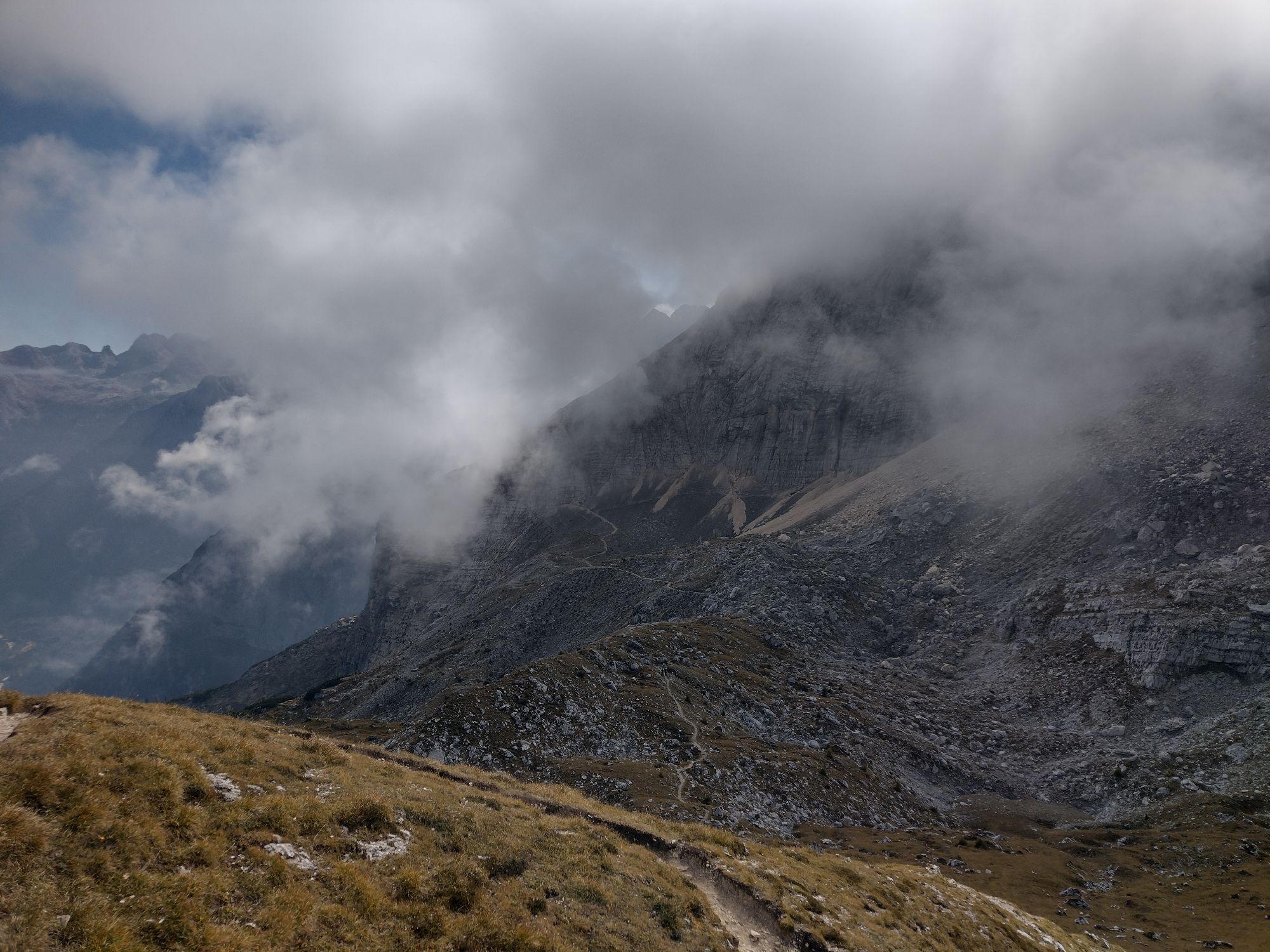
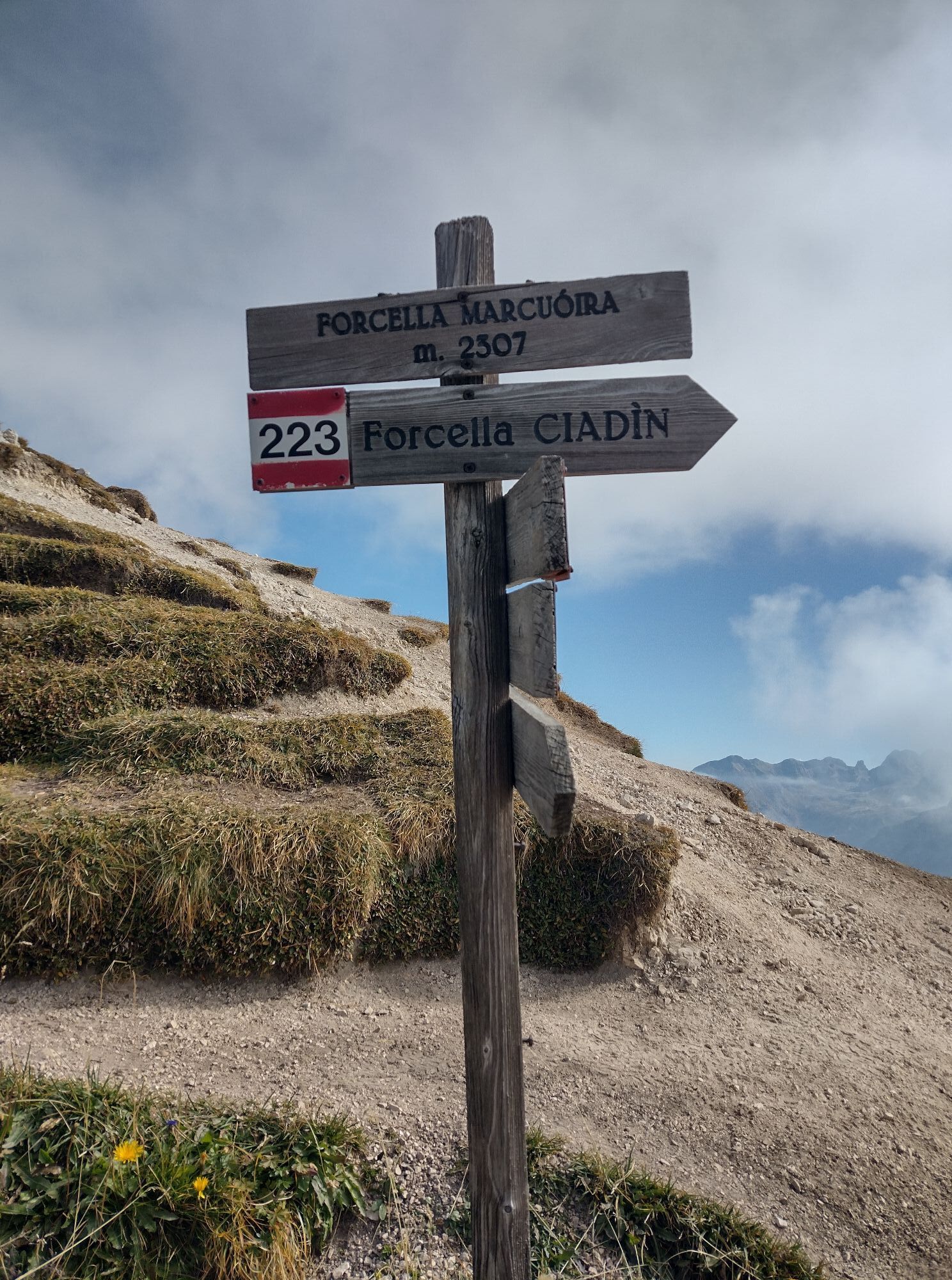
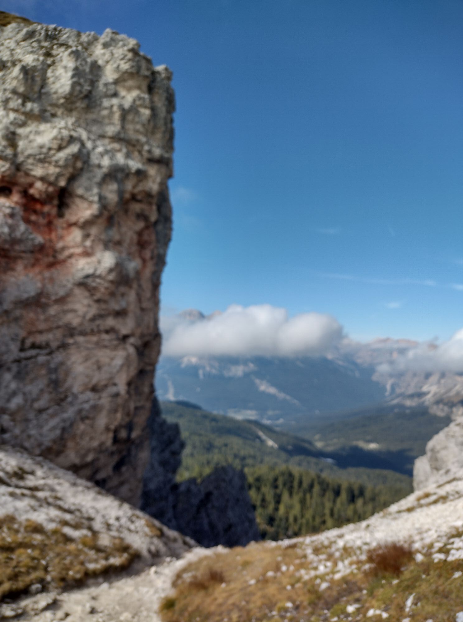
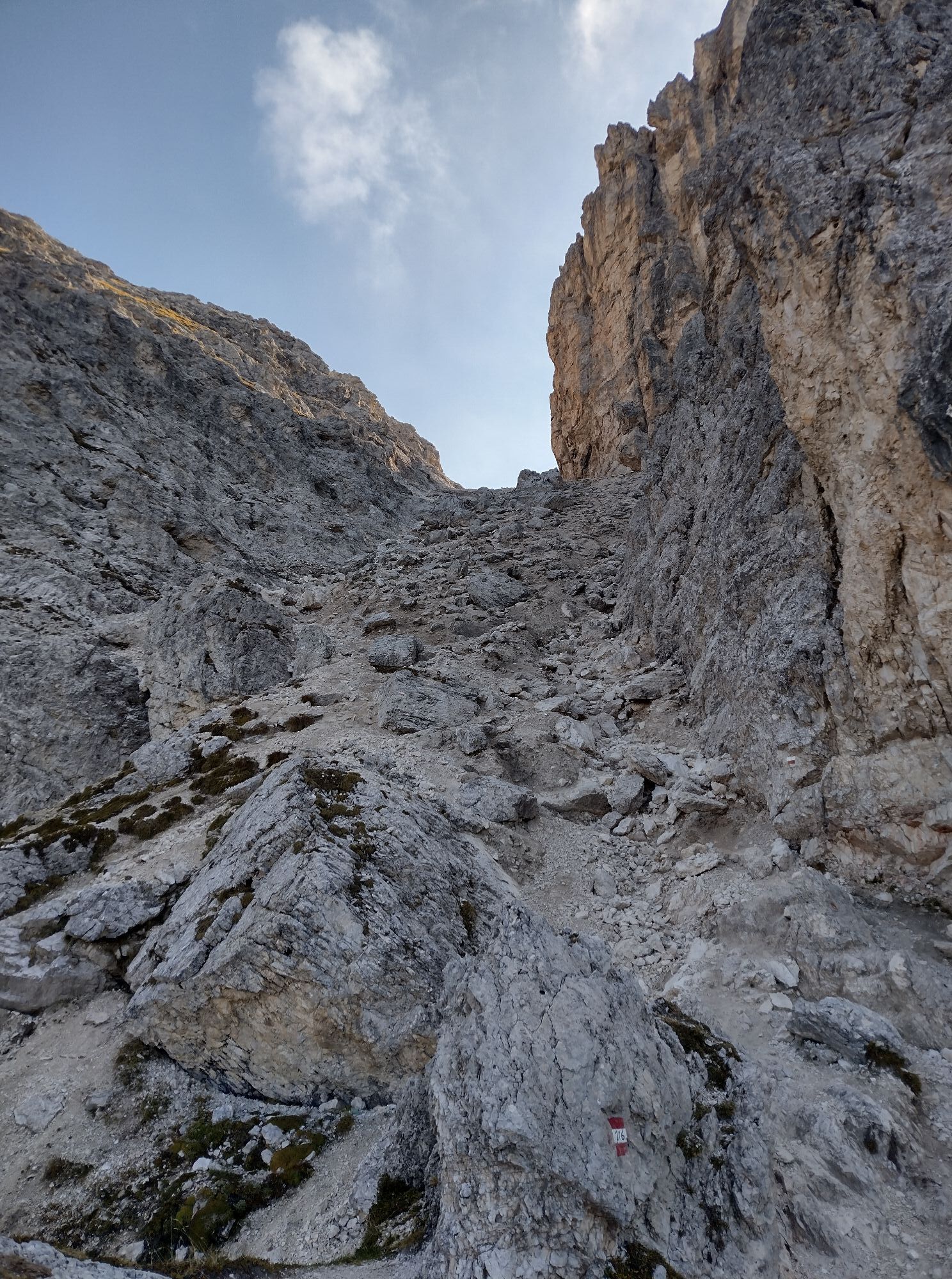
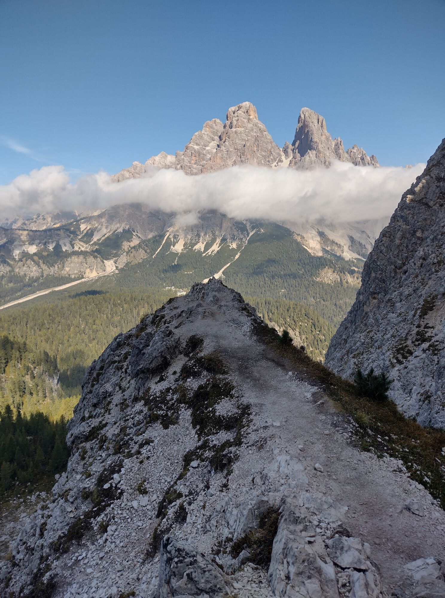
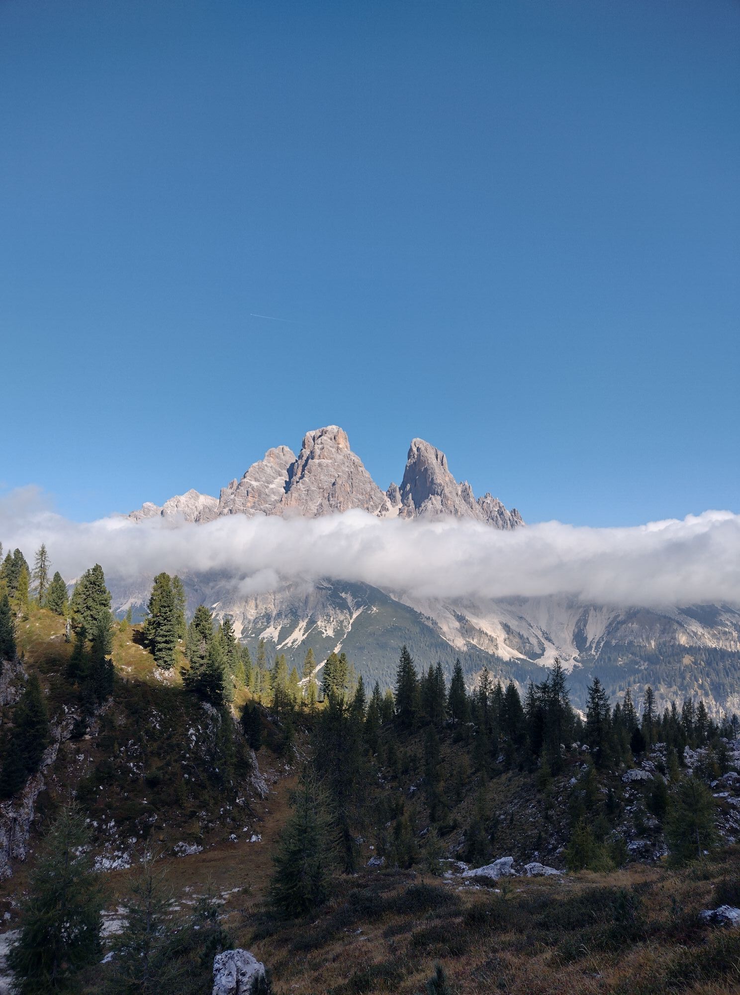
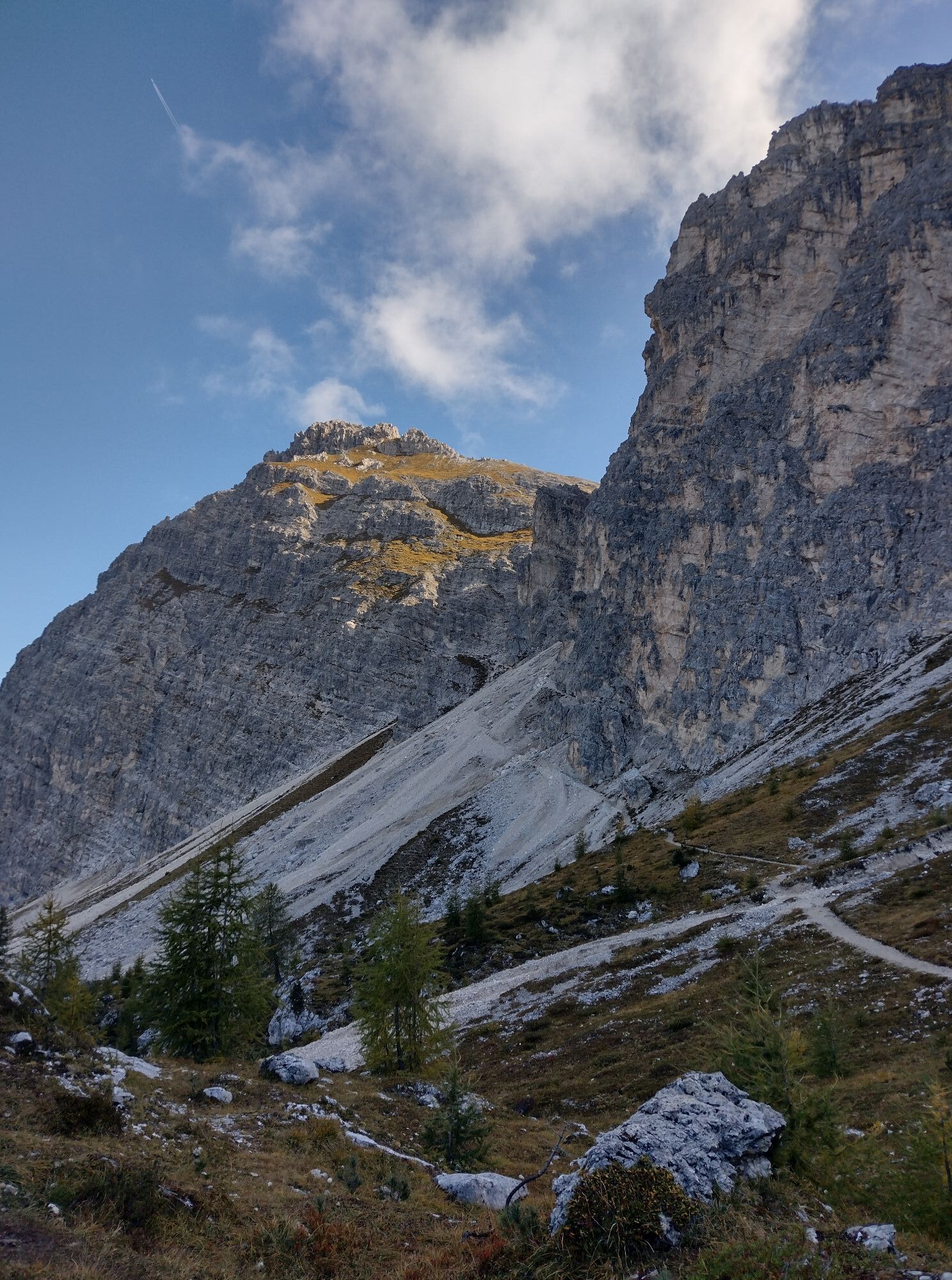
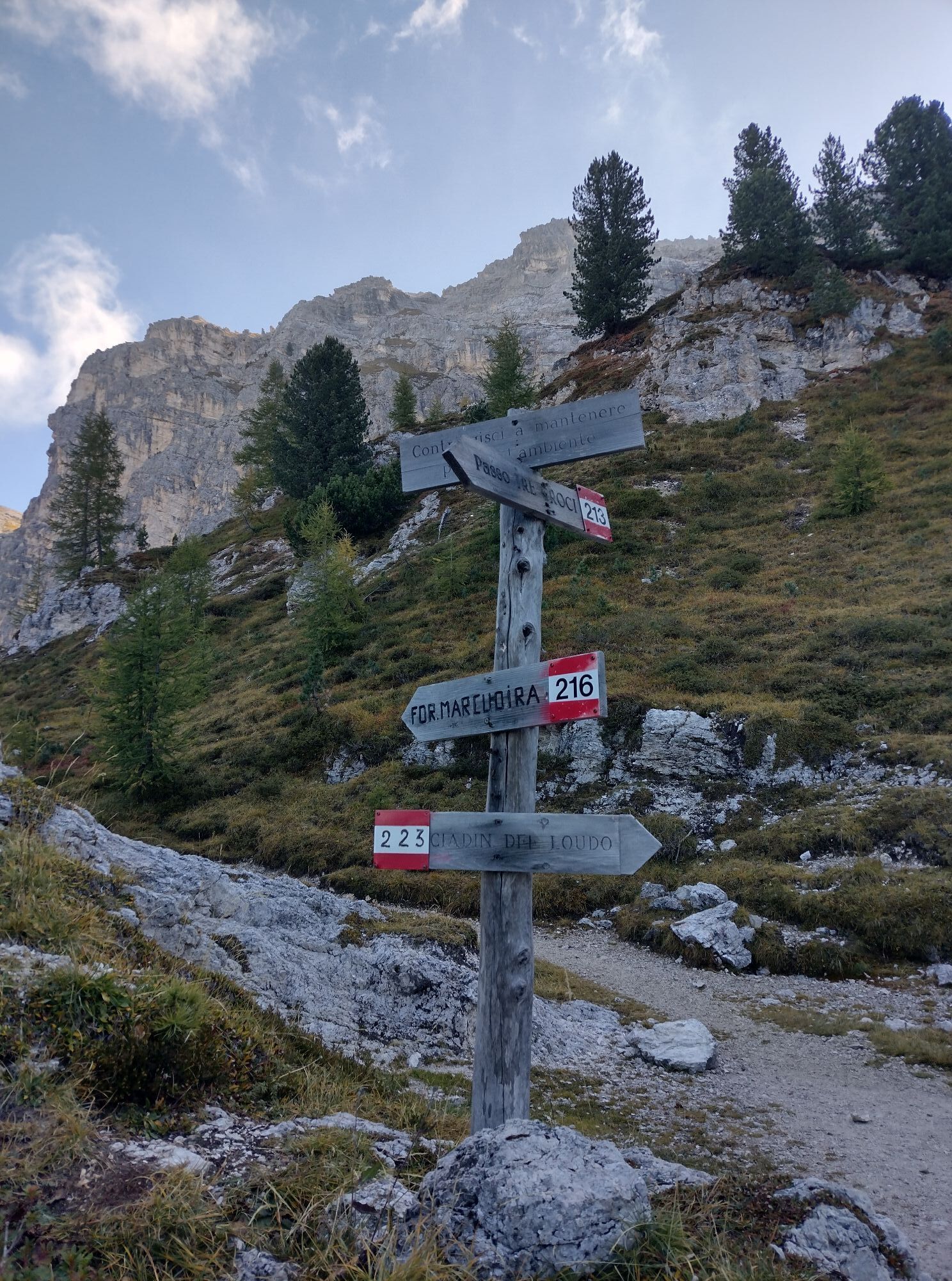
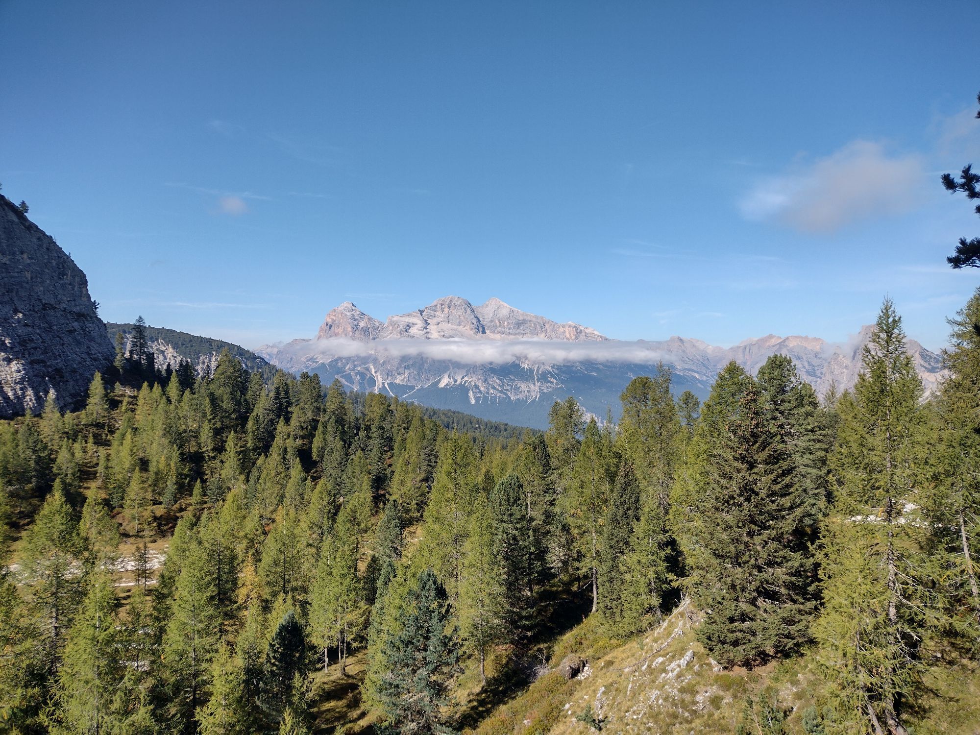
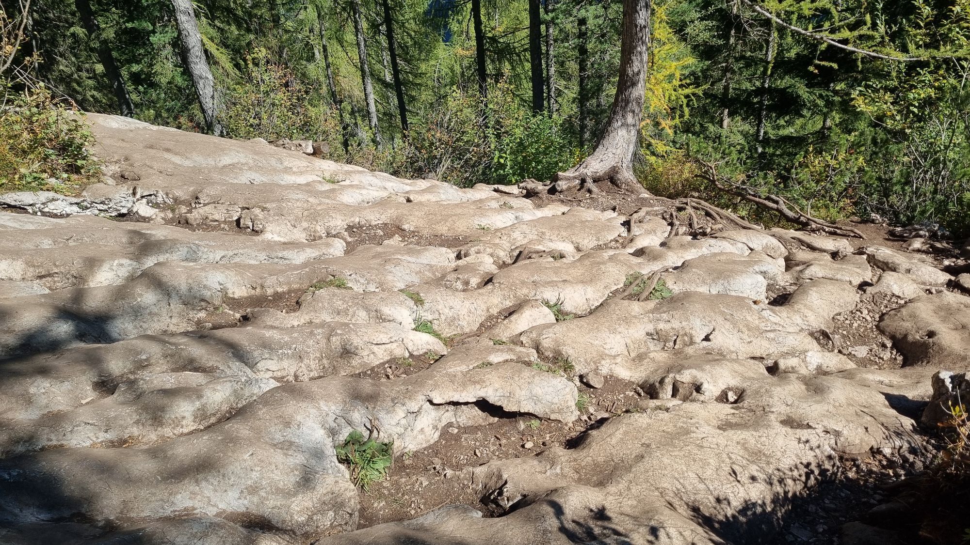
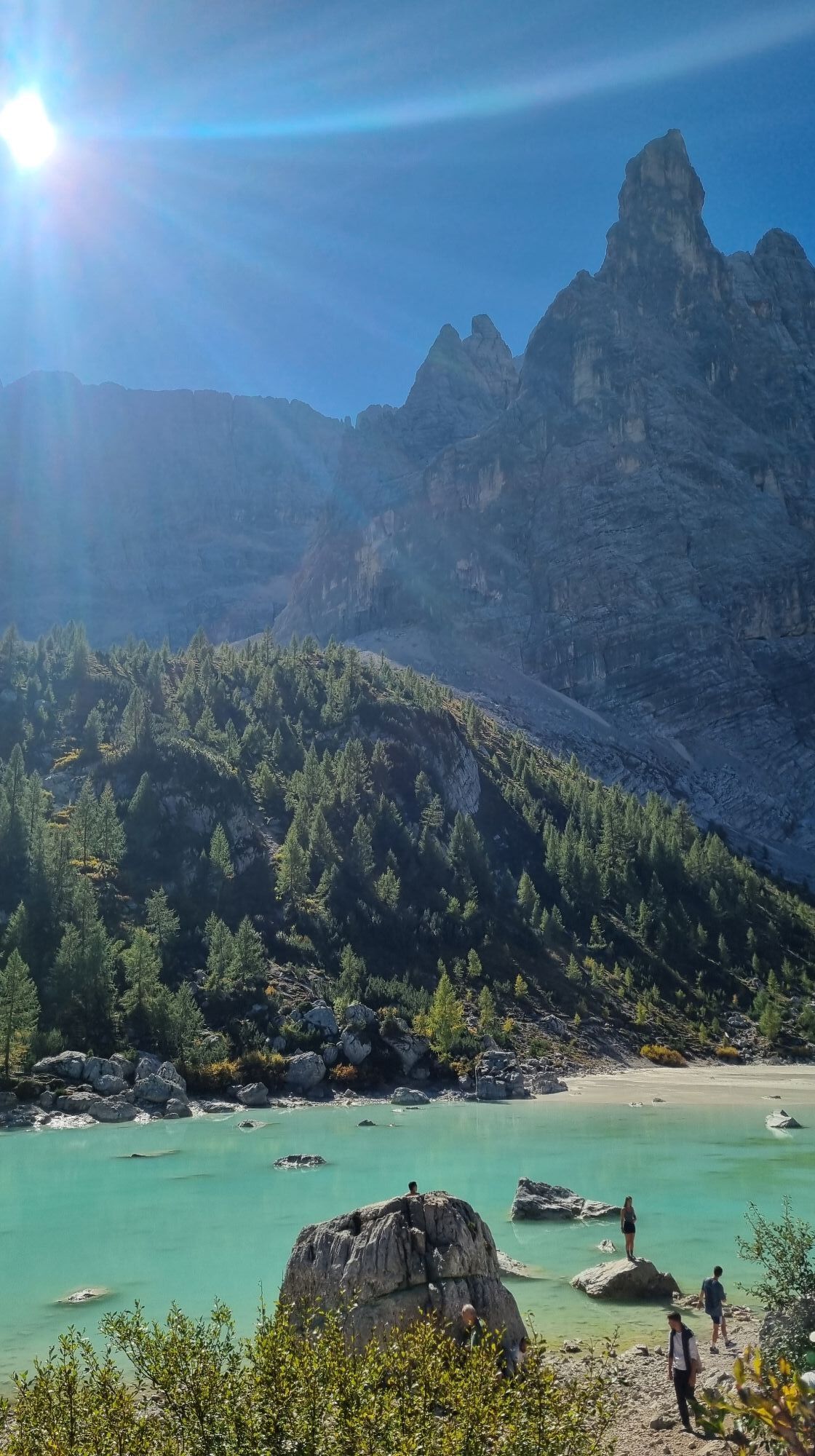
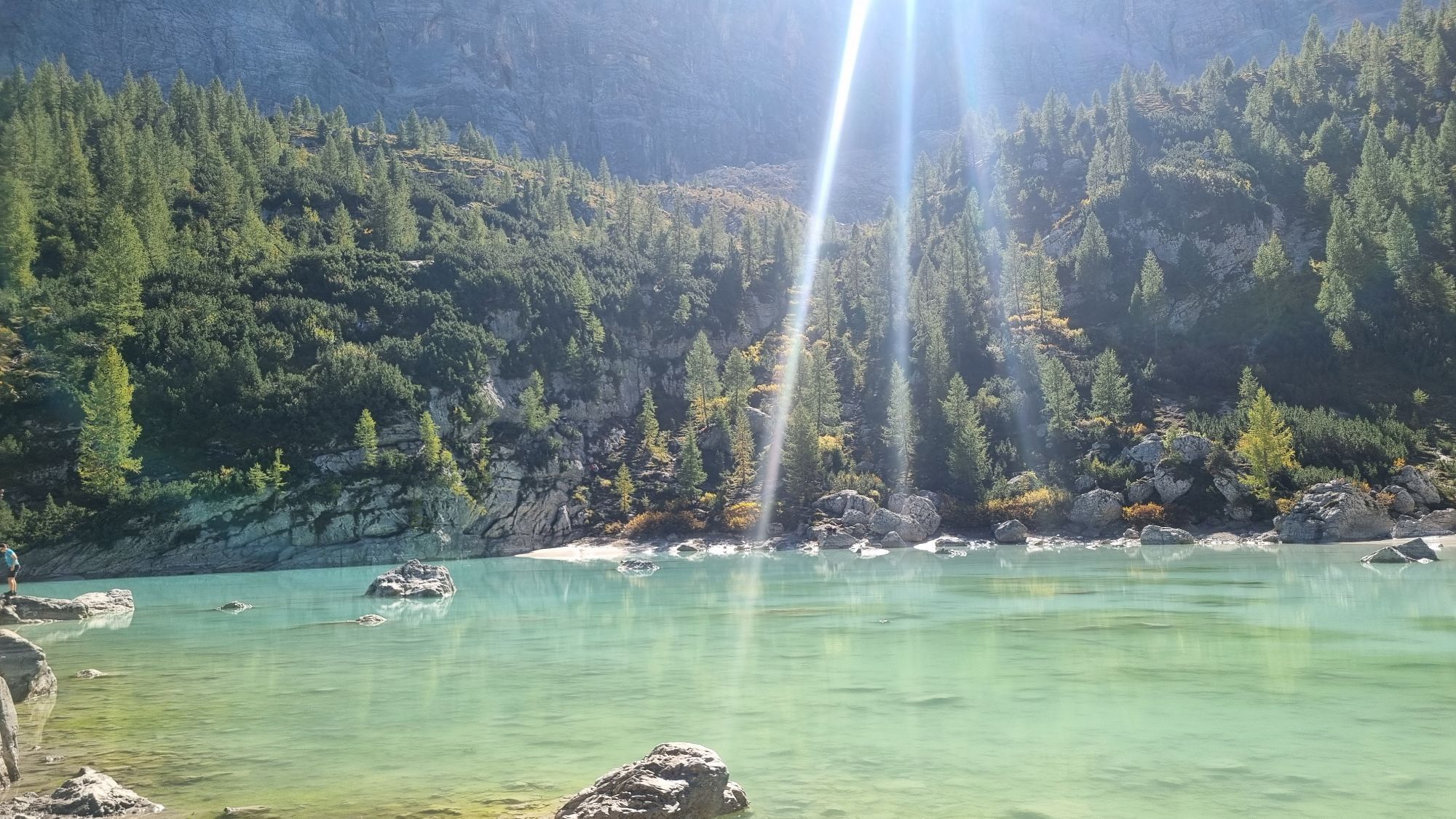
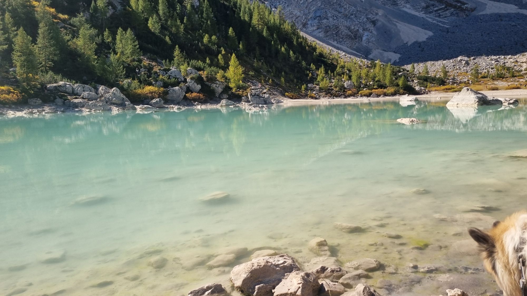
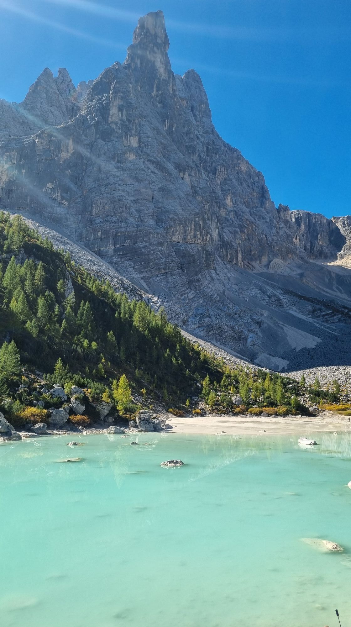
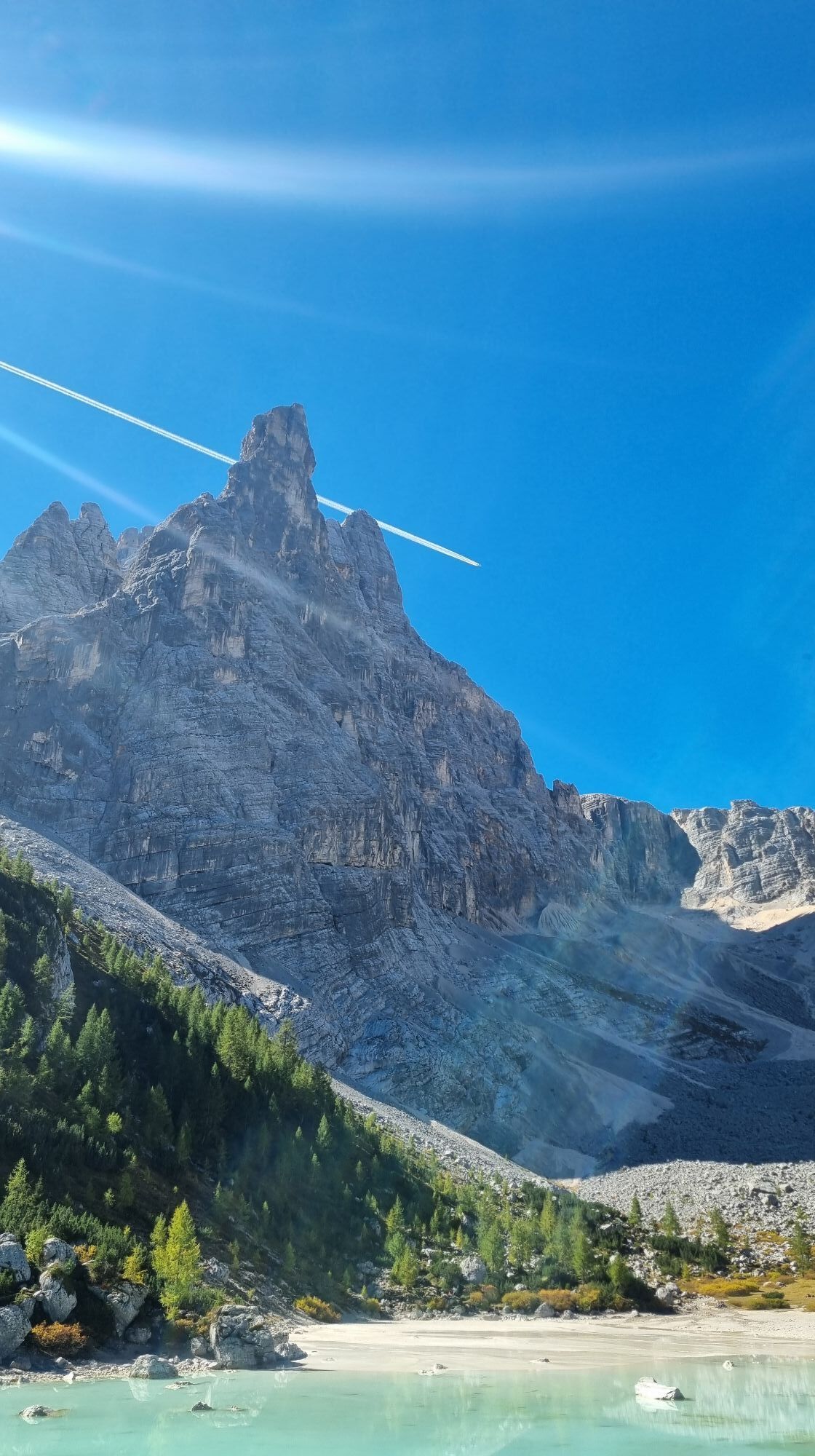
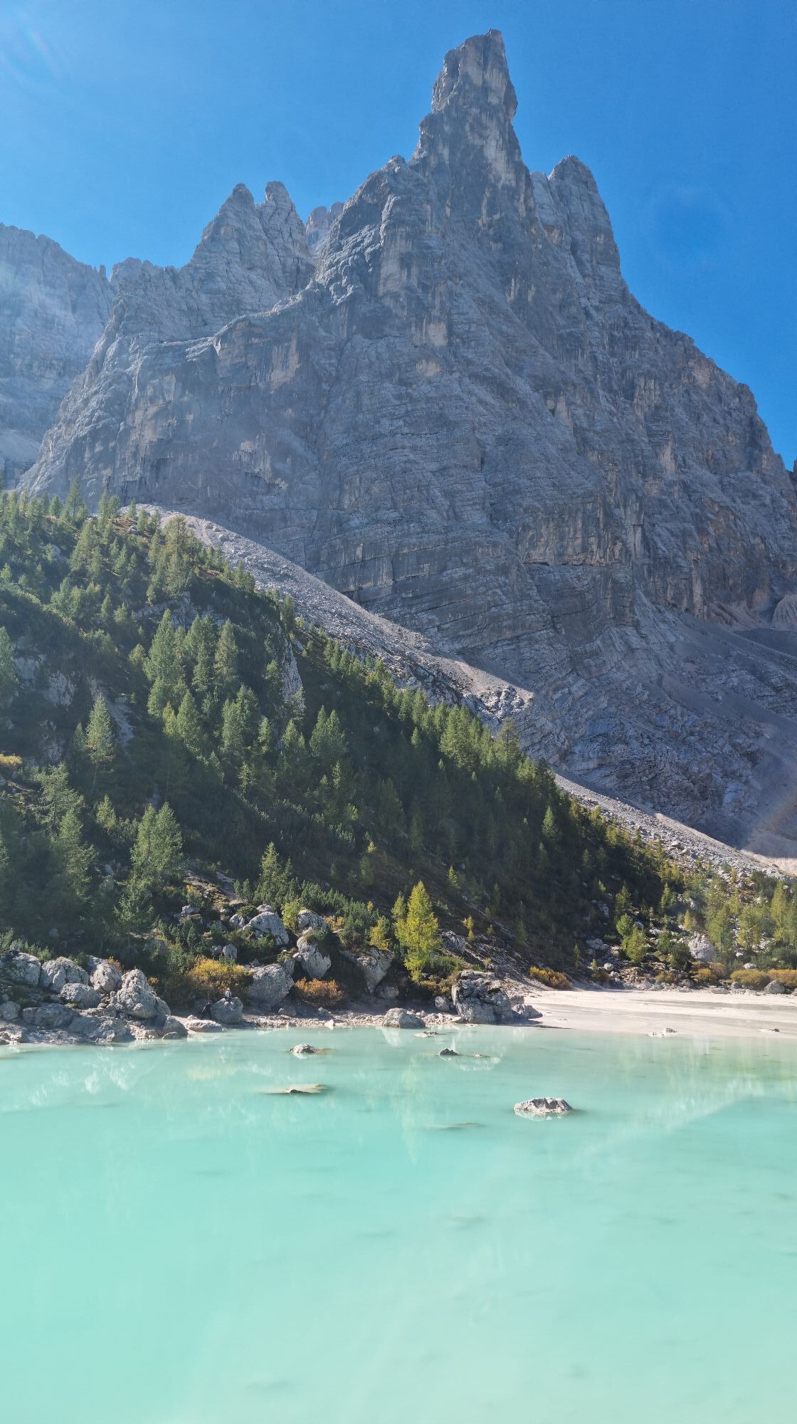
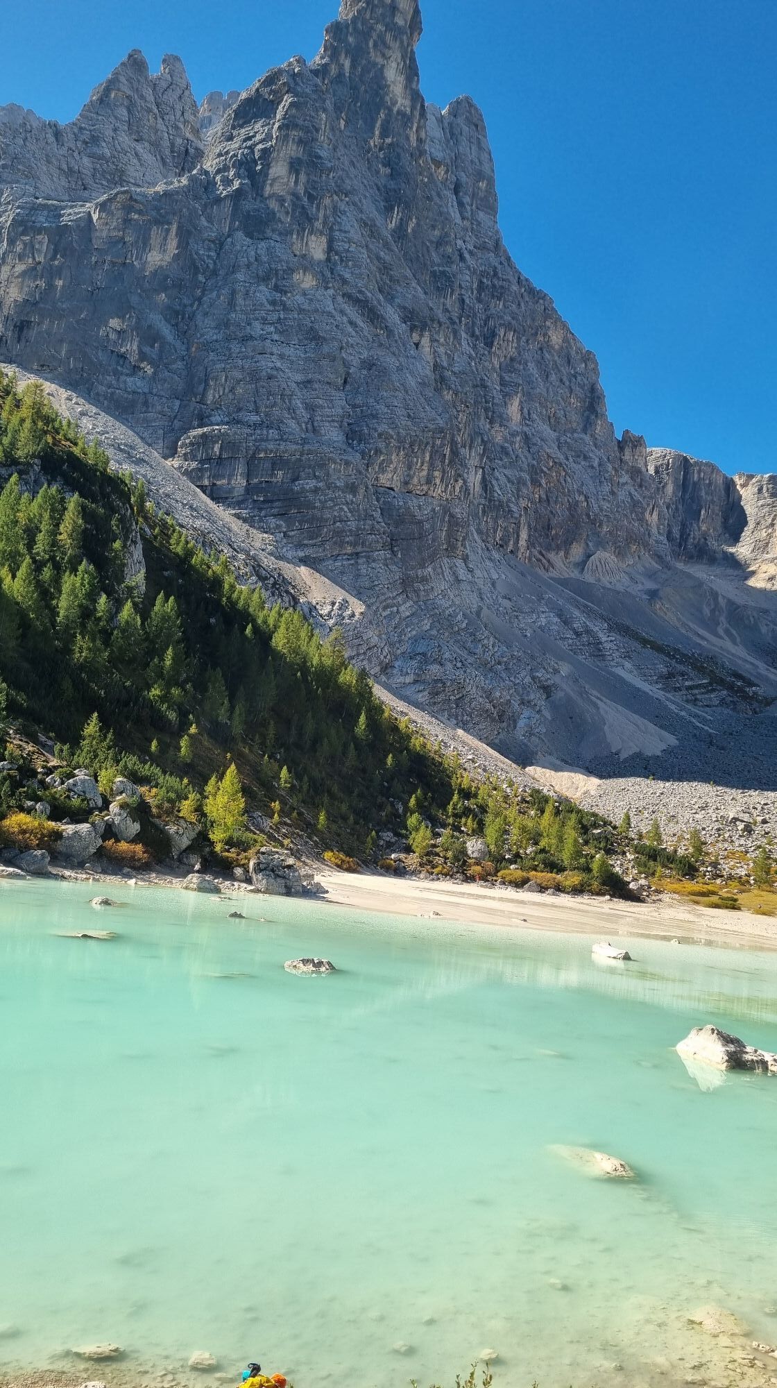
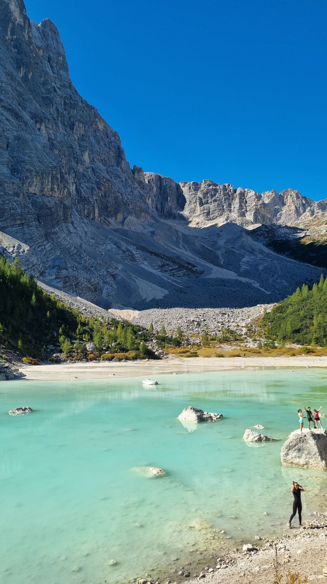
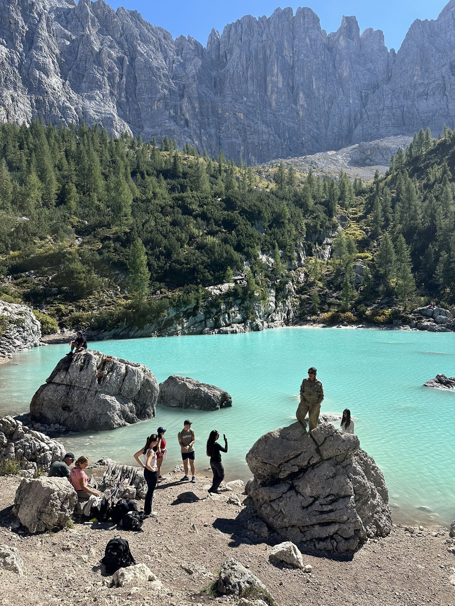
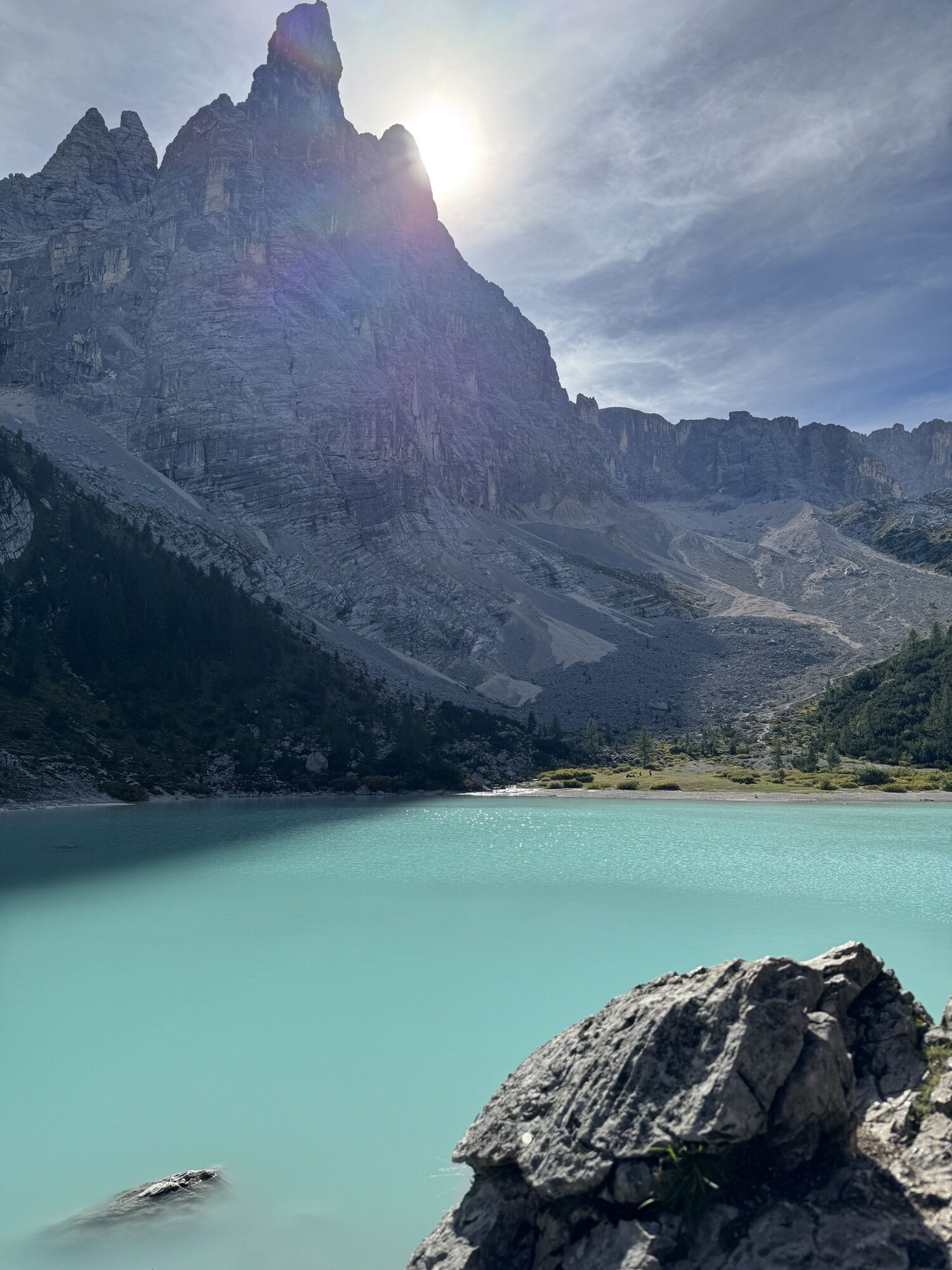
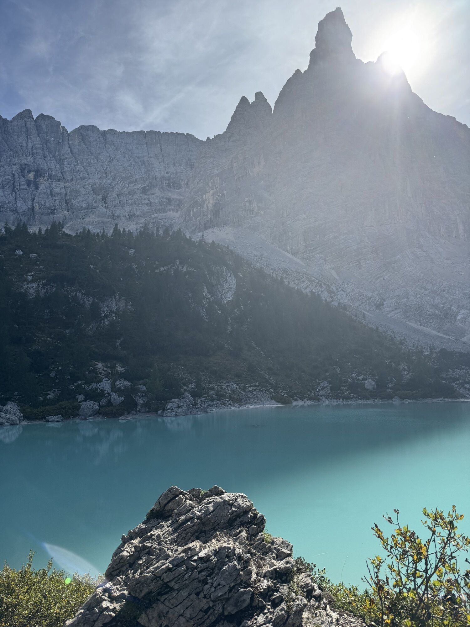
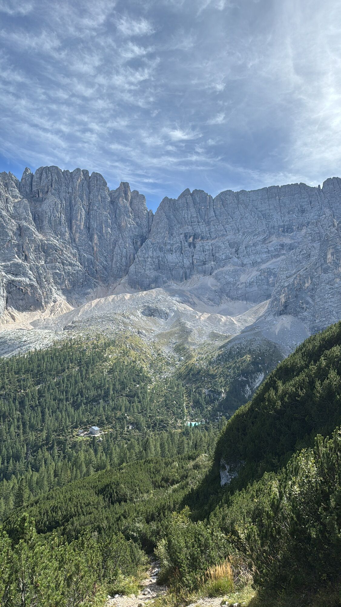
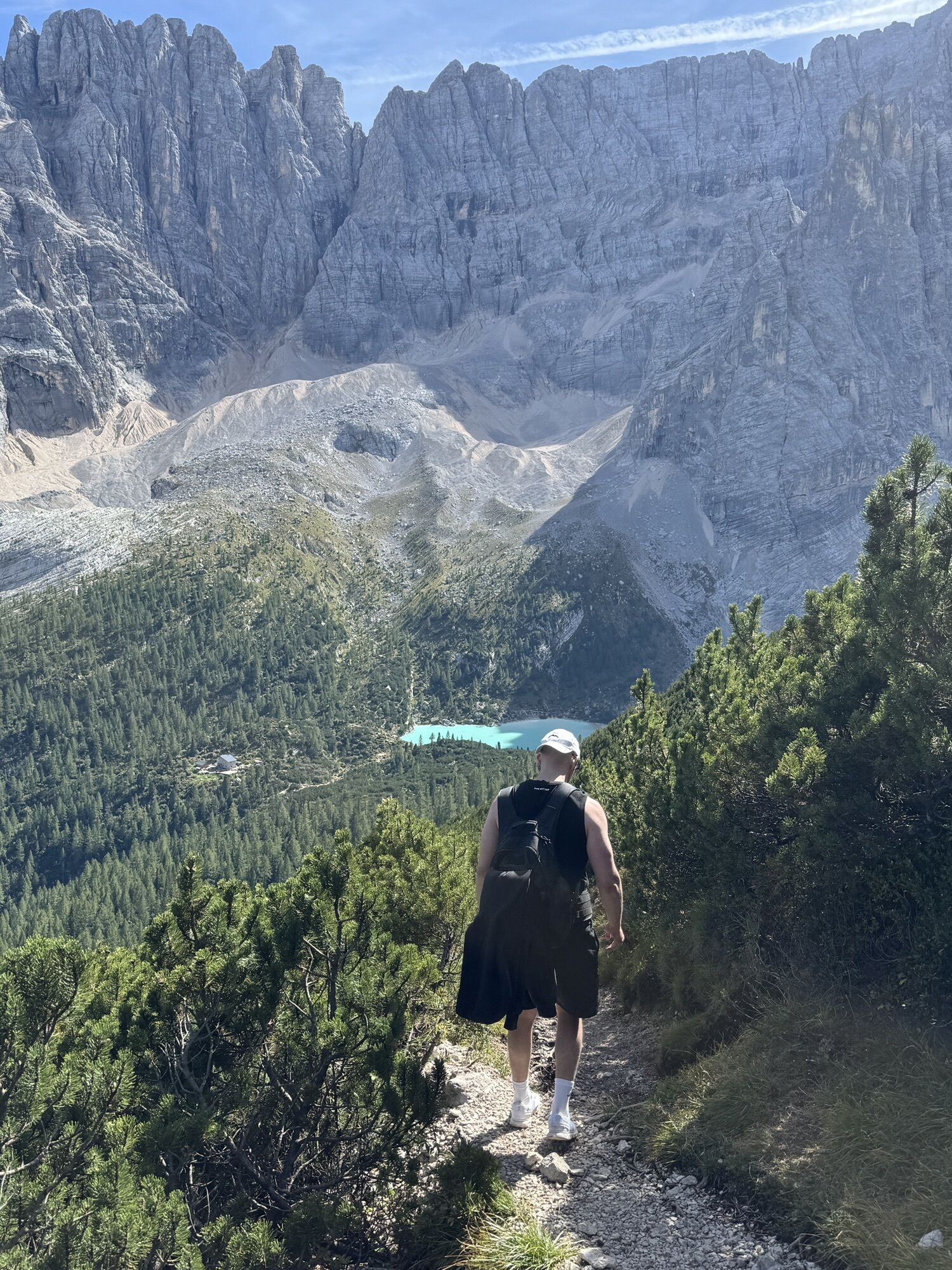
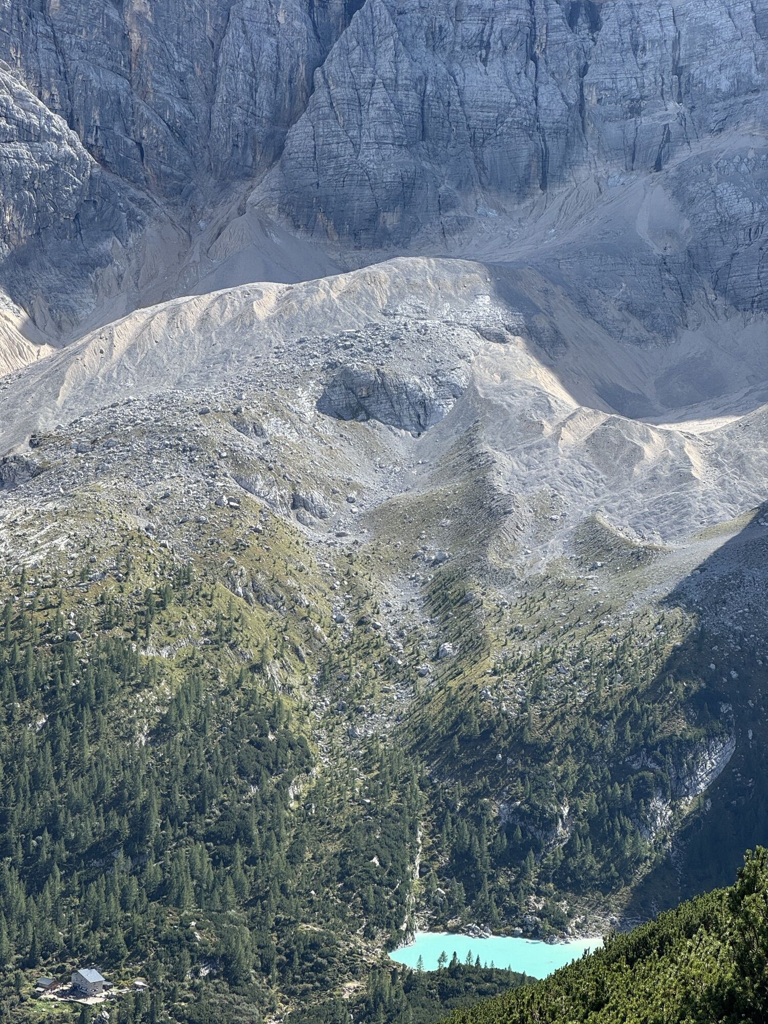
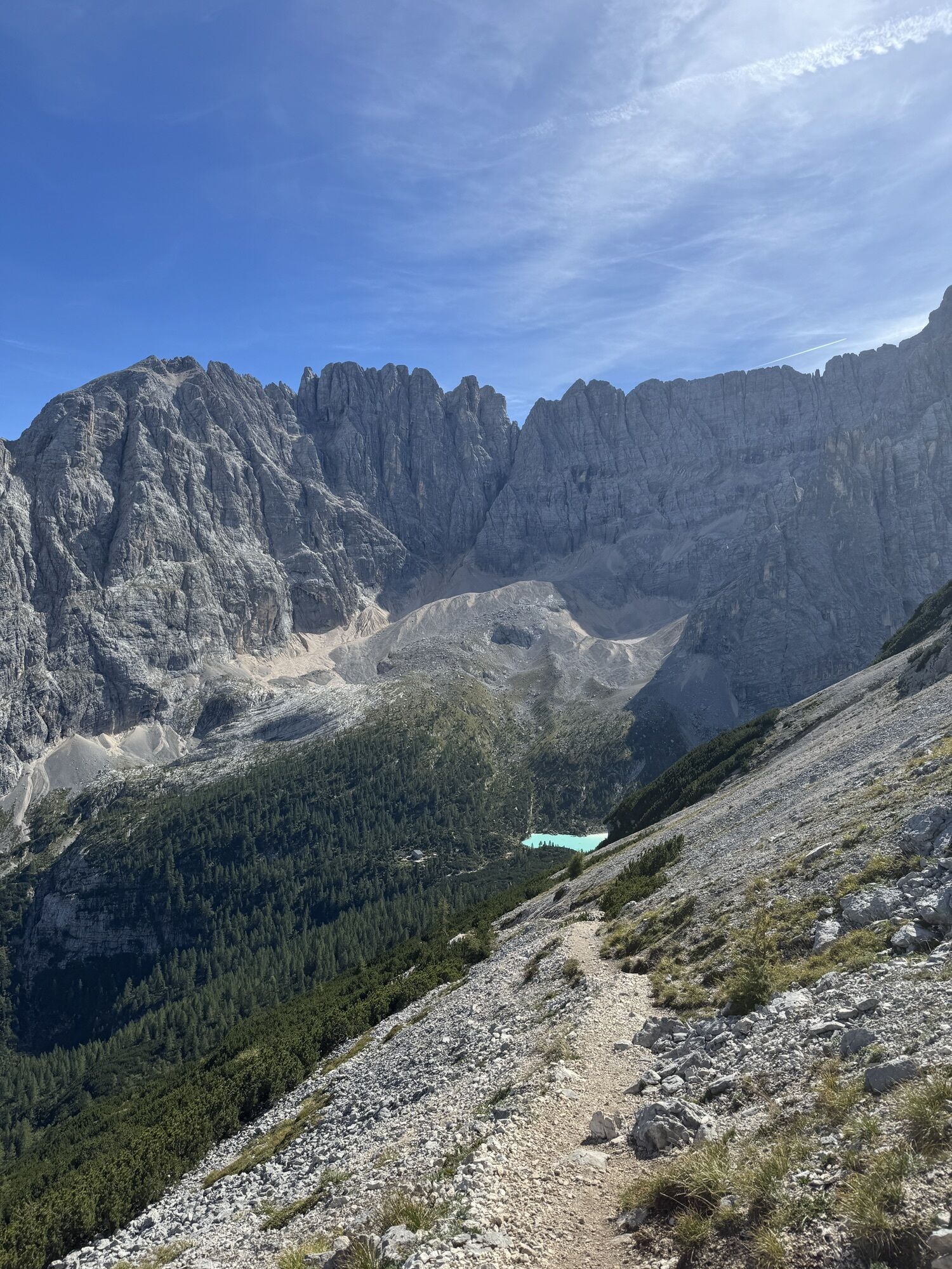
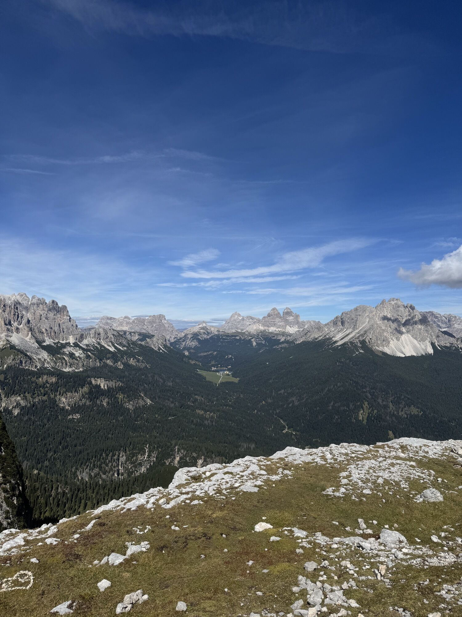
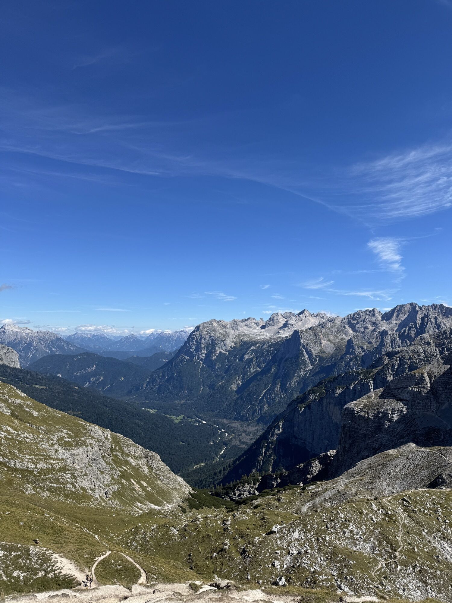
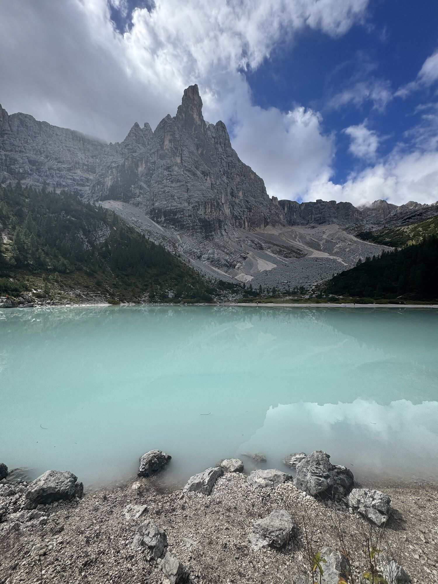
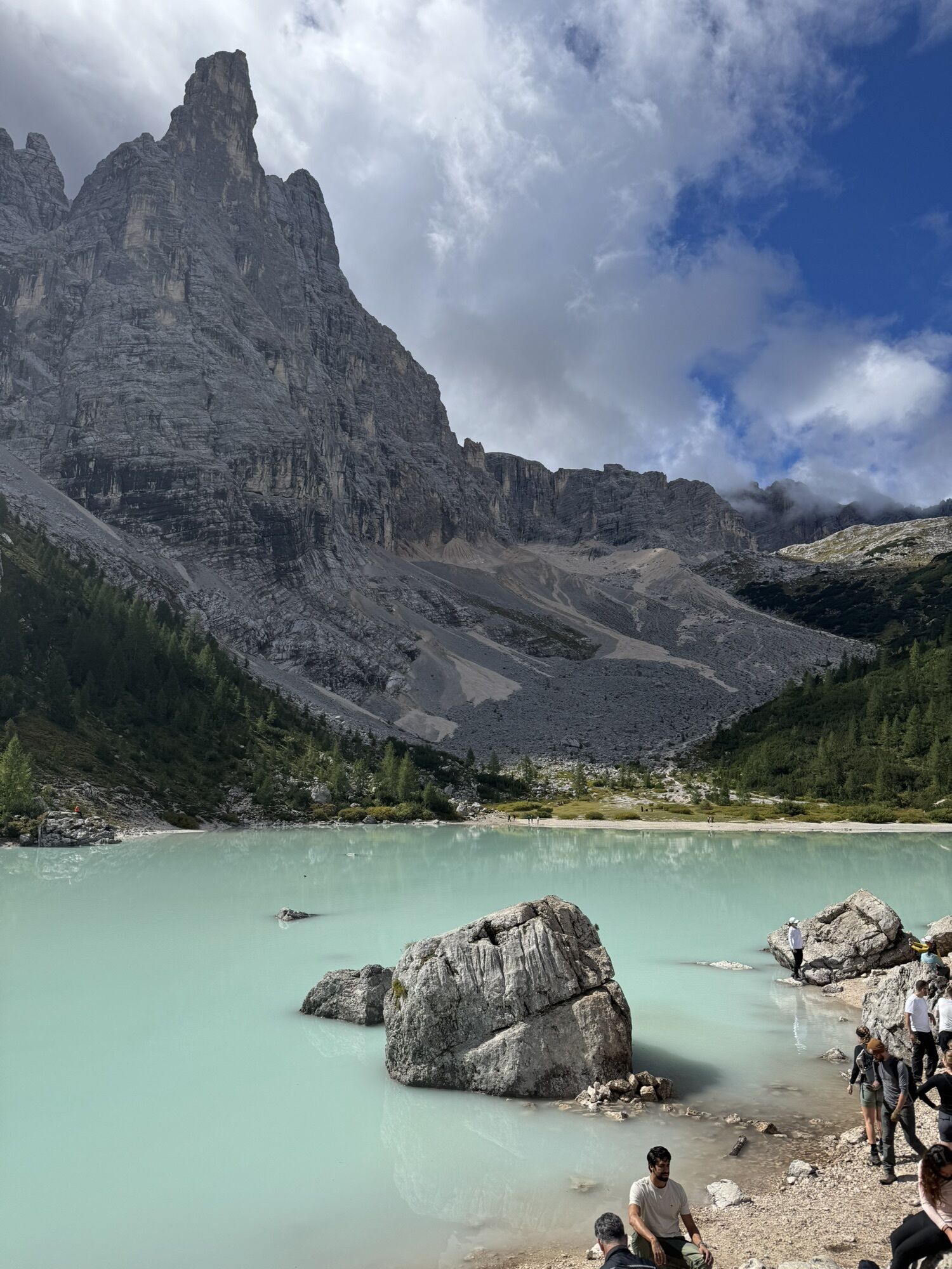
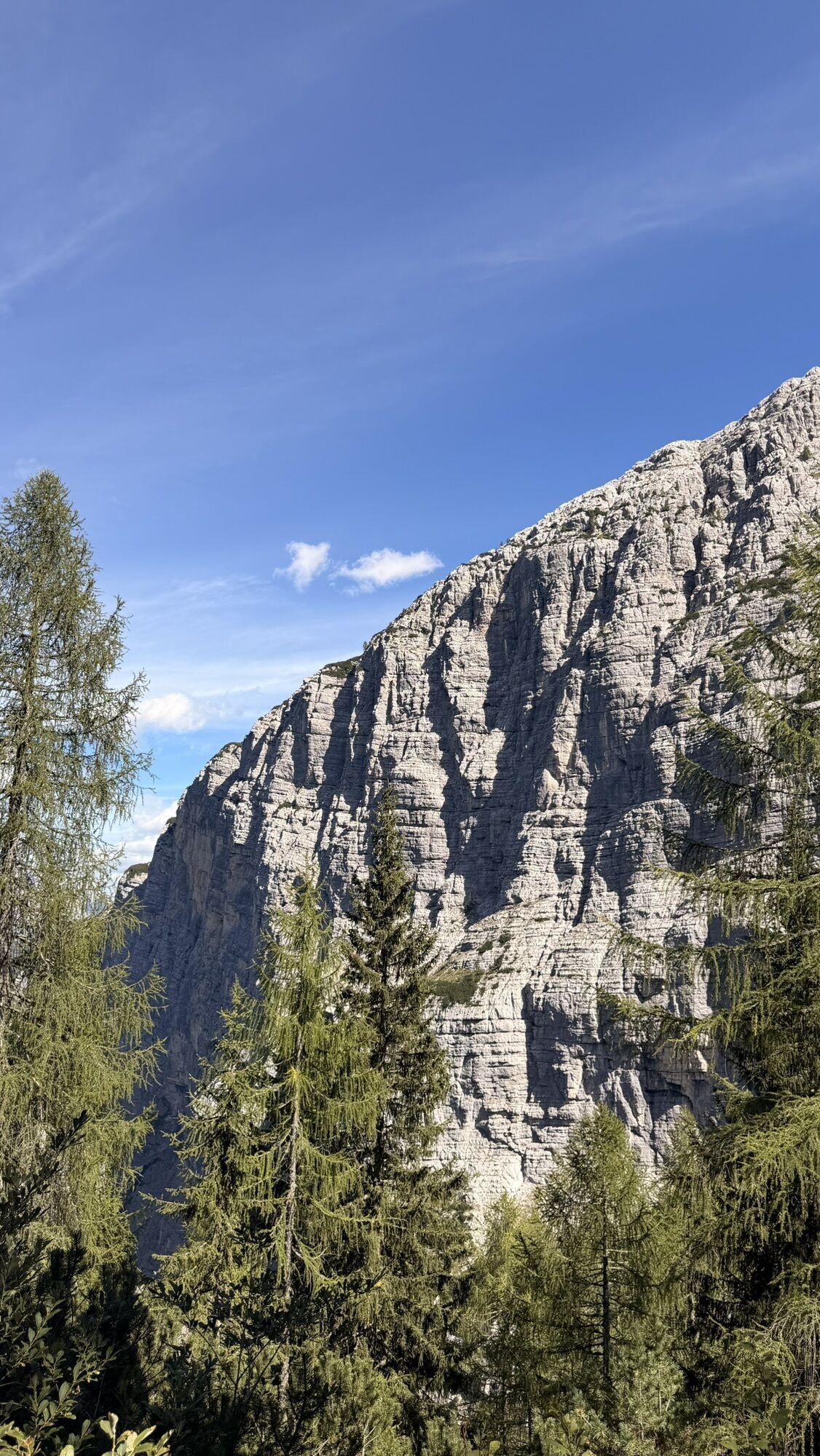
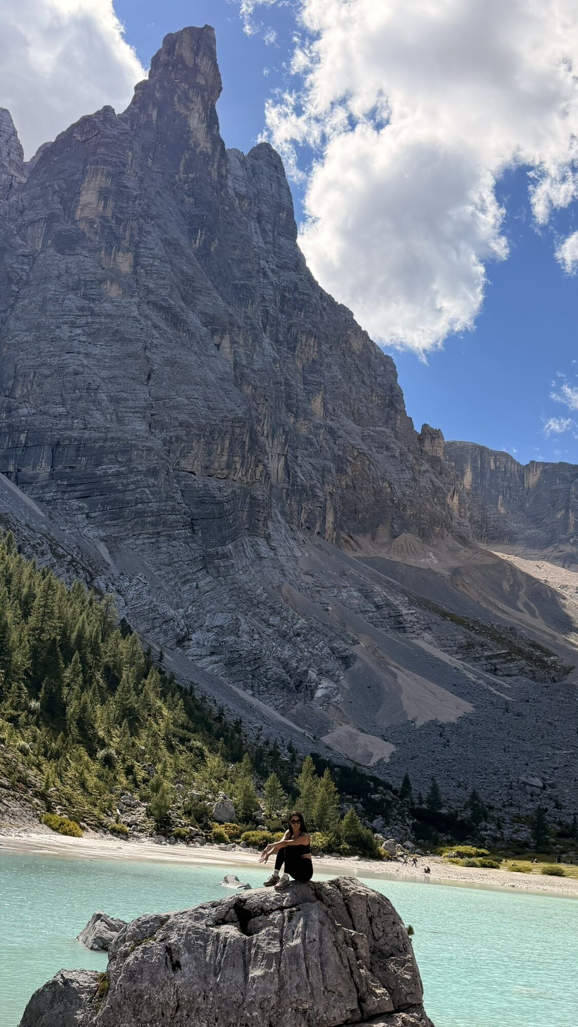
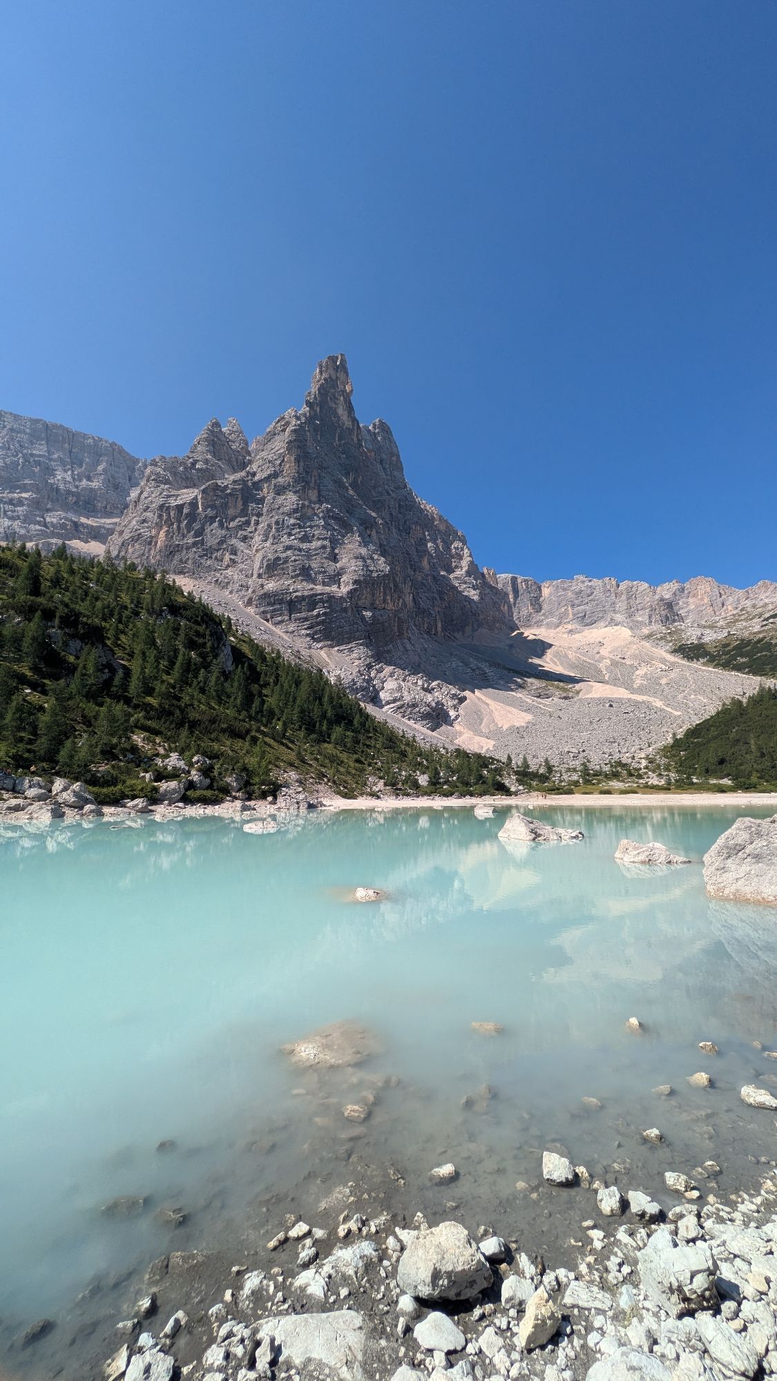
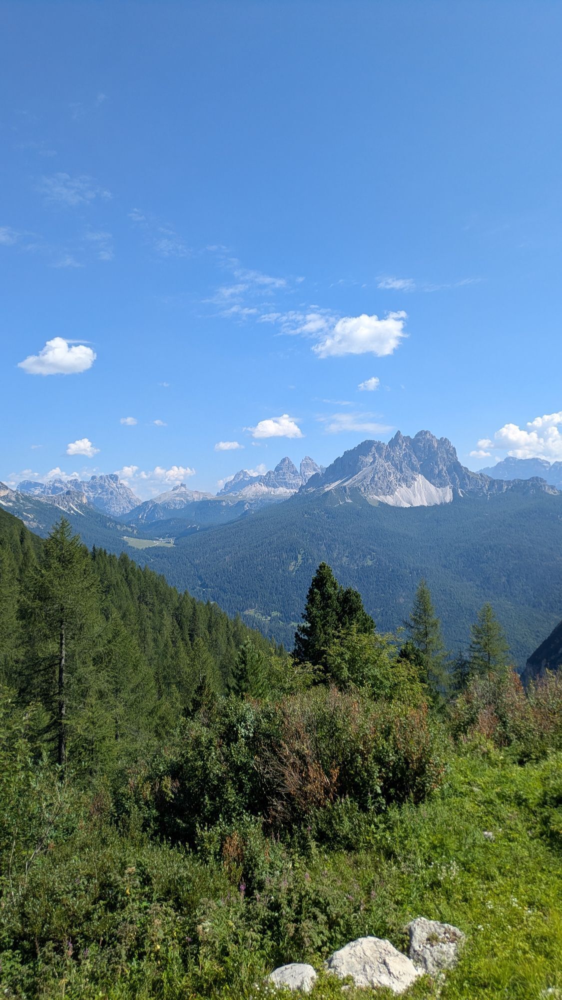


Wegverlauf
Cappella al Passo Tre Croci
(1.800 m)
Andachtsstätte
0,3 km
Rifugio Vandelli
(1.933 m)
Schutzhütte
7,7 km
Wegverlauf
Passo Tre Croci - Lago di Sorapiss
schwer
Wanderung
7,73
km
Cappella al Passo Tre Croci
(1.800 m)
Andachtsstätte
0,3 km
Rifugio Vandelli
(1.933 m)
Schutzhütte
7,7 km


Bewertungen
4 Kommentare

Mária Szombati

19. Sep. 2026
Verifiziert gegangen
Nehéz kitette túra volt, az én kondimhoz mértem. 😁

Beatrice
10. Jul. 2026
Very sketchy!
I completely agree with a previous review:
There’s one section that I honestly think is extremely dangerous! I hike a lot and spend plenty of time in the mountains, and in my opinion that part is not only pushing the limit but also life threatening.
I love challenging hikes, but this is one I honestly wouldn’t recommend to anyone, despite the absolutely stunning views.
Bewertungen
Passo Tre Croci - Lago di Sorapiss
schwer
Wanderung
7,73
km
4,0
5
(6)
4
(0)
3
(0)
2
(0)
1
(2)
4 Kommentare
Mária Szombati
19. Sep. 2026
Verifiziert gegangen
Nehéz kitette túra volt, az én kondimhoz mértem. 😁
Beatrice
10. Jul. 2026
Very sketchy!
I completely agree with a previous review:
There’s one section that I honestly think is extremely dangerous! I hike a lot and spend plenty of time in the mountains, and in my opinion that part is not only pushing the limit but also life threatening.
I love challenging hikes, but this is one I honestly wouldn’t recommend to anyone, despite the absolutely stunning views.
ALEX ALEX 5
13. Jul. 2025
That hike is unsafty
One of part of this hike is dangerously. A little of the route goes along a loose slope with a large angle. There are no safety ropes. There is a risk of collapse and it is not safe. It is better to use route 215.
Webcams der Tour

Alle Webcams auf einer Karte
Installiere die App kostenlos und vergleiche die Live-Bilder mehrerer Orte, bevor du losgehst.
Nutze bergfex jetzt in der App
Scanne den QR-Code mit deiner Kamera
Ist die App installiert, öffnet sich der Inhalt direkt. Hast du die App noch nicht, gelangst du zum kostenlosen Download.



Beliebte Touren in der Nähe
- 5,0
Drei Zinnen
mittelWanderung 19,6 km - 4,9
#31: Paternkofel von Auronzohütte, und Schartenweg, B/C
schwerKlettersteig 15,7 km - 4,8
Durch das Rienztal zu den drei Zinnen
leichtWanderung 11,8 km - 4,8
Rundtour Drei Zinnen | Sextner Dolomiten | Wandern Südtirol
mittelWanderung 10,1 km - 4,8
Fischleintal zu den 3 Zinnen Hütte mit Besteigung des Sextner Steins
mittelWanderung 16,2 km - 4,7
Fünf-Türme-Tour (Rifugi Averau, Nuvolau und Scoiattoli) vom Giau-Pass aus
mittelWanderung 10,8 km - 4,8
Passo Giau roundtrip
mittelWanderung 8,10 km - 4,7
Lago di Sorapis
mittelBergwandern 13,6 km - 4,7
Lago di Sorapis A/R
mittelWanderung 16,4 km - 4,8
Rundweg um die drei Zinnen
leichtWanderung 7 km
Wandern & Tracking

Über 550.000 Tourenvorschläge, detailliertes Kartenmaterial und ein intuitiver Routenplaner machen die App zum Must-have für alle Naturbegeisterten.

Verpasse keine Angebote und Inspirationen für deinen nächsten Urlaub
Zum Newsletter anmelden
Fehler
Ein Fehler ist aufgetreten. Bitte versuche es erneut.Vielen Dank für deine Anmeldung
Deine E-Mail-Adresse wurde in den Verteiler eingetragen.
Touren in ganz Europa
Österreich Schweiz Deutschland Italien Slowenien Frankreich Niederlande Belgien Polen Liechtenstein Tschechien Slowakei Spanien Kroatien Bosnien und Herzegowina Luxemburg Andorra Portugal Island Vereinigtes Königreich Irland Griechenland Albanien Nordmazedonien Malta Norwegen Montenegro Moldau Kosovo Ungarn San Marino Rumänien Estland Lettland Belarus Zypern Litauen Serbien Bulgarien Monaco Dänemark Schweden Finnland


