


Etappe 34: Alpina Antica Trail | ET34: Concordia Sagittaria - Torre di Mosto
Schwierigkeitsgrad: T1
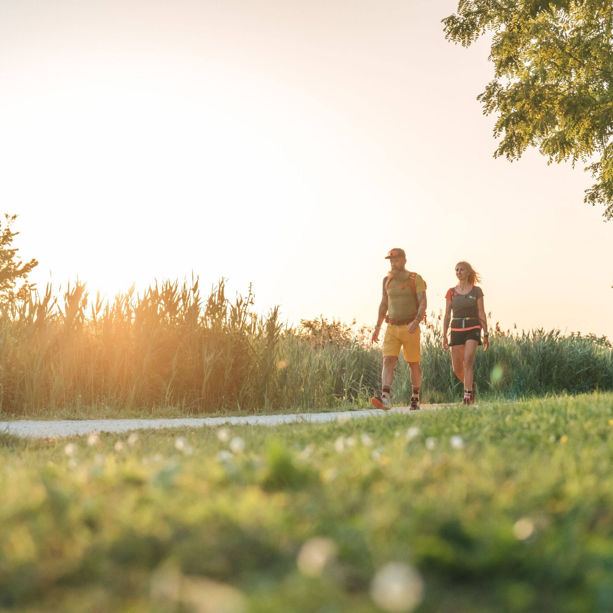
We are on the main route of the Via Romea Strata from Tarvisio (Friuli Venezia Giulia) to Fucecchio (Tuscany) where the path joins the Via Francigena. The Veneto region is characterized by the presence...
We are on the main route of the Via Romea Strata from Tarvisio (Friuli Venezia Giulia) to Fucecchio (Tuscany) where the path joins the Via Francigena. The Veneto region is characterized by the presence of the Venetian Lagoon and the stately villas built along the Padua stretch. Finally, one can admire the beauty of the boundless plains that dominate the lower Padua and Rovigo areas. You can visit the great cities charged with culture, faith, art and religiosity such as Venice and Padua. In the dining spots you will taste the specialties of the area especially fish specialties, sausages and polenta.

T1
Beliebte Touren in der Nähe
Adriabike von Venedig (Punta Sabbioni) nach Lignano Sabbiadoro (C202)
schwerFernradweg 109,9 kmPorto Santa Margherita Caorle RDW Venetien/Italien
mittelWanderung 11,7 kmDuna Verde - Eraclea
leichtRadfahren 31,0 kmCaorle RDW Venetien/Italien
mittelWanderung 12,0 kmCaorle, RDW Venetien/Italien
leichtWanderung 10,9 kmRomea Strata, Vienna-Roma, tappa #20
mittelPilgerweg 36,7 kmDuna Verde 2. Rundtour
leichtRadfahren 26,8 kmPerla Nera - Chiesa di Sant'Agnese - Oratorio Madonna Della Pescheria - Rione San Nicolò
Radfahren 67,8 km- 5,0
Ceggia - Al Trovatore - Caorle - Oratorio Bragadin
mittelRennrad 59,9 km Trattoria alla Bionda - Chiesa di Santa Maria della Purificazione - Duomo di Portogruaro - Concordia Sagittaria
Pilgerweg 17,2 km
Wandern & Tracking


Verpasse keine Angebote und Inspirationen für deinen nächsten Urlaub
Deine E-Mail-Adresse wurde in den Verteiler eingetragen.