


Paukaneva Trail
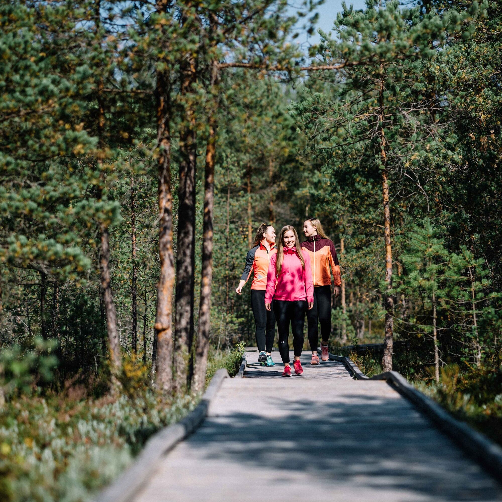
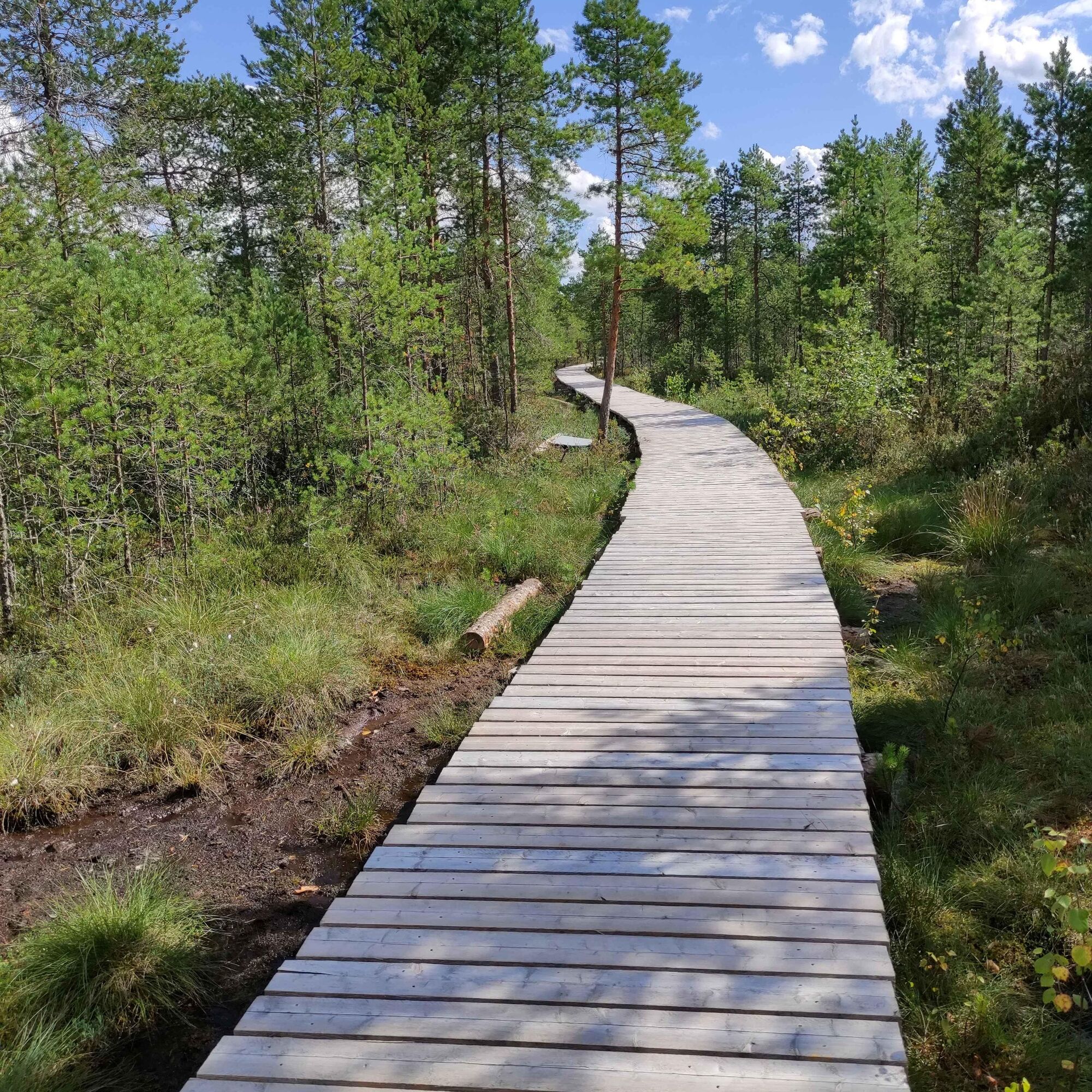
Paukaneva is a bog in Seinäjoki, west of the centre of Nurmo. The area has a viewing tower and a duckboard nature trail. Starting from the direction of Vaasantie, the first 700 metres of trail are wheelchair...
Paukaneva is a bog in Seinäjoki, west of the centre of Nurmo. The area has a viewing tower and a duckboard nature trail. Starting from the direction of Vaasantie, the first 700 metres of trail are wheelchair accessible. The flora of Paukaneva is rugged, as is typical of boglands: shrubs of various sizes and peat moss. It is home to a variety of birds. The species nesting in Paukaneva include Eurasian curlews, Eurasian whimbrel, and several seagull species. During migration, swans and geese stop in the area to rest.
The flora of Paukaneva is rugged, as is typical of boglands: shrubs of various sizes and peat moss. It is home to a variety of birds. The species nesting in Paukaneva include Eurasian curlews, Eurasian whimbrel and several seagull species. During migration, swans and geese stop in the area to rest.

Ja
Seinäjoelta Ylistaroon menee useita vuoroja arkipäivisin, joten keskustasta pääsee hyvin lähelle Vaasantien lähtöpistettä.
Parking areas are available in three locations: Along Vaasantie and Kiikuntie and at the end of Karhinkatu, close to the centre of Nurmo.
Beliebte Touren in der Nähe
-
Kyrkösjärvi Nature Trail
mittelWanderung 5,78 km -
Tohnin kirkkotie
mittelFernradweg 116,8 km -
Parkradfahren in Seinäjoki
Radfahren 21,7 km -
Keski-Nurmo’s Bridges
leichtRadfahren 33,0 km -
Kyrkösjärven-Rundfahrt
leichtRadfahren 18,3 km -
Both sides of the Nurmonjoki
leichtRadfahren 37,2 km -
Alajoki cultural landscape route
mittelRadfahren 45,4 km -
Oravapolku Trail
leichtWanderung 0,76 km -
Accessible Jouppilanvuori Adventure Trail
Wanderung 6,75 km -
Jouppilanvuori Trail running route
Wanderung 6,60 km

Wandern & Tracking


Verpasse keine Angebote und Inspirationen für deinen nächsten Urlaub
Deine E-Mail-Adresse wurde in den Verteiler eingetragen.