






UTVV LEGIONAR - 30 km
Schwierigkeitsgrad: T2
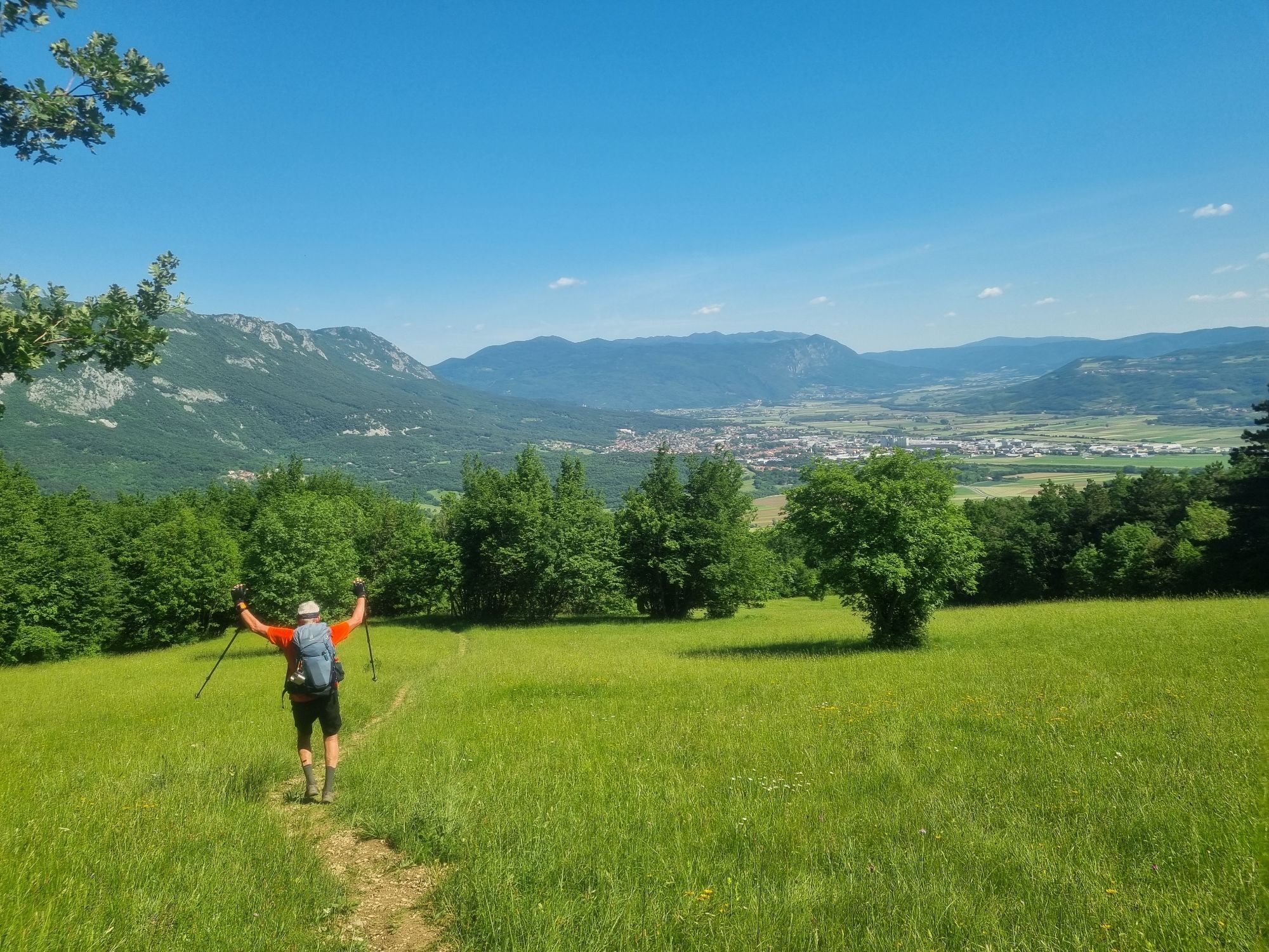
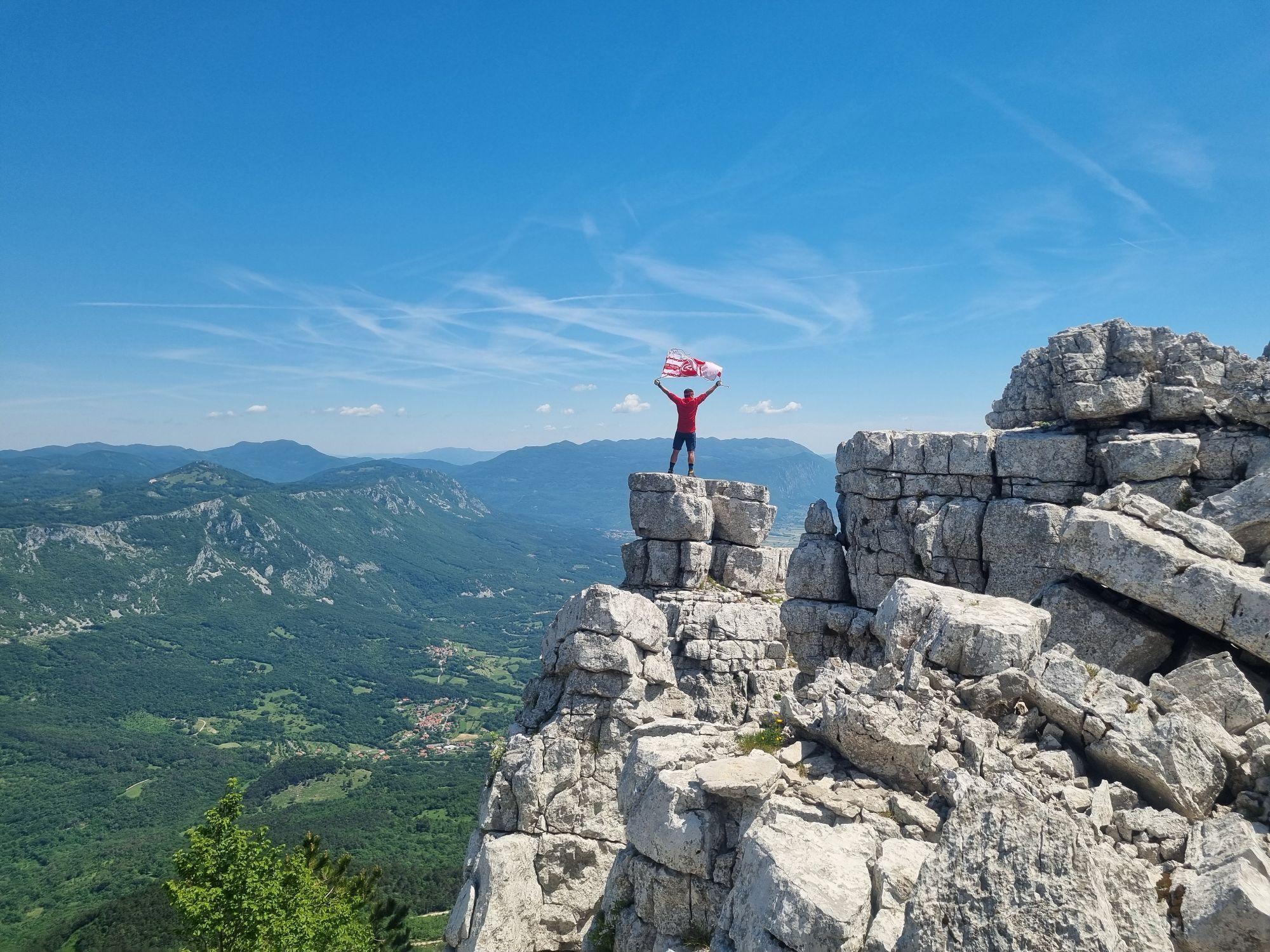
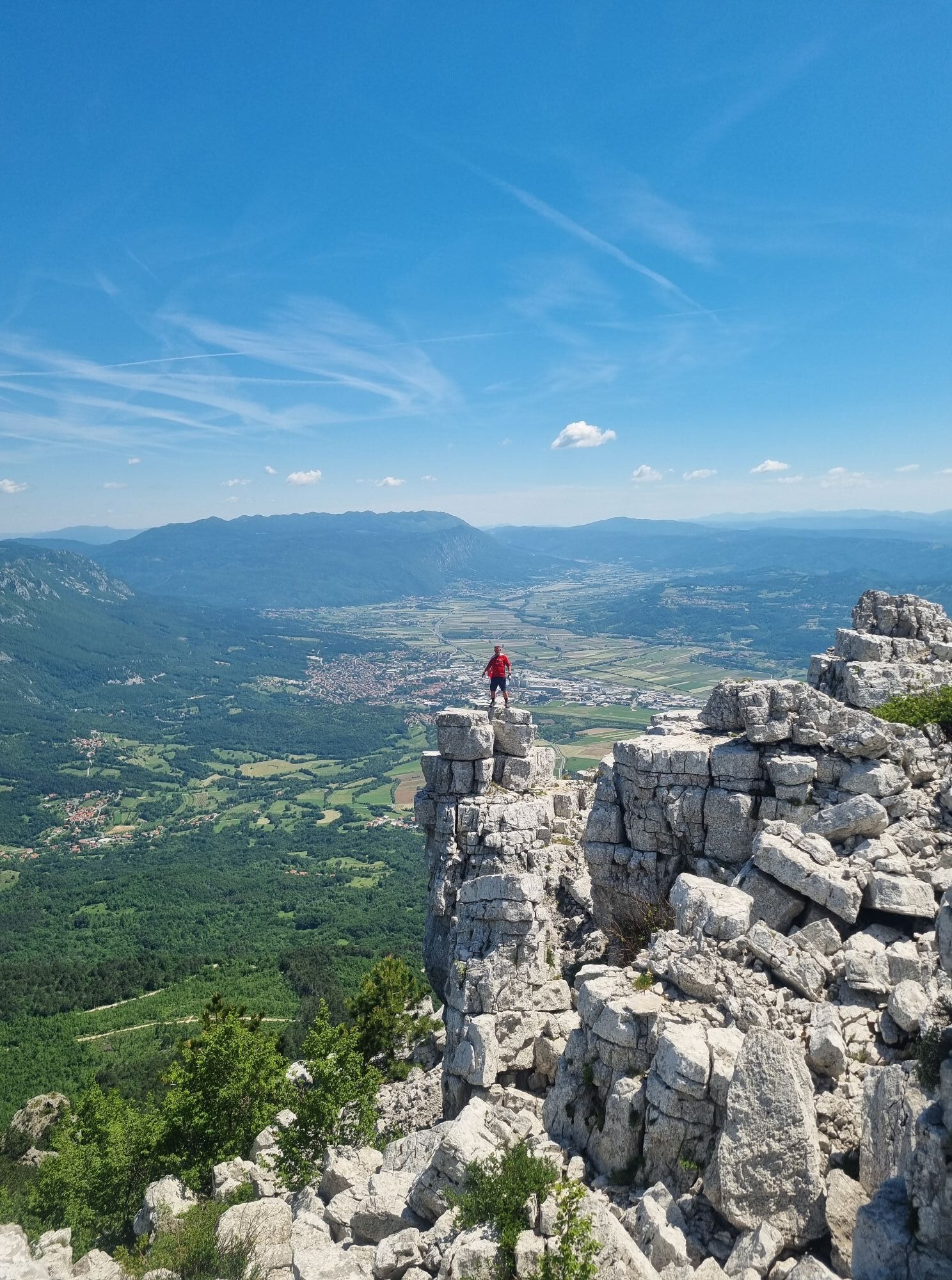
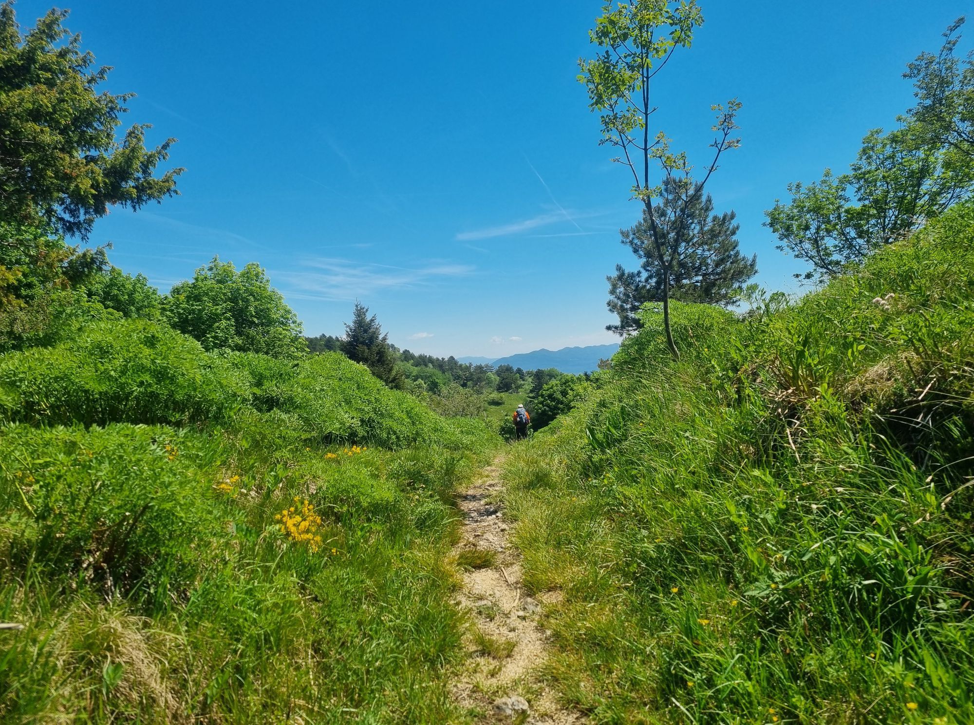
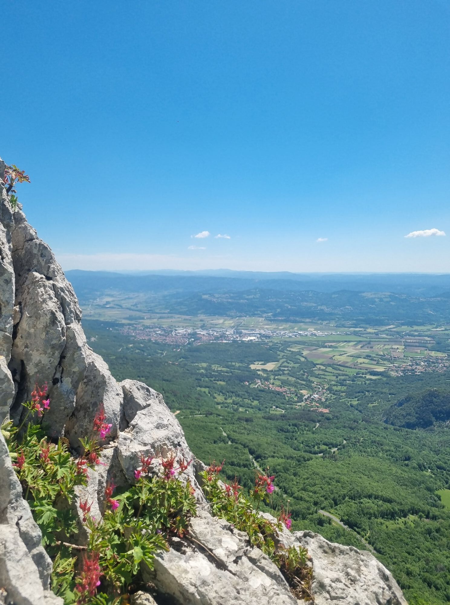
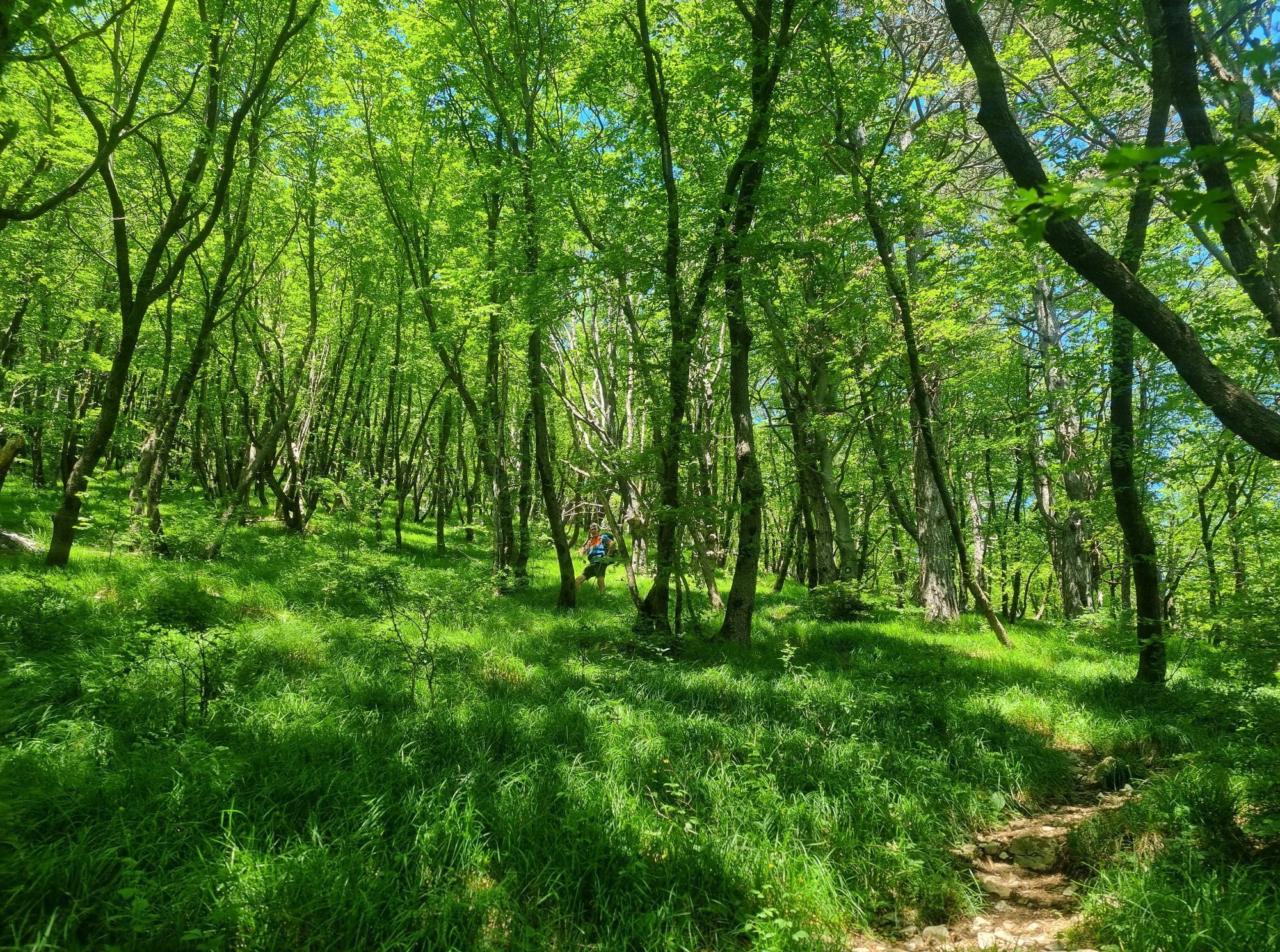
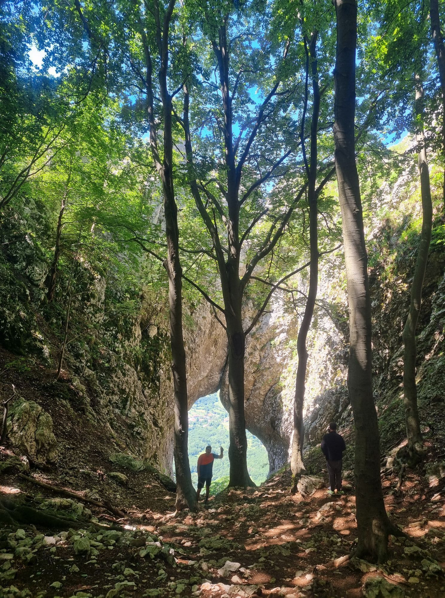
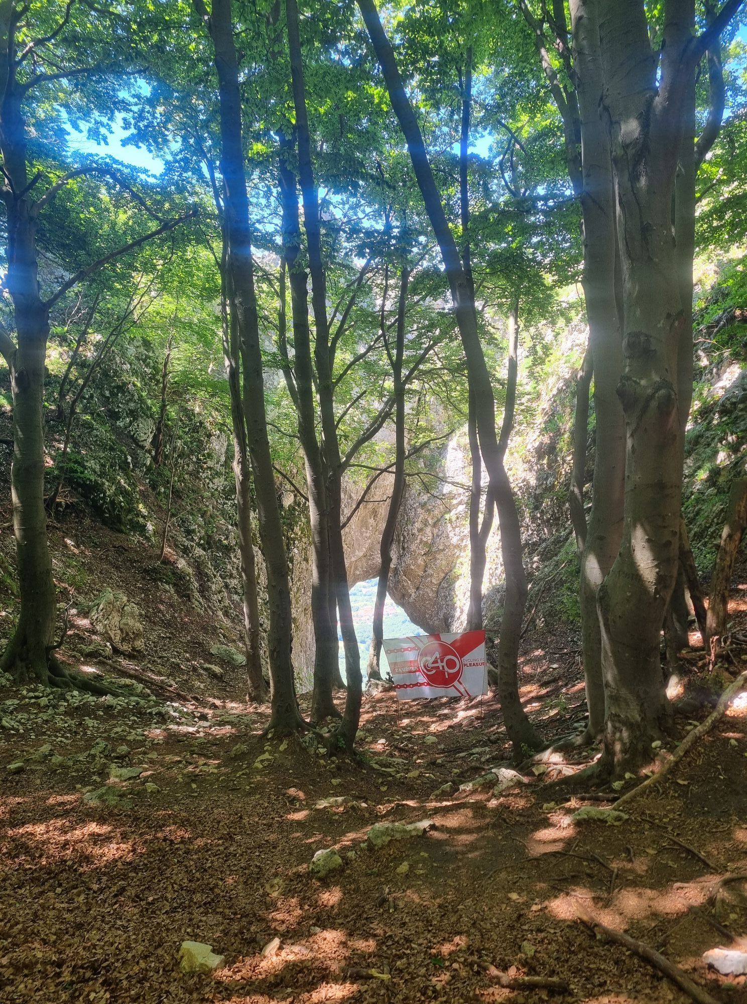
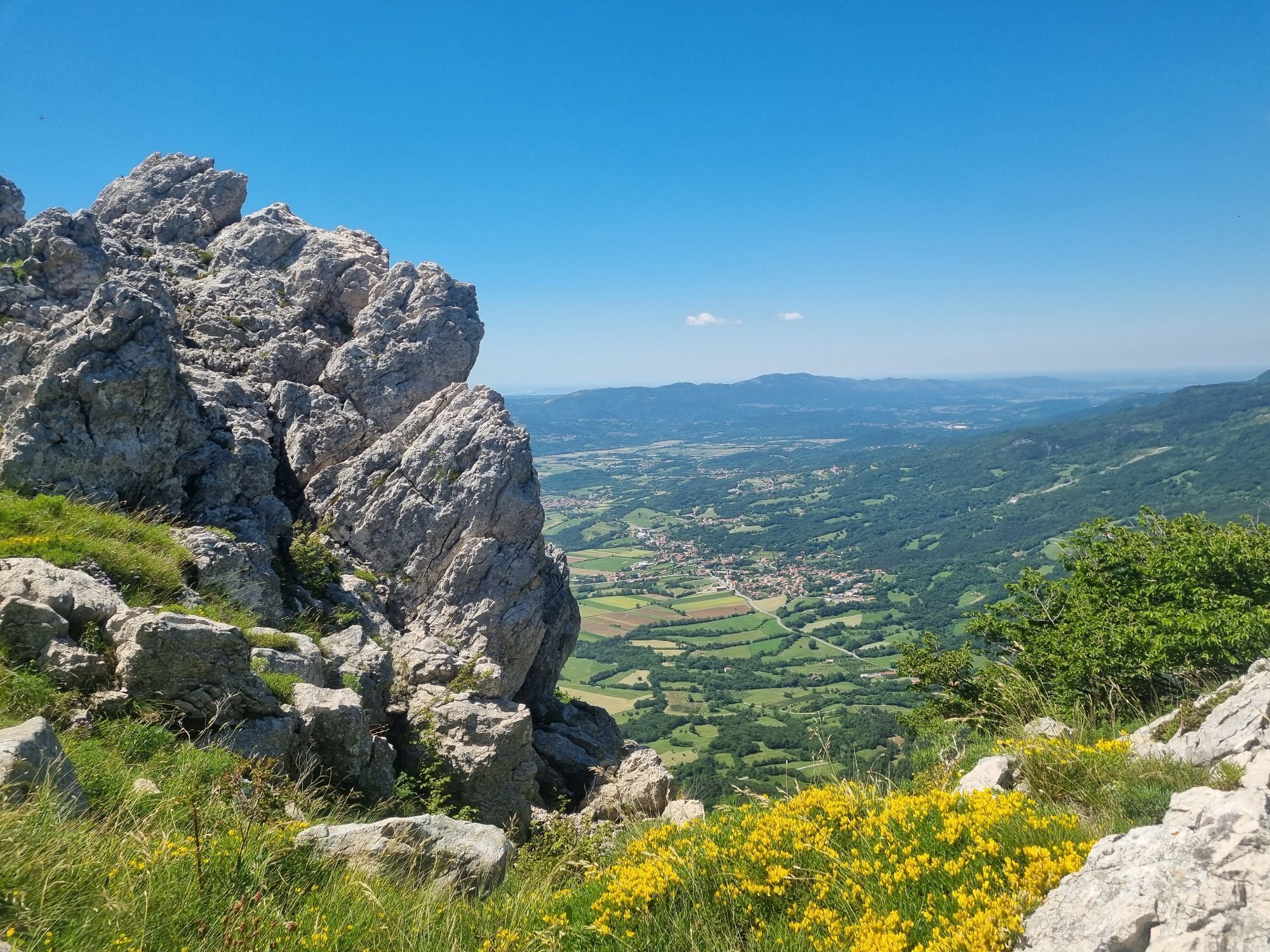
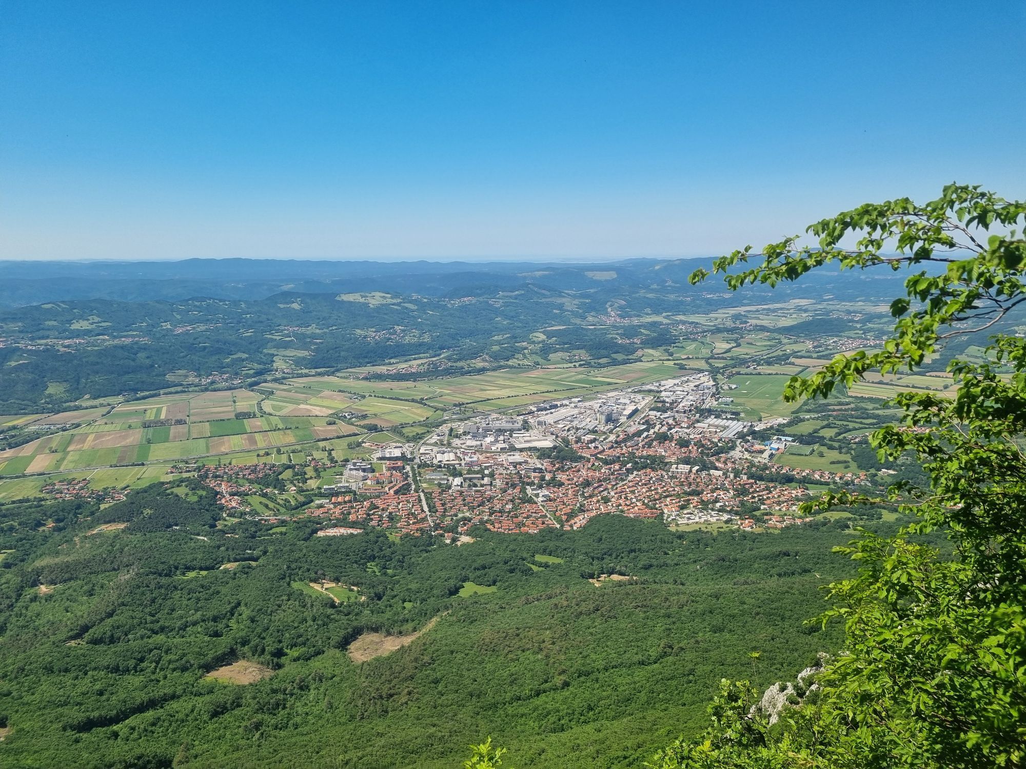
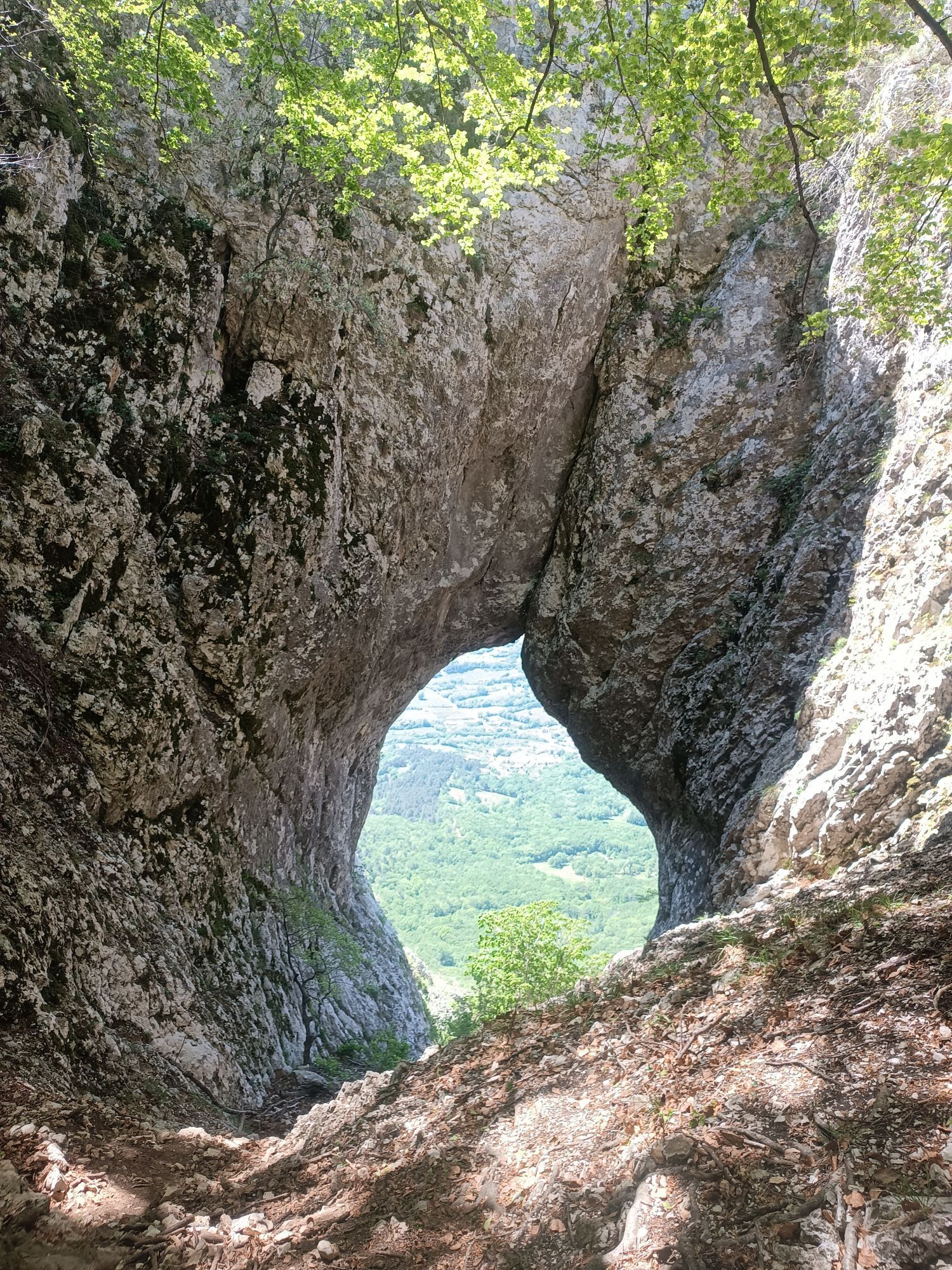
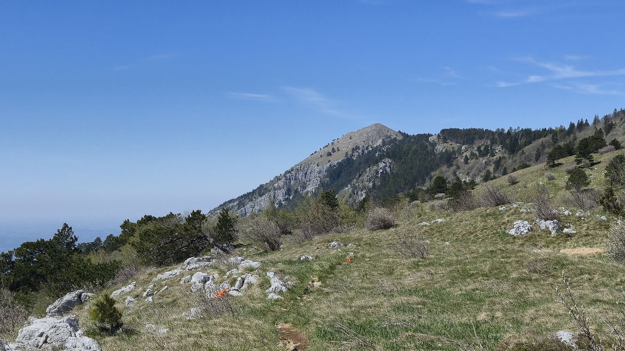
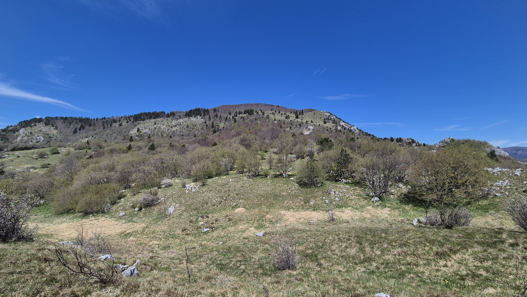
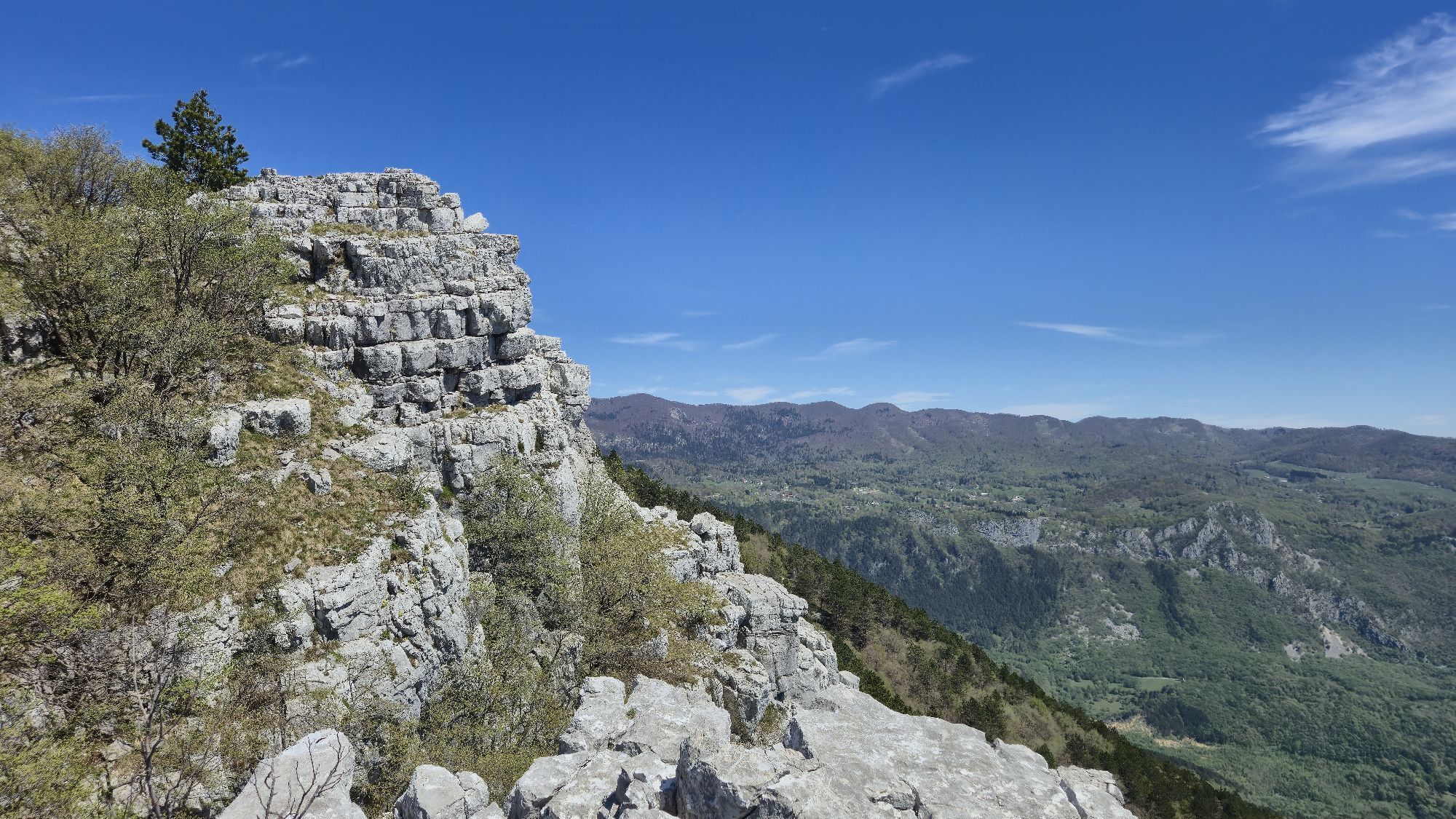
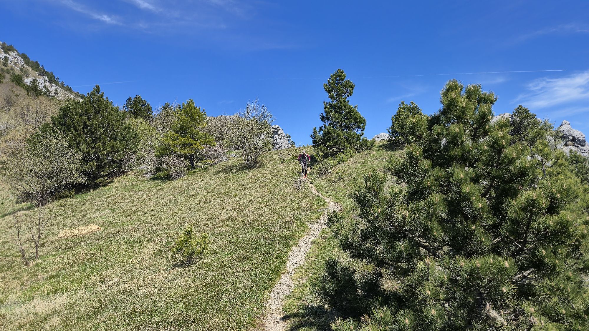
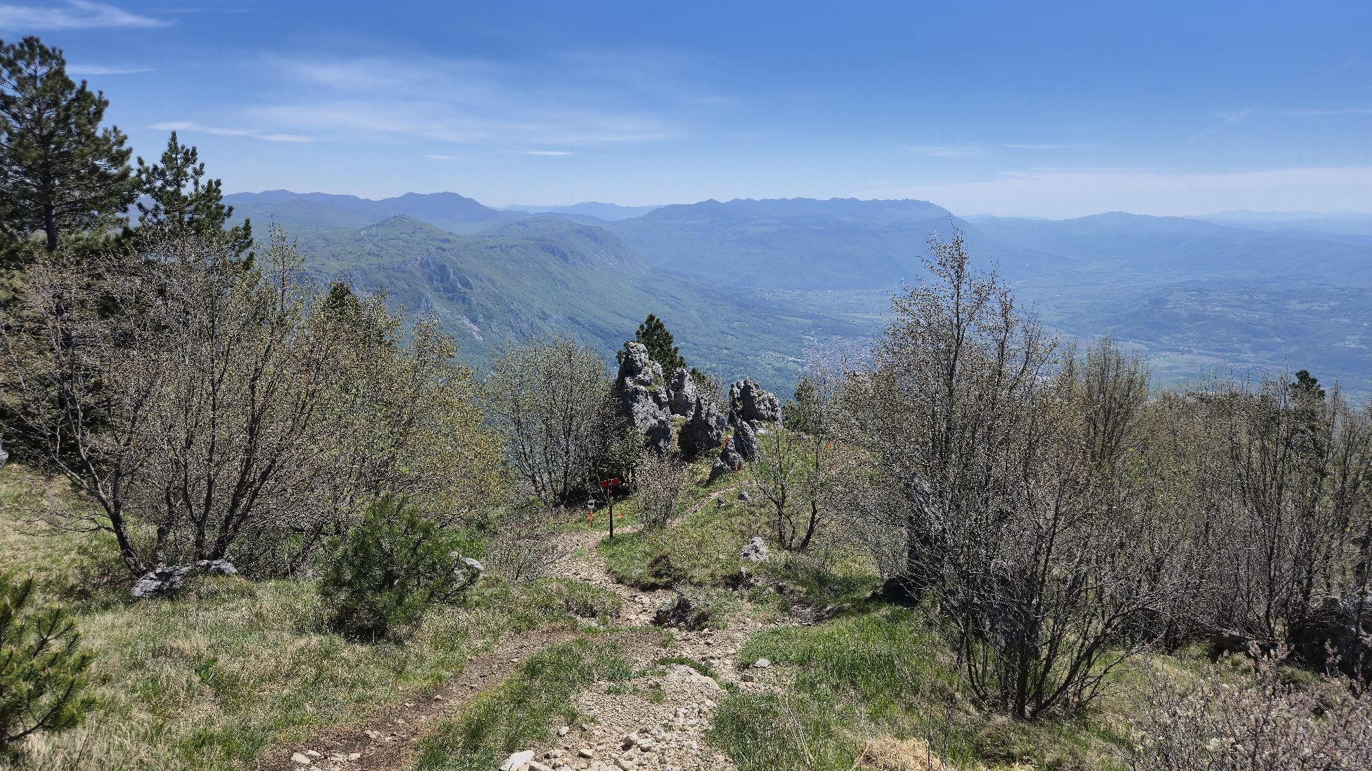
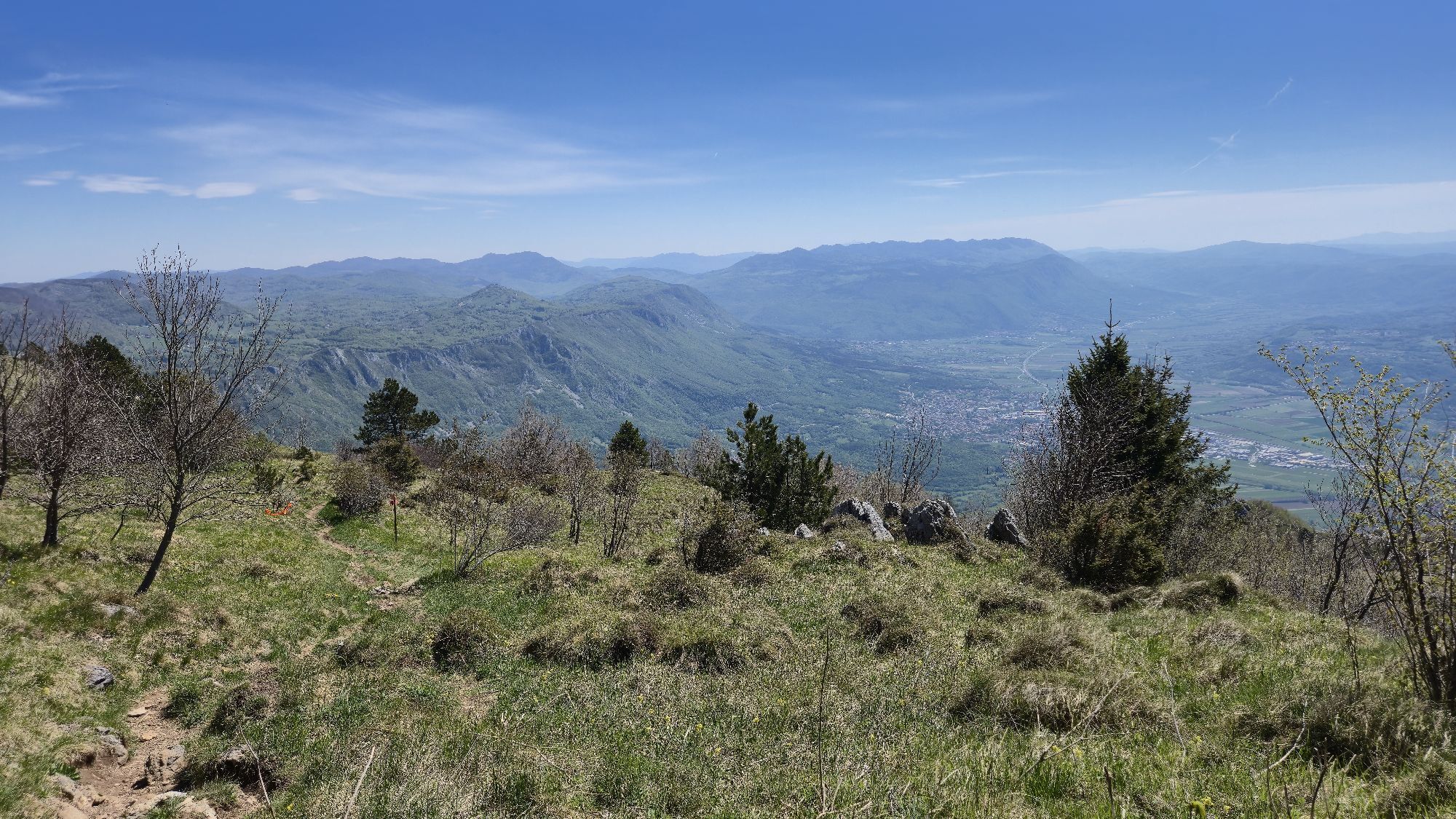
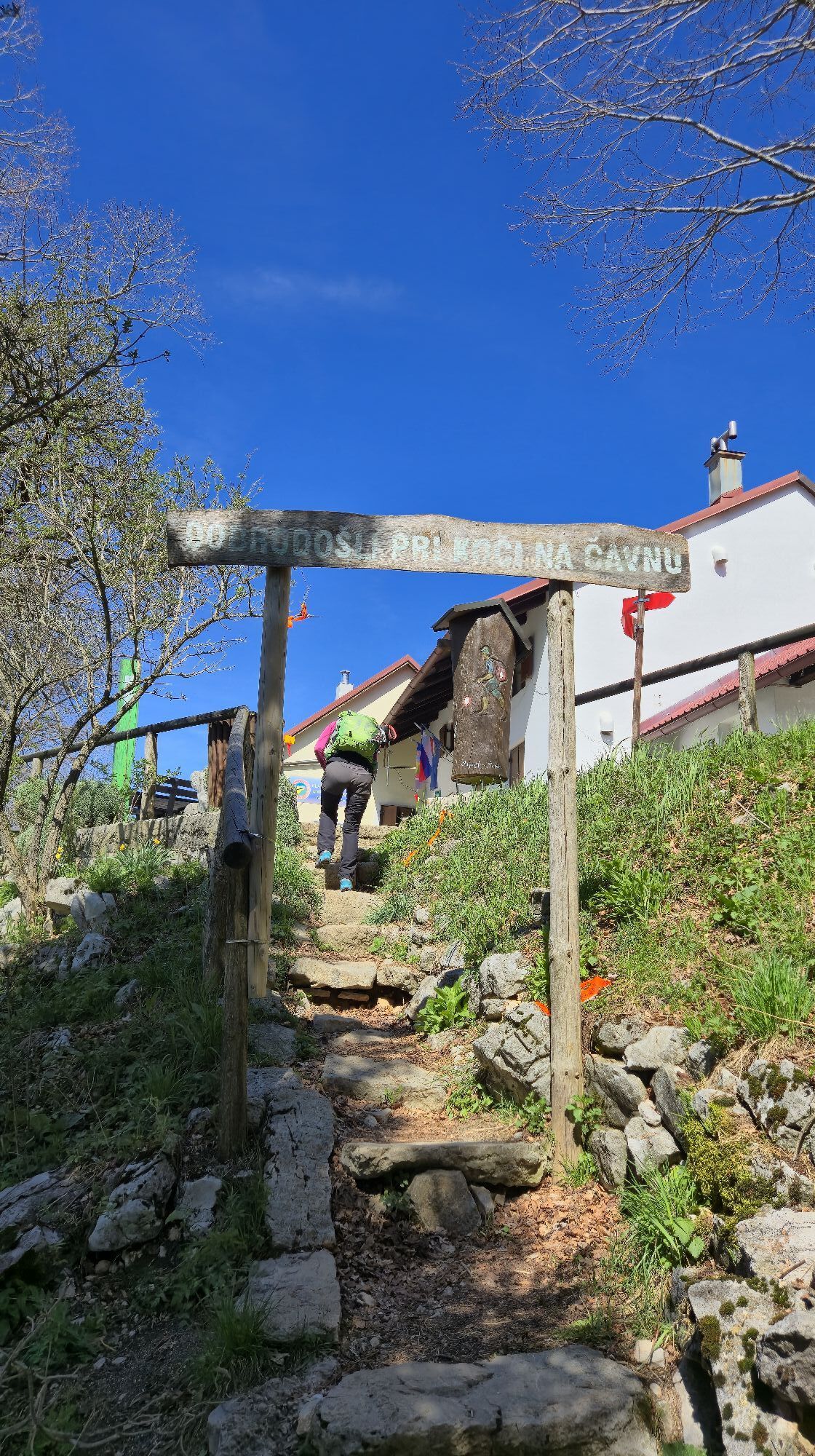
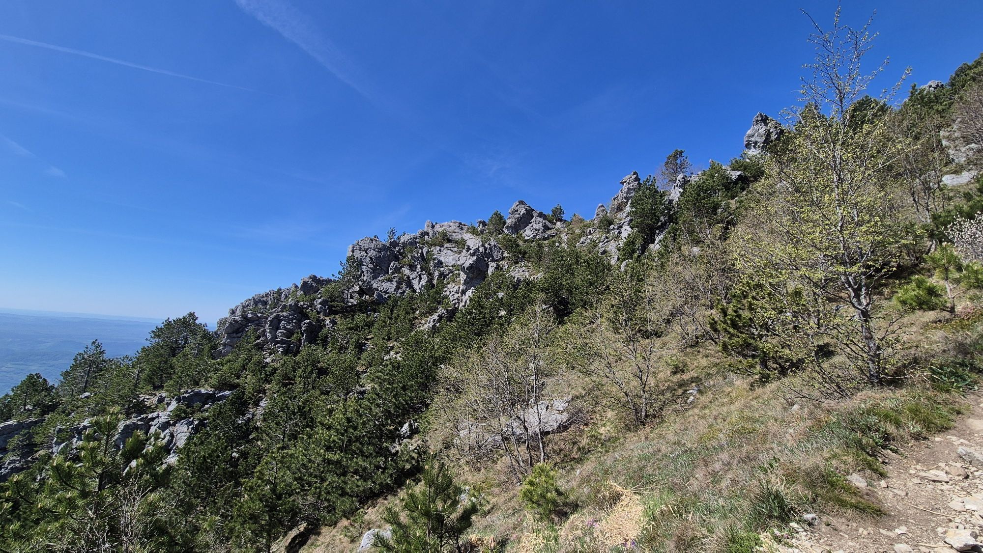
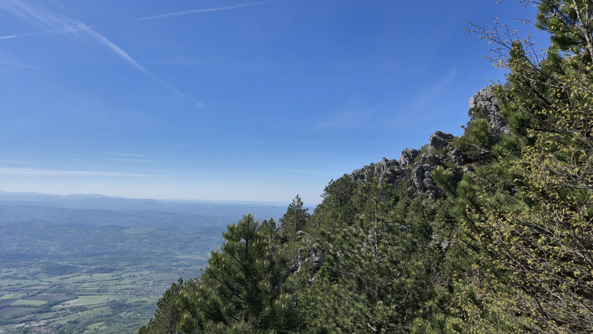
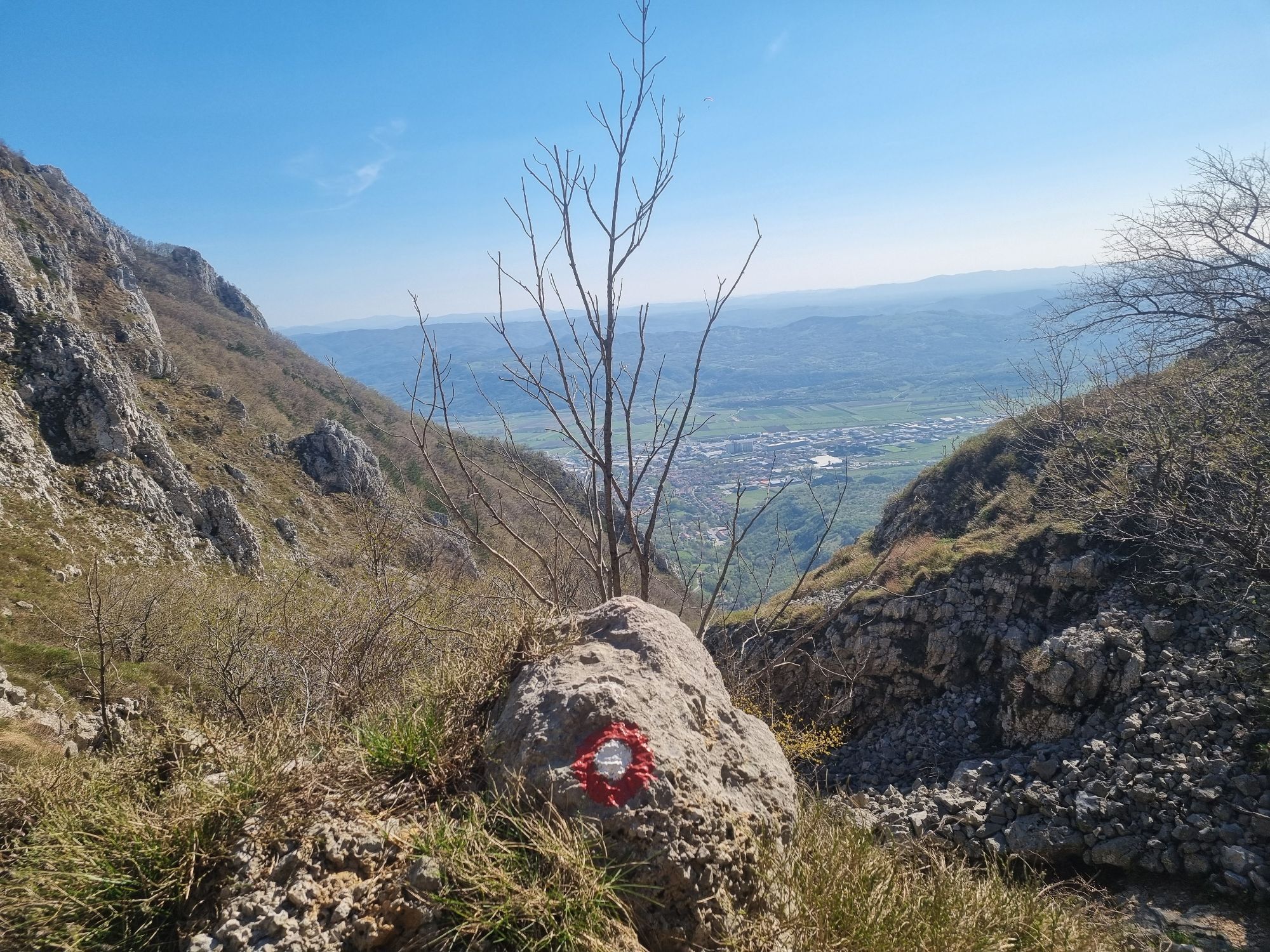
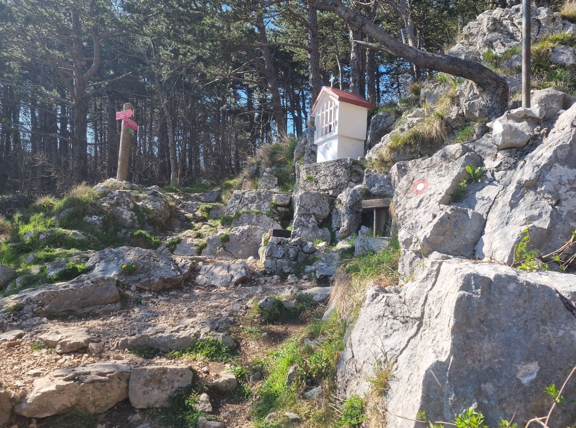
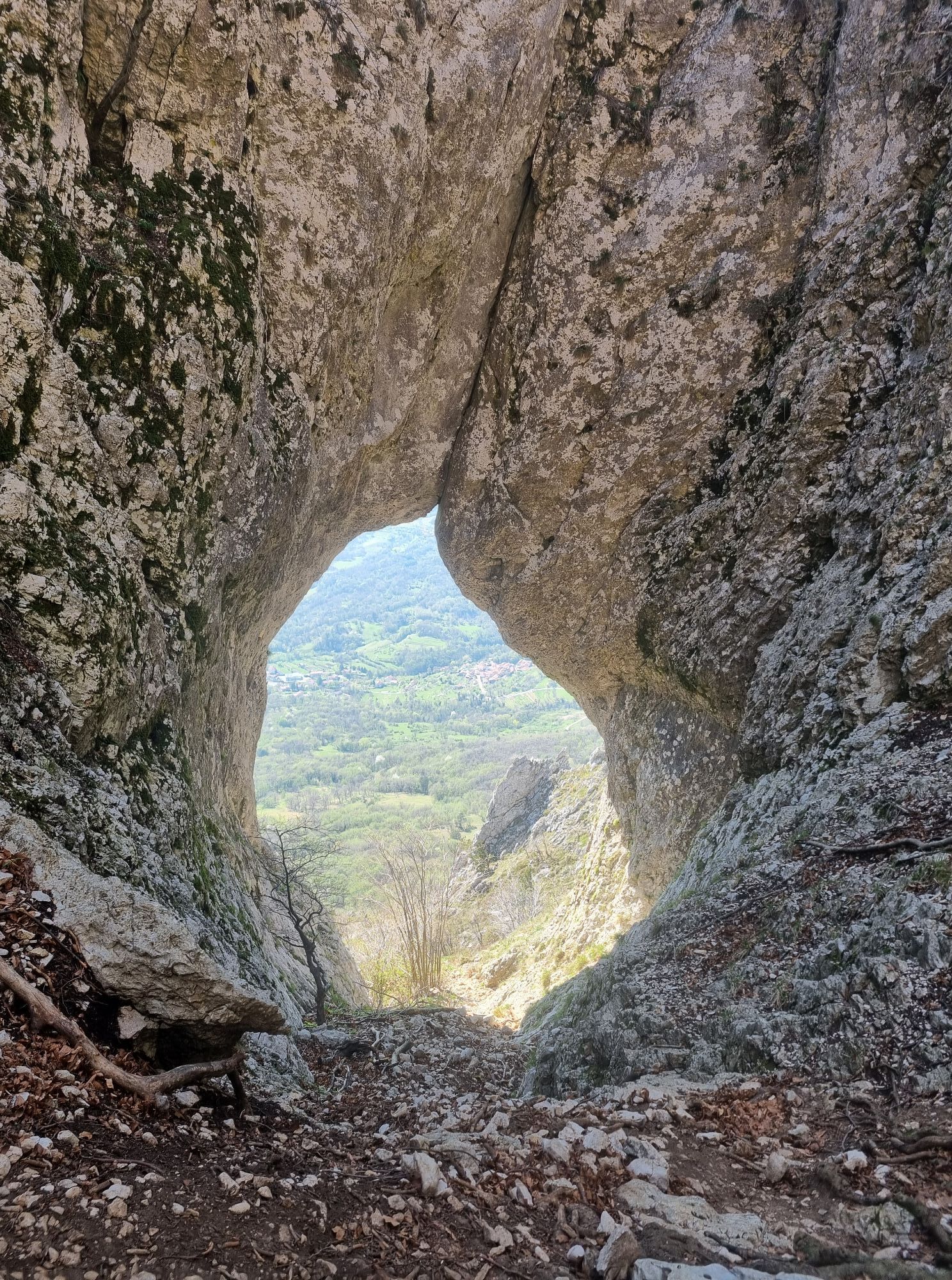
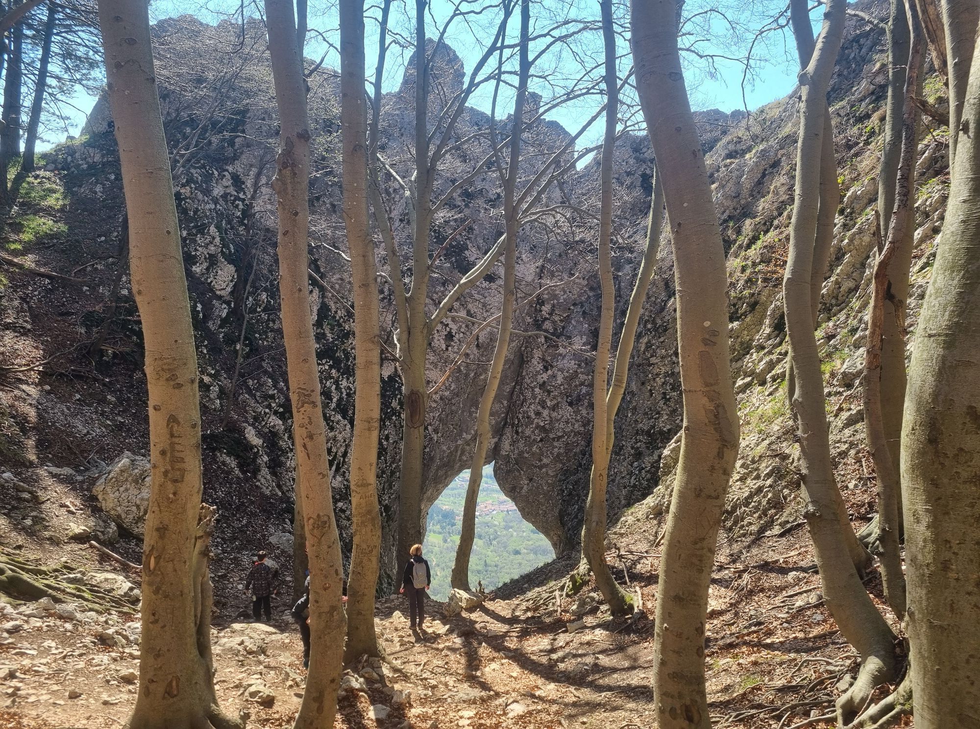
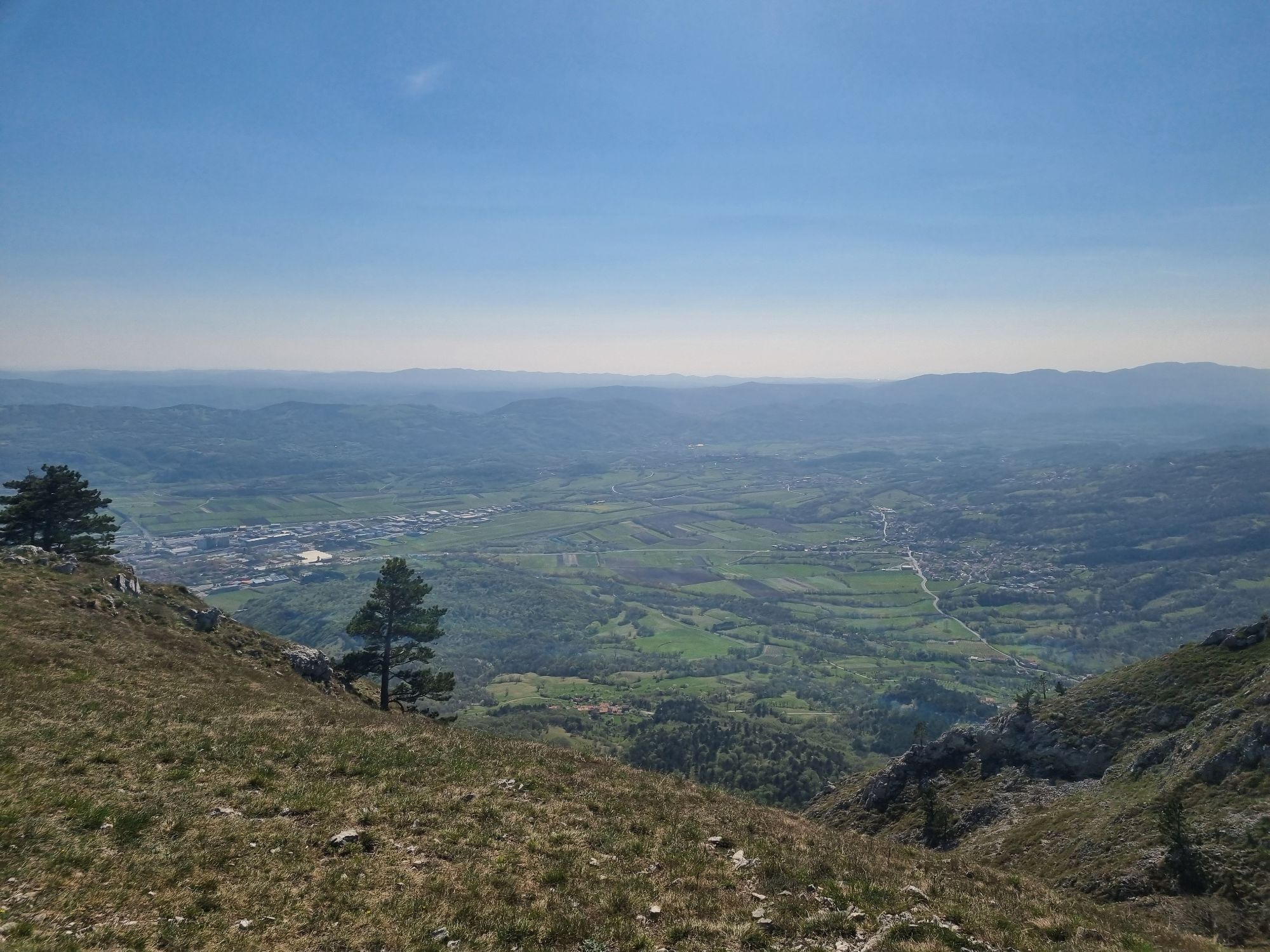
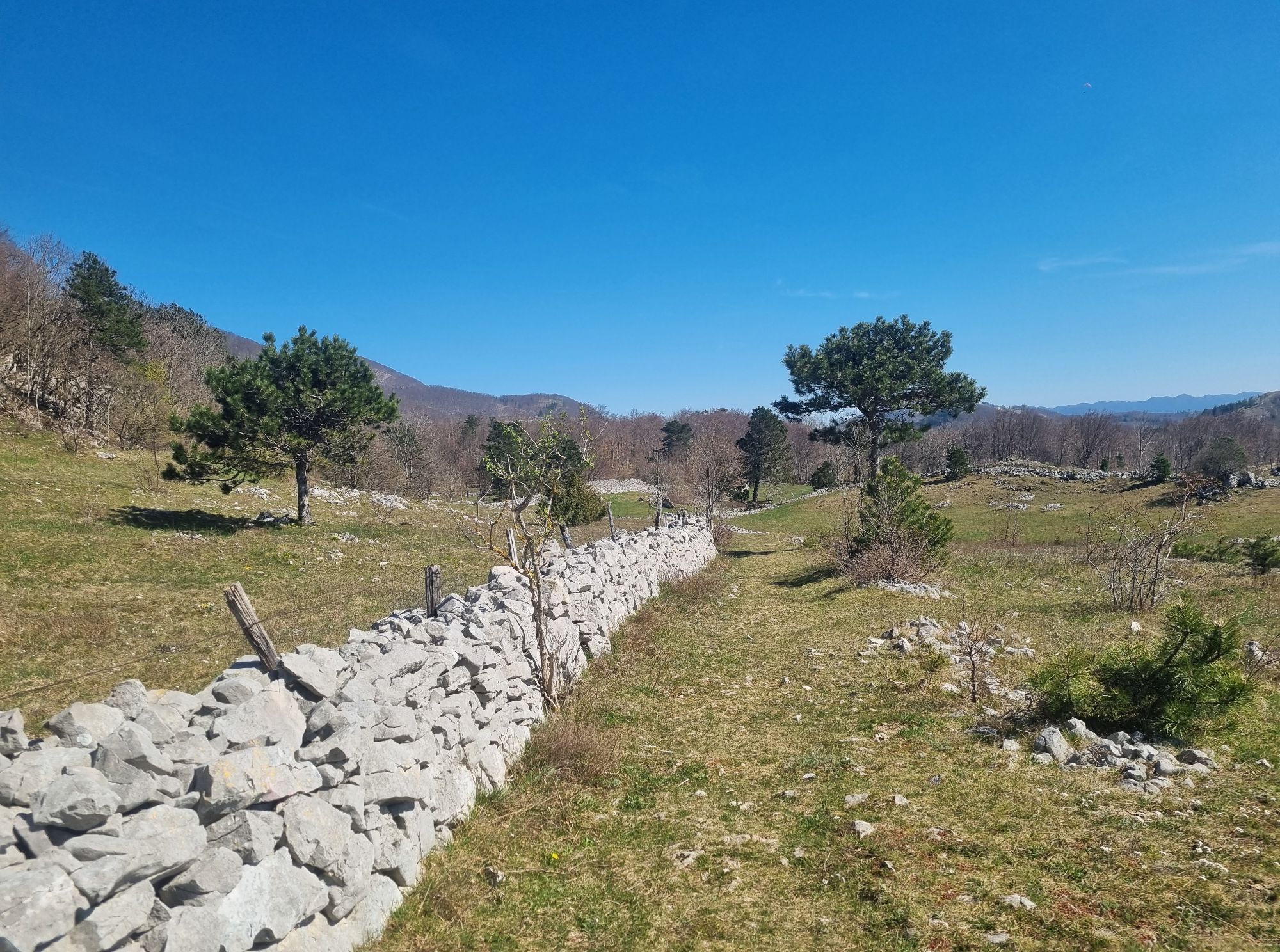
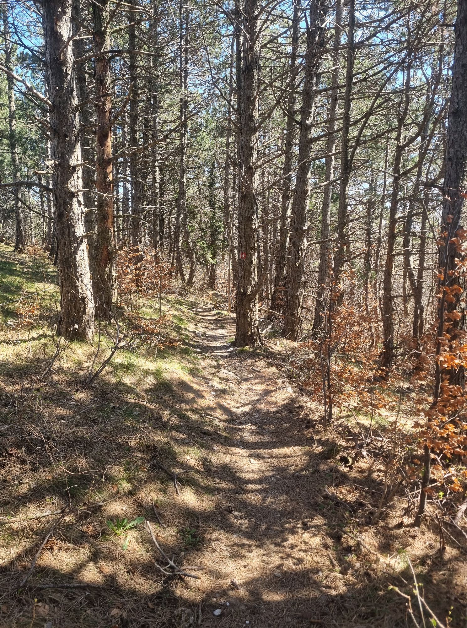
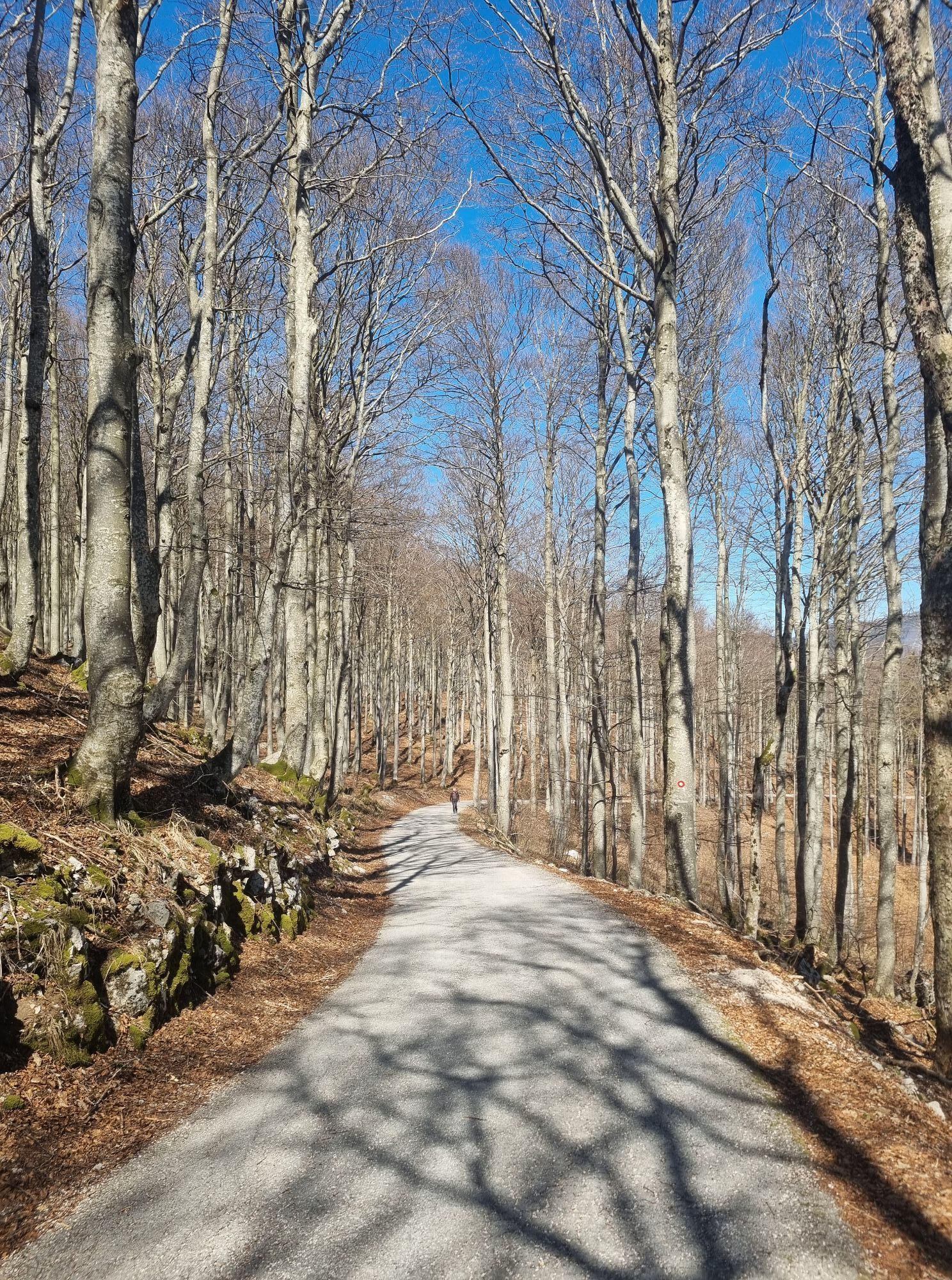
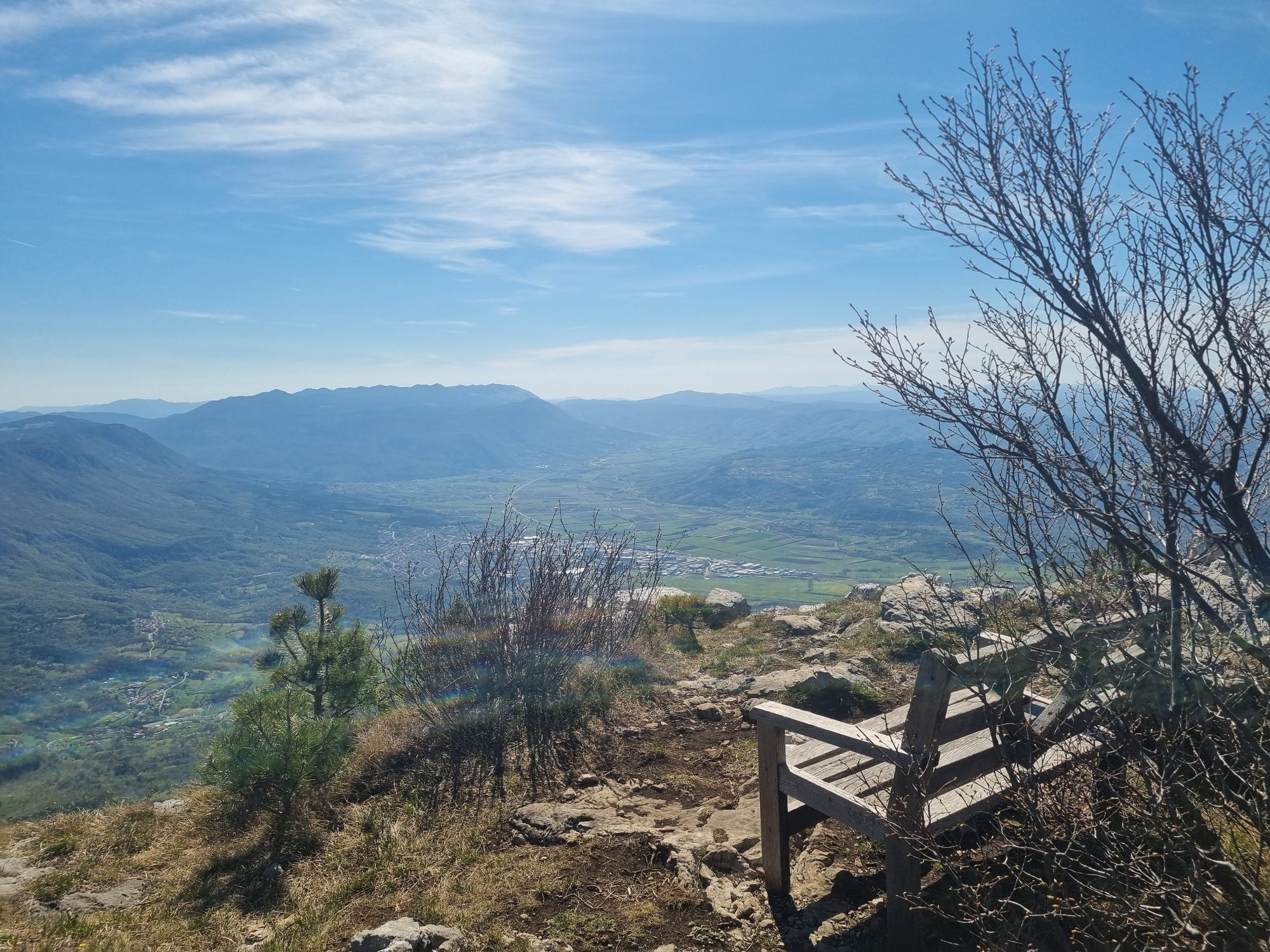
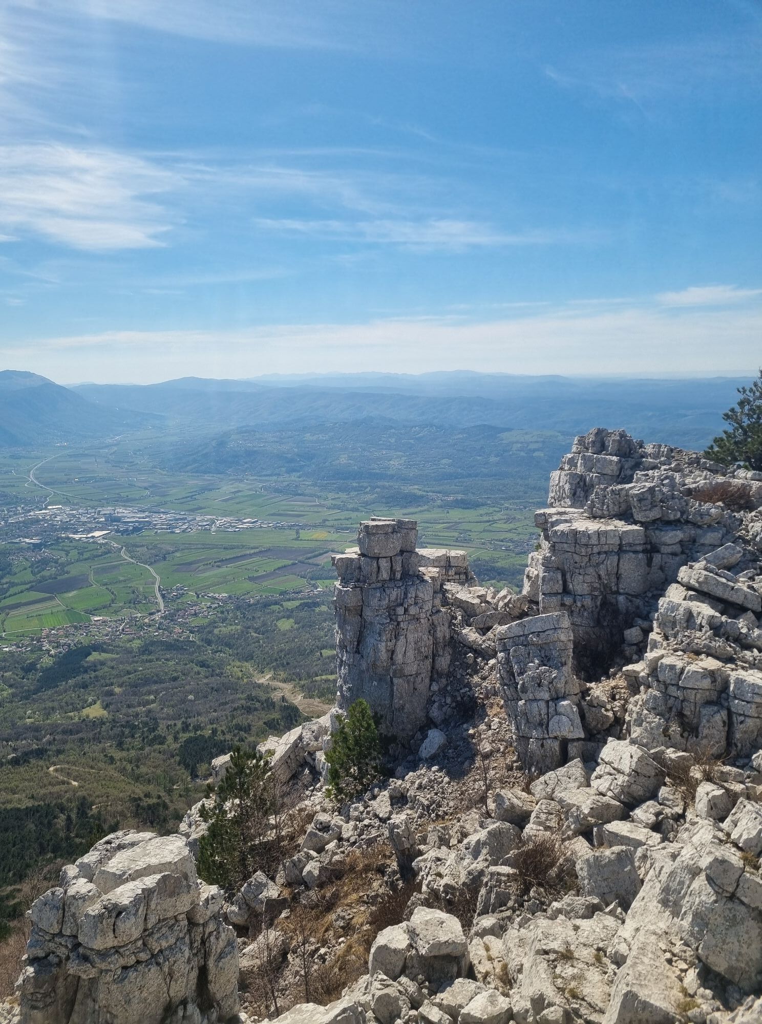
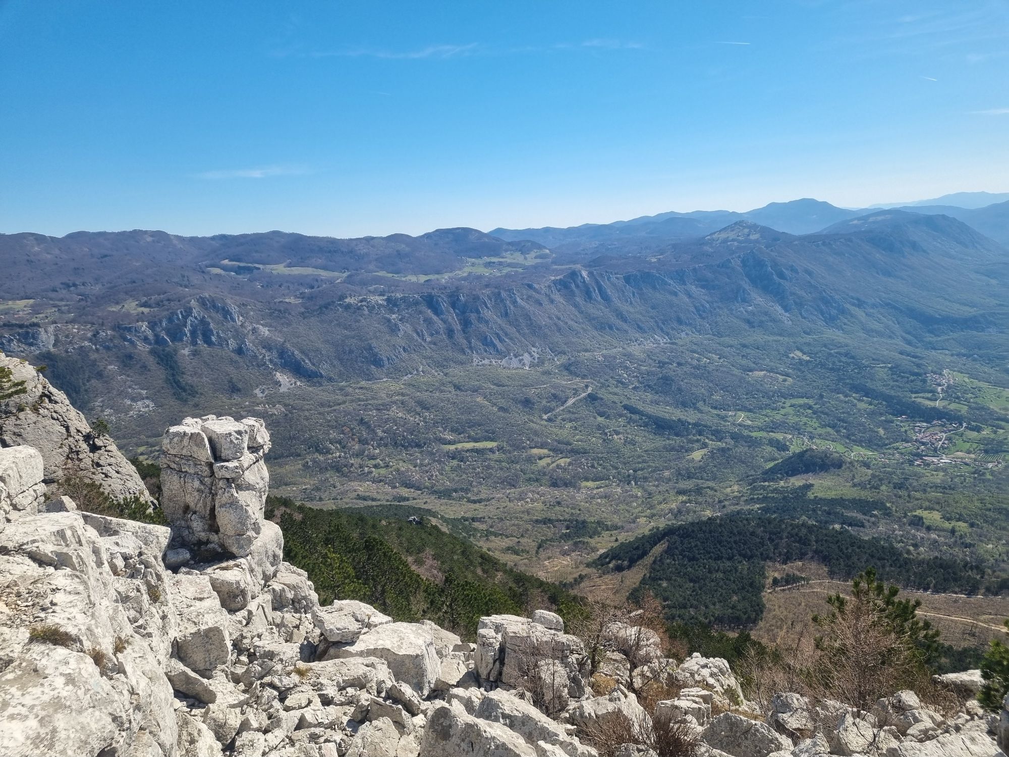
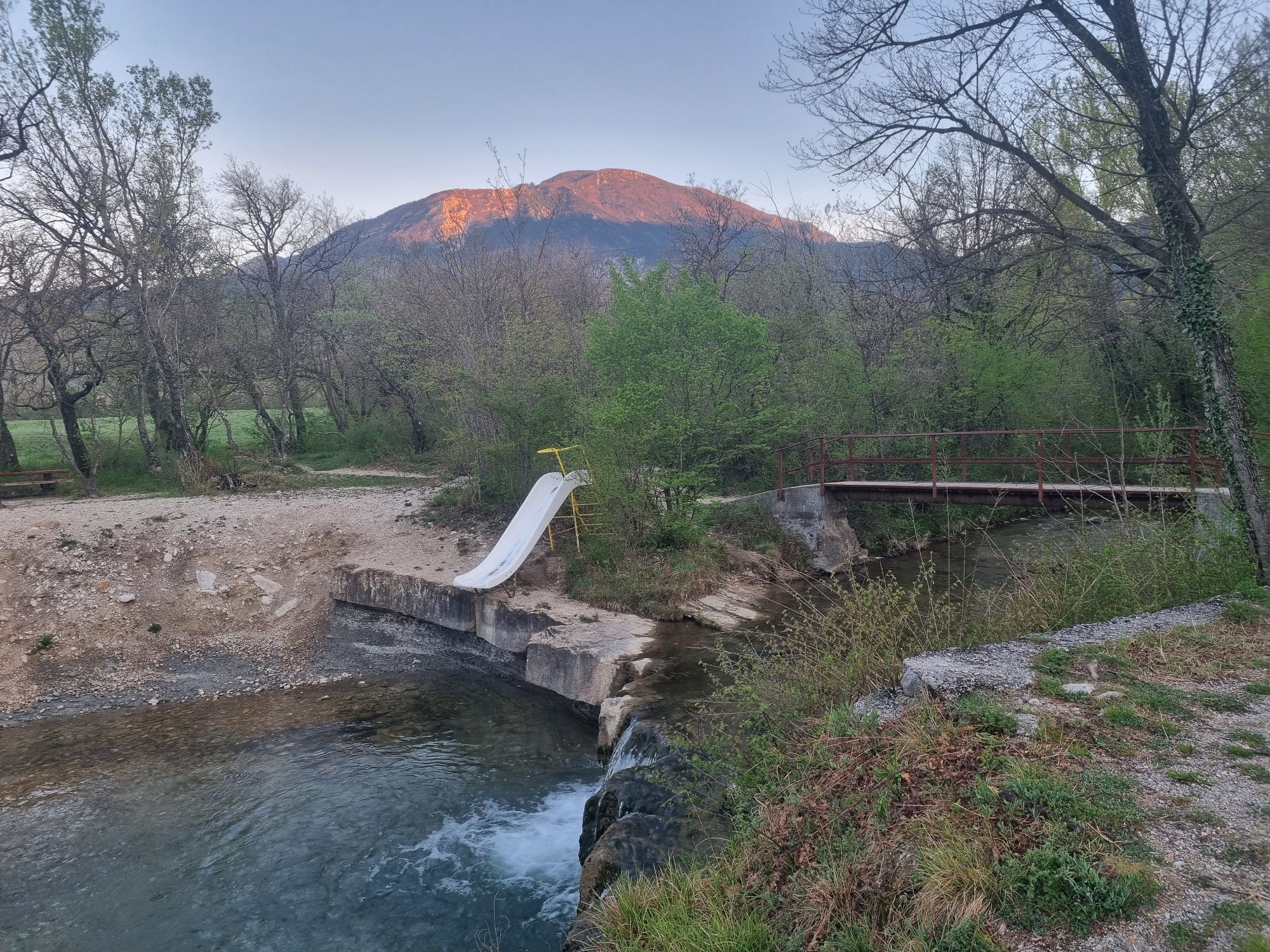
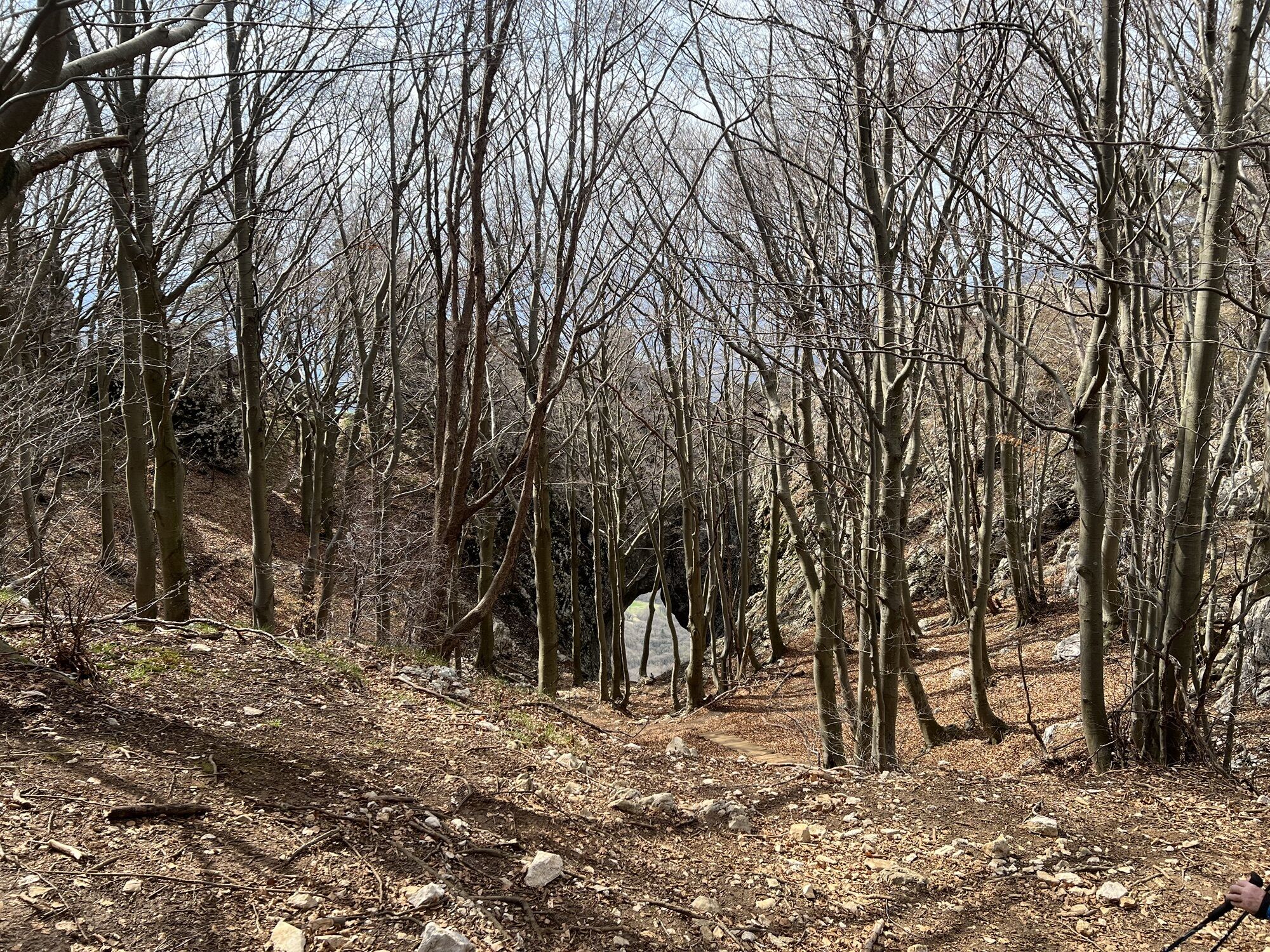
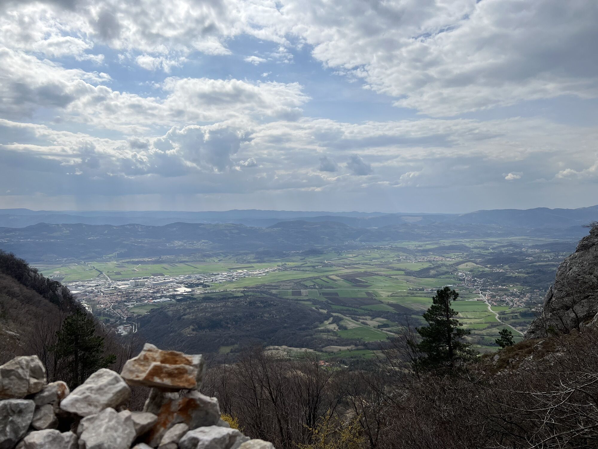
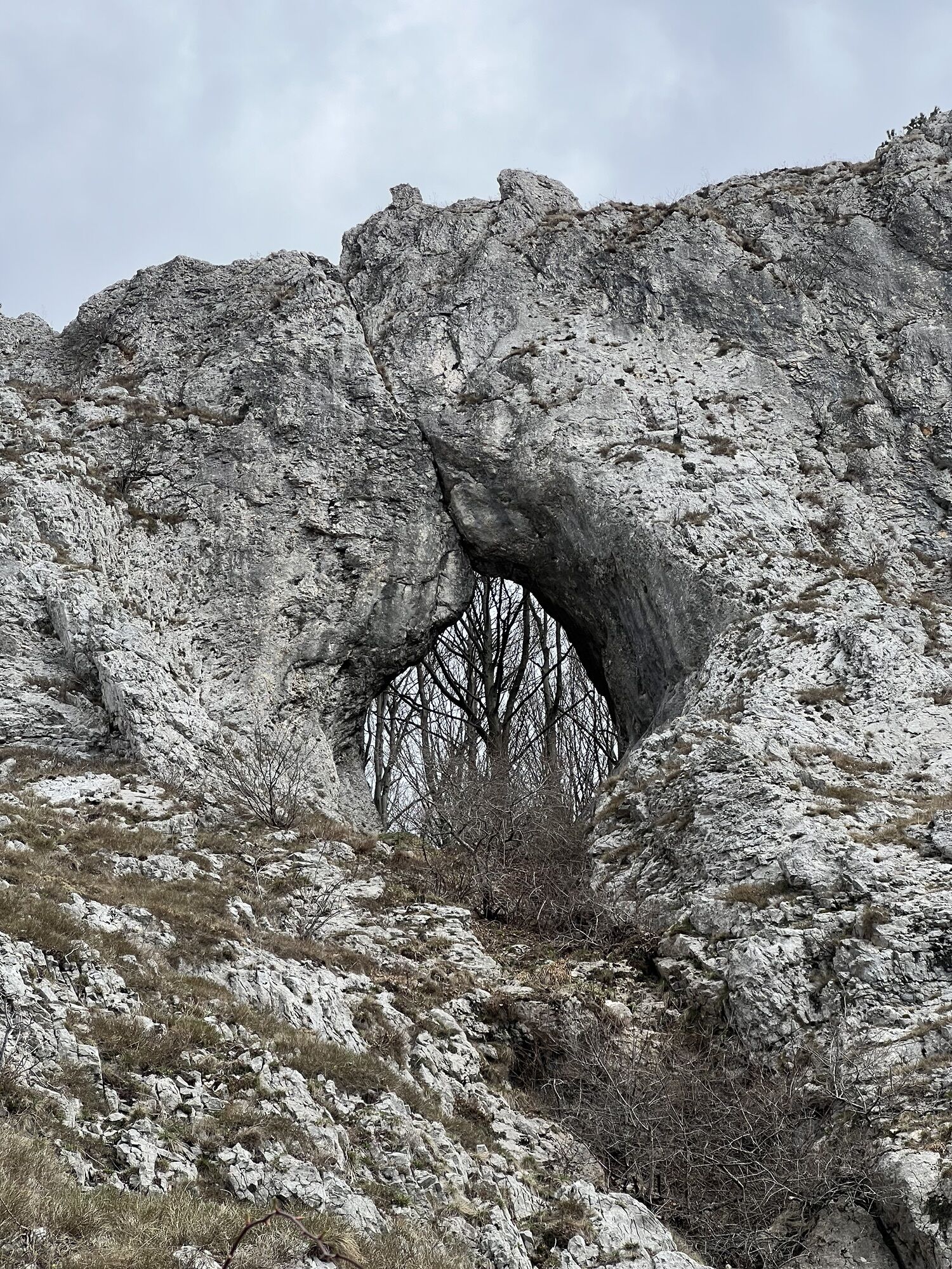
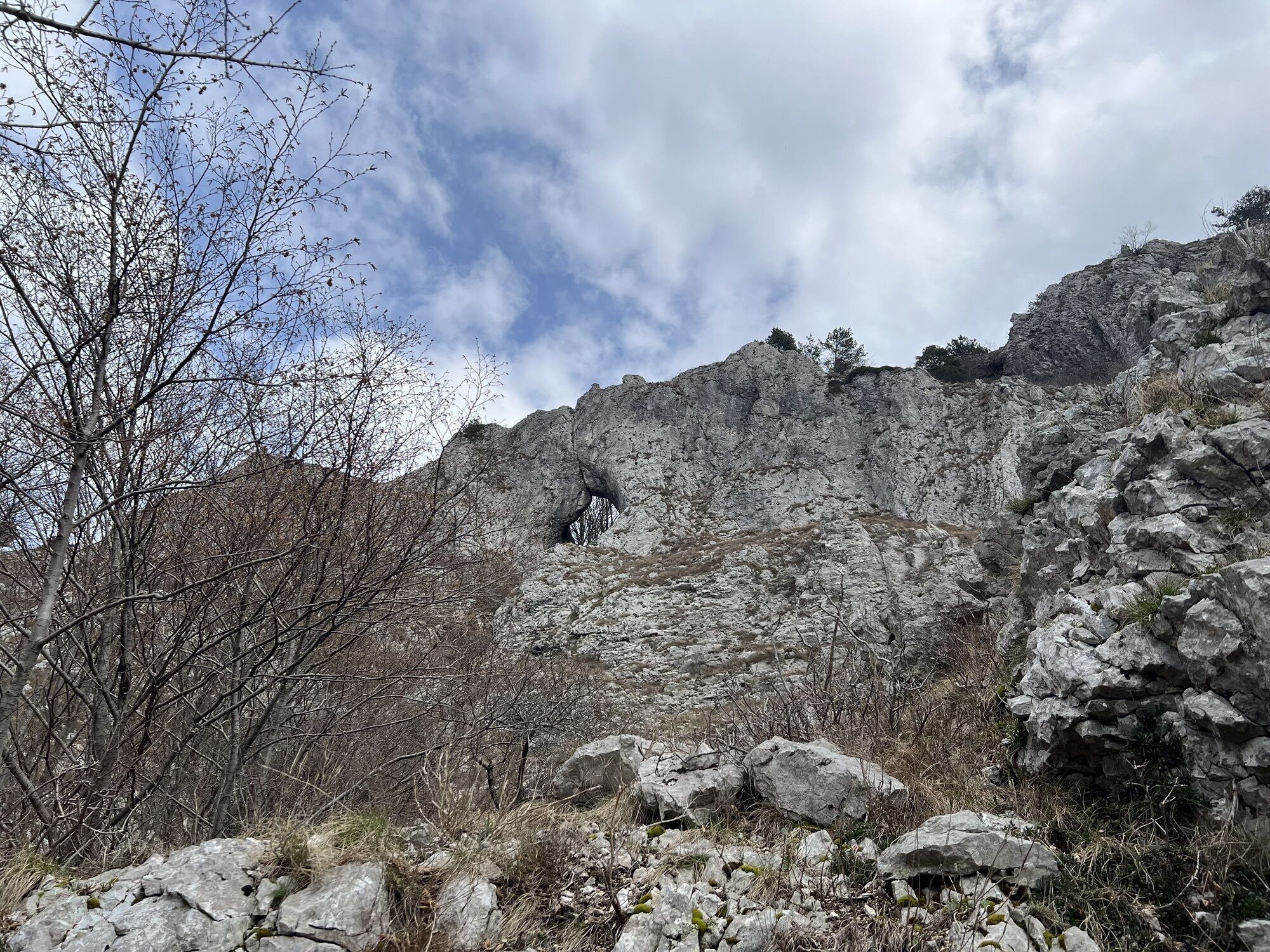
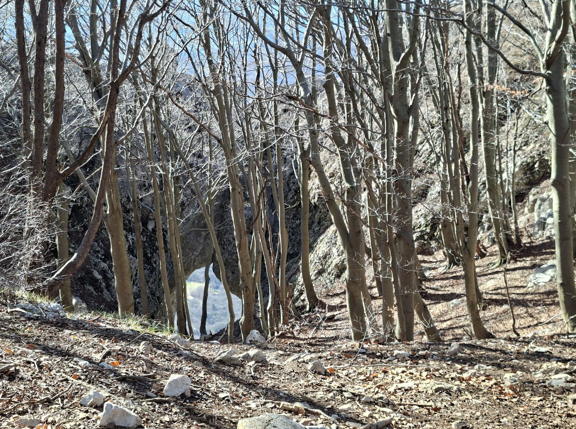
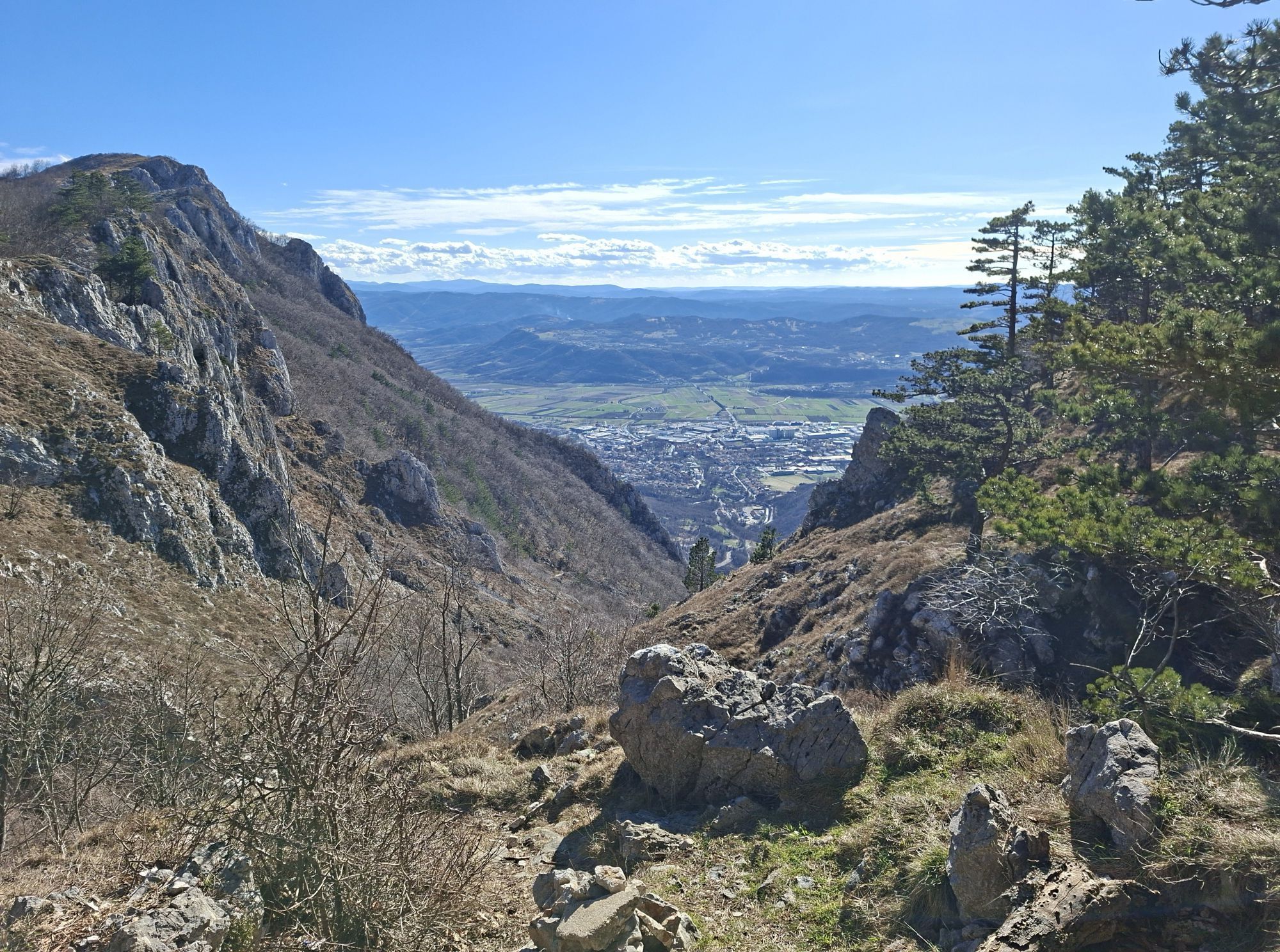
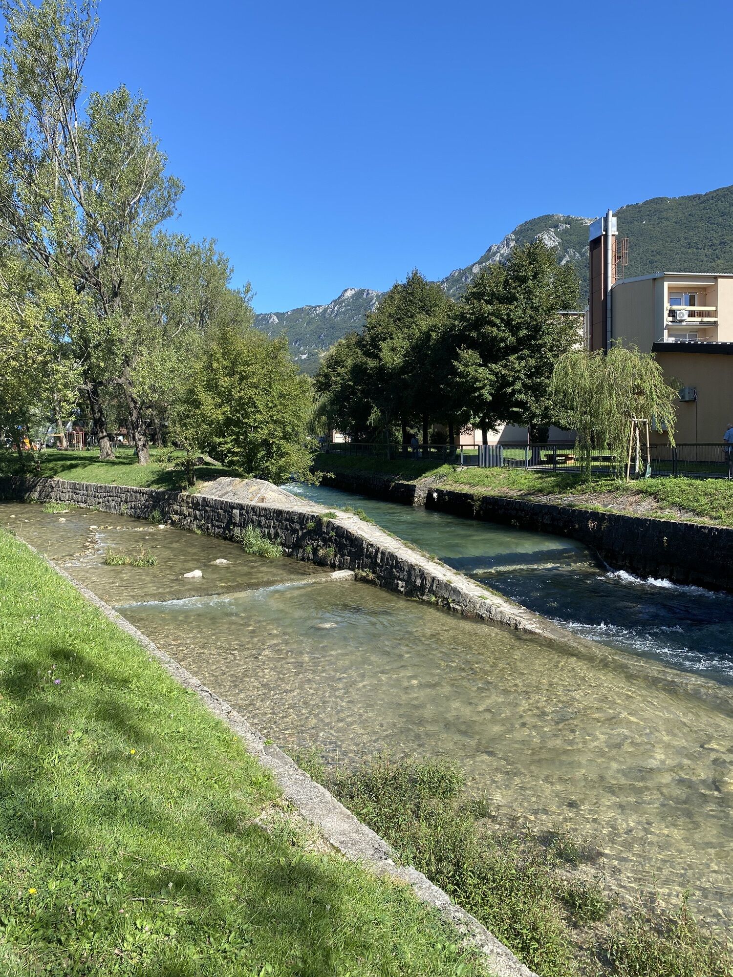
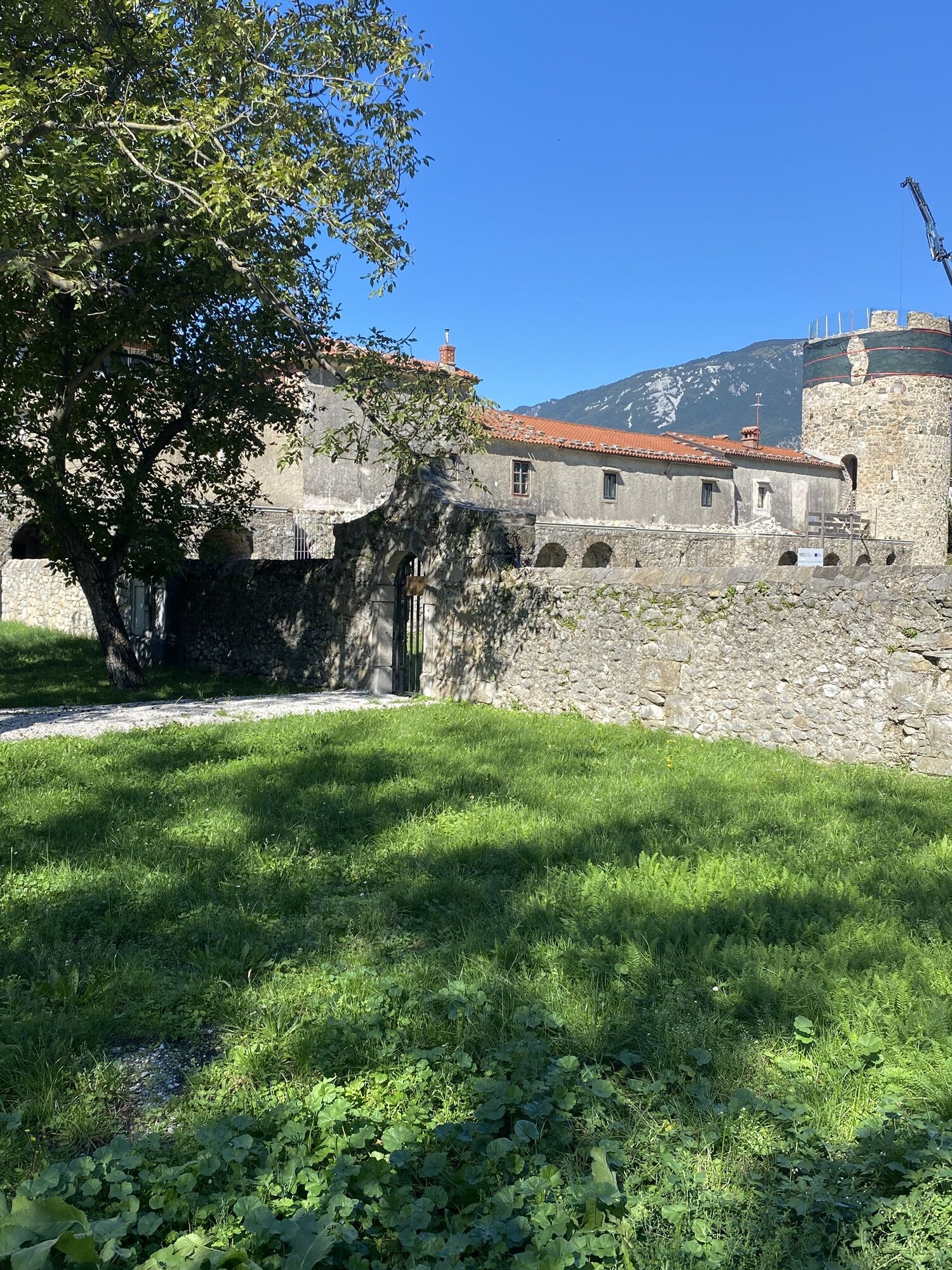
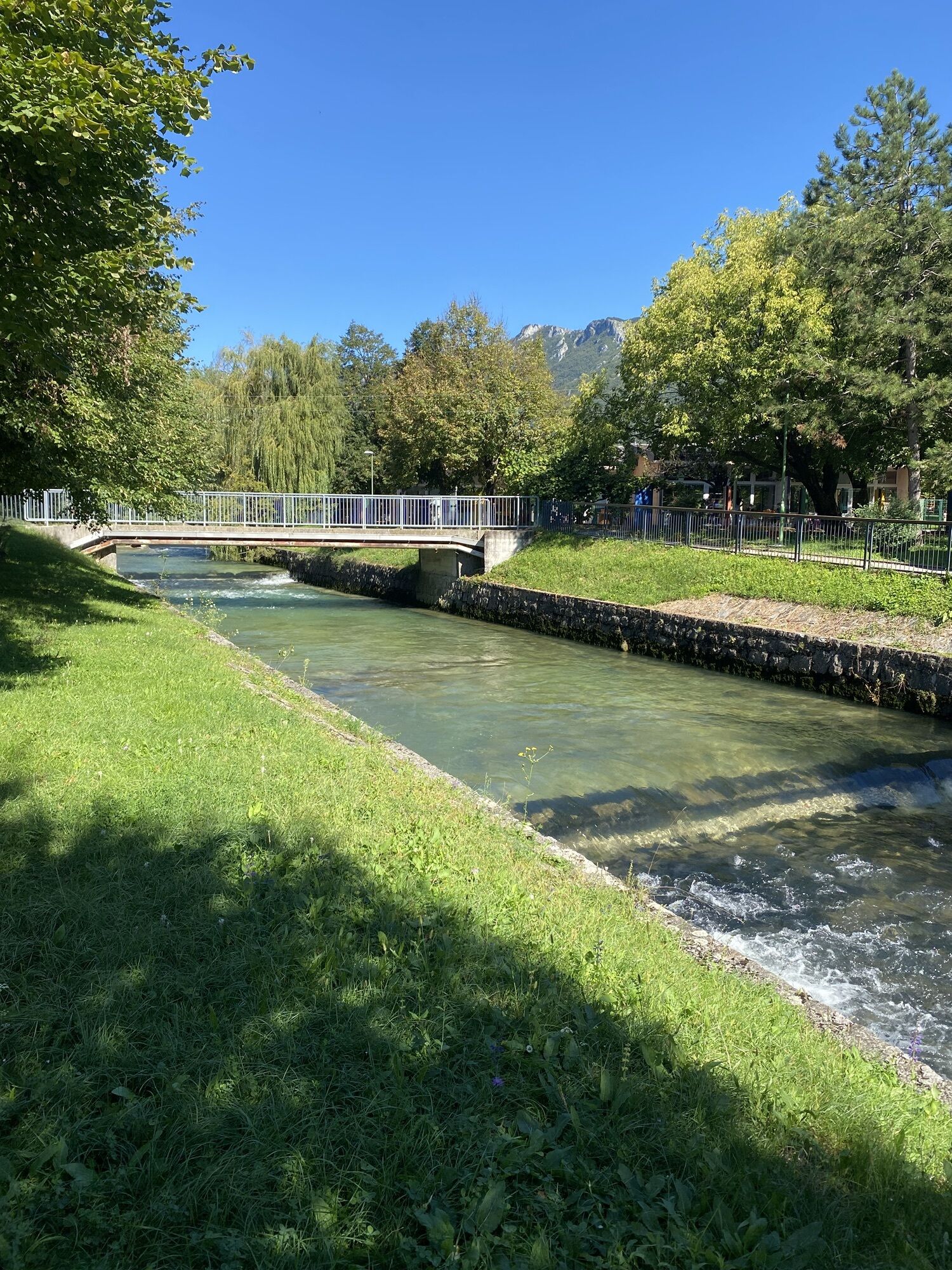
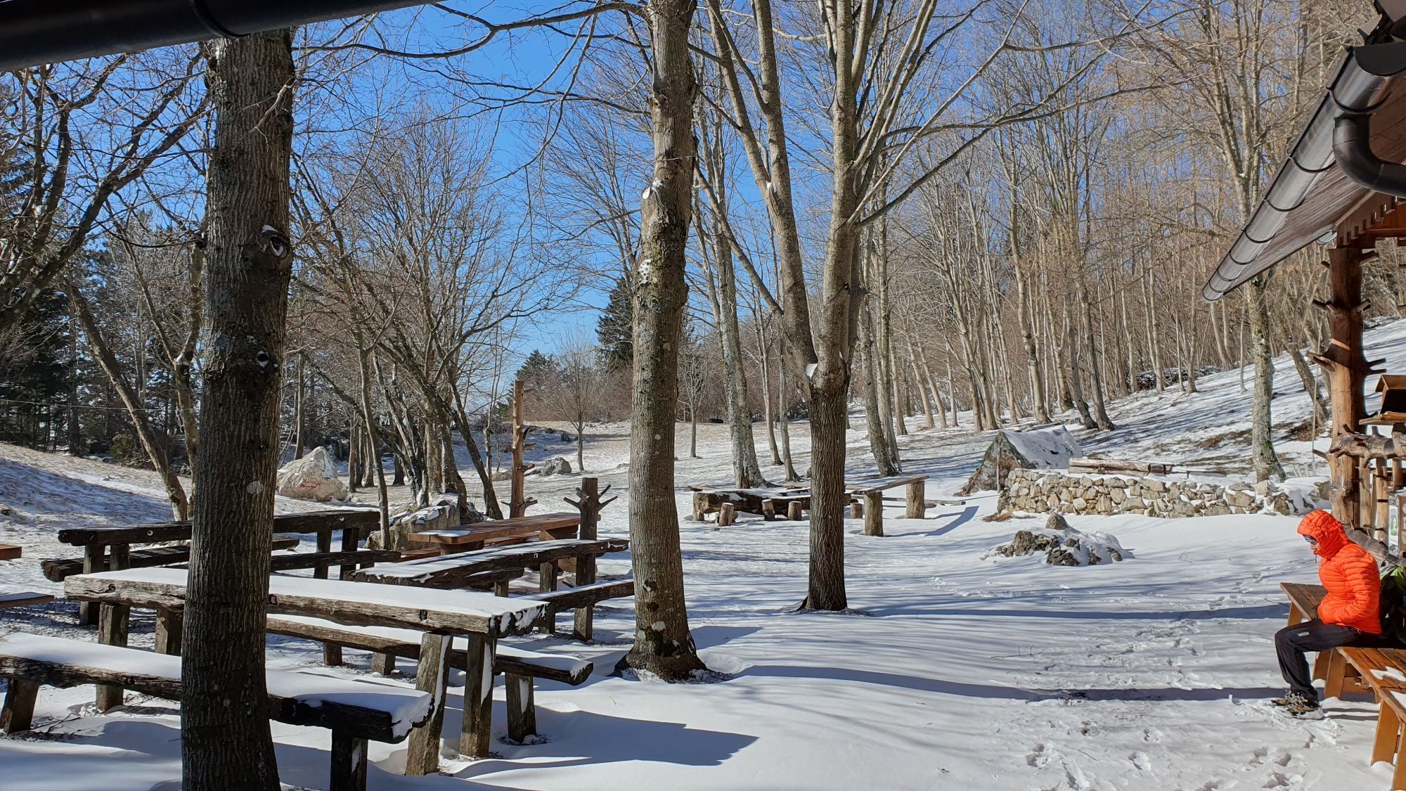
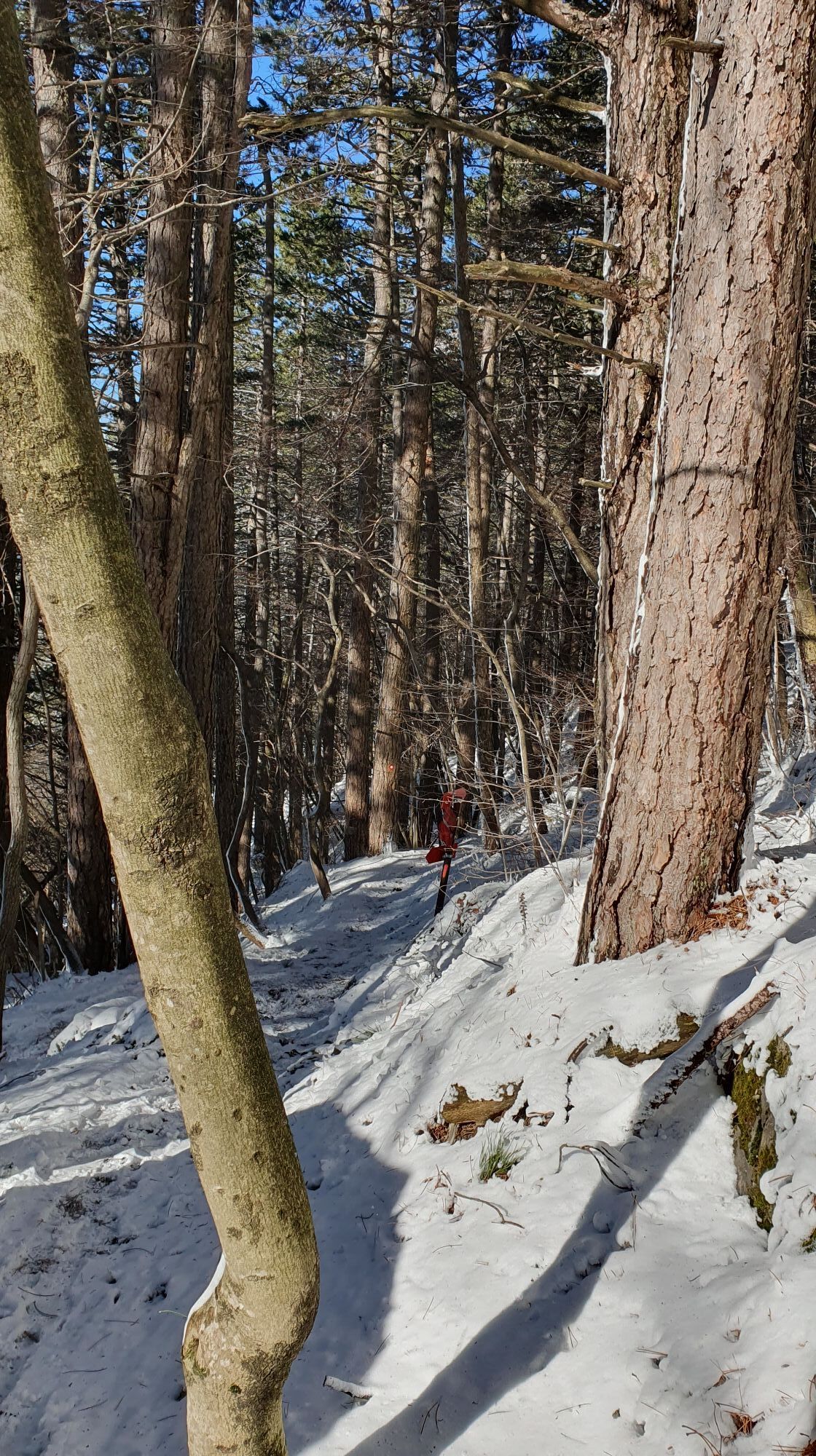
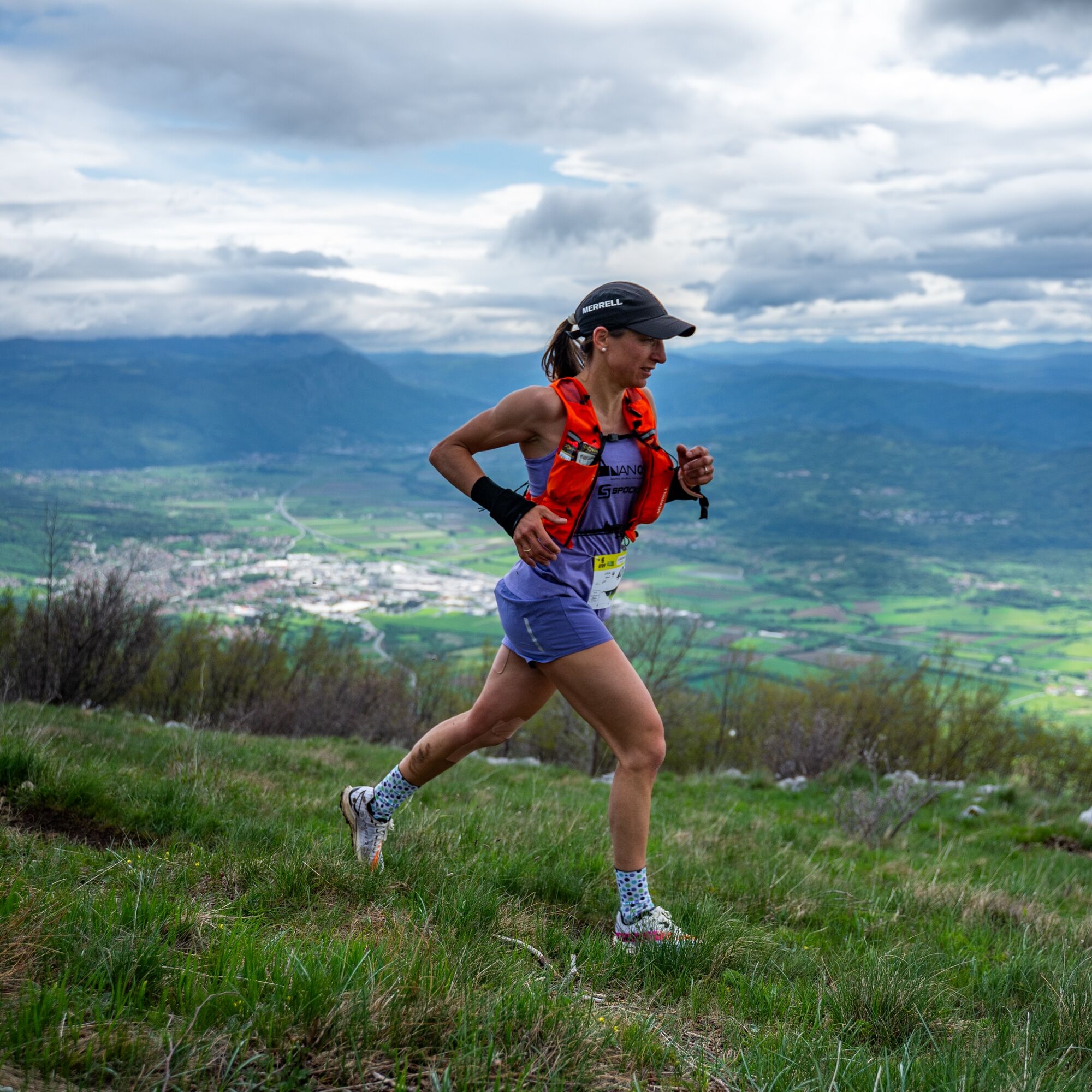
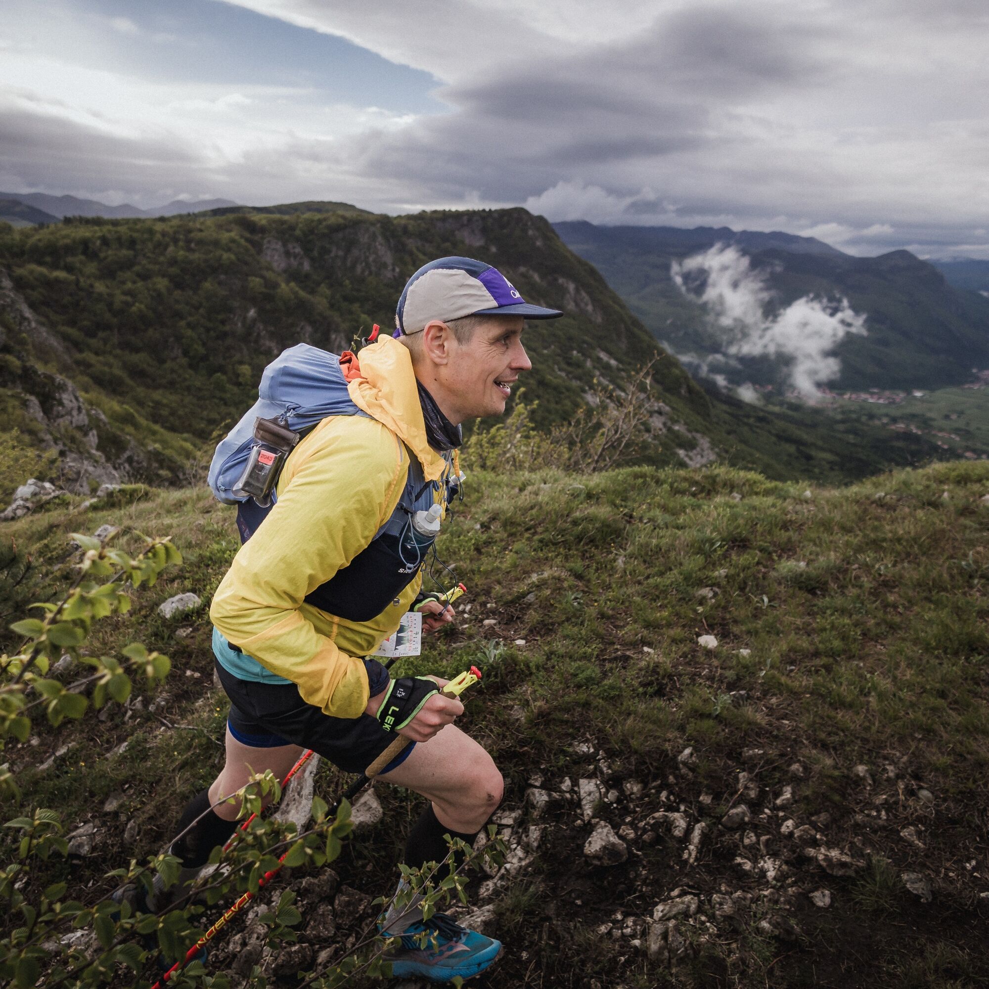
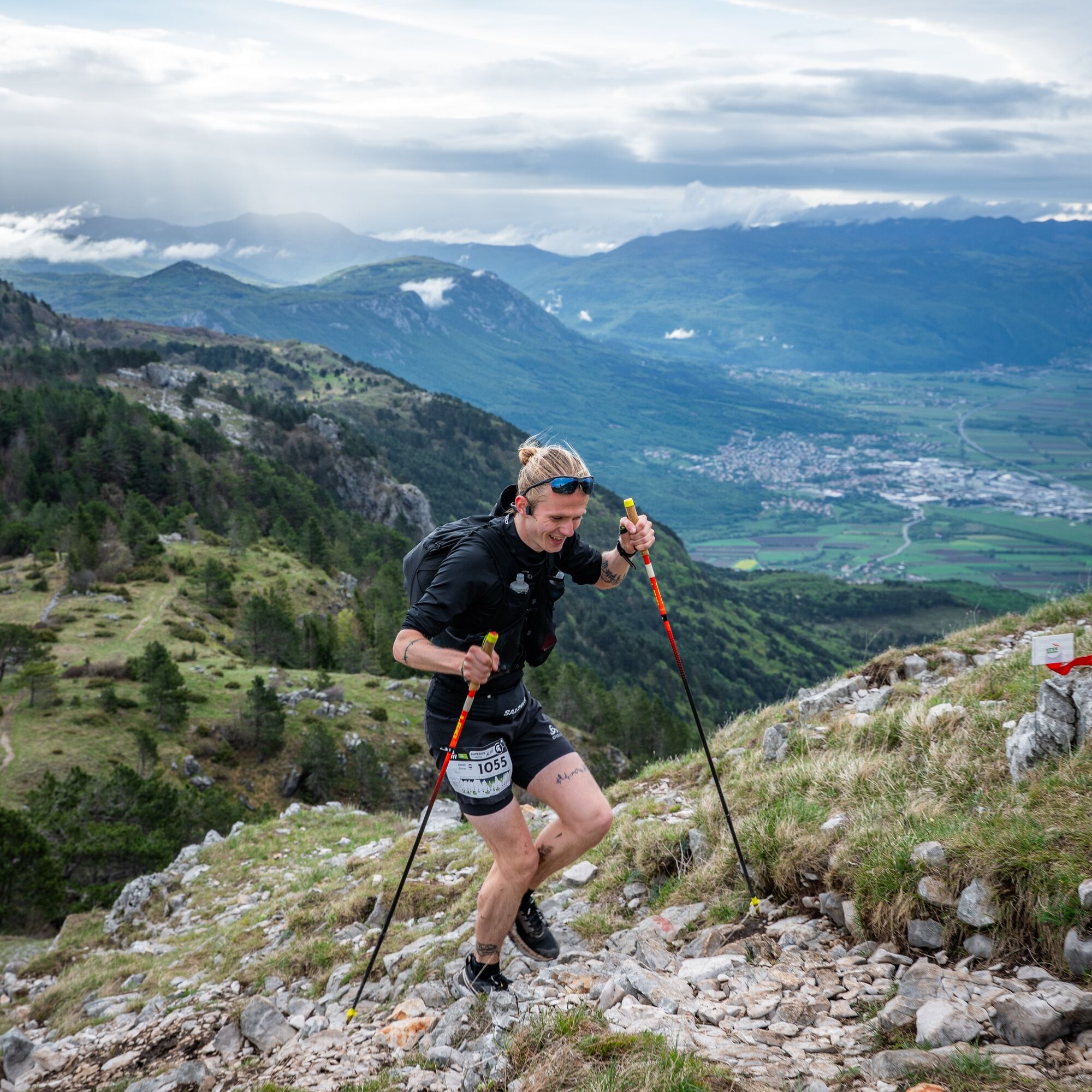
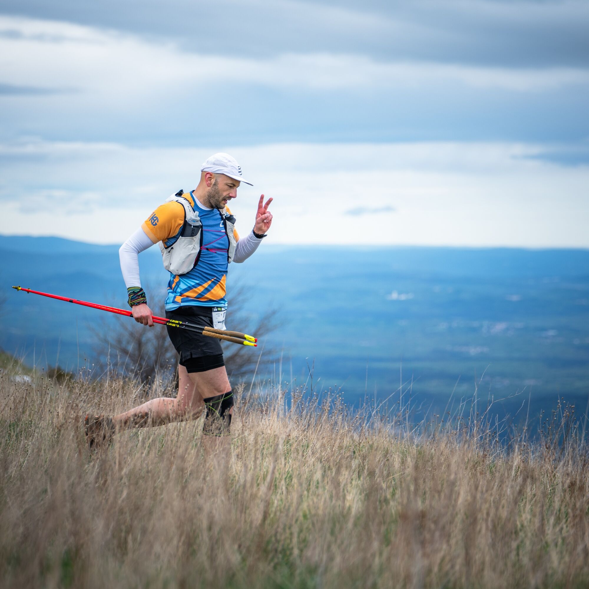
The 30 km Legionar route offers a scenic journey through the heart of the Vipava Valley, combining panoramic ridgelines, shaded forest trails and open karst terrain shaped by the powerful Burja wind.
Starting...
The 30 km Legionar route offers a scenic journey through the heart of the Vipava Valley, combining panoramic ridgelines, shaded forest trails and open karst terrain shaped by the powerful Burja wind.
Starting in the valley floor, the trail quickly climbs onto exposed limestone slopes, revealing wide views across vineyards, historic villages and the surrounding peaks. The route follows a mix of runnable sections and more technical rocky paths, creating a dynamic and varied experience.
Designed for experienced hikers and trail runners, Legionar delivers a compact yet authentic taste of the UTVV terrain. It is the perfect way to discover the wild beauty, culture and landscapes that define Vipava Valley — all within a rewarding 30 km adventure.


Start – AjdovšÄina (0 km) Easy start through town, then towards the Hubelj spring.
Hubelj – Podrta Gora (≈ 7 km) Steep climb to Podrta Gora (825 m) – Aid Station 1.
Podrta Gora – Otlica (≈ 13 km) Join the longer UTVV routes and follow the panoramic ridgeline of Angelska Gora (long ridge running above the valley) to Otlica – Aid Station 2.
Otlica – Mala Gora (≈ 23 km) Continue along the high terrain to Mala Gora – Aid Station 3.
Mala Gora – Lokavec (≈ 28 km) Route turns back towards the valley with a major descent (~1,000 m) down to Lokavec.
Lokavec – Finish AjdovšÄina (≈ 31 km) Flat run for ~5 km on paved paths along the LokavšÄek stream back to the finish in AjdovšÄina.
Key checkpoints / Aid stations (official race)
AjdovšÄina (Start) – 0 km
Podrta Gora – ~7 km
Otlica – ~13 km
Mala Gora – ~23 km
AjdovšÄina (Finish) – ~31 km
Ja
Ja
Ja
Trail running shoes (or hiking) with good grip (rocky and potentially muddy descent)
Lightweight windproof jacket (Burja wind exposure)
Sun protection (hat, sunglasses, sunscreen)
Minimum 1–1.5 L of water, especially in summer
Energy snacks
Mobile phone with offline map or GPS device
In hot conditions, consider additional electrolytes and start early to avoid peak temperatures.
This route includes a steep ascent in the first section and a long descent towards Lokavec, which can be slippery and muddy, especially after rain.
The exposed ridgeline offers little shade and can be very hot in summer. Strong Burja wind may affect balance on open sections.
Rocky terrain requires good footing and appropriate trail shoes. Water sources are limited along the ridge — plan hydration carefully.
Always check the weather forecast before starting and adjust your plans according to conditions.
AjdovšÄina is located in western Slovenia, in the heart of the Vipava Valley.
From Ljubljana (approx. 1 hour), take the A1 motorway towards Koper and exit at AjdovšÄina. From Nova Gorica (approx. 30 minutes), follow the H4 expressway towards Ljubljana and exit at AjdovšÄina. From Italy (Trieste, approx. 45 minutes), drive via the FernetiÄi border crossing towards Sežana and continue on the H4 expressway to AjdovšÄina.
AjdovšÄina is clearly signposted and easily accessible from all major directions.
Vipava Valley is accessible by regular bus connections from Ljubljana and Nova Gorica. AjdovšÄina, the start and finish location of the Legionar route, is well connected by regional bus lines.
Several villages along the valley floor are also served by local buses, which can be useful for shorter sections or flexible planning.
Timetables may vary on weekends and public holidays, so checking connections in advance is recommended.
Public parking is available in AjdovšÄina near the town center, sports park and main event areas. Both free and paid parking options are available within walking distance of the start and finish location.
During major events or peak periods, parking availability may be limited, so arriving early is recommended.
T2
Start conservatively — the first climb is demanding and sets the rhythm for the day. Take time to enjoy the panoramic views from the ridge above Vipava Valley.
In summer, begin early to avoid heat exposure on the open sections. After rain, expect a slippery descent towards Lokavec.
Reward yourself at the finish with local food or a glass of Vipava Valley wine — you’ve earned it.
A steep climb comes early in the route. The ridge can be hot in summer and is more technical than the elevation profile suggests. Watch for the steep, sometimes muddy descent to Lokavec.
Beliebte Touren in der Nähe
-
3,7
Weg zur natürlichen Steinbrücke Skozno
leichtWanderung 5,62 km -
4,0
Das Felsenfenster von Otlica
mittelWanderung 10,5 km -
Gradiška Tura (Klettersteig) – Bauernhof Abram
schwerKlettersteig 11,9 km -
5,0
Weg am Rand
leichtWanderung 14,5 km -
Auf dem Naturlehrpfad am Hubelj entlang
leichtWanderung 3,79 km -
2,0
Oberes Vipava-Tal
leichtRadfahren 34,2 km -
Auf den Spuren von Vertovec
leichtWanderung 17,7 km -
Rundweg Skrlanka
leichtWanderung 5,75 km -
5,0
Vipava - Oltar - Gradiška Tura
mittelWanderung 3,85 km -
Rundwanderweg von Vitovlje
mittelWanderung 7,80 km
Wandern & Tracking


Verpasse keine Angebote und Inspirationen für deinen nächsten Urlaub
Deine E-Mail-Adresse wurde in den Verteiler eingetragen.





