
Park View - Our Lady of the Valley - Cúm an Easpaig - Killarney
schwer
Hol diese Tour auf dein Handy
Park View - Our Lady of the Valley - Cúm an Easpaig - Killarney
schwer
Radfahren
238,16
km
QR-Code scannen und Navigation in der bergfex App beginnen


Wandern & Tracking



Park View - Our Lady of the Valley - Cúm an Easpaig - Killarney
schwer
Distanz
238,2
km
Dauer
18:15
h
Aufstieg
2.606
hm
Seehöhe
-
m

Navigiere deine Tour in der App
Installiere die App kostenlos und behalte die Strecke im Blick, mit GPS-Navigation und Tracking.
Nutze bergfex jetzt in der App
Scanne den QR-Code mit deiner Kamera
Ist die App installiert, öffnet sich der Inhalt direkt. Hast du die App noch nicht, gelangst du zum kostenlosen Download.
Track-Download
Park View - Our Lady of the Valley - Cúm an Easpaig - Killarney
schwer
Radfahren
238,16
km
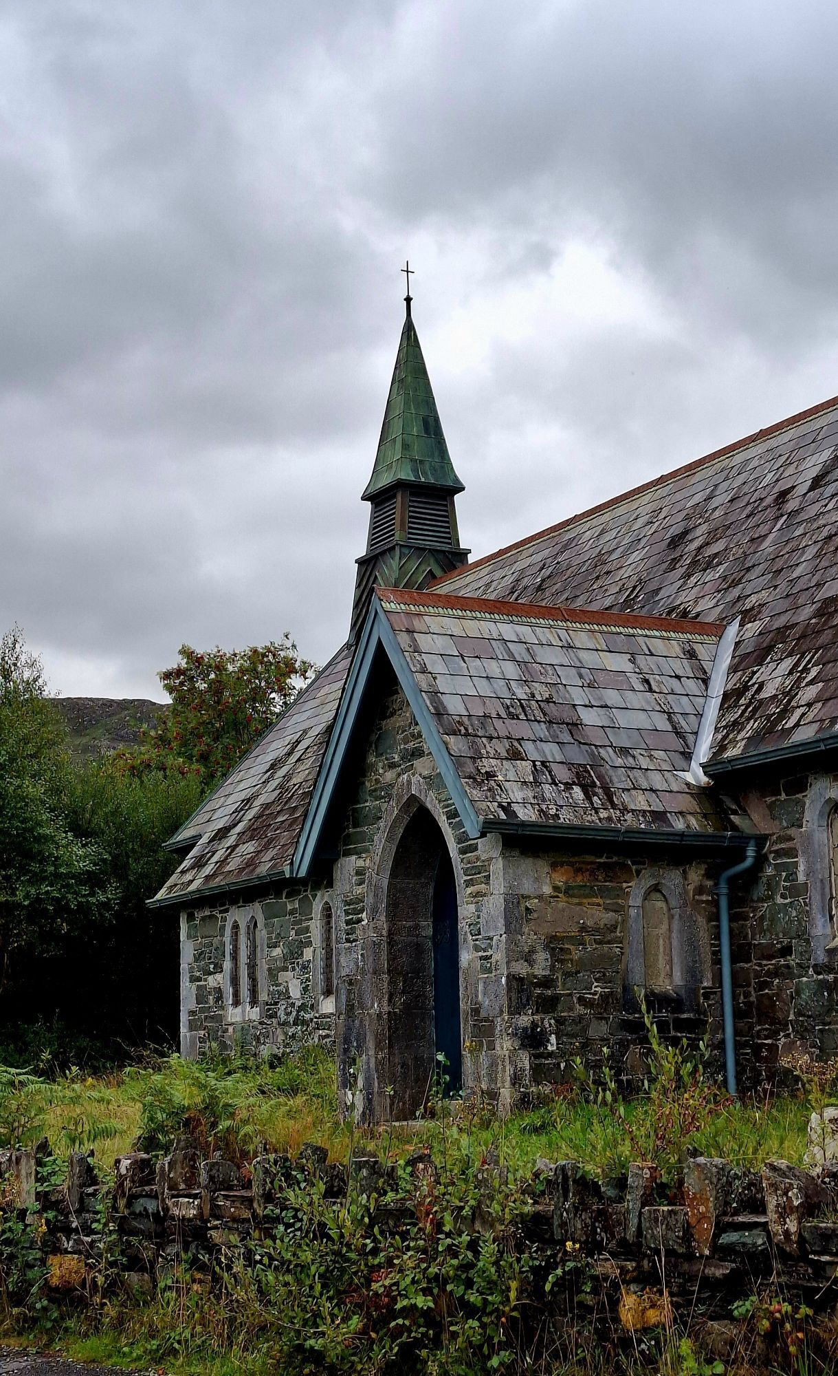


Wegverlauf
Gap of Dunloe
(237 m)
Gebirgspass
20,9 km
Moll's Gap
(262 m)
Gebirgspass
35,4 km
St Crohans Church
(31 m)
Andachtsstätte
101,8 km
Cúm an Easpaig
(251 m)
Gipfel
147,6 km
St. John the Baptist
(22 m)
Andachtsstätte
163,0 km
Daniel O'Connell Memorial Church of the Holy Cross
(18 m)
Andachtsstätte
169,0 km
St. James' Church
(20 m)
Andachtsstätte
213,9 km
Wegverlauf
Park View - Our Lady of the Valley - Cúm an Easpaig - Killarney
schwer
Radfahren
238,16
km
Park View
(23 m)
Restaurant
0,0 km
Saint Mary's (CoI)
(31 m)
Andachtsstätte
1,9 km
Killarney
(32 m)
Stadt
2,4 km
Gortroe
(30 m)
Siedlung
6,4 km
The Golden Nugget
(32 m)
Restaurant
8,0 km
Fossa
(31 m)
Siedlung
8,5 km
Kate Kearney's Cottage
(59 m)
Restaurant
14,8 km
Head of Dunloe
(238 m)
Aussichtspunkt
20,8 km
Gap of Dunloe
(237 m)
Gebirgspass
20,9 km
Our Lady of the Valley
(81 m)
Andachtsstätte
23,3 km
Crossderry
(118 m)
Flur/Gelände
31,5 km
Moll's Gap
(262 m)
Gebirgspass
35,4 km
Ladies View
(143 m)
Aussichtspunkt
41,5 km
Kenmare
(11 m)
Stadt
51,6 km
Holy Cross Church
(7 m)
Andachtsstätte
52,2 km
Greenane
(9 m)
Flur/Gelände
58,1 km
Templenoe
(27 m)
Dorf
59,3 km
Derreendarragh
(50 m)
Flur/Gelände
66,1 km
Our Lady of Perpetual Help
(72 m)
Andachtsstätte
66,5 km
Gearha Bridge
(42 m)
Flur/Gelände
68,9 km
Brackloon
(143 m)
Flur/Gelände
76,1 km
Scrahanagaur
(40 m)
Siedlung
79,9 km
Sneem
(9 m)
Dorf
80,9 km
Church of the Transfiguration
(10 m)
Andachtsstätte
81,1 km
Castlecove
(11 m)
Siedlung
94,8 km
O’Carrolls Cove
(5 m)
Restaurant
99,4 km
Caherdaniel
(34 m)
Dorf
101,7 km
St Crohans Church
(31 m)
Andachtsstätte
101,8 km
St Crohans Church
(31 m)
Andachtsstätte
110,6 km
Caherdaniel
(34 m)
Dorf
110,7 km
Scarriff Inn
(172 m)
Restaurant
115,5 km
Mary Immaculate Church (Lóthar)
(97 m)
Andachtsstätte
120,1 km
The Lobster
(8 m)
Restaurant
123,8 km
Waterville
(8 m)
Dorf
124,0 km
Church of Saint Finian
(29 m)
Andachtsstätte
126,2 km
New Chapel Cross
(27 m)
Flur/Gelände
126,5 km
Inny Bridge
(4 m)
Flur/Gelände
127,1 km
St Michaels Church Dún Geagáin
(41 m)
Andachtsstätte
134,3 km
Ballinskelligs
(19 m)
Dorf
137,0 km
Cúm an Easpaig
(251 m)
Gipfel
147,6 km
Tobairin Holy Well
(193 m)
Quelle
147,8 km
Portmagee
(5 m)
Dorf
151,5 km
Viewpoint
(34 m)
Aussichtspunkt
154,1 km
Foilhomurrum
(31 m)
Flur/Gelände
154,2 km
Fuchsia
(17 m)
Restaurant
162,5 km
St. John the Baptist
(22 m)
Andachtsstätte
163,0 km
The Dwelling House
(14 m)
Restaurant
163,2 km
Knightstown
(8 m)
Dorf
163,4 km
Reenard Point
(3 m)
Flur/Gelände
163,4 km
O'Neill's The Point Seafood Bar
(5 m)
Restaurant
163,4 km
Reenard Cross
(39 m)
Flur/Gelände
166,2 km
Cahersiveen
(19 m)
Stadt
168,9 km
Daniel O'Connell Memorial Church of the Holy Cross
(18 m)
Andachtsstätte
169,0 km
Thatch cottage
(9 m)
Restaurant
172,3 km
Foilmore Bridge
(11 m)
Flur/Gelände
175,2 km
Reacaslagh
(67 m)
Flur/Gelände
180,7 km
Darby’s Bridge
(64 m)
Flur/Gelände
181,2 km
Mountain Stage
(75 m)
Aussichtspunkt
187,3 km
Kilkeehagh
(93 m)
Flur/Gelände
188,5 km
The Ross Inn
(11 m)
Restaurant
192,9 km
The Curra Restaurant
(28 m)
Restaurant
195,6 km
Glenbeigh
(29 m)
Dorf
195,7 km
Killorglin
(23 m)
Stadt
213,7 km
St. James' Church
(20 m)
Andachtsstätte
213,9 km
Ballymalis Bridge
(20 m)
Flur/Gelände
221,0 km
Fossa
(31 m)
Siedlung
230,2 km
The Golden Nugget
(32 m)
Restaurant
230,6 km
Gortroe
(30 m)
Siedlung
232,5 km
Killarney
(32 m)
Stadt
236,2 km


Noch keine Bewertungen
Beliebte Touren in der Nähe
-
5,0
An Fearann Iarthach - Bun an Bhaile
leichtWanderung 9,57 km -
Duichealla
mittelWanderung 7,51 km -
Caherdaniel - Sneem - Church of the Transfiguration
mittelWanderung 17,3 km -
Cahersiveen - Bentee - Tobar na mBan Fionn
mittelWanderung 9,39 km -
Reenard Cross - Bentee
mittelWanderung 7,29 km -
Cahersiveen - Tobar na mBan Fionn
mittelWanderung 14,7 km -
The Lobster - Knag - Coomduff - Caherdaniel
schwerWanderung 28,3 km -
Caherdaniel
mittelWanderung 16 km -
An Chillín Liath - Droichead Cillín Liath - Máistir Gaoithe - Séipéal Mhuire sa Ghleann
mittelWanderung 12,2 km -
An Chaisleach - Church of Saint Finian - Séipéal Mhuire sa Ghleann - An Chillín Liath
mittelRennrad 74,4 km
Wandern & Tracking

Über 550.000 Tourenvorschläge, detailliertes Kartenmaterial und ein intuitiver Routenplaner machen die App zum Must-have für alle Naturbegeisterten.

Verpasse keine Angebote und Inspirationen für deinen nächsten Urlaub
Zum Newsletter anmelden
Fehler
Ein Fehler ist aufgetreten. Bitte versuche es erneut.
Vielen Dank für deine Anmeldung
Deine E-Mail-Adresse wurde in den Verteiler eingetragen.
Touren in ganz Europa
Österreich
Schweiz
Deutschland
Italien
Slowenien
Frankreich
Niederlande
Belgien
Polen
Liechtenstein
Tschechien
Slowakei
Spanien
Kroatien
Bosnien und Herzegowina
Luxemburg
Andorra
Portugal
Island
Vereinigtes Königreich
Irland
Griechenland
Albanien
Nordmazedonien
Malta
Norwegen
Montenegro
Moldau
Kosovo
Ungarn
San Marino
Rumänien
Estland
Lettland
Belarus
Zypern
Litauen
Serbien
Bulgarien
Monaco
Dänemark
Schweden
Finnland
Touren in Irland
County Kerry
County Donegal
County Mayo
County Cork
County Kilkenny
County Carlow
County Waterford
County Wexford
County Meath
County Dublin
County Tipperary
County Kildare
County Louth
County Monaghan
County Roscommon
County Westmeath
County Longford
County Clare
County Galway
County Laois
County Leitrim
County Limerick
County Sligo
County Offaly
County Wicklow
County Cavan


