





Minett Cycle Preview: Segment Sanem-Bettembourg

In the south of Luxembourg lies the Minett region, the land of the red soil (Terre rouge), named after the ore-bearing rock in the soil, which also colors it red. In the future, a coherent, fully signposted...
In the south of Luxembourg lies the Minett region, the land of the red soil (Terre rouge), named after the ore-bearing rock in the soil, which also colors it red. In the future, a coherent, fully signposted bicycle tour will lead through the entire region: the "Minett Cycle". After 2023, a total of 150 kilometers (divided into three loops) of bicycle infrastructure should invite you to discover them.
Until then, you can already ride sections of the future "Minett Cycle" and discover sections of the unique Minett region. On this section, the path between Sanem and Bettembourg in the southern region leads right through the heart of the region; north past Esch-sur-Alzette, Lallange and Schifflange, and then on to Bettembourg, the route thus takes you past several important sites of the historic steel industry. For example, past the old industrial wasteland of the former "Metze Schmelz" with its "Cueva 2022" exhibition in Schifflange.
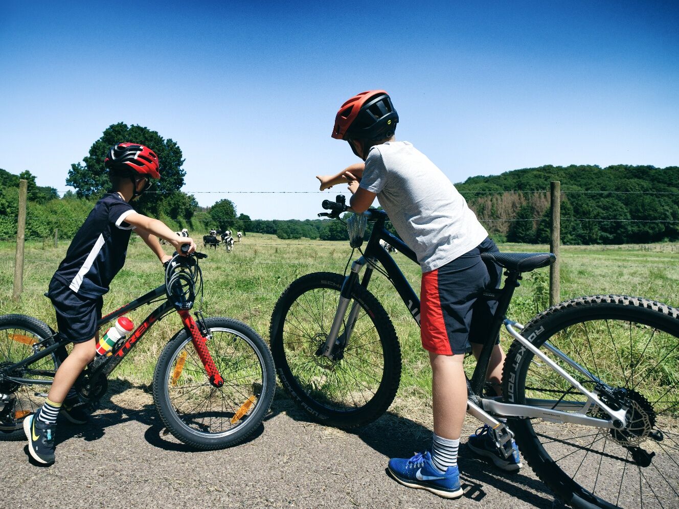
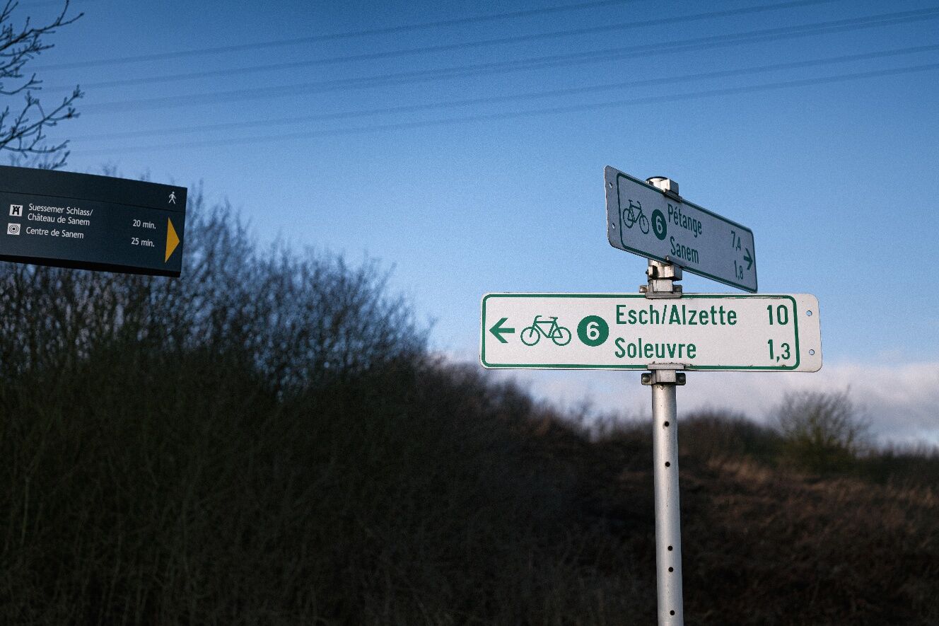

The path can be traveled in both directions and is signposted in both directions.
Remember to wear a helmet. Bring enough drinking water and food for the trail.
Nevertheless, please observe the rules of the road traffic regulations where your path crosses the road.
Bettembourg train station is well connected, with trains running across the region and to Luxembourg City. Public transport in Luxembourg is free.
Parking spaces are available at both start and end points.
Visit the old industrial hotspot and today's new district of Belval near Esch, just a short detour off the trail, or discover the fairy tale park near Bettembourg (there is a bus service from the train station to the park).
Beliebte Touren in der Nähe
Luxembourg, ville millénaire
mittelWanderung 11,5 kmPétange, Luxembourg, Prënzebierg-Giele Botter
leichtWanderung 8,48 kmBelvaux, Luxembourg, Autopédestre
leichtWanderung 9,32 kmTétange, Luxembourg Minettswee
leichtWanderung 9,21 kmMinett Cycle Preview: Segment Belvaux-Tétange
schwerRadfahren 19,0 kmMinett Cycle Preview Segment: Sanem-Kockelscheuer
mittelRadfahren 19,3 km- 4,0
Abweiler
mittelWanderung 8,86 km Käerjeng, Luxembourg
Wanderung 3,77 kmEhlénger Tour
leichtWanderung 7,65 kmPétange - Auberge de la Promenade - Mosquée Afnane Differdange - Differdange
mittelWanderung 15,7 km
Wandern & Tracking


Verpasse keine Angebote und Inspirationen für deinen nächsten Urlaub
Deine E-Mail-Adresse wurde in den Verteiler eingetragen.





