


Vilgrund and Haahkaluoto
The archipelago in Kristiinankaupunki is deservedly a part of Finland's Natura 2000 network. Several birds move to the islands or rest there on the way to new abodes. Extending for over 30 hectares, Haahkaluoto...
The archipelago in Kristiinankaupunki is deservedly a part of Finland's Natura 2000 network. Several birds move to the islands or rest there on the way to new abodes. Extending for over 30 hectares, Haahkaluoto is the largest island dominated by broad-leaved forests in the area.
On the way to Vilgrund and Haahkaluoto, you will pass Hemgrundet. It is an island where commercial counsellor, ship owner and consul Gustaf Hydén (1845–1929) built Villa Hemgrund and a square sauna in Mediterranean style. If you wish to admire them more closely, you are welcome to circumnavigate the island. Please note that landing is prohibited as the island is privately owned.
Are you familiar with the story of a ship’s bell at the city hall? In 1865, an English barque Lemuella hit the seabed off Haahkaluoto and wrecked later in the Archipelago Sea. As a result, the ship’s bell remained in Finland for over a century—yearning to return to the motherland. The wait drew to a close in 1982 when the director of the National Maritime Museum proposed a barter: Lemuella’s bell would return to England and Kristiinankaupunki would receive one of their own ship bells in return. The bell belonged to beforementioned Hydén’s brig Carl Gustaf which run aground on the coast of England in 1888. After serving as a school bell in Somerset for decades, a piece of Carl Gustaf finally returned home.
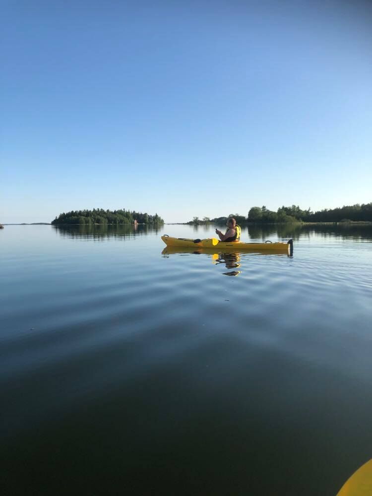
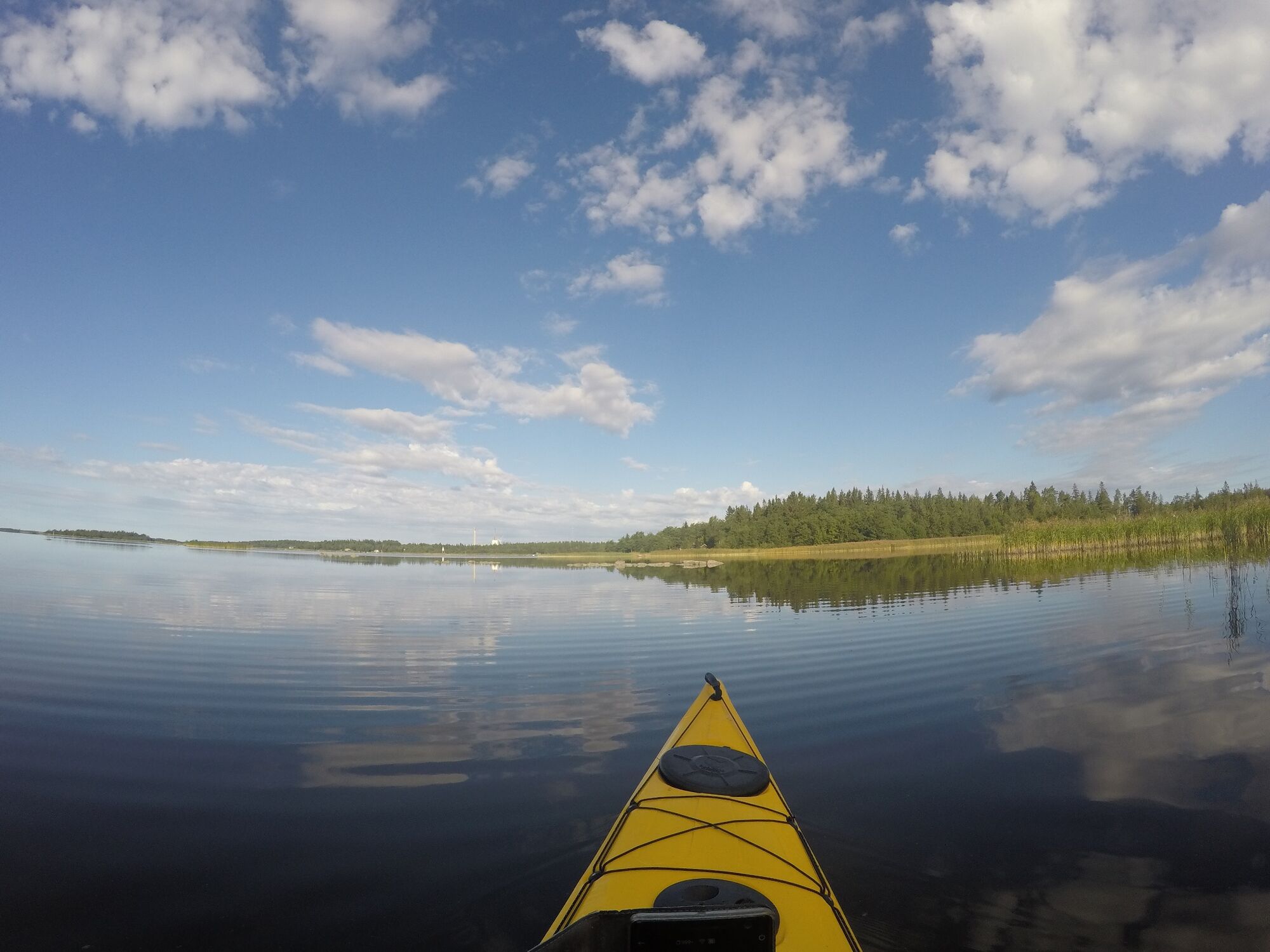
If you wish to rent a canoe, a kayak or a SUP-board, start your trip at the seaside on the West Side of the city. Along the promenade, you will find both Kristiinankaupunki Tourist Information and the rentable kayaks and SUP-boards. You can also rent a rowboat, Tyra.
Beliebte Touren in der Nähe
Cittago
mittelRadfahren 13,9 kmSt Olav Ostrobothnia (S), Henriksdal-Kristinestad
schwerPilgerweg 27,7 kmMurgrund and Österskäret
Kajak / Kanu 16,4 kmSkaftungleden
Kajak / Kanu 19,7 kmSkaftung's archipelago's northwestern areas
Kajak / Kanu 10,4 kmSkaftung – To the sea!
Kajak / Kanu 17,2 kmMemories from Skaftung's golden age
Kajak / Kanu 16,8 kmSkatan Tour
Kajak / Kanu 13,6 kmSt Olav Ostrobothnia (S), Kristinestad-Kaskö
schwerPilgerweg 28,1 kmBlue Trail
Wanderung 3,65 km

Wandern & Tracking


Verpasse keine Angebote und Inspirationen für deinen nächsten Urlaub
Deine E-Mail-Adresse wurde in den Verteiler eingetragen.