





Kymenkäänne Canoeing Route (Lahti/Kymijärvi – Vuolenkoski, approx. 50 km)

Schwierigkeitsgrad: 2
Kymenkäänne is a traditional and easily accessible canoeing route that winds through the water-shaped landscapes of the Salpausselkä UNESCO Global Geopark.
Kymenkäänne has been a popular route among local...
Kymenkäänne has been a popular route among local paddlers since the 1970s. The docks at the route’s starting and landing points, as well as the rest areas, have recently been renovated. Trees and vegetation along the smaller rivers have also been cleared, and new route signage has been installed.
The Kymenkäänne route consists of small lakes connected by short river sections. The smaller rivers account for approximately 11 km of the route, followed at the end by the wider, gently flowing Kymijoki River. The rivers have a moderate current, making them easy to paddle even without whitewater skills or previous experience of paddling in flowing water.
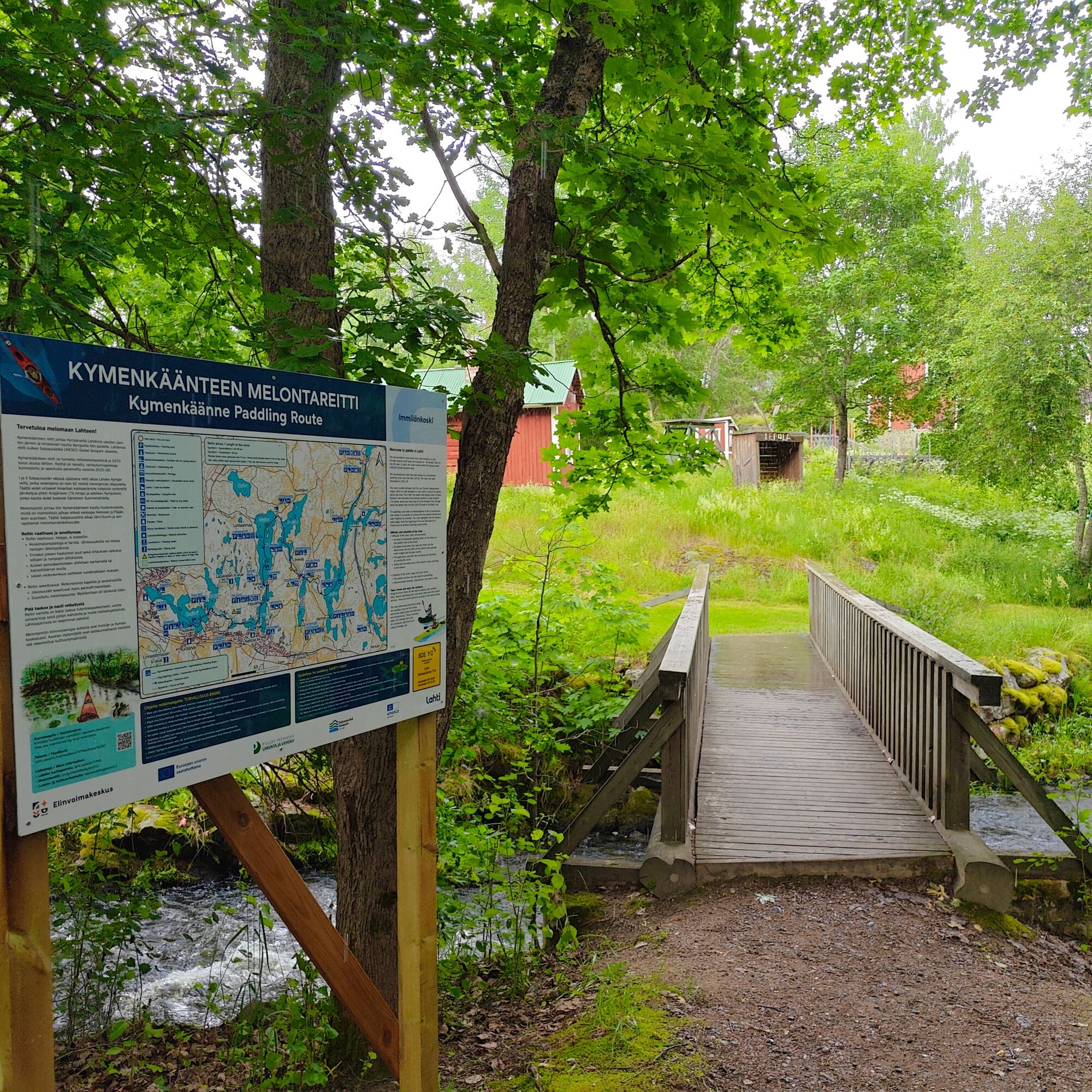
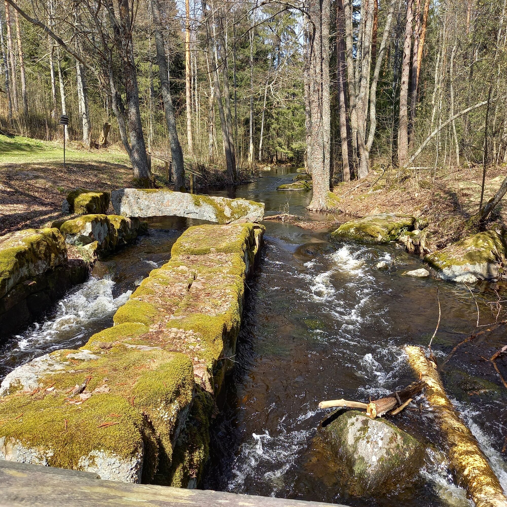
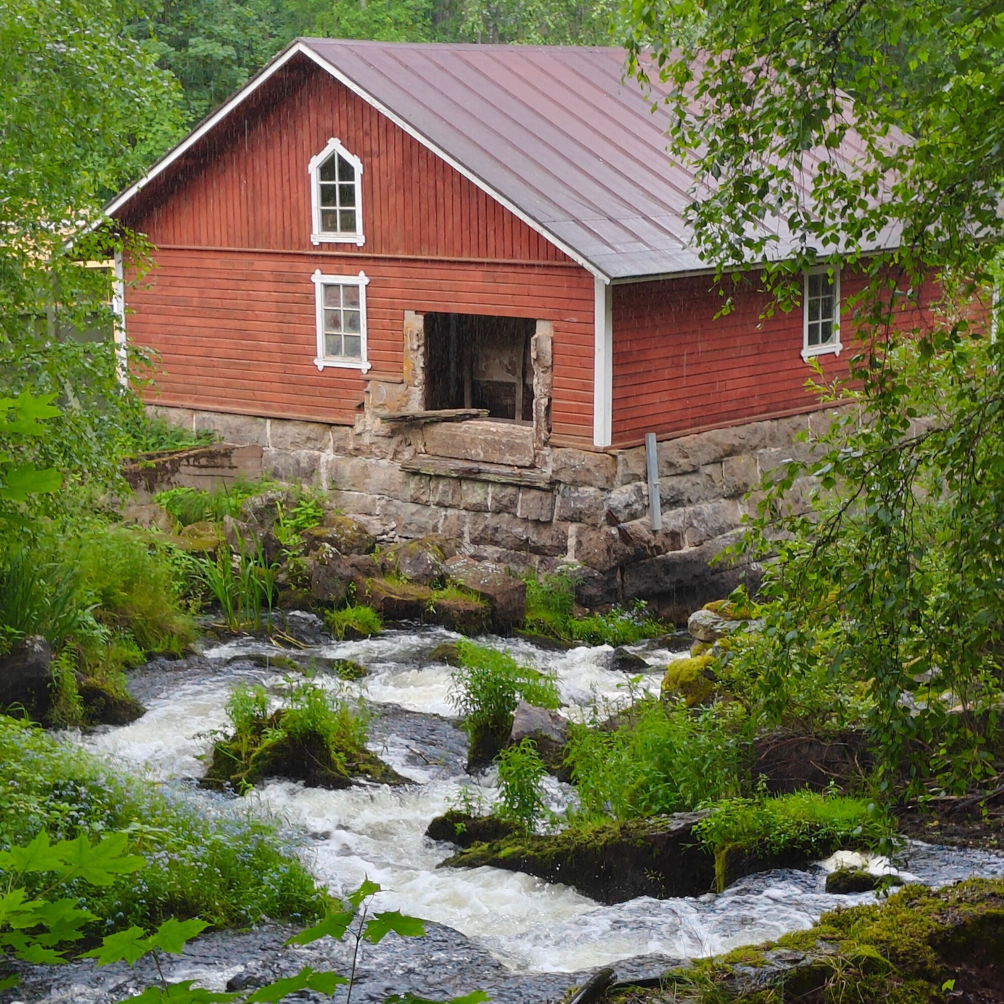
The route’s idyllic small rapids, Kumiankoski and Immilänkoski, are among its scenic highlights. Their long history of milling can still be seen in the surrounding landscape. The rapids themselves are dammed and therefore cannot be paddled. Instead, canoes and kayaks must be carried around them by land.
Along the route, you will find services such as cafés and beaches.

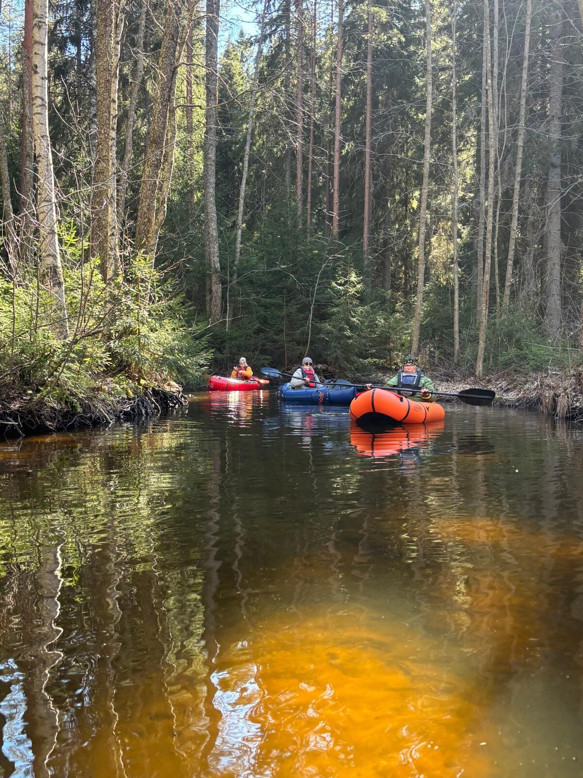
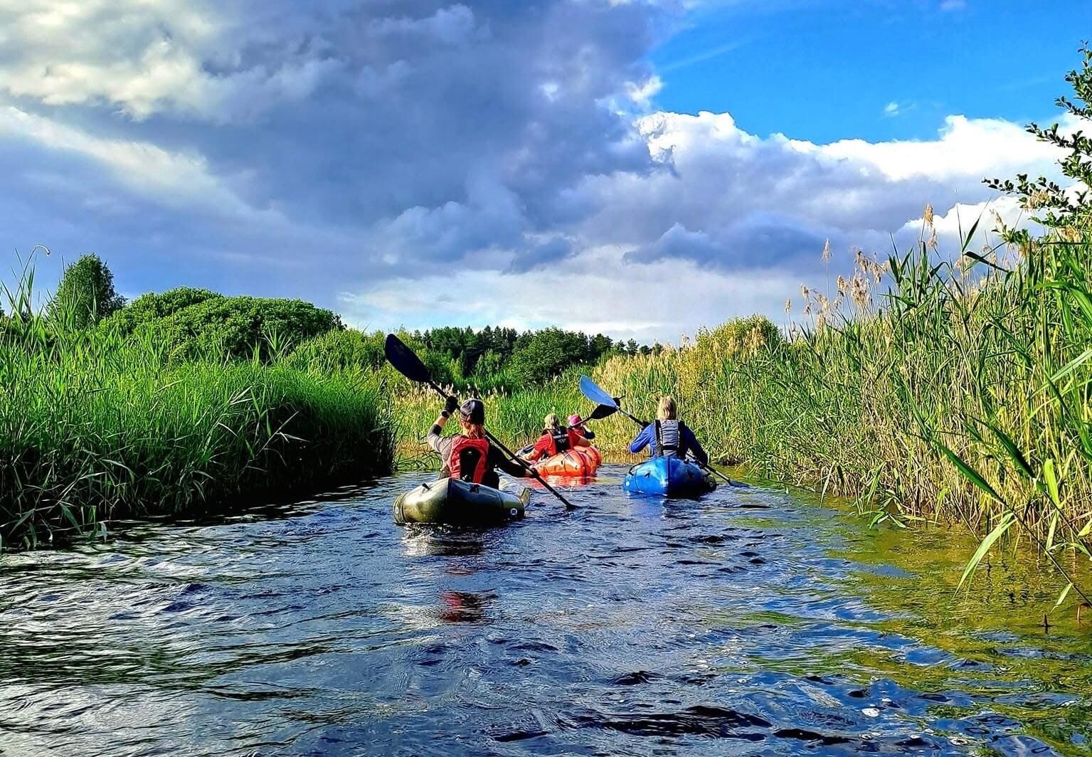
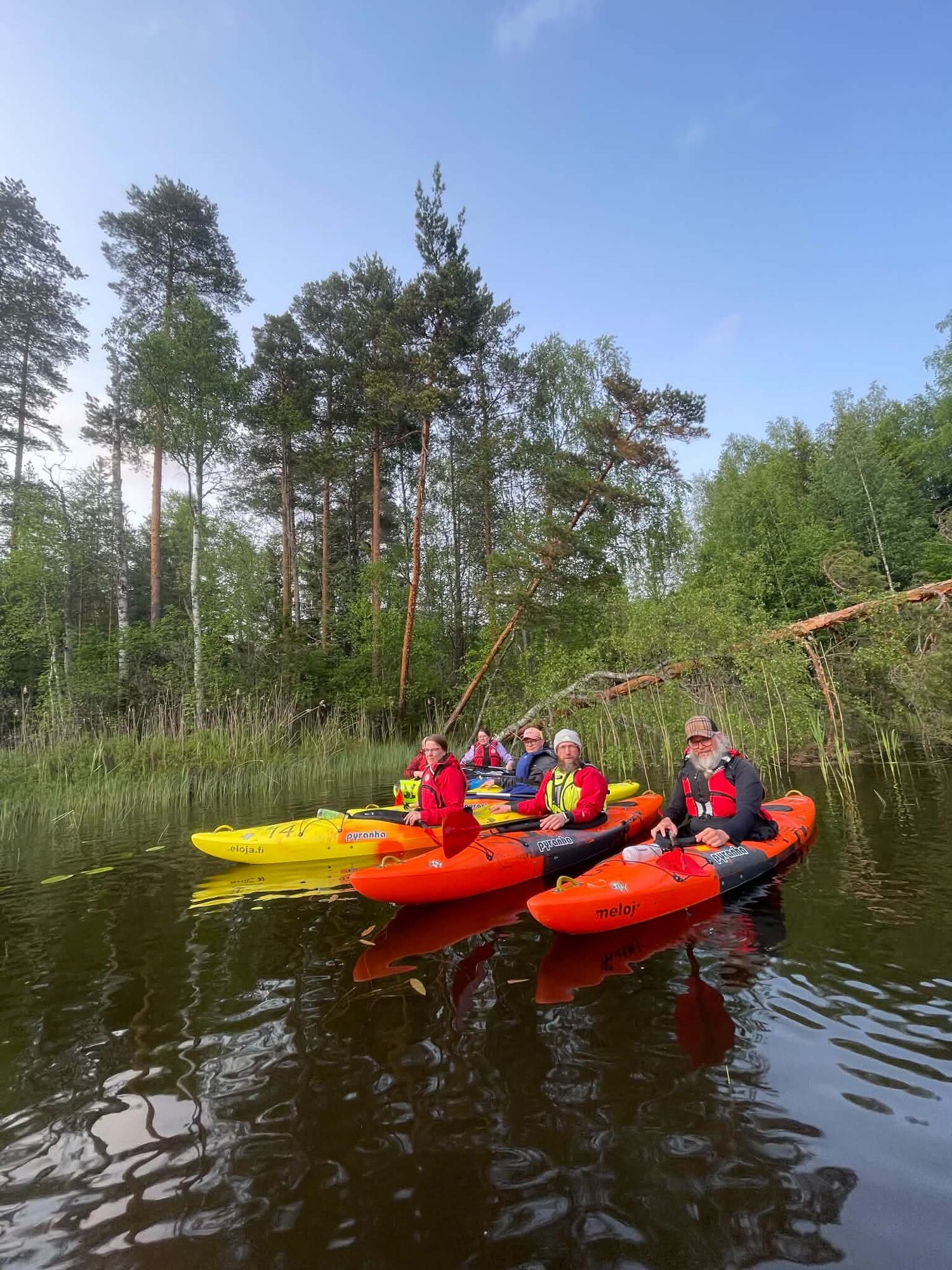
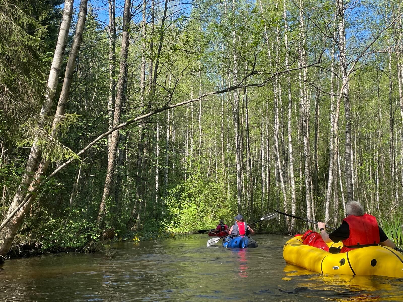
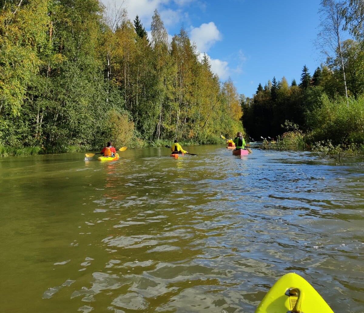
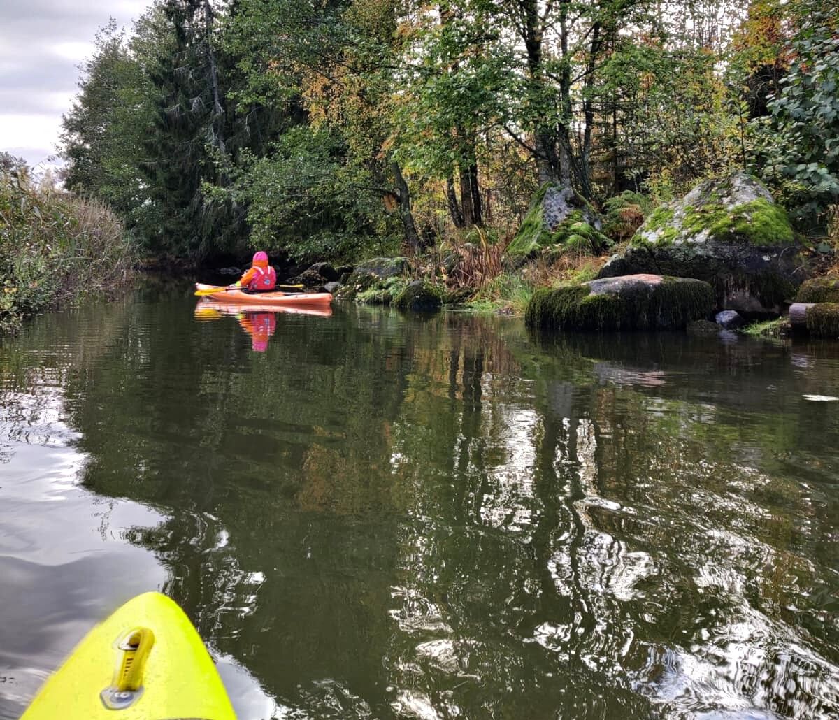
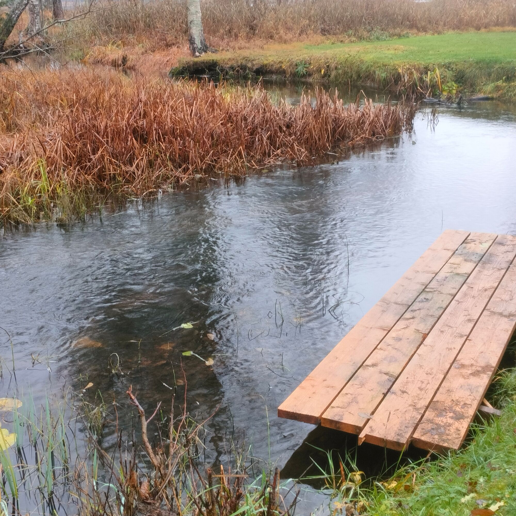
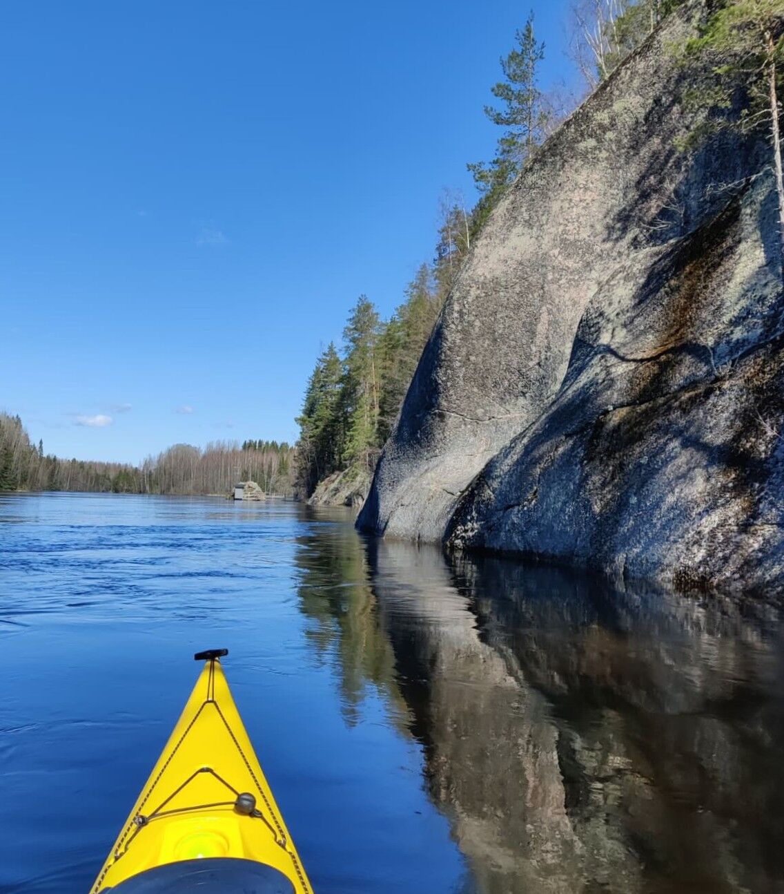
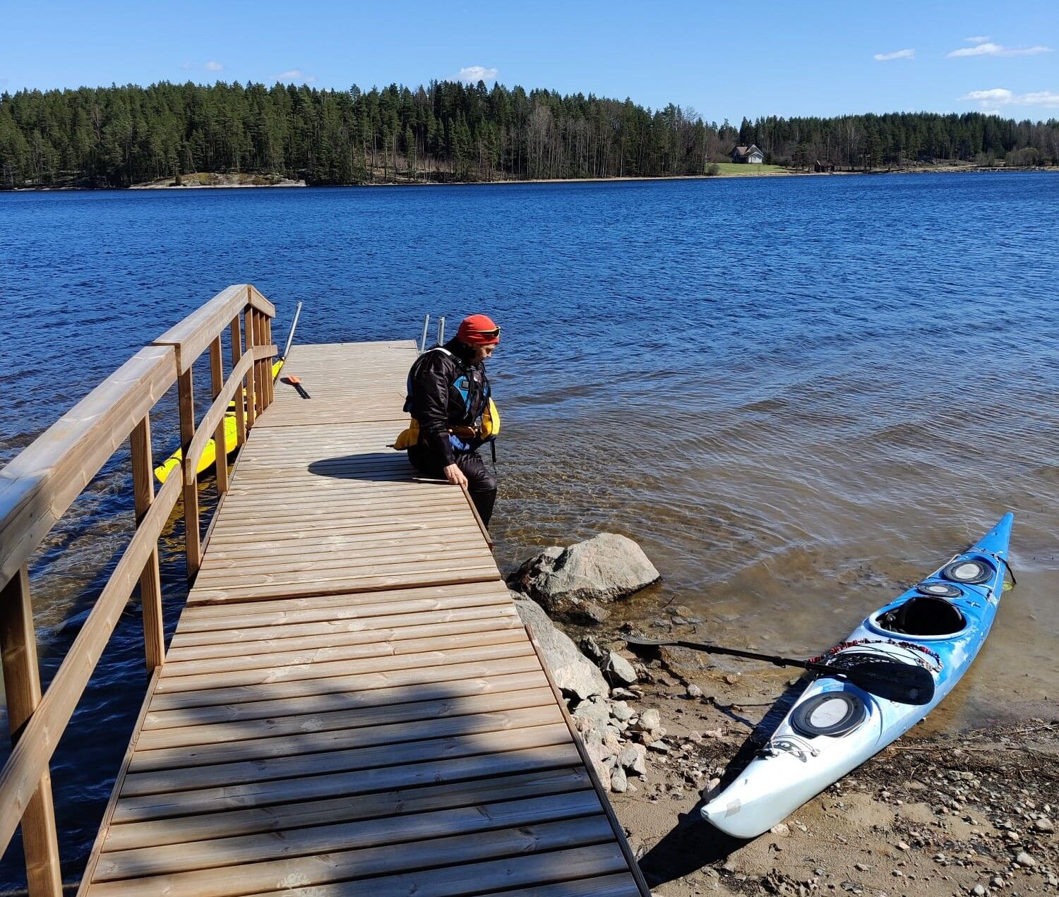
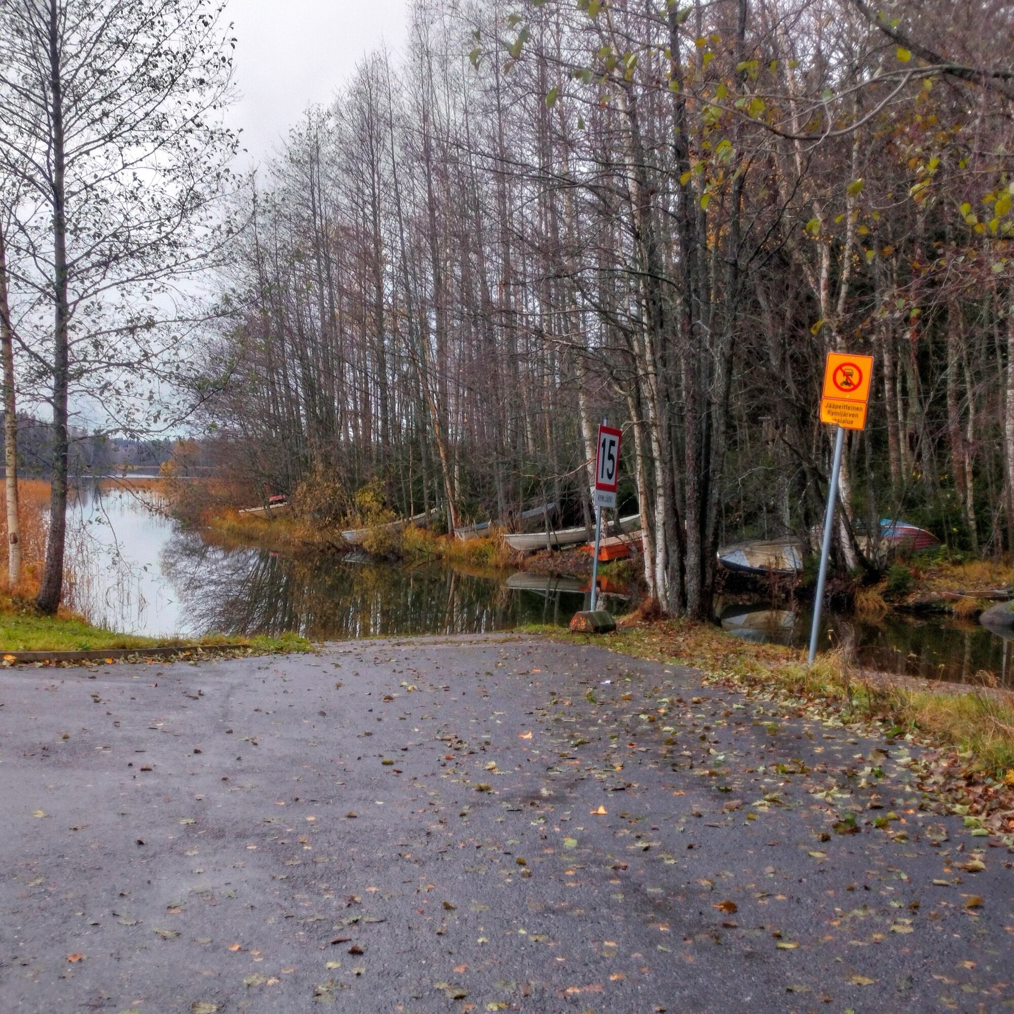
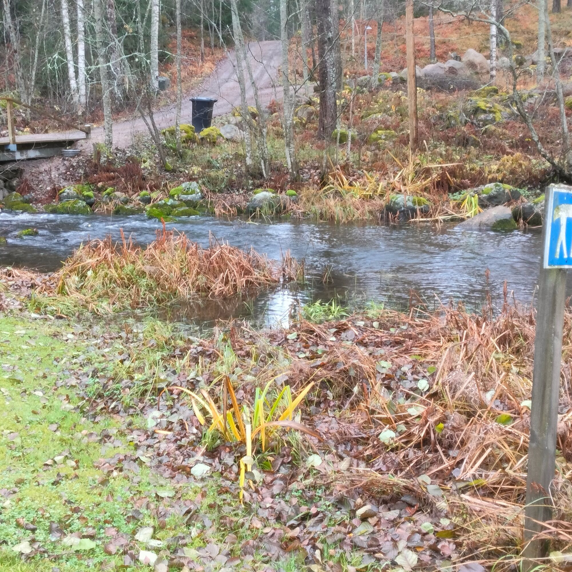

From Suppalanranta, paddle to the eastern end of Lake Kymijärvi, where you can take a break and stretch your legs at Kyynärönpohjukka. From here, the route continues under a small bridge and along the short, adventurous Kyynärönjoki River to the southern end of Lake Kärkjärvi. The route then immediately continues onto the adventurous Härhönjoki River, whose beginning may sometimes be covered by reeds. Härhönjoki is also a narrow, winding river that meanders pleasantly through the forest.
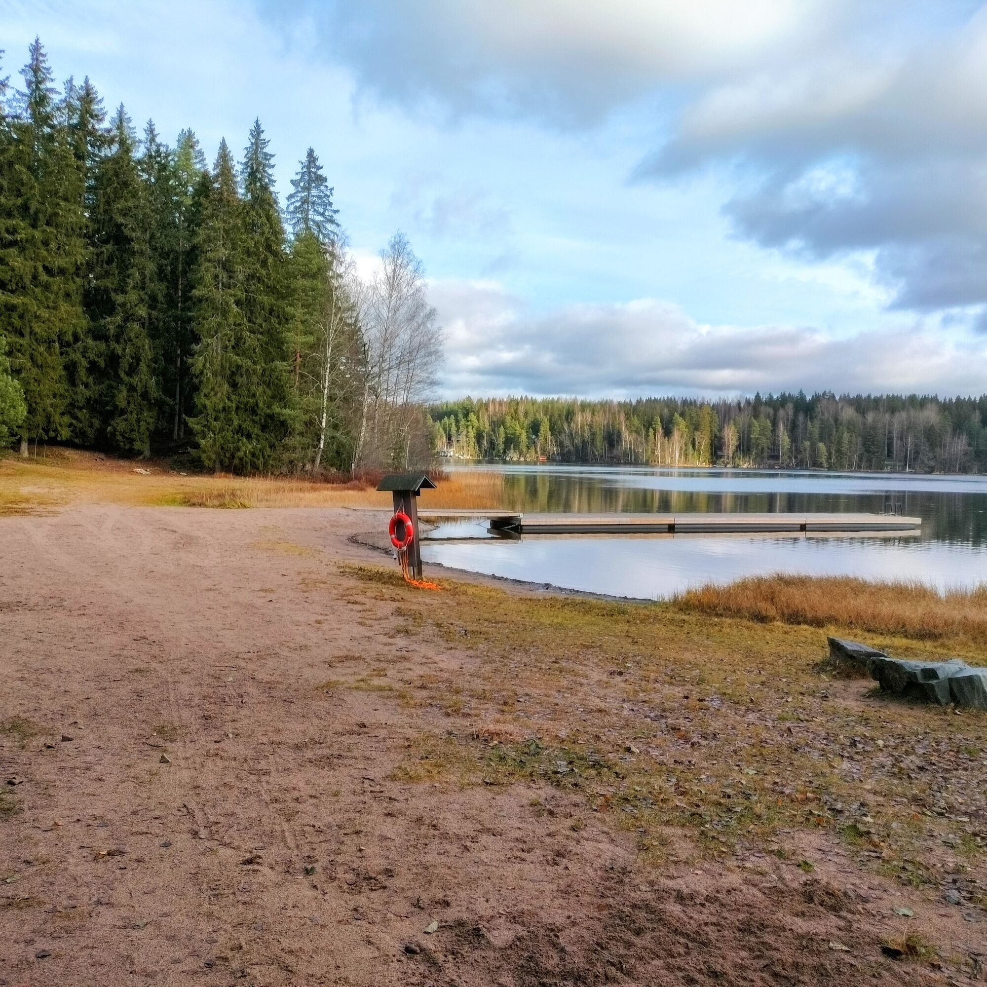
Paddle across the small Lake Alvojärvi towards the southeast, followed by the Kukkasjoki River. This winding little river also has some current, especially in spring, so be alert and land at the dock before the road bridge and dam. The bridge is bypassed by carrying the equipment approximately 40 metres. After Kukkasjoki, you arrive at Lake Villähteen Kukkanen. There is a beach on the right-hand side at the head of the lake, which is a good place for a break.
After a narrow passage, Lake Villähteen Kukkanen gives way to Lake Pikku-Kukkanen. The lake section is approximately 3 km long, after which you reach Karhusilta Bridge. Paddle under the bridge and continue onto Lake Iso-Kukkanen. At the southern end of Lake Iso-Kukkanen, you can make a detour to Hevosniemi Beach, or alternatively start your paddling trip from one of these beaches.
A good place to take a break on Lake Iso-Kukkanen is the Pajulahti Sports Institute campus. Pajulahti offers café and restaurant services, as well as sauna and accommodation facilities. Guided paddling trips with rental equipment are also available. After Pajulahti, the route continues north towards the beginning of the Kumianjoki River. Along the way, you can make a detour to the Jatankallio lean-to shelter on the opposite shore.
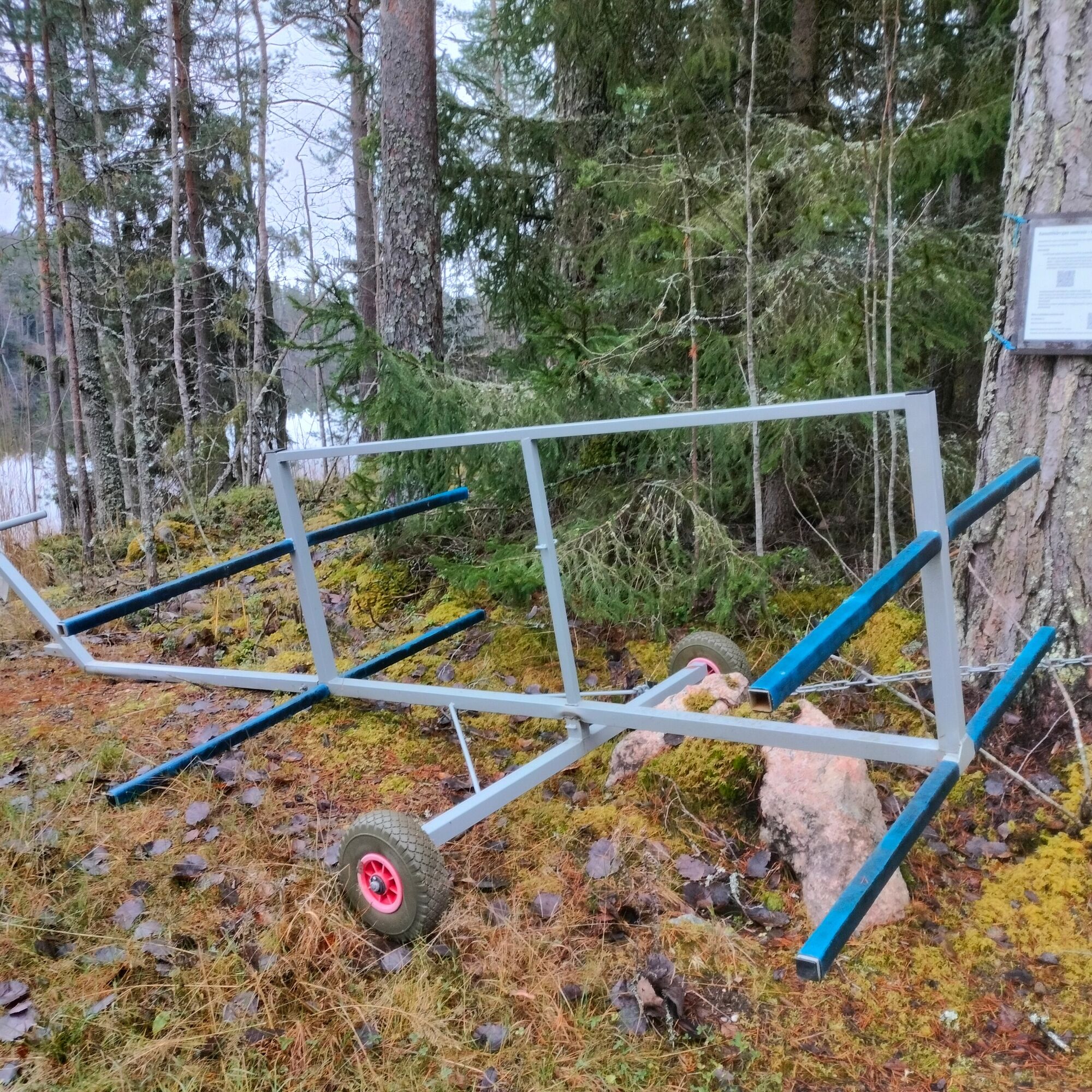
The Kumianjoki River has undergone fishery-related restoration work. Canoes must be carried or moved with the rental cart available on the shore past the river, dam and rapids section (approximately 300 m). After crossing the road, you reach the old Kumia Mill, below which you can launch your equipment onto Lake Salajärvi.
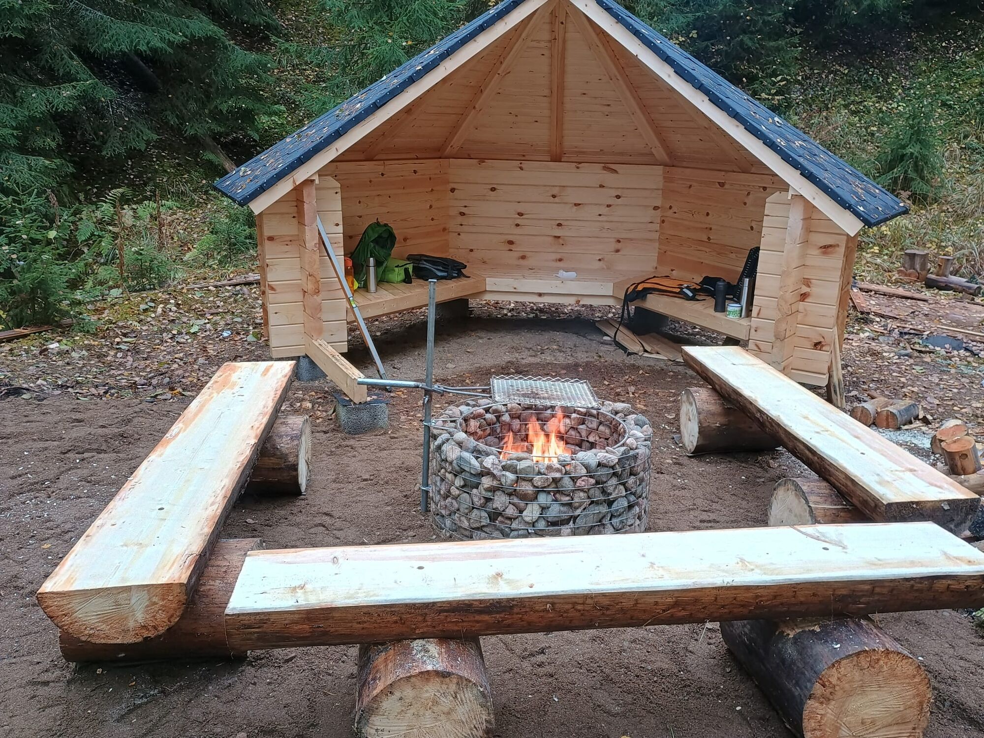
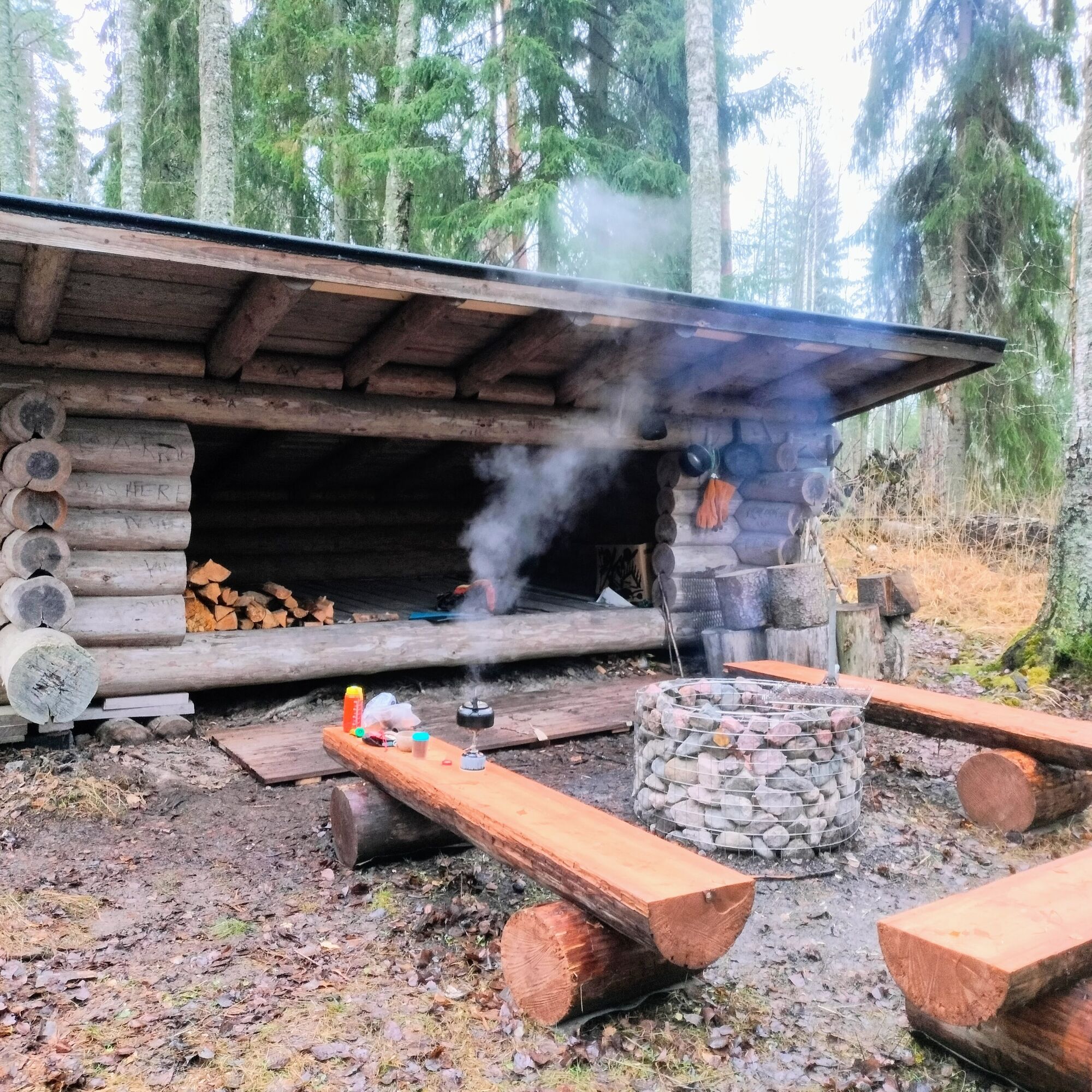
Lake Salajärvi is just over 6 km long. Around the halfway point, on Kangassaari Island, there is a new lean-to shelter with a campfire site and a dry toilet. It is also possible to camp overnight at the shelter. From the northern end of Lake Salajärvi, continue along the easy-flowing Salajoki River to Lake Ruuhijärvi.
From here, you can make a detour north to the beach in Ruuhijärvi village, or continue along the main route straight south across Lake Ruuhijärvi. After approximately 4.5 km of lake paddling, you reach the mouth of the Immilänjoki River, where there is another place to stretch your legs (and a possible starting point for packrafters) on the right, just before the river begins.
Immilänjoki is wider than the previous small rivers. It winds gently through open agricultural landscapes and has a calm current. After approximately 2.5 km, you approach Immilänkoski. The mill dam at the rapids is dangerous, so you must land at the dock on the right before reaching the road bridge to avoid being pulled into the current.
The rapids are bypassed using another rental cart, which can be found after crossing the road at the beginning of Kunniatie. The idyllic surroundings of Immilänkoski, with its historic buildings, are definitely worth exploring. In summer, the Mill Café operates at the rapids and is particularly recommended for its delicious waffles.
After your break, carry the equipment past Immilänkoski along Kunniatie to the shore of Lake Sylvöjärvi. The portage is approximately 800 m, so using the rental cart is recommended. Remember to return the cart to its original location.
If you would like to add some extra paddling distance, there is a recreational beach at the southern end of Lake Sylvöjärvi, with a swimming area, campfire site, birdwatching tower and nature trail. Without this detour, paddle straight across Lake Sylvöjärvi and continue under the road bridge onto the Arrajoki River, another easy and gently flowing river that runs partly through agricultural landscapes.
The lean-to shelter on the final section of the Arrajoki River has been renovated. It is not visible from the river, so follow the signs. The landing point is on the left bank approximately 400 m before the lake. You can spend the night in the shelter or in a hammock, but there are very few suitable places for tent camping.
One shorter route option of Kymenkäänne turns south from the mouth of the Arrajoki River and ends at Säyhte Beach. If you finish your trip here, the total distance from Suppalanranta on Lake Kymijärvi is approximately 35 km. The return journey from Säyhte is also shorter.
From the mouth of the Arrajoki River, the main Kymenkäänne route turns north onto Lake Arrajärvi. From here begins the longest lake section, heading towards Kymenkäänne itself, the place after which the route is named. From Kymenkäänne, the waters turn south towards the Kymijoki River.
There is a rock painting north of Kymenkäänne, although it can be difficult to spot. East of Kymenkäänne, you can make a detour to Lake Kettujärvi and Yli-Kaitala. The next rest stop on the main route is the Savio boat harbour, approximately 8.5 km from the mouth of the Arrajoki River. From Savio, paddle another 6.5 km along the Kymijoki River, gently against the current, to Vuolenkoski.
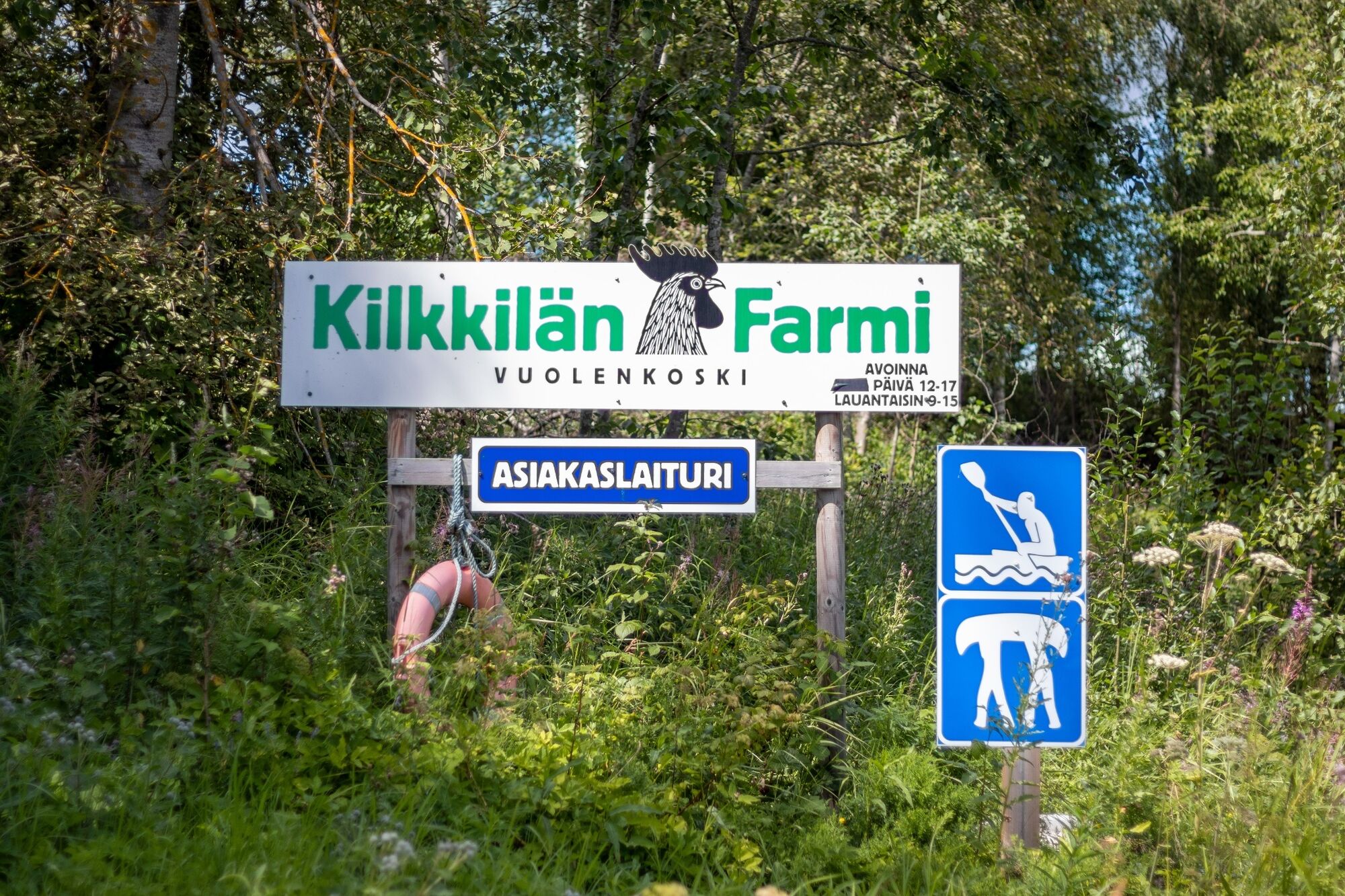
The Kymijoki is a wide river with a moderate current and is easy to paddle. When approaching Vuolenkoski, land on the left bank at Kilkkilä Farm. From here, it is approximately 800 m to the village of Vuolenkoski.
If you would like to continue paddling, for example to Lake Ruotsalainen and onwards either towards Heinola or via the Kimola Canal to Iitti, you can use the canoe cart available for the portage section.
Kilkkilä Farm also offers café services and accommodation. In Vuolenkoski, you will find, among other things, a grocery shop, lakeside restaurant, guest marina and beach.
From Vuolenkoski towards Heinola, the Salpausselkä Geopark area offers endless opportunities for paddling. Explore the Geopark Paddling Map here. The route descriptions for the lake routes can be found here.
Alternatively, from Kymenkäänne you can turn south and continue downstream. The next stop is the Tapola landing point, with a possible finishing point at the landing site before the Mankala power plant. The distance from Kymenkäänne to the Mankala power plant is approximately 16 km, and the downstream current helps with the journey.
From Mankala, after a portage, you can continue onto Lake Kirkkojärvi and paddle onwards to the village of Iitti, or even circumnavigate Lake Pyhäjärvi and continue via the Kimola Canal to Vuolenkoski.
Ja
Ja
Personal flotation device (PFD). A canoe or kayak should also be equipped with a means of removing water, such as a sponge, bailer or pump.
The route is signposted, but it is still a good idea to bring a map with you – or at least take a photo of the information board at the starting point. You can also follow the route using a map app on your phone.
Pack spare clothes and any overnight equipment in waterproof bags.
Kayak: A relatively short plastic kayak suitable for river paddling is preferable to a long sea kayak. The shorter river sections can also be paddled with a whitewater kayak, although this is not recommended for the Kymijoki River.
For an open canoe, a lightweight model that is easy to carry at portage points is recommended.
Bringing your own canoe cart can be useful, but especially when paddling with a group and several canoes, it is worth using the larger rental carts available at the portage points.
A packraft is suitable for the river sections, but it can be difficult to control on windy lakes. Always wear a PFD and use appropriate safety equipment when paddling a packraft as well.
Before your trip, download the 112 Suomi app on your phone. Make sure your phone is fully charged and keep it in a waterproof case where it is easily accessible.
Always wear a personal flotation device (PFD).
Only paddle in conditions you are comfortable handling – take the season, weather forecast and water temperature into account.
On the lake sections, it is advisable to stay close to the shore, especially in windy conditions.
Always pack a change of clothes in a waterproof bag.
The route is easy and is suitable even as a first paddling trip on flowing water.
On the narrow river sections, however, be prepared for trees that may have fallen across the river. Anticipate dams and portage points, and land well in advance by following the route signs.
Other possible starting and landing points and addresses of other locations:
Lake Kymijärvi:
Kaukkari boat landing: Koivukallionkatu 3, LAHTI
Karisto Beach: Kariston Rantatie 36, Lahti
Kyynärä boat landing: Kyynäräntie 11, LAHTI
The Kukkas Lakes:
Villähteen Kukkanen Beach: Kukkasjärventie 169, LAHTI
Pajulahti Sports Institute (Three Campuses Institute): Pajulahdentie 167, LAHTI
Jatankallio lean-to shelter (Lake Iso-Kukkanen): Kiehuvantie 251, LAHTI
Hevosniemi Beach (Lake Iso-Kukkanen): Hevosniementie 20, LAHTI
Kanoe take-out point before the Kumianjoki River: Ruuhijärventie 58, LAHTI
Lake Salajärvi:
Kumia Mill, launch point after the portage: Ruuhijärventie 58, LAHTI
Rest stop at Kangassaari lean-to shelter: Kangassaari 39, LAHTI (the nearest location accessible by road is Kurssikeskuksentie 17, Lahti)
Luhtaanpirtti: Kurssikeskuksentie 17, LAHTI (please note that parking and use of the area must be agreed in advance)
Salajoki Rivers outlet of the lake, boat landing: Kilpikalliontie 3, LAHTI
Lake Ruuhijärvi:
Ruuhijärvi recreational beach: Uimarannantie 30, LAHTI
Immilänjoki River outlet of the lake, boat landing (starting point for the Immilänjoki section): Kalkkolantie 244, LAHTI
Immilänjoki River – Lake Sylvöjärvi – Arrajoki River:
Immilänkoski, canoe take-out point before the mill: Vehkosillantie 714, LAHTI
Launch point after the Immilänkoski portage (Lake Sylvöjärvi): Kunniatie 43, LAHTI
Southern end of Lake Sylvöjärvi, Uudenkylä recreational beach: Kuoppalantie 44, LAHTI
Arrajoki River, Arramaja lean-to shelter: Arramajantie 321, LAHTI (please note that there is a barrier on the access road approximately 1 km before the shelter)
No address available; if needed, use the 112 emergency location sign with coordinates.
Possible starting and landing points on the Iitti side:
Lake Arrajärvi, Säyhtee: Säyhtee Beach: Rantakuja 40, Iitti
Kymijoki River, north of Kymenkäänne:
Savio landing point: Saviontie 577c, Iitti
Canoe take-out point before Vuolenkoski: Ojassuontie 68, Vuolenkoski (Kilkkilä Farm)
Landing point at Lake Ruotsalainen, Vuolenkoski Beach: Vuolenkoskentie 1476, Iitti (Huutotöyry)
Kymijoki River, south of Kymenkäänne:
Yli-Kaitala Resort, Kymenkäänne/Lake Kettujärvi: Kaitalantie 323, Iitti
Tapola landing point: Suvantopolku 23, Iitti
Canoe take-out point above the Mankala power plant: Joenrannantie 372, Iitti
Continuation route: launch point on Lake Kirkkojärvi in Iitti (below the Mankala power plant): Sitikkalantie 175b, Iitti
At Luhtaanpirtti, parking must be agreed with the site manager in advance.
2
If you do not have a paper map with you, take a photo of the map on the information board at the starting point so that you can follow the route using a map app on your phone.
When planning your itinerary, allow extra time for the portage sections.
From the Kymenkäänne route, you can continue on a multi-day paddling trip, for example via Lake Ruotsalainen, Lake Päijänne and Lake Vesijärvi back to Lahti, or via the Kimola Canal to Iitti.
Pajulahti offers café and restaurant services. It is worth setting aside some time to explore the surroundings of Immilä Mill and visit the Mill Café. There are also several swimming spots along the route.
Beliebte Touren in der Nähe
-
5,0
Mustavuorenpfad, Lapakisto, Lahti
mittelWanderung 5,13 km -
Pitkäjärven-Weg, Lapakisto, Lahti
mittelWanderung 5,55 km -
Paddelroute Arrajärvi-Selkojärvi
leichtKajak / Kanu 8,35 km -
Sammalistonpfad, Lapakisto, Lahti
leichtWanderung 3,96 km -
Vuolenkoski–Lahti: Paddelroute von Lahti nach Kymijoki und Kimolankanava
mittelKajak / Kanu 35,9 km -
Große Inselumrundung Konnivesi, Heinola
schwerKajak / Kanu 28,2 km -
Karisto-Pajulahti: Paddelroute von Lahti zum Kymijoki und Kimolankanava
mittelKajak / Kanu 13,6 km -
Ahvenlamminpfad, Lapakisto, Lahti
mittelWanderung 5,59 km -
Natur- und Kulturführung durch Lohkarepuisto, Nastola
mittelThemenweg 5,17 km -
Kalliojärvenpfad, Lapakisto, Lahti
mittelWanderung 5,76 km
Wandern & Tracking


Verpasse keine Angebote und Inspirationen für deinen nächsten Urlaub
Deine E-Mail-Adresse wurde in den Verteiler eingetragen.





