


Vääksy-Padasjoki 36km
On this nicely easy route from Vääksy to Padasjoki, you can head for example to Lehmonkärki, which is known for its title as one of Finland's most amazing tourist destinations!

From Pulkkila, head towards Lehmonkärki, which is known as one of Finland's most spectacular tourist destinations. After Lehmonkärki, the route heads from Myllyksselkä to Highway 24 (old quadruple road), which is driven for about five kilometres.
If your bike works on gravel and dirt roads, you can also use Joenniementie and Mukulintie towards the north, starting at Myllykselä. This is part of a nicely winding gravel road. All in all, the option offers nice country views and lake views. This road meets the Häntämäentie drawn on the route after about 8 kilometers.
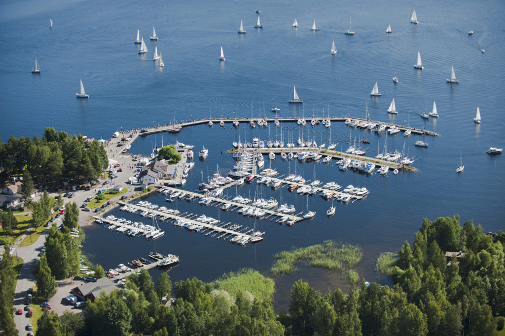
In accordance with the gpx track, the route returns to the peace of the countryside Maakeskinraitti, which is driven towards the village of Nyystölä. This section is a very nice winding and rolling country road. Päijänne will be nicely visible in the Harila landscape. The distance from Nyystölä to the destination is a few kilometers and the route ends at the port of Padasjoki.
As a rule, the route is not so-called loop but a line shape / point to point. So take this into account when designing the route!
Beliebte Touren in der Nähe
Naturpfad Pulkkilanharju (4,7 km), Nationalpark Päijänne
leichtThemenweg 4,72 kmNaturpfad Pulkkilanharju (2,4 km), Asikkala
leichtThemenweg 2,35 kmAurinko-Ilves-Wanderweg, Asikkala
mittelFernwanderweg 30,6 kmNationalpark-Paddeltour nach Kelvente, Padasjoki
mittelKajak / Kanu 30,0 kmEiszeitlicher Pfad von Asikkala mit dem Fahrrad
mittelRadfahren 78,8 kmKelvenne-Endmoränenpfad, Päijänne-Nationalpark
mittelWanderung 9,40 kmPäijänne-Ilves, Padasjoki
mittelWanderung 12,9 kmUmrundung von Varjansaari, Asikkala
leichtKajak / Kanu 8,80 kmNaturpfad Salonsaari, Asikkala
leichtThemenweg 3,21 kmPikkujärviseikkailu, Padasjoki
mittelKajak / Kanu 9,11 km

Wandern & Tracking


Verpasse keine Angebote und Inspirationen für deinen nächsten Urlaub
Deine E-Mail-Adresse wurde in den Verteiler eingetragen.