Kranjska Gora - Mala Mojstrovka - Vratca pod Mojstrovko - Bovec
mittel
Navigieren
Navigieren
Hol diese Tour auf dein Handy
Kranjska Gora - Mala Mojstrovka - Vratca pod Mojstrovko - Bovec
mittel
Bergwandern
4,78
km
QR-Code scannen und Navigation in der bergfex App beginnen

Wandern & Tracking


Kranjska Gora - Mala Mojstrovka - Vratca pod Mojstrovko - Bovec
mittel
Distanz
4,78
km
Dauer
03:59
h
Aufstieg
589
hm
Seehöhe
1.614 -
2.314
m
Track-Download
Kranjska Gora - Mala Mojstrovka - Vratca pod Mojstrovko - Bovec
mittel
Bergwandern
4,78
km
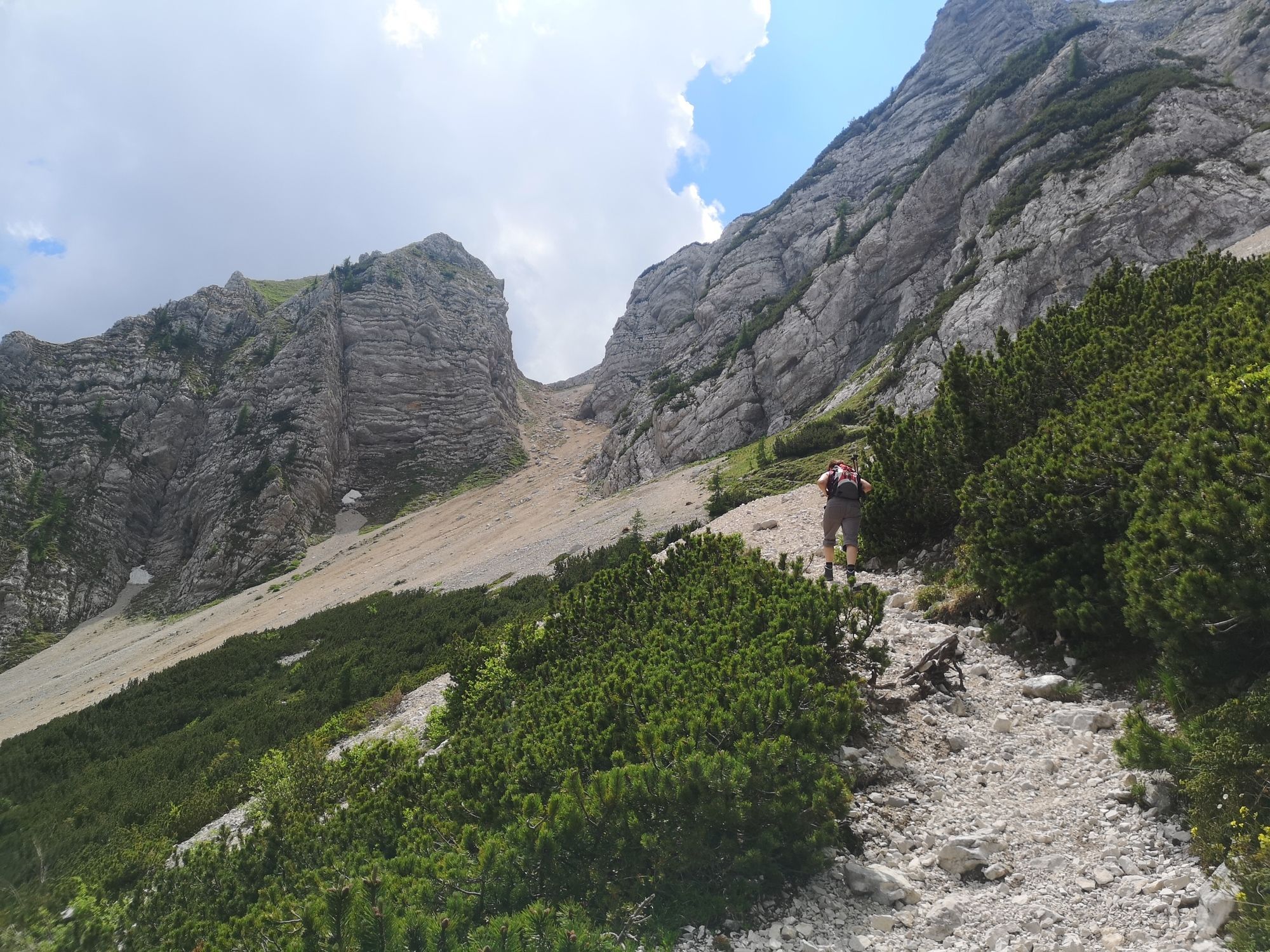
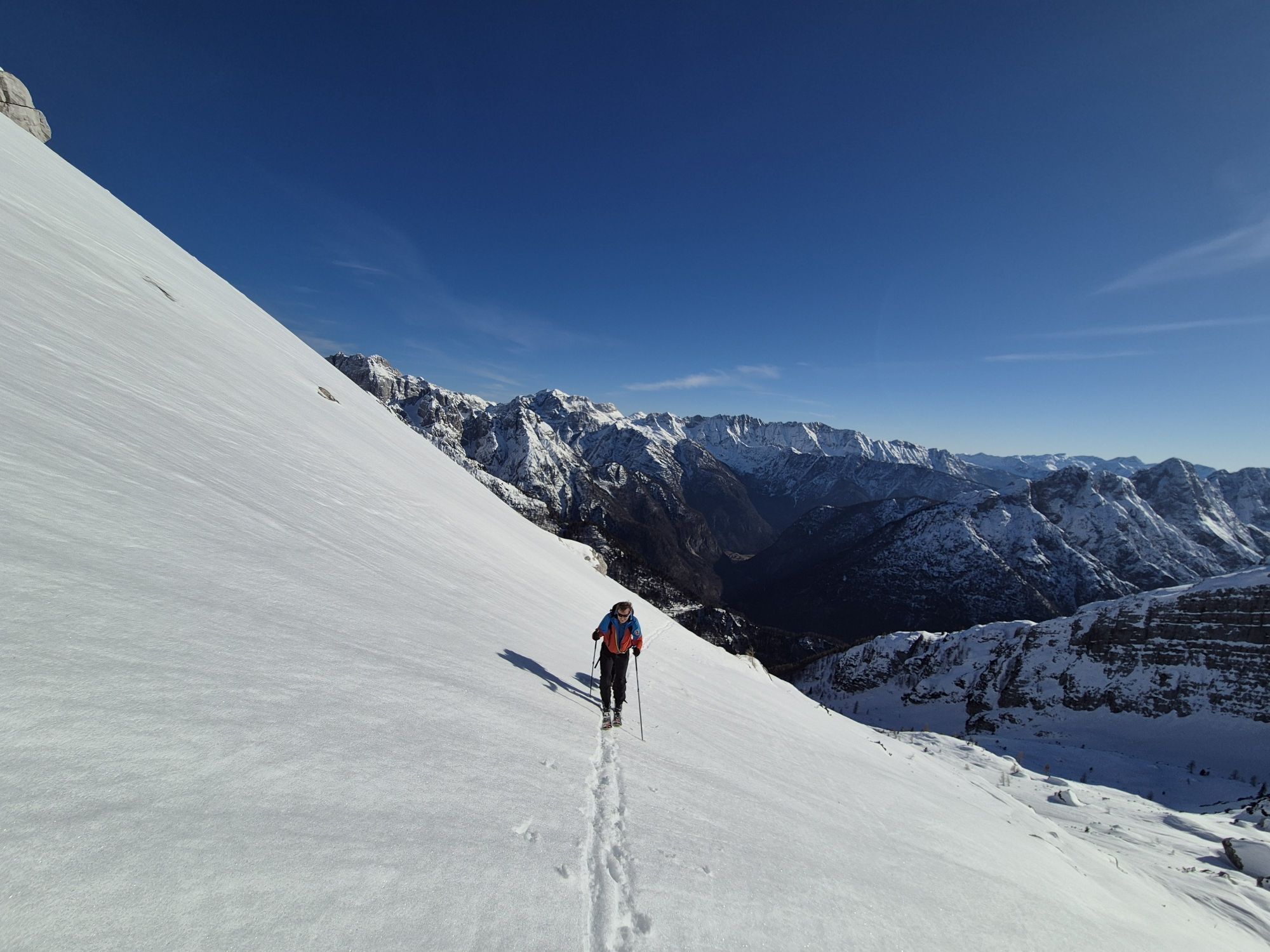
Fotos unserer User
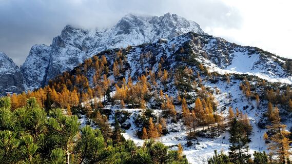
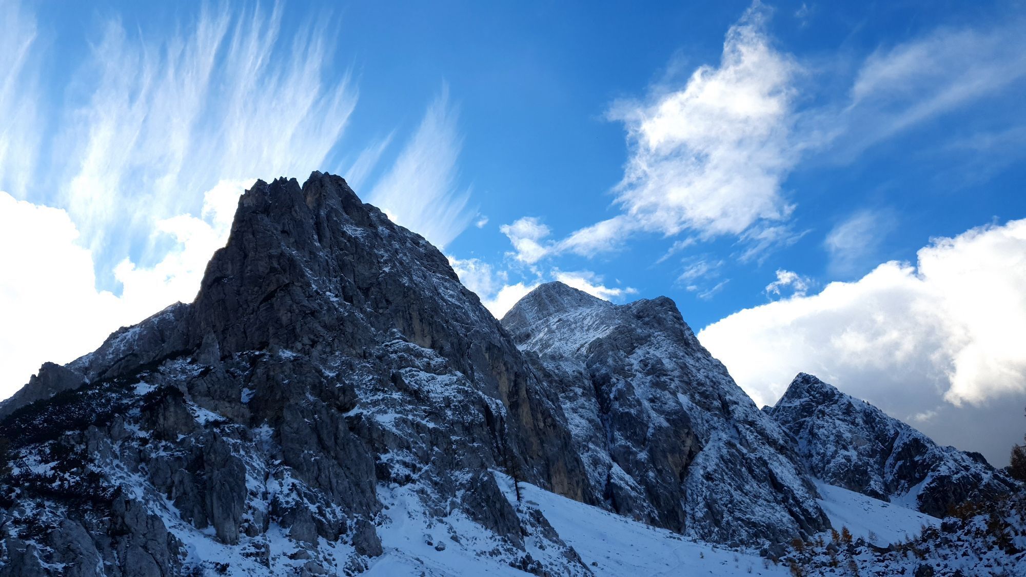
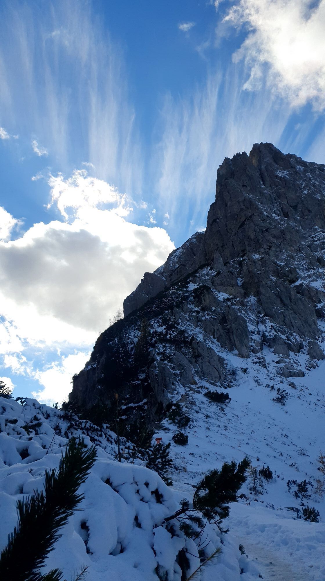
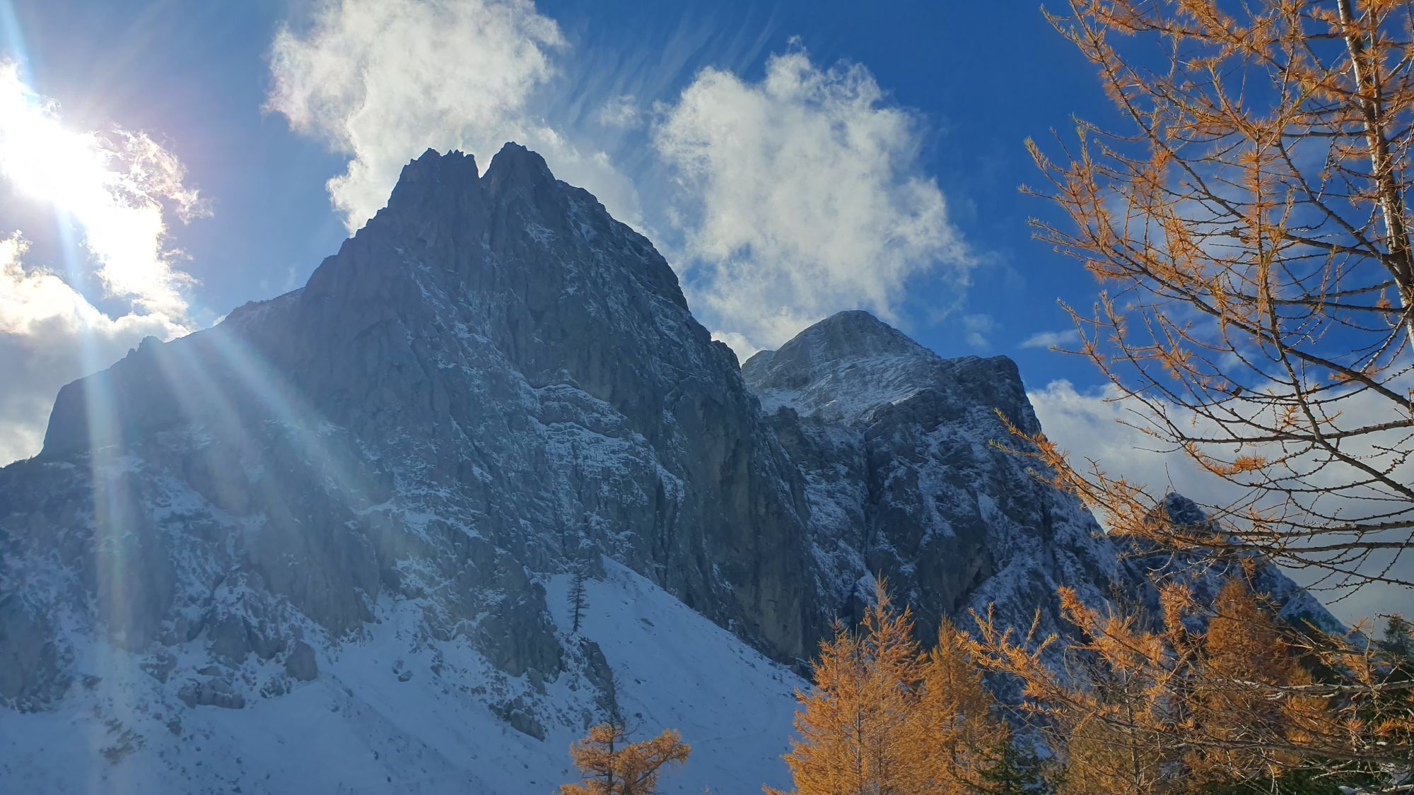
 © Anica vargaErstellt am 25.10.2025
 © Anica vargaErstellt am 25.10.2025
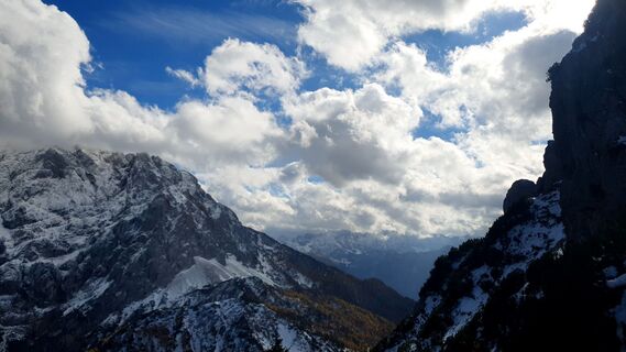 © Anica vargaErstellt am 25.10.2025
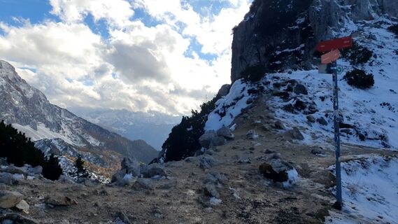 © Anica vargaErstellt am 25.10.2025
 © Anica vargaErstellt am 25.10.2025
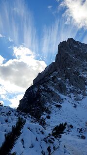 © Anica vargaErstellt am 25.10.2025
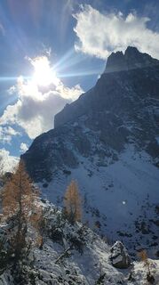 © Anica vargaErstellt am 25.10.2025
 © Anica vargaErstellt am 25.10.2025
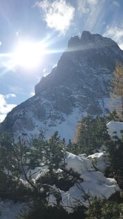 © Anica vargaErstellt am 25.10.2025
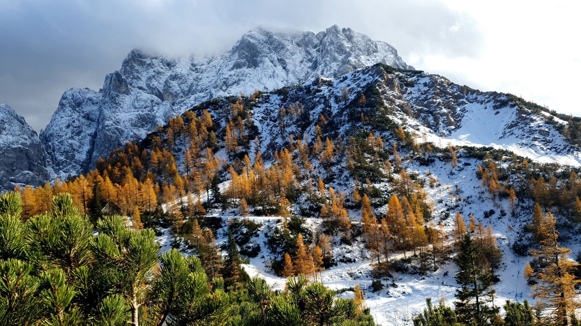
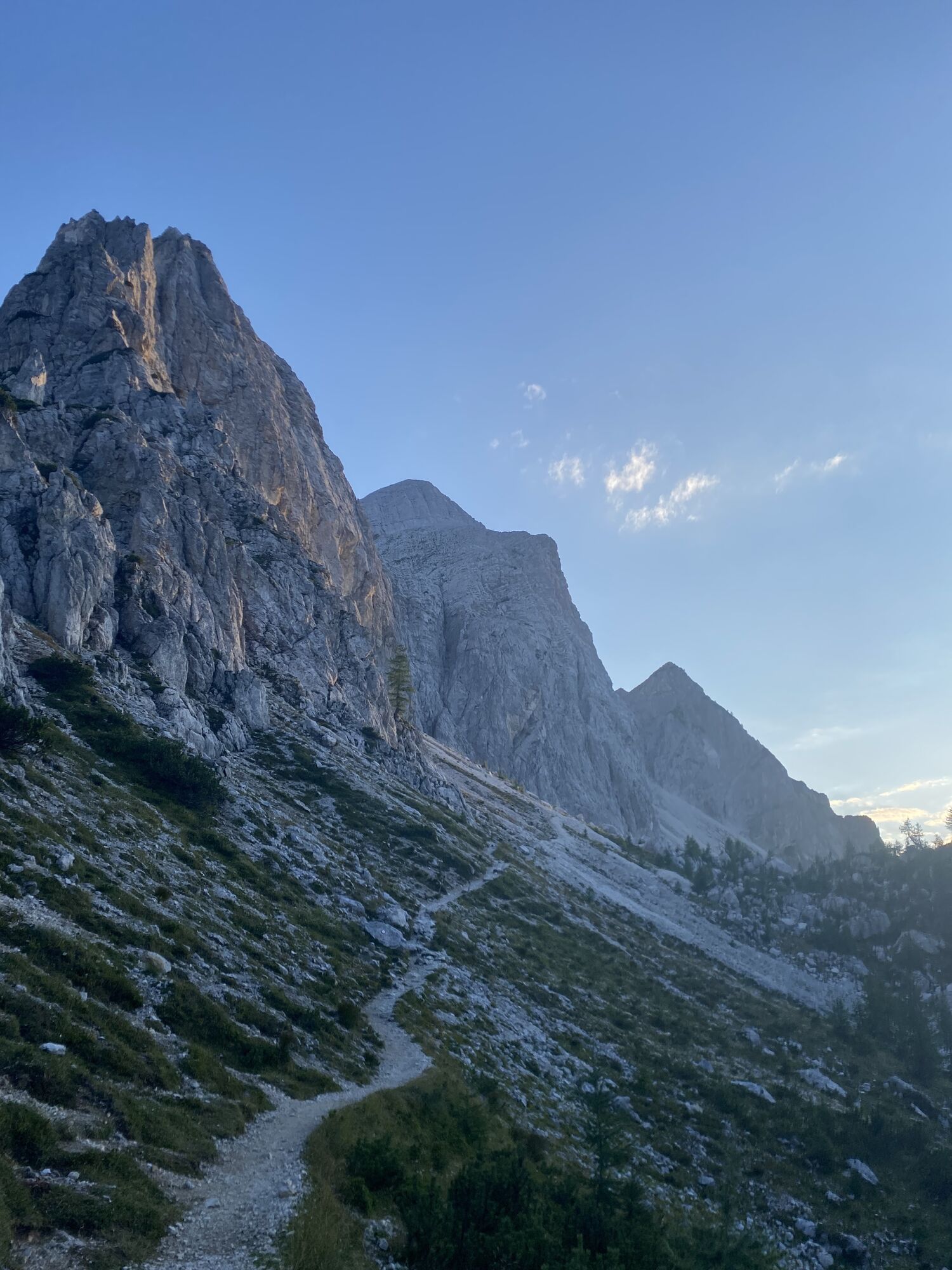
 © TimErstellt am 22.08.2025
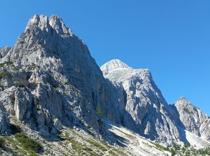
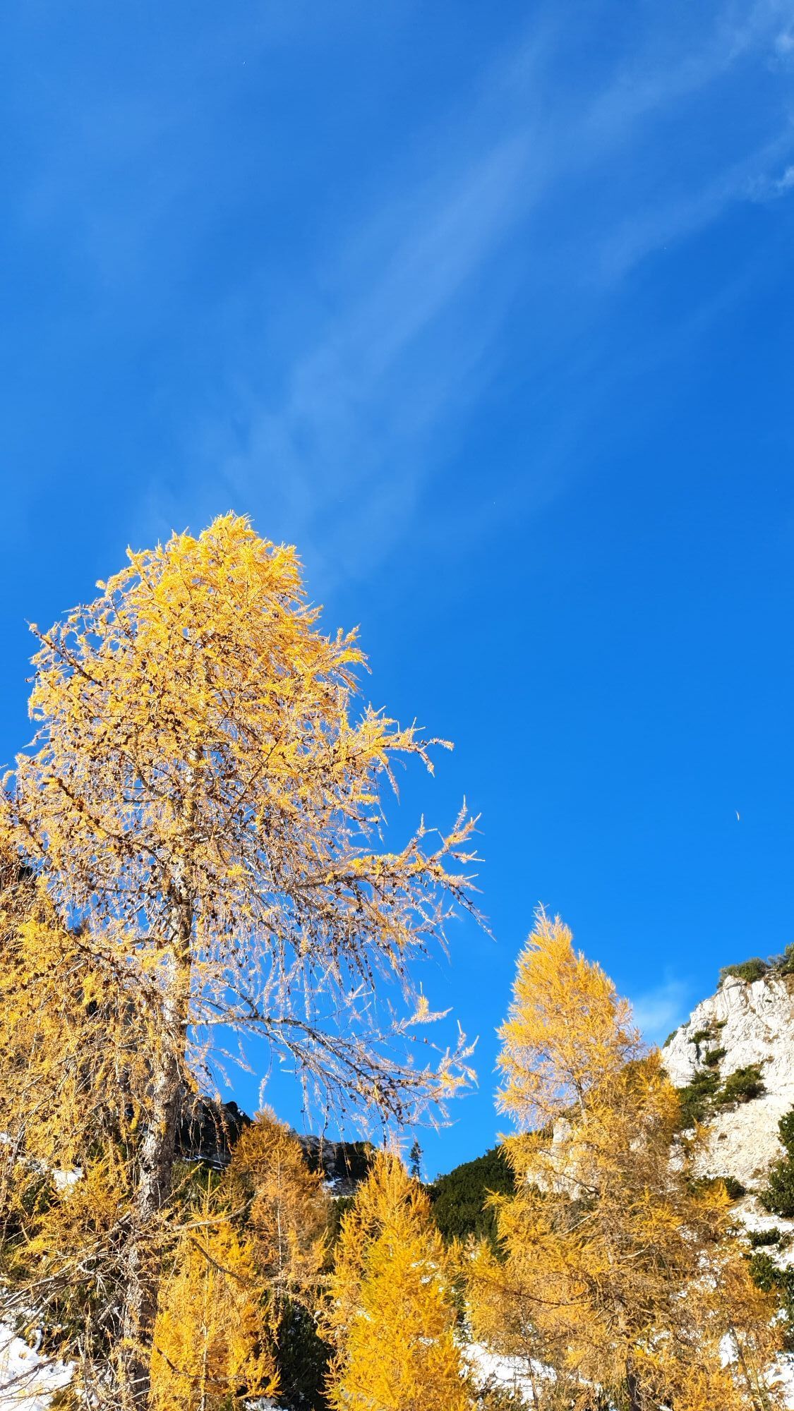
 © Christa GrailachErstellt am 09.08.2025
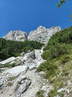 © Christa GrailachErstellt am 09.08.2025
 © Christa GrailachErstellt am 09.08.2025
 © eugenlangErstellt am 20.06.2019
 © eugenlangErstellt am 20.06.2019
 © eugenlangErstellt am 20.06.2019
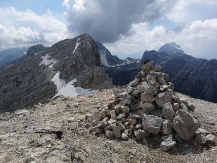 © eugenlangErstellt am 20.06.2019
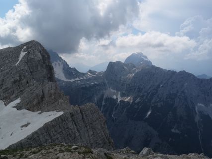 © eugenlangErstellt am 20.06.2019
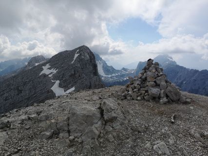 © eugenlangErstellt am 20.06.2019
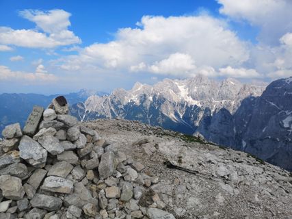 © eugenlangErstellt am 20.06.2019
 © eugenlangErstellt am 20.06.2019
 © eugenlangErstellt am 20.06.2019
 © eugenlangErstellt am 20.06.2019
 © eugenlangErstellt am 20.06.2019
 © eugenlangErstellt am 20.06.2019
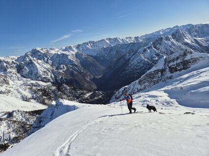
 © Matej Špeh 1Erstellt am 26.02.2026
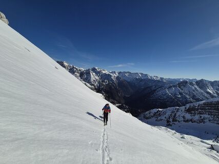 © Matej Špeh 1Erstellt am 26.02.2026


Wegverlauf
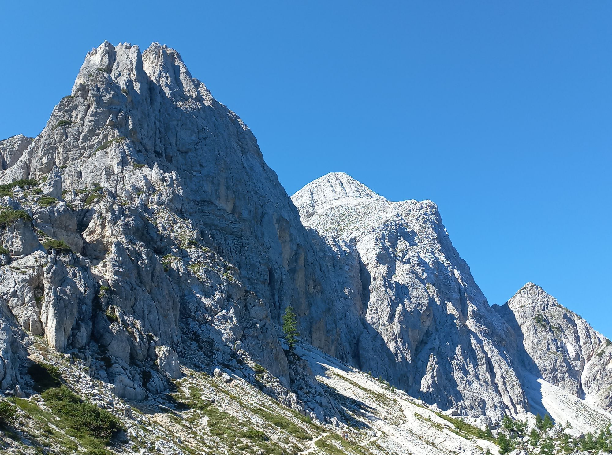
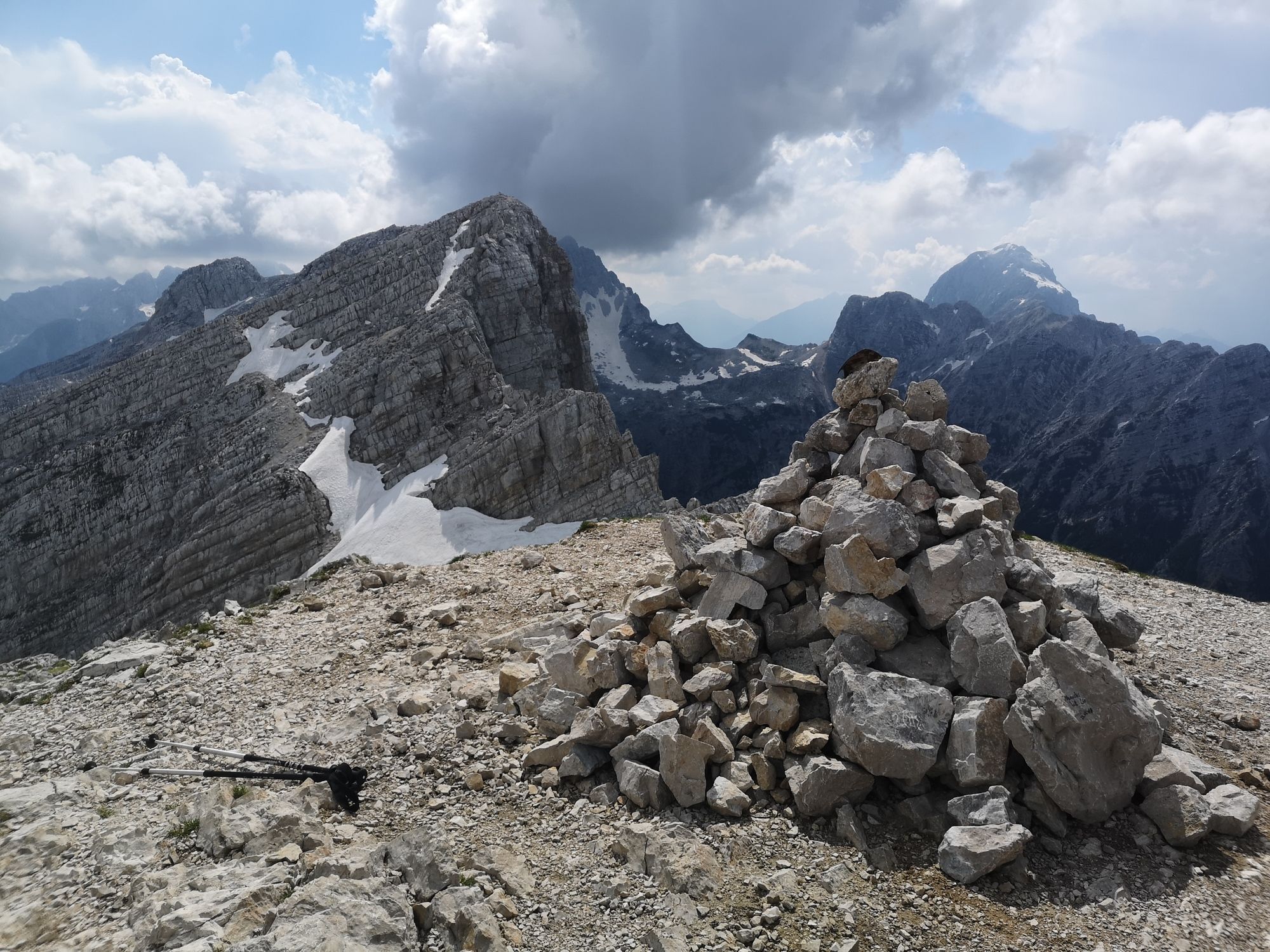
Mala Mojstrovka
(2.333 m)
Gipfel
2,6 km
Jama na Mojstrovki
(2.164 m)
Höhleneingang
3,0 km
Vratca pod Mojstrovko
(1.941 m)
Bergsattel
3,7 km
Wegverlauf
Kranjska Gora - Mala Mojstrovka - Vratca pod Mojstrovko - Bovec
mittel
Bergwandern
4,78
km
Vratca prelaz
(1.798 m)
Aussichtspunkt
0,8 km
Mala Mojstrovka
(2.333 m)
Gipfel
2,6 km
Jama na Mojstrovki
(2.164 m)
Höhleneingang
3,0 km
Vratca pod Mojstrovko
(1.941 m)
Bergsattel
3,7 km
Zuletzt getrackt
vor einer Woche
Bewertungen
2 Kommentare
Stephan Weishaar
11. Sep. 2024
Verifiziert gegangen
Ferrata Mala Mojstrovka hanza Steig
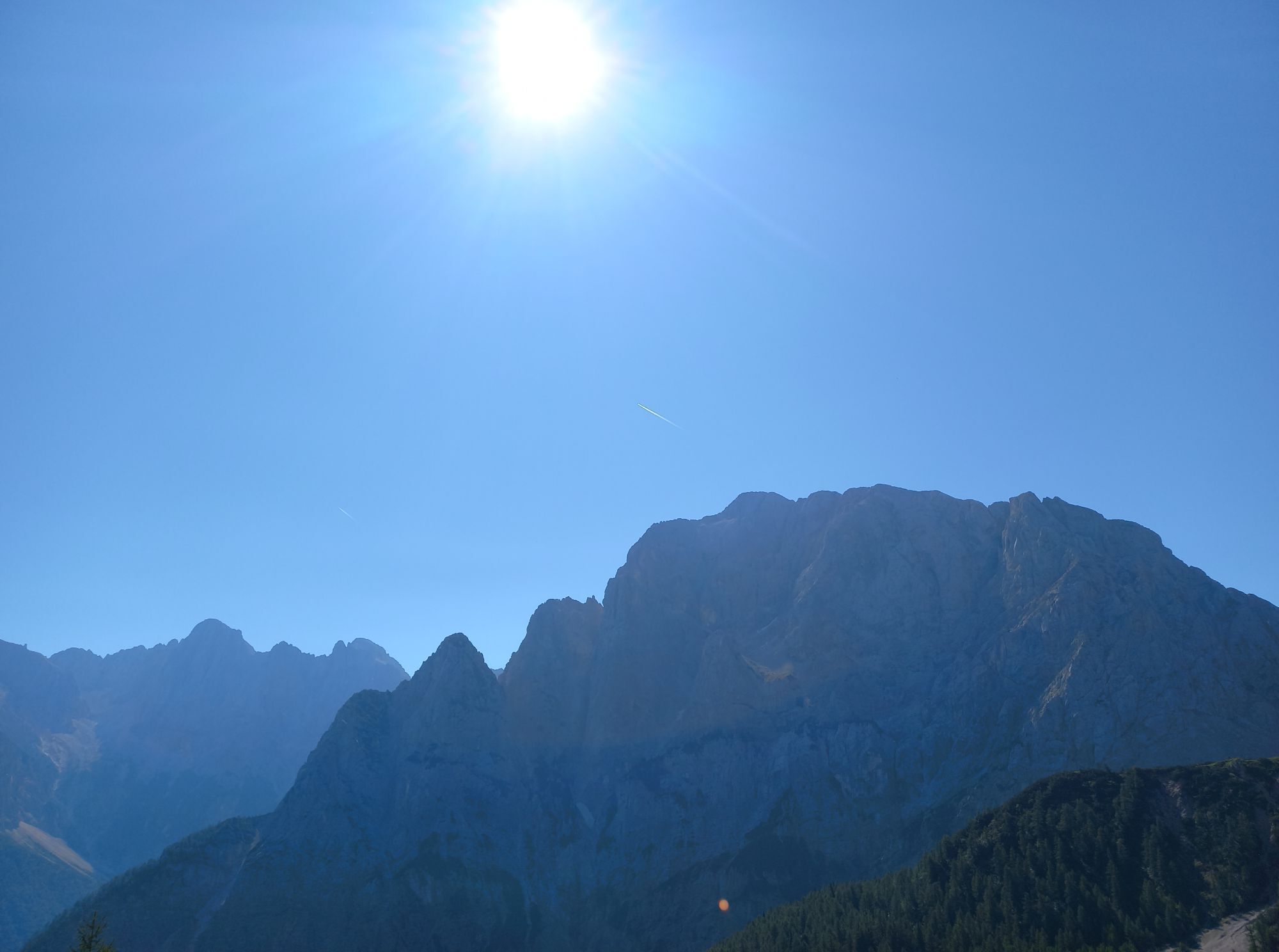
Schlechte Sicht am Gipfel, Abstieg am Bergkamm entlang...
Laura Lencse 1
23. Aug. 2024
Mala Mojstrovka
Must have: sunscreen, trekking pole, wind protection, good climbing boots.
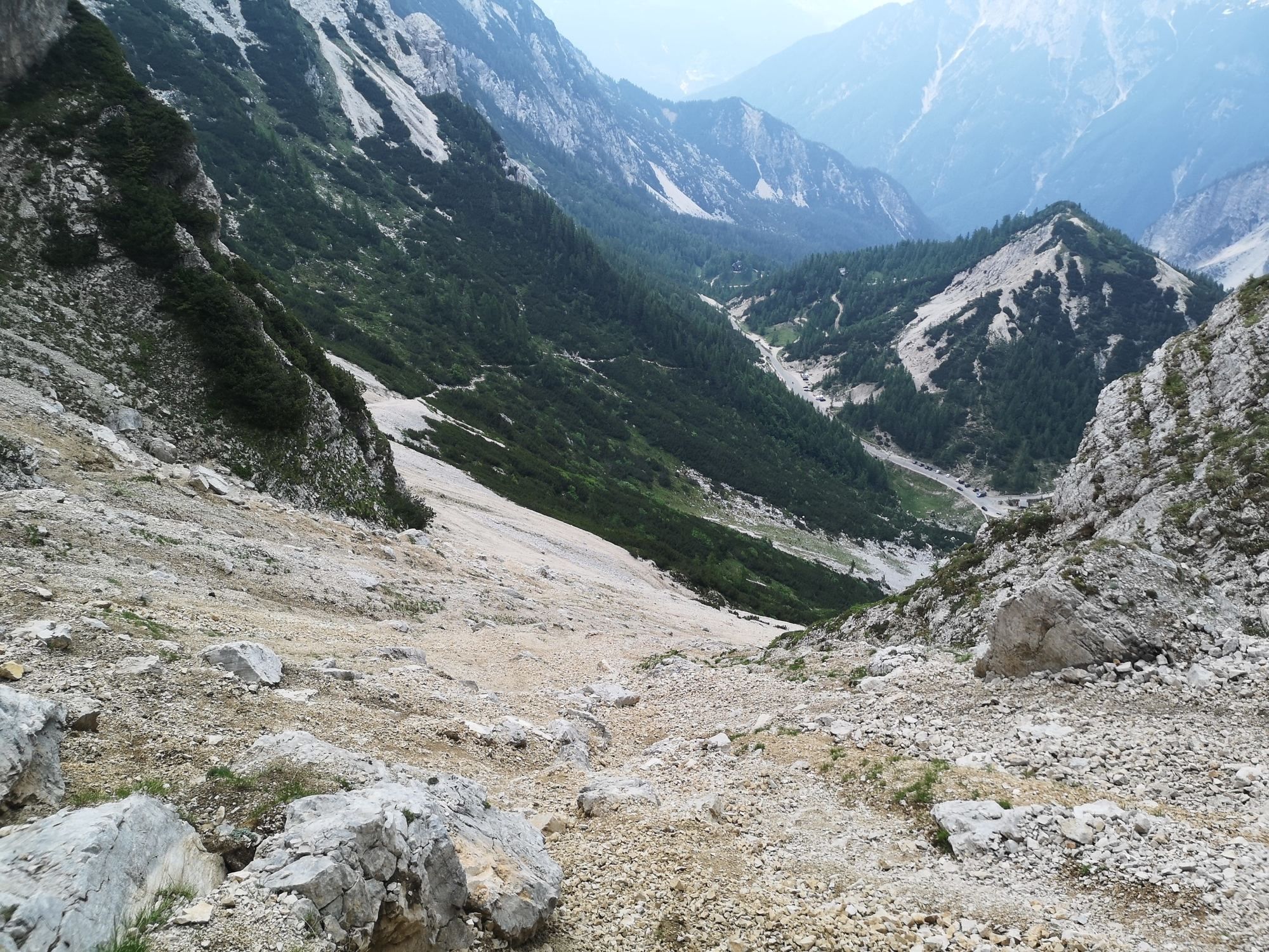
We set off early in the morning, around 7:40. The weather forecast was excellent, so we didn’t rush. There were only a few people around. The hike up was beautiful, but we easily missed the entry point. Therefore, anyone coming from Vršič should watch for the entry at the base of the mountain.
The first third of the route was a pleasant via ferrata. After that, many sections were exposed with no safety lines. The final part of the route, after the C-grade ferrata section, was pure rock climbing, with crumbling rocks and gravel. You have to pay close attention to the markers, as it’s easy to go off the correct path if you take a wrong turn. The summit is breathtaking and worth all the effort. The way down took us along a hiking trail, which was very loose and rocky. We made our way back slowly.


Beliebte Touren in der Nähe
- 4,9
Orrido dello Slizza, Tarvisio, Italië
leichtWanderung 2,65 km - 4,8
Krma - Triglav
schwerBergwandern 18,6 km - 4,8
Fusine-Seen
leichtWanderung 5,43 km - 4,4
Krnicahütte
mittelWanderung 14,9 km - 4,3
Zacchi Wanderung Rundweg
leichtWanderung 8,85 km - 4,3
Grande Ponza
Klettersteig 9 km - 4,7
Weißenfelser Seen: Fusine in Valromana - Ai Sette Nani - Seealm
mittelWanderung 10,3 km - 4,9
Triglav
schwerHochtour 12,1 km - 4,6
Spaziergang entlang der Pišnica
leichtWanderung 8,13 km - 4,1
Dreiländereck über Petrinjakgraben
leichtSkitour 10,3 km

Wandern & Tracking

Über 550.000 Tourenvorschläge, detailliertes Kartenmaterial und ein intuitiver Routenplaner machen die App zum Must-have für alle Naturbegeisterten.

Verpasse keine Angebote und Inspirationen für deinen nächsten Urlaub
Zum Newsletter anmelden
Fehler
Ein Fehler ist aufgetreten. Bitte versuche es erneut.Vielen Dank für deine Anmeldung
Deine E-Mail-Adresse wurde in den Verteiler eingetragen.
Touren in ganz Europa
Österreich Schweiz Deutschland Italien Slowenien Frankreich Niederlande Belgien Polen Liechtenstein Tschechien Slowakei Spanien Kroatien Bosnien und Herzegowina Luxemburg Andorra Portugal Island Vereinigtes Königreich Irland Griechenland Albanien Nordmazedonien Malta Norwegen Montenegro Moldau Kosovo Ungarn San Marino Rumänien Estland Lettland Belarus Zypern Litauen Serbien Bulgarien Monaco Dänemark Schweden Finnland